Ludrovská Valley, SNU Memorial - Ostré
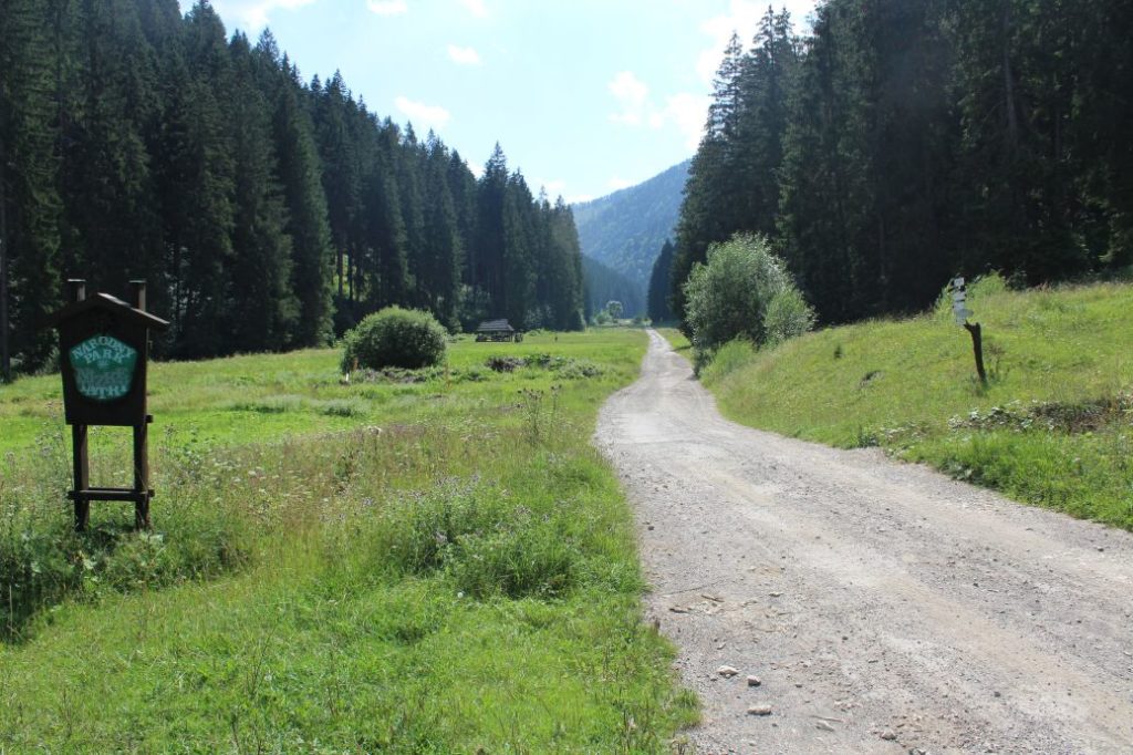
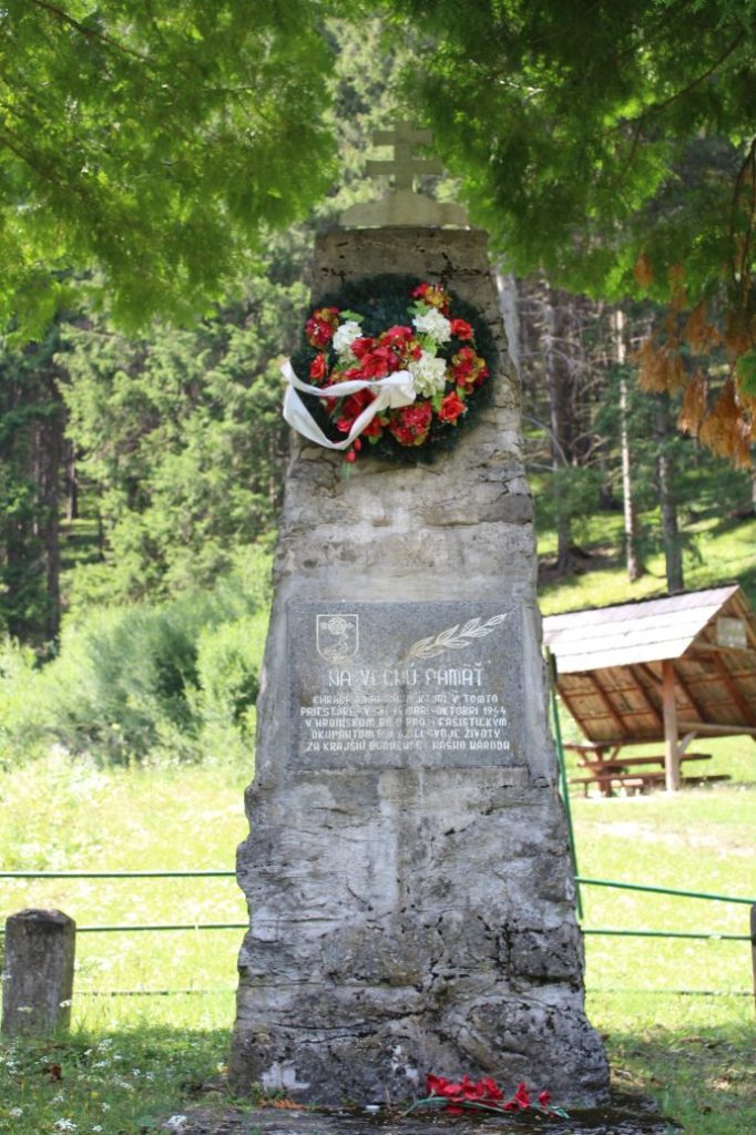
The trail runs from the SNU Memorial in the Ludrovská Valley, through notch Teplice, to peak Ostré (Ostrô). The trail connects the memorial to the battles of the Slovak National Uprising, situated in the valley, with peak Ostré, where the insurgents built their protective lookout station during the battles. There are almost no views from the route, however, this low-frequented route, historically linked with the SNU battles, has its charm.
Number of the route: 8628
Colour: Yellow
Length of the route: 2.2 km
Vertical distance: Ascent: approx. 450 m / Descent: approx. 5 m
Time of completion: 1:30 hours
Reference points for orientation:
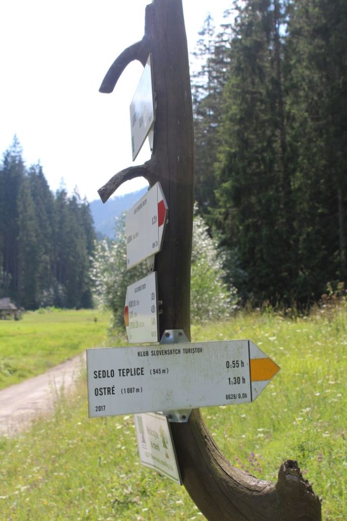
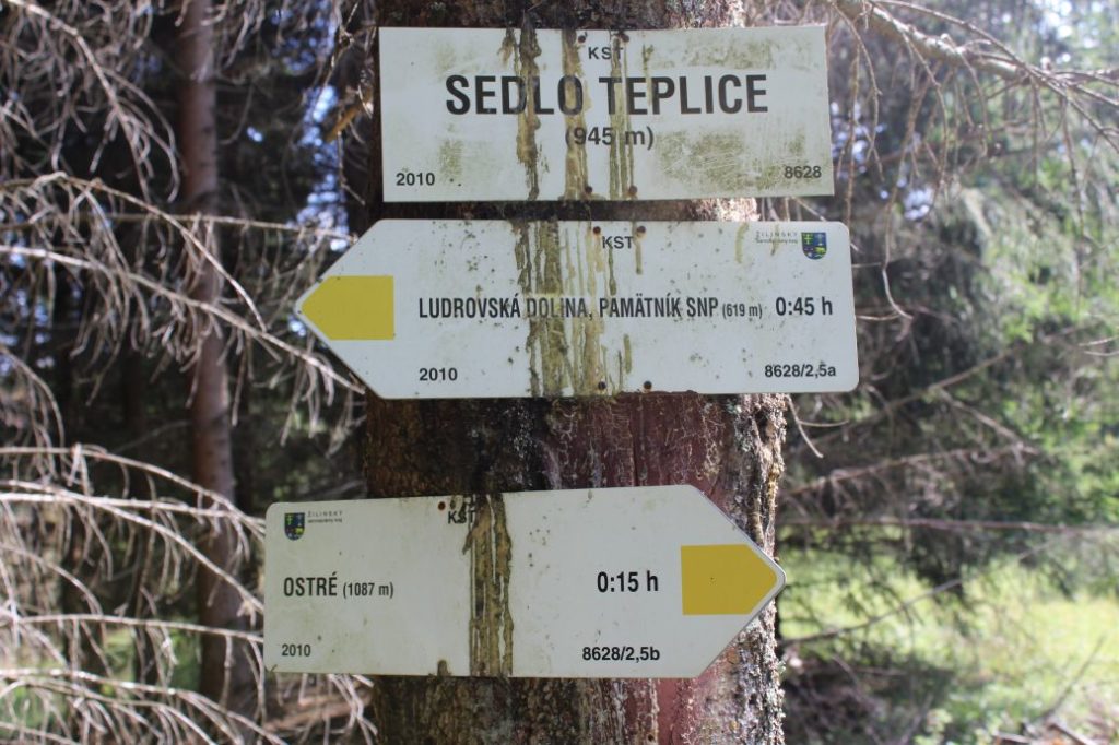
1. Ludrovská Valley, SNU Memorial 630 m
2. Notch Teplice 945 m
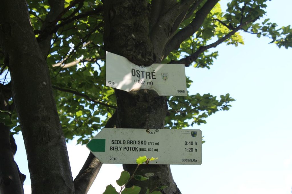
3. Ostré 1087 m (missing direction sign)
Route description:
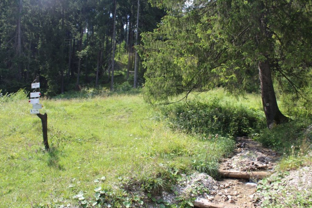
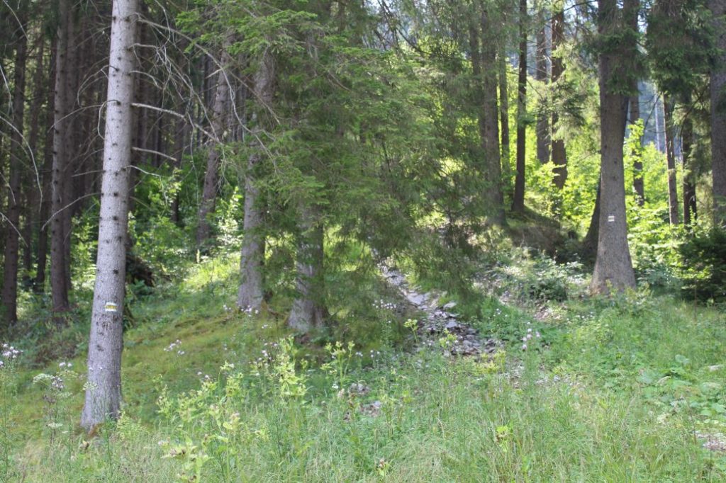
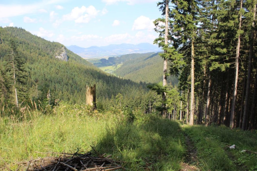
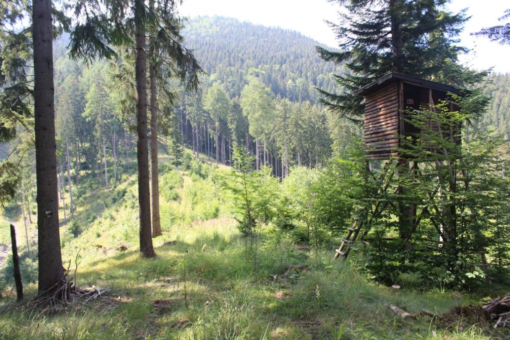
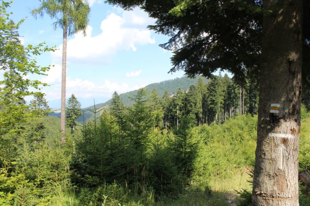
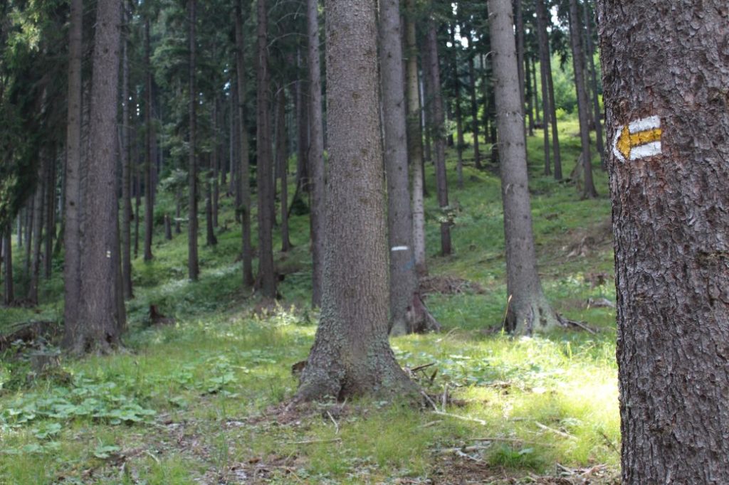
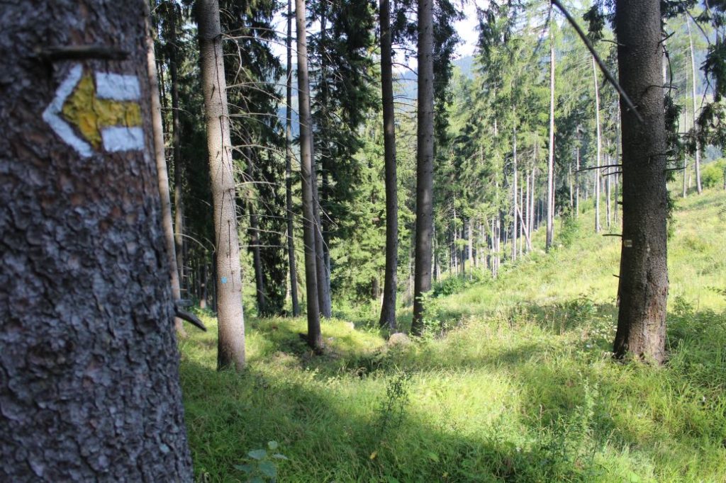
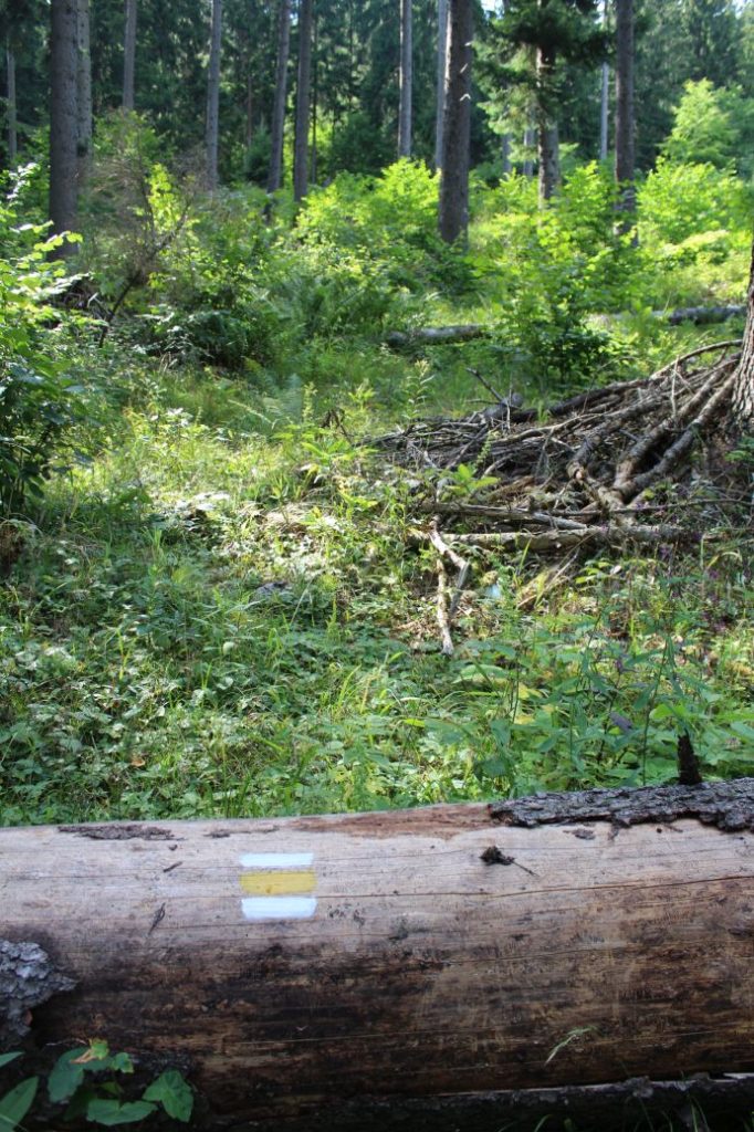
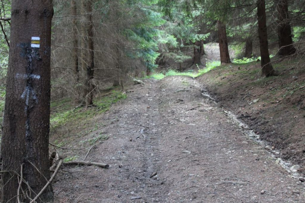
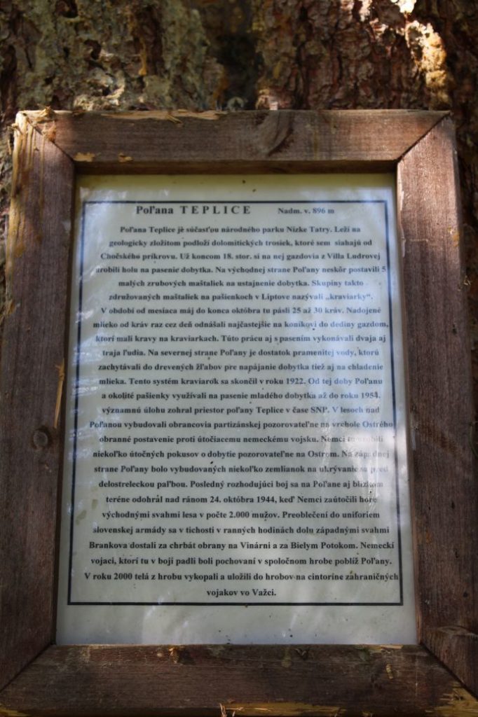
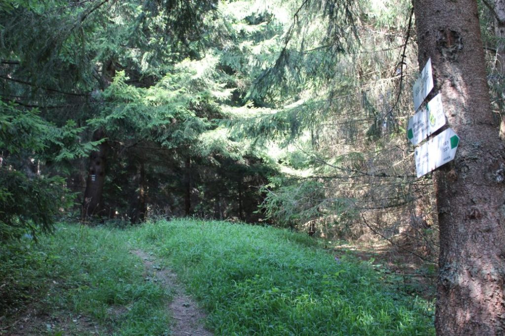
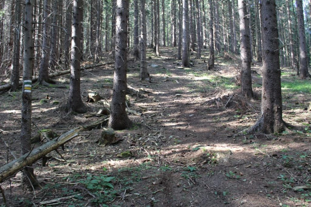
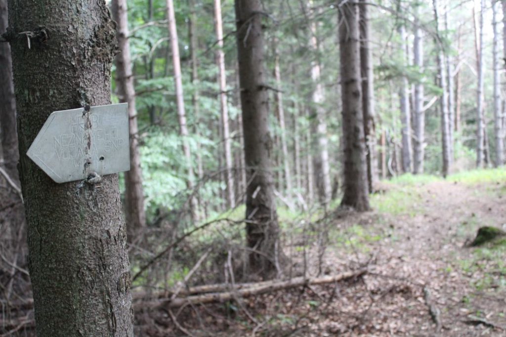
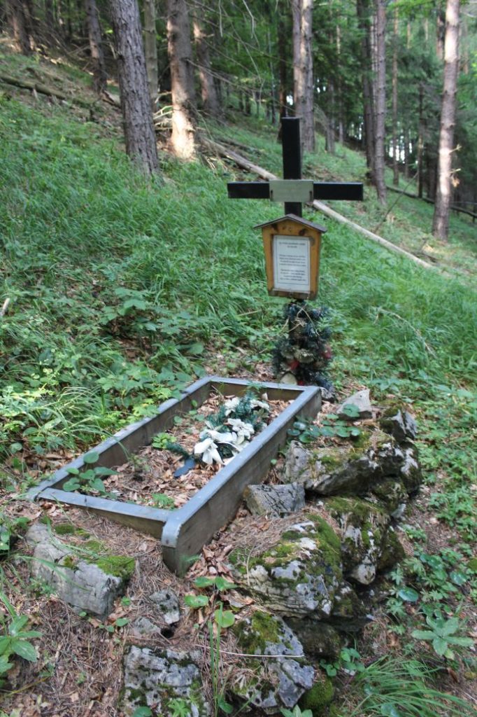
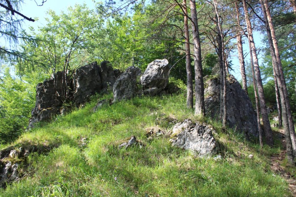
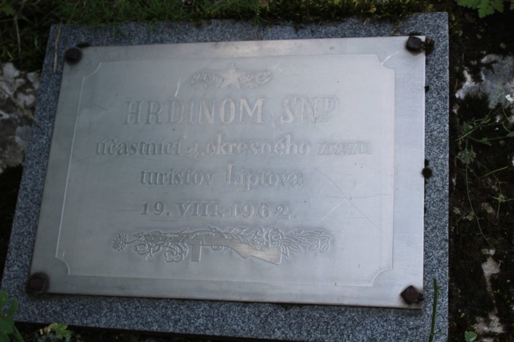
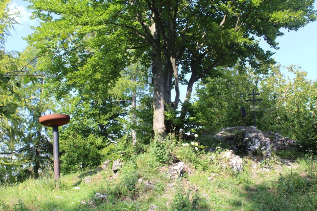
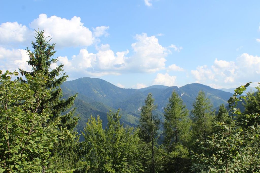
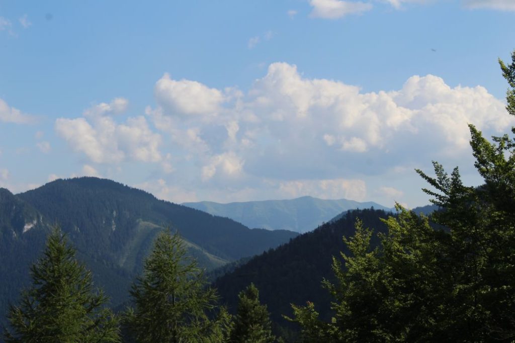
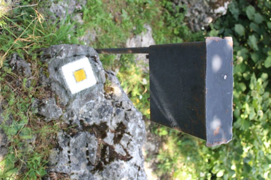
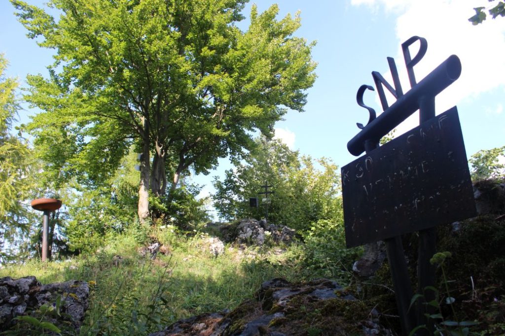
The route begins in the Ludrovská Valley, by the SNU Memorial. You can get to the beginning of the route following the red-marked hiking trail from the village of Ludrová. Right at the beginning, the route runs steeply uphill on a growth-covered sloping road along the ridge. We will find the road following the marks on the trees to the left of the memorial. The sloping road is steep and washed out by water. On the way down, there is a risk of slipping. The marking along the sloping road is sparser, but sufficient, considering the fact that we are following the road itself. At the place where we arrive at a clearing, we can look back and get a partial view of the Choč Mountains and rock Jánošíkova Skala sticking out of the woods in front of us. The ascent becomes milder and the growth on the road gets thicker and thicker. We arrive at a hunters’ hide, behind which we “swing across” a small notch with young trees. Once we are on the other side, at the beginning of the woods, we can look back again and notice that our view has changed and now we can admire a part of the West Tatras in the background. After a short while, the sloping road will disappear completely and we will be guided by the marks slightly to the left, in the direction to a clearing. This section of the route is the one where orientation is the most difficult, because there is no actual pathway and we are guided by the marks on the trees, which, fortunately, are spaced quite closely. As the path is virtually non-existent, you need to watch where you are stepping, as the terrain under the vegetation is rocky with various craters, cracks and branches. The marking will lead us almost all the way to the clearing, to a growth-covered sloping road, which we simply cross to the other side. We continue perpendicular to the sloping road, straight up the hill. If you lose your sense of direction, all you need to do is continue uphill and after a few minutes, you will get to a more distinct sloping road, on which you need to continue to the left. The sloping road will lead us to a meadow notch, Sedlo Teplice, where our route is joined by the green-marked hiking trail from Podsuchá and Brankovo. In the notch, we continue to the right, and on the first tree, we might notice a frame with information about this area. We are passing by the direction marks of the green-marked hiking trail, and simultaneously with it, we continue first mildly and then, after a while, more steeply uphill. The marking follows the ridge, sometimes it runs below the ridge on the left and then it returns to the ridge. Below the peak, there is an aluminium direction sign on a tree (it is more visible on the way down from the peak) pointing towards a grave of an unknown soldier, who died during the SNU. The grave is located approximately 100 metres away from the trail. After a few minutes of walking further ahead from the turn to the grave, the trail leads us to a rock, which, in damp weather, we may by-pass from the right side. After getting past the rock, it is only a short while to Ostré, or Ostrô, as it is called by the locals. At the peak, there are memorial plaques dedicated to the participants of the SNU. The peak offers only partial views of Salatín and Prašivá. There will be a mark on a rock informing us that this is the end of the yellow trail.
Safety:
The route includes sections of steeper terrain, which is untrodden. There is risk in particular when descending through the steeper sections. When passing through the untrodden sections of the route, you need to watch your steps, as the terrain is rocky and covered with growth and moss. Because of the steep downhill sections, the route is not suitable for children under the age of 10. It is also not suitable for visitors with reduced mobility. We recommend using hiking poles and sturdy footwear.
Marking on the route:
The marking on the route is sufficient, except for one section where you need to pay increased attention and look for the marks. Wherever the route is not clear, the marking is more closely spaced for better orientation.
Notes:
– Walking the route back (descent) takes approximately 1:00 hour.
– The route is available all year round, but it is not used in winter.
– The beginning of the route is located approximately 1.3 km away from bus stop ”Ludrová,,otočka“ along the red-marked hiking trail.
– There is a shelter with a sitting area situated at the beginning of the route.
– In the vicinity of the beginning of the route, farther in the valley, there is a shelter with a fireplace and an educational panel about the Ludrovská Valley.
– There is a hikers’ book at the peak.
– In the vicinity of notch Sedlo Teplice (along the green-marked hiking trail), you will find a hunters’ hide, from which you get a view of the Choč Mountains, the West Tatras and peak Salatín in the Low Tatras.
– The route is also used to get to peak Brankov from Ludrová, or to descent from the peak to Ludrová.
– There are no man-altered springs along the route, but there are several unaltered ones in the vicinity of the route.
– At the beginning of the route, there is a wooden panel of the Low Tatras National Park, in the protected zone of which the route is situated.
The route was reviewed in August 2021.

