Lúčky - Great Choč
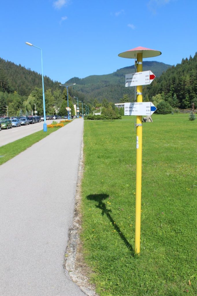
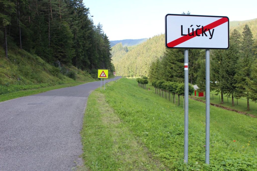
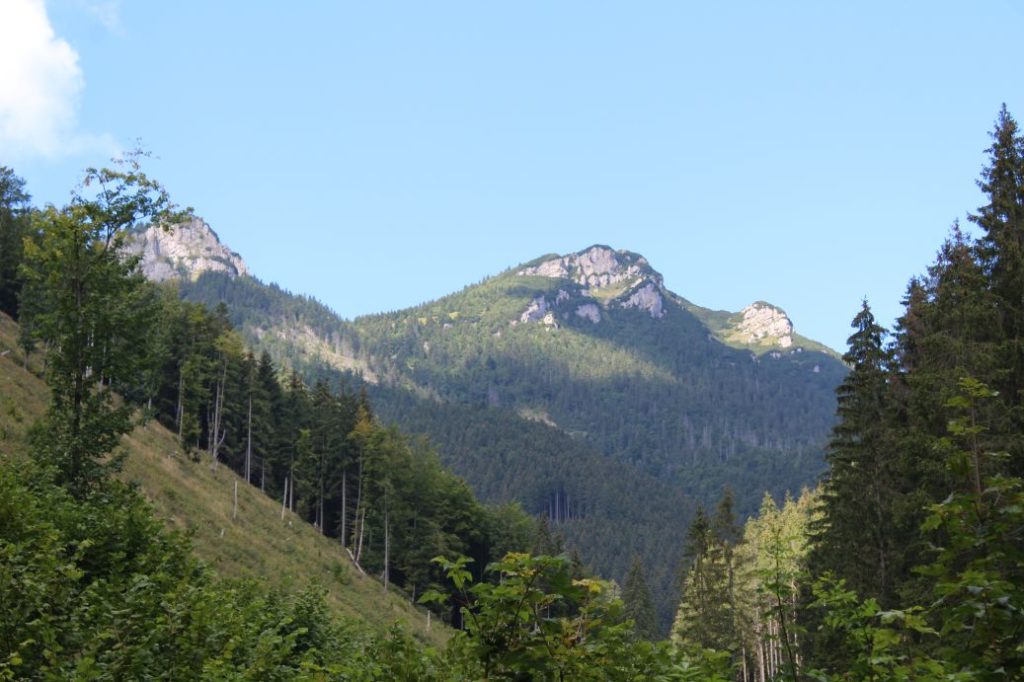
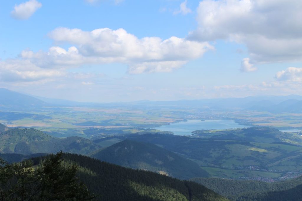
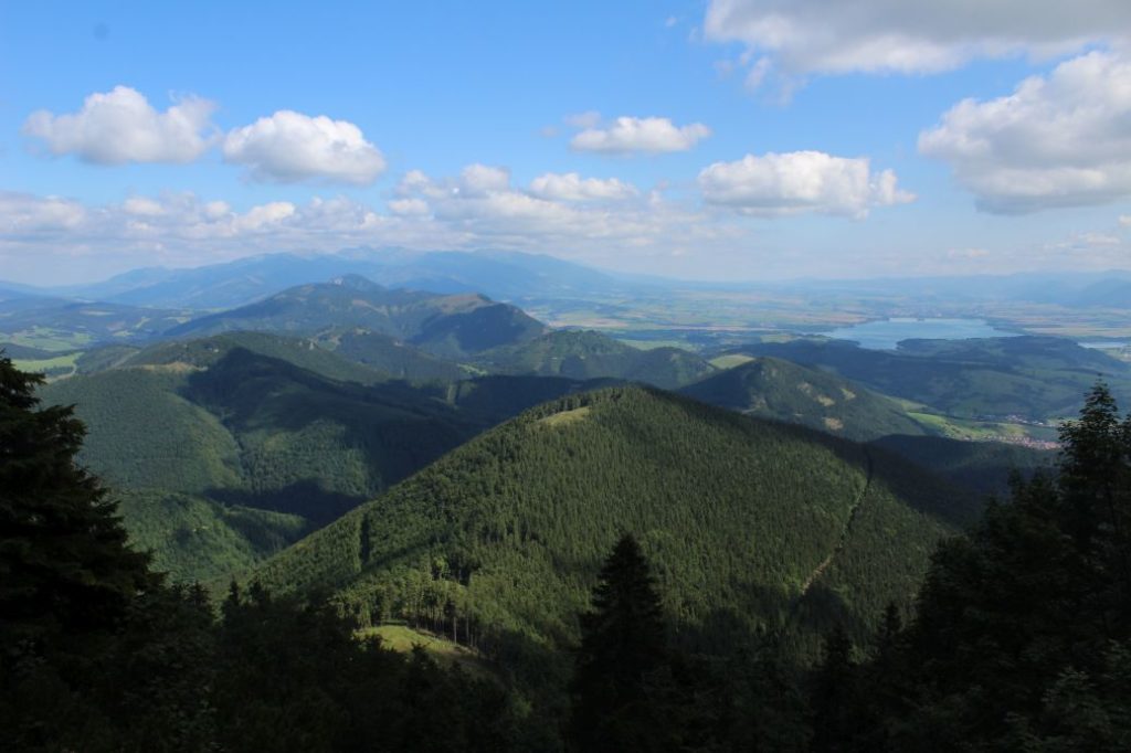
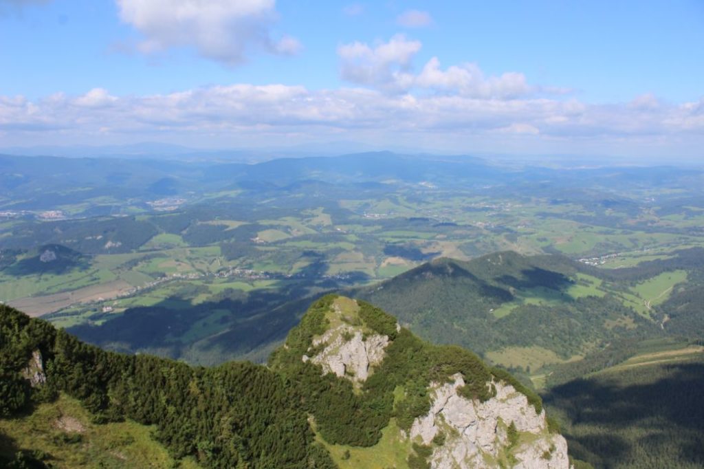
A trail running from the village of Lúčky, through the spa complex, through the woods to notch Vráca, to Great Choč. A popular route to one of the most beautiful viewpoint peaks in Slovakia. It is often visited in particular by the guests and visitors to the spa. The route itself does not have views, but the views at the end make up for the entire route.
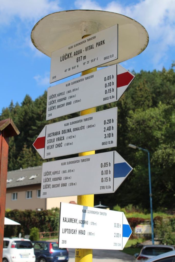
Number of the route: 0852a
Colour: Red
Length of the route: 7.6 km
Vertical distance: Ascent: approx. 1040 m / Descent: 10 m
Time of completion: 3:25 hours
Reference points for orientation:
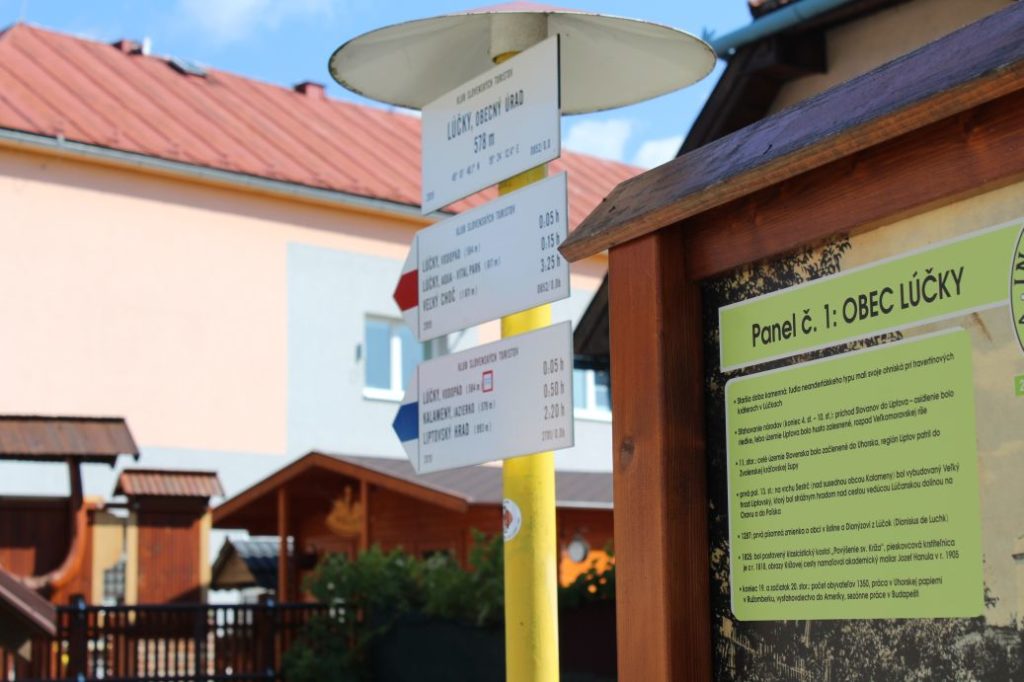
1. Lúčky, municipal authority 578 m
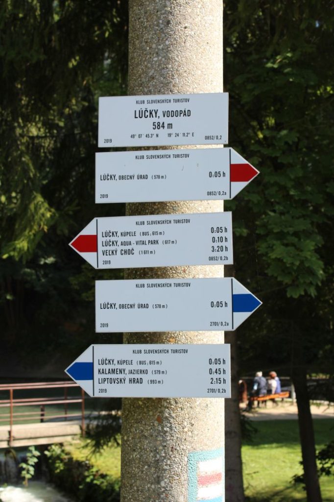
2. Lúčky, waterfall 584 m
3. Lúčky, spa 615 m
4. Lúčky, aqua – vital park 617 m
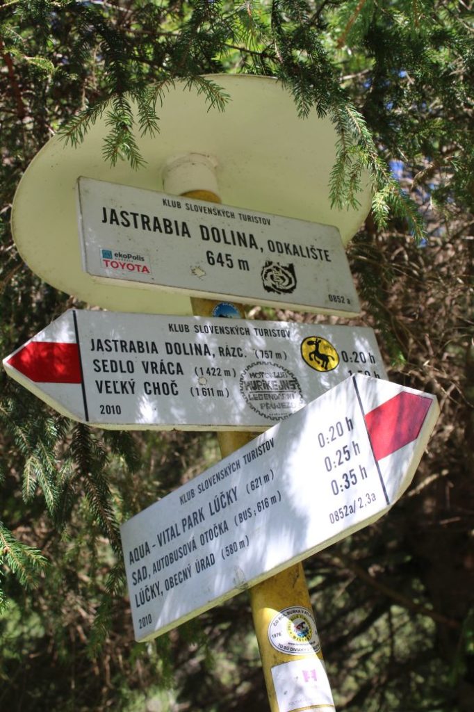
5. Jastrabia Valley, sludge pit 645 m
6. Jastrabia Valley, intersection 757 m
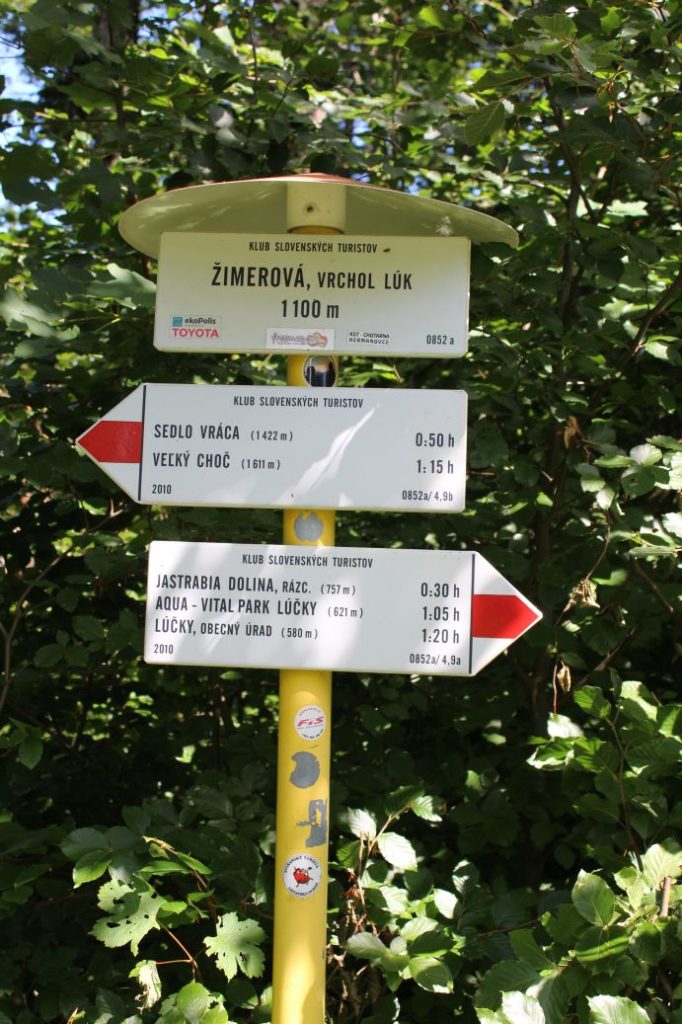
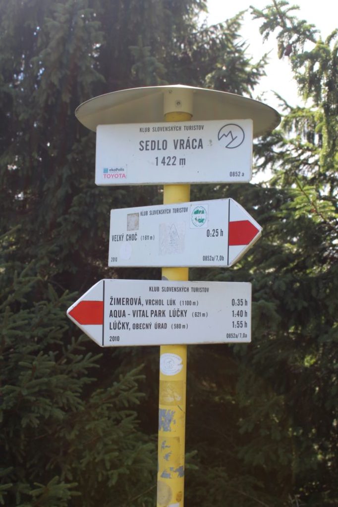
7. Žimerová, top of the meadows 1100 m
8. Sedlo Vráca (notch) 1422 m
9. Great Choč 1611 m
Route description:
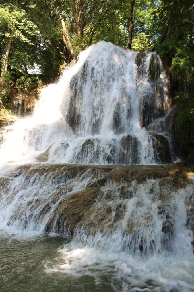
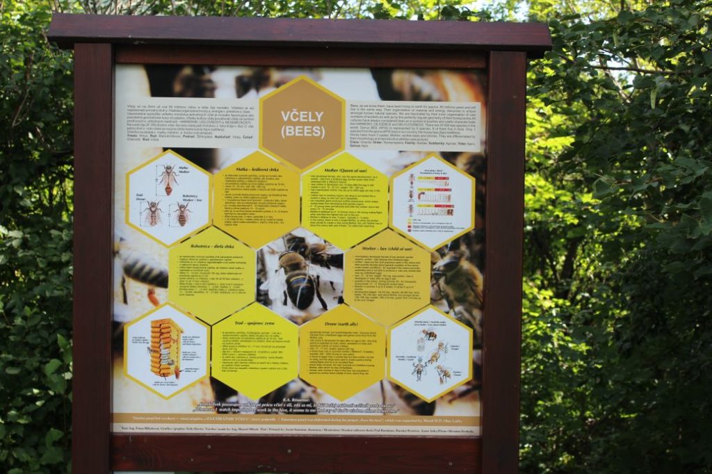
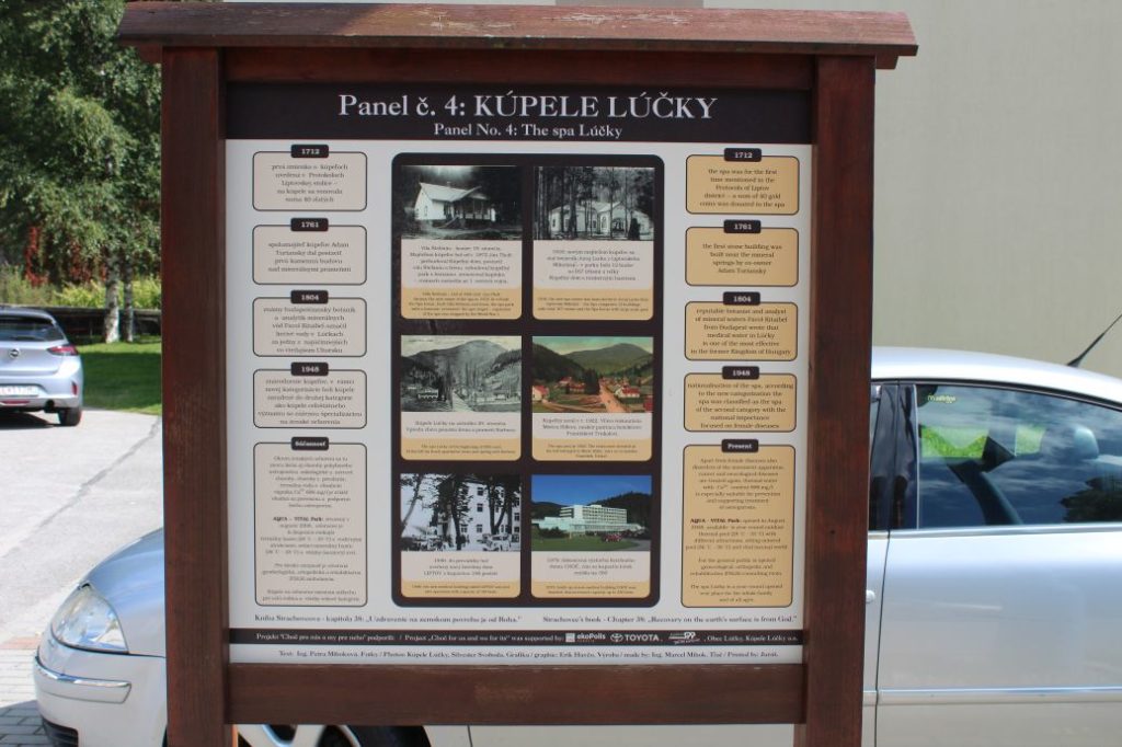
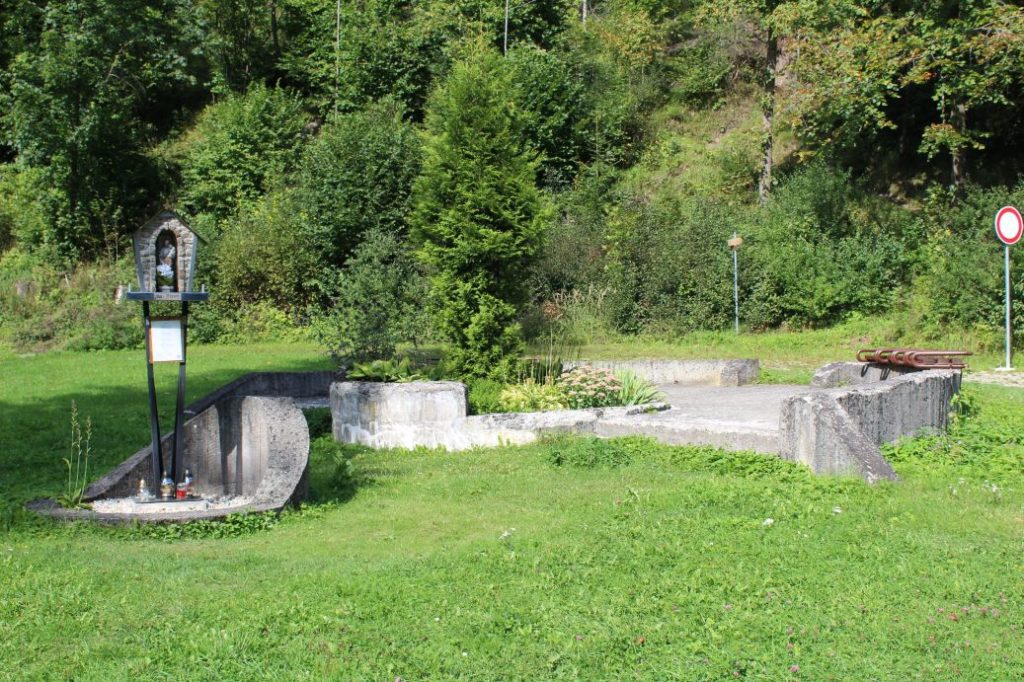
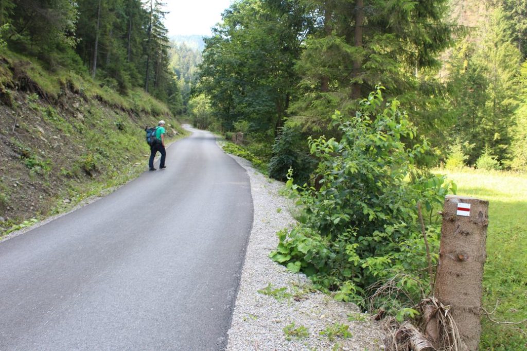
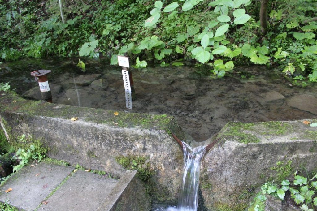
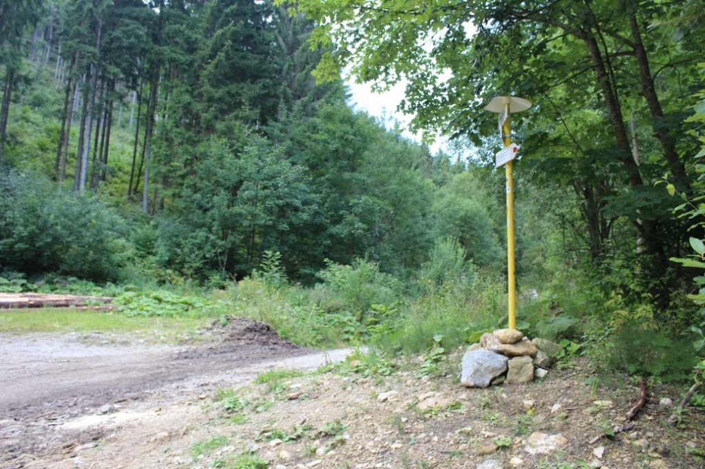
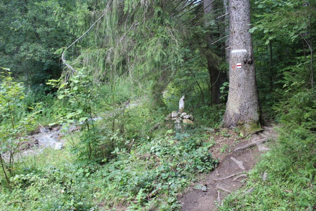
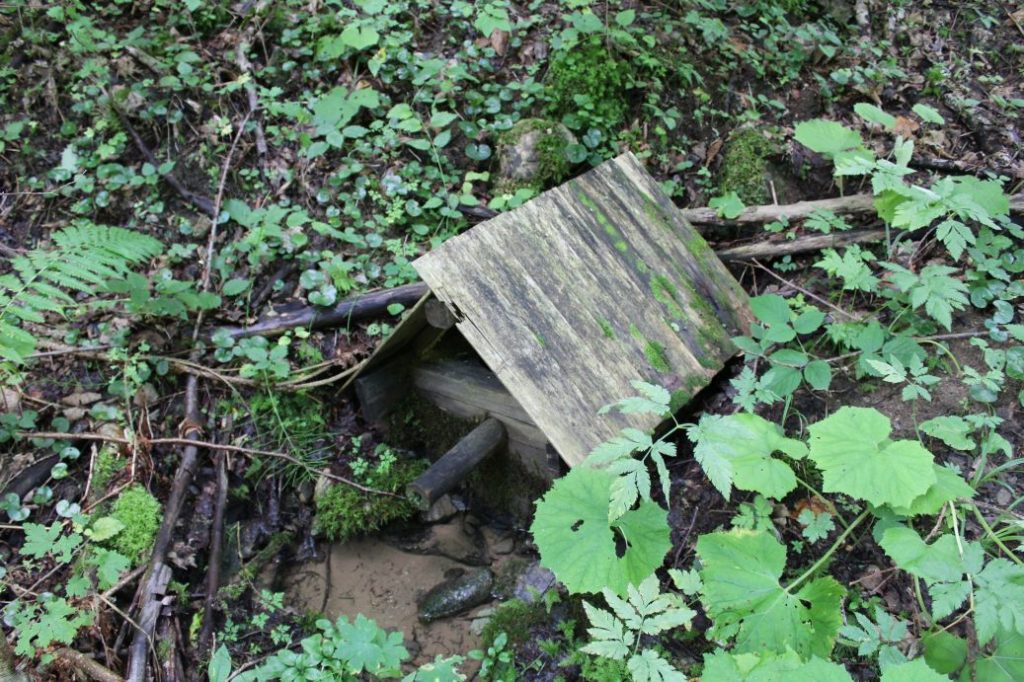
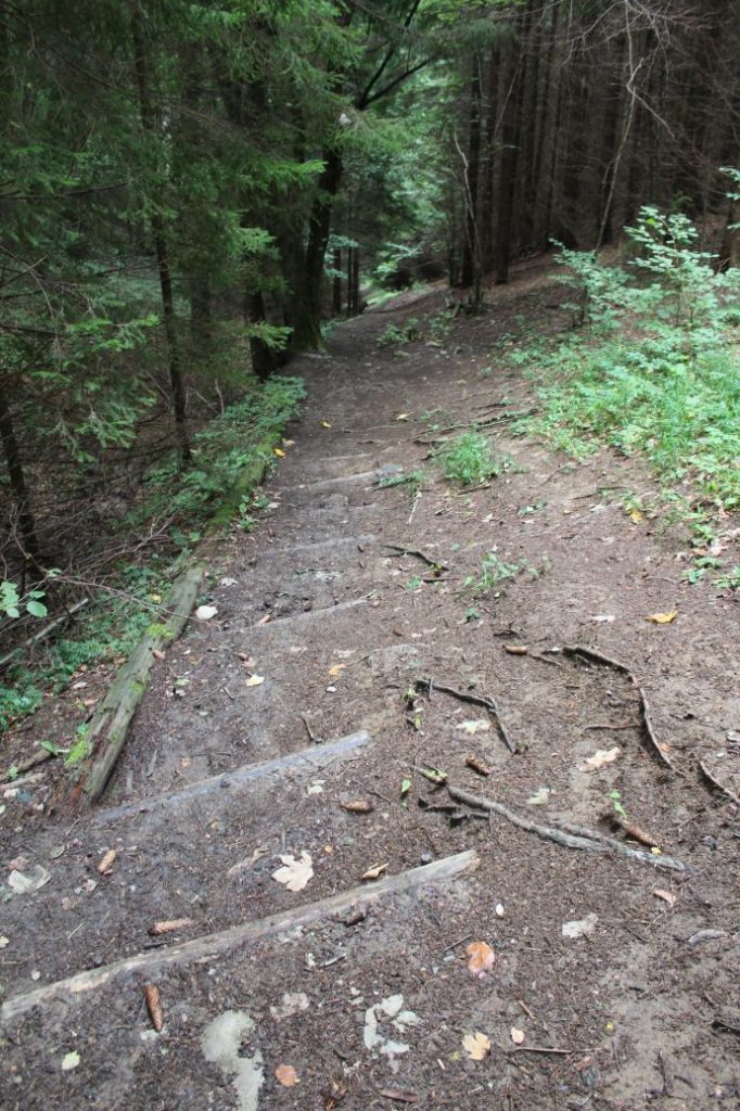
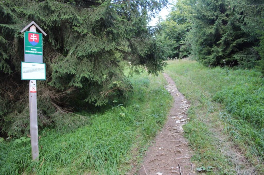
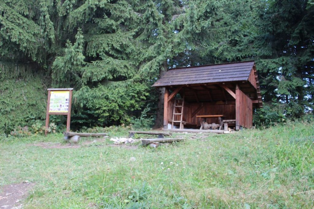
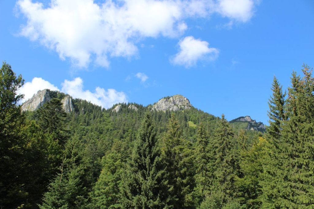
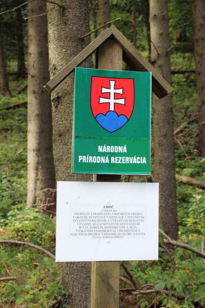
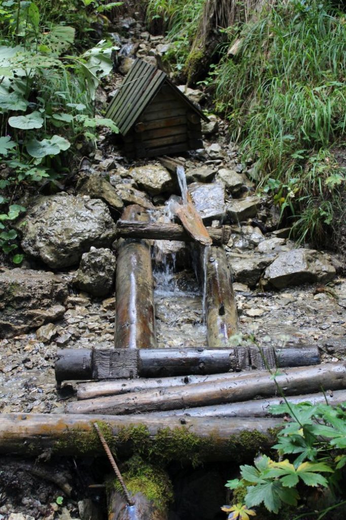
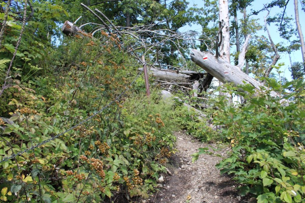
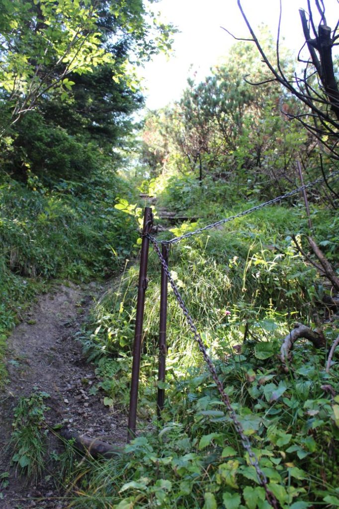
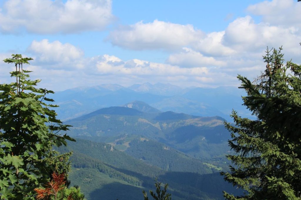
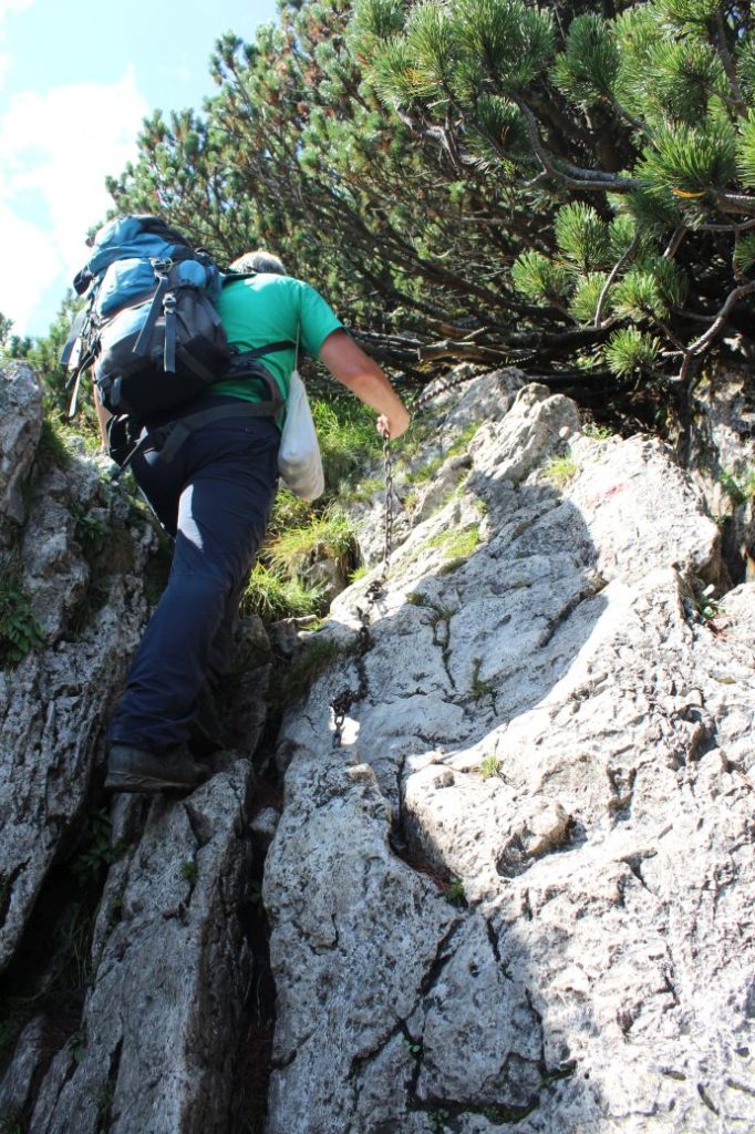
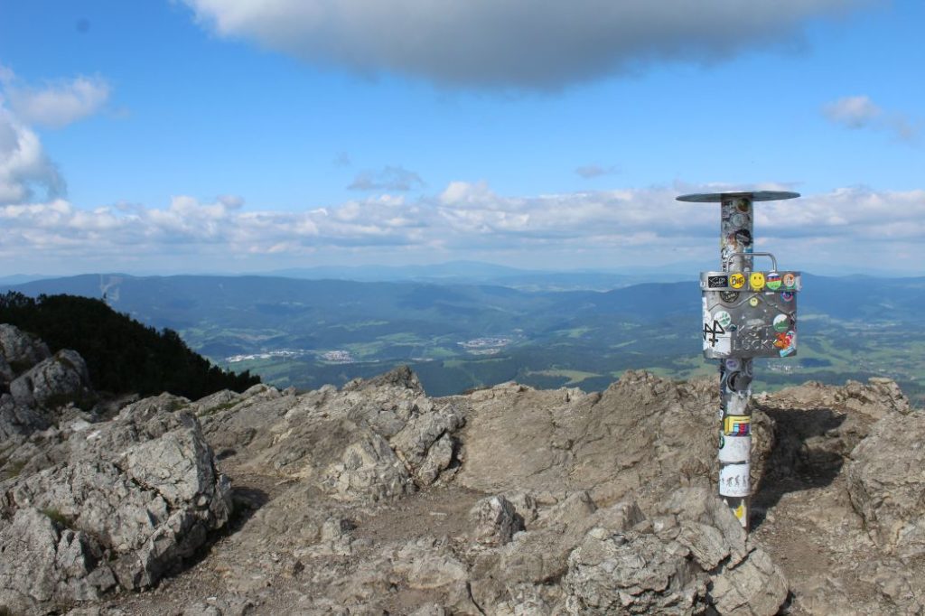
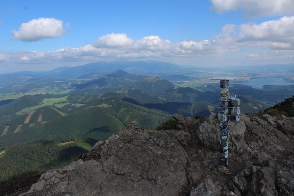
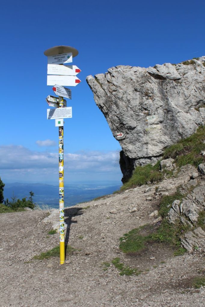
The route begins in the village of Lúčky, by bus stop “Lúčky,,OcÚ“. It passes by the local Tourist Information Centre and the Municipal Authority, in front of which there is a wooden statue of a raftsman. It continues towards the park, which is the location of the national natural monument of Lúčky Waterfall, which is worth seeing in any season of the year. The waterfall is monumental especially after rainy weather and in spring. The steps lead us above the waterfall, where we pass by an apiary and panels of an educational trail about bees. The trail will lead us to the spa complex, which we walk through on the sidewalk by the road. At the spa complex, we can refresh ourselves from mineral spring Valentína, situated by the entrance to Aqua-Vital Park, or we can buy traditional spa wafers. We pass by the chapels at the spa park and we may notice a turn to the right, where the direction sign reads “Diviačia obora“ (boar pen), which will lead us to a boar pen, if we are interested. The asphalt road in the valley leads us to the mouth of the Jastrabia Valley, “Jastrabia dolina, odkalište“ (Jastrabia Valley, sludge pit), where we continue to the left, also on an asphalt road. The road passes by a resurgence, which we can use to refresh ourselves. In the left-hand curve “Jastrabia Dolina, rázcestie“ (Jastrabia Valley, intersection), the route exits the road to the right, across the bridge, and then continues uphill by the creek. After about 200 metres, the route crosses the creek. At this place, there is a well below a tree, which is in a rather neglected condition. The route leaves the creek, above which we may notice the rocky cliffs of Choč. The marked trail leads us through the valley, to a wooden cross on a tree. Here, we begin a steeper ascent along a muddy path. At some places, the path is altered into a makeshift staircase made of rocks or wood. On the paved road to which we are led by the trail marks, we go neither right nor left, but we just cross the road to the other side and continue through the woods. On a small meadow, we will find a wooden shelter with a sitting area and an information panel of an educational trail about this location. A little bit further ahead, on another meadow, we will get a view of the rocky cliffs of Small and Great Choč. At the periphery of the meadow, by signpost “Žimerová, vrchol lúk“, we are reassured that we are still on the correct route. The route will lead us to the periphery of the National Nature Reserve of Choč, with another information panel of the educational trail. The route leads us along the periphery of the reserve, to a well, from which we can refresh ourselves. The trail continues to a meadow (a clearing and a blowdown), where it makes a sharp left turn, up the slope with fallen trees. At this place, we are entering the nature reserve and we have to be very considerate to the nature in this territory. The steep uphill path leads us through the blowdown, which is cleared for passing and offers views of Orava, Liptov, the West and the Low Tatras. The more difficult sections of the ascent are secured with a metal chain, which is helpful in summer as well as winter. The steep, rocky path secured with a chain will lead us to notch Vráca, situated between Small and Great Choč. Here, we see the last panel of the educational trail. The route continues to the right, passes by the last trees and enters the zone of mountain bushes, where the path is rocky and also secured with a chain in the steep sections. We arrive at the peak from the south and the first viewpoint at the top reveals beautiful views of Liptov and Orava. A few metres further ahead, at the very top, there is a viewpoint compass rose, which helps us identify the surroundings and the hills. The route ends a few metres further ahead, below the peak, by a signpost, where several other routes meet. The view from the peak is beautiful, circular, and in nice weather it has no competition not only in Liptov, but in the entire Slovakia.
Safety:
Along the route, there are several steep uphill / downhill sections, which are slippery in damp as well as dry weather. Some sections in the woods pass through muddy terrain. The sections of the route which are steeper and more demanding are secured with chains. We recommend using hiking poles and high-quality anti-slip footwear. In winter, you need to use climbing irons / crampons. The route is not suitable for children under the age of 10. The route is also not suitable for persons with reduced mobility.
Marking on the route:
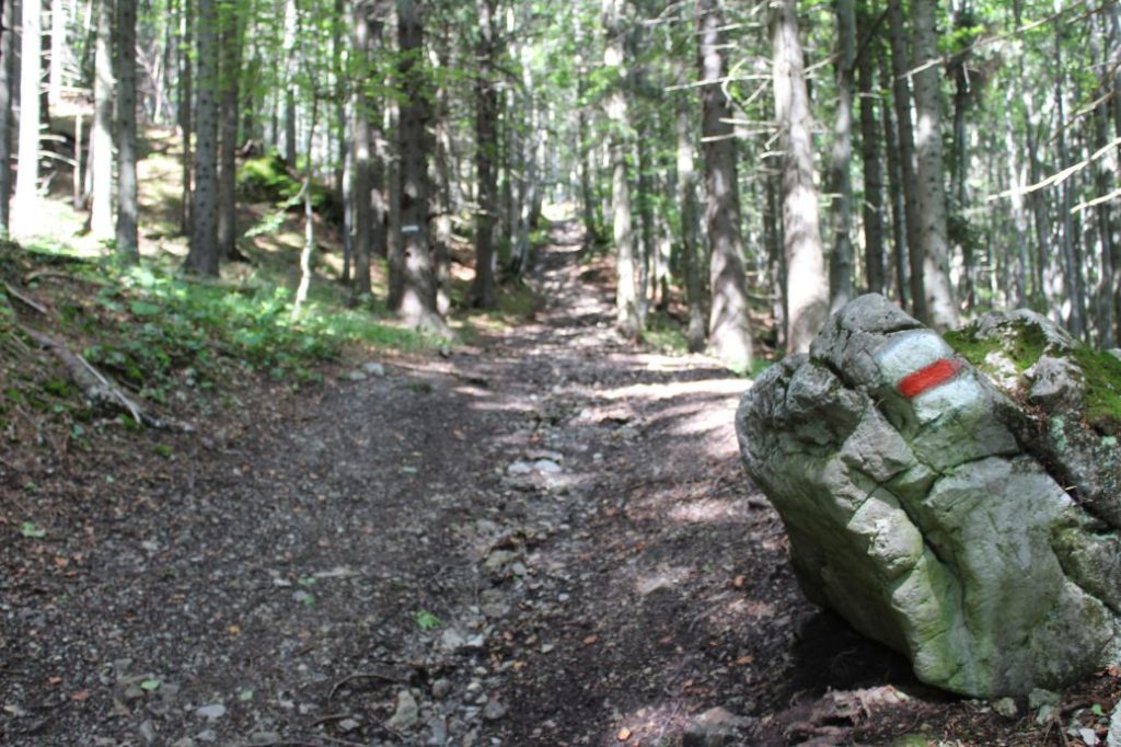
The marking of the route is sufficient, you often need to pay increased attention and look for the marks, especially at places with thicker vegetation and at places where you are changing direction. The marking is sparse, but it is available at all the places where you need to change direction or exit a road / path, the only exception is the clearing/blowdown in the upper section of the woods, which is covered with grass and there are several paths created by woodland animals, and you need to look for the marks and improvise a little. The marking on the way down is a bit sparser and less visible than on the way up.
Notes:
– The trail is accessible all year round.
– There is an educational trail running simultaneously with the route.
– The detour to the boar pen takes approximately 20 minutes in total, there and back.
– Passing of the route in the opposite direction takes approximately 2:15 hours.
– There is a parking lot near the beginning of the route.
– Situated near the beginning of the route is a grocery store, refreshment establishments and an accommodation facility.
– Situated near the beginning of the route is a natural monument of Lúčky Travertines.
– There are suburban buses running from Ružomberok to the beginning of the route.
– There are no man-altered springs with potable water located on the route.
The route was reviewed in September 2021.

