Educational trail Čierny Kameň
The educational trail is situated mostly in the cadastral territory of Liptovské Revúce, 24 km away from the centre of Ružomberok. It starts in Stredná Revúca at the end of the built-up area and it ends in Vyšná Revúca, in the area of Bučina.
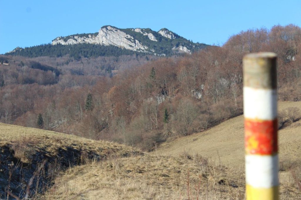
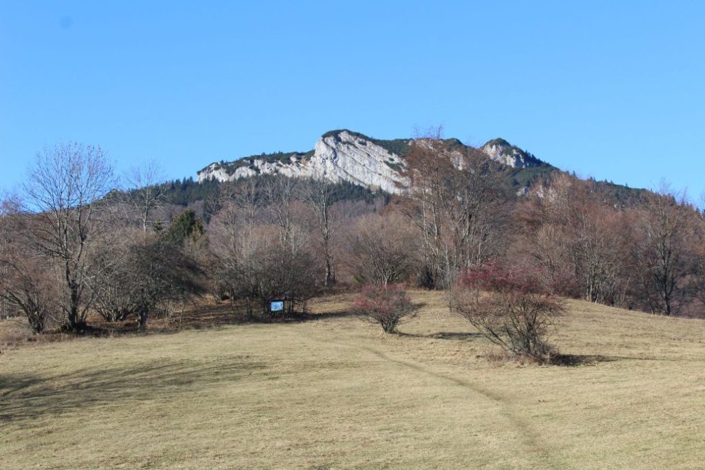
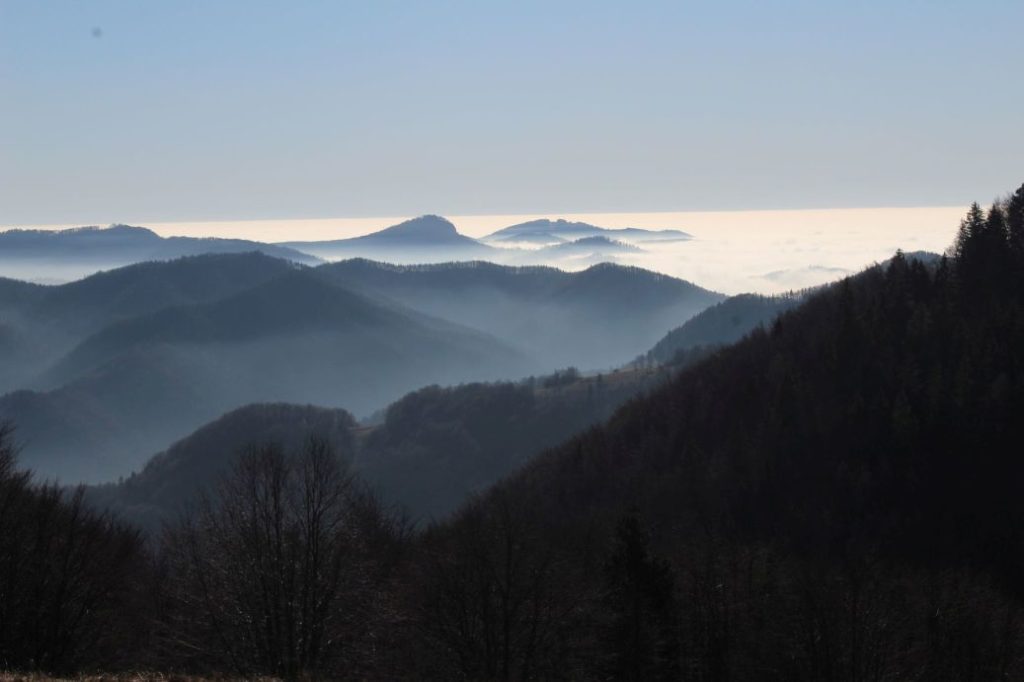
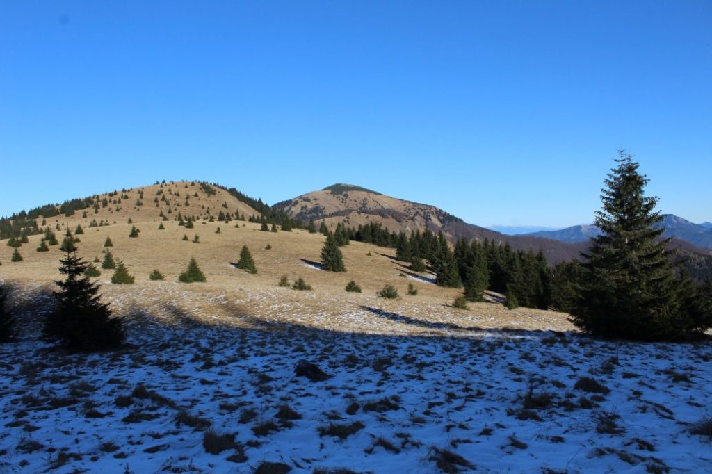
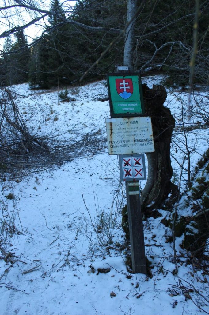
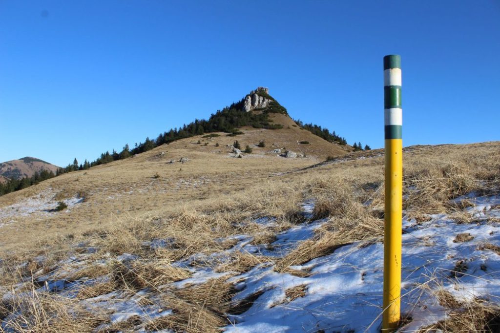
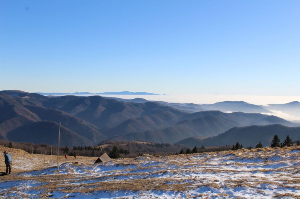
In the beginning, the trail runs through foothill meadows, gardens, wooded areas and mountain meadows. Later, it passes by the National Nature Reserve of Čierny Kameň on its way to the highest point of the route in notch Sedlo Ploskej, from where it runs down through mountain meadows, gardens and wooded areas, back to the village of Liptovské Revúce. Along the trail, you will learn a few facts about the natural and the historical attractions in the area of Čierny Kameň.
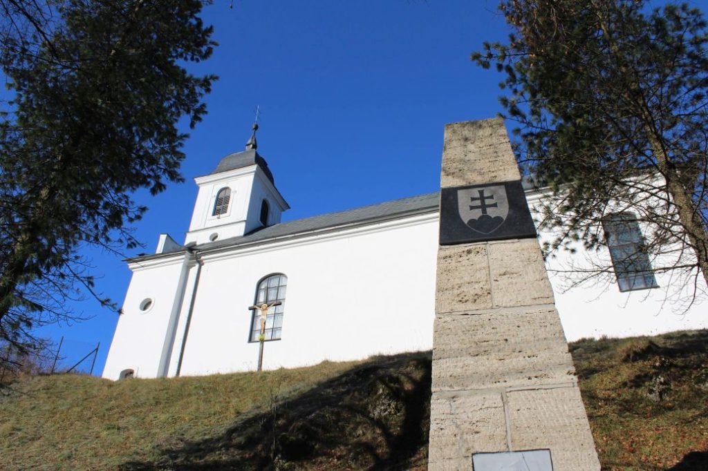
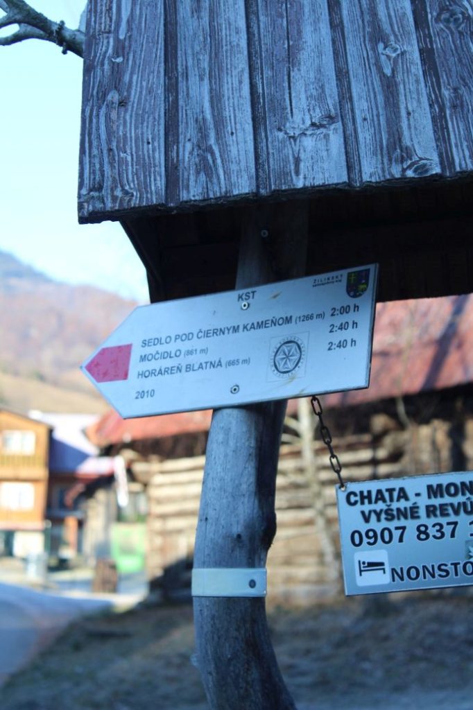
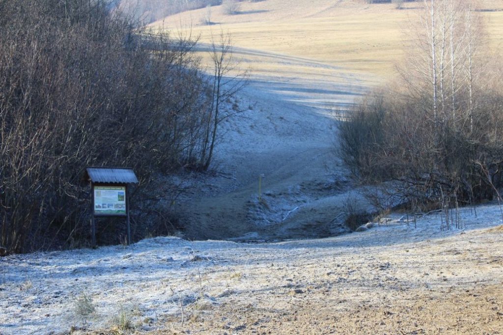
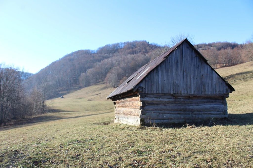
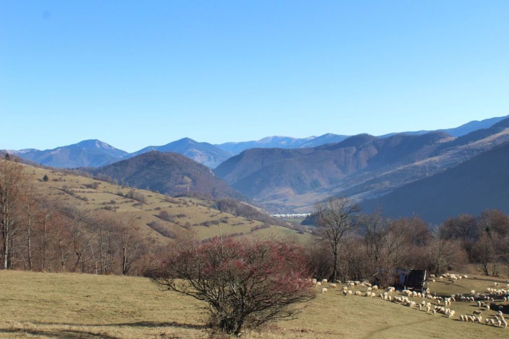
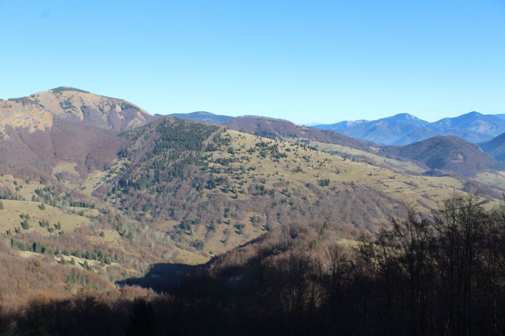
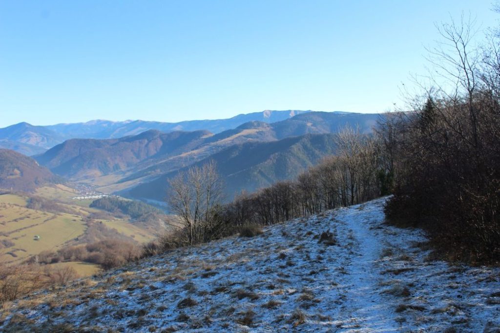
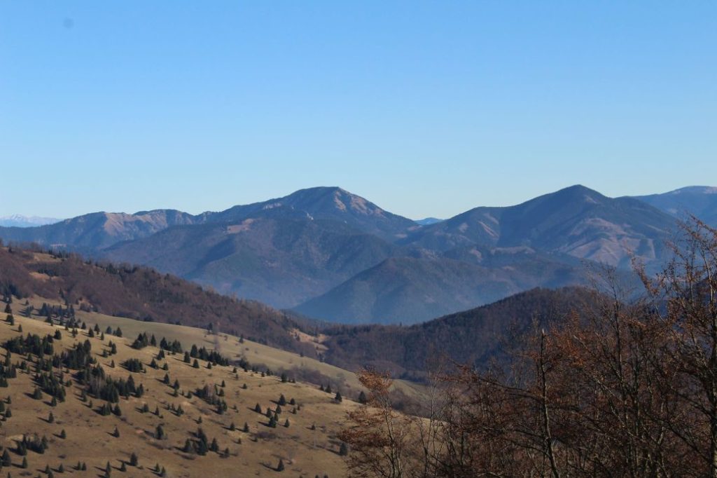
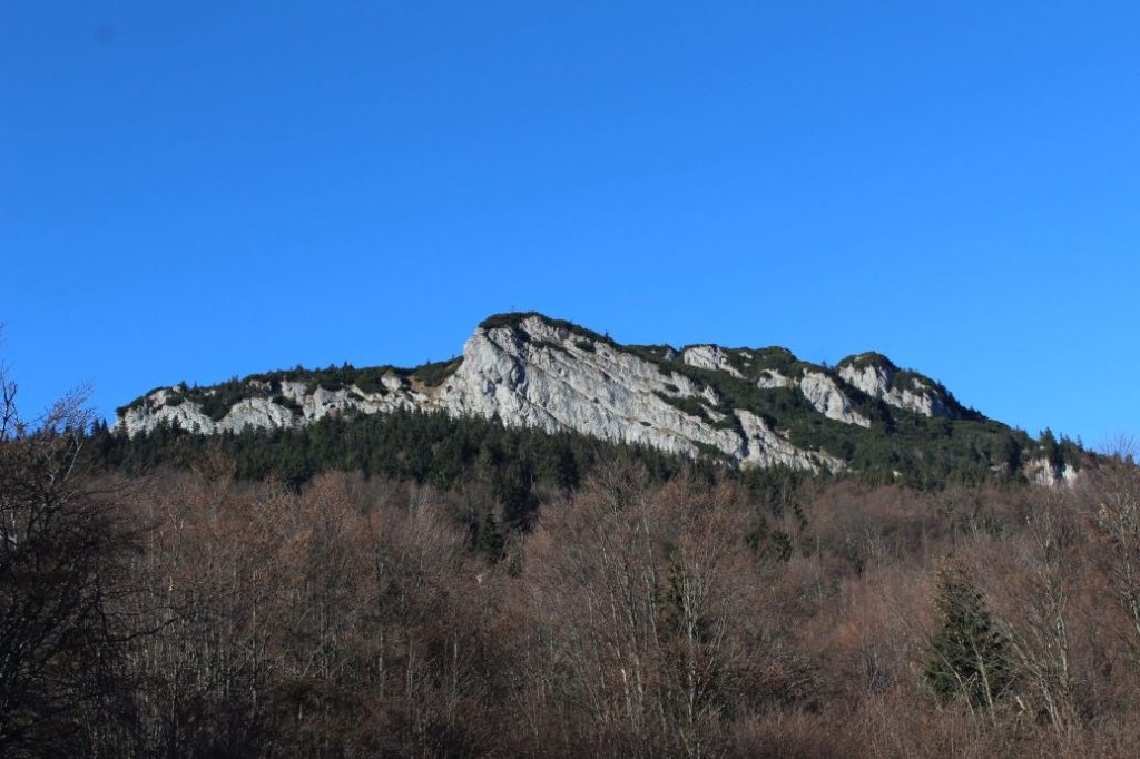
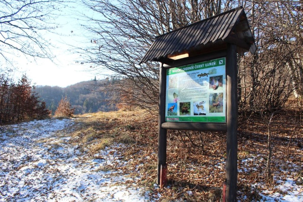
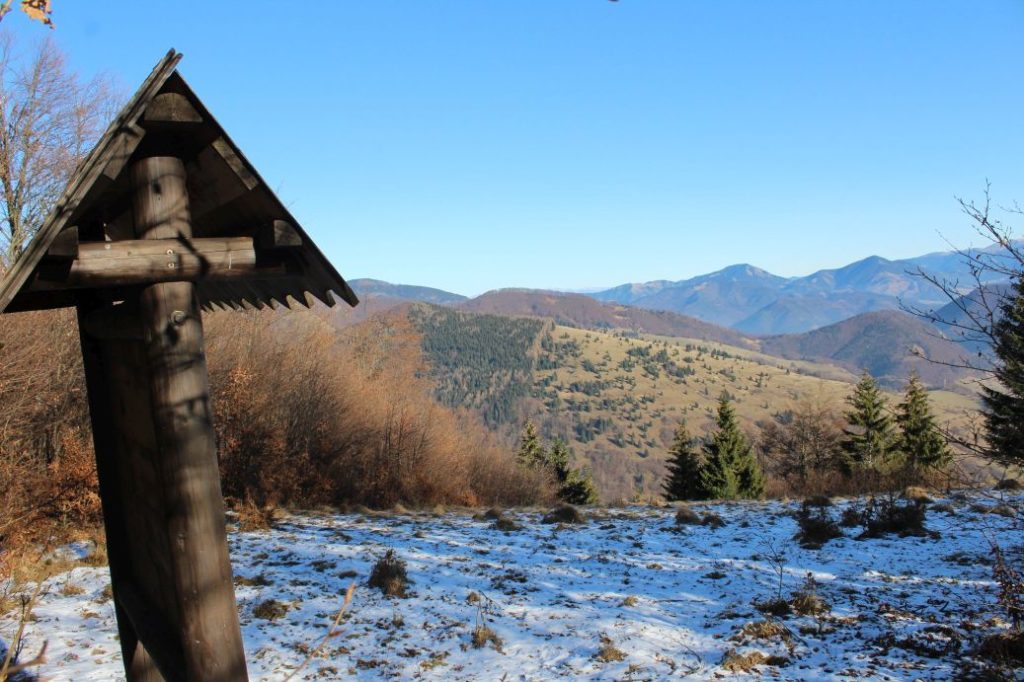
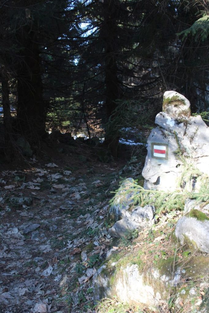
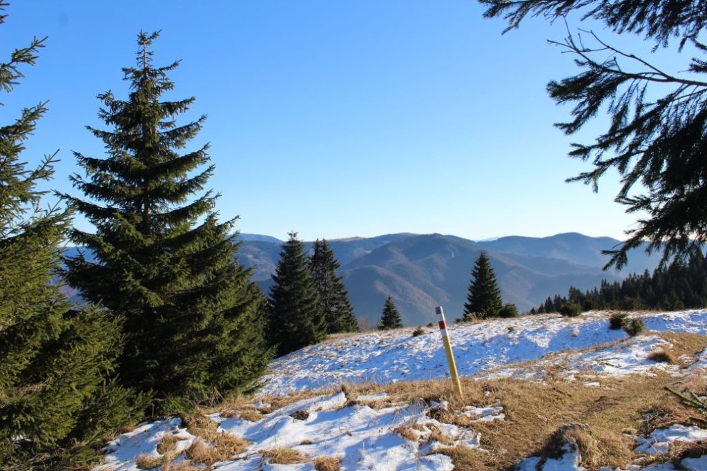
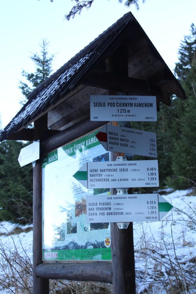
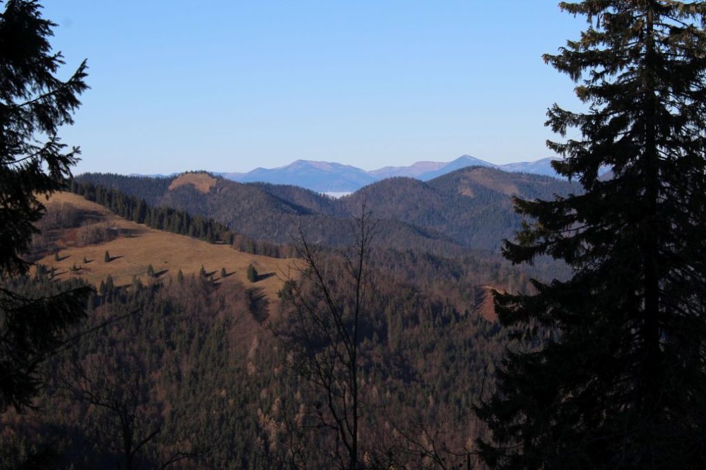
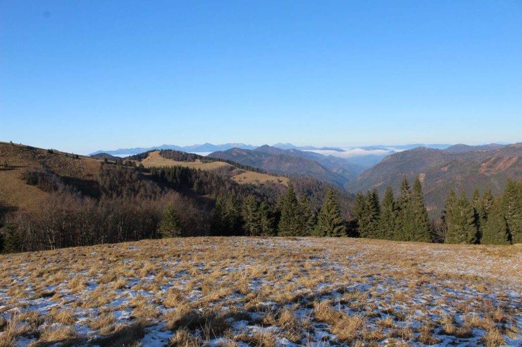
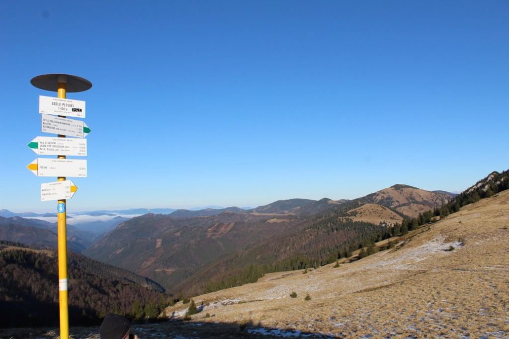
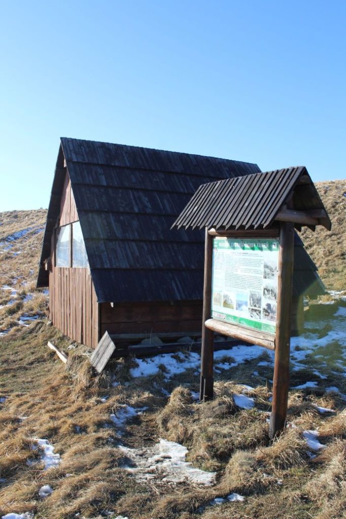
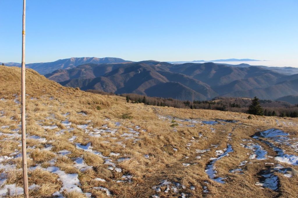
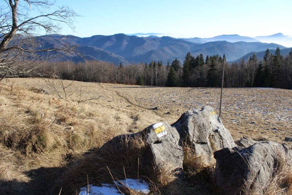
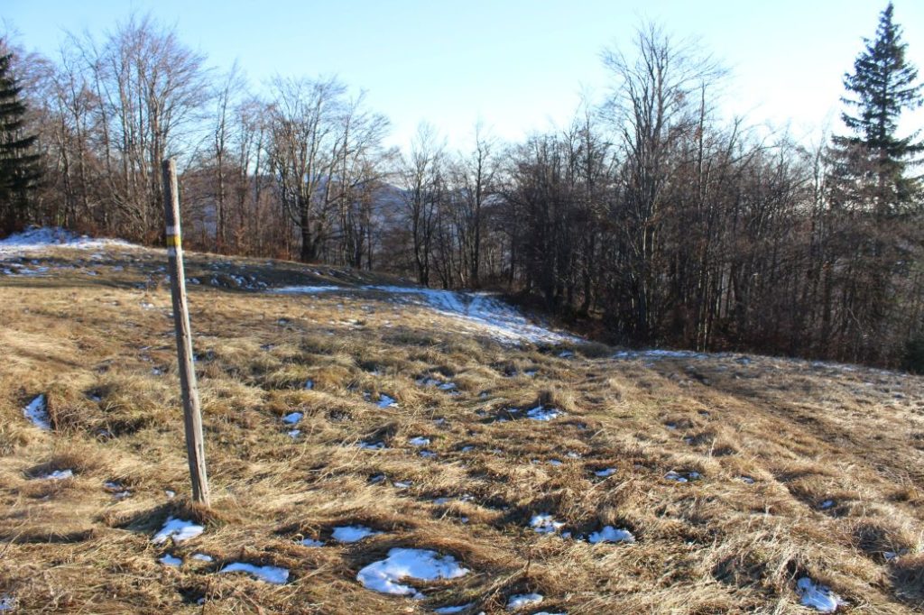
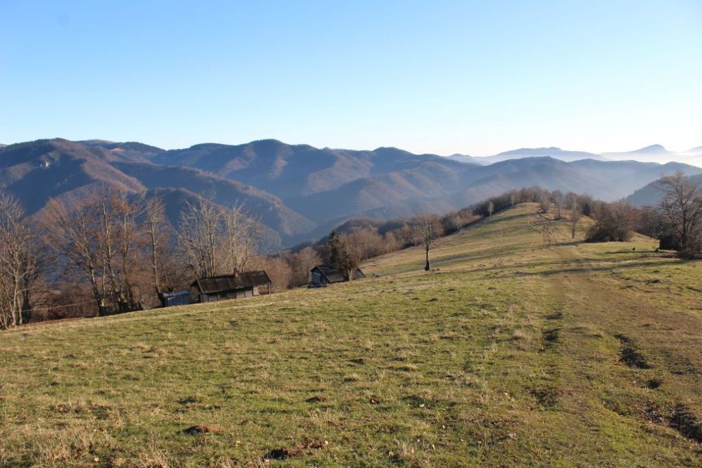
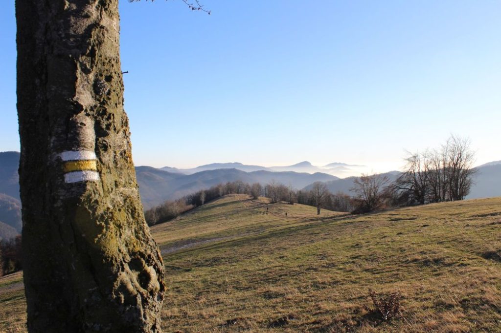
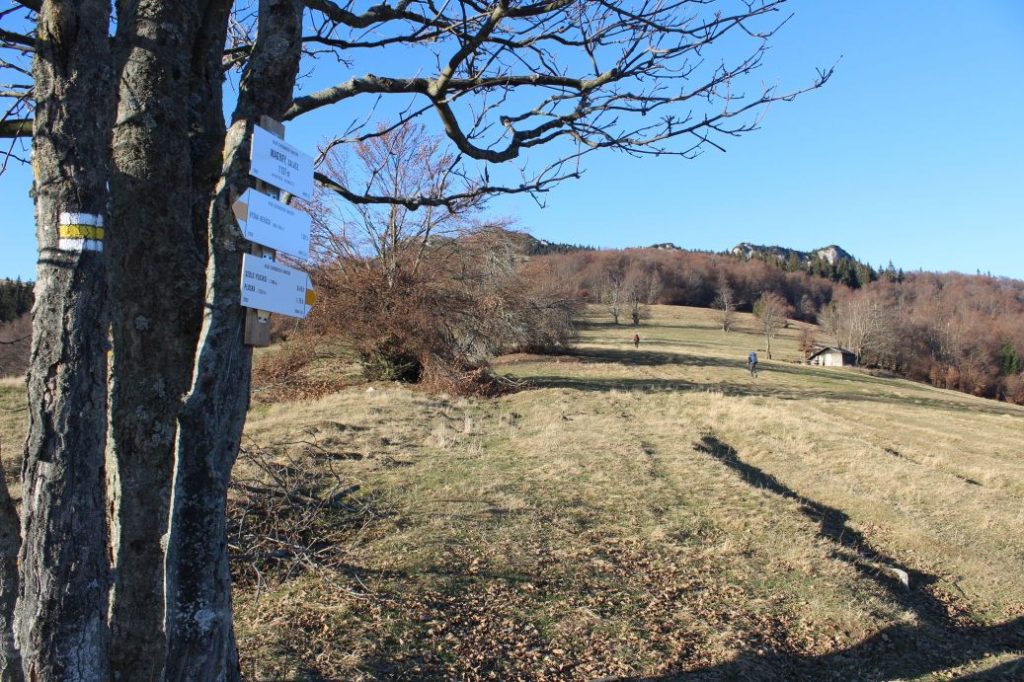
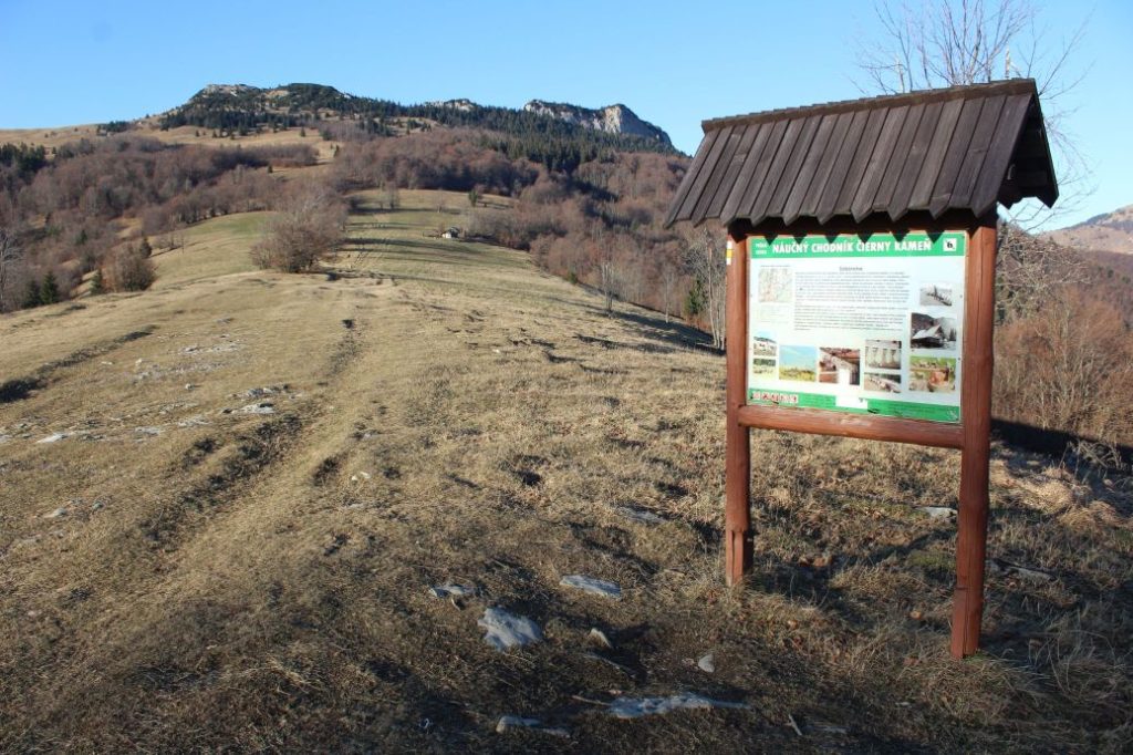
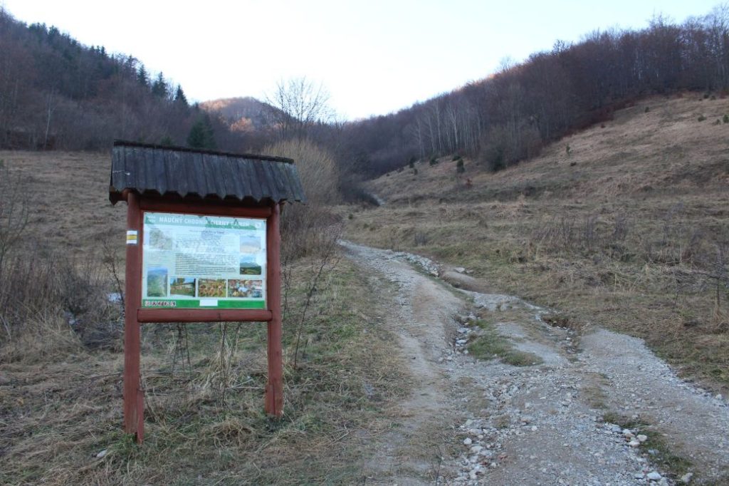
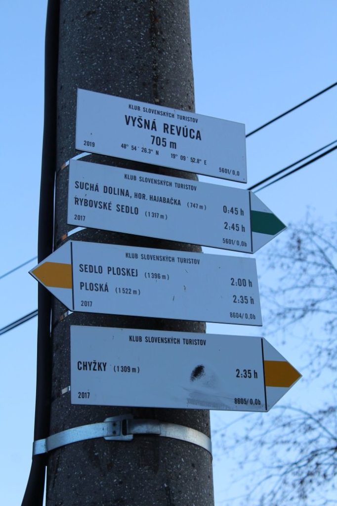
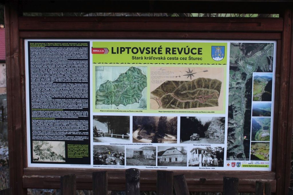
The trail begins at the periphery of the built-up area of the village, in the part of Stredná Revúca, in a small valley called Malá Turecká. There is a red-marked hiking trail running to the beginning of the route from bus stop “Lipt.Revúce,Stredná Revúca,pož.zbr.“. From the bus stop, at which you will find an educational panel about the history of Liptovské Revúce, the trail runs past a memorial to the victims of the SNU. Below the church, it turns to a side street, at the end of which it by-passes the last house from the right side. Right at the beginning, we need to mention that the route is not marked with an educational trail marking, but it runs along the existing marked hiking trails. The first educational panel informs us about the trail itself and about the Great Fatra Mountain, in which the trail is situated. The red-marked hiking trail, which leads us in the first section of the educational trail, crosses a creek, and then continues uphill by the creek, through meadows. The trail diverts slightly from the creek as it runs up the meadows, from which you immediately get views of the rock massif of Čierny Kameň. From the meadows, the trail runs down back to the creek, it crosses the creek to the other side and then continues along the creek, through a garden. After a short while, the trail departs from the creek to the right, and continues by an indistinct spring, to foothill meadows. The meadows reveal more views of the surroundings. Above the shepherd’s huts, which still serve their purpose, there is another panel, about the flora in the Great Fatra Mountain. The trail runs through alternating sections of trees and meadow peripheries to a small wooded area, where it runs sinuously with frequent left and right curves in order to overcome the steep ascent. Situated in the vicinity of the massif of Čierny Kameň is an information panel about the fauna of the Great Fatra Mountain. Through alternating sections of woodland and meadows, the trails continues to notch Sedlo pod Čiernym Kameňon, in which there is an intersection of hiking trails and an educational panel about the National Nature Reserve of Čierny Kameň. From the notch, the route continues along the green-marked hiking trail, in the direction to notch Sedlo Ploskej. The route enters the reserve and situated right at the beginning is an old wooden conduit with water flowing through it from a nearby spring. The character of the territory through which the trail runs has changed significantly, the meadows and gardens with mostly deciduous trees and bushes have been replaced with thick, mostly coniferous mountain landscape. After leaving the reserve, the route leads through mountain meadows, past another spring, to notch Sedlo Ploskej. The views have changed compared to the previous section, as now you get to see particularly the west and the south. Situated in notch Sedlo Ploskej is another intersection of hiking trails, a shelter with a sitting area and a panel about the Slovak National Uprising. From the notch, which is the highest point of the route of the educational trail, the route continues along the yellow-marked hiking trail, in the direction to Vyšná Revúca. The route runs down on mountain meadows, through alternating sections of woodland and gardens, to Magury (Vyšnie Magury), where you will find more sheep farms which are still in use. At the periphery of a foothill meadow in the vicinity of a sheep farm, you will find a panel about sheep farming. The trail changes to a field road and a wood path, which runs continuously downhill to the area of Nižnie Magury, below which there will be an information panel about the settlement of the area of Liptovské Revúce. Running more and more steeply downhill, the trail will lead us to the last panel and the end of the route. The panel situated here is almost identical to the first panel, as the route is two-directional, and so once again the panel informs us about the educational trail and about the Great Fatra Mountain, in the territory of which the trail is situated. The yellow-marked hiking trail continues to the village, to bus stop “Lipt.Revúce,Vyšná Revúca,Jednota“ situated approximately 600 metres away, at which there is a map of bike trails and an educational panel about the old royal route through Šturec.
After completing the educational trail, you can use the taverns in the vicinity of the beginning and the end of the route, or the seasonal restaurant in Vyšná Revúca. More restaurant services, or a pool complex, are situated in the closest village of Liptovská Osada, located 9 km away.
– The texts on the panels of the educational trail are in Slovak language.
– At the bus stops situated near the beginning and the end of the route, there is a map for tourists.
– In the vicinity of the bus stops situated near the beginning and the end of the route, there are grocery stores and refreshment establishments.
– In front of the house which is the closest to the beginning of the trail, there is a hikers’ map of the surroundings of Liptovské Revúce.
– You can walk the route in both directions, but we recommend that you follow the direction which is described here.
– You can walk the trail in winter as well, however, you need to take into account that it is a lot more difficult to navigate and move in the terrain covered with snow.
– The educational trail is approximately 10 km long and it takes approximately 4 to 5 hours to complete. To this time, you need to add the time needed for getting to the start of the trail and back from the end of the trail.
– There are four springs situated along the route.
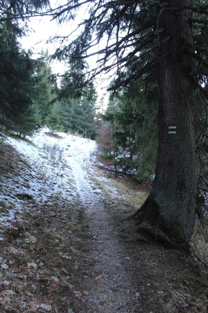
– The trail is marked at first with red hiking trail marking, later on with blue marking, and finally with yellow marking.
– The marking of the hiking trails is poorly visible at some places, so you will often need to pay increased attention and look for the marks.
– The bus stop at the end of the route and the one at the beginning of the route are approximately 2 km apart.
– Due to its length, vertical distance and terrain, the trail is not suitable for children under the age of 15.
– Next to the first panel on the trail, there is an official camp site and a well with water.
– In the vicinity of notch Sedlo Ploskej, there is a memorial to the battles of the SNU.
– At some places, the trail is often muddy and slippery, even in dry weather.
– In 2020, the trail was cleaned up and the obstacles extending onto the trail were sawn up and removed.
– The section of the route between notch Sedlo pod Čiernym Kameňom and notch Sedlo Ploskej runs through the cadastral territory of Ľubochňa.
– The trail enters the territory of the Great Fatra National Park, therefore you must observe its rules for the visitors.
– Situated near the end of the route are the ruins of a former reharness station, which was used in the transport of goods from the north to the south.
– We recommend visiting the bird garden of Miroslav Saniga in Vyšná Revúca.
Transport:
By car: There are several parking options in the vicinity of bus stop “Lipt.Revúce,Stredná Revúca,pož.zbr.“.
By bus: You can ride a bus from the bus station in Ružomberok to bus stop “Lipt.Revúce,Stredná Revúca,pož.zbr.“, from where you need to walk back a little bit along the main road and then, by the church, turn to the street on the left. The educational trail begins at the end of the last house at the periphery of a meadow. Walking to the beginning of the route takes approximately 15 minutes.
By taxi: Taxi from the centre of the town will cost you about 30€.

