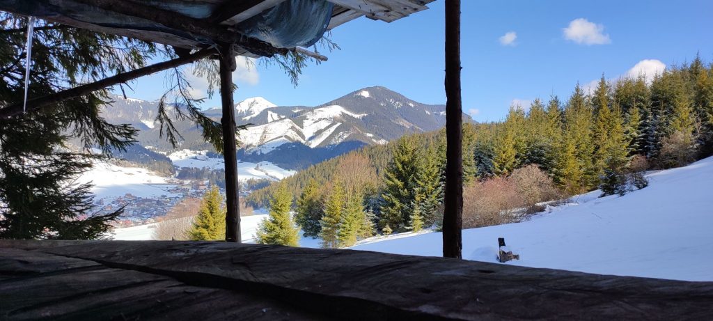
To meadows below Čierny Vrch in winter
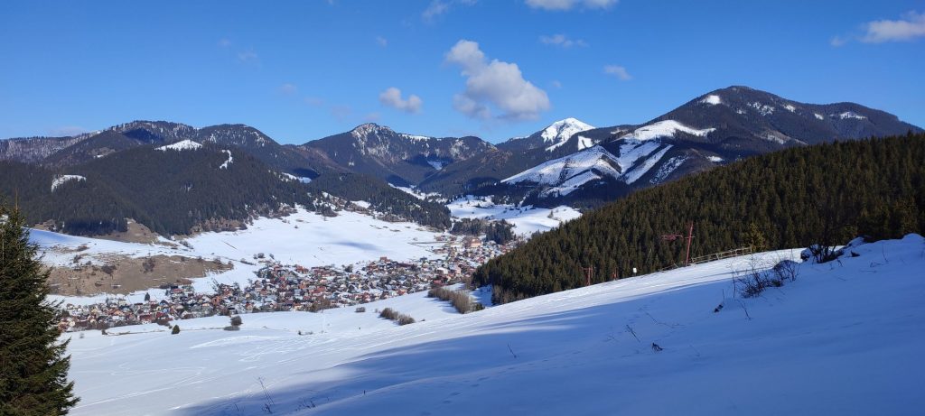
The snow-covered meadows below Čierny Vrch are easily accessible in winter, with lovely views of the surroundings of Liptovská Lúžna.
Start and destination: Liptovská Lúžna (bus stop ”Lipt.Lúžna,,u Turončíka“)
Route: 4 km (circuit)
Estimated time: 1.5 hours (circuit)
Marking: no marking
Vertical distance: 230 m
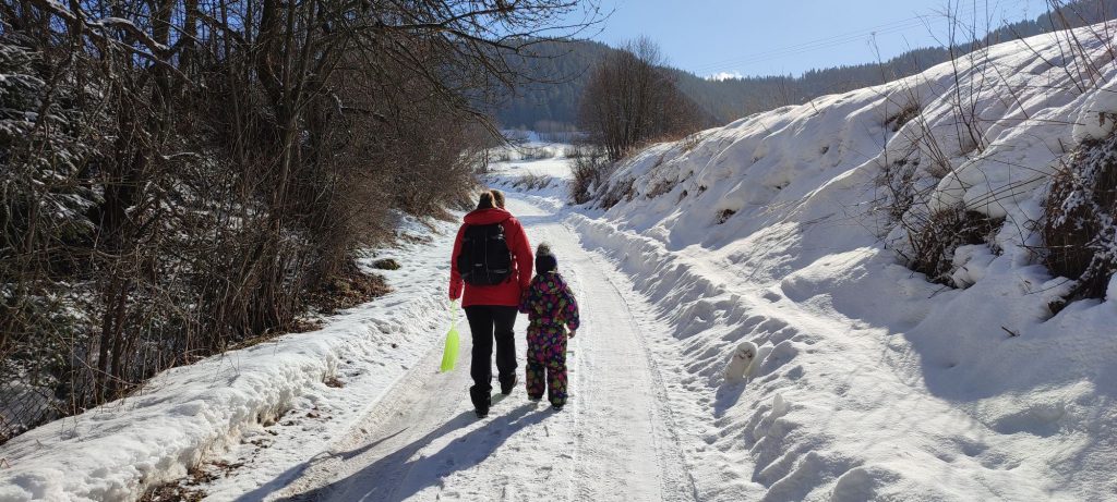
Difficulty level: Easy to medium-difficulty route. Depending on the weather and snow conditions, the difficulty level might increase. The route is short, with steep ascent to the area above the ski tow. These locations are only visited by a few users of the ski tow, which means the route is not usually trodden, which makes it more difficult. It is ideal to take the route when the snow is hard, because you will not sink into it, or when it is fresh and soft.
Safety: Almost the entire route is safe, with the exception of the steep ascent to the area above the ski tow, which involves a risk of slipping. In the initial section, the route runs on a street with traffic. Later on, you need to pay attention to the traffic of cars on the paved road running in the direction to the ski tow. The road is usually icy. In the area of the ski tow, you need to pay attention to the skiers. During the ascent to the area above the ski tow, you should stay near the wooded area, where you can hold onto the branches of the trees. If the terrain is slippery, we recommend using climbing irons or crampons. Hiking poles will also be helpful, especially when there is a lot of snow. It might be windy on the meadows. For your descent, we recommend choosing the route with mild declivity. We do not recommend descending through the areas with skiers, as there is a risk of collision.
Transport:
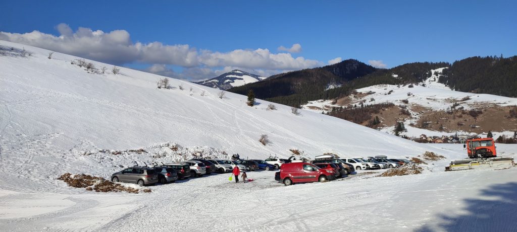
By car: Parking in the town is limited, especially in winter, when there is piled up snow everywhere, but you can always find a free space somewhere, for example, by the grocery store. A parking area is also provided by the ski tow, but only when there are skiers. However, you should keep in mind that the road to the ski tows is usually icy, and if two cars meet, it is difficult to get around one another.
By bus: From the bus station in Ružomberok to bus stop ”Lipt.Lúžna,,u Turončíka“
Route:
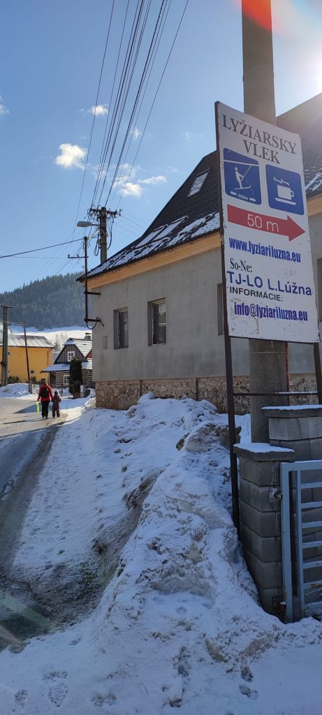
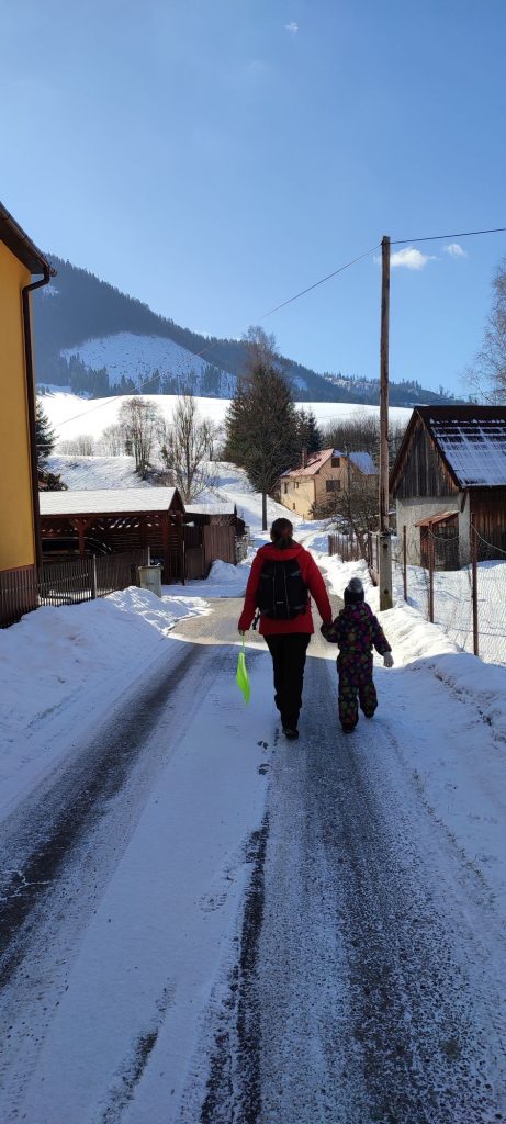
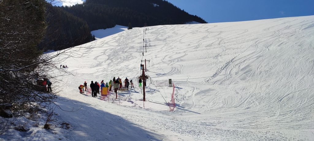
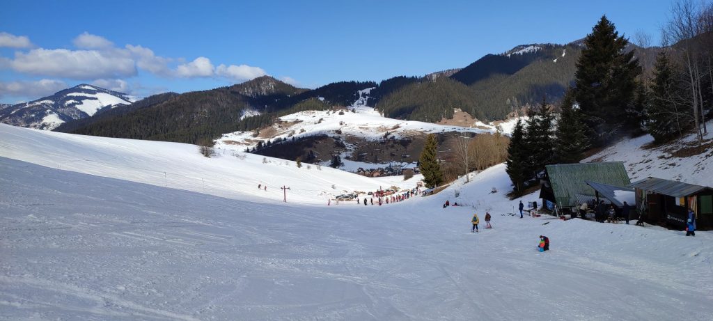
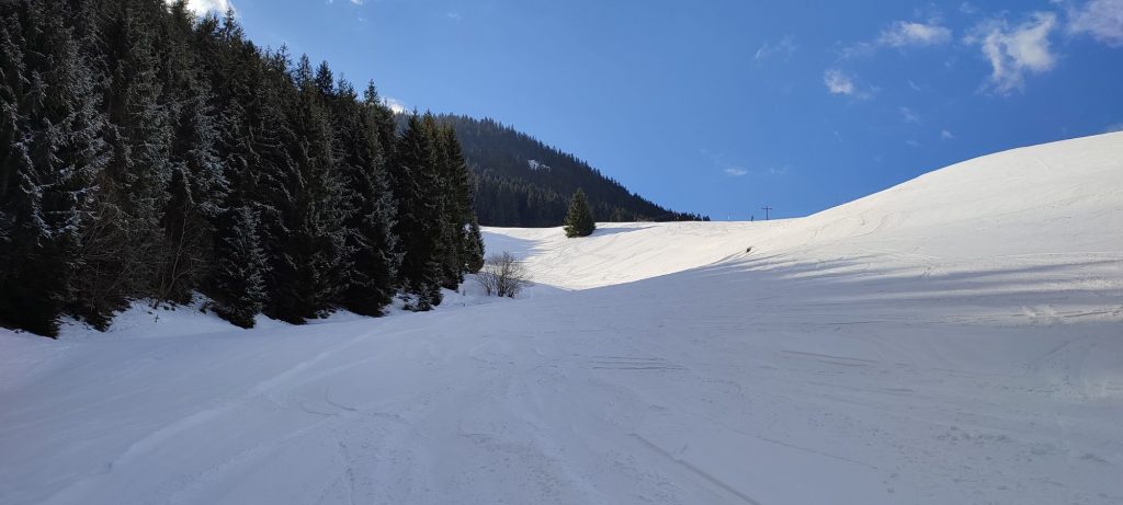
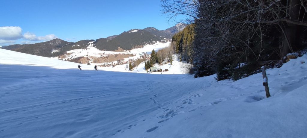
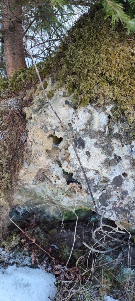
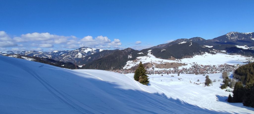
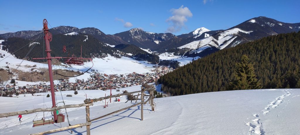
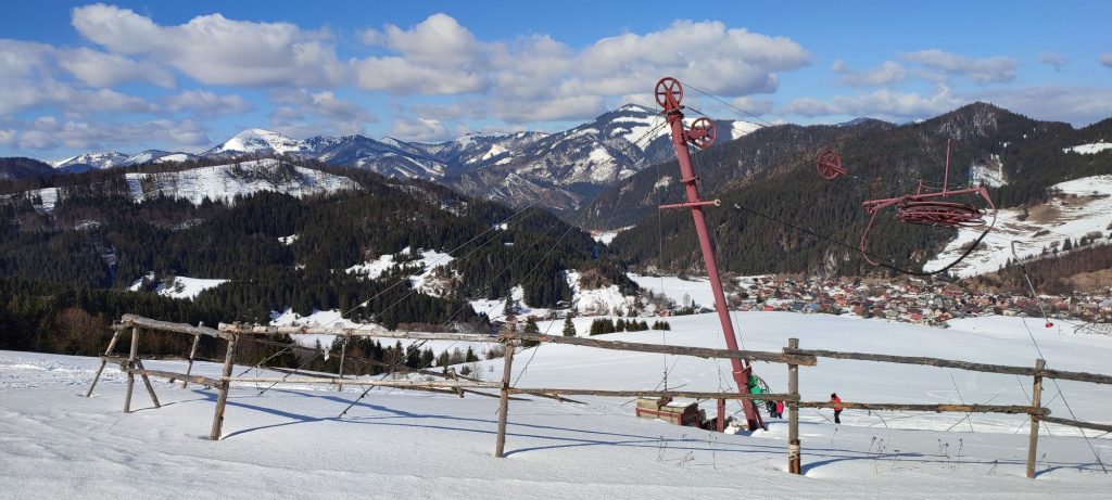
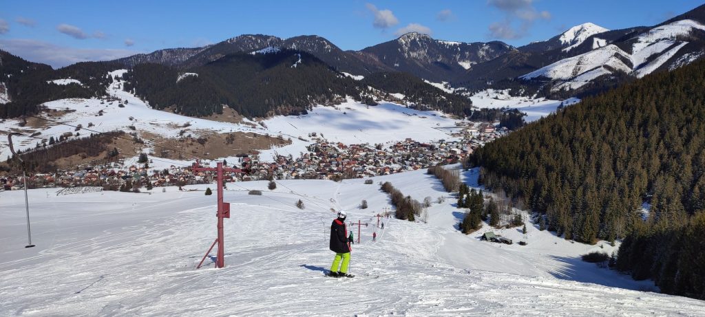
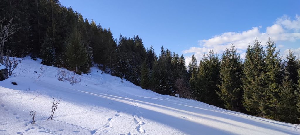
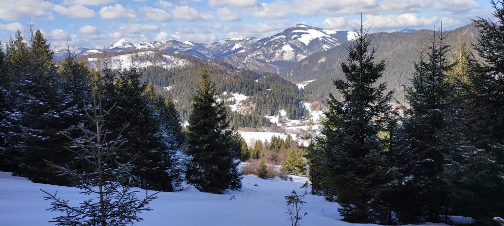
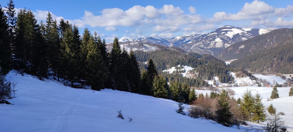
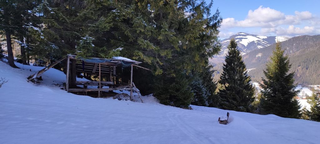
We begin the route in Liptovská Lúžna, by bus stop “Lipt.Lúžna,,u Turončíka“. We continue along the road for about a hundred metres further, where, behind a wooden hut, we turn to a street to the right. The road runs through a creek, after which it passes in between the houses and curves to the left. Behind the houses, it arrives at meadows and runs towards a wooded area. The valley we pass through is called Jančišova Valley and it reveals a view of the hills surrounding Liptovská Lúžna, such as Salatín, Magura, or, located a bit farther, Rakytov. In the vicinity of the wooded area, we come to a ski tow, which is usually in operation during the weekends, if there is enough natural snow. We continue further, passing by the buildings which include a refreshment stand and an open-air sitting area. We continue towards the wooded area and at its periphery, we go to the right. At first, we can stay a bit farther from the woods and the ascent is not steep. At the periphery of the woods, we might notice a small wooden cross, if it is not covered with snow. A bit farther uphill, we noticed a rock at the periphery of the woods. When we looked more closely, we found out it was made of travertine. The presence of mineral springs in this area gives a clue as to why something like this can be found here. We continue along the periphery of the woods to a place where the ascent becomes somewhat steeper. Here, we need to make a decision based on what the conditions are, whether it is slippery, whether we have crampons, etc. We can choose to continue slightly to the right, directly to the end of the ski tow, where, however, we must face the risk of slipping in the steep terrain as well as the danger of skiers passing through, or we can choose to continue along the periphery of the woods, where we can hold onto the branches of the trees and walk up to more level terrain above the ski tow. We recommend staying at the periphery of the woods, which is the safer option. We arrive at the area above the ski tow, and we walk down to the ski tow, mildly downhill on a meadow. By the ski tow, we get new views and the perspective is a bit more interesting as well. In addition to Rakytov in the Great Fatra Mountain, we can also see Smrekovica, as well as many other peaks in the ridge, such as Čierny Kameň, Skalná Alpa or Šiprúň. In the improved view of the town, we can now also see Tlstá, which looks taller than Salatín, but it is not so. From the tow, we can make a short detour to a shelter with a sitting area. In order to find it, we turn our back to the tow and on our right, we will see a sloping road running into the woods. We follow the road, but before it enters the woods, we walk into a gap among the trees in the direction to the right and downhill, and after a few dozen metres, we will see the shelter on the right, under trees. Here, we can take a short break and have some of the snacks we have brought with us. To return, we walk directly down the slope from the shelter, in the direction towards the town, or we go back to the ski tow and also walk directly downhill towards the town, on snow-covered meadows, while trying to avoid the areas with skiers in order to prevent a collision with someone on our way down.
Notes:
– In the vicinity of the beginning / end of the route, there is a refreshment establishment and a grocery store.
– When there are skiers, there is usually a refreshment stand open by the ski tow.
– The route is also suitable for ski mountaineers.
– There is a viewpoint tower at the end of the town, where you get a view of the natural monument of Meandre Lúžňanky.
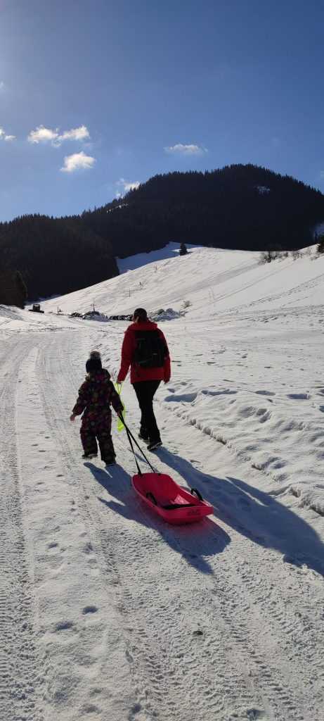
– The route is also suitable for older kids, but in the steep uphill section, you should watch them carefully and hold them by the hand.
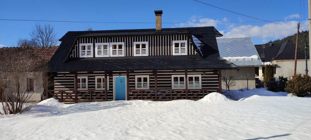
– There are several accommodation options available in the town.

