To Brankovský Waterfall
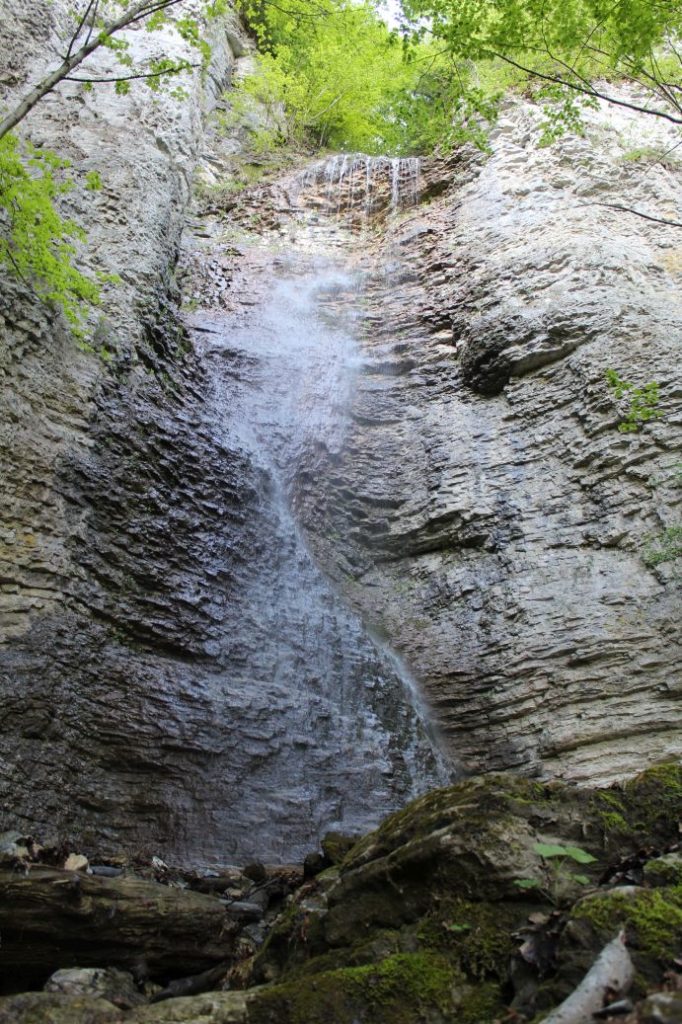
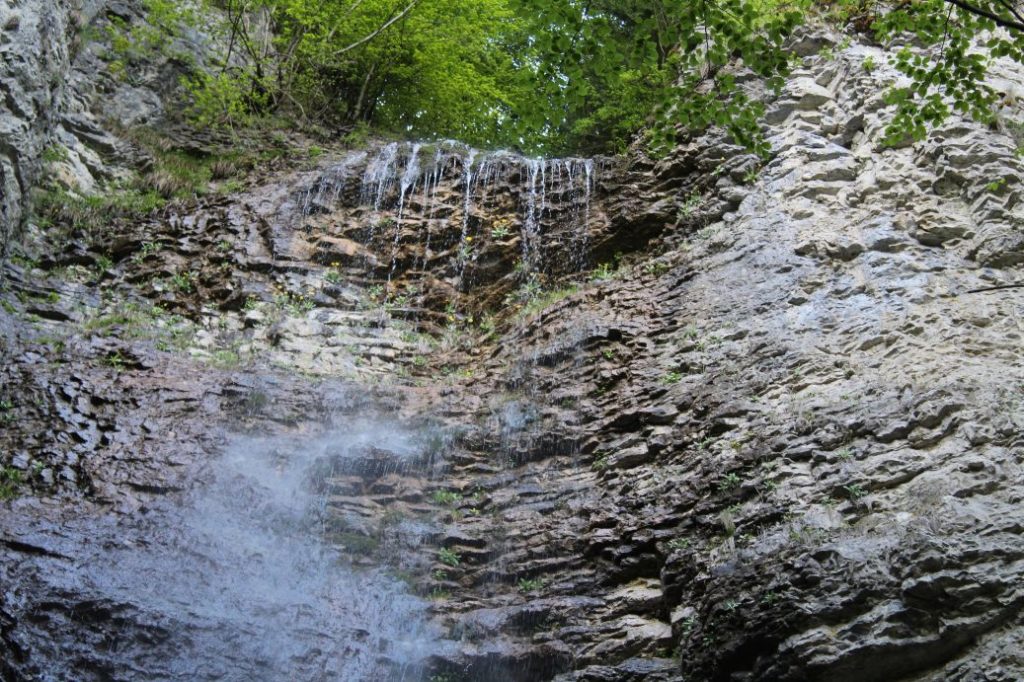
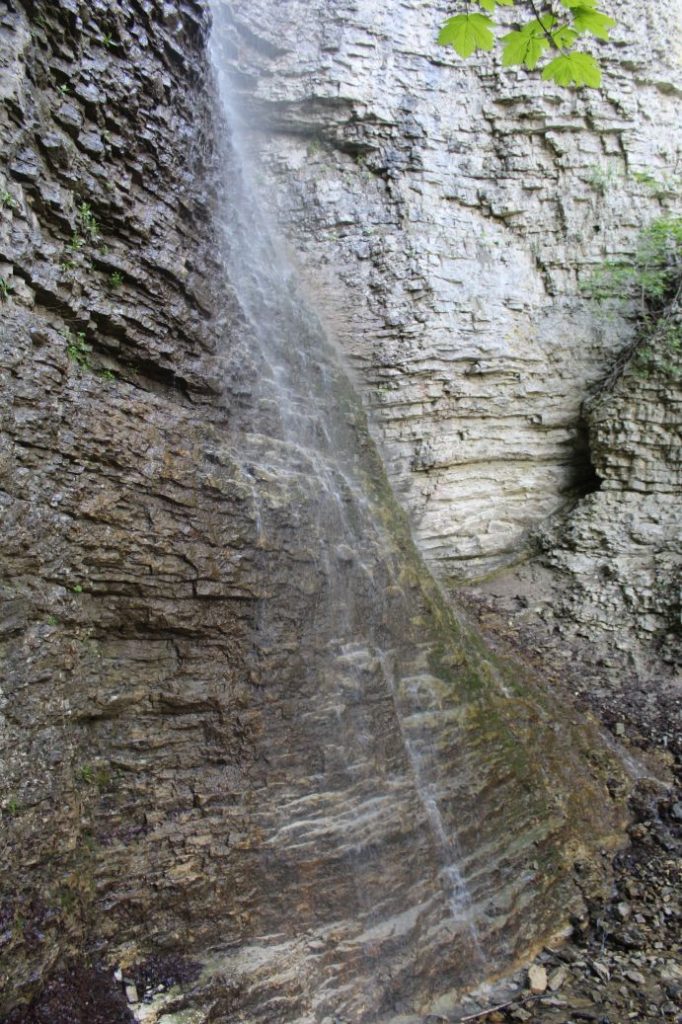
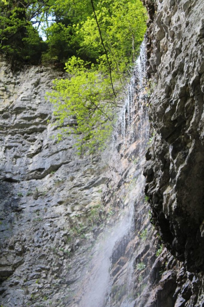
Brankovský Waterfall is one of the favourite locations, especially for visitors with kids and for pensioners. The trip to the waterfall, which is not long but it is a little more demanding, will reward you with a view of a rocky cliff with the waterfall, the highest one in the Low Tatras.
Start and destination: Podsuchá (part of Ružomberok) (bus stop ”Biely Potok/Ružomberok,Podsuchá“)
Route: 4 km (in total, there and back)
Estimated time: 1.5 hours (in total, to the waterfall and back)
Marking: green hiking trail, no marking, back along the same route
Vertical distance: 230 m
Difficulty level: Non-demanding route. A mildly rising path with moderately demanding access to the waterfall location.
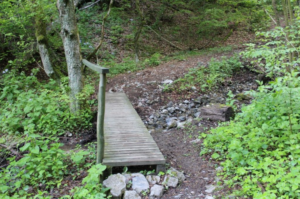
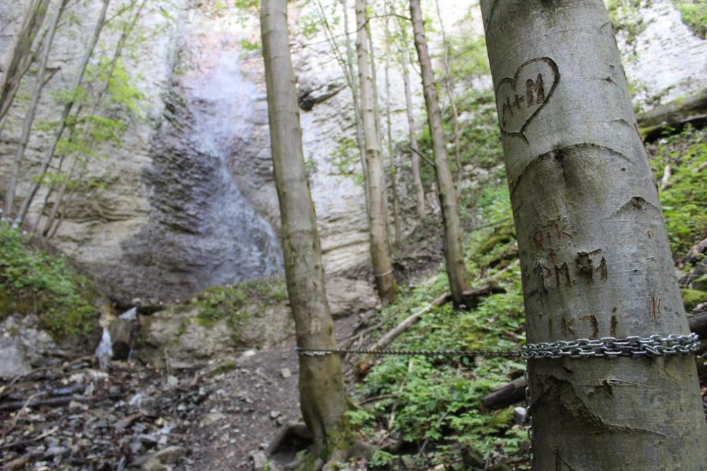
Safety: At the beginning, you need to cross a road bridge on a first-class road, which has heavy traffic and there is no side walk for pedestrians at the bridge. After that, you walk on a paved road, which is often used by cyclists, and running on which is a favourite bike trail called Cyklokorytnička. The road through the valley to the waterfall is usually muddy, and the final climb to the waterfall is rocky and slippery. The last few metres of the climb to the waterfall are secured with a steel chain. To cross the creek, you can use wooden bridges. In winter, the access to the waterfall (icefall) is a little bit more difficult, depending on the snow level. In winter, there is also a possibility of pieces of ice or snow falling from the rocky cliff.
Transport:
By car: Parking at toll free parking areas next to the main road, by the bus stop.
By bus: From the bus station to bus stop “Biely Potok/Ružomberok,Podsuchá“
Route:
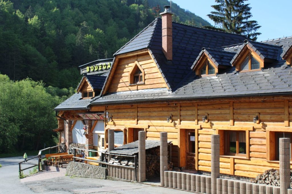
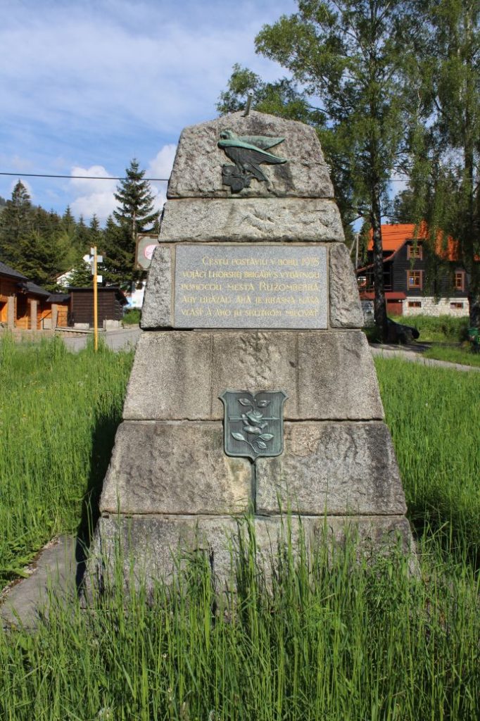
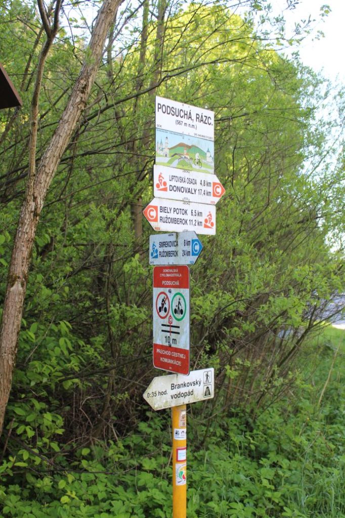
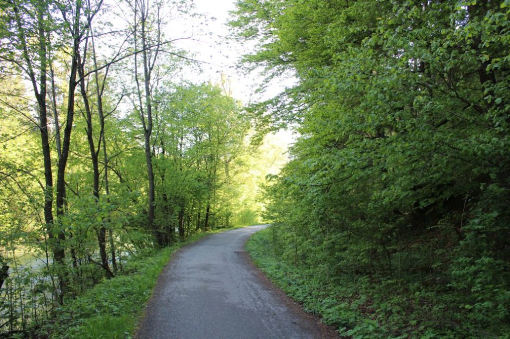
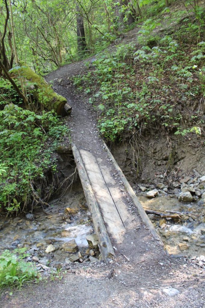
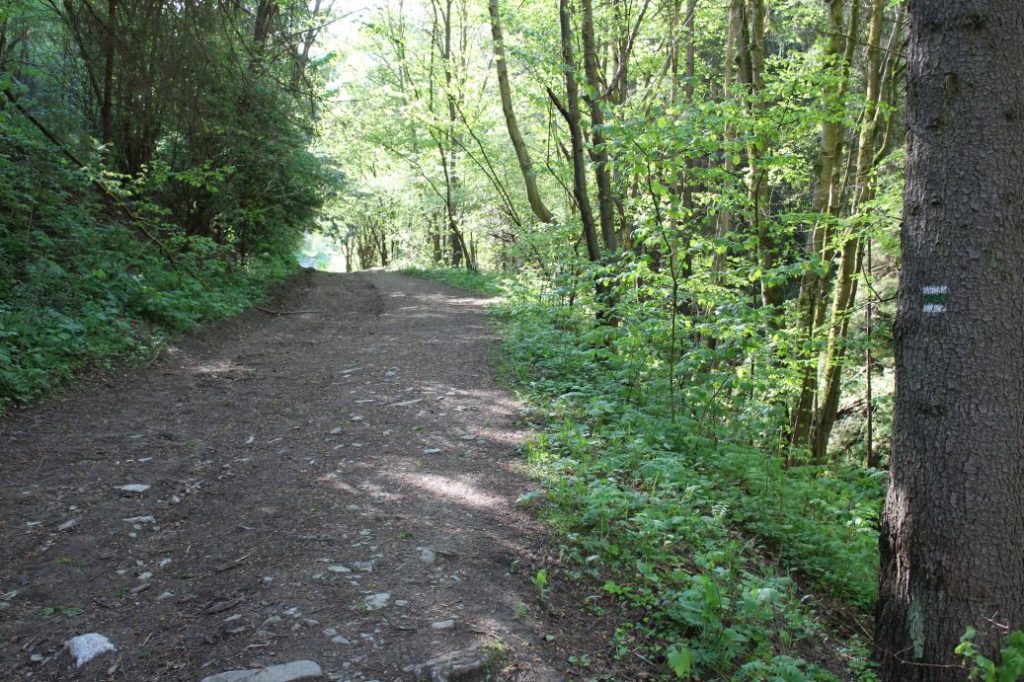
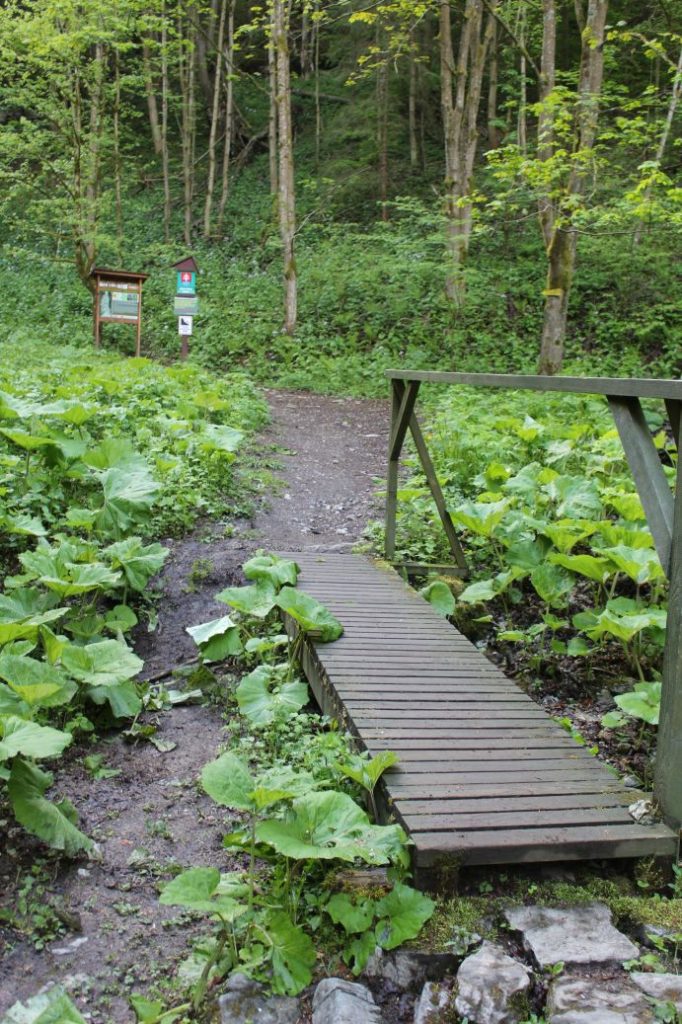
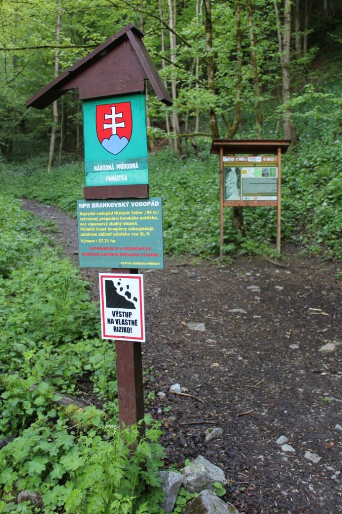
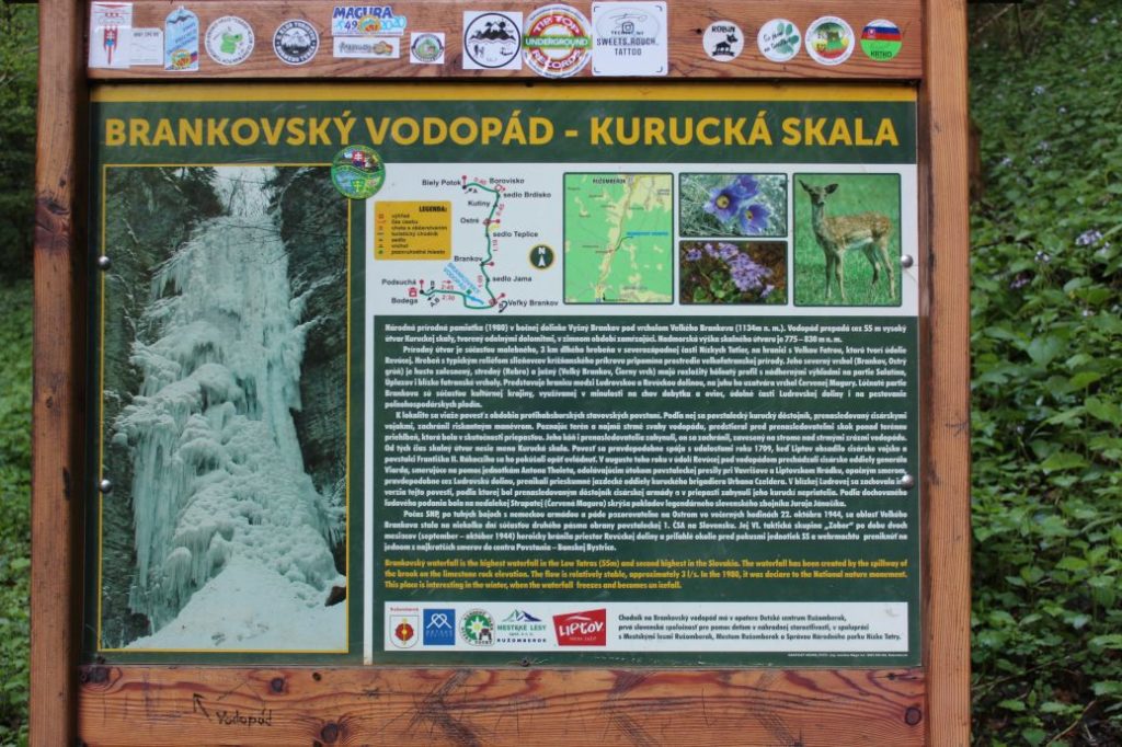
The route begins in Ružomberok’s village of Podsuchá, to which we can get comfortably by bus or with our own car. From the bus stop / parking lot, we go to the local restaurant (shepherd’s hut), where the marking for hikers begins. We follow the green-marked trail, which leads us past the memorial to the builders of the road to Smrekovica, to the main road. We use the pedestrian crossing to cross the street. Then we cross the road bridge over the Revúca river. Pay increased attention here, as there is no side walk for pedestrians on the bridge and you have to walk on the side of the road. After crossing the bridge, we go left, along the road with a thematic bike trail called Cyklokorytnička. We continue by the Revúca river, which itself is a protected natural object with river habitat containing rare flora and fauna, such as European otter. The trail leads us past a camping site with a wooden building, which has a painting of Brankovsky Waterfall on the wall, which has remained here after a scout camp. We continue past a small valley turning to the right to another small valley, which is also turning to the right, and we turn into this valley and cross the wooden bridge over the creek. After crossing the creek, we climb a few-metre-long steep section and we get onto a sloping road. In addition to the hiking trail marking, the turn is also marked with yellow arrows which say “vodopád” (waterfall). If you miss the turn, there is an educational panel for Cyklokorytnička trail a few metres after the turn, from which you can turn to the waterfall as well. The sloping road leads us along the side of the creek, on mildly rising terrain, to the border of the Low Tatras National Park, about which we are informed by the panel we pass by on the way. The sloping road gradually changes into a trail, and the surface we are walking on also changes and becomes rocky. At the place where we are crossing the bridge over the creek, we will notice the educational panel about Brankovský Waterfall. At this place, we get off the marked trail, which will turn away from the access valley, to the right. We continue further ahead past the educational panel, in the direction of the valley through which we have got here. The terrain of the no-longer-marked path is rocky, and in high humidity it becomes rather slippery. The section from the educational panel to the waterfall is approximately 300 metres long, but a bit more steeply uphill. A few metres away from the waterfall, the steepest uphill section of the path is secured with an iron chain, which we can use for support on our way up and particularly on our way back down. The waterfall falling from the rocky cliff (Kurucká Skala) does not have a large flow rate, but it is the highest waterfall in the Low Tatras. The water falling from the height of 55 metres creates a lovely dewy shade, especially in the hot summer months. The waterfall is popular in winter as well, as the rocky cliff on which the water runs down, freezes into ice formations, creating a beautiful icefall. We use the same route to get back.
Notes:
– There is a restaurant at the beginning of the route.
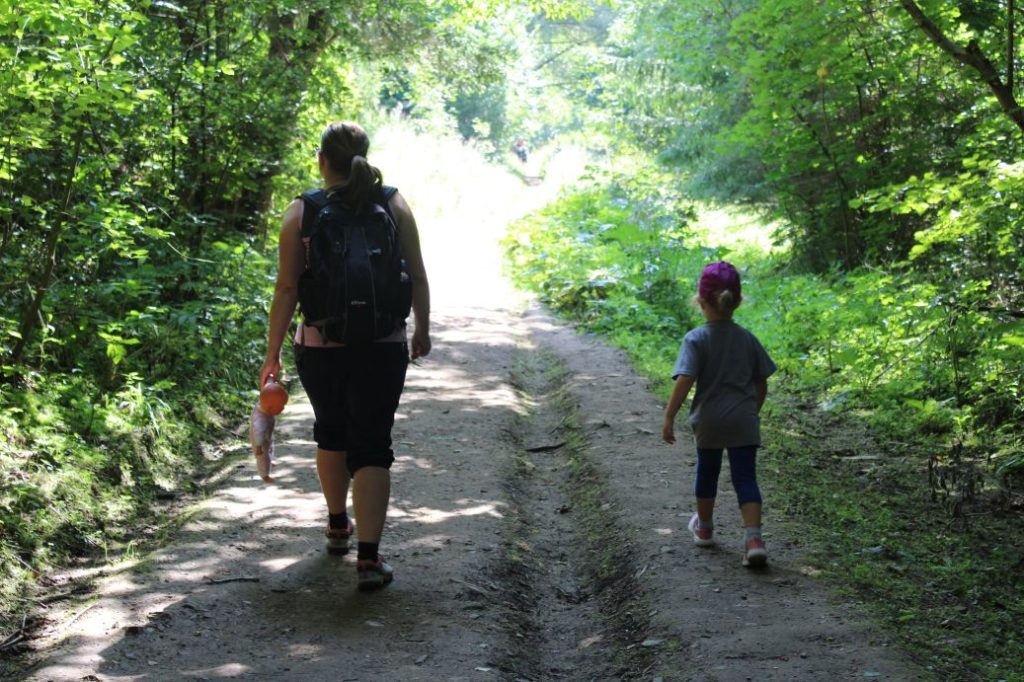
– The route is suitable for visitors of all age categories, but you should hold your younger kids by the hand in the section of the last 300 metres.
– The surrounding area of the waterfall is a National Natural Monument.
– There are springs in the vicinity of the route, but they are not altered for drinking, therefore you should bring your own water supply.
– The territory in the surroundings of the waterfall belongs under protected territories of European significance.
– For the collectors, there is a wooden tourist stamp, a sticker for the tourist diary or a magnet of Brankovský Waterfall, which are available at the Ružomberok Information Centre at Antona Bernoláka Street no. 1 in Ružomberok.

