Kalameny - Liptov Castle
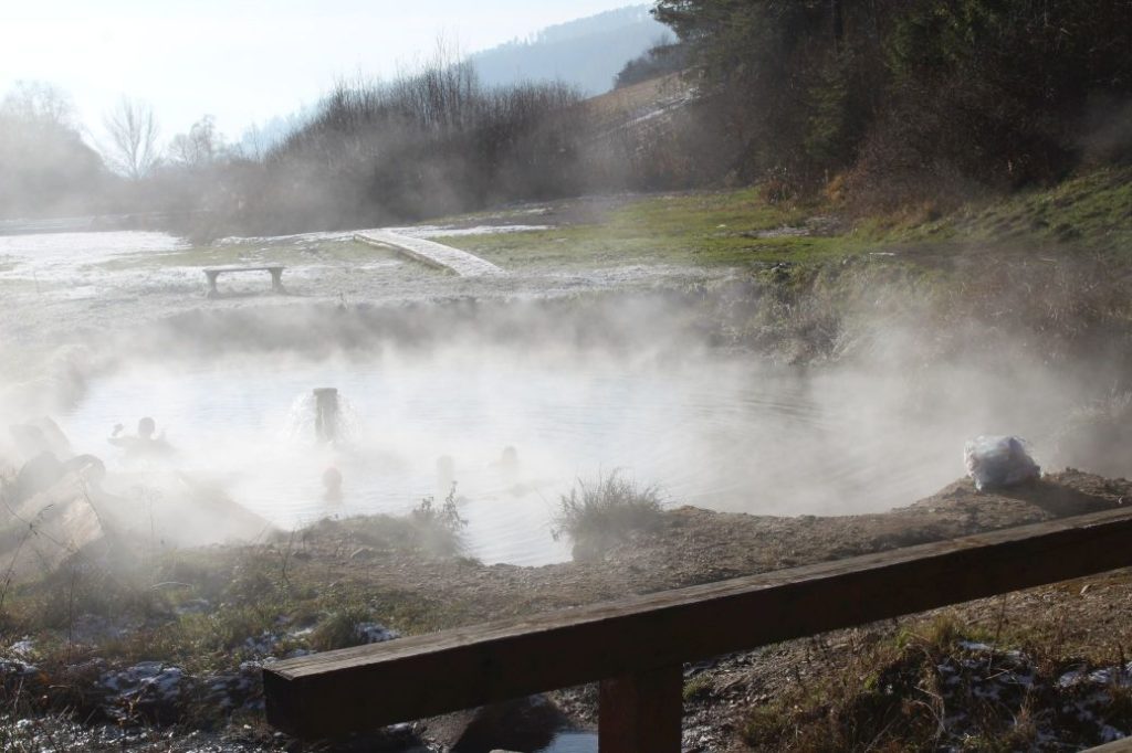
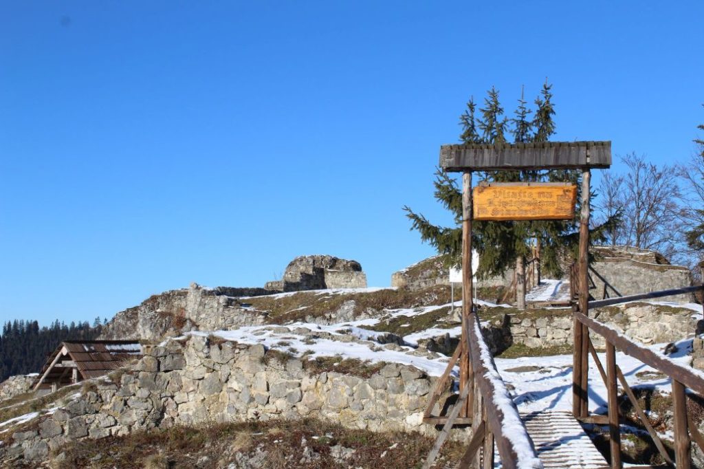
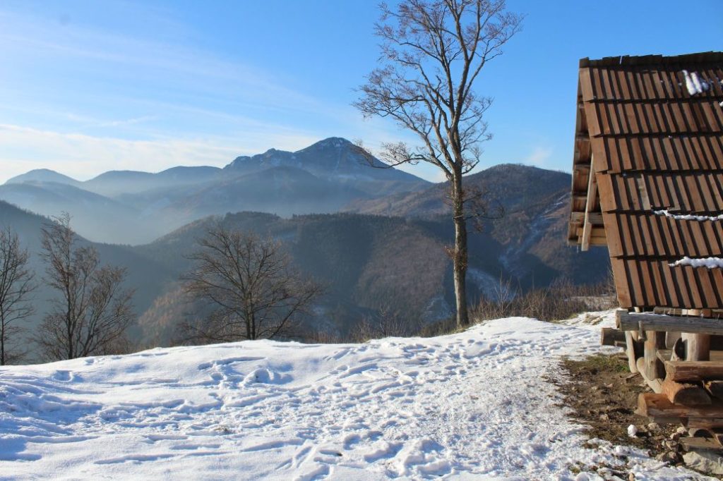
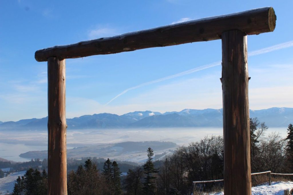
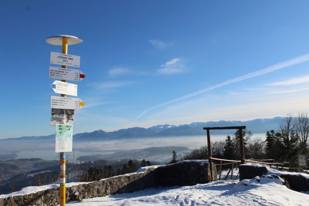
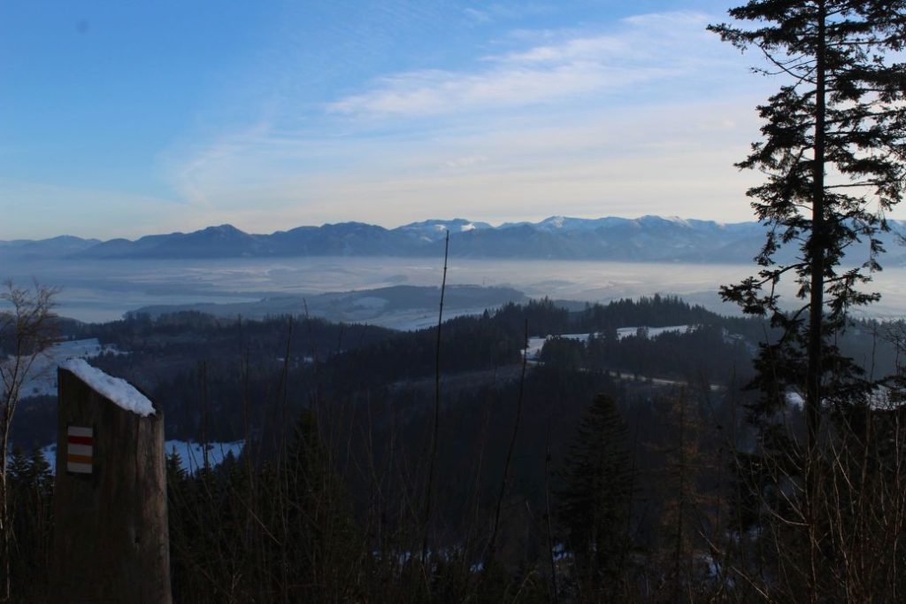
The trail runs from the centre of Kalameny to the mouth of the Kalamenská Valley, in which there is a pond with warm mineral water. It continues to notch Sedlo pod Kráľovou and then to the peak of Sestrč hill. Situated on the platform at the peak are preserved ruins of the Liptov Castle, from which you can get beautiful views of the Liptov Basin and the surrounding mountains.
Number of the route: 8610
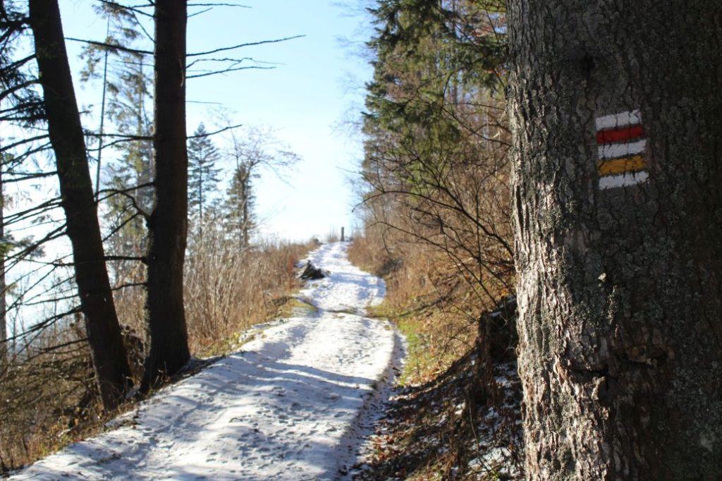
Colour: Yellow
Length of the route: 3.7 km
Vertical distance: Ascent: approx. 425 m / Descent: 5 m
Time of completion: 1:25 hours
Reference points for orientation:
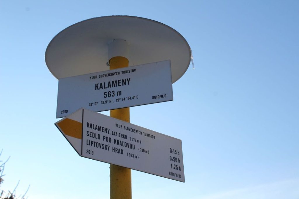
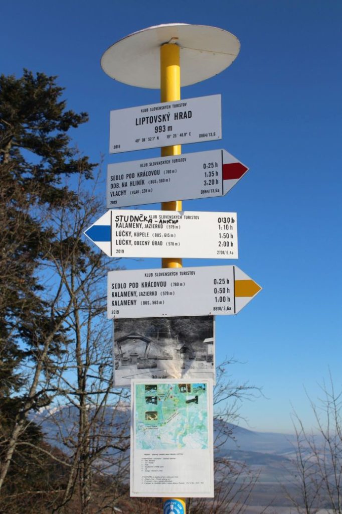
1. Kalameny 563 m
2. Kalameny, pond 579 m
3. Sedlo pod Kráľovou (notch) 780 m
4. Liptov Castle 993 m
Route description:
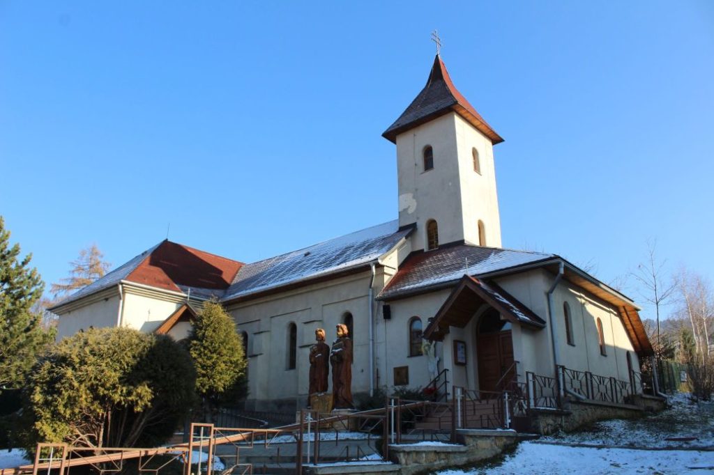
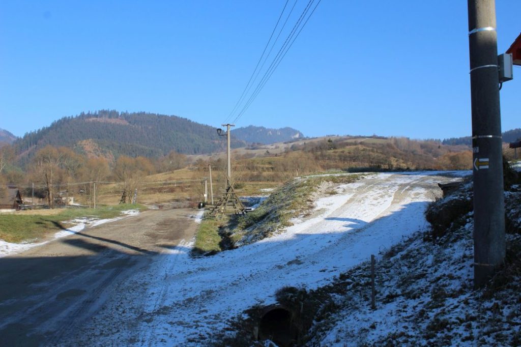
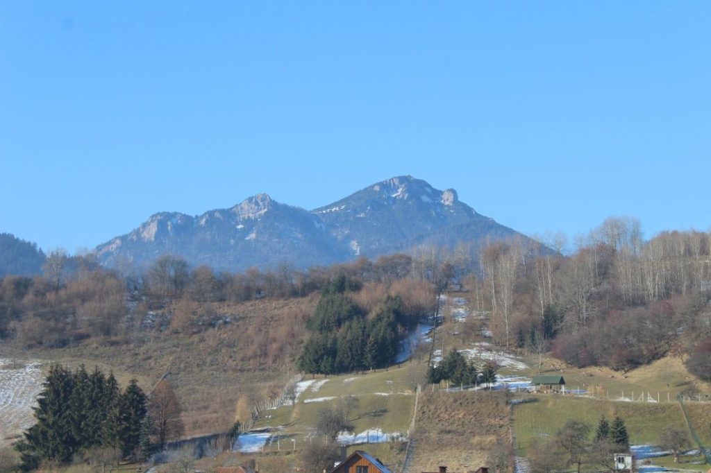
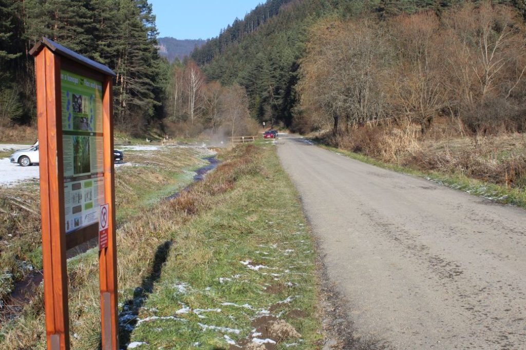
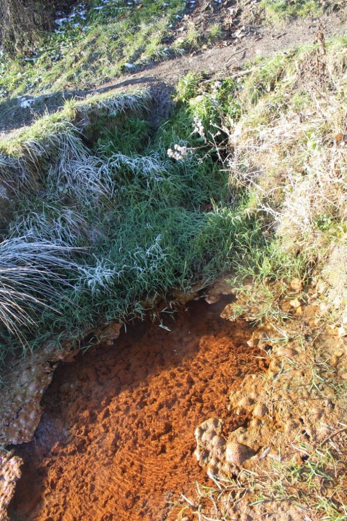
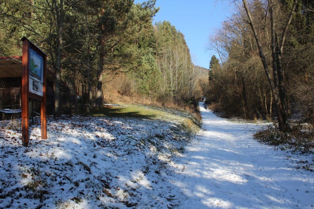
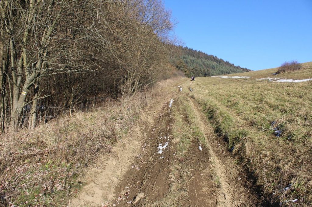
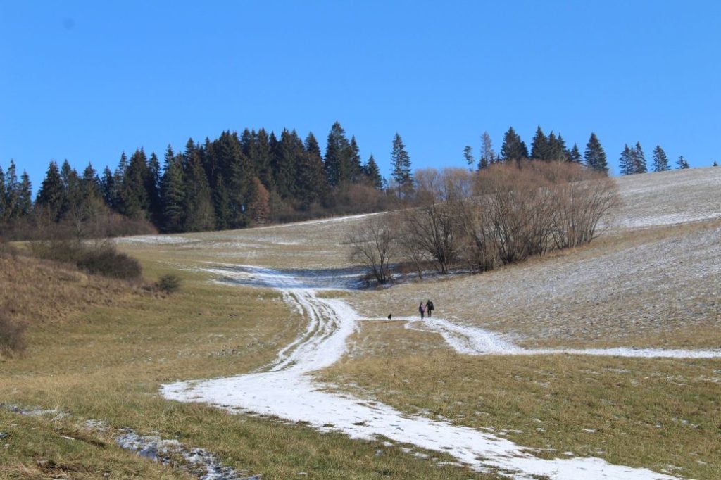
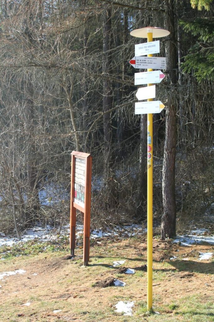
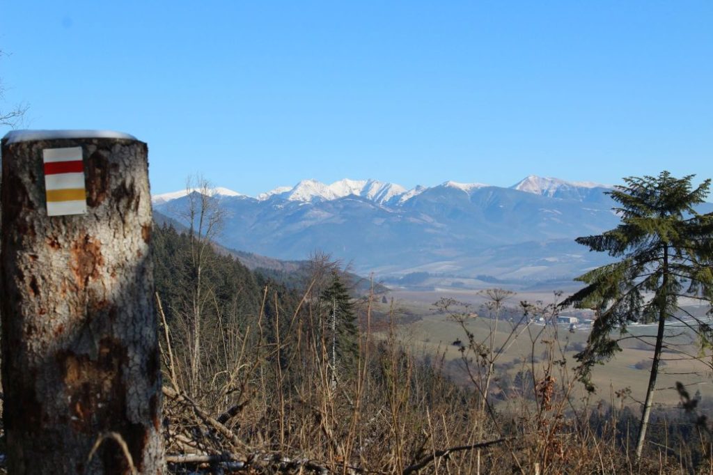
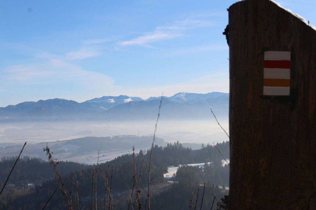
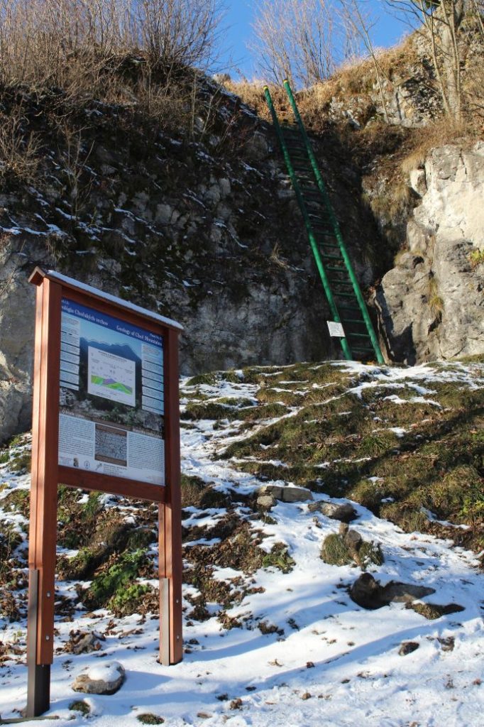
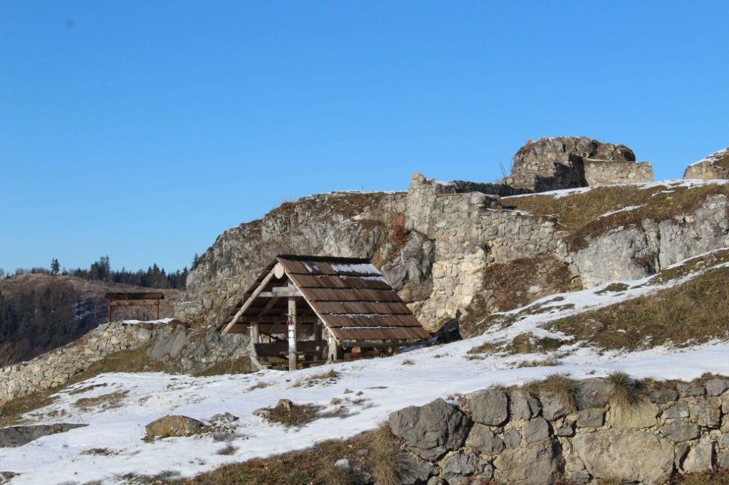
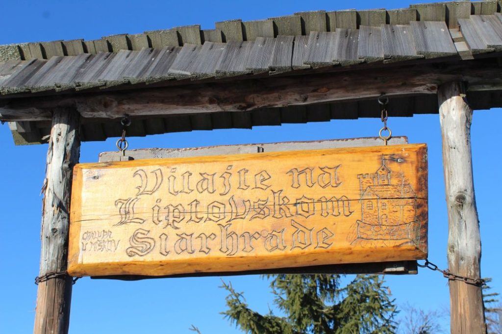
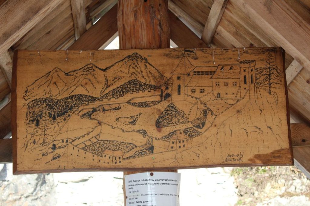
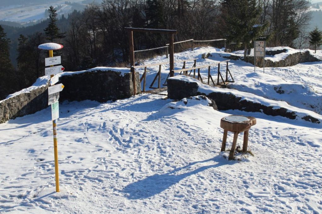
The route begins by the hiking signpost in the centre of Kalameny, by the Church of St. Peter and Paul, and continues mildly uphill, past the stone cellars built into the slope by the road. It passes by the cemetery, above the soccer field, and continues towards the valley. On the left side, on the hill above the houses, you might notice an animal pen with roe deer. At the mouth of the valley, the route passes by a ski tow, behind which you will find a pond with hot mineral water. Visitors use it for bathing all year round. Right behind the pond, there is a mineral spring and a spring, both are unaltered and not in use. At this place, a blue-marked hiking trail is crossing the route. The route continues to the right (not to the valley) on a path running through trees and bushes. It arrives at a meadow, where the marking of the route starts to disappear. However, you simply need to stay at the periphery of the woods and continue uphill to the top of the meadow, to notch Sedlo pod Kráľovou. The section leading to the notch reveals views, at first of the village of Kalameny and later of the ridge of the Low Tatras and a part of the Great Fatra. In the notch, a red-marked hiking trail joins our route and we get a new view, of the West Tatras, through the trees. The wood path continues a bit more steeply uphill into the woods, all the way to the place where the uphill section ends. At this place, you need to exit the wood path and continue on a less distinct path in the direction to the right. The path passes by a collapsed cabin (Chata Kata) and continues to a sharp left-hand curve, which reveals more views. The ascent becomes less steep, and through an S-curve, the path by-passes the summits of Sestrč hill. The path arrives at the castle cliff and ends here. The route continues further to the castle cliff and to the Liptov Castle situated on the cliff. In order to climb to the castle cliff, you need to use a metal ladder with length of approximately five metres. The ladder is slippery and movement on it is dangerous, therefore all children under the age of 15 should only use it under the supervision of their parents. The route ends at the site of the castle, by the hiking signpost. Situated at the castle is a shelter with a wood carving of the castle, a hikers’ book and a game of “Ludo”. There is a stainless-steel viewpoint compass rose you can use for better orientation. A more attentive visitor may also notice a small commemorative plaque dedicated to PhDr. Václav Hanuliak, the leader of the archaeological research of the Liptov Castle in years 1976 to 1983. The views from the castle itself include the West Tatras, the Liptov Basin, the ridge of the Low Tatras, a part of the Great Fatra and the dominant peak of Great Choč.
Safety:
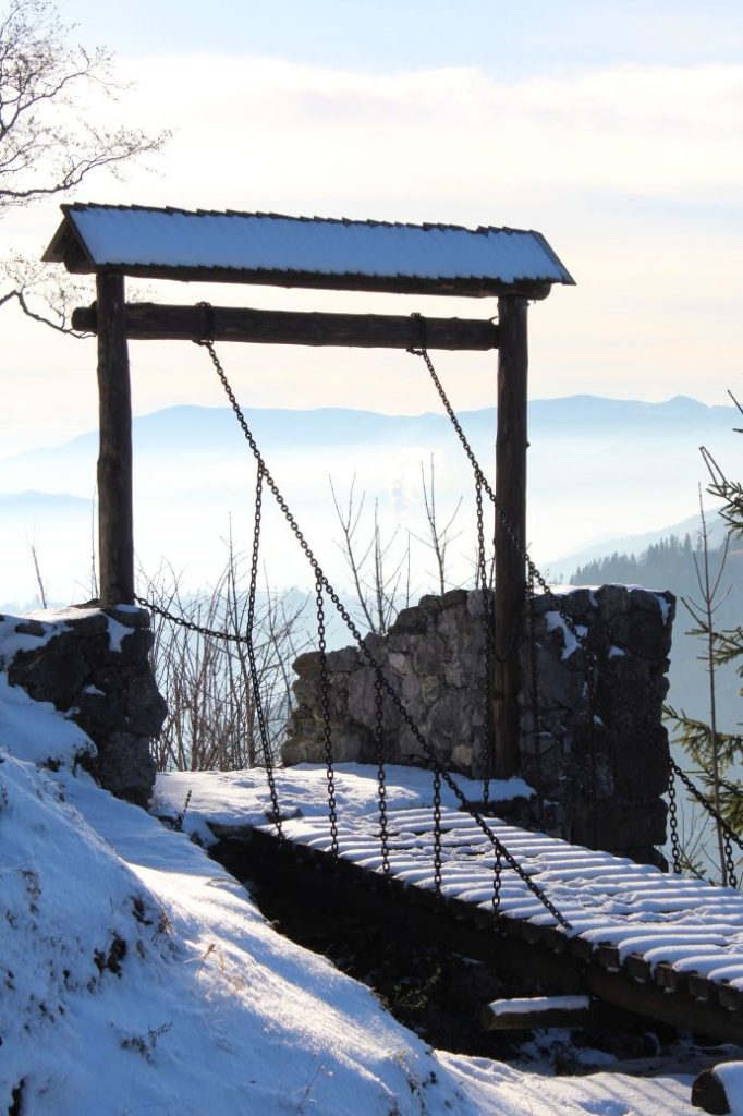
The majority of the route runs on safe terrain, mostly on wood paths and field paths. In the event of damp surface, the terrain is slippery and muddy. The most dangerous section on the route is the ascent to the castle, at the place where you need to climb the metal ladder. Children under the age of 15 should not enter the ladder without supervision, and younger children should not enter without assistance from their parents. At the castle, there are wooden bridges over the ditches, which may be slippery (you can avoid them). As the castle is located on the top of a cliff, you also need to be careful when moving at the peripheral areas. Children should not move at the castle site without supervision of their parents.
Marking on the route:
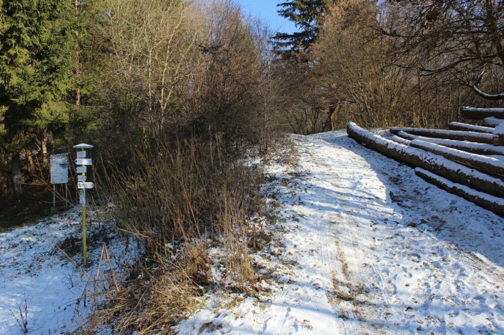
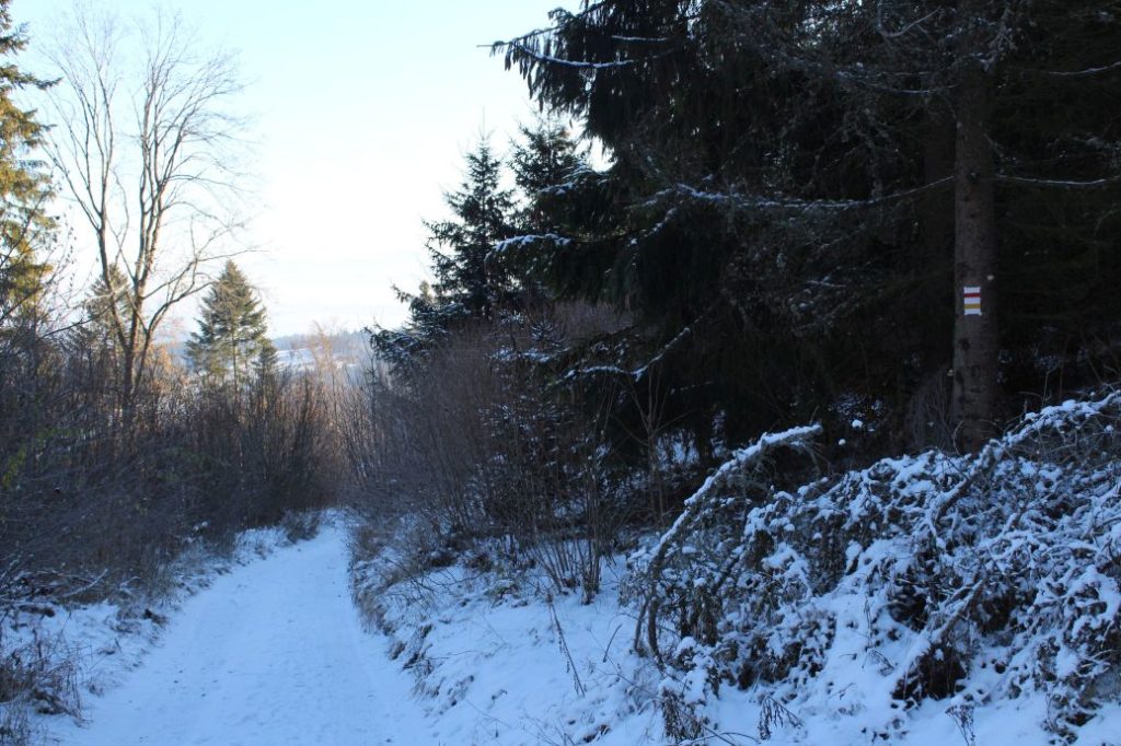
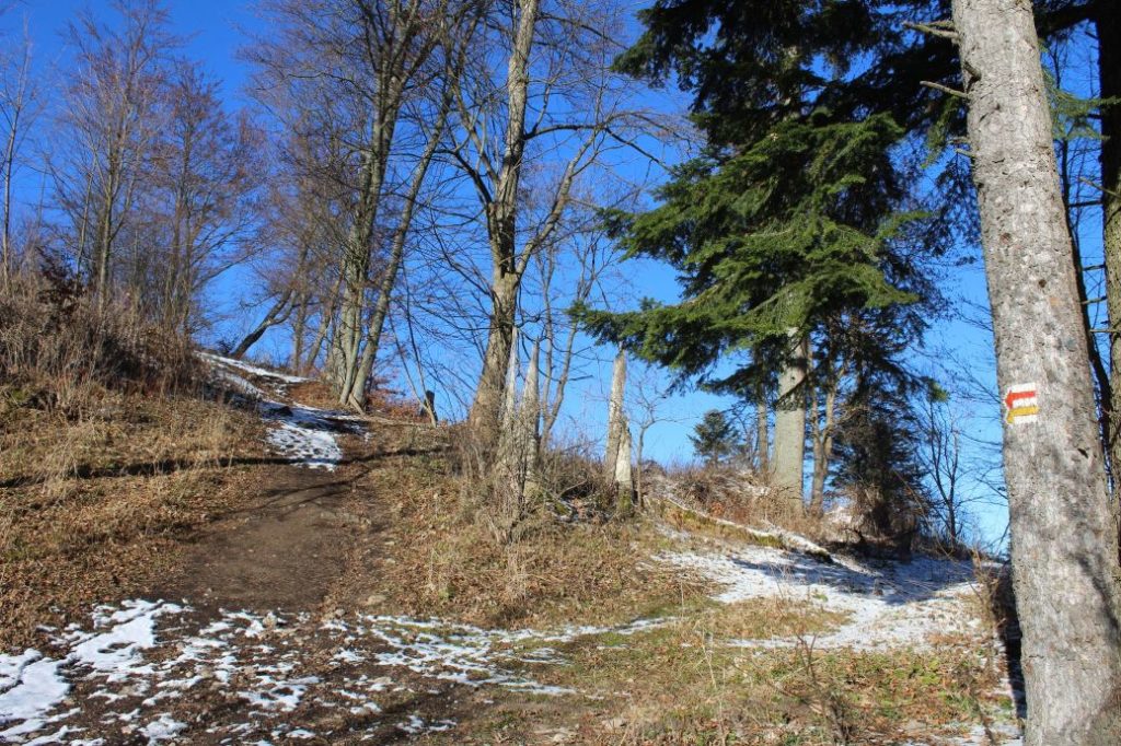
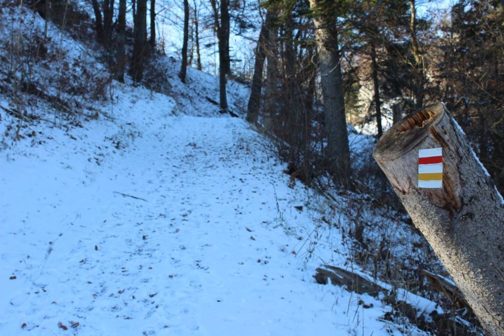
The marking on the route is sufficient, except for one section. There are places where the marks are poorly visible, especially in summer and spring, when there is grass and there are leaves on the trees and bushes. In the section of Kalameny, pond – notch Sedlo pod Kráľovou, the marking is less satisfactory, as the route runs on a meadow along the periphery of a wooded area, where there are bushes, on which you cannot put marking. However, you simply need to stay close to the periphery of the woods and continue uphill all the way to the notch.
Notes:
– The route was altered in 2019. Originally, it was a circuit with a descent through the Kalamenská Valley. The descent route was changed to the blue-marked hiking trail, which was extended from the mouth of the Kalamenská Valley to the village of Lúčky.
– The trail is used all year round.
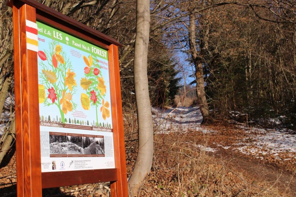
– There is an educational trail running simultaneously with the route, with texts in Slovak and English.
– The route is suitable for visitors from the age of 10, but children under the age of 15 should not enter the castle without supervision of their parents. It is also suitable for beginners.
– Walking the route back (descent) takes approximately 1:00 hour.
– At the beginning of the route, there is a grocery store, a refreshment establishment and a parking lot.
– The Liptov Castle is also called Sielnica Castle, Liptov Old Castle or Castle Liptov.
The route was reviewed in December 2020.

