Through Nižné Matejkovo to Šiprúň
A moderately demanding route through the valley of Nižné Matejkovo, with a steep climb to notch Šiprúnske Sedlo and along a partial-viewpoint ridge to peak Šiprúň, is suitable for those who like quiet and peaceful places with no people.
Start and destination: Podsuchá (part of Ružomberok) (bus stop ”Biely Potok/Ružomberok,Podsuchá“)
Route: 18.0 km (in total, there and back)
Estimated time: 6.0 hours (in total, to the peak and back)
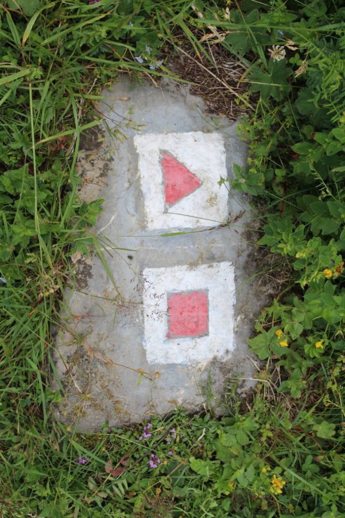
Marking: Red hiking trail mark.
Vertical distance: 900 m
Difficulty level: The section through the valley is non-demanding. The route becomes more demanding when we leave the asphalt road to continue on a washed-out wood path and then along the side of the creek or in the creek bed. We continue on meadows, to thick woodland, which is the most difficult section. The route in the woods is steep, slippery and difficult to navigate due to fallen trees and growth-covered trail. The rest of the route to the peak is non-demanding. The most difficult part of the route is the descent through the above-mentioned steep section.
Safety: The initial section of the route through the moor is usually damp and slippery. The wood path section at the end of the valley and the section in the creek bed are slippery. The meadow section is usually covered with grass, which makes it difficult to see where you are stepping. The steepest uphill section in the woods, especially on the way down, runs on waterlogged terrain, which is slippery. Avoiding or climbing over fallen trees is not difficult, but the terrain is not trodden and it is slippery. You need to pay increased attention, especially during the descent. The route is not suitable for small kids, particularly due to difficult terrain in the woods and the length of the route. Kids from the age of 10 should be able to complete the route with the help of their parents. The route is also not suitable for pensioners with reduced mobility. Due to the fact that the route is less frequented by people, there is a risk of encounters with woodland animals.
Transport:
By car: Parking at toll free parking areas next to the main road, by the bus stop.
By bus: From the bus station to bus stop “Biely Potok/Ružomberok,Podsuchá“
Route:
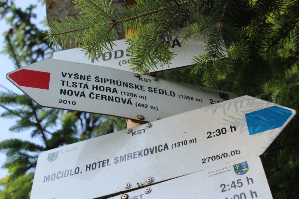
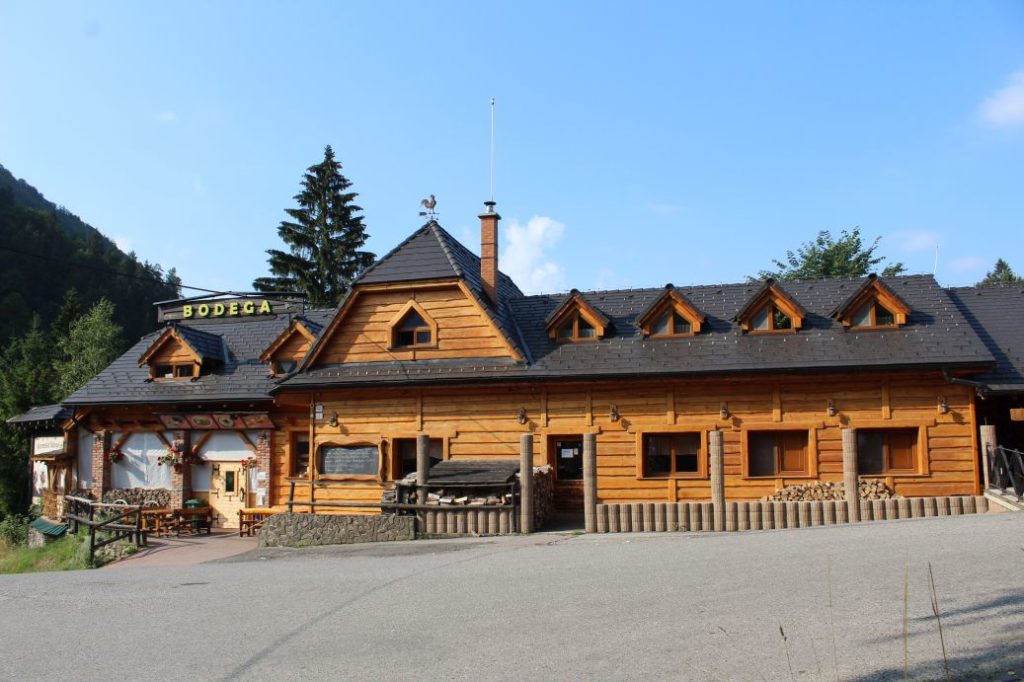
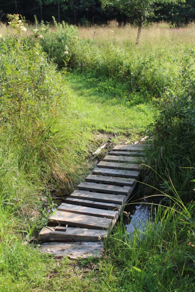
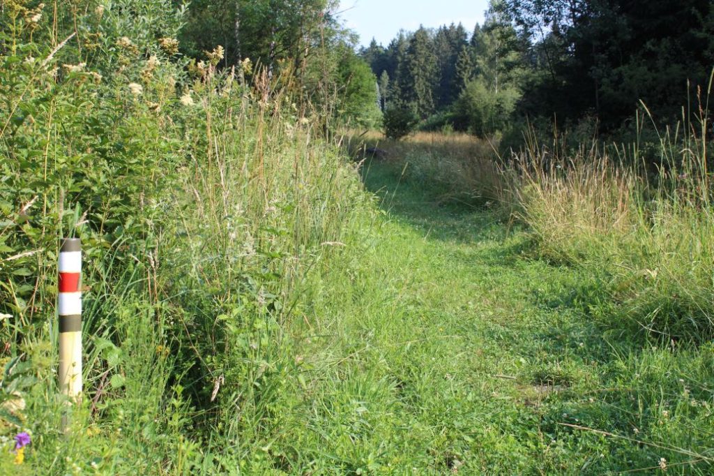
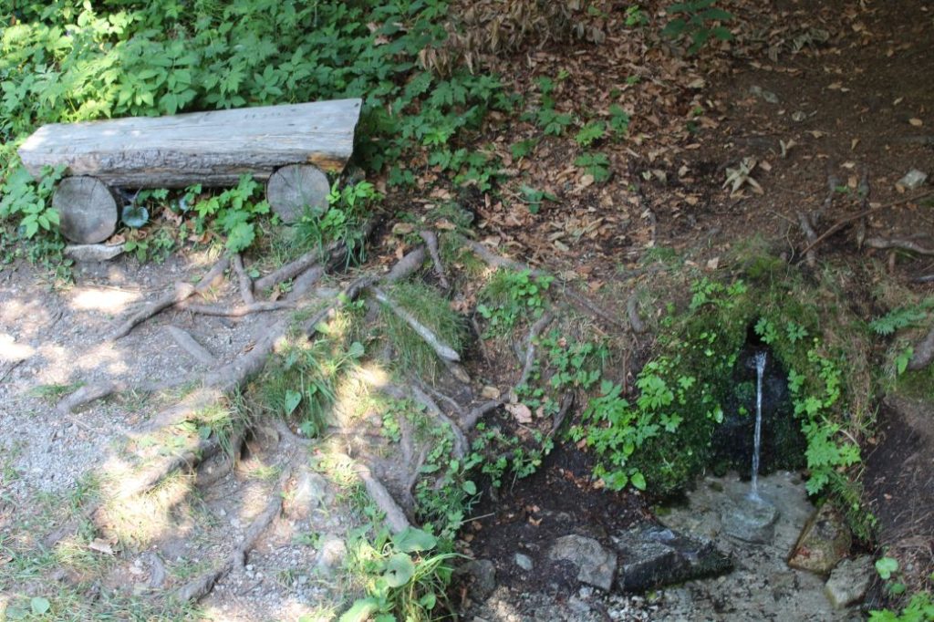
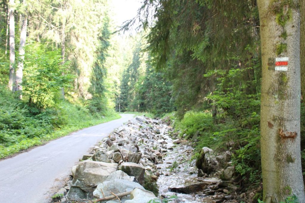
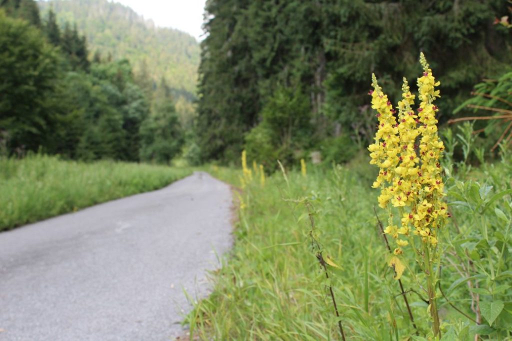
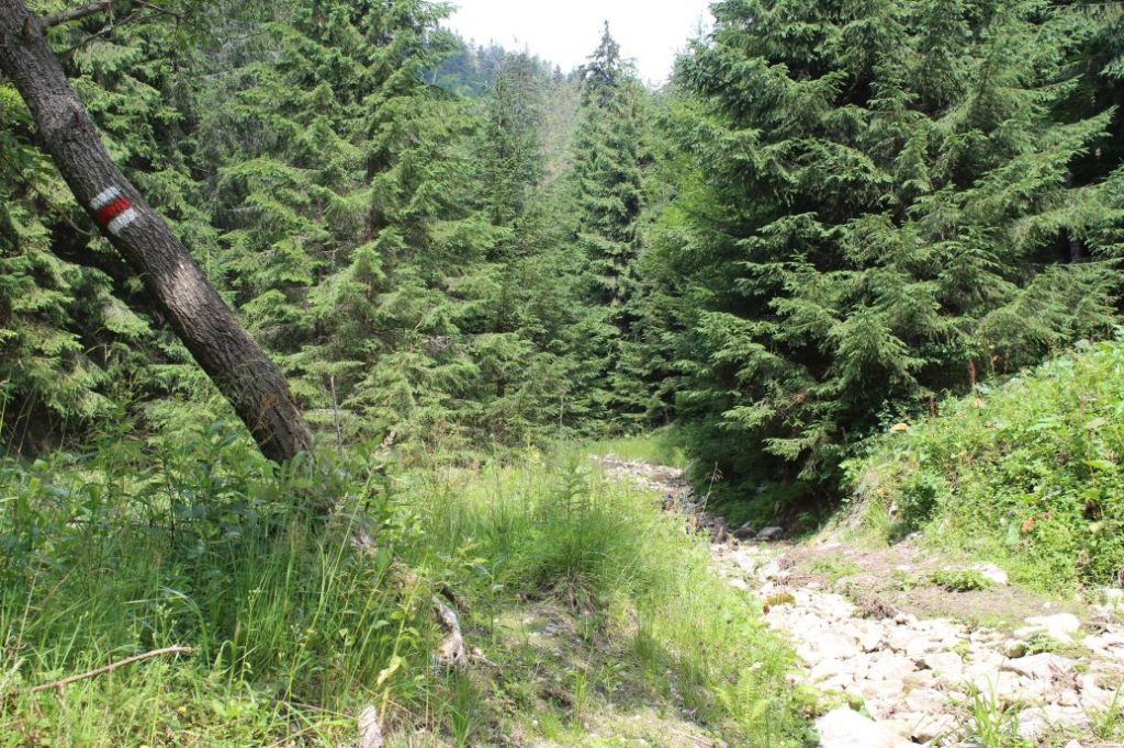
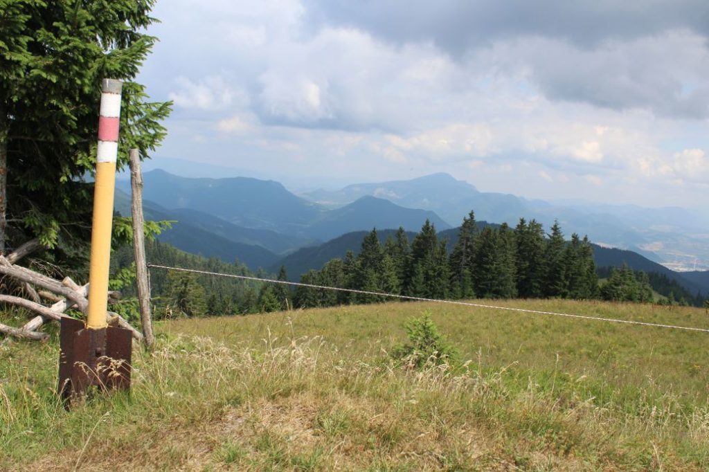
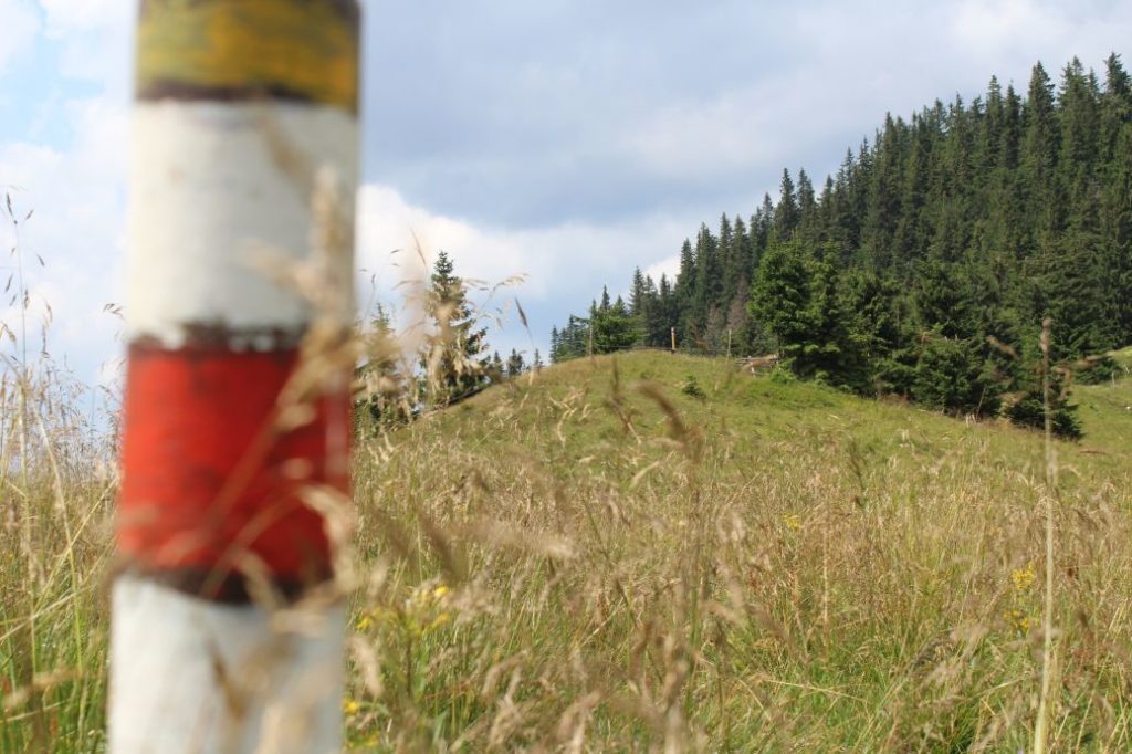
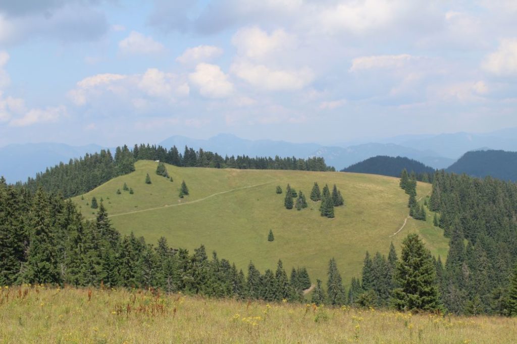
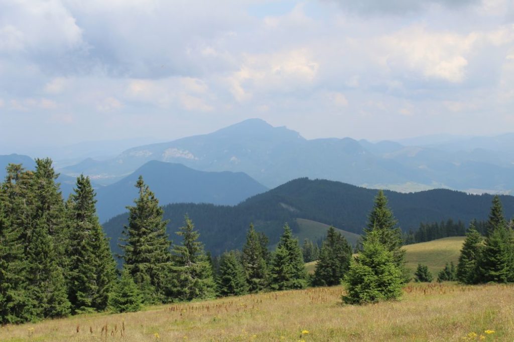
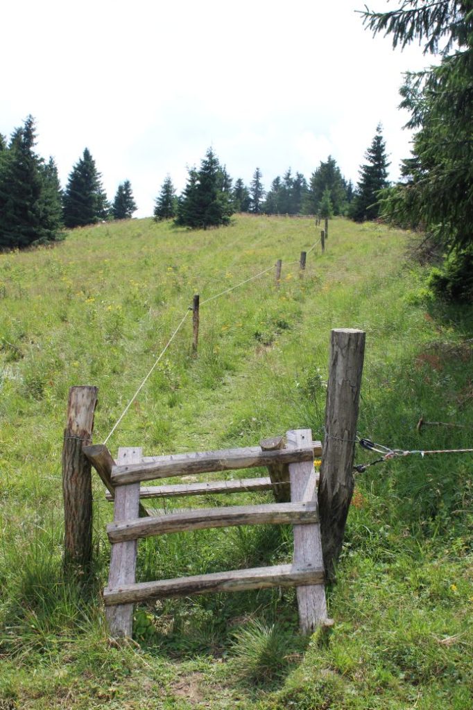
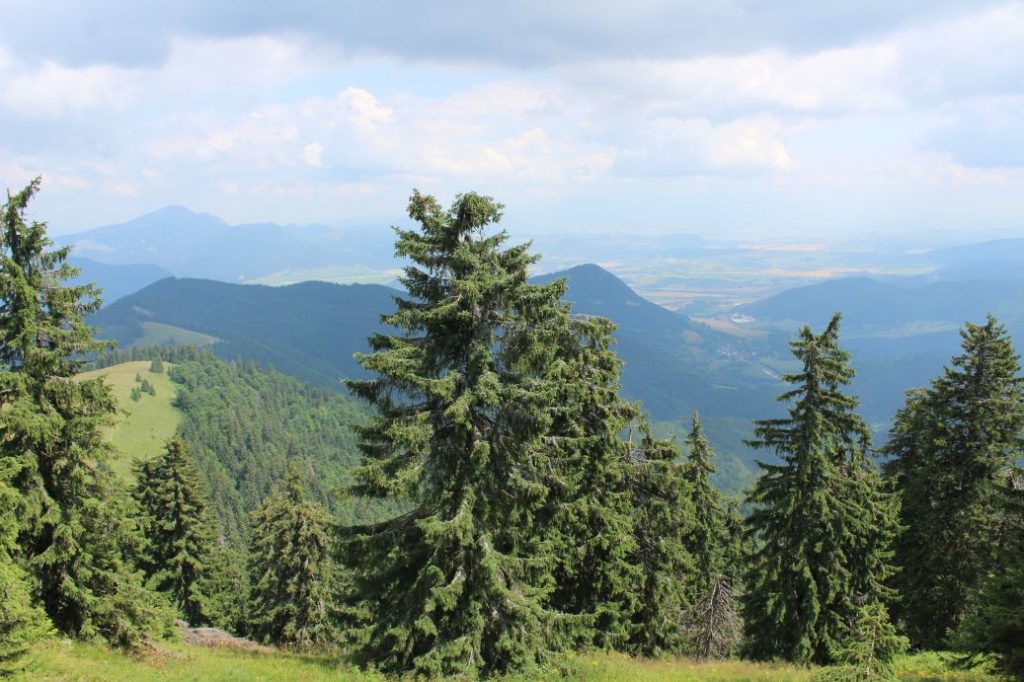
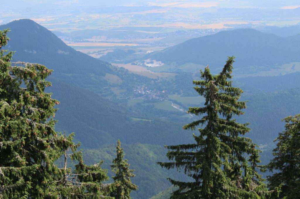
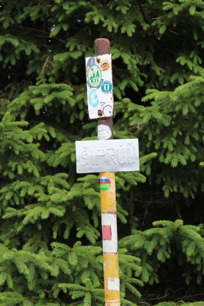
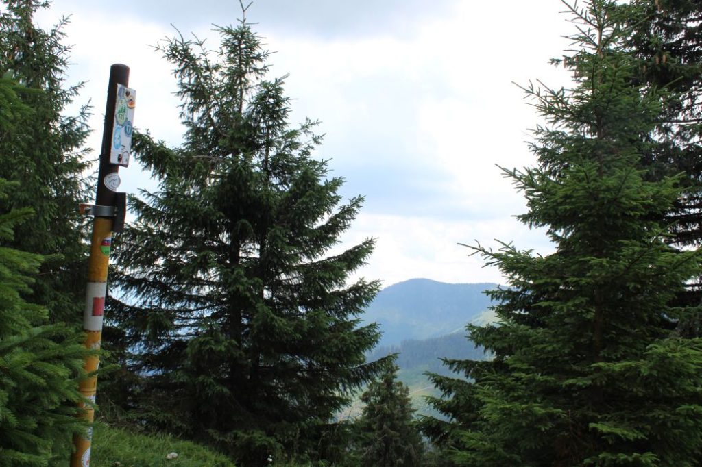
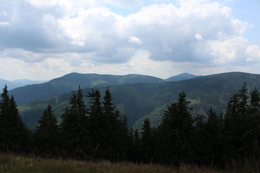
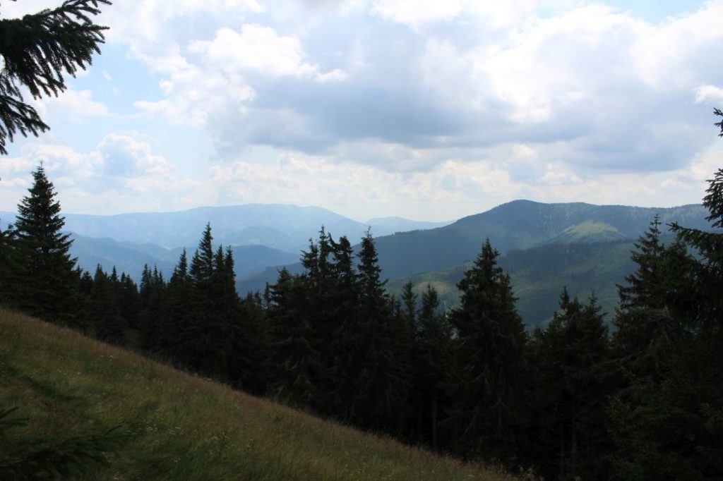
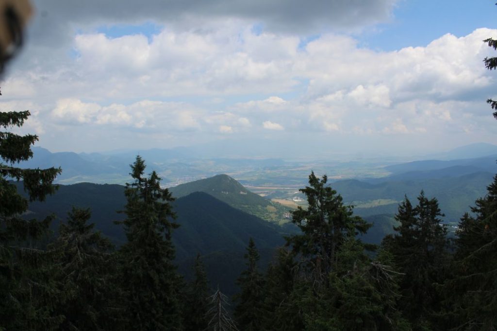
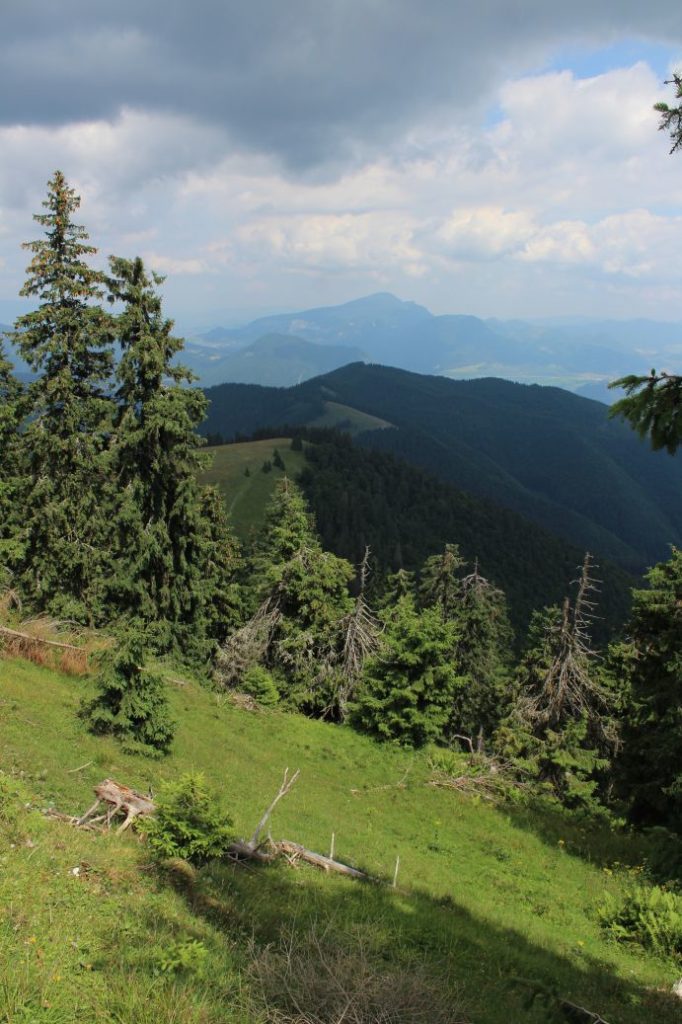
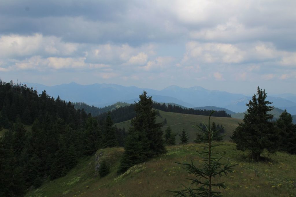
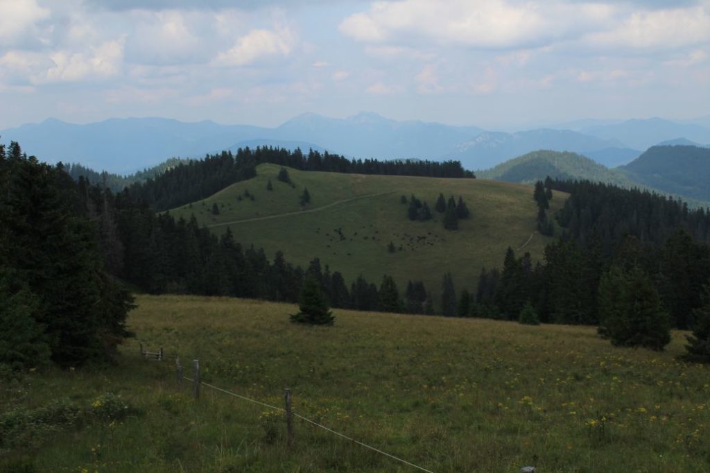
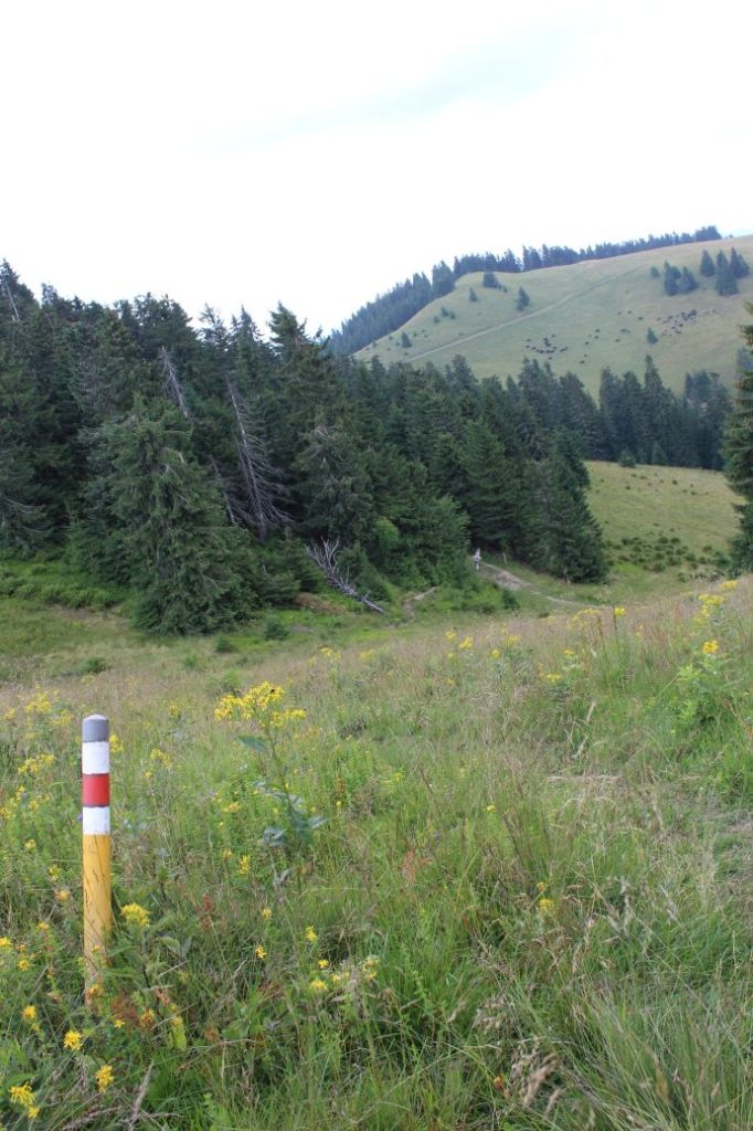
The route begins in Ružomberok’s village of Podsuchá, to which we can get comfortably by bus or with our own car. From the bus stop / parking lot, we go to the local restaurant (shepherd’s hut), where the marking for hikers begins. We follow the red-marked trail, which leads us to the left, past the memorial to the builders of the road to Smrekovica. We head in the direction to Ružomberok, walking back towards the bus stop and the parking areas, behind which, at the place where there is a small path turning to the left, we pass through the trees and bushes onto a trodden path. The path leads us through a moor and wetlands with several creeks, which we cross using the makeshift bridges made of wood. At one place, the path splits up and we continue to the left (the right path leads to a hut among the trees). The path will lead us to the beginning of a cabin settlement at the beginning of the valley of Nižné Matejkovo. We turn left and we are passing through the cabin settlement, at the end of which there is a mineral spring. In order to get to the spring, we turn left from the road we are walking on, in between the fences of the cabins, a few metres after the place where we crossed a bridge over a creek (after the place with the path to the spring, there are only three cabins remaining on the left side of the road). After a few metres, the path will lead us to the creek behind which the spring is situated. Behind the cabins, on the right side of the road, there is a man-altered spring with a bench you can sit on. There are old mine shafts situated in the woods in this area, which are, however, inaccessible and located in steep terrain. We continue through the long valley running mildly uphill along the creek. The valley is peaceful and quiet, you will only hear the sound of the creek which is accompanying us. In the section through the valley, we may notice a seedling house which looks like an old bunker, a hunters’ hide, or feeders for deer with hay for the winter. The slopes falling down to the valley are steep, in particular on the right side. The woods in the surroundings are of primary forest nature, it is particularly evident in the rocks and the soil, which are covered with dense growth and moss. The road will lead us to a sharp right-hand curve, where the asphalt surface ends. We will continue on the wood path along the creek. The path is washed out by water and there are pits. We continue further, still following the right bank of the creek. At the place where the path disappears and the route leads us up the creek, the trail marking is located on the right side, a few metres away from the creek. However, the path over there is untrodden and covered with growth. We recommend continuing up the creek, which might be a damper option, but you will probably pass this section in a faster and safer way. The creek bed will lead us to the beginning of a meadow (the trail running above the creek arrives at the same place), where we continue uphill along the left periphery of the woods. For the most part, the meadow is covered with growth, which means the marks located on the rocks are not easy to see. At the end of the meadow, there is a large mark (heron mark) located on a tree, confirming that we are walking in the right direction. We enter the area with trees and we follow a small creek flowing at this area. An indistinct, growth-covered path leads us steeply uphill. At the steepest section, we enter a path on which we turn to the right. After a few metres, however, our route turns away from the mentioned path, to the left, through fallen trees. If you lose the trail, just continue directly uphill. After a few minutes, we arrive at a meadow, which we simply walk up. Here, we might notice small yellow posts with a red mark, which will navigate us to the correct route. We continue to the right, through alternating meadow and woodland sections, to the peak of Šiprúň. Along this ridge, it takes about 15 minutes to get to the peak, there is almost no marking of the route, but the trodden path will show you where you need to go. Do not rush to the top, because this section will reveal partial views of Vlkolínec or the Liptov Basin. At Šiprúň, there is an iron post with a makeshift name of the peak. At the peak itself, there is no view, but a few metres away from the peak, you will get a view of Prašivá (the Low Tatras) and Smrekovica with Rakytov (the Great Fatra). Here, our route ends and we only need to get back along the same route, paying increased attention particularly during the descent through the steep section in the woods. After this hike, every hiker will probably appreciate the services of the restaurant situated at the end of the route. Those who would feel like more walking may take additional hike to the Brankovský Waterfall.
Notes:
– There is a restaurant and a parking lot at the beginning / end of the route.
– On the route, you will need orientation skills and the ability to find direction in the wilderness.

