Surroundings of Vlkolínec
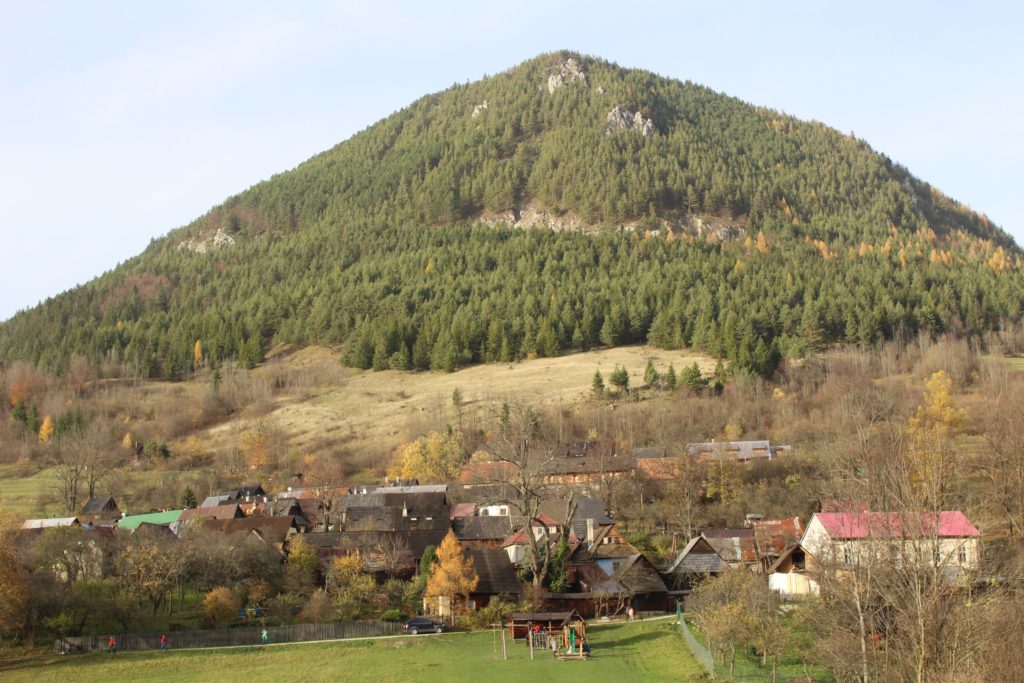
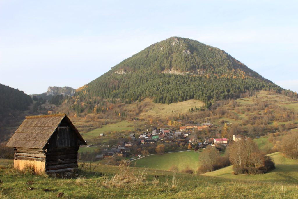
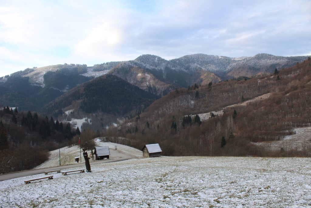
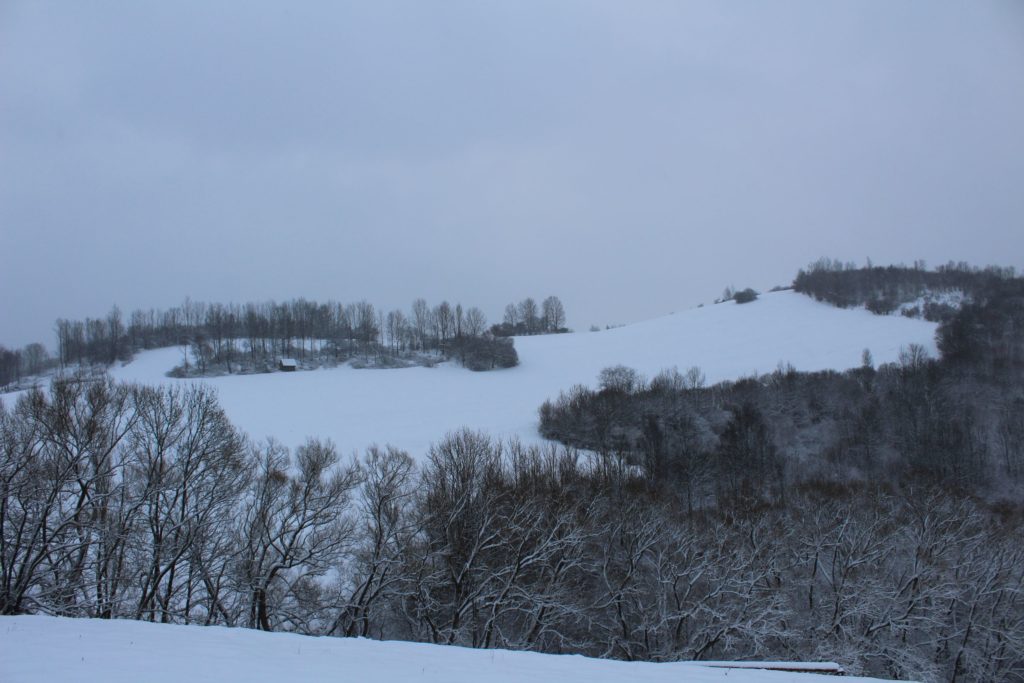
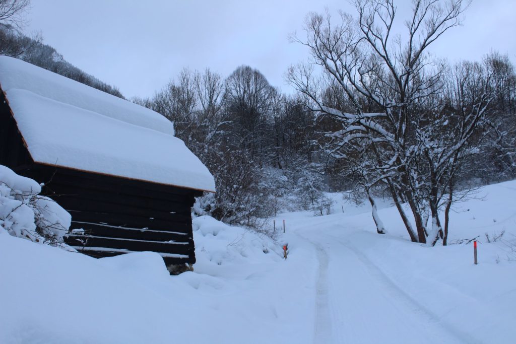
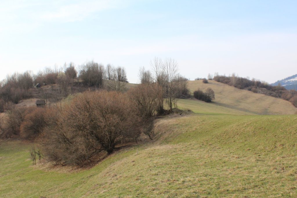
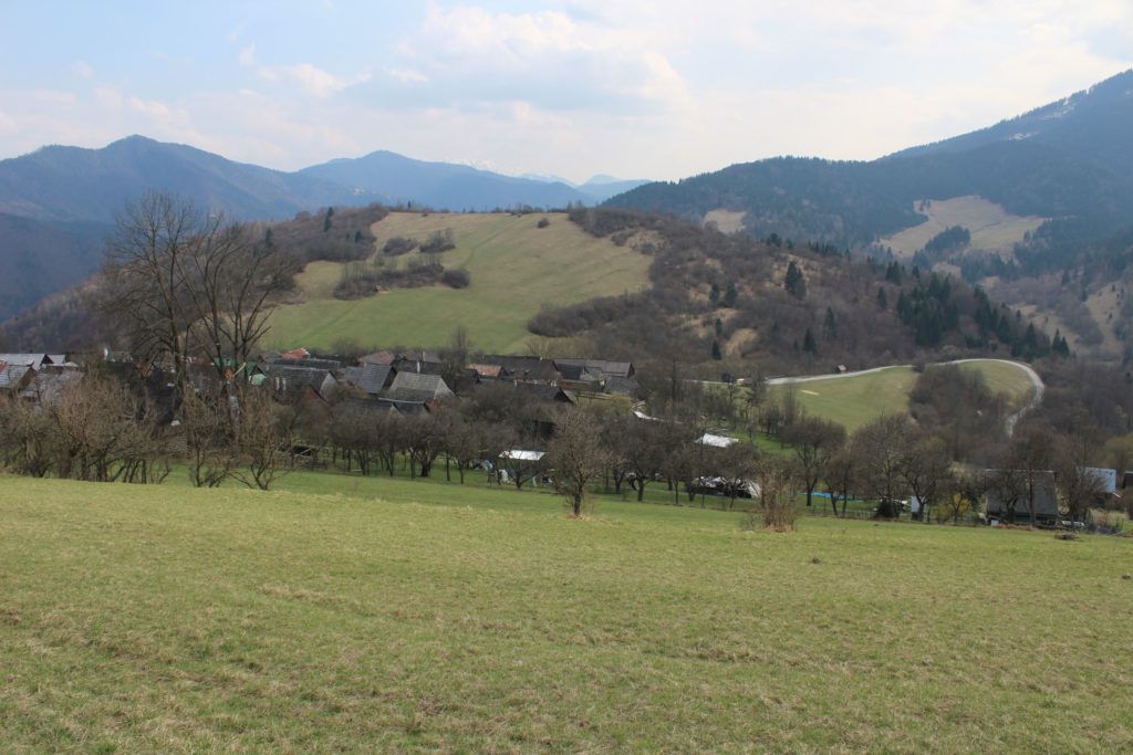
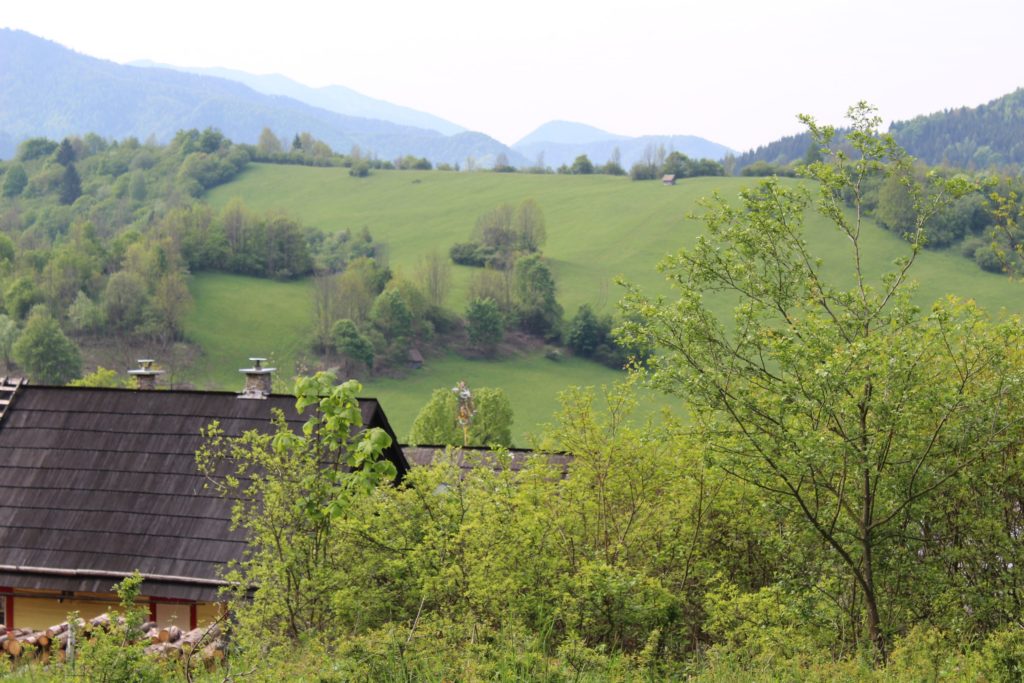
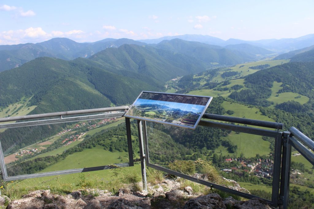
What also makes Vlkolínec interesting, in addition to its architecture and its log buildings, are its surroundings. They complete the colouring of the town and position it in a hilly mountainous landscape, thus creating the unforgettable atmosphere of a mountain village.
Terrace fields and meadows:
Meadows and fields in the surroundings of Vlkolínec were created by gradual felling of the woods originally covering this territory. With the number of Vlkolínec inhabitants gradually increasing, these felled areas began to be used for farming purposes. The closest surroundings were used for growing crops and the wider surroundings served as pastures as well as to prepare feed for livestock for the long periods of time during winters. Regular grazing and scything of meadows created the conditions for occurrence of rare plants. As the landscape in the area is mountainous, the inhabitants had to regulate the steep slopes into terraces in order to prevent water and rain from washing away the soil with the crops from their fields. Gradual expanding of farming land resulted in the appearance of numerous smaller fields arranged in terraces, which create the unforgettable colouring of Vlkolínec. At present day, these meadows and fields also serve as panoramic viewing points.
Hay Barns:
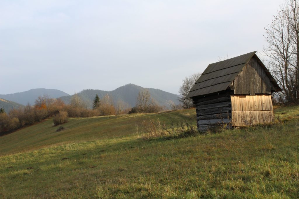
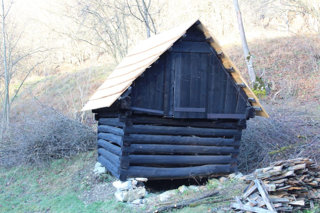
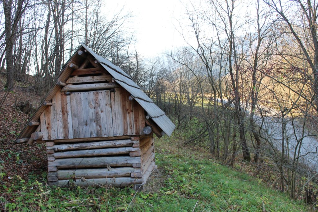
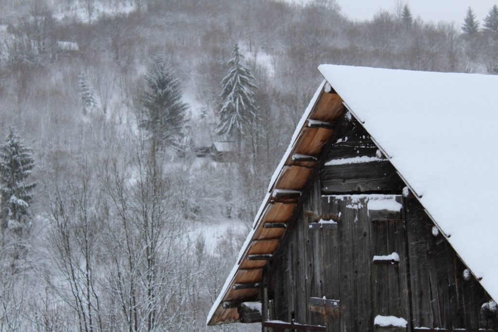
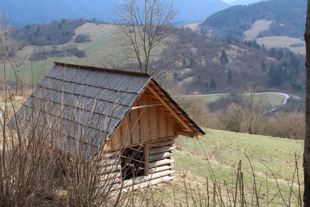
Hay barns or “štále” (stalls), as called by the local inhabitants, are small wooden constructions scattered all over Vlkolínec surroundings. They served for storing of hay supplies prepared by the locals during summer. Hay was stored in the hay barns for several reasons. For example, to make the transport of hay easier in the winter time, when it was needed. It also reduced requirements for the space needed in the main barns, and the most important reason were fires. By storing the feed away from the main barn, the feed supplies for livestock were protected from fires.
Sidorovo Hill:
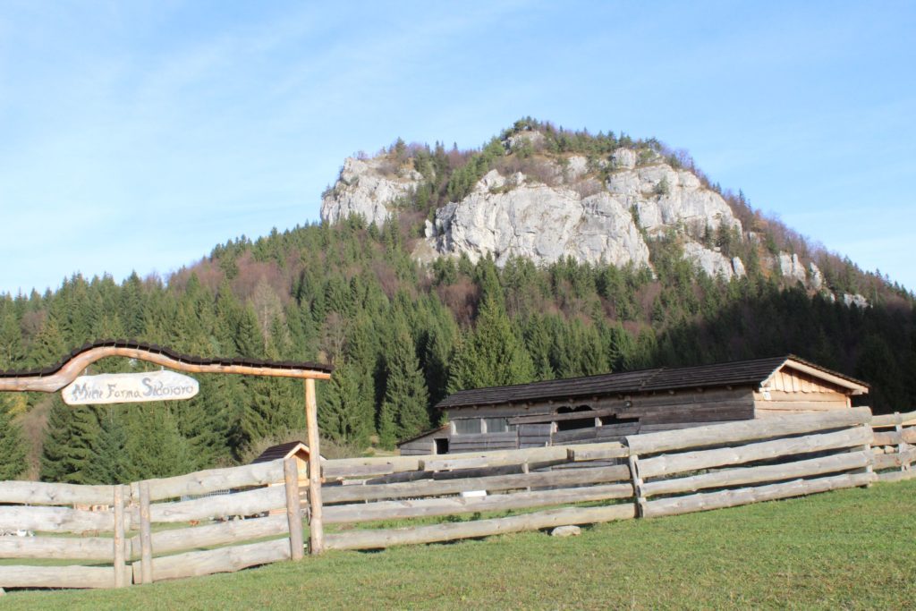
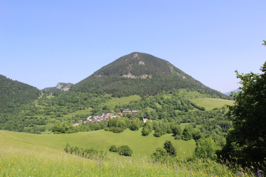
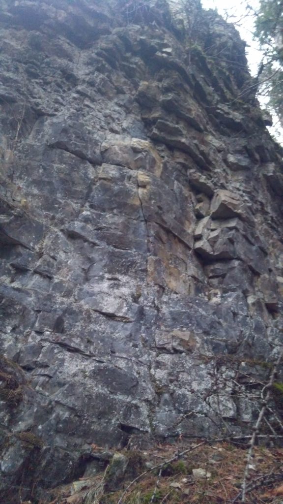
The hill towering over Vlkolínec as its imaginary protector against the cold northern winds. It is a part of the Great Fatra mountain range and it is known as Híravá (Hýravá) in the older maps. Among the local inhabitants, however, it is referred to as Žiar (glare), derived from the glare of the sun on the limestone rocks of its tops. In the past, the top of the hill used to be inhabited by the prehistoric settlement of the Hallstatt and the Early Lusatian culture. Today, there is a hiking trail leading to the top and the top itself serves as a viewpoint overlooking Vlkolínec.
Springs:
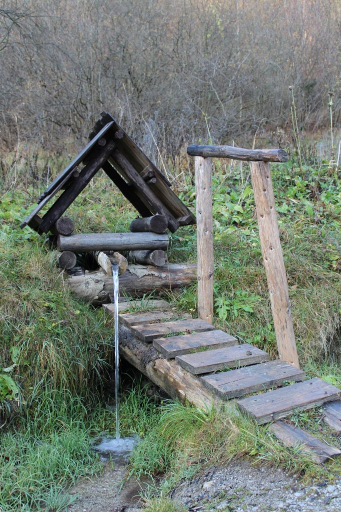
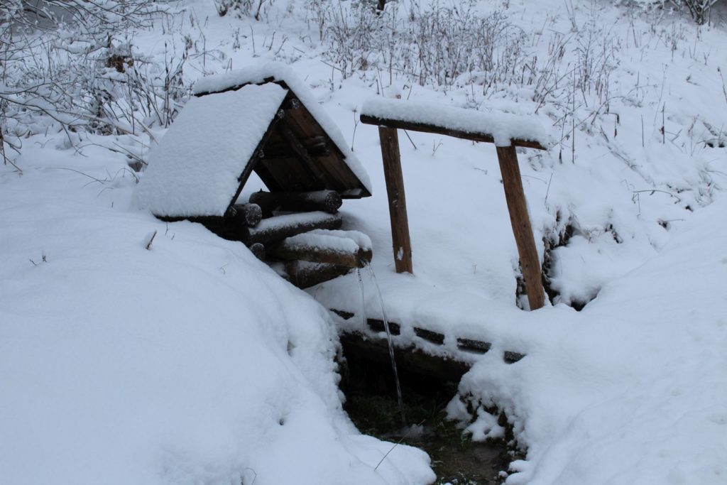
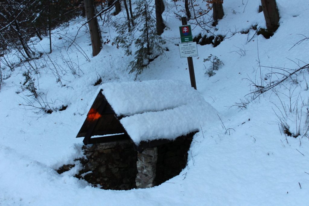
In the past, people valued everything that was good for them and that they could benefit from. The area around Vlkolínec is rich in water, which is evidenced by a large number of springs in the surrounding areas. The inhabitants often used them when working in the fields and, during extremely cold weather when the only well with potable water in the village froze over, they had no choice but to go bring the water from one of the springs. As water was a necessary part of everyday life, people took good care of the local wells and cleaned them regularly. There is also a spring near Vlkolínec, the so called “Teplica”, which does not freeze over even in the coldest weather, and which was many times used by the inhabitants as the only source of water during extremely cold temperatures.
Krkavá Skala (Krkava Rock):
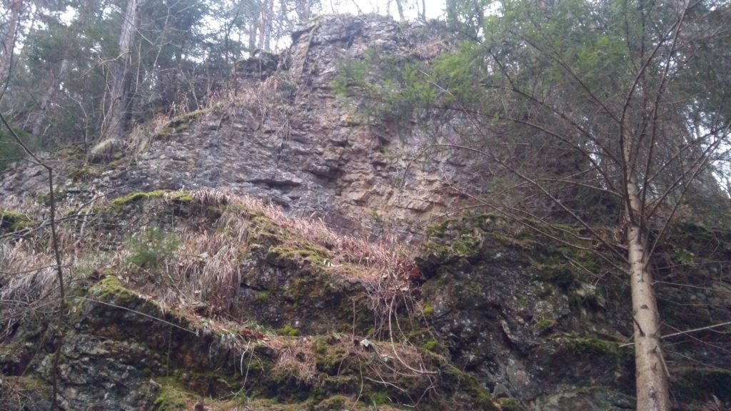
It is a needle rock formation in the massif of Sidorovo Hill and it is located near the road which used to connect Vlkolínec and Ružomberok. It was created by weathering of dolomite (limestone) and it is 15 metres high. It grows important species of limestone flora and it serves as a resting spot for the birds flying by. From an aesthetic point of view, it is a dominant feature above the meadows in the surroundings of Vlkolínec.
Vlčia Skala (Wolf Rock):
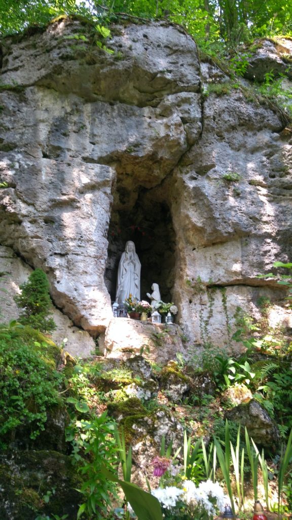
A travertine rock formed with several terraced layers, falling steeply into the Trlenská Valley. Near the top of the rock, there is a convalescent home of the Jesuit monastery in Ružomberok with the Chapel of Our Lady of the Snows. Deeper inside, there are several fissure caves. Its name is based on the rocky ruins which resemble a wolf head with open mouth. Near the wolf head rock, under the rock wall, there is a pilgrimage site, the so-called Lourdes Cave.
Doggerské Skaly (Dogger Rocks):
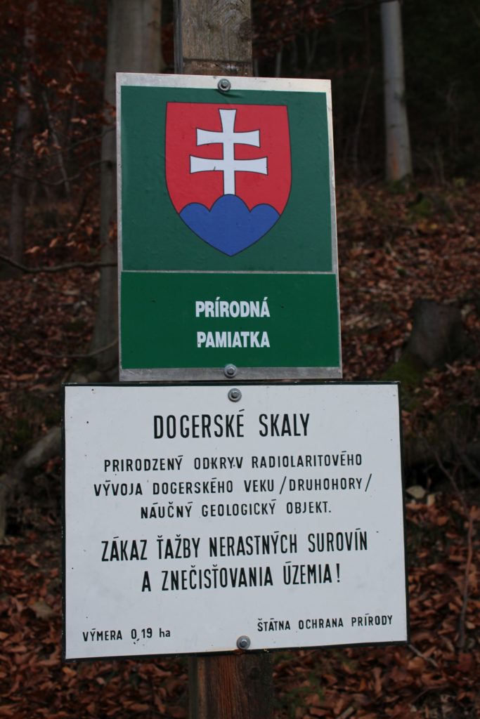
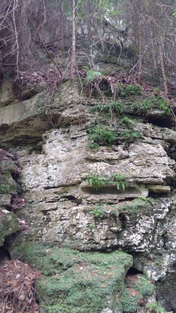
They are located a few metres above the mouth of the Trlenská Valley and they are a typical example of mountain formations in the area of the Great Fatra. They represent natural uncovering of Jurassic strata from the Mesozoic era. They are named after the name of the period in which they were created: “Dogger”, meaning Mesozoic. They contain plenty of microscopic fossils from the time of their creation, which are, however, difficult to recognize with the naked eye. Nevertheless, using the naked eye, you can see the deposited layers from the time of the rock formation, what makes them interesting from the aesthetic point of view as well.
Skala Mravíčka (Rock Mravicka):
It is a geologically interesting rock formation. Its interesting character has to do with its structure, which is visible on the surface. It is a rock cliff above the mouth of the Trlenská Valley. The rock itself looks unique already at first sight, it is perforated, which is where its name comes from too. The rock cliff has visible layers of deposits, which were formed at the bottom of the sea during its formation in the Mesozoic era. The layers of deposits create various interesting images and patterns based on the viewing angle.

