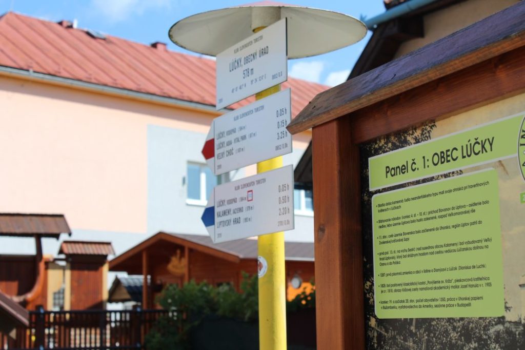
To Veľký Choč (Great Choč)
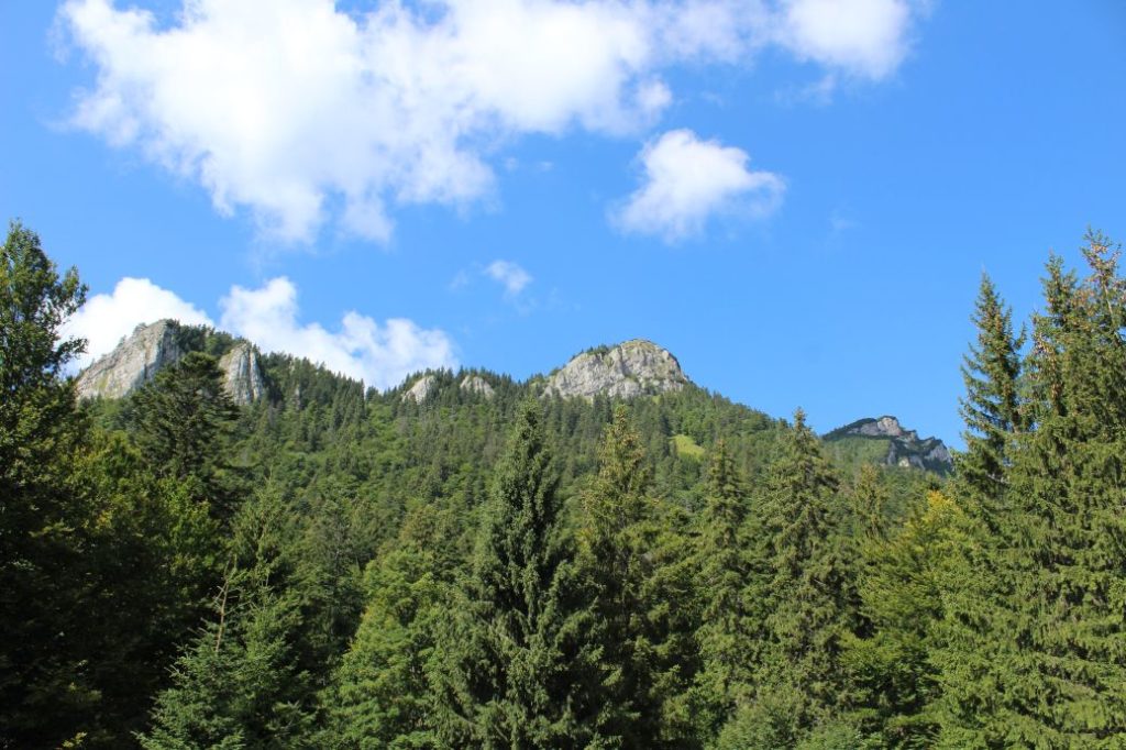
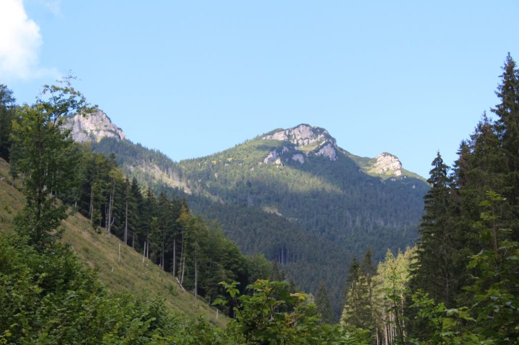
The hike to Great Choč belongs among the most interesting ones, but also the more demanding ones in the region. It is sought after especially for the beautiful panoramic views from the peak.
Start: Valaská Dubová (bus stop “Valaská Dubová,,OcÚ“)
Destination: Lúčky (bus stop ”Lúčky,,OcÚ“)
Route: 12.5 km
Estimated time: 5:10 hours
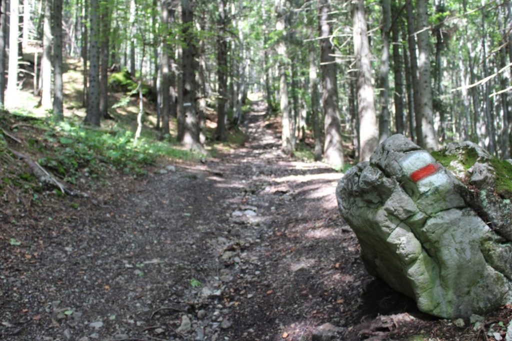
Marking: Blue, green and red hiking mark.
Vertical distance: 1000 m
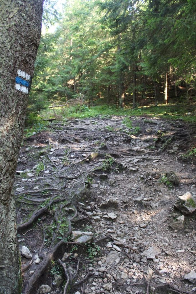
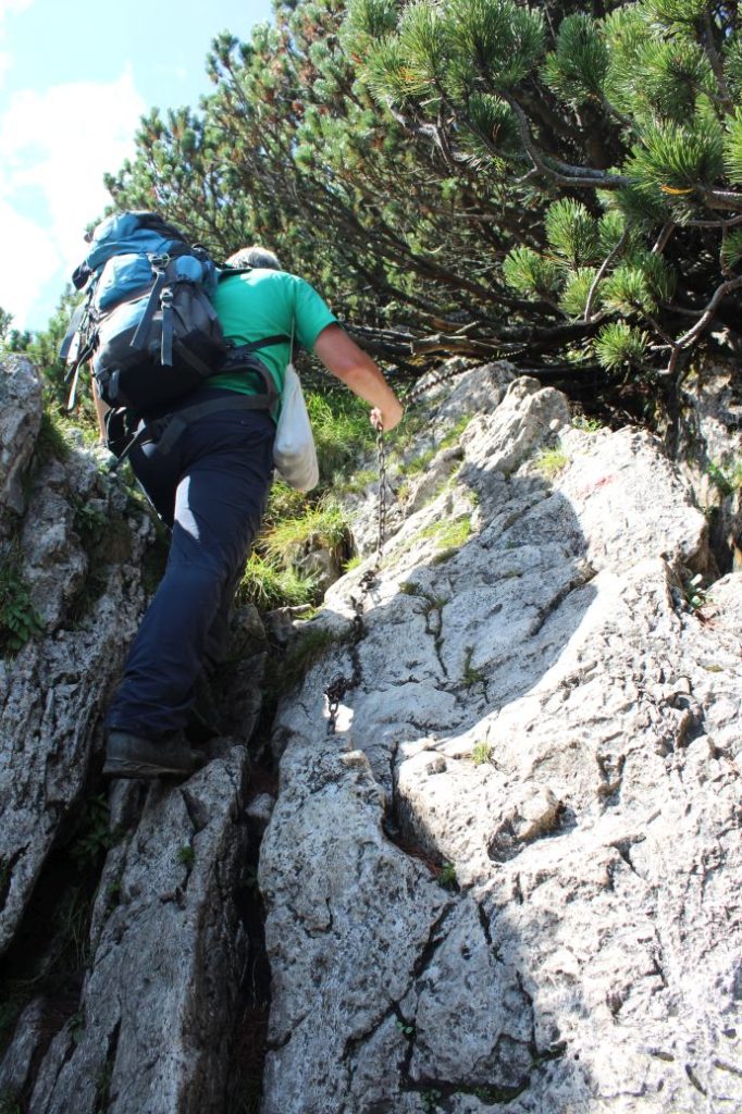
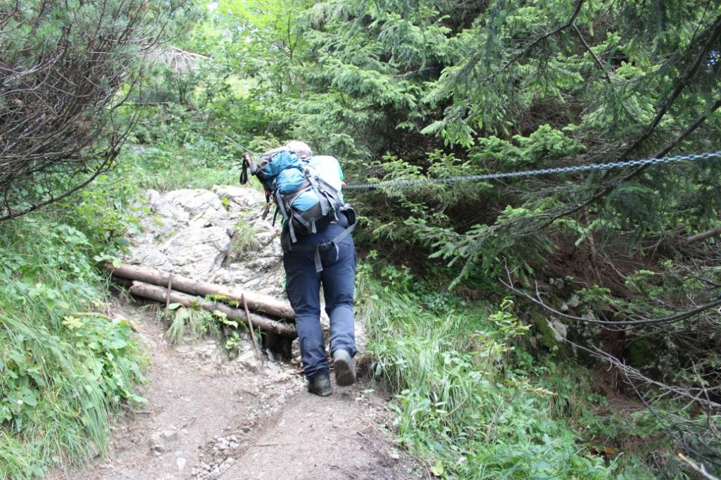
Difficulty level: The route belongs among the more demanding ones, especially due to large vertical distances in short sections. The terrain is diverse, from muddy sections and rocky areas, through wood paths, to asphalt roads. Some of the more demanding sections are secured with steel chains, and at some places, you need to use your hands to hold onto trees, rocks or bushes.
Safety: Along the route, there are several steep uphill / downhill sections, which are slippery in damp as well as dry weather. There are some sections in the woods with muddy terrain. The sections of the route which are steeper and more demanding are secured with chains. The top viewpoints are not secured in any way. A large portion of the route consists of gravel and rocky trails, which pose a risk of twisting an ankle. We recommend using hiking poles and high-quality anti-slip footwear. The route is not suitable for children under the age of 10. The route is also not suitable for persons with reduced mobility.
Transport:
By car: Parking in the town is possible only at the metered car park by the local cemetery. (We recommend using public transport, as the route does not end where it begins, or returning from the peak along the same route.)
By bus: From the bus station in Ružomberok to bus stop “Valaská Dubová,,OcÚ“
By taxi: Taxi from the centre of the town to the beginning of the route will cost you about 10€.
Route:
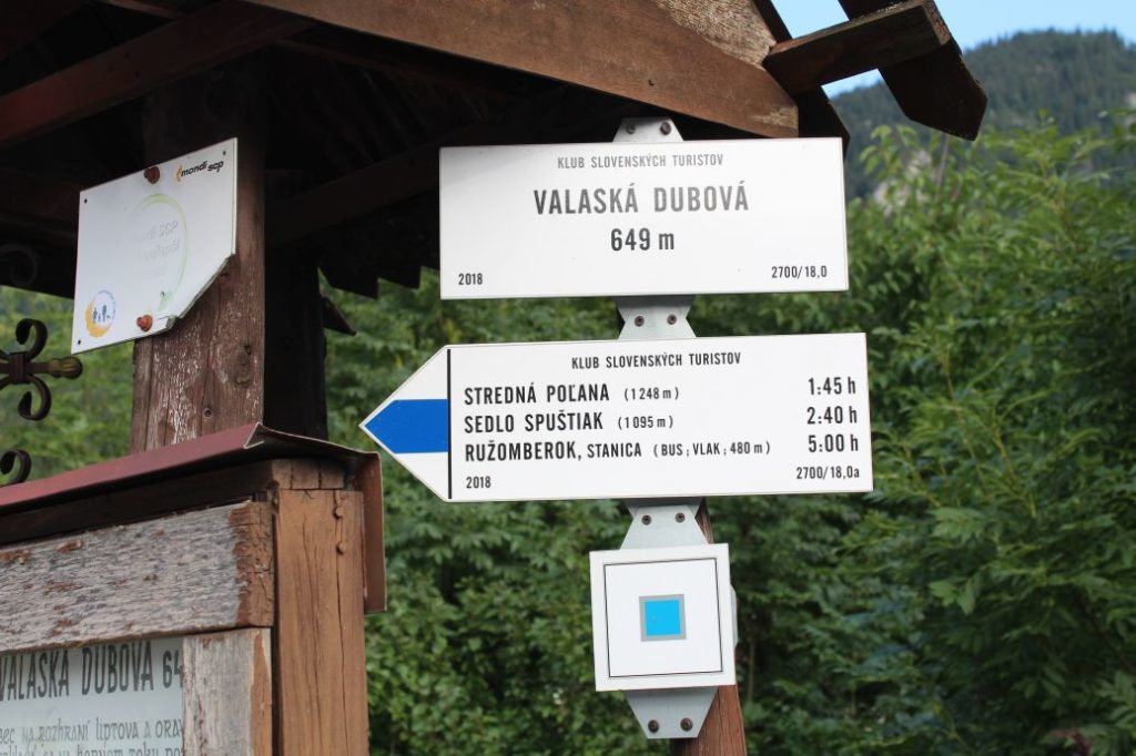
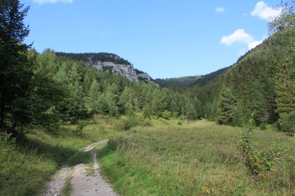
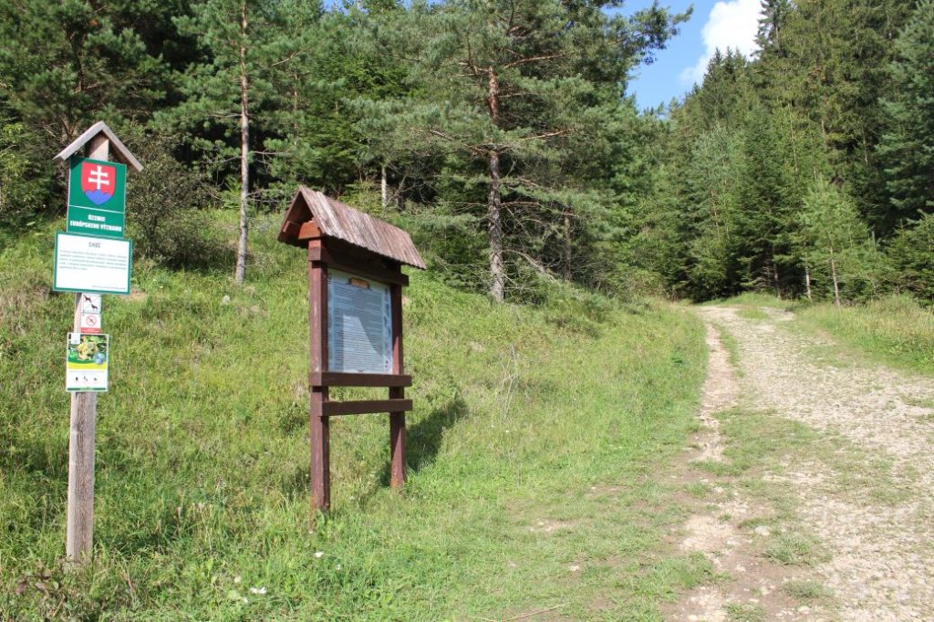
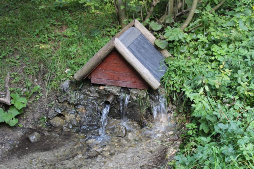
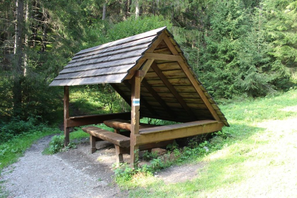
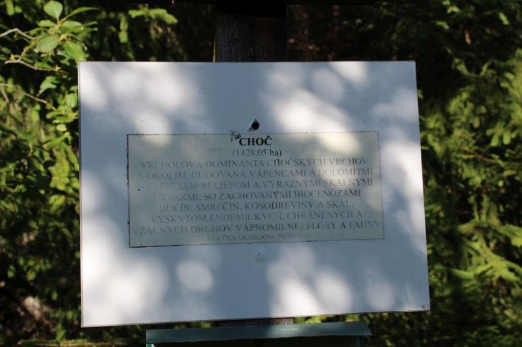
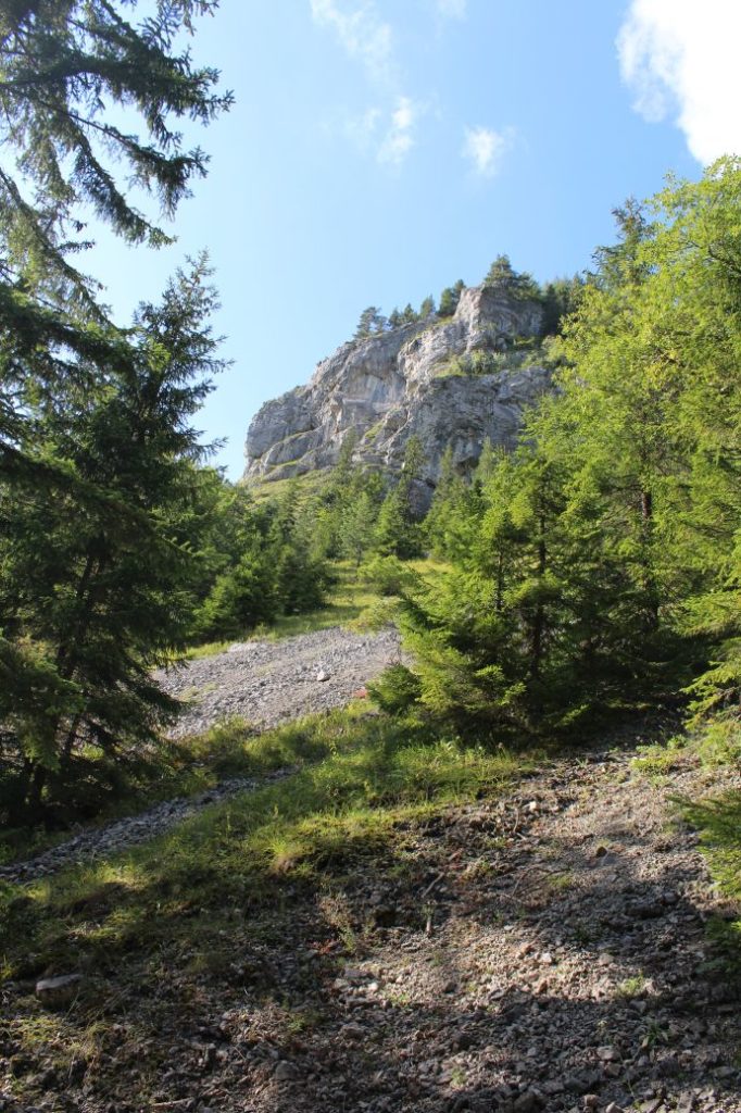
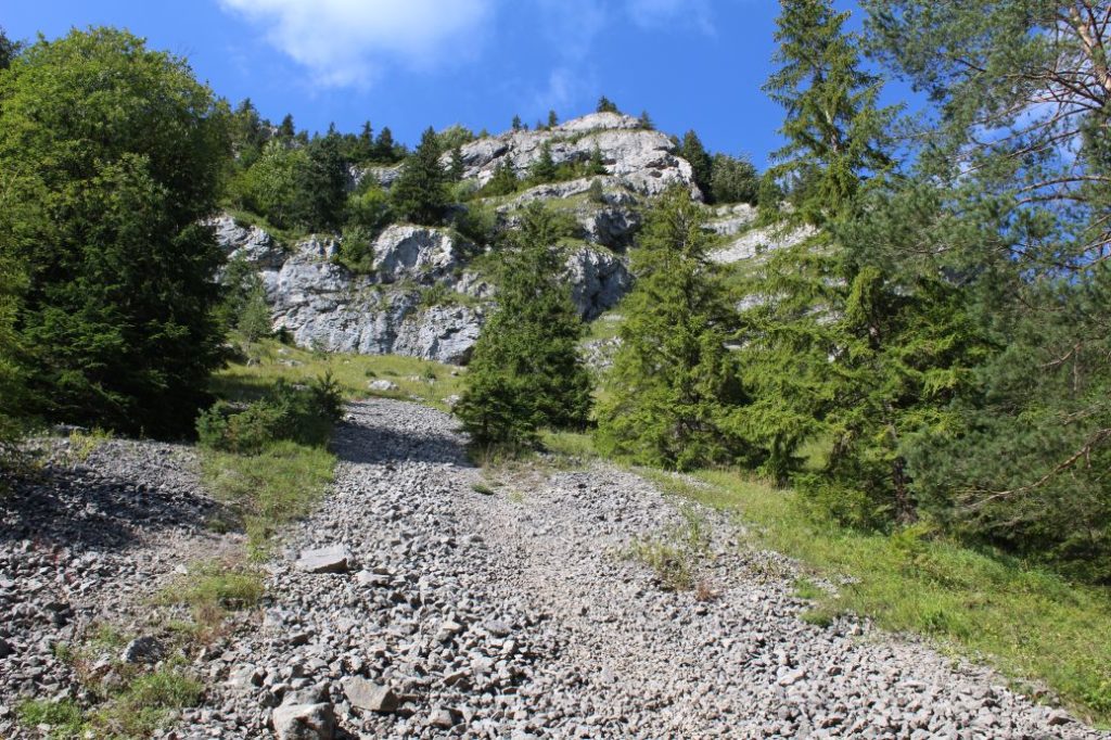
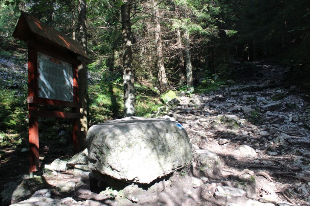
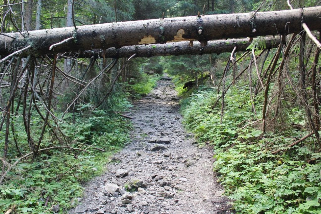
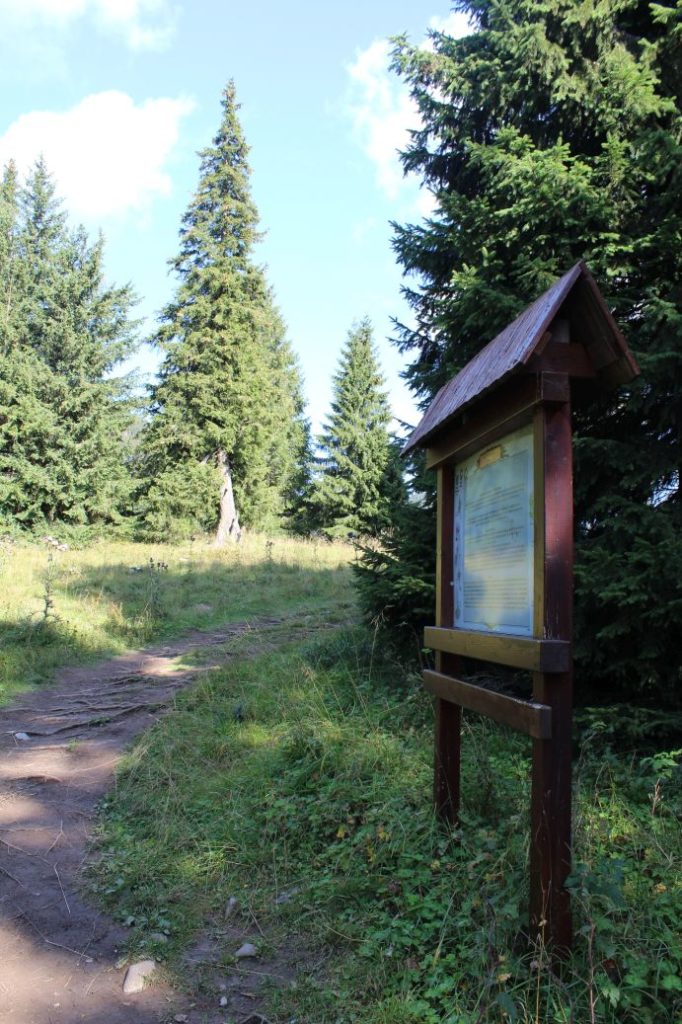
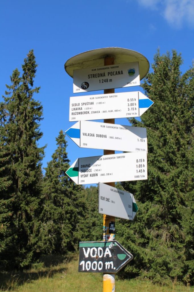
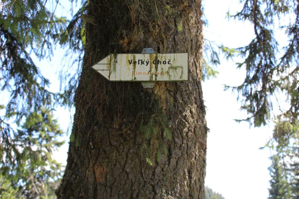
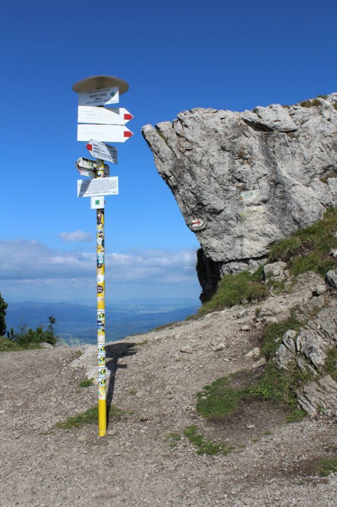
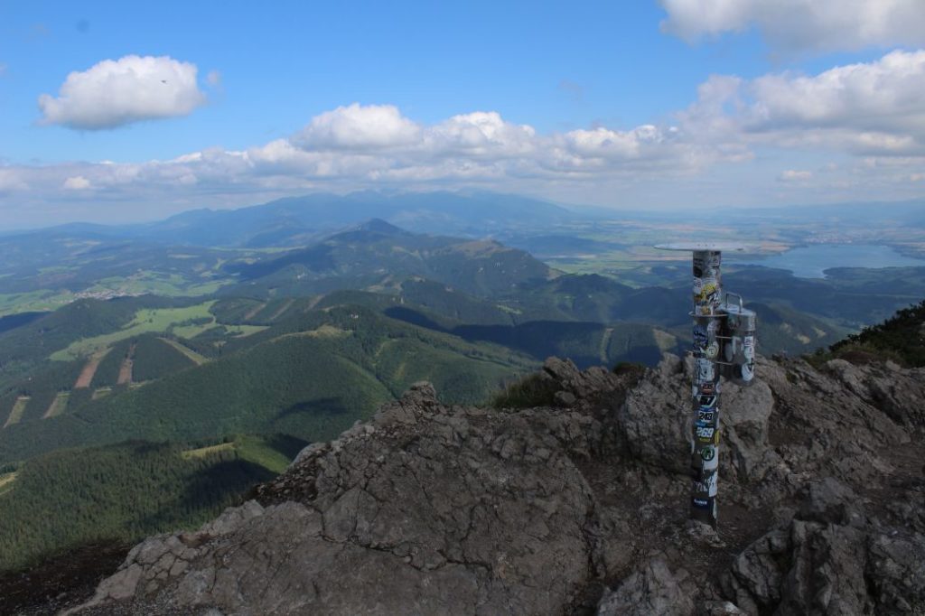
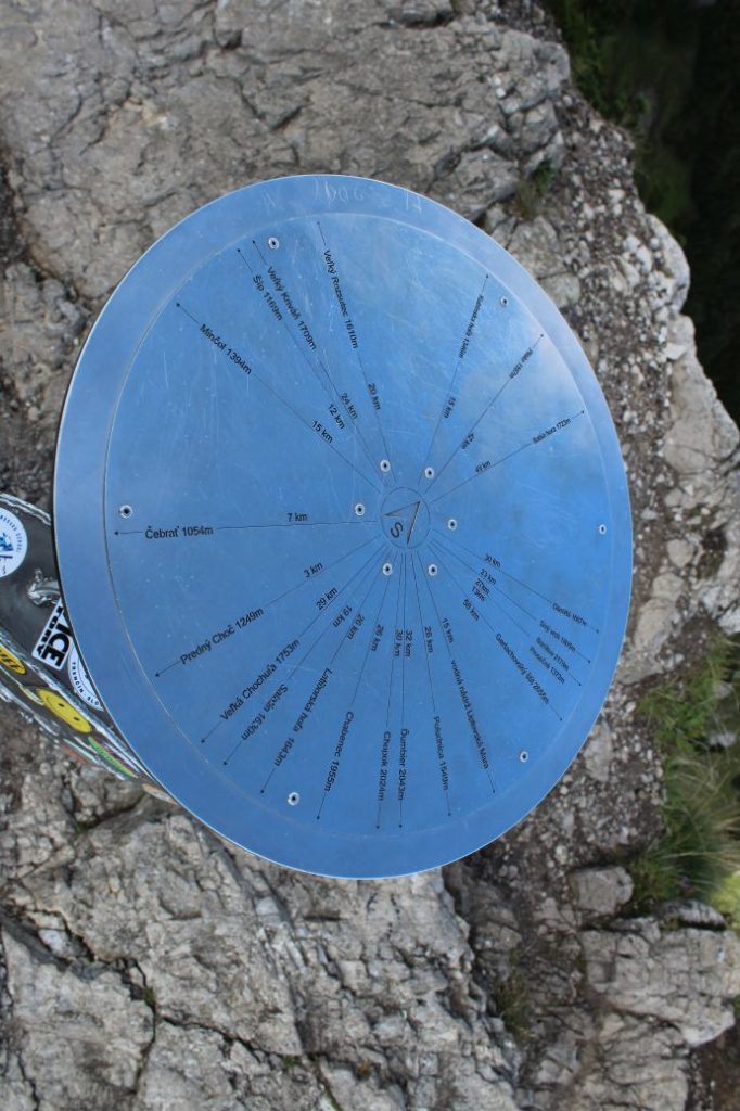
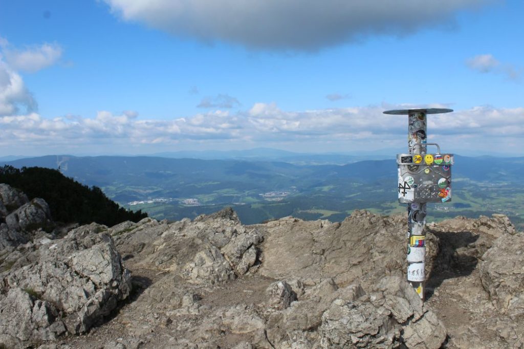
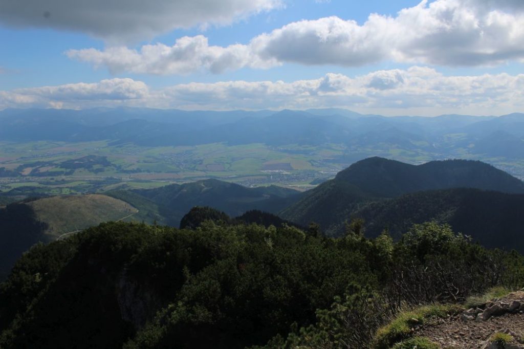
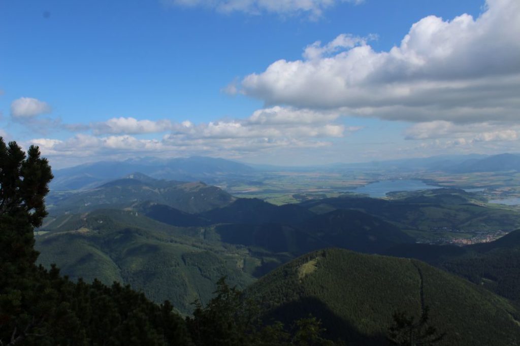
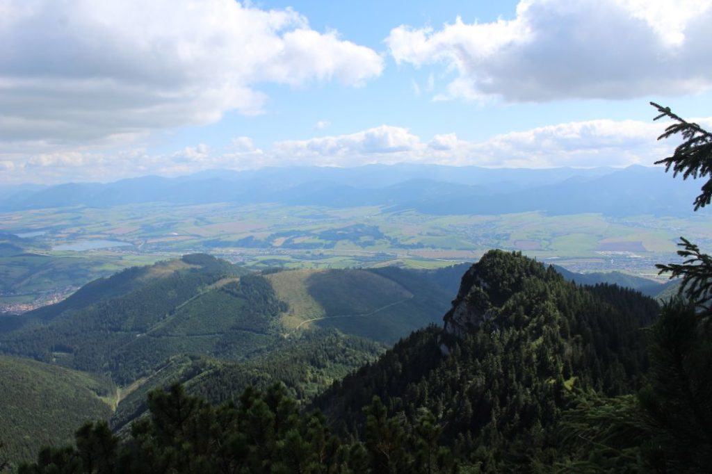
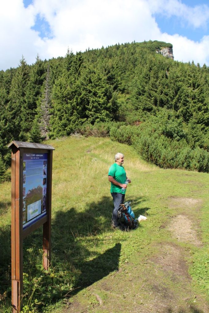
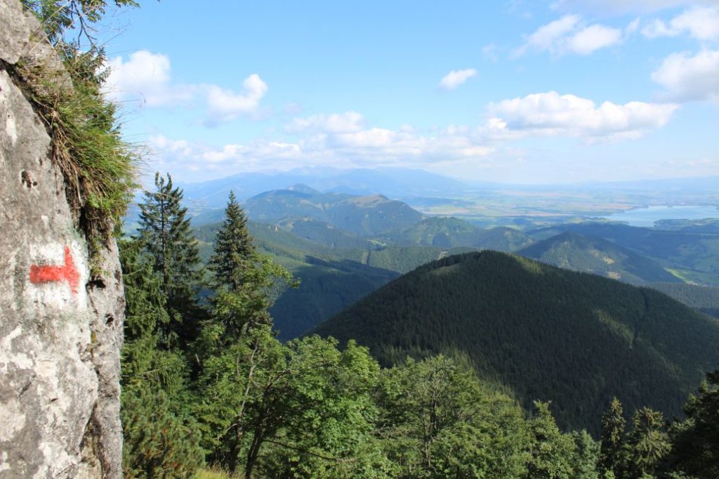
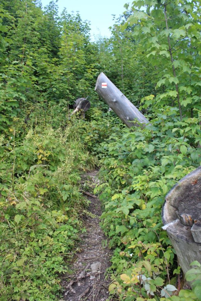
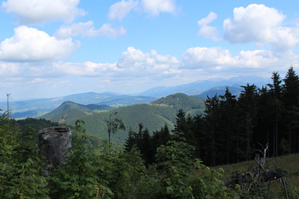
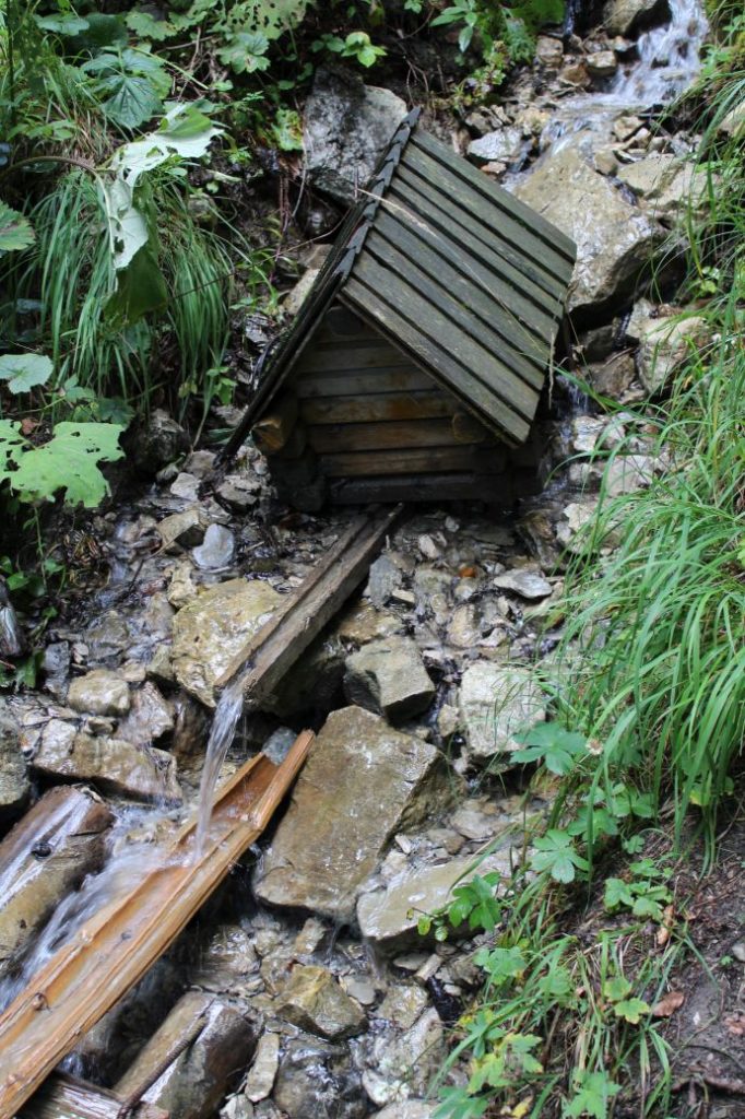
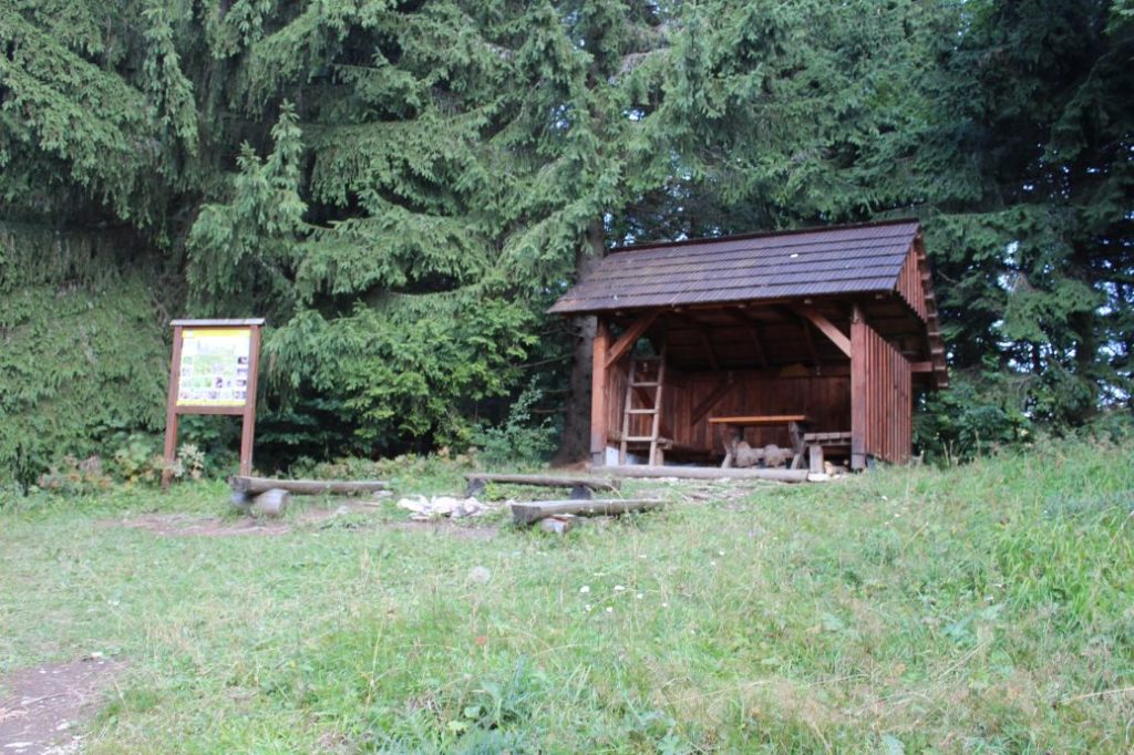
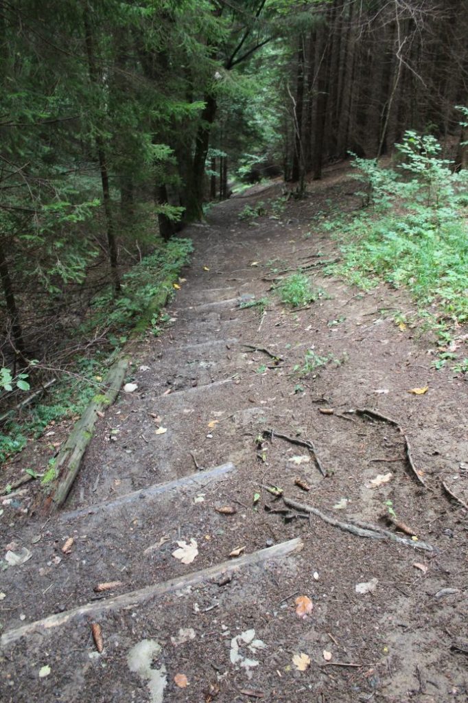
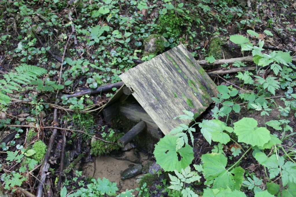
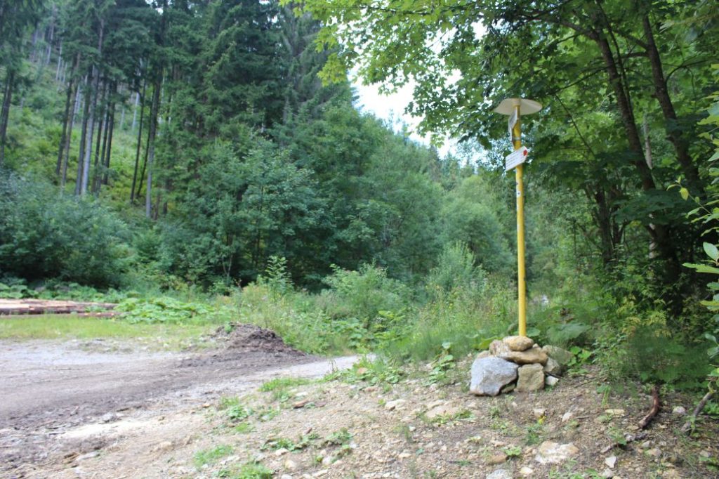
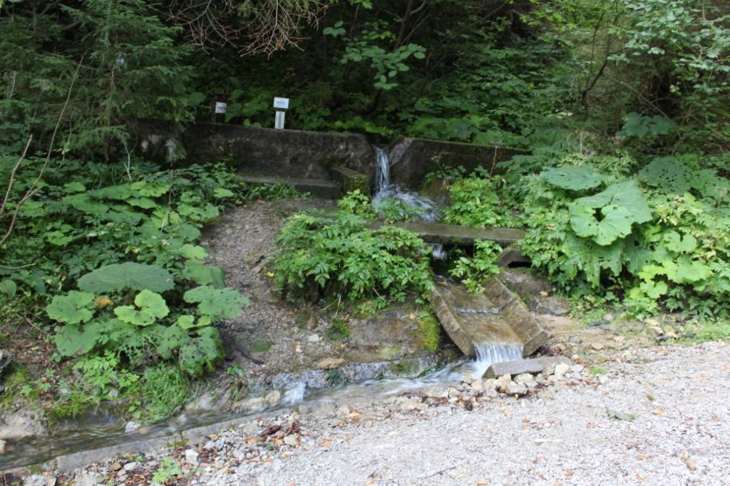
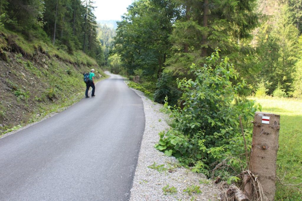
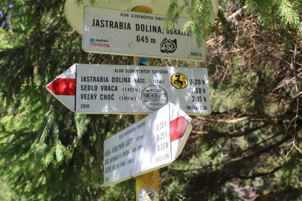
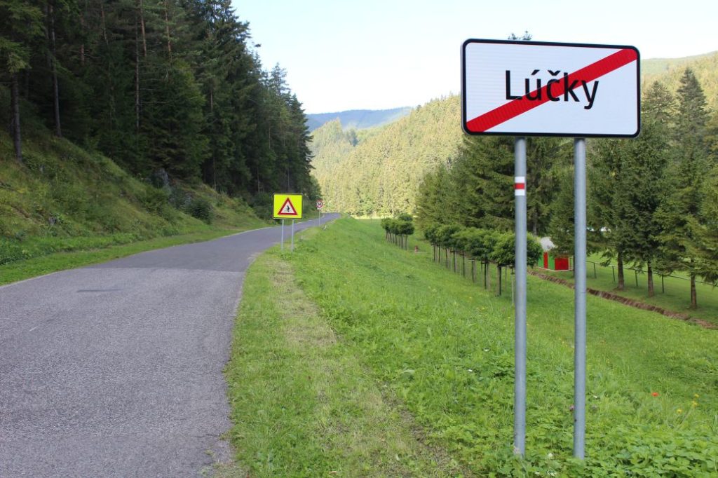
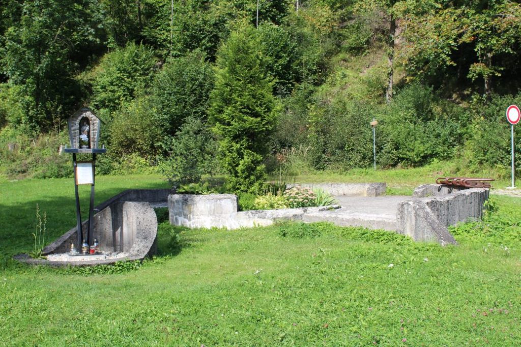
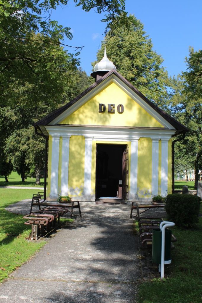
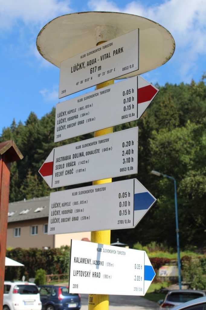
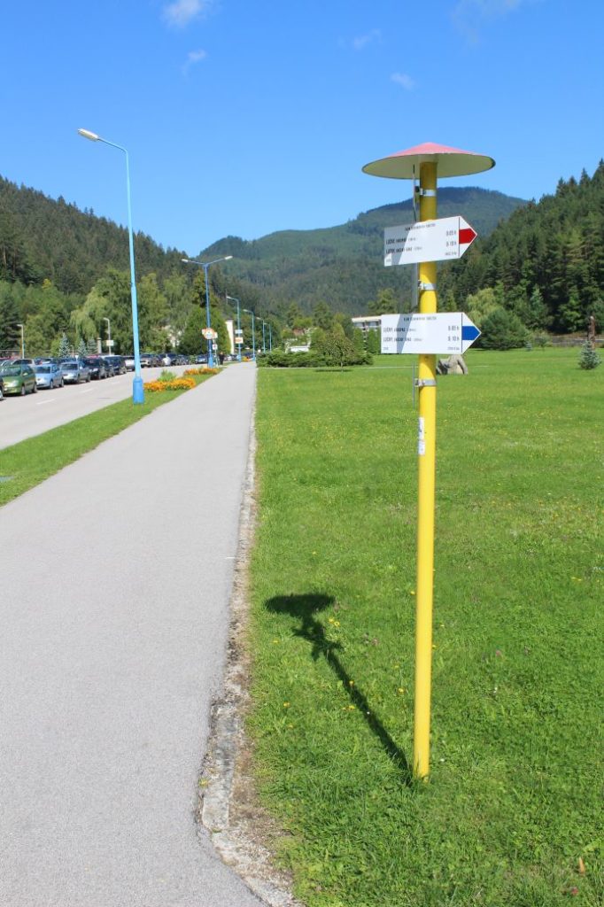
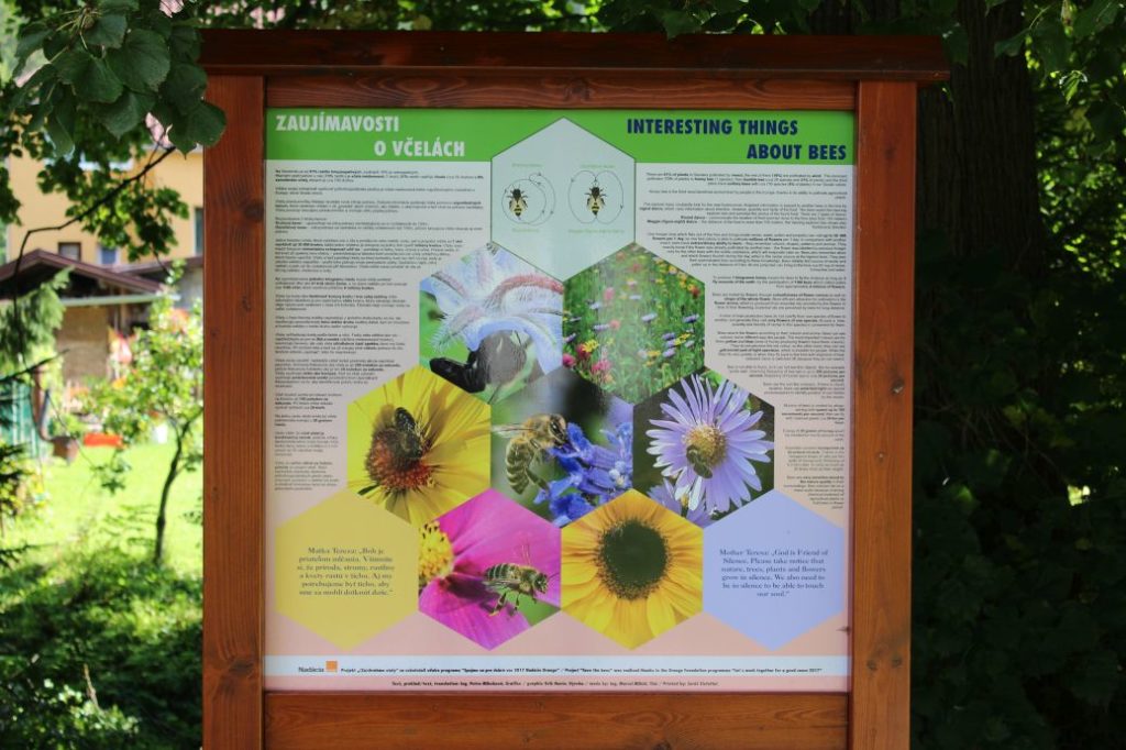
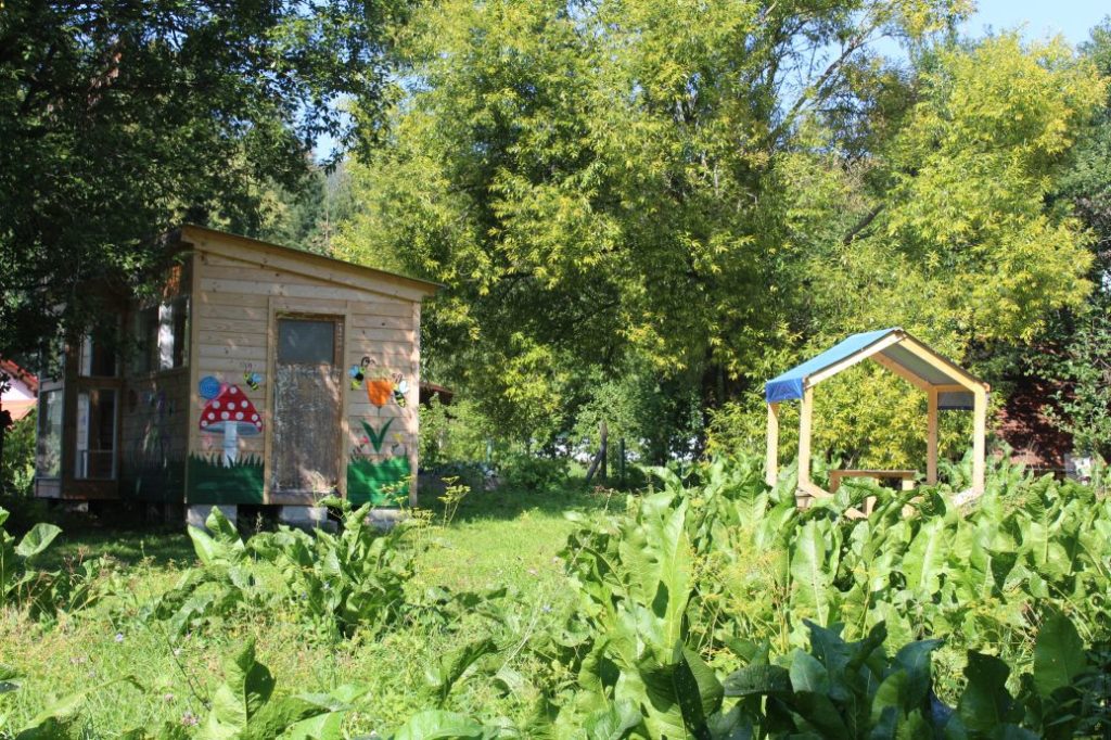
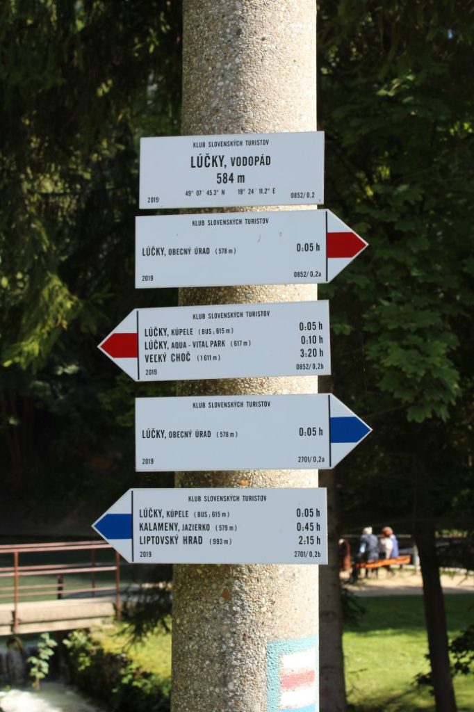
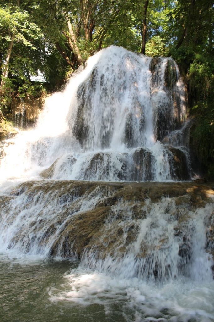
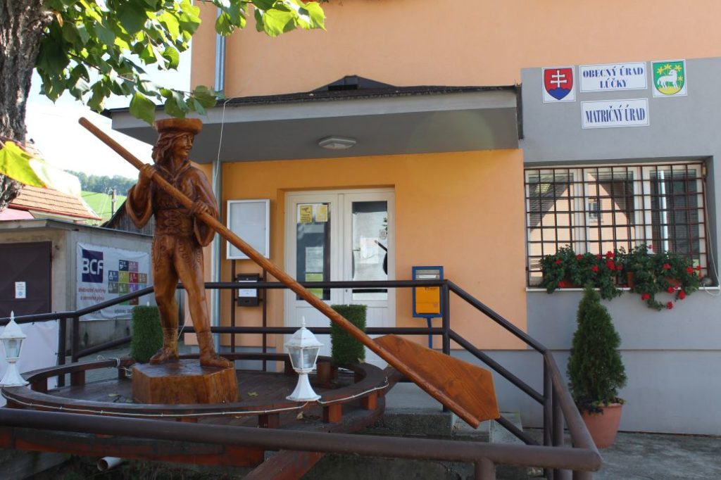
We start the route in the centre of Valaská Dubová, by the hiking signpost next to bus stop “Valaská Dubová,,OcÚ“. We follow the blue marked hiking trail, which leads us past a wood carving of a bandit, up the hill in between the houses. The path splits up, but we continue in the direction to the rocky cliff outside of the village. The marking leads us out of the village to a paved road, on which we continue, passing by trees and bushes, to a meadow. At the end of the meadow, below the woods, there is an educational panel about the woods, “Les”, and a shelter with a sitting area on the right side among the trees. We are entering the woods and the path becomes a bit steeper. After a few minutes, we come to another shelter with a sitting area, near which there is a well with water. However, the water does not surface by the shelter, but approximately at 300 metres farther uphill. We continue through the woods, where our trail changes from a road to a gravel path, to a place with another educational panel, about “Tesné Skalky”. Here, our path becomes a bit steeper once again and the terrain is rocky, with loose rocks, but we are rewarded with views of the rocky walls of “Tesné Skalky”. After a few minutes, we arrive at something which looks like a gate made of rocks, consisting of rocks along both sides of the pathway, and the ascent becomes even steeper from here. The path continues straight up to an educational panel about fauna, “Fauna”. After the panel, the ascent becomes a bit milder again and the path leads us to a place where we turn right from the straight path, and here the terrain becomes steep again. After a short but steep section of the way, mostly on gravel terrain, we get out on the meadows, where we are welcomed by the last educational panel, about “Flora”. We arrive at the signpost in Stredná Poľana. Here we get the first views. We continue on the green-marked hiking trail along the periphery of the mountain meadow. Not far away from the signpost, the trail splits up and we go right, following the summer variant of the trail. The trail leads us to a wooded area, where we are slowly getting to the altitudes necessary for conquering of the peak. We exit the woods onto smaller, sloping meadows, from which we continue to the zone of mountain bushes. The section through the zone of mountain bushes is not long, but the rocky and gravel terrain is a bit uncomfortable. Not far away from the peak, our route connects to a red-marked trail, along which we will continue to the peak and then further. A hiking signpost sticking out from under a rock welcomes us at the peak of Great Choč. However, we continue a few more metres to the right, to the very top, at which there is a viewpoint compass rose to help us identify the surrounding hills, and a hikers’ book we can sign. Our climb is rewarded with a beautiful panoramic view of all the cardinal points. The Great Fatra, the Small Fatra, the Choč Mountains, the Low Tatras, the West Tatras, the High Tatras, Oravská Magura, Orava, Liptov and much more we can see from the peak in good weather. After resting and taking in the views, it is time to head back down. On our descent, we will be guided by the red-marked hiking trail, which at first leads us through the zone of mountain bushes, to notch Vráca. In the section through the zone of mountain bushes, you need to climb down one larger rock, but it is secured with chains. In the notch, you will find an educational panel about the geological conditions and the flora of Choč. The descent from the notch is also secured with chains for safer passing. The steep and often slippery trail will lead us to a blowdown, which is, fortunately, sawn up and cleared for passing. In one steeper section we will again use the chains to help us. We arrive at a small meadow / clearing / blowdown, where we can enjoy the last views on the route, as we will continue mostly in the woods. On the meadow, we turn to the right onto a path through the woods. There are several paths on this meadow trodden by woodland animals, therefore pay increased attention and find the marks. The downhill path leads us past a wooden well located on a creek, which surfaces approximately 50 metres farther uphill, in the terrain covered with growth. Not far away from the well, we arrive at another panel about the woods and we exit the National Nature Reserve of Choč. The trail will lead us to the area of Žimerová, which is made up of mountain meadows. From the bottom edge of the meadow, at which there is a hiking signpost, we can look back and admire the views of the rocky cliffs of Small and Great Choč. After a few dozen metres, we can rest on another meadow, by a wooden shelter with a sitting area, and read some information on another educational panel. After resting, we continue along the downhill path through the woods, to a paved road. Here, the marked trail does not continue on the road, but it crosses the road and continues down the valley. The trail runs through steep downhill terrain in the woods and the surface is slippery and muddy. At some places, the trail is altered into steps consisting of rocks and logs, for easier passing. The trail leads us past a wooden cross on a tree, which few people even notice, as you need to be watching your steps. The valley, which now runs more mildly downhill, leads us to a creek, near which you will see a modest wooden well situated under a tree. We continue across the creek and alongside the creek to a bridge, at the end of which we come to an asphalt road. The trail leads us down the Jastrabia Valley, past a resurgence situated above the road, to a valley above the village of Lúčky. In the valley, we continue to the right and after a few minutes, we arrive at spa complex Lúčky. We continue through the spa complex, where we can read something about the spa at the educational panel. After exiting the spa complex, the trail will lead us to a creek, near which there are educational panels about bees and an apiary located behind them. At this place, we are already able to hear the sound of the waterfall which is situated a few metres further ahead. To get to the waterfall, we walk down the stairs, which will lead us to the periphery of a small park with the Lúčky Waterfall. From the park, it is only a few dozen metres on our route to the local information centre for tourists, where we will find the end of our route at the bus stop.
After the route, we recommend using the services of the local spa and taking advantage of the beneficial effects of the mineral water to regenerate yourselves after the demanding hike to the peak and back.
Notes:
– In the vicinity of the beginning of the route, there are refreshment establishments and a restaurant.
– On the road that we are crossing below Žimerová, we recommend in the event of rainy and damp weather to continue along the paved road to the right and let this road lead you to an intersection, from where you continue on the asphalt road, slightly to the left. This route is a bit longer and it adds about 2 km, but this way you will avoid the slippery and muddy terrain, and you will connect to the red-marked hiking trail again.
– If you prefer, you can use the bus stop at the end of spa Lúčky and make your trip a bit shorter.
– The route is situated in the Choč Mountains with the highest peak of Great Choč.
– The route passes through the protected bird area of the Choč Mountains.
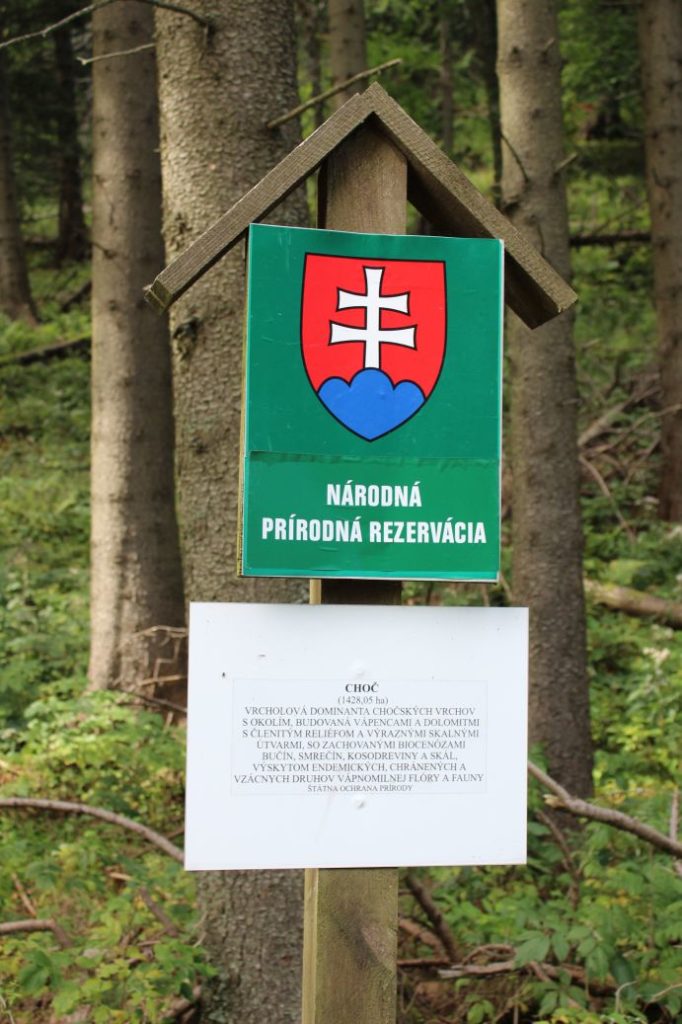
– The route passes through the Choč National Nature Reserve.
– In the woods, behave in the way that will not disturb its inhabitants, do not damage anything, do not pick anything or leave anything in the woods.
– Before entering the spa complex, you can make a detour to a boar pen, it takes approximately 20 minutes in total, there and back.
– At the end of the route, there is a grocery store and a refreshment establishment.
– In the apiary complex, they organize regular guided tours.
– In the spa complex, you will find a restaurant / pizzeria and a shop with traditional spa wafers.
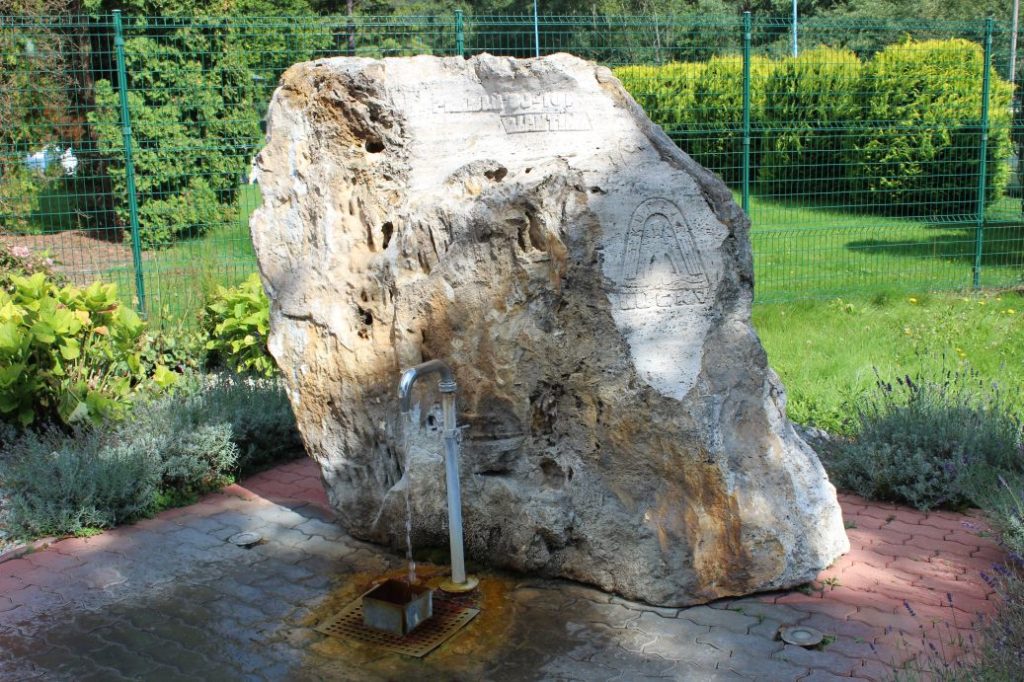
– In the spa complex, there is a freely accessible mineral spring called Valentína.
– In the village of Lúčky, in the vicinity of the trail, there is a natural monument of Lúčky Travertines.
– For the collectors, the Information Centre in Ružomberok offers a tourist sticker of Great Choč, Lúčky Waterfall, Lúčky Spa and Lúčky Travertines.
– You can also buy magnets of the Lúčky Waterfall.

