Ružomberok - Sidorovo - Malinô Brdo
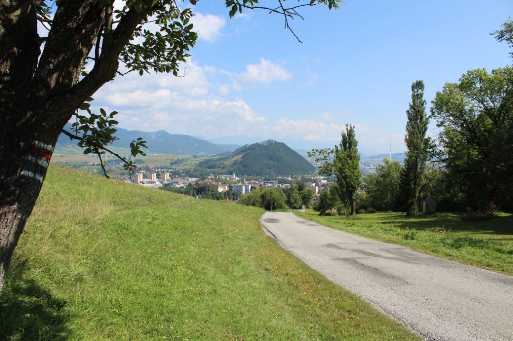
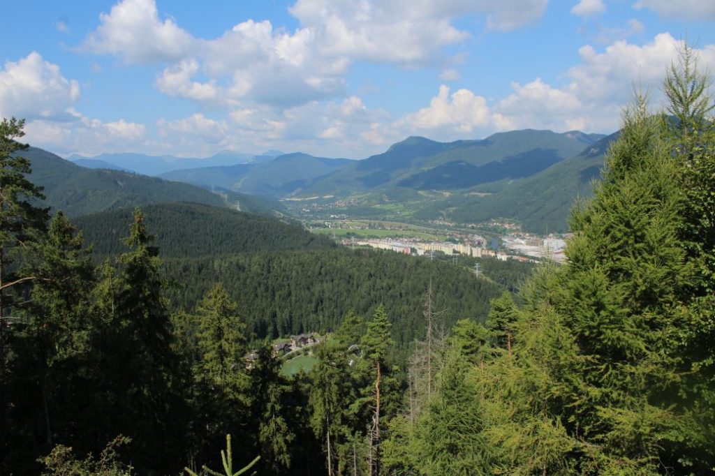
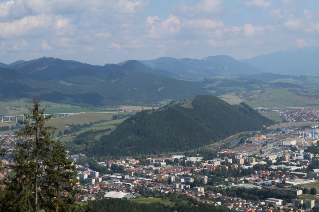
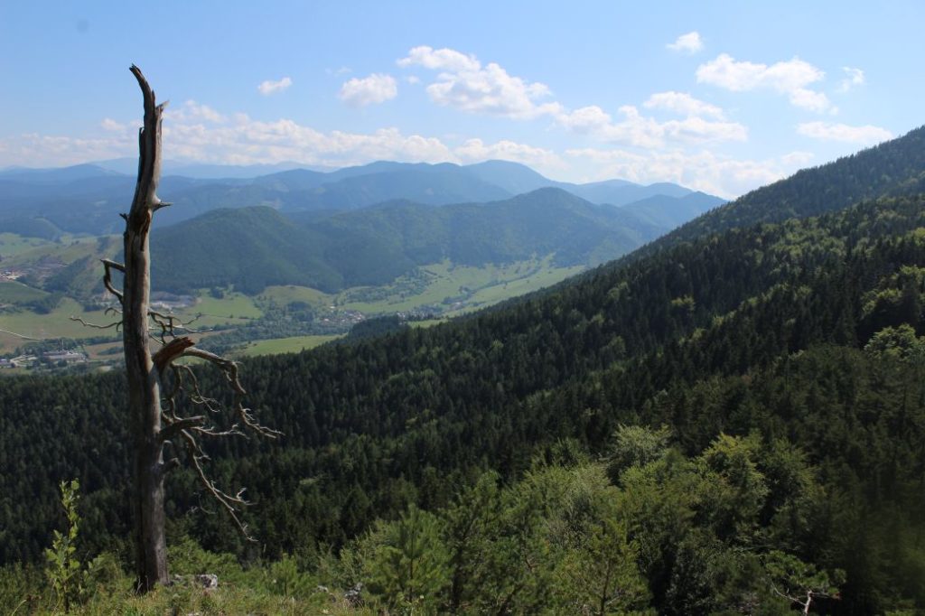
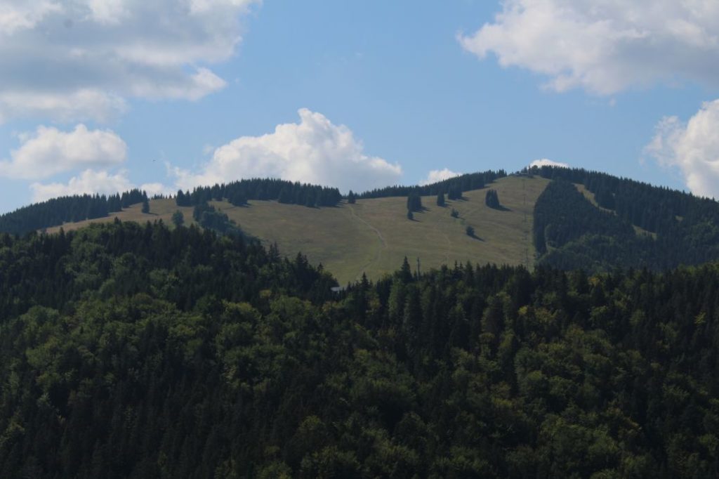
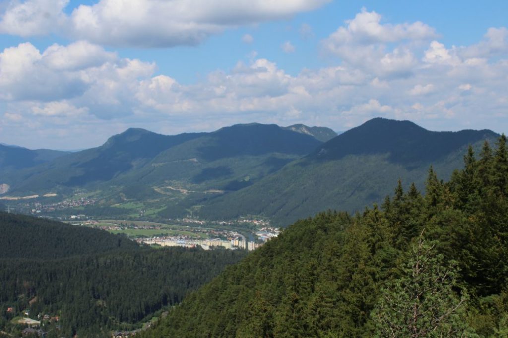
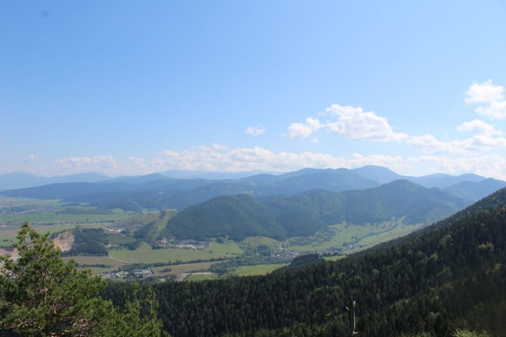
The trail running from the centre of Ružomberok, through Ružomberok’s Calvary and the ridge of Sidorovo, to ski resort Malinô Brdo. The route passes through places with interesting views and it connects frequently visited locations which belong directly to the town of Ružomberok. The route, which is visited all year round, offers nice views of the town of Ružomberok, of the Liptov Basin, the West Tatras, a part of the Choč Mountains, the Low Tatras, the Great Fatra and the Small Fatra.
Number of the route: 0856
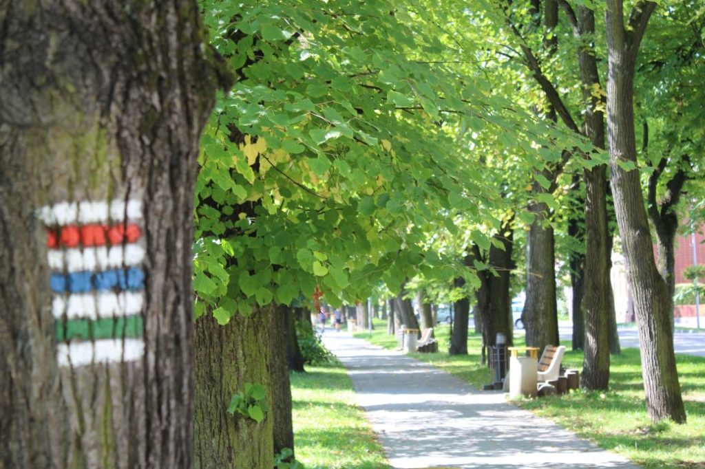
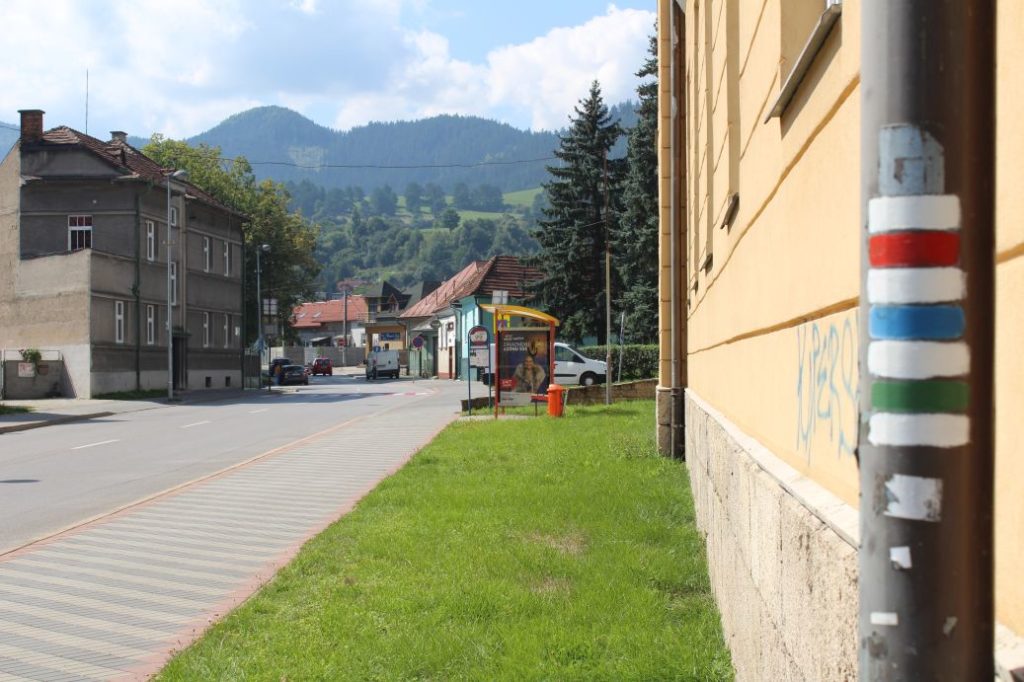
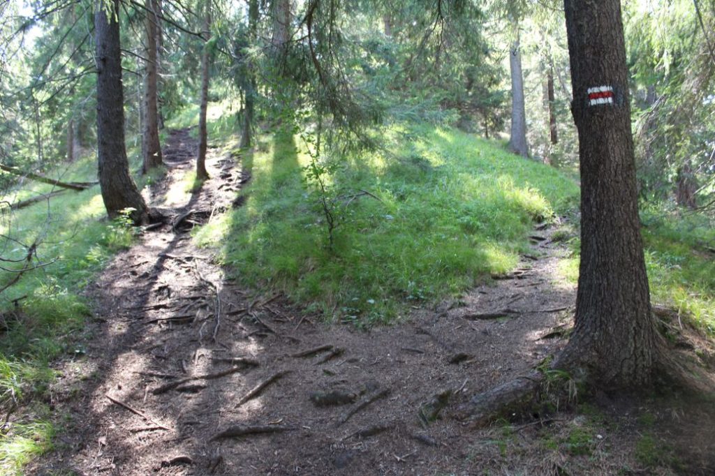
Colour: Red
Length of the route: 7.3 km
Vertical distance: Ascent: approx. 760 m / Descent: 335 m
Time of completion: 3:10 hours
Reference points for orientation:
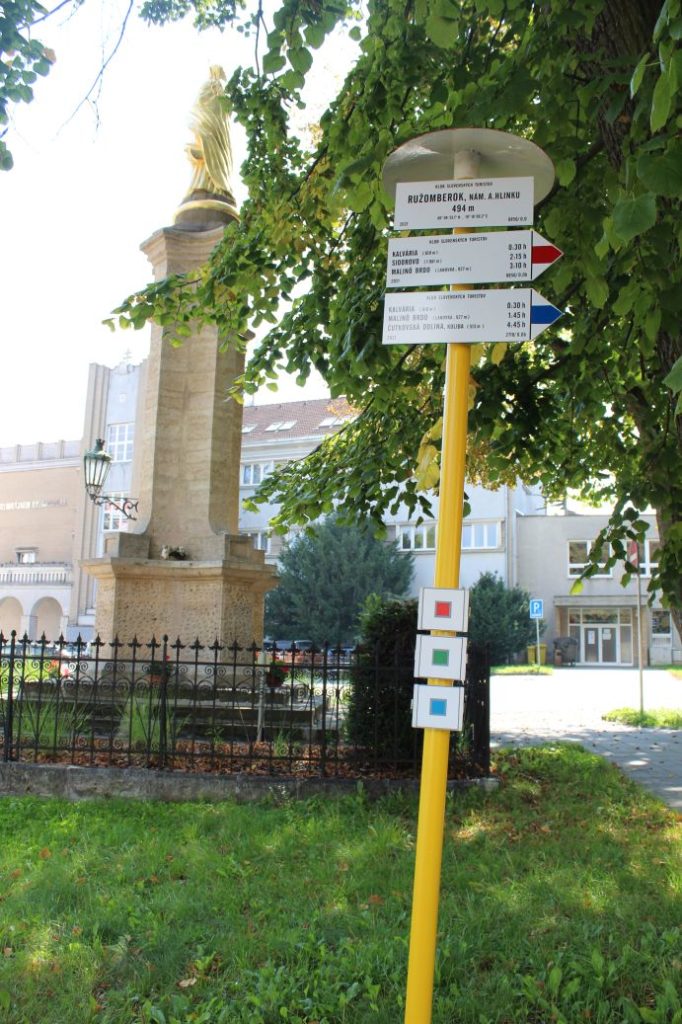
1. Ružomberok, A. Hlinka Square 494 m
2. Calvary 610 m
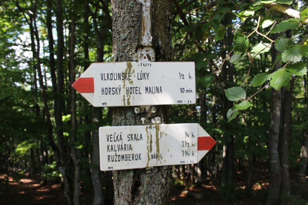
3. Sidorovo (old ČSZTV marks from 1975 in the section leading to the peak)
4. Sidorovo 1099 m
5. Sedlo pod Sidorovom (Notch below Sidorovo) 865 m
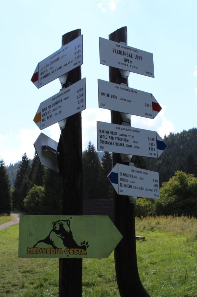
6. Vlkolínske Lúky (Vlkolínec Meadows) 819 m
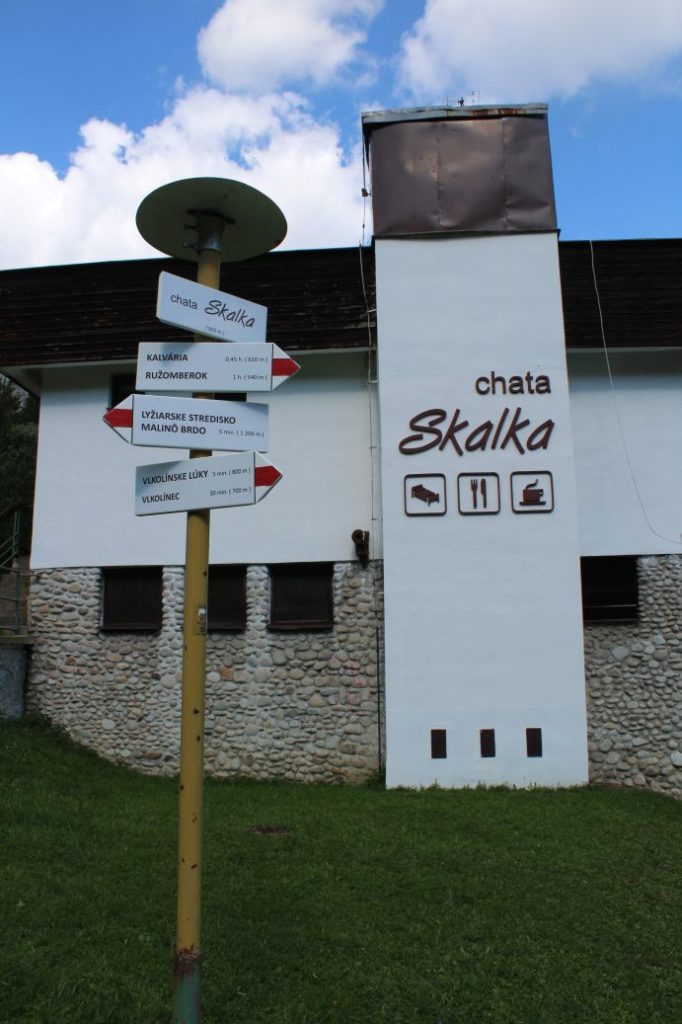
7. Cabin “Chata Skalka” 860 m (non-standard marking near the cabin resembling the official marking)
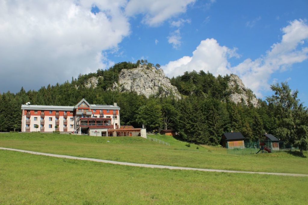
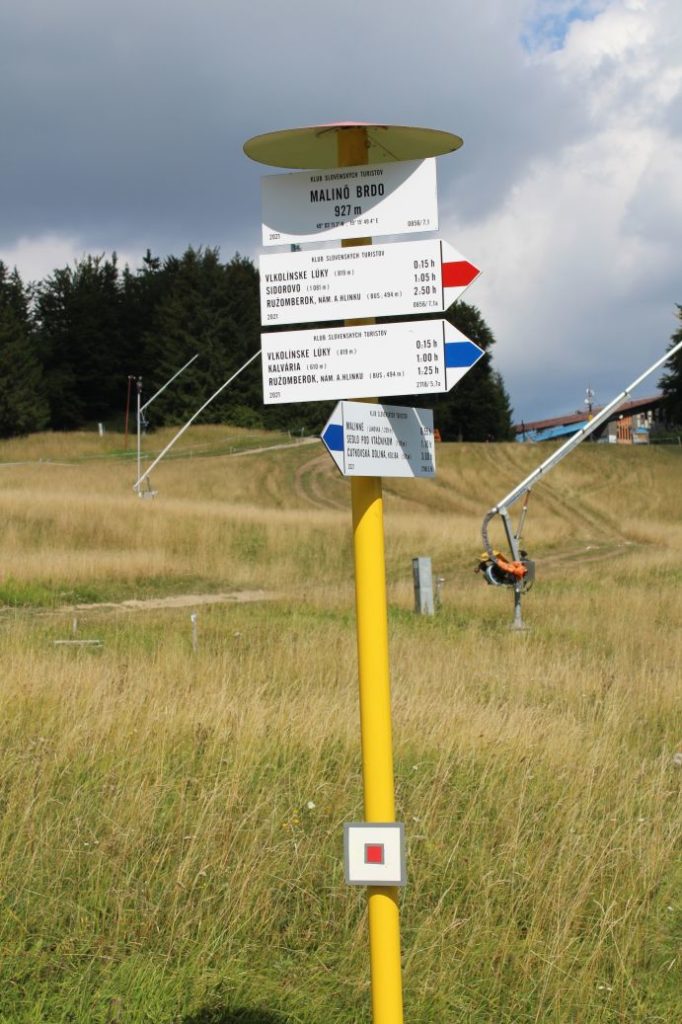
8. Malinô Brdo 927 m
Route description:
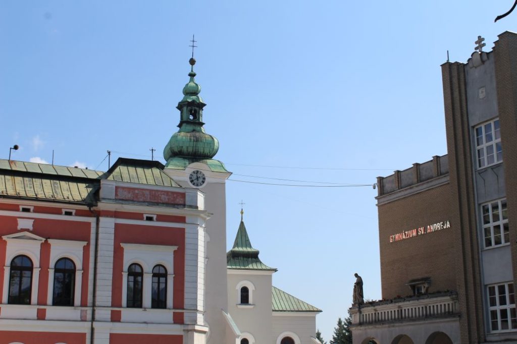
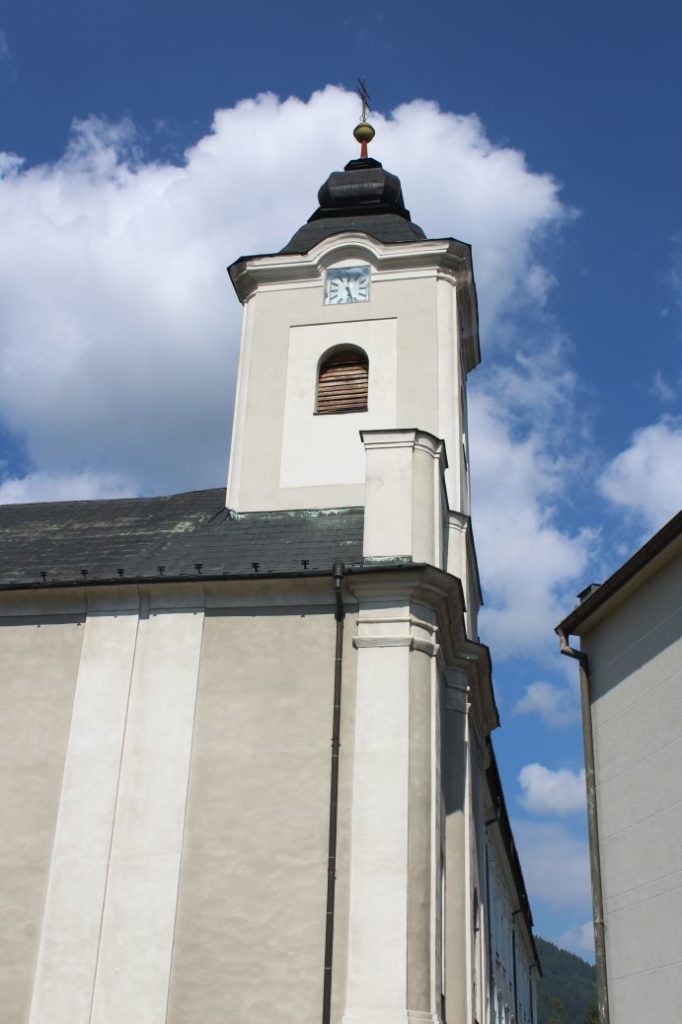
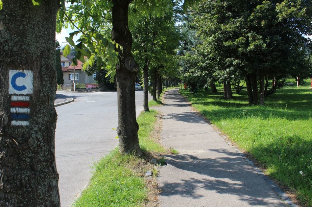
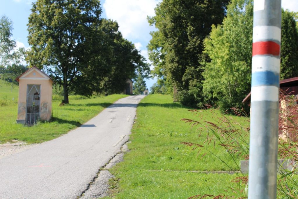
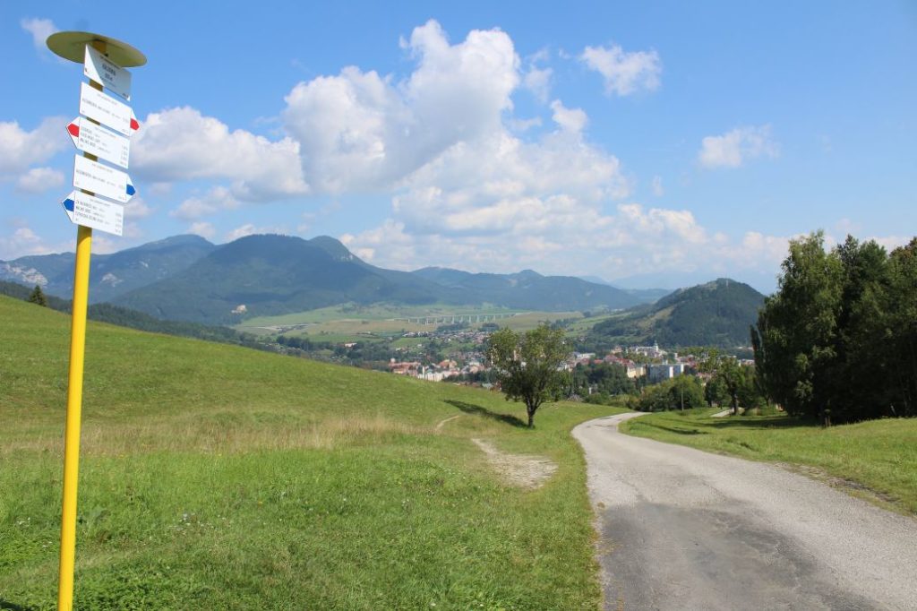
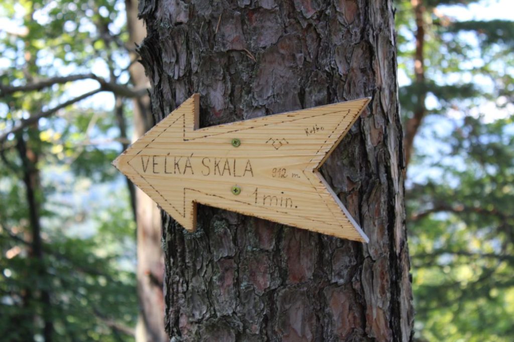
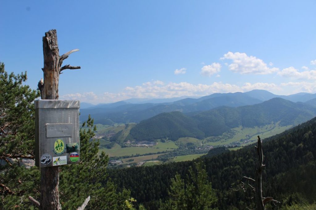
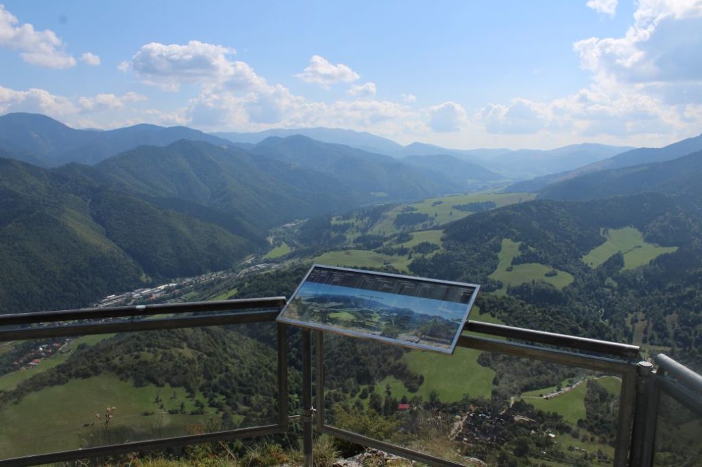
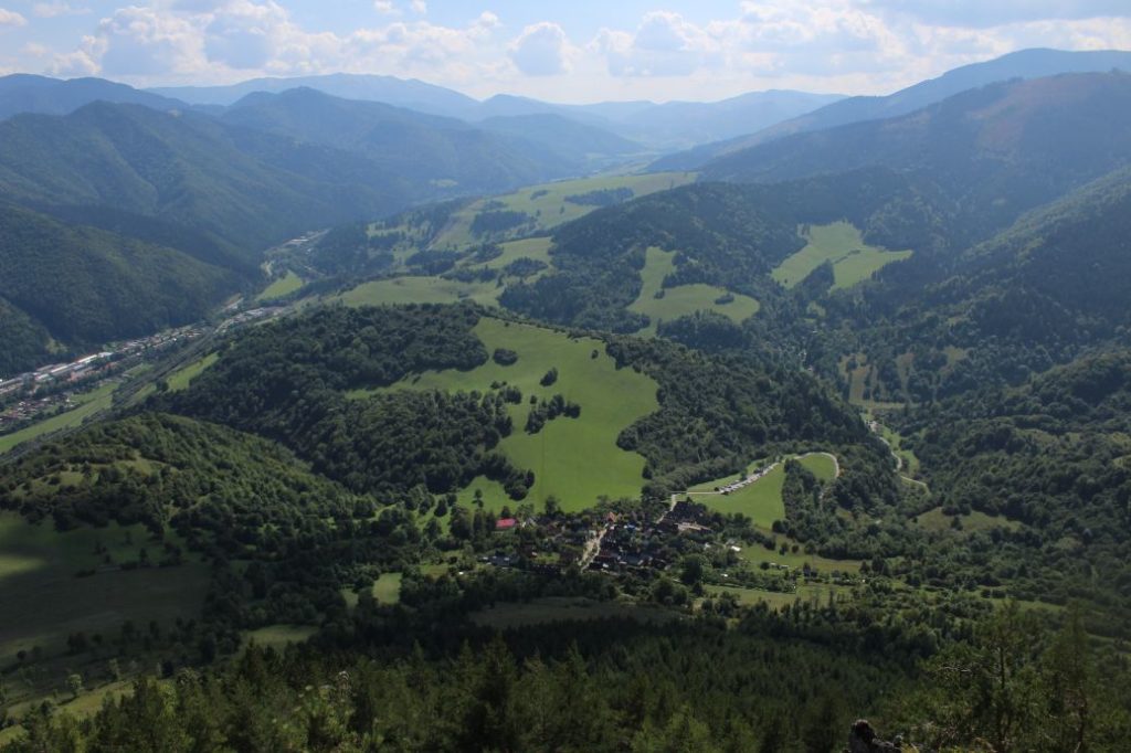
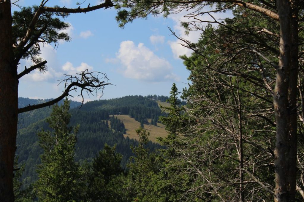
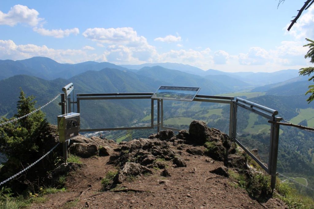
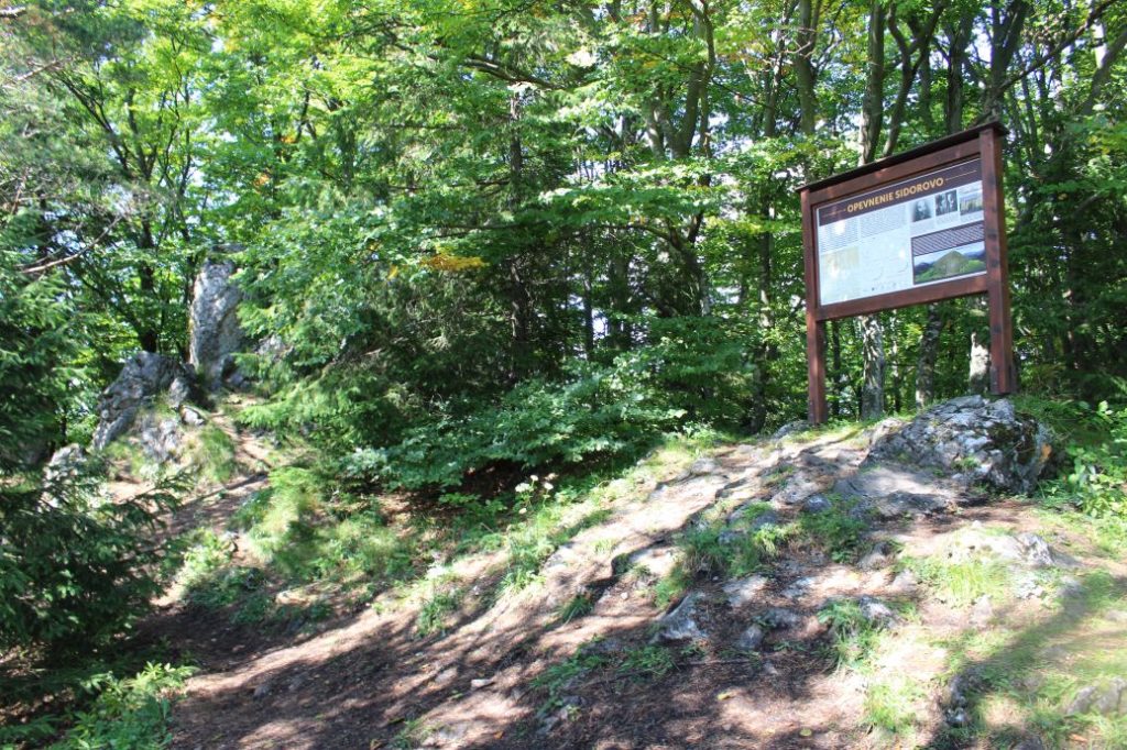
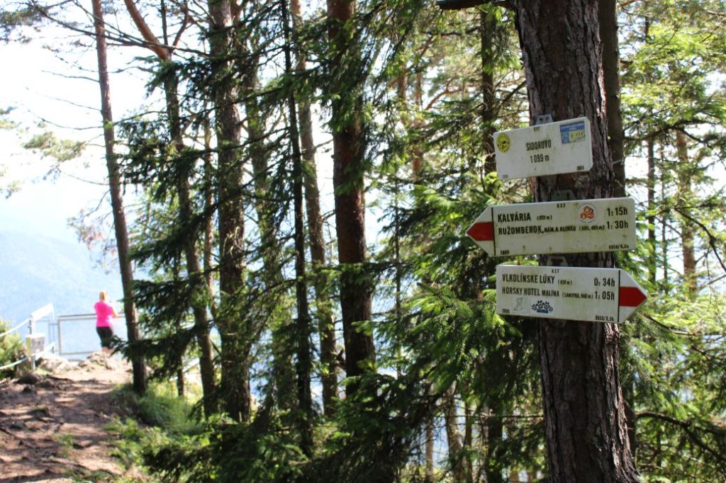
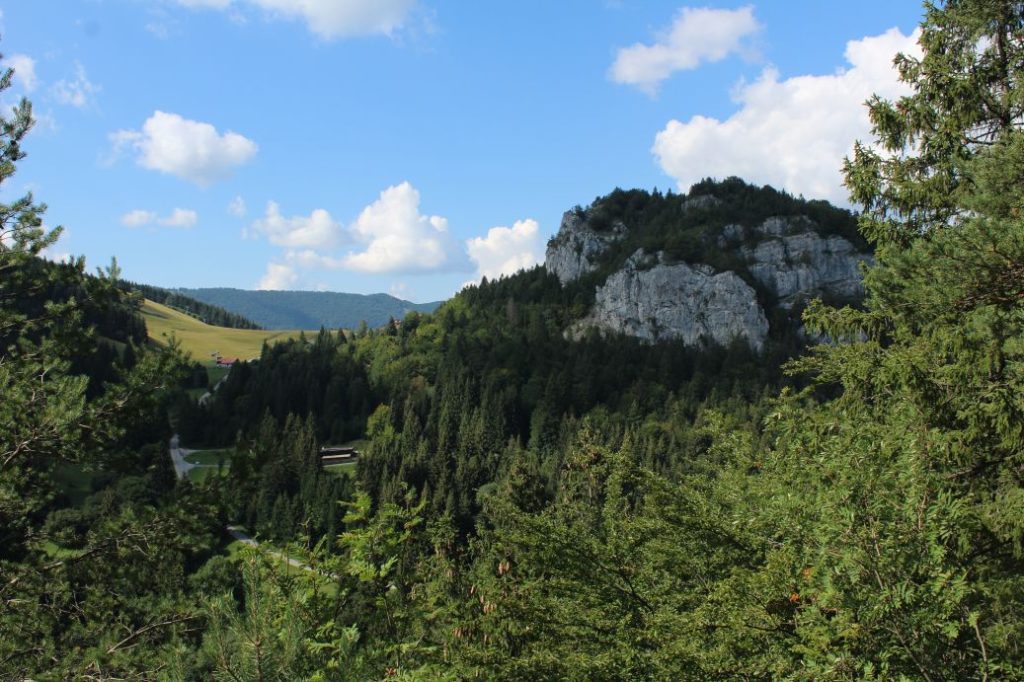
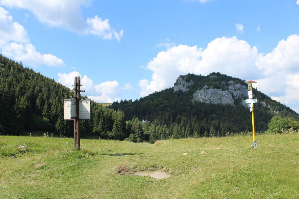
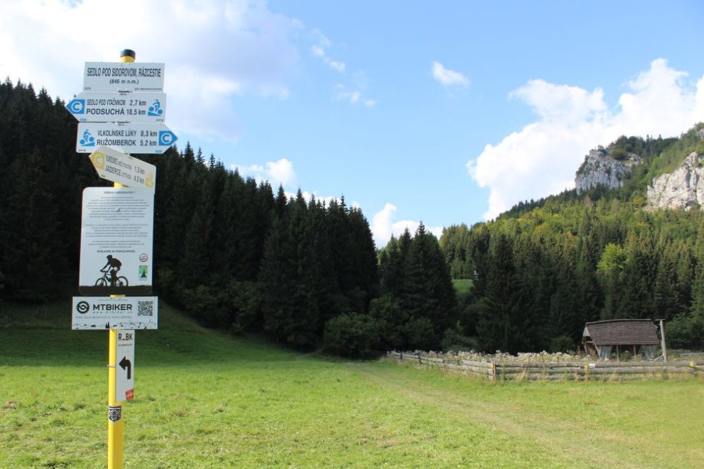
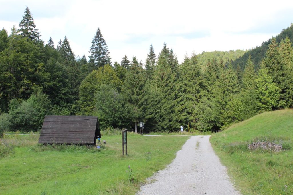
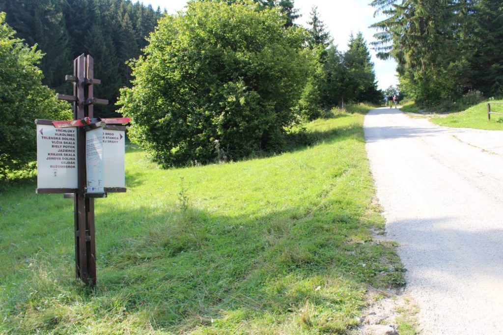
The route begins in the centre of Ružomberok, at Andrej Hlinka Square, by the Marian Column in front of Ružomberok’s Town Hall. Together with the blue and the green marked trails, it runs through the historic square on a path through the protected tree alley, to the opposite end of the square to the former Piarist complex (a monastery, a school and a church), passing by the complex from the left. At the nearest intersection, the green trail disconnects. After a few meters, a blue bike trail joins the route, which, together with the blue hiking trail, leads us to the beginning of Ružomberok’s Calvary, where we see an educational panel about Ružomberok’s Calvary. The route continues steeply uphill in between the chapels of the Calvary and past the church, to the signpost at the Calvary. Situated here is a sitting area and an information panel about the attractions in the town, including panorama and description. On the other side of the panel, you can find a map of the closer and wider surroundings. From the Calvary, you get a lovely view of Ružomberok with peak Mních rising above the town, the Likava Castle, the Choč Mountains and a part of the West Tatras. At the signpost, the route disconnects from the blue-marked hiking trail and bike trail, and continues on a meadow to the left of the road. It passes by a growth-covered hill, which is a former landing platform of a jumping ramp. At this place, there is a sitting area and you will get a view of Ružomberok’s district Klačno and the Small Fatra in the background. The route continues to a meadow ridge leading towards a wooded area. Here, you get a view of Ružomberok, the Liptov Basin, the Low Tatras, the Choč Mountains and the west Tatras with a part of the High Tatras. The route enters the wooded area and continues to a place where there used to be a jumping ramp, and what is left of it are only the concrete abutments in the ground and the referee’s tower. The trail leads us through the woods, continuously uphill, to clearings which reveal more views of the surroundings. We can see a part of the Small Fatra and the Great Fatra, the Low Tatras and the West Tatras, the Choč Mountains or the ski run at Maliné, Hrabovo, the town of Ružomberok and the Liptov Basin. The route continues further on the wooded ridge. At the place where we descend to a small notch and the path starts to run uphill again, you need to be careful to not let the trodden path lead you astray below the ridge, but to stay on the ridge. The wood path will lead us to a rock. At this place, the path runs off the ridge to the left and passes under the rocky cliff situated on the ridge. You can make a detour to the cliff, called “Veľká Skala”, which takes less than a minute of walking. The circular view from “Veľká Skala” is worth it, as it is perhaps the most beautiful view of the entire route. At the peak, you will also find a hikers’ book, in which you can sign your name or check who had visited the peak before you. After a short downhill section, the ridge begins to run uphill again and the trail slowly leads us to a place where there is a path turning away from the ridge, downhill to the left. However, we will not be led astray and we will continue on the ridge. A little bit further ahead, the ridge becomes wider and the path runs slightly to the right and after a while it curves back to the ridge, and from there it is only a few final metres to the peak. In the vicinity of the peak, we may notice old direction signs from 1975 behind a tree, which have still remained here after so many years. At the peak of Sidorovo, there is an information panel about the hill fort that was situated here in the past, and in the southern part, you will find a viewpoint terrace with a panorama panel and a hikers’ book. The viewpoint offers a view particularly to the south, of a part of the Great Fatra and the Low Tatras. However, the most interesting view is the one of the village of Vlkolínec, which was included in the UNESCO List of World Cultural Heritage in 1993 for its preservation of the original wooden log houses. The descent from the peak consists of steep and rocky downhill terrain, where you often need to use your hands to hold onto rocks or trees. The surface is often smoothed out and there are protruding roots. The descent is not long, but you need to be careful about choosing where to step and it is better to take your time. During your descent, you may notice numerous rocky cliffs, especially to your left. In the final section of the descent, we arrive at a viewpoint with a view of rocky cliff Haliny, where the trail makes a sharp left turn and after a few metres of running steeply downhill, it exits the woods onto a meadow. On the meadow, there is a signpost, at which we turn right and walk down the hill along the yellow hiking trail and bike trail, to a path by a small farm, where the yellow bike trail ends and a blue bike trail joins us. On the path, we turn right again and walk down to the signpost at Vlkolínske Lúky (Vlkolínec Meadows). Here, you will find a wooden shelter with a sitting area and an educational panel of educational trail “Medvedia Cesta” (The Bear’s Path). At the signpost, we leave behind the trails which joined us earlier and we continue together with the blue hiking trail to the left, to an asphalt road. The road leads us continuously uphill, past cabin Chata Skalka, at which we can see non-standard marking similar to the official hiking marks, all the way to the end of the route in Malinô Brdo resort.
Safety:
The route includes several steep uphill and downhill sections, which are slippery in damp as well as dry weather. The most dangerous section is the one where we descend from Sidorovo in the direction to notch Sedlo pod Sidorovom, where the path is very steep and runs on rocky, gravel terrain with muddy sections with a lot of slippery roots. The viewpoint at the top of Sidorovo is secured with chains and metal railing, unlike the viewpoint at Veľká Skala, which is not secured at all. We recommend using hiking poles and high-quality anti-slip footwear. For safety reasons, we do not recommend bringing along children under the age of 10, older children will also need assistance, especially on the way down. The route is also not suitable for persons with reduced mobility.
Marking on the route:
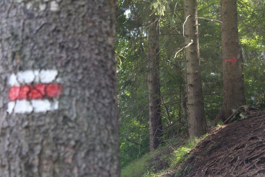
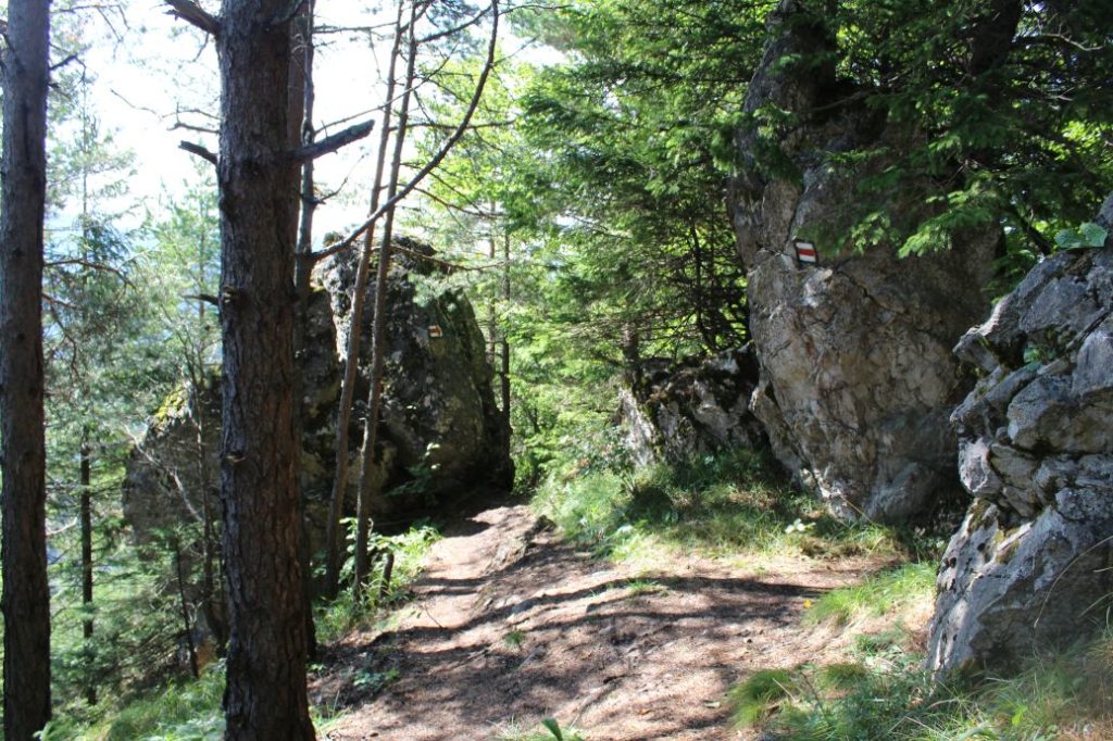
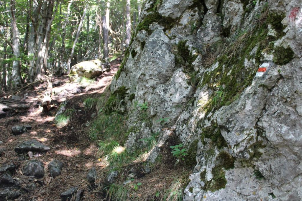
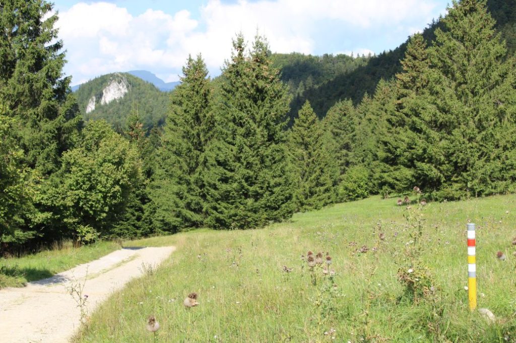
The marking of the route is not sufficient, you often need to pay increased attention and look for the marks, especially at places with thick growth. The initial section of the route through the town is marked sufficiently up to Ružomberok’s Calvary, where we move to a meadow. The marking from the Calvary to the wooded area is insufficient especially on the way back. The marking in the wooded area is a bit sparse, but the distinct well-trodden path in the terrain will lead us in the correct direction all the way to the peak of Sidorovo. On the way down, the marking in the woods is a bit sparse as well and there are several trodden trails, fortunately, they all eventually connect and lead us where we want to go, to notch Sedlo pod Sidorovom. The marking in the section from notch Sedlo pod Sidorovom back to the wooded area is also insufficient, especially when the grass grows tall and covers the path. The rest of the route all the way to the end is marked sufficiently.
Notes:
– The trail is accessible all year round.
– The route as a whole is not suitable for children and for beginners.
– Passing of the route in the opposite direction takes approximately 2:50 hours.
– At the beginning of the route, there is a map of the Great Fatra National Park.
– There is a parking lot at the beginning of the route.
– Situated near the beginning of the route is a grocery store, restaurants, refreshment establishments and an accommodation facility.
– There are buses of the Ružomberok’s public transport system running to the beginning of the route.
– At the end of the route, there is a restaurant and a refreshment establishment.
– In the vicinity of the end of the route, you will find the top station of a cable car lift.
– There are no man-altered springs with potable water located on the route.
The route was reviewed in September 2021.

