Podsuchá - Šiprúň - Černová
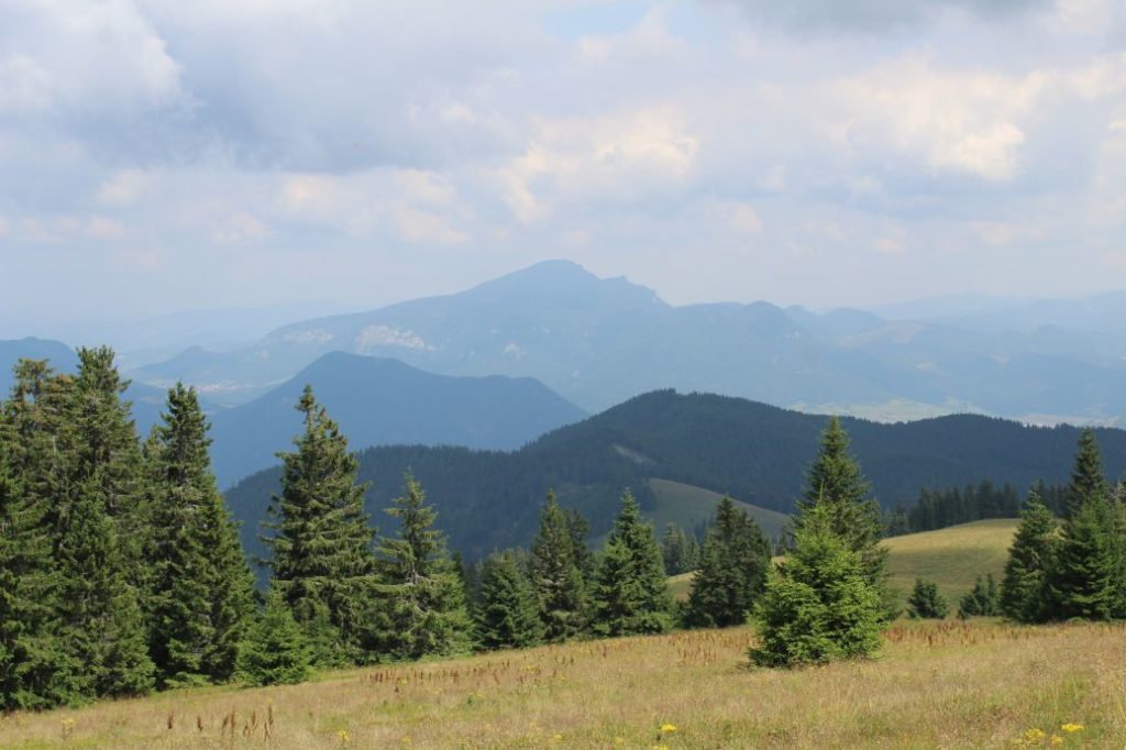
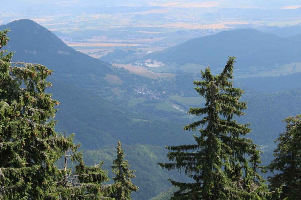
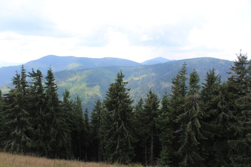
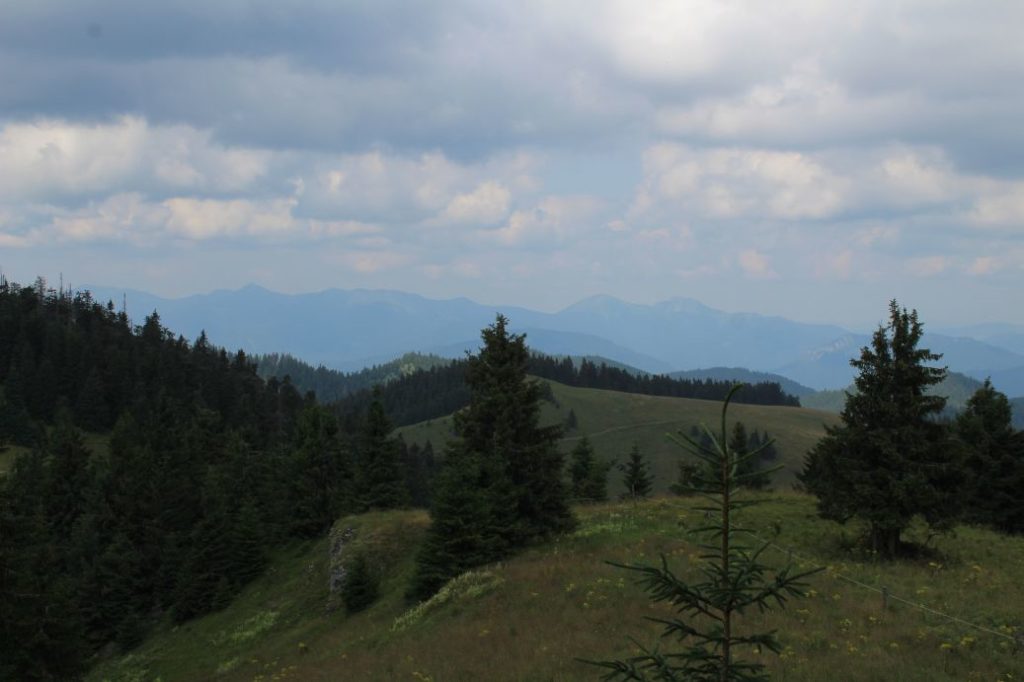
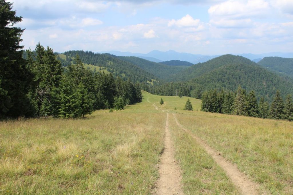
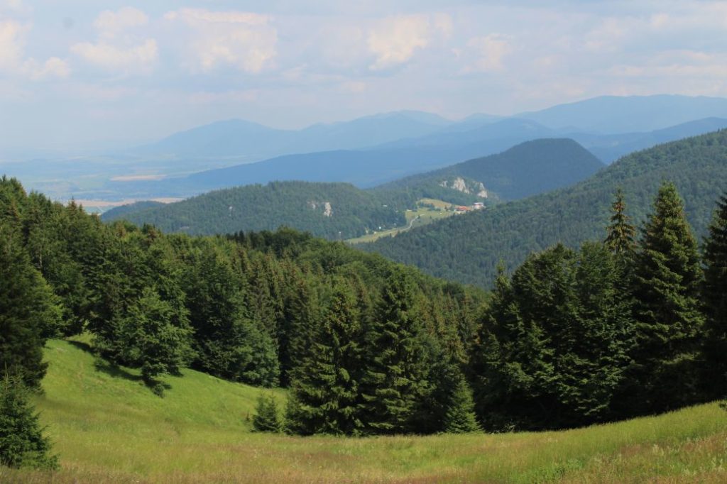
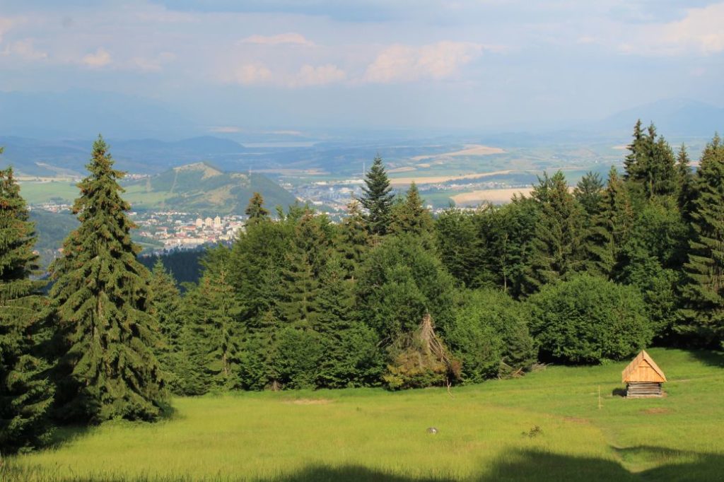
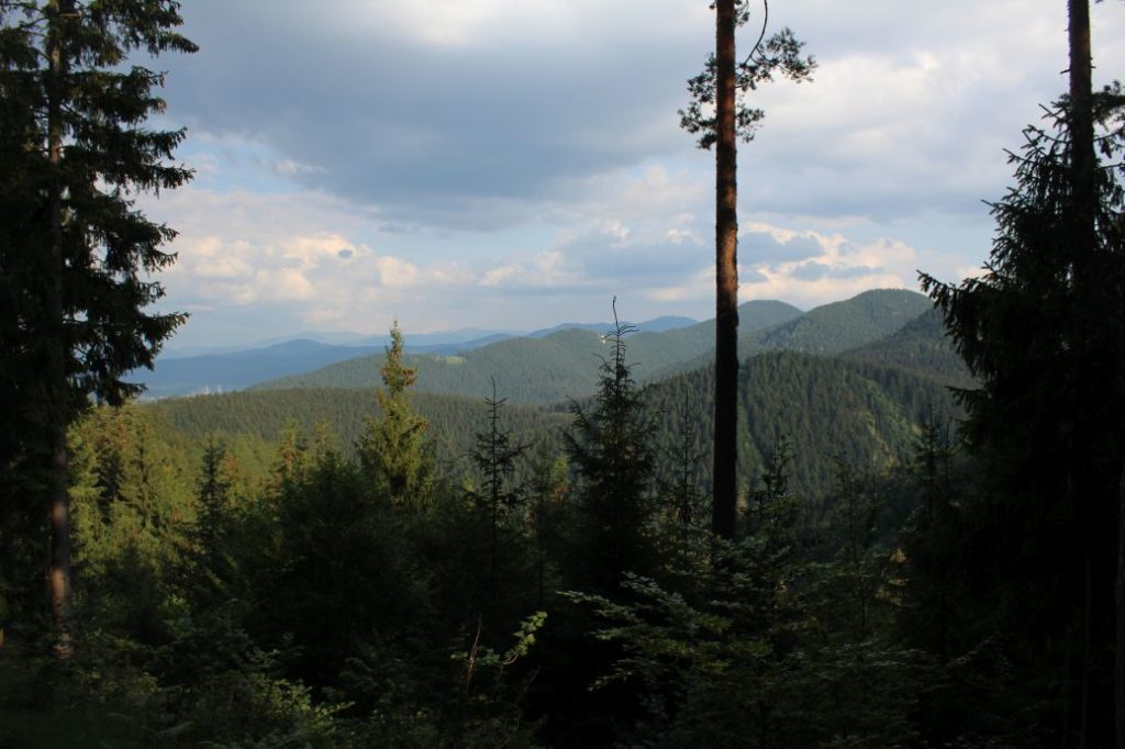
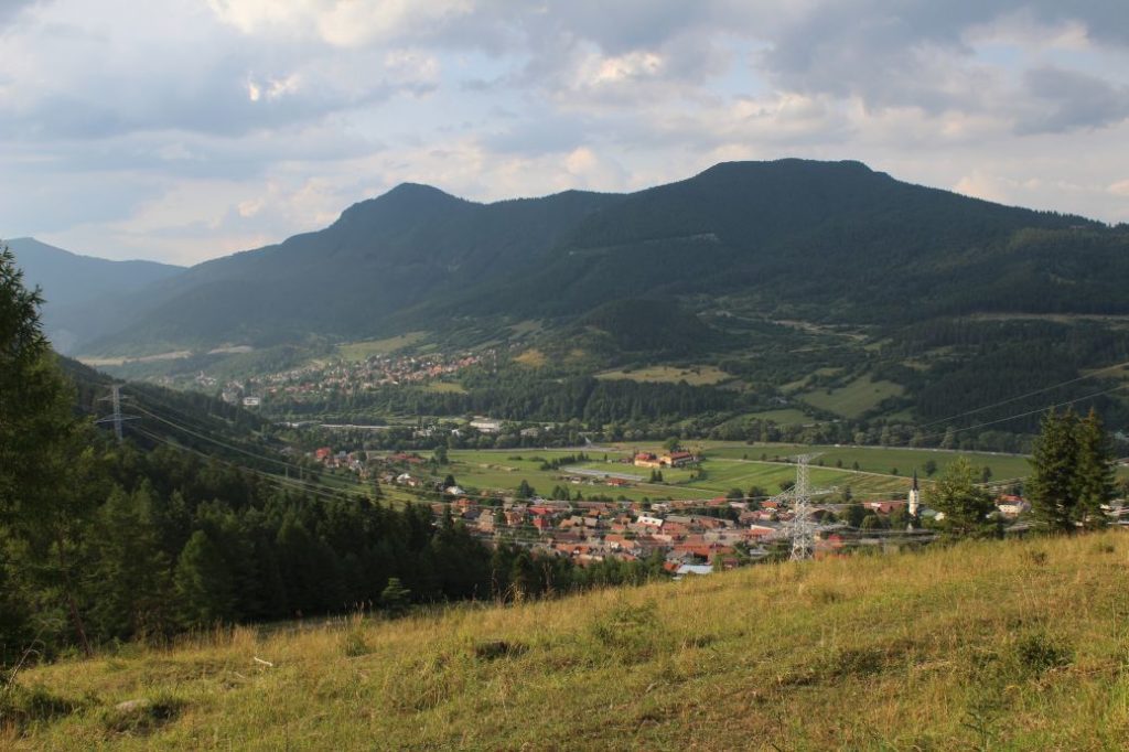
A trail running from Podsuchá, through the valley of Nižné Matejkovo, to the notches of Šiprúň, with a detour to Šiprúň. It continues through Chabzdová to Tlstá Hora (Krstá Hora) and runs down to Nová Černová. The route is interesting in particular for the visitors who like places where they will not meet crowds of people. It runs through a long mountain valley, a thick wooded area of primary forest nature, mountain meadows and a meadow high plain. The route does not have views all the way, but one section is full of views of the Small Fatra, the Choč Mountains, the Low Tatras, the West Tatras, the High Tatras and the Liptov Basin.
Number of the route: 0857
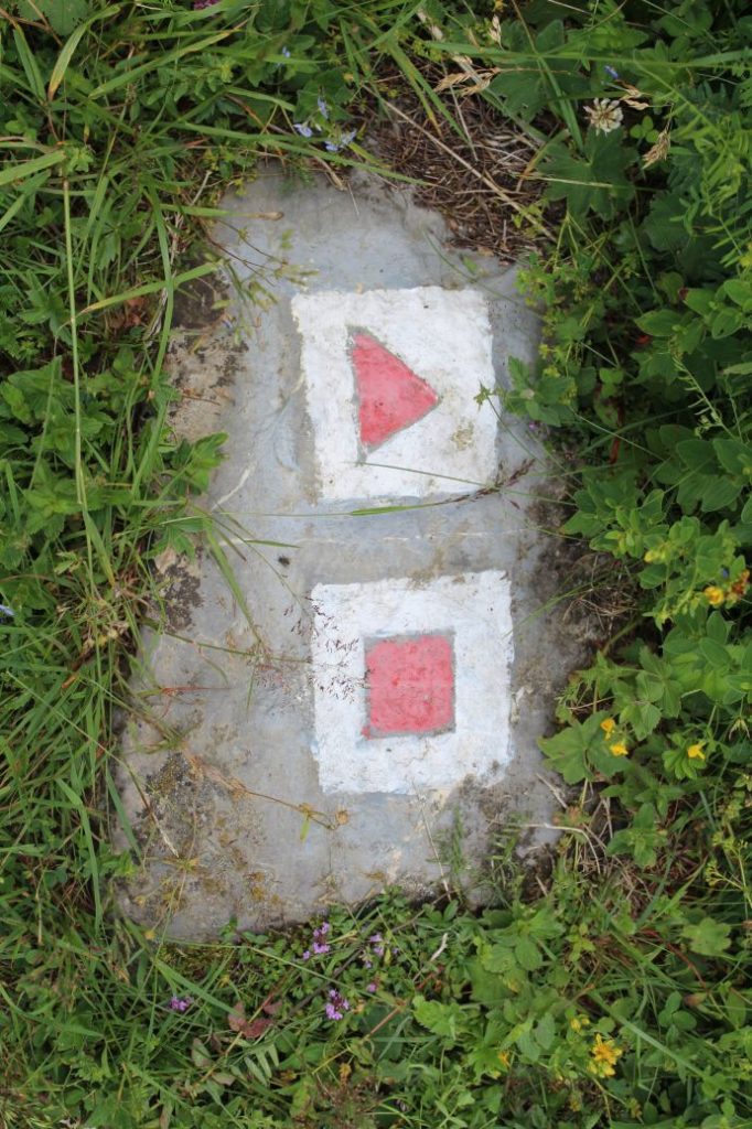
Colour: Red
Length of the route: 19.7 km + 1 km detour to Šiprúň (there and back)
Vertical distance: Ascent: approx. 1065 m / Descent: 1165 m
Time of completion: 6:30 hours + 0:25 hours detour to Šiprúň (there and back)
Reference points for orientation:
1. Podsuchá 560 m
2. Šiprúň (non-standard marking)
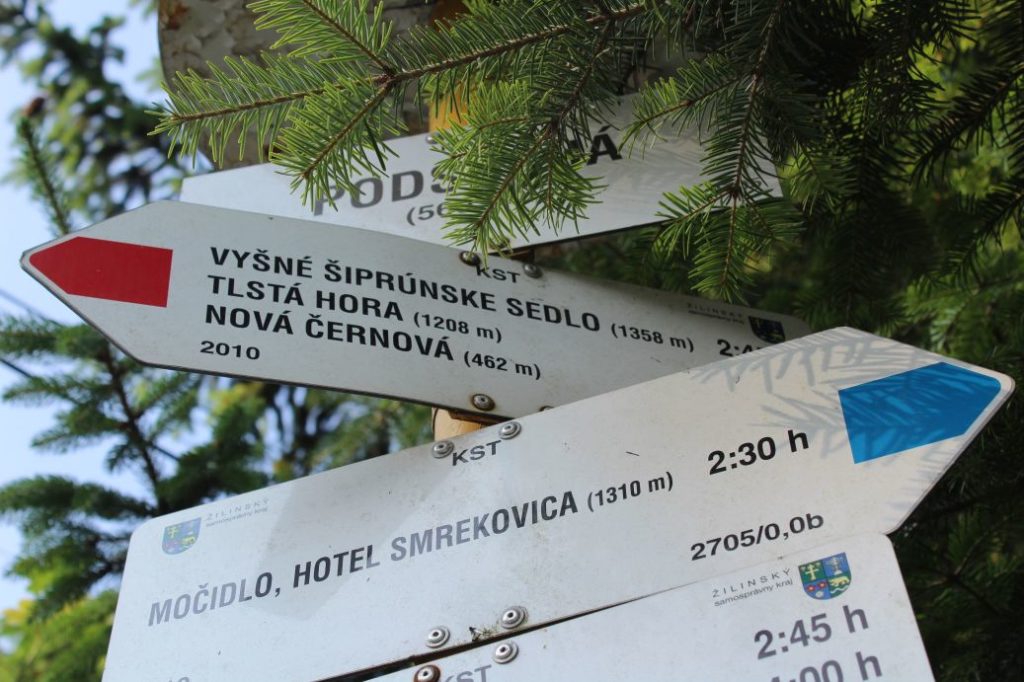
3. Vyšné Šiprúnske Sedlo (upper Šiprúň notch) (1358 m)
4. Nižné Šiprúnske Sedlo (lower Šiprúň notch) (1327 m)
5. Chabzdová (Maďarovo) (1180 m)
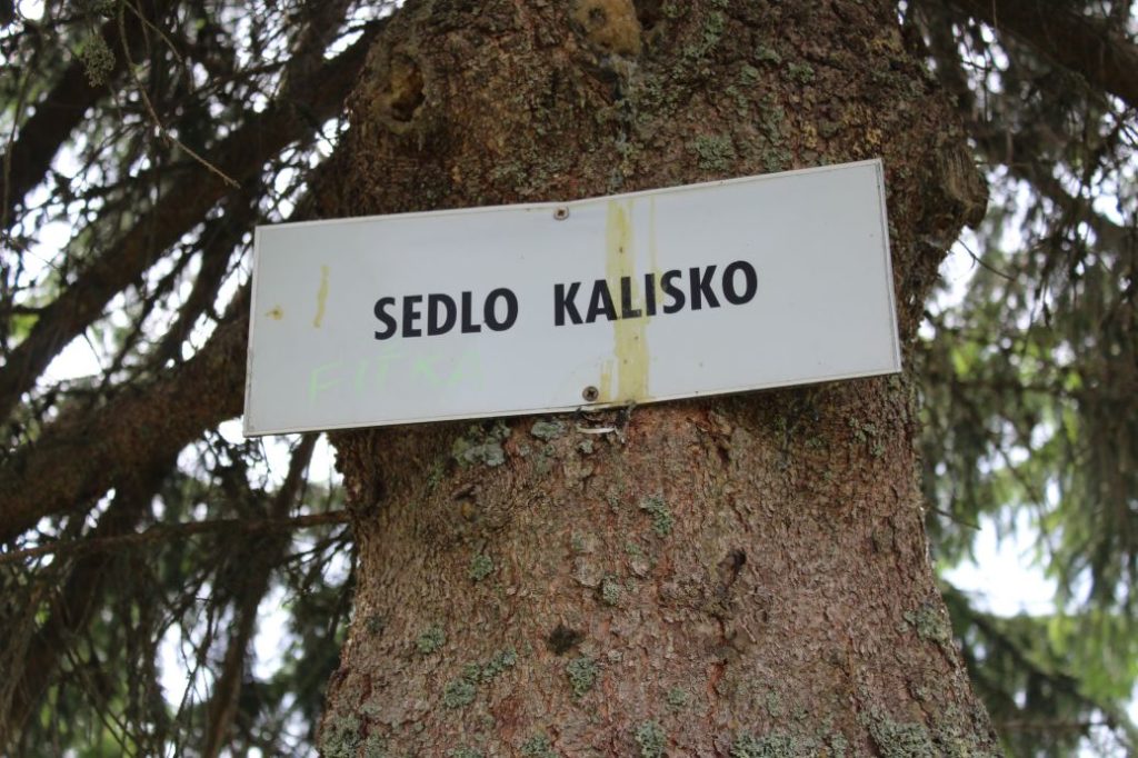
6. notch Kalisko (non-standard marking)
7. Tlstá Hora (Krstá Hora) (1208 m)
8. Roveň (non-standard marking)
9. Nová Černová (462 m)
Route description:
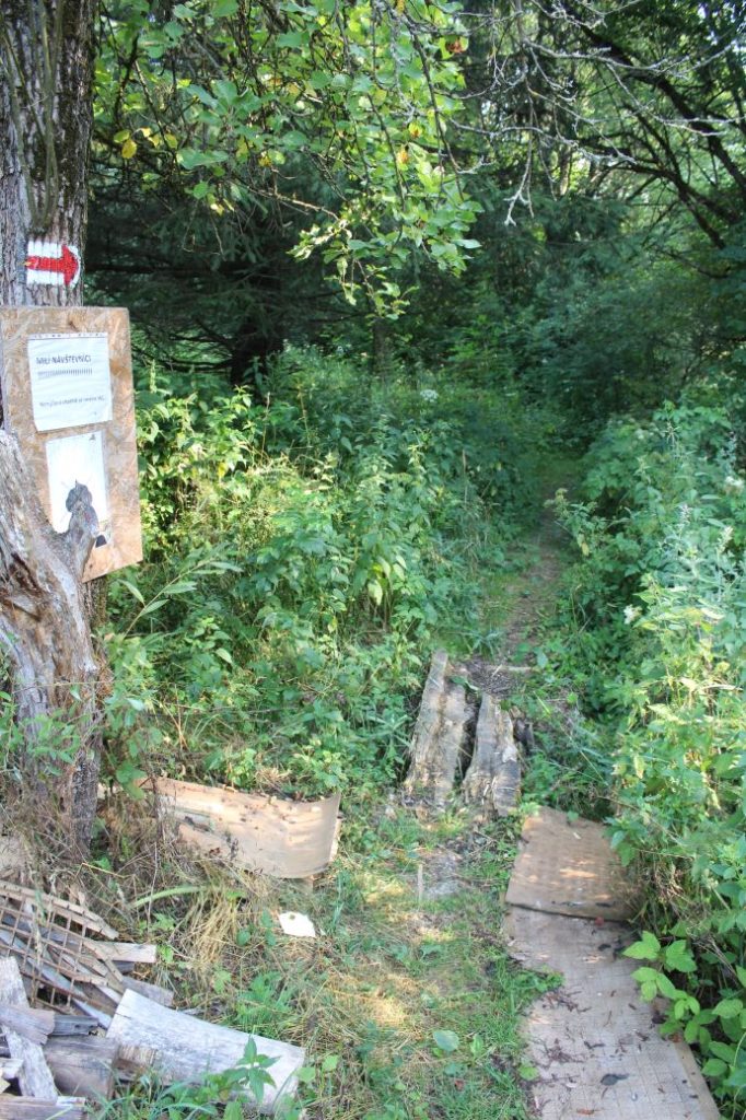
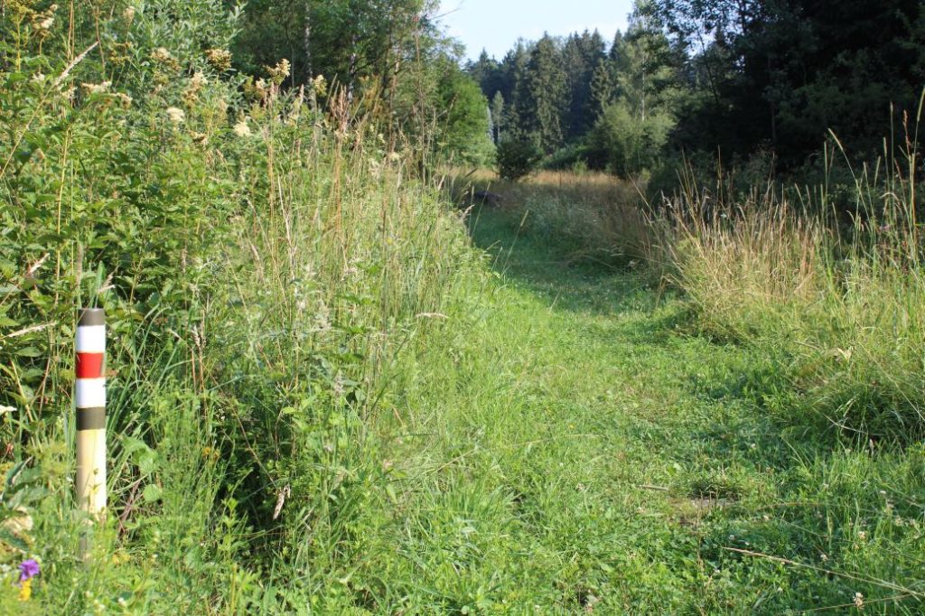
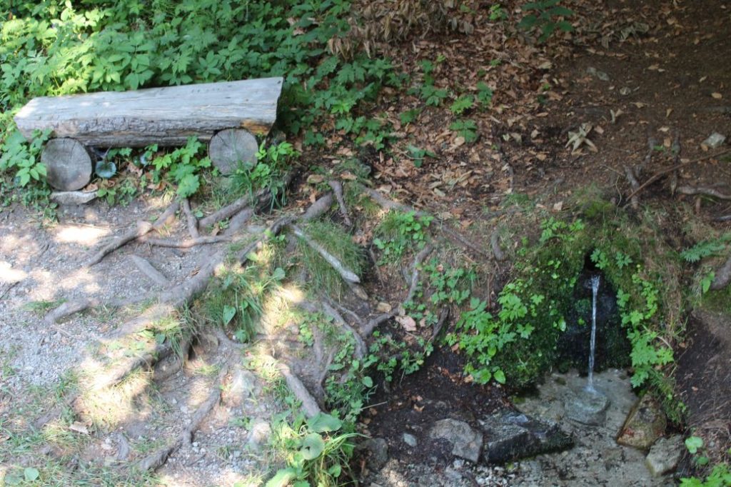
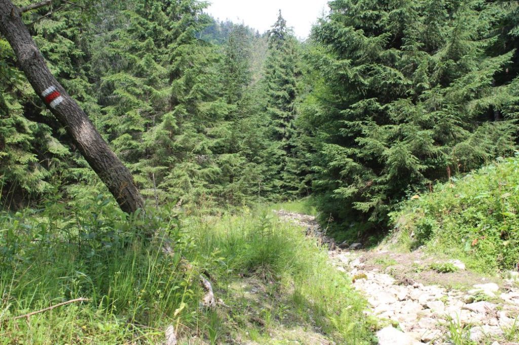
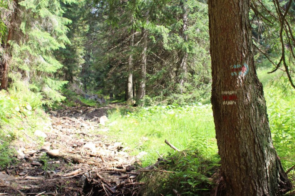
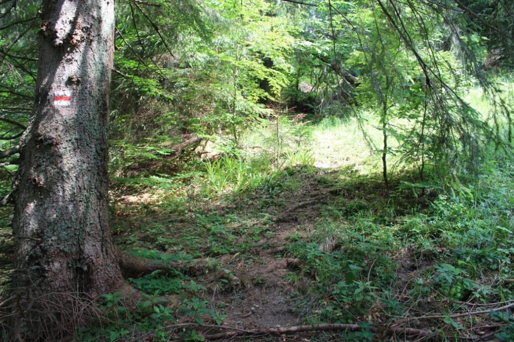
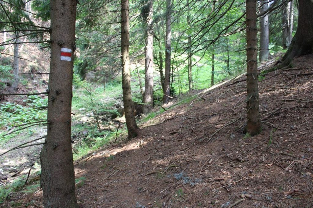
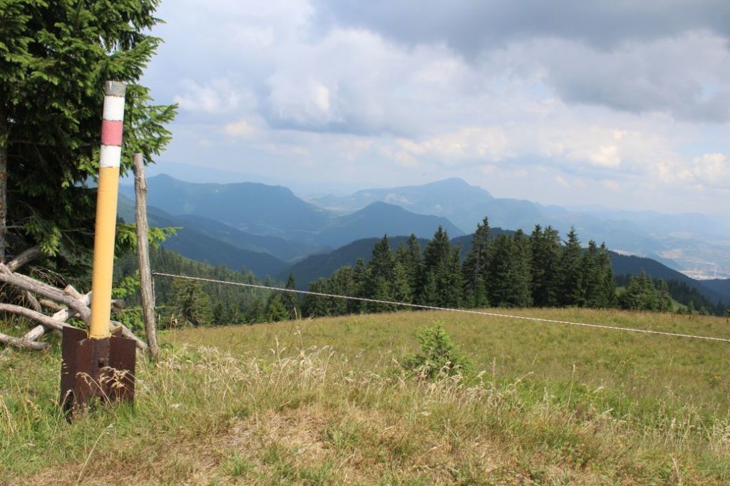
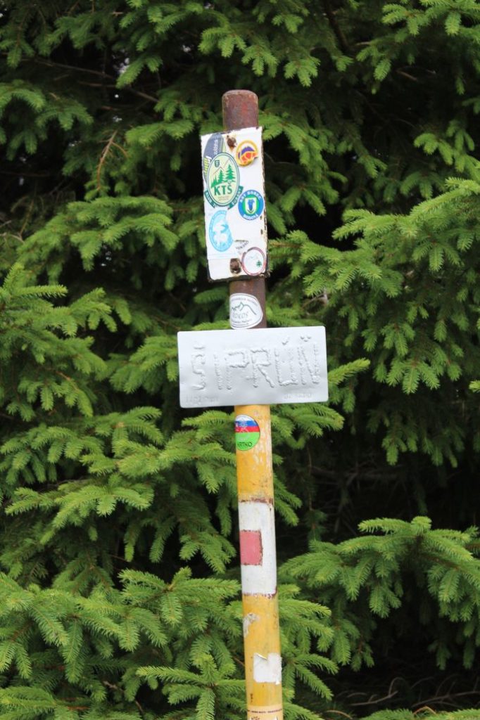
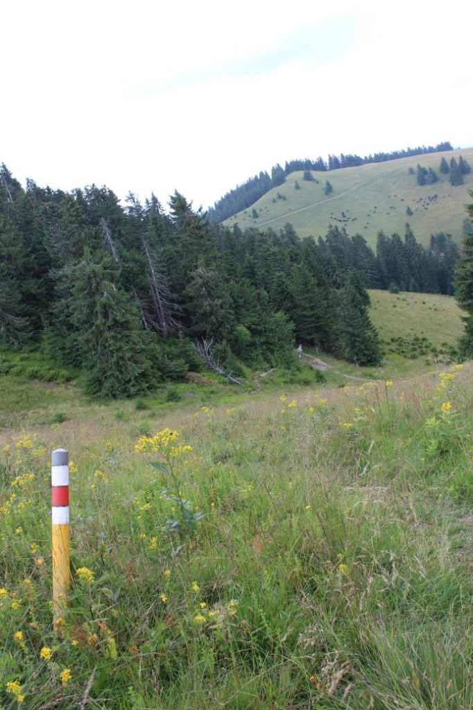
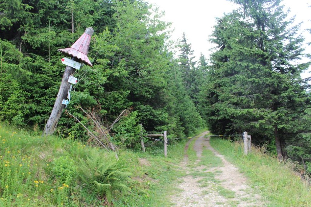
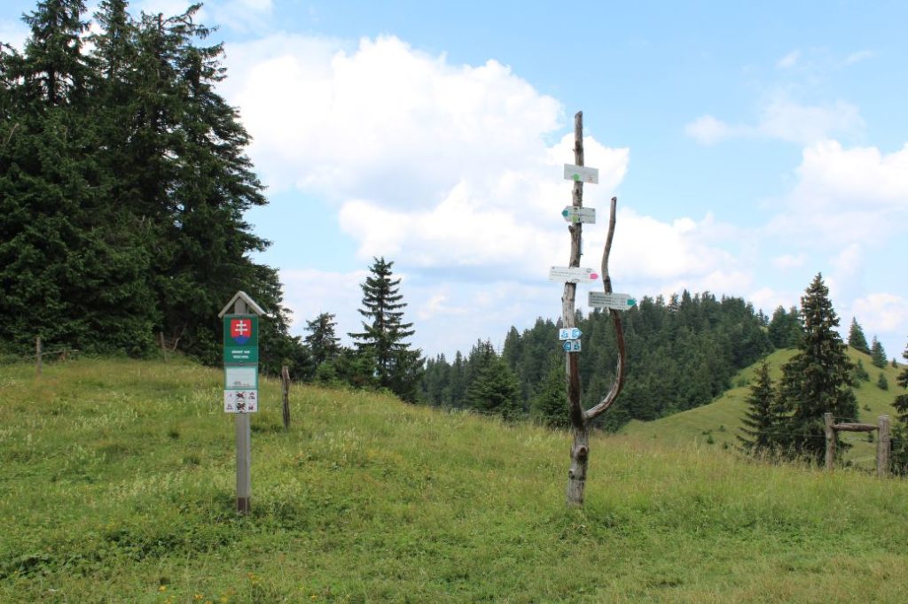
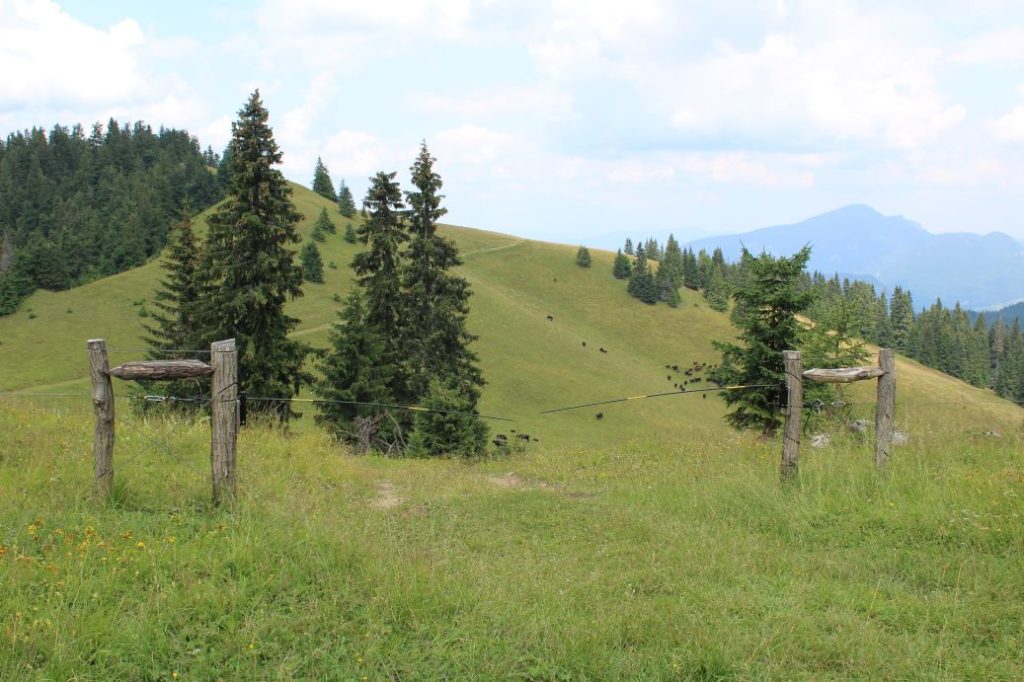
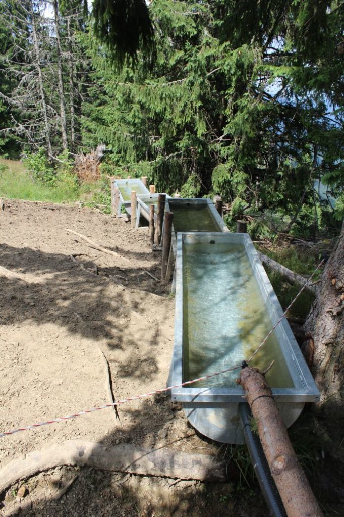
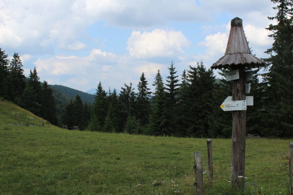
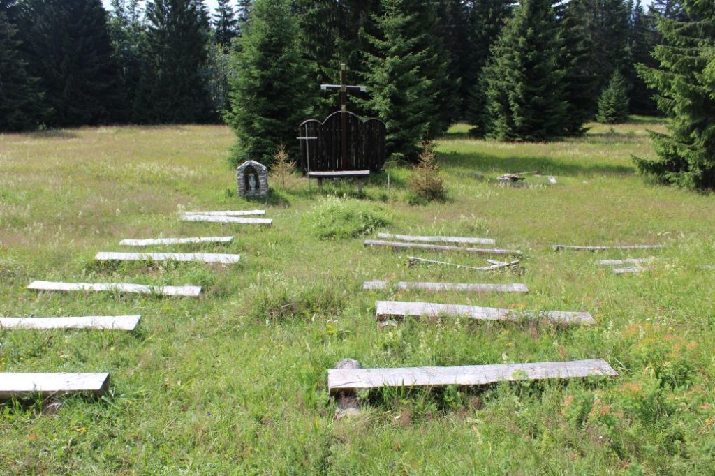
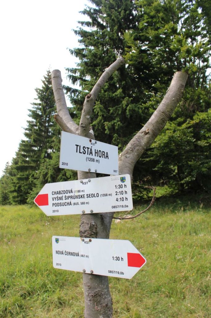
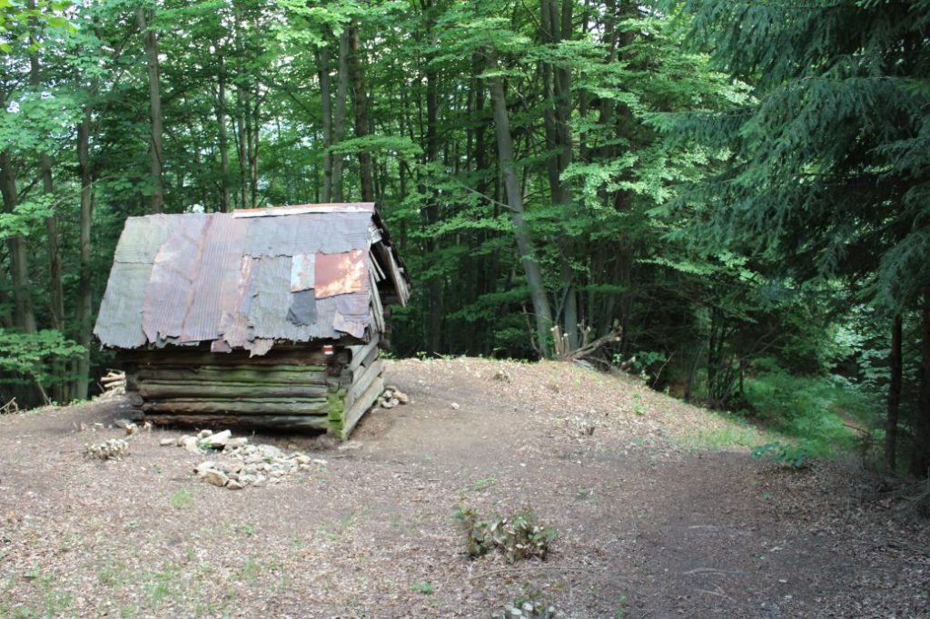
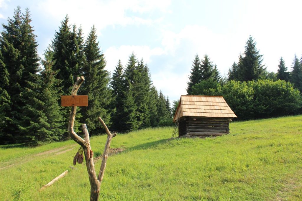
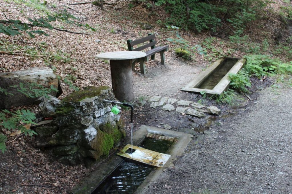
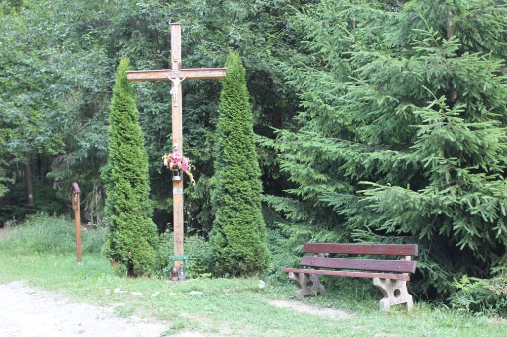
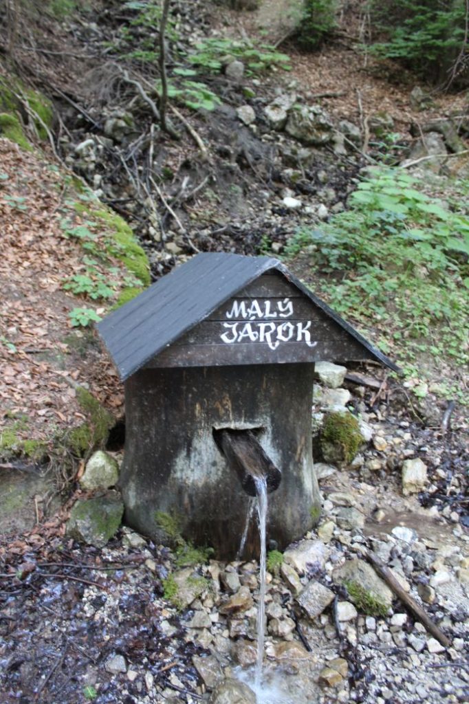
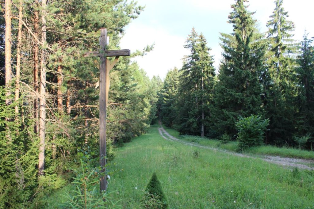
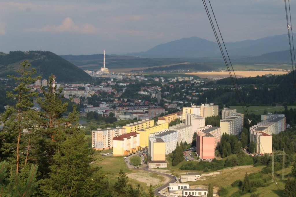
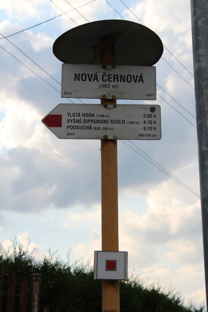
The route begins in Ružomberok’s village of Podsuchá, to which we can get by bus. From the restaurant with the initial signpost, the route runs downhill past the memorial to the builders of the road to Smrekovica, to the main road (to the left). It continues past a bus stop, through the parking area by the main road, to a path running away from the road to the left. Here, the route continues on a small path, which will lead us through moors with several creeks, which have wooden bridges built over them, to the beginning of the cabin settlement in the valley of Nižné Matejkovo. On an asphalt road, the route leads us through the cabin settlement, at the end of which there is a ferruginous mineral spring on the left behind the creek. A little bit farther, by the road on the right, we can fill our water bottles from a man-altered spring. We continue through the valley on the asphalt road, which runs mildly uphill the entire route. In the section through the valley, we might notice feeders for woodland animals or moss-covered woods of primary forest nature, especially on the right side of the valley. At the place where the road makes a sharp right-hand curve and the asphalt surface ends, we will continue directly along the sloping road full of water grooves, running by the creek. The route follows the right side of the creek and later it departs a few metres away from the creek and continues parallel with it. However, for easier orientation, it is better to continue along the creek, because the route parallel with the creek is covered with growth and more difficult to pass through than the creek bed itself. (Originally, the route used to run through the creek bed, then the marking was moved parallel with the creek, but visitors do not use this parallel branch, that is why it is covered with growth.) At the place where two creeks merge into one, we continue along the right one. The creek gradually disappears and the route continues on a meadow. Here, we stay on the left side of the meadow. At the end of the meadow, the route continues slightly to the left, by the creek. We follow the creek and enter a wooded area. This is the most difficult section of the route in terms of orientation and ascent, the trail is indistinct and the terrain is steep. We are maintaining the direction in which we came, and after a few dozen metres uphill, we come to a small path. On this path, the route continues to the right, but after a few metres, you need to get off the path and continue uphill. The next section of the route is full of fallen trees, which you need to climb over or get around. If you lose the trail, just continue directly uphill. After a few minutes of finding your way through the obstacles, you will arrive at a meadow, at the top of which you can already see the hiking marks located on an iron post. At this place, we can continue on the route slightly to the left, or we can go to the right to peak Šiprúň. At the peak itself, there is no view, but a few metres farther, you will get a view of Prašivá (the Low Tatras) and Smrekovica with Rakytov (the Great Fatra). On your way to the peak, you will also get alternating views of the Liptov Basin. The route runs down the meadow to notch Vyšné Šiprúnske Sedlo (Upper Šiprúň Notch), where it meets the blue-marked bike trail and the green-marked hiking trail. On a paved sloping road, the route continues to the left to notch Nižné Šiprúnske Sedlo (Lower Šiprúň Notch). At the notch, we disconnect from the green hiking trail and the blue bike trail, in the direction to the right, on a sloping road cut into a meadow slope, running mildly downhill. The route continues through meadows to an intersection of trails at Chabzdová (Maďarovo), where a blue and a yellow hiking trails connect to the route. In the vicinity of the signpost (at approximately 250 m forward to the signpost, on the right side by the trees), there is a man-altered spring. The section between the Šiprúň notches and Chabzdová has the most beautiful views of the entire route. We can admire the view of Veľký Rozsutec and Stoh in the Small Fatra, Salatín, Poludnica, Sinná and Bôry in the Low Tatras, Great Choč, the West Tatras, or a part of the High Tatras with Kriváň rising above the Liptov Basin and Liptovská Mara reservoir. From the intersection, we continue through the trees, through alternating sections of meadows and woodland, to notch Kalisko. The path continues mildly uphill through the woods around peak Vtáčnik, to a meadow high plain. We are passing by crosses, all the way to the signpost at Tlstá Hora (Krstá Hora). From here, the path runs steeply downhill, passing by old hay barns (stalls), to a meadow called Roveň. The route connects to a forest sloping road, which leads us continuously downhill by a stream from a water tower, towards crosses. At a cross, we cross the green-marked bike trail and pass by a well on a creek (we do not recommend drinking the water). The sloping road leads us by the way of the cross, to a cross from which we continue along the ridge. (There is a sloping road running down from the ridge, but do not let it lead you astray and continue on the ridge). The route will lead us to an area below the high-voltage line, from where we get a view of Ružomberok. The path continues steeply downhill to a road, which we simply cross to get to a small path running through bushes. The route continues to a road, on which we go to the left. (In the direction to the right, there is a shepherd’s hut, “Koliba”, and an amusement park for children). Running along the road is also the green-marked bike trail which we crossed earlier. We are passing through Ružomberok’s district Černová, all the way to the signpost by the Váh River (Nová Černová), where the route ends by the bus stop.
Safety:
The initial section of the route through the moor is usually muddy and slippery. The section from the end of the asphalt road in the valley of Nižné Matejkovo runs along a creek and in the creek bed, where you need to pay attention, especially to avoid slipping. In the following section through the meadow, be careful, as the path in this section is usually covered with tall grass, which makes it difficult to see where you are stepping. The most dangerous section is the one above the meadow, on the steep uphill path through the woods. The terrain in this section is muddy due to several unaltered springs, and the path is full of fallen trees. There is a great risk of slipping and falling down the steep terrain. After exiting the woods, the terrain is no longer difficult. The turn to peak Šiprúň runs mostly on grass covered terrain, with a few “climb-ups” on growth-covered rocks. The entire next section to Tlstá Hora (Krstá Hora) runs on easy terrain with small vertical distances. The descent from Tlstá Hora (Krstá Hora) runs on a steep and distinct downhill path and forest sloping roads. In this section, you need to be careful to avoid slipping, because the downhill path is covered with fallen leaves all year round and with snow in winter, which makes it slippery. We recommend using hiking poles and high-quality anti-slip footwear. For safety reasons, we do not recommend bringing along children under the age of 10, or older, if they have no prior experience with untrodden terrain.
Marking on the route:
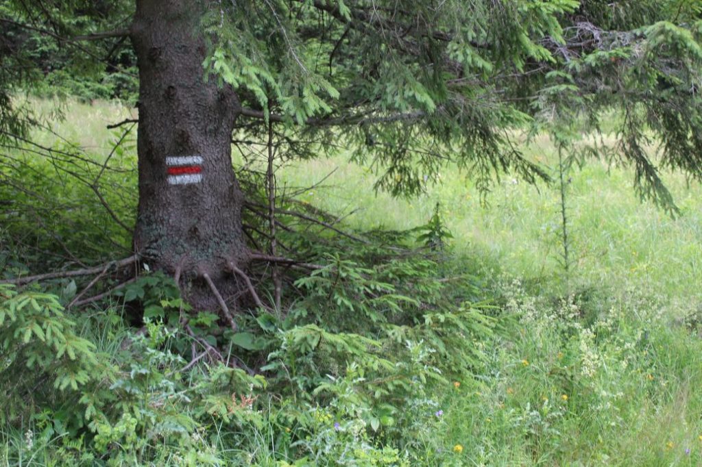
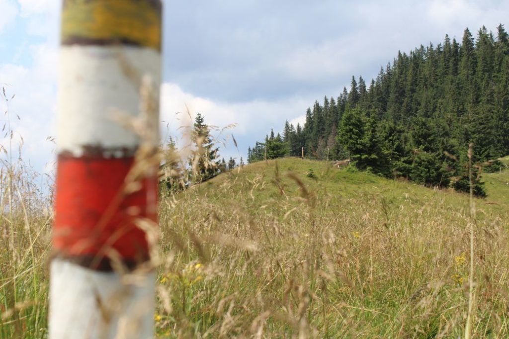
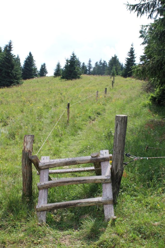
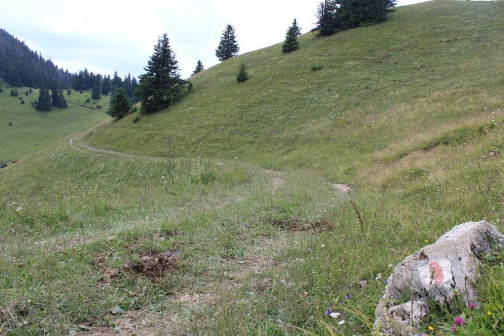
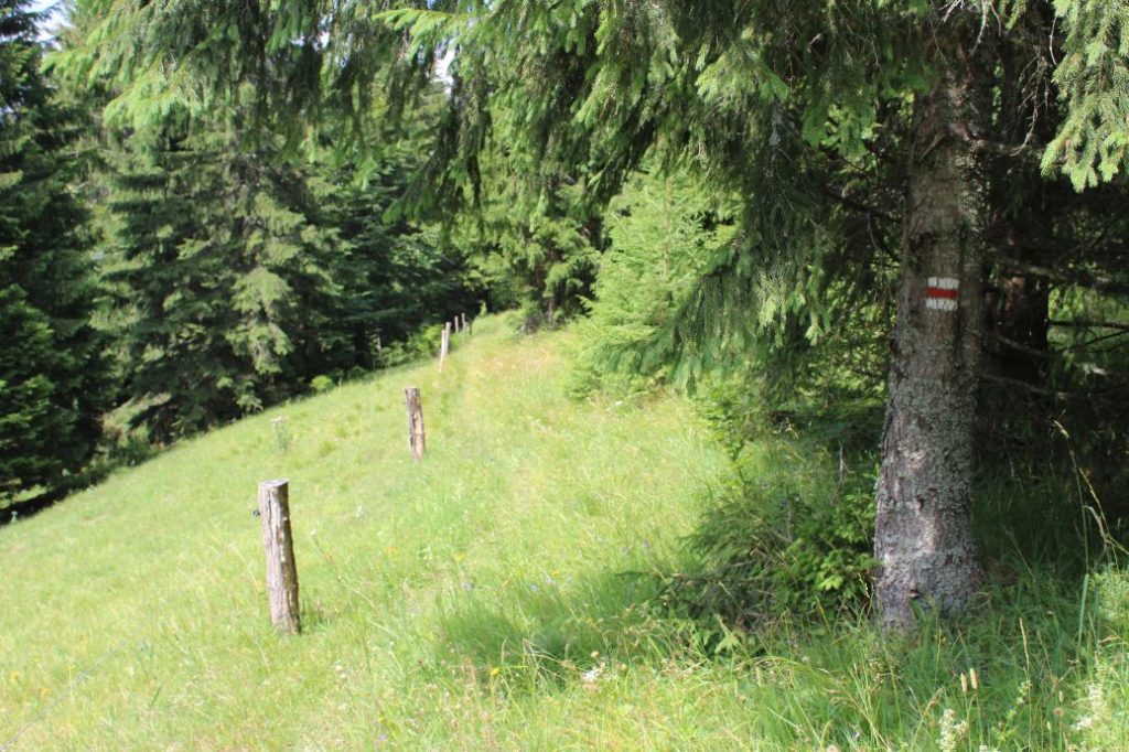
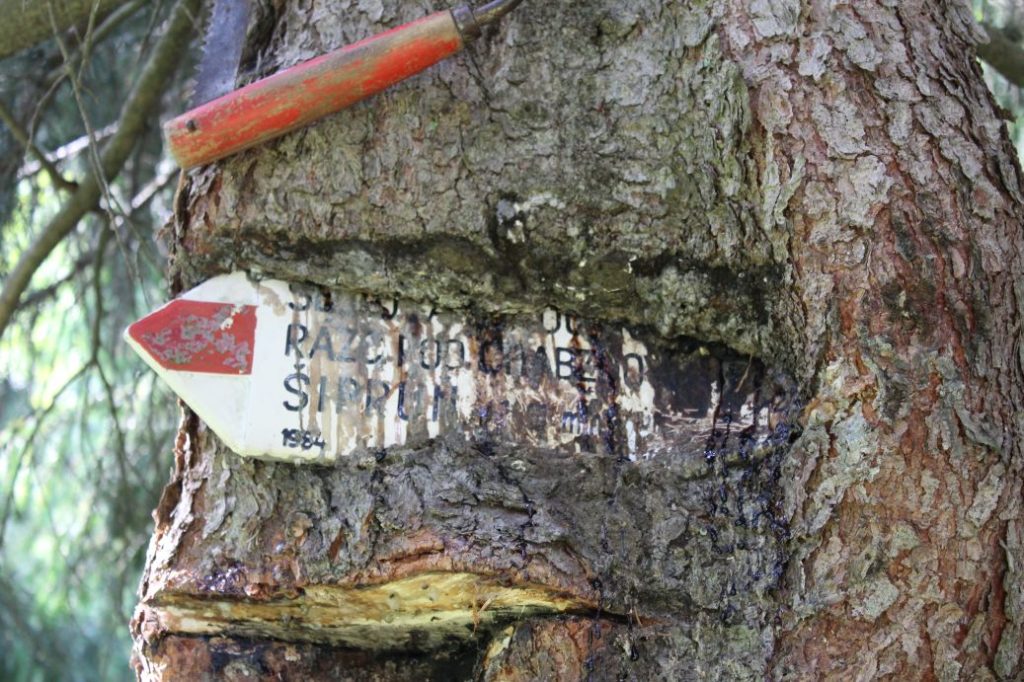
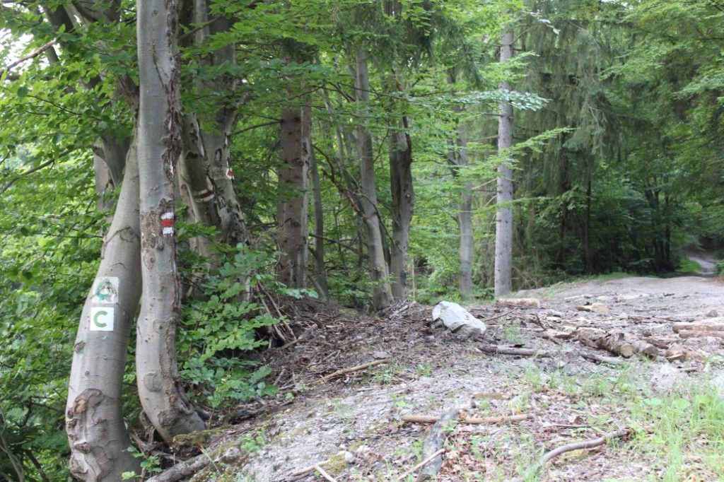
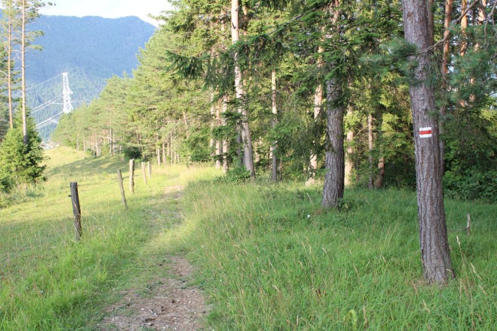
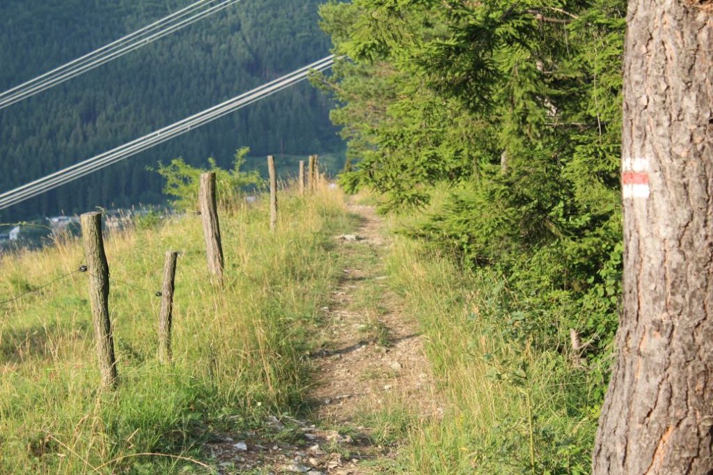
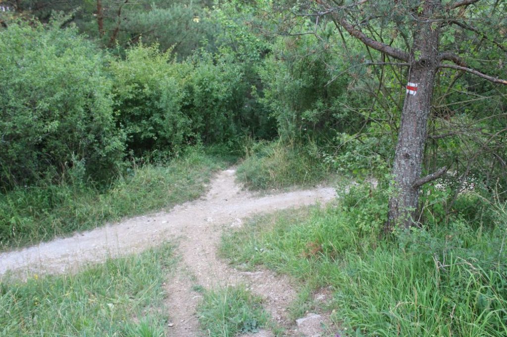
The marking of the route is not sufficient, you often need to pay increased attention and look for the marks, especially at places with thicker vegetation and on the meadows, or at the intersections of trails or roads. The section through Nižné Matejkovo is easy in terms of orientation, as it runs on an asphalt road. The most difficult section in terms of orientation is the one from the end of the asphalt road in Nižné Matejkovo, which runs through a meadow and through steep, thick woodland terrain. The path on the meadow is covered with growth and the marks are very difficult to find. The steep uphill path to notch Vyšné Šiprúnske Sedlo (Upper Šiprúň Notch) is full of fallen trees, which you need to climb over or get around. Orientation is very difficult here. The marking on the rest of the route is a bit sparse, but the route runs on distinct wood paths or roads. In winter, we do not recommend this route for anyone who has never walked it during summer and who does not have at least basic knowledge of its trajectory.
Notes:
– The trail is accessible all year round.
– The part of the route up to notch Vyšné Šiprúnske Sedlo (Upper Šiprúň Notch) is used with little frequency, usually during summer. The rest of the route is used more frequently and all year round.
– The route as a whole is not suitable for children and for beginners.
– On the route, you are going to need orientation skills and the ability to find direction in the wilderness.
– Passing of the route in the opposite direction takes approximately 6:10 hours.
– The detour to peak Šiprúň takes approximately 0:25 hours (there and back)
– There is a restaurant and a parking lot at the beginning of the route.
– There are suburban buses running from Ružomberok to the beginning of the route.
– There are local public transport buses and suburban buses from Ružomberok running to the end of the route.
– At the end of the route, there is a restaurant, a grocery store and a refreshment establishment.
– The route passes by several man-altered springs and one mineral spring.
The route was reviewed in July 2021.

