Podsuchá - Brankov - Biely Potok
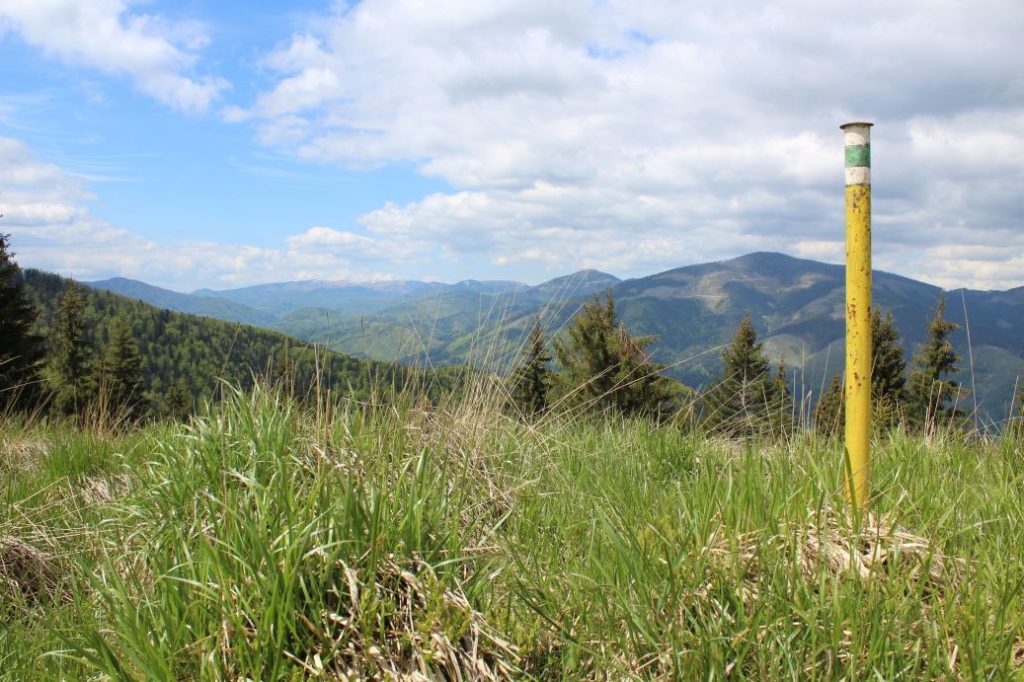
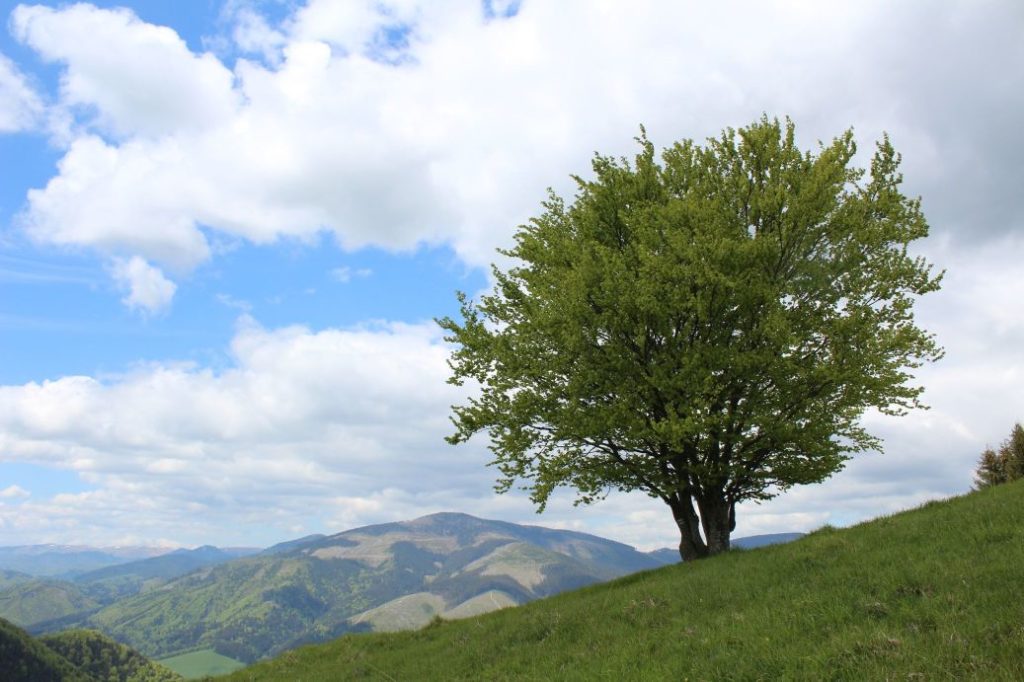
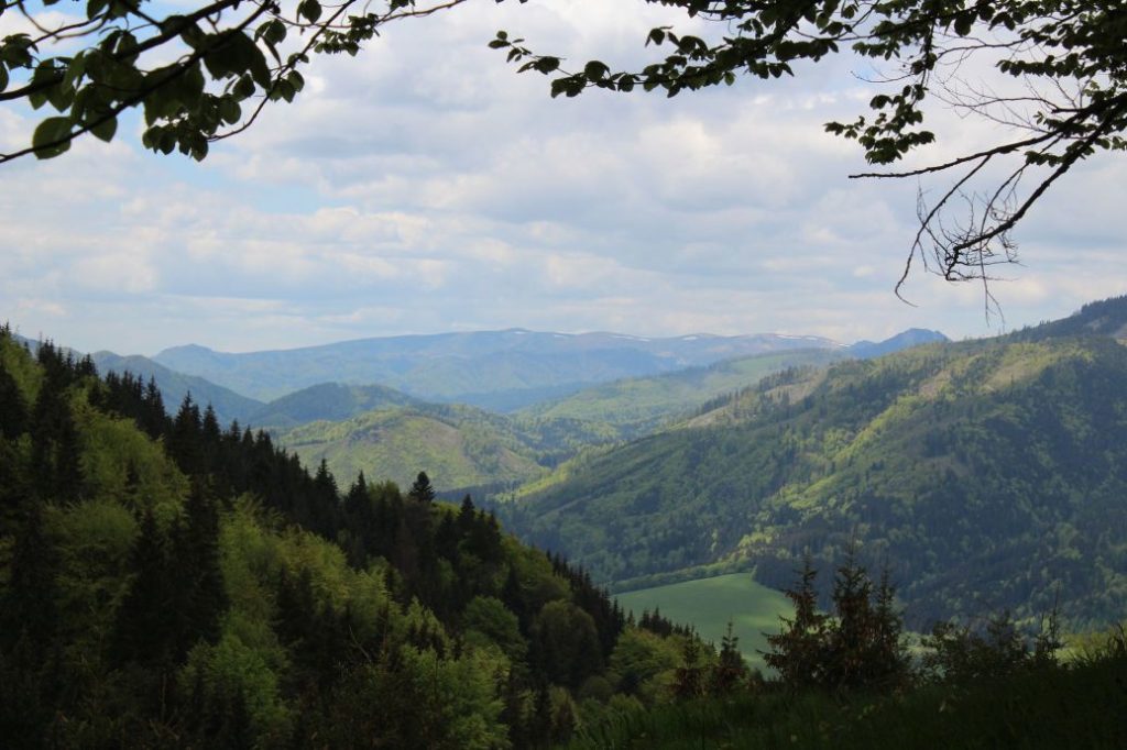
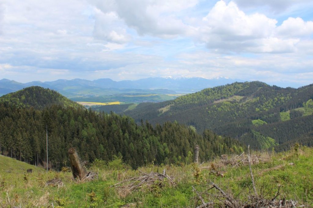
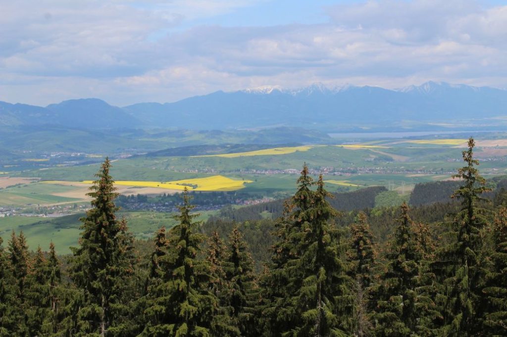
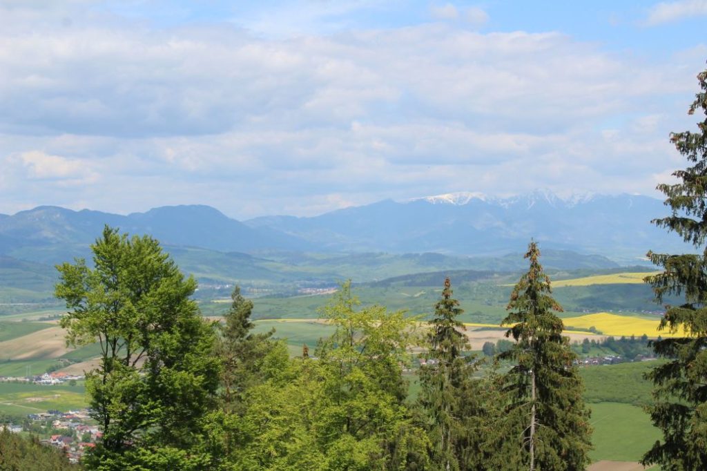
A trail running from Podsuchá, past the Brankovský Waterfall, to Veľký Brankov. It continues through Brankov and Ostrô, to Biely Potok. The route is interesting in particular for the visitors who like places where they will not meet crowds of people. It runs through wooded areas, mountain meadows and a rugged ridge. The route reveals views of Smrekovica, Salatín or the Liptov Basin.
Number of the route: 5605
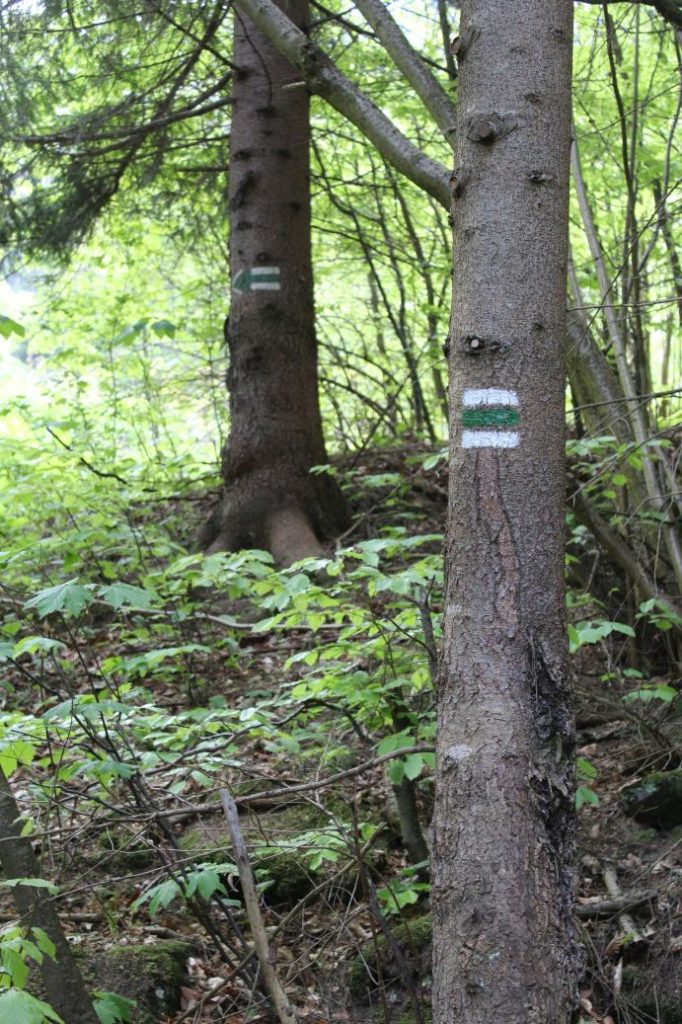
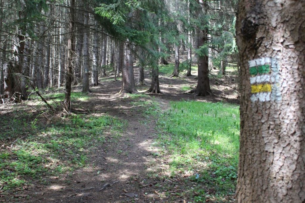
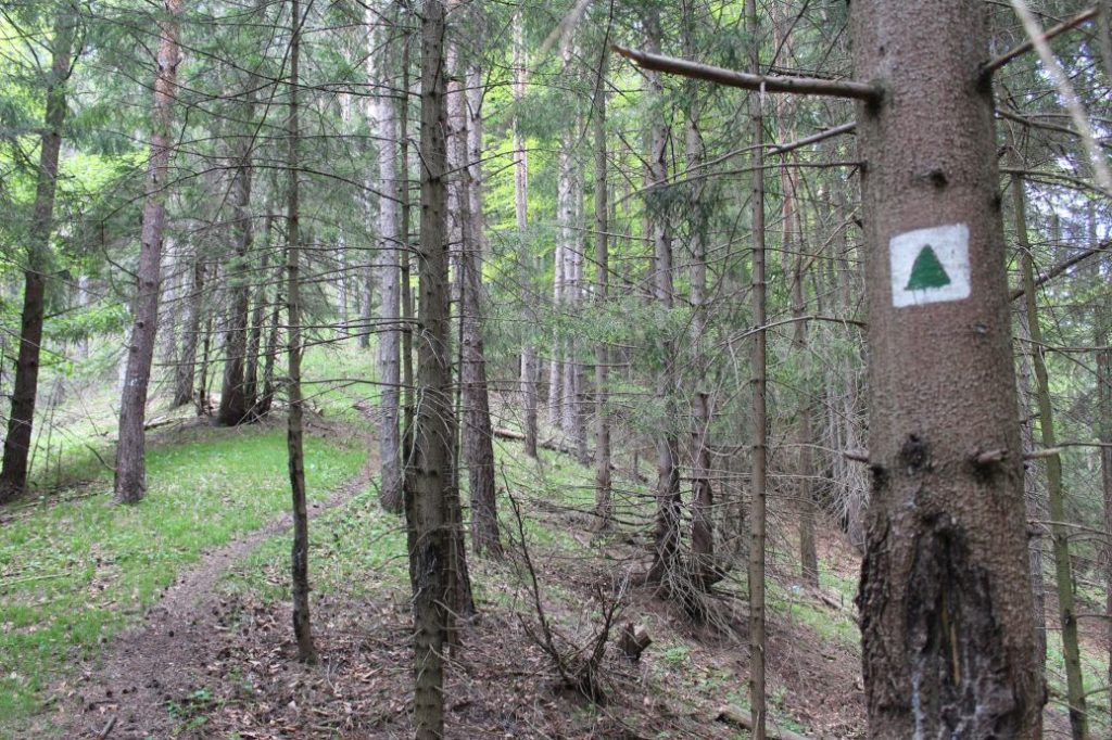
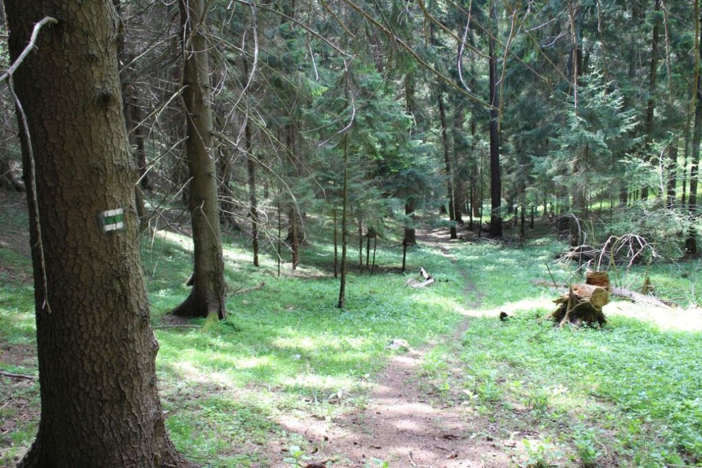
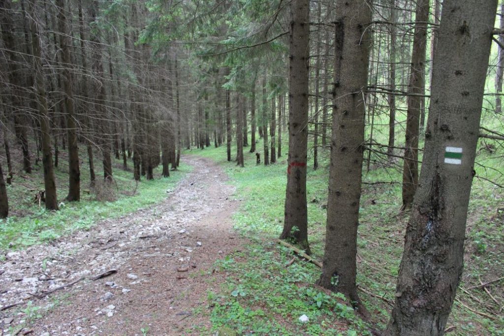
Colour: Green
Length of the route: 11.6 km
Vertical distance: Ascent: approx. 945 m / Descent: 1000 m
Time of completion: 4:30 hours
Reference points for orientation:
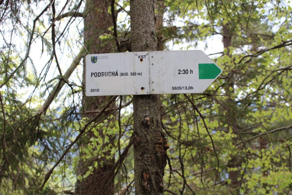
1. Podsuchá 560 m
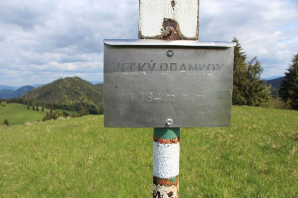
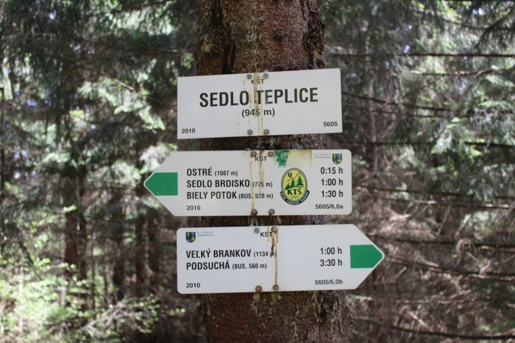
2. Veľký Brankov 1134 m (missing direction signs)
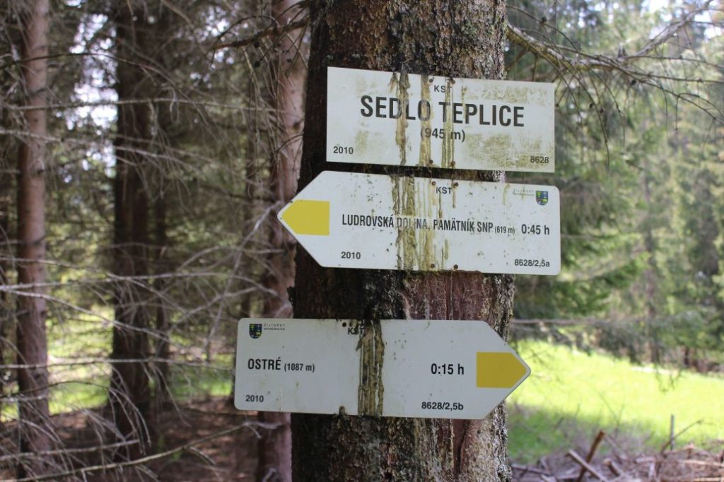
3. Sedlo Teplice (notch) 945 m
4. Ostré (Ostrô) 1087 m
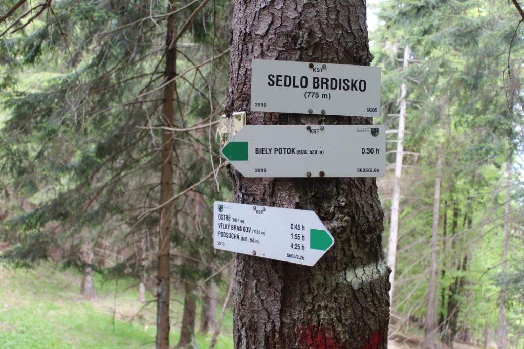
5. Sedlo Brdisko (notch) 775 m
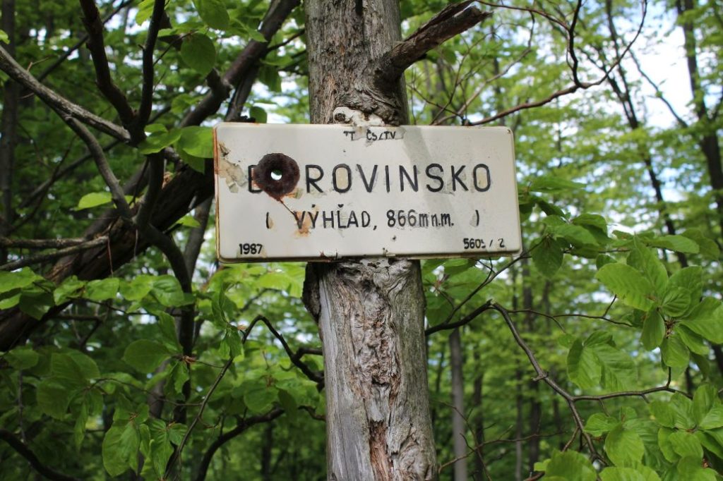
6. Borovinsko (view) 866 m (old viewpoint)
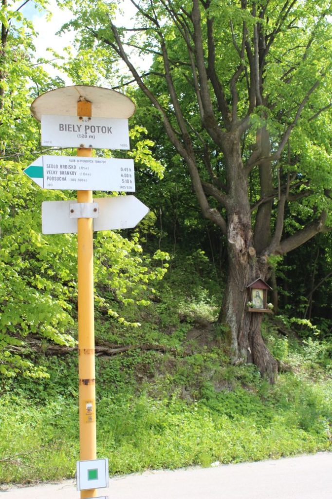
7. Biely Potok 520 m
Route description:
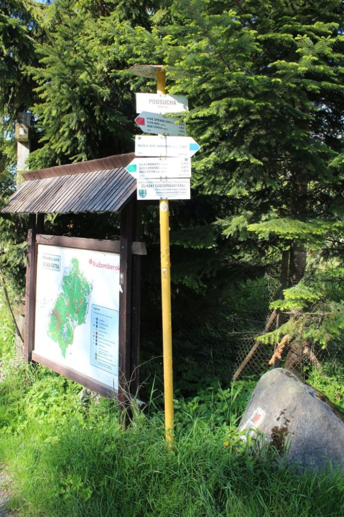
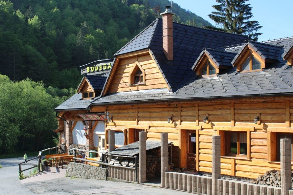
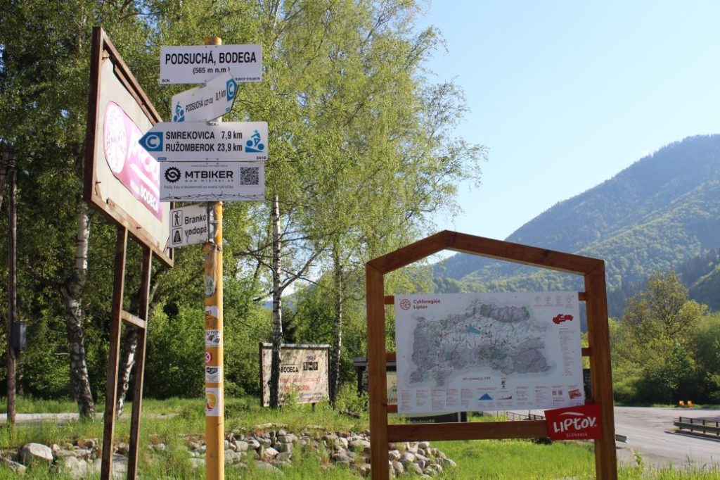
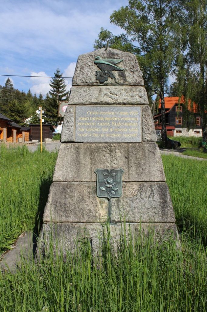
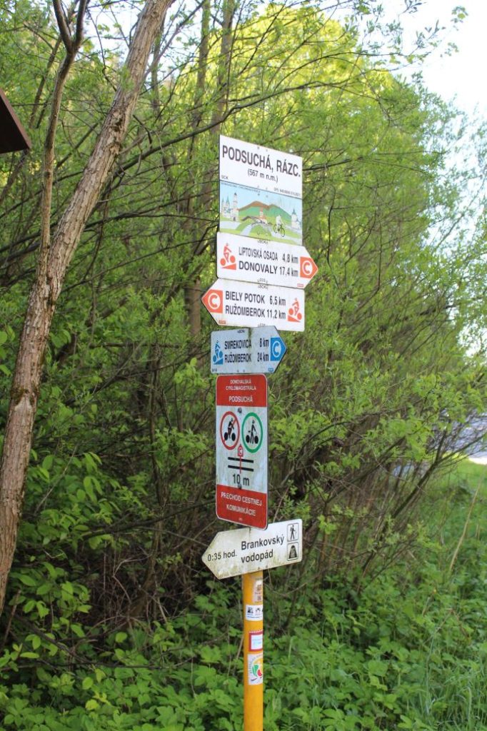
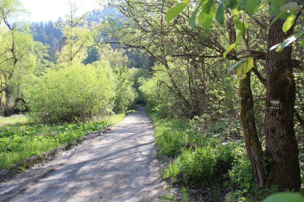
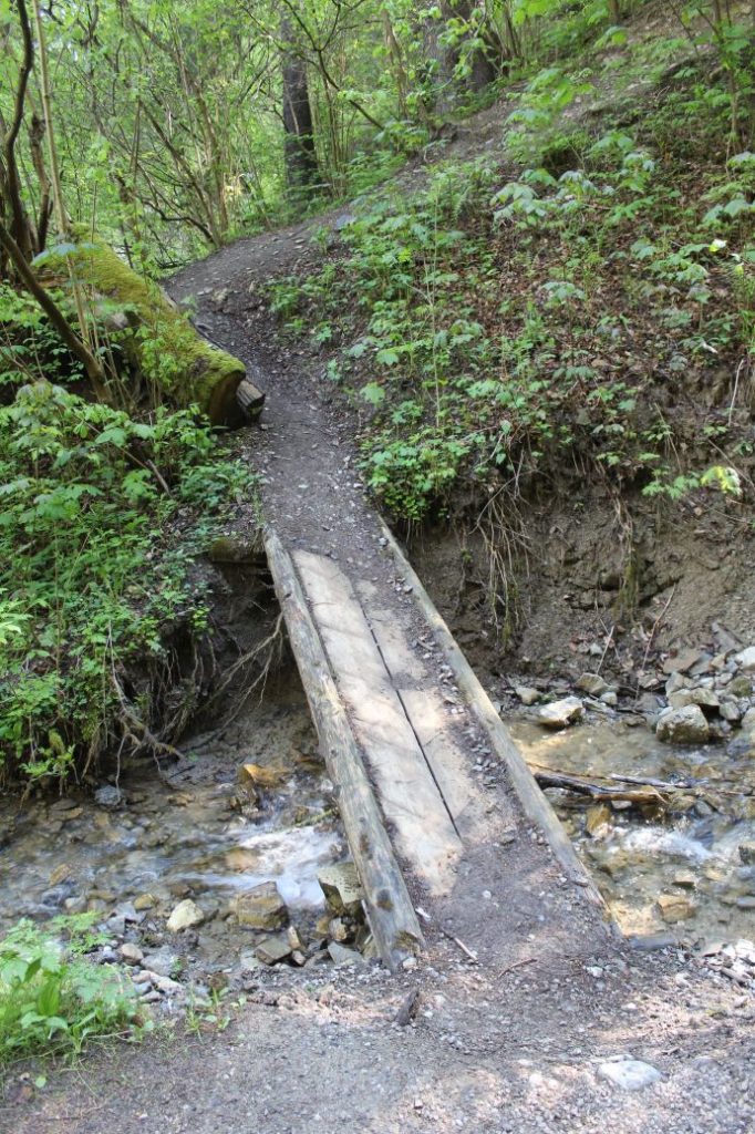
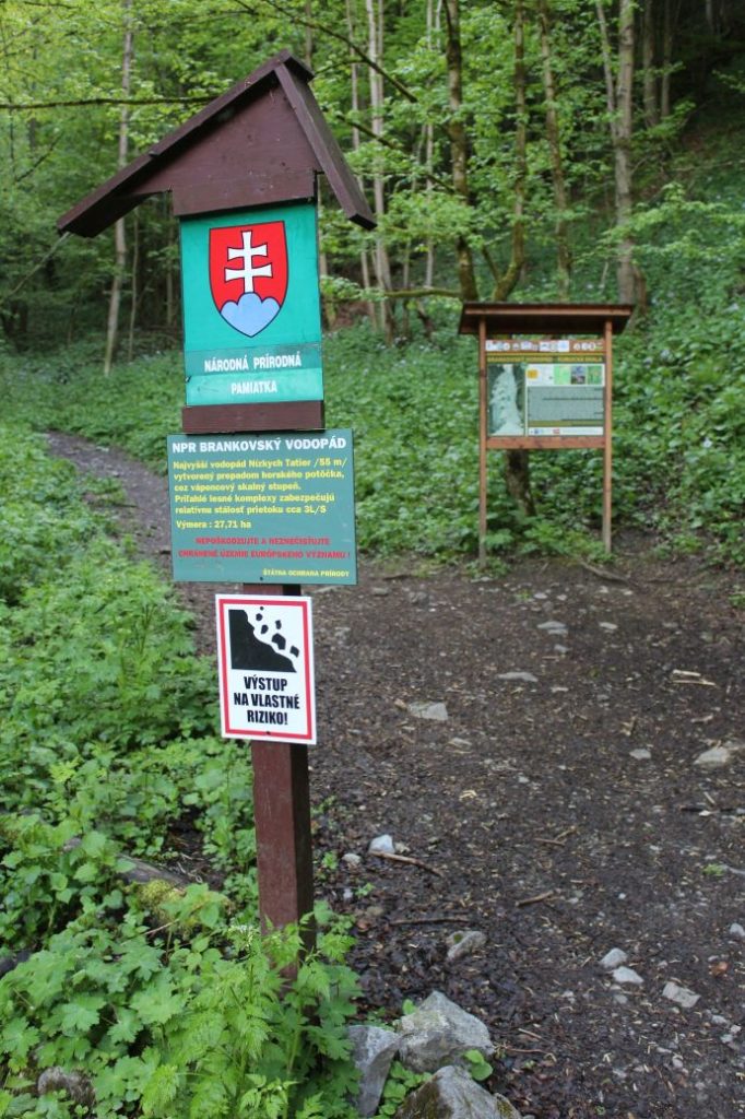
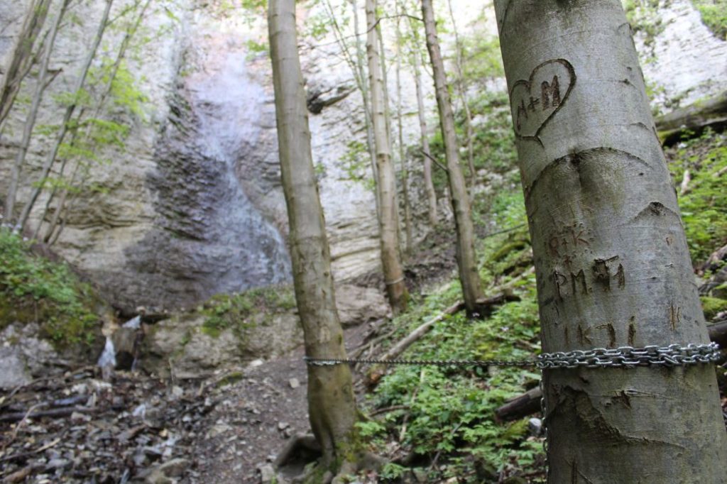
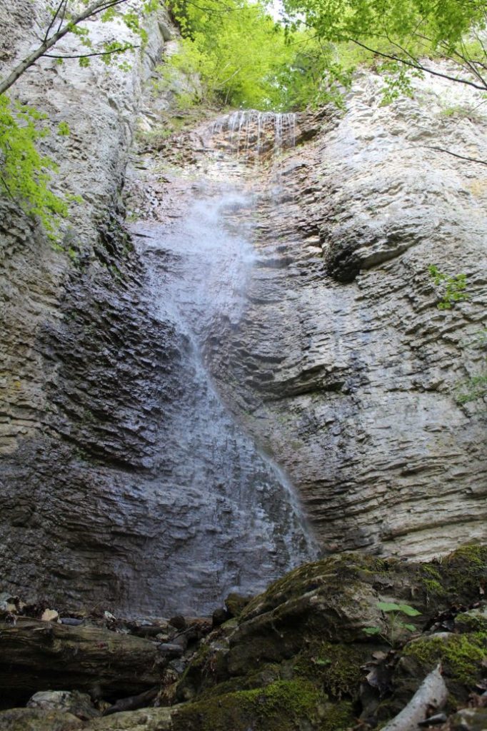
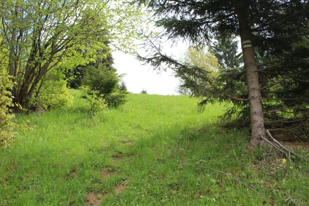
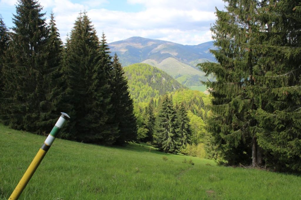
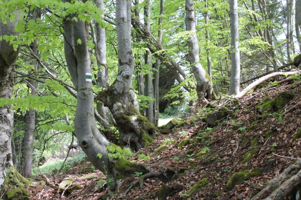
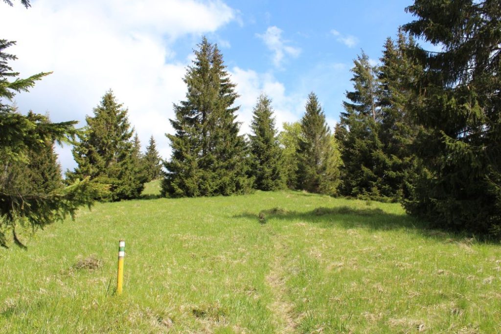
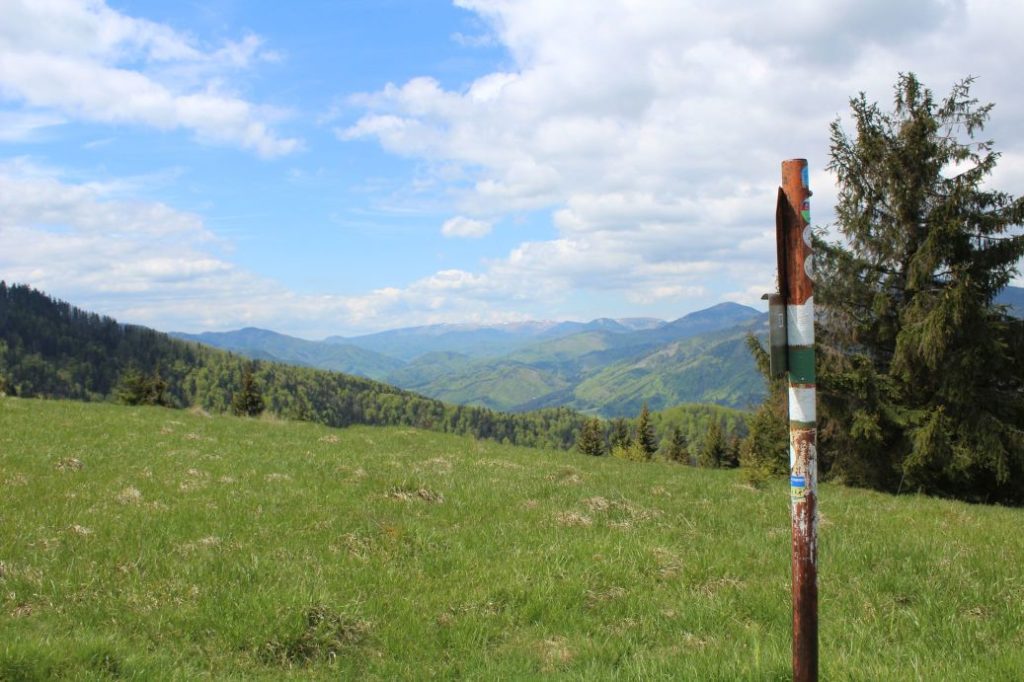
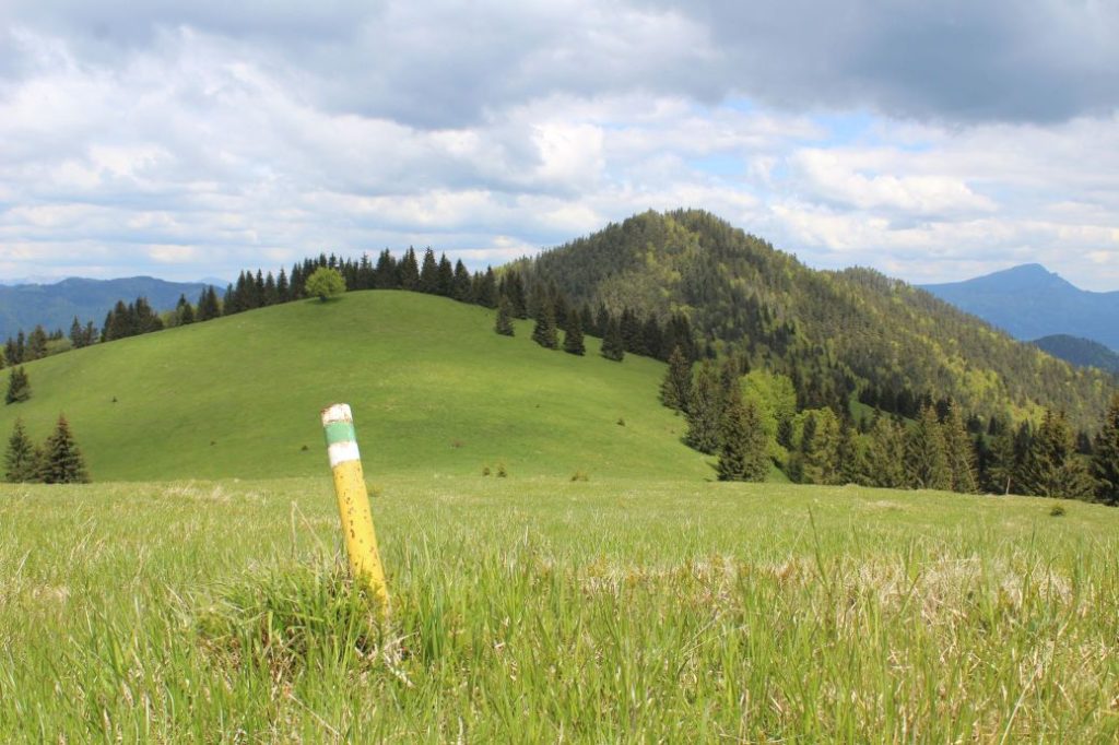
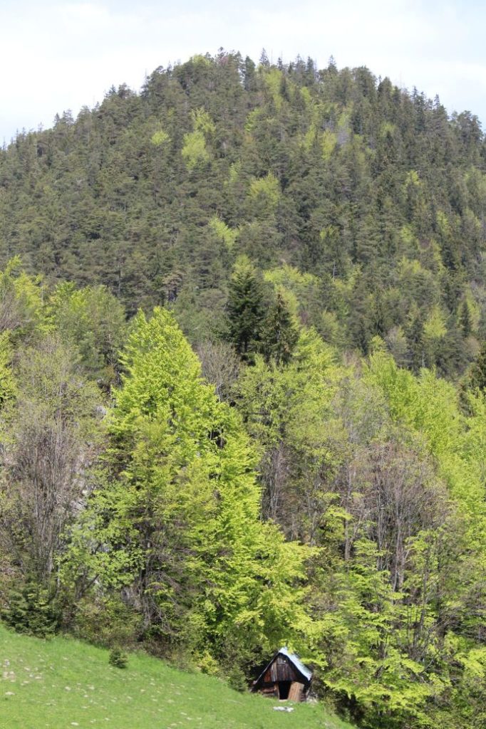
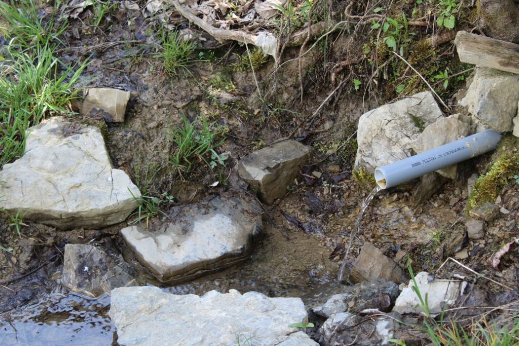
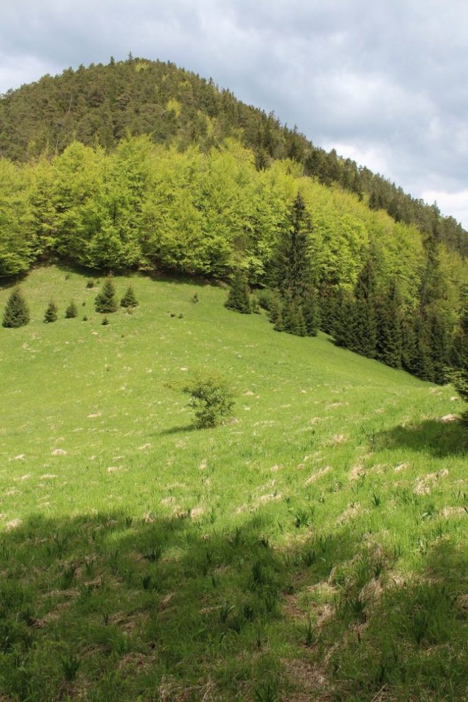
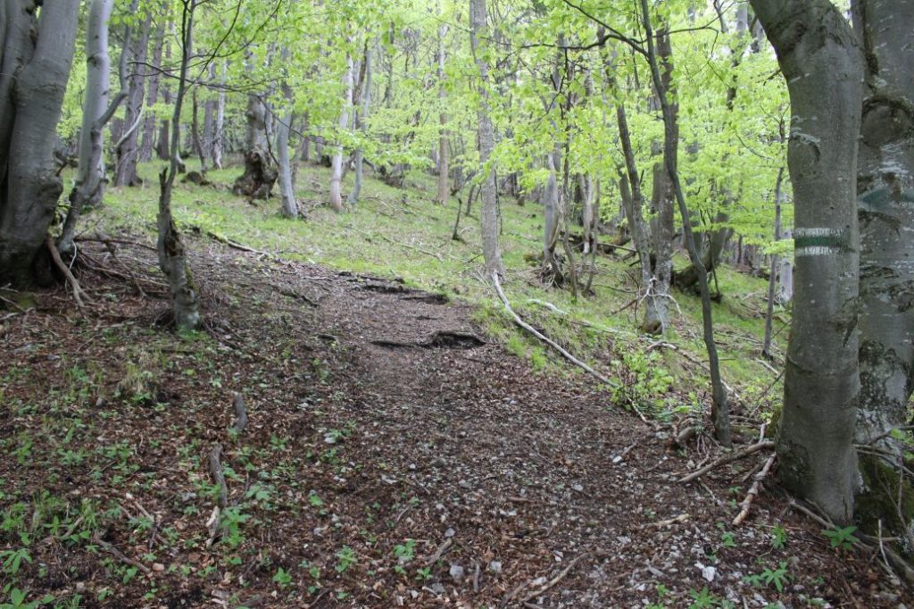
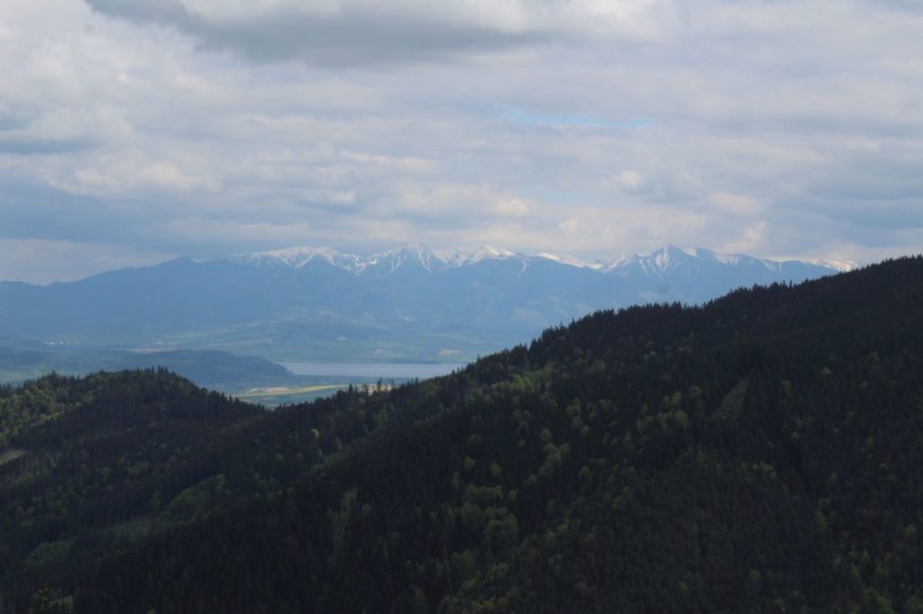
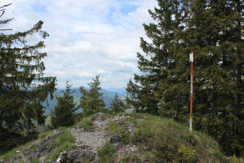
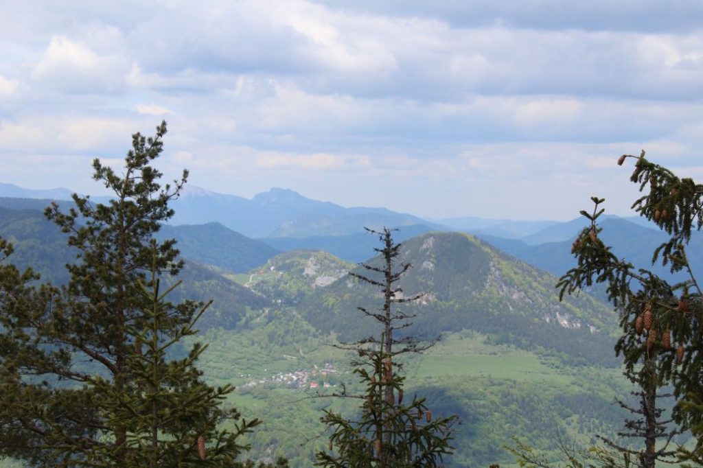
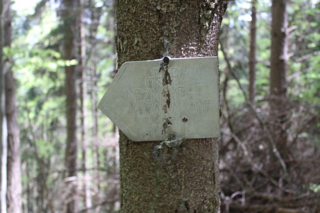
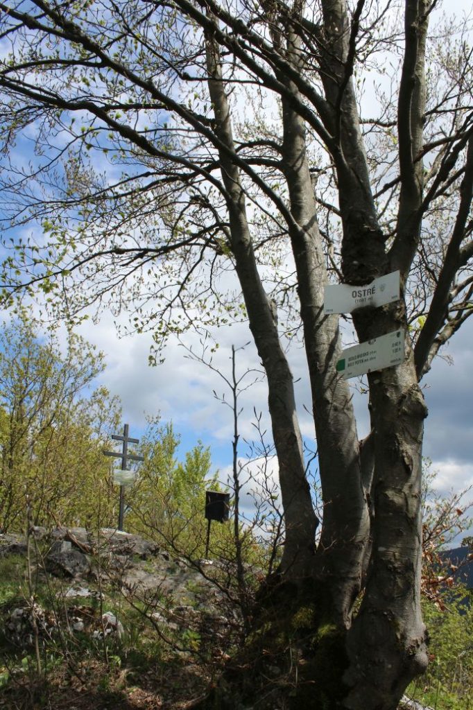
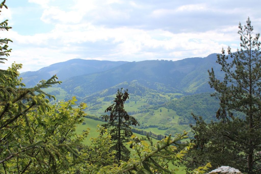
The route begins in Ružomberok’s village of Podsuchá, to which we can get by bus. From the restaurant with the initial signpost, the route runs downhill past the memorial to the builders of the road to Smrekovica, to the main road (to the right). It crosses the road bridge and continues to the left, on the road by the Revúca River. The route continues past a camp site, to the second valley. It turns right from the road into the valley, leading us across the bridge over the creek and steeply uphill onto a sloping road, which runs through the valley. There are arrows pointing towards the path to the waterfall, which might help you navigate. The sloping road running through the valley is distinct at first, then it gradually disappears under growth and changes into a path. At the place where the route turns right across the creek, you will see an information panel about the Brankovský Waterfall. From here, it is possible to continue in the direction of the valley and make a detour to the waterfall. The route continues on rocky terrain, to the right of the valley leading to the waterfall, and it enters a short and rocky mountain pass with a small waterfall. The trail runs along the right side of the creek and at the place where it turns left across the creek, it enters onto a meadow. On the meadow, the trail continues to the left, you need to stay at the left periphery of the woods and enter the valley on the left. The ascent through the valley is steep and we might notice there is a deep channel next to the trail, created by a creek flowing through this area. The trail passes by the ruins of old stalls (hay barns) and enters onto a meadow. The route continues slightly to the left, for better orientation, we recommend following the periphery of the woods on the left. After a short while, you will be able to see a small yellow post navigating you to the correct direction. The route arrives at a small meadow notch with a hunters’ hide. Here, we gradually start getting views of the Great Fatra. The trail continues further from the hunters’ hide (to the right) and through a wooded area, it underruns the hill in front of us from the left side. Once again, the trail arrives at meadows, where we get more partial views of the Great Fatra. Passing by another yellow post, the trail enters onto a distinct path below the ridge. At this place, do not let the path lead you astray, but continue a few more metres further and then turn slightly to the left onto a smaller path, which leads to the ridge of Veľký Brankov. We climb to the peak on a mountain meadow, which immediately reveals views of Úplazy. As we continue up the meadow, it becomes wider and reveals more and more beautiful views of Salatín, Prašivá, the Great Fatra, the Choč Mountains or a part of the Small Fatra. The views from the meadows at the top of Veľký Brankov are the most beautiful ones of the entire route. The trail, marked only with small yellow posts at the meadow, continues mildly downhill into a meadow notch, from where it continues through a short uphill section towards a wooded area. At the top, it makes a sharp turn to the right and runs down to an old sheep farm. Near the sheep farm, you will find a man-altered spring, where you can fill up your water bottles, and an old shepherd’s hut, in which you can hide in the event of bad weather. The trail continues through the woods, passing in between two rocky cliffs situated behind the shepherd’s hut. A little bit further ahead, it once again enters onto a meadow, from which we start a steep ascent to the highest point of the route, Brankov. The section along the ridge, from Brankovo to notch Brdisko, runs on the ridge, and almost all the elements of the rugged terrain, rocks, or terrain obstacles, are by-passed from the left side. Every time you are not sure which way to go, try looking to the left, and if you depart from the ridge, you need to return to the ridge again. From the rocky and grass-covered peak of Brankov, you get partial views of Prašivá, Smrekovica, Veľký Rozsutec or Vlkolínec nestled below Sidorovo. An attentive eye should also not miss the view of Podsuchá, where our route began. On our way to notch Teplice, we are passing by rock formations and we are able to see partial views of the surroundings. The route passes by forest sloping roads, however, do not let them lead you astray and look for your path away from these roads. After the peak of Priehyba, the trail arrives at a clearing, which reveals views of the West Tatras and a part of the High Tatras with Kriváň. From notch Teplice, the route runs simultaneously with the yellow-marked trail to peak Ostré, or Ostrô, as it is called by the local inhabitants. Situated below the peak is an arrow pointing to the grave of an unknown soldier, who died during the SNU. The grave is located approximately 100 metres away from the trail. Situated at peak Ostré are memorial plaques dedicated to the participants of the SNU. The peak offers only partial views of Salatín and Prašivá. On the way to the notch, you occasionally get limited views of Vlkolínec, Great Choč, the West Tatras or Liptov villages in the Liptov Basin. Notch Brdisko offers another detour option, to a viewpoint at Borovnisko. From a new viewpoint, which is situated in front of the peak, you will get views of the Liptov Basin with the Choč Mountains, the West Tatras and a part of the High Tatras with Kriváň. You can no longer expect views from the old viewpoint situated behind the peak, as the surrounding growth has covered almost all the view options. However, the viewpoint itself, which consists of a rocky cliff, is a nice place and it is worth visiting. From notch Brdisko, the route continues downhill to the left, through the Jarabková Valley, and arrives at meadows. There is an interesting rock formation rising on a small hill to the right. Although the rock is not situated directly on the route, it is worth making a detour to it, as its location reveals beautiful views of the surroundings. From the meadows, the route enters Ružomberok’s District Biely Potok, where it will end after a few minutes of walking, by the main road, a few metres away from the bus stop.
Safety:
At the beginning of the route, you need to cross a road bridge on a first-class road with heavy traffic and there is no side walk for pedestrians at the bridge. The route runs on different types of terrain with steep downhill and uphill sections. The initial section is often muddy and slippery, extra attention need to be paid to limestone rocks, which are usually wet and slippery. In the steep uphill section leading to the ridge, the terrain is muddy and also slippery. On the mountain meadows, the path is usually covered with grass, which makes it difficult to see where you are stepping. The ridge between Brankovo and Ostré is rugged with steep uphill and downhill sections on rocky terrain and steep slopes falling down to the east and the west. We recommend using hiking poles and high-quality anti-slip footwear. For safety reasons, we do not recommend bringing children under the age of 12, or older, if they have no prior experience with untrodden terrain.
Marking on the route:
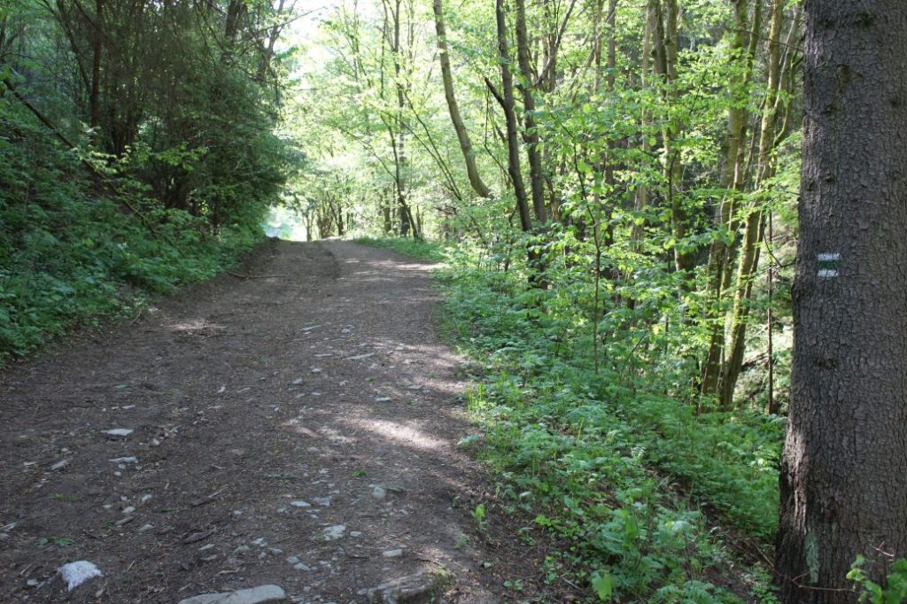
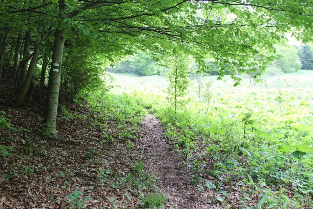
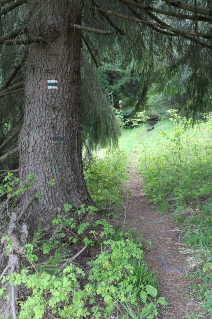
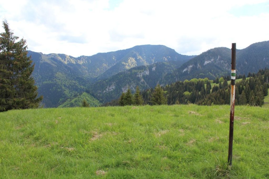
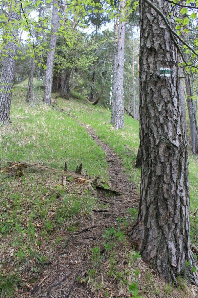
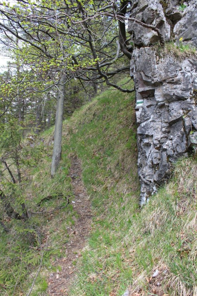
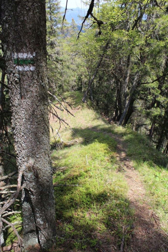
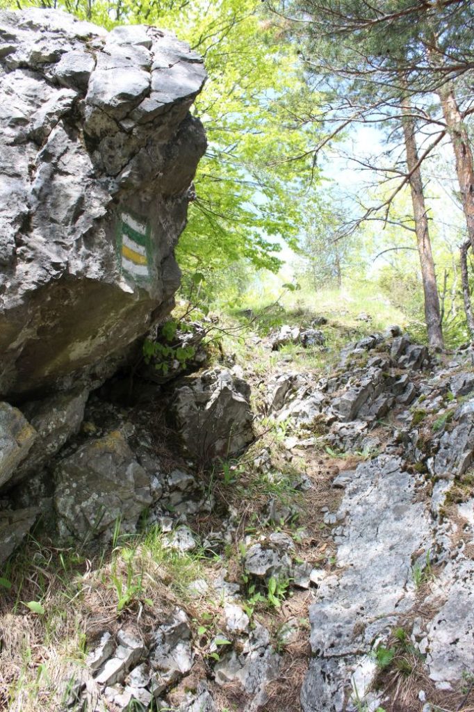
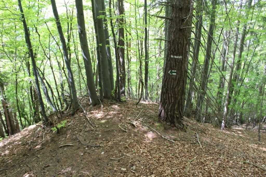
The marking of the route is not sufficient, you often need to pay increased attention and look for the marks, especially at places with thicker vegetation and on the meadows. The visibility of the marks is more difficult also due to the fact that the marking of the route up to notch Teplice has not been renewed for a long time and the marks have faded. The marks from the notch onward are more recent and a lot more visible. The marking in the opposite direction is even less clear and there are places where you are not sure which direction to go. In winter, we do not recommend this route for anyone who has never walked it in summer and does not have at least basic knowledge of its trajectory.
Notes:
– The trail is used with little frequency, but all year round.
– The route is not suitable for children and for beginners.
– On the route, you will need orientation skills and the ability to move through different types of terrain.
– Passing of the route in the opposite direction takes approximately 5:00 hours.
– The detour to Brankovský Waterfall and back takes approximately 0:30 hours.
– The detour to the viewpoint at Borovnisko and back takes approximately 0:15 hours.
– The detour to the old viewpoint at Borovnisko and back takes approximately 0:45 hours. You need to pay attention to the path, because the marking to this viewpoint has almost faded out and has not been renewed.
– There is a restaurant and a parking lot at the beginning of the route.
– There are suburban buses running from Ružomberok to the beginning and the end of the route.
– In the vicinity of the end of the route, there is a grocery store and refreshment establishments.
– The route passes by several springs, but only one of them is altered for drinking, the one near the old sheep farm.
– In the event of bad weather, you can hide in the shepherd’s hut at the old sheep farm in the notch between Veľký Brankov and Brankov.
The route was reviewed in June 2021.

