Ružomberok - Malinné
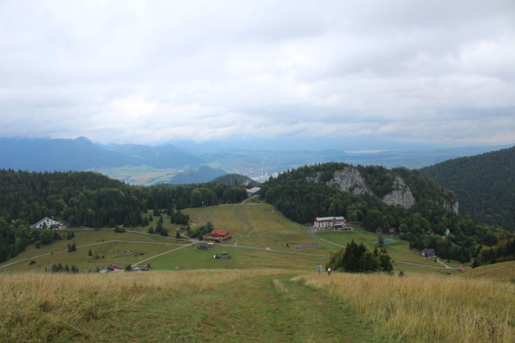
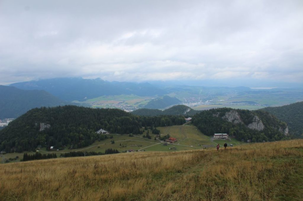
The trail running from the centre of Ružomberok, through Ružomberok’s Calvary and ski resort Malinô Brdo, to peak Malinné. The route running to the viewpoint peak of Malinné with the top station of the chair lift. The peak offers beautiful views of the Choč Mountains, the West Tatras, the Low Tatras and the Liptov Basin with the High Tatras in the background.
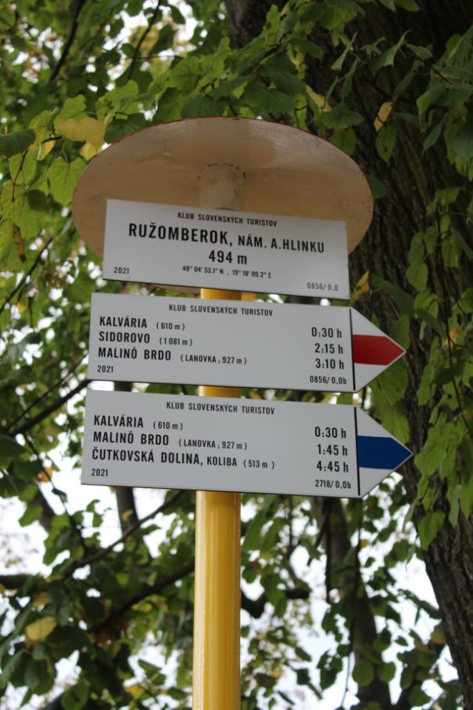
Number of the route: 2718
Colour: Blue
Length of the route: 7.5 km
Vertical distance: Ascent: approx. 720 m
Time of completion: 2:40 hours
Reference points for orientation:
1. Ružomberok, A. Hlinka Square 494 m
2. Calvary 610 m
3. Za Kalváriou (behind Calvary), intersection 623m
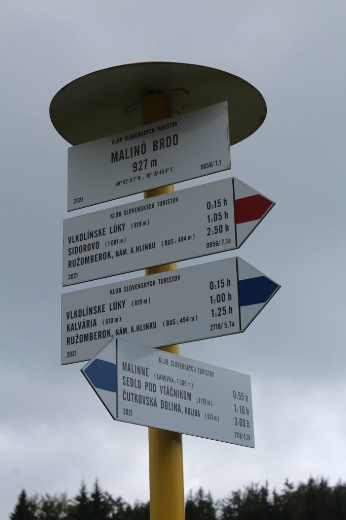
4. Vlkolínske Lúky (Vlkolínec Meadows) 819 m
5. Cabin “Chata Skalka” 860 m (non-standard marking near the cabin resembling the official marking)
6. Malinô Brdo 927 m
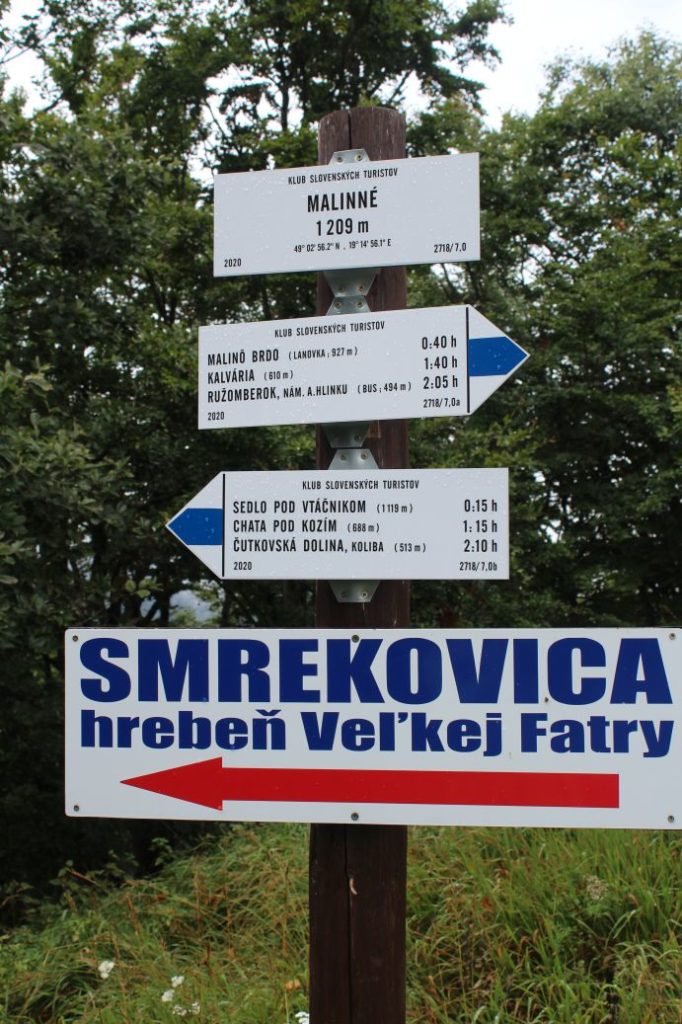
7. Malinné 1209 m
Route description:
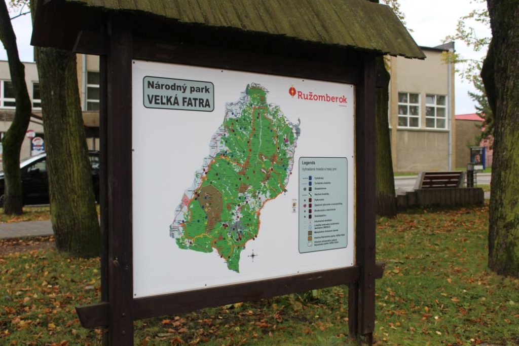
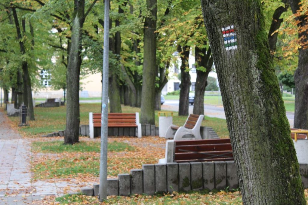
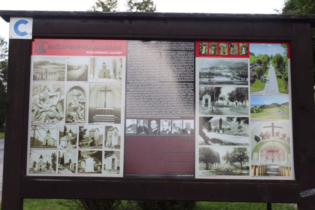
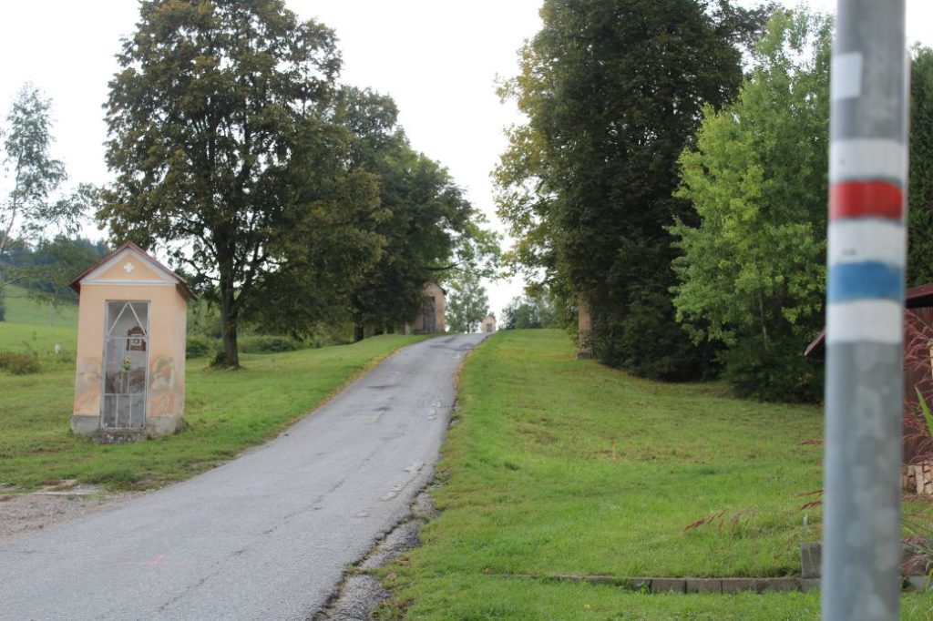
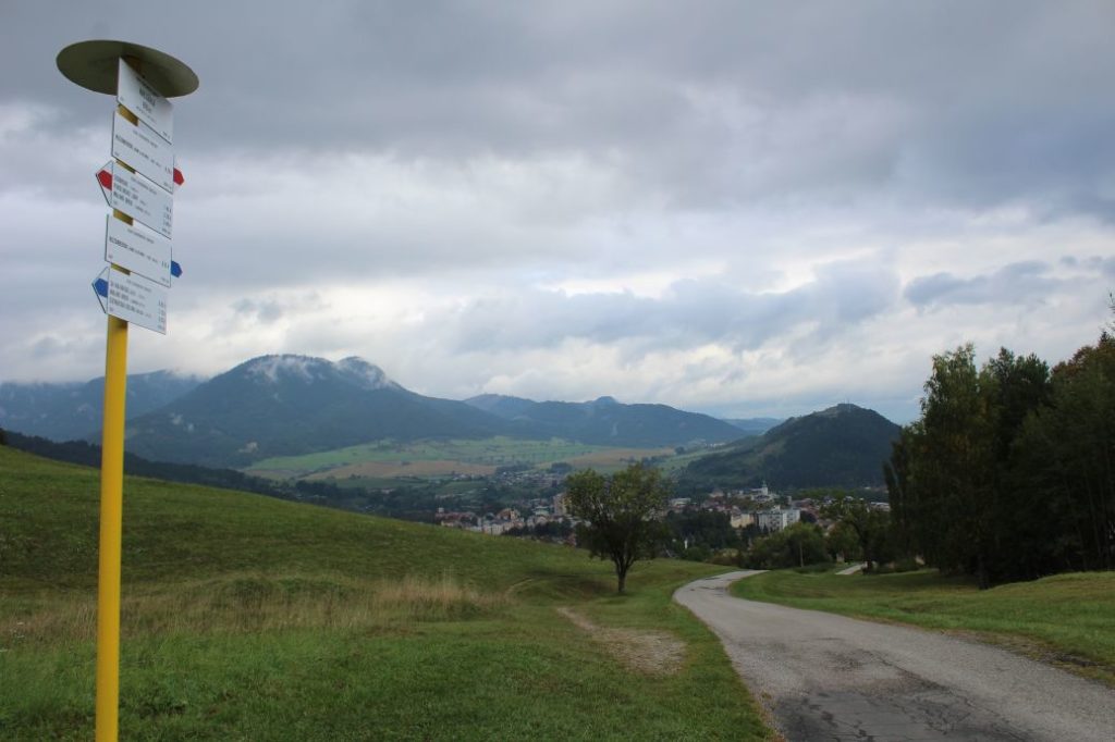
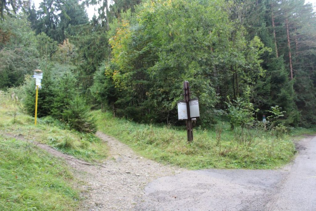
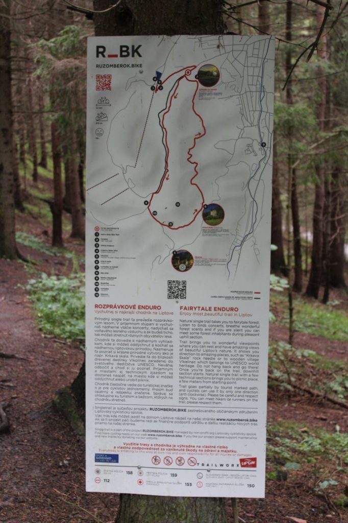
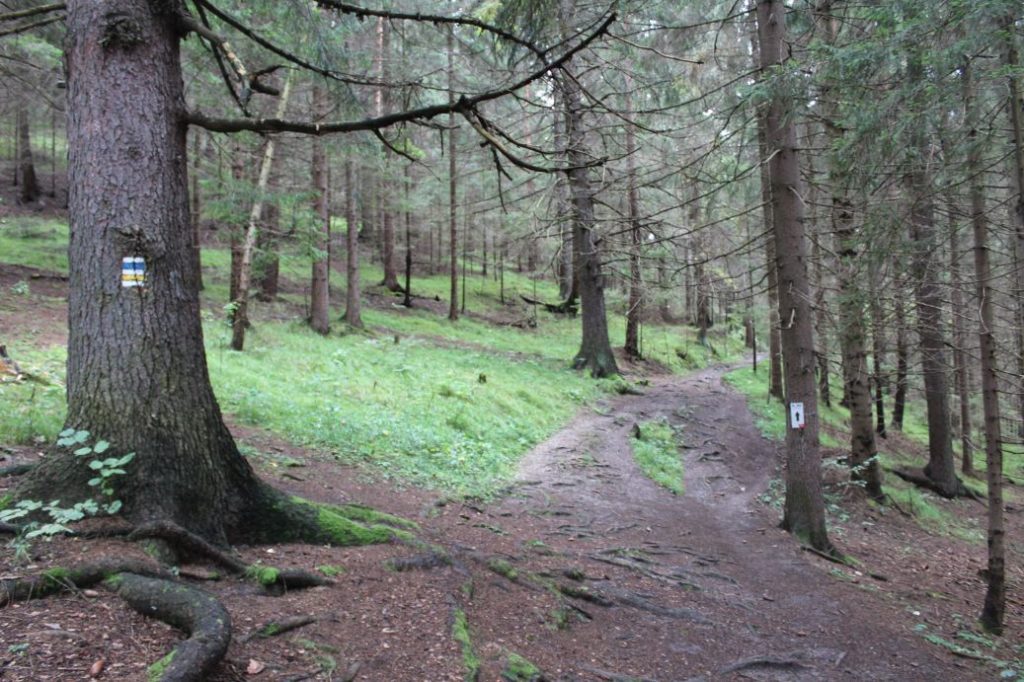
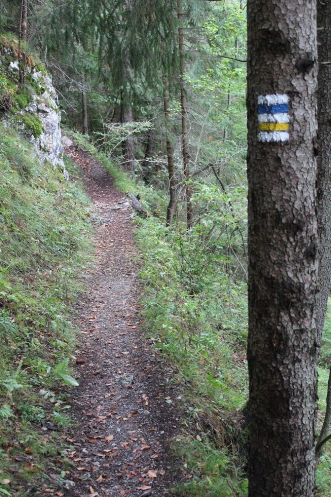
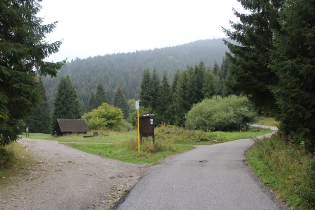
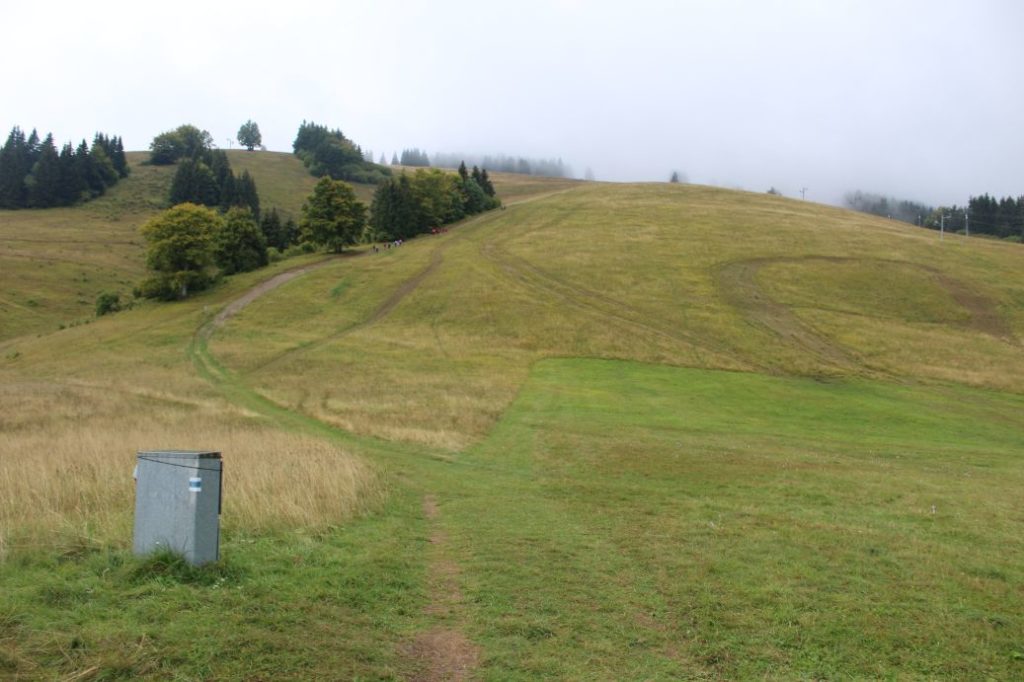
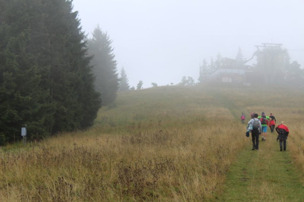
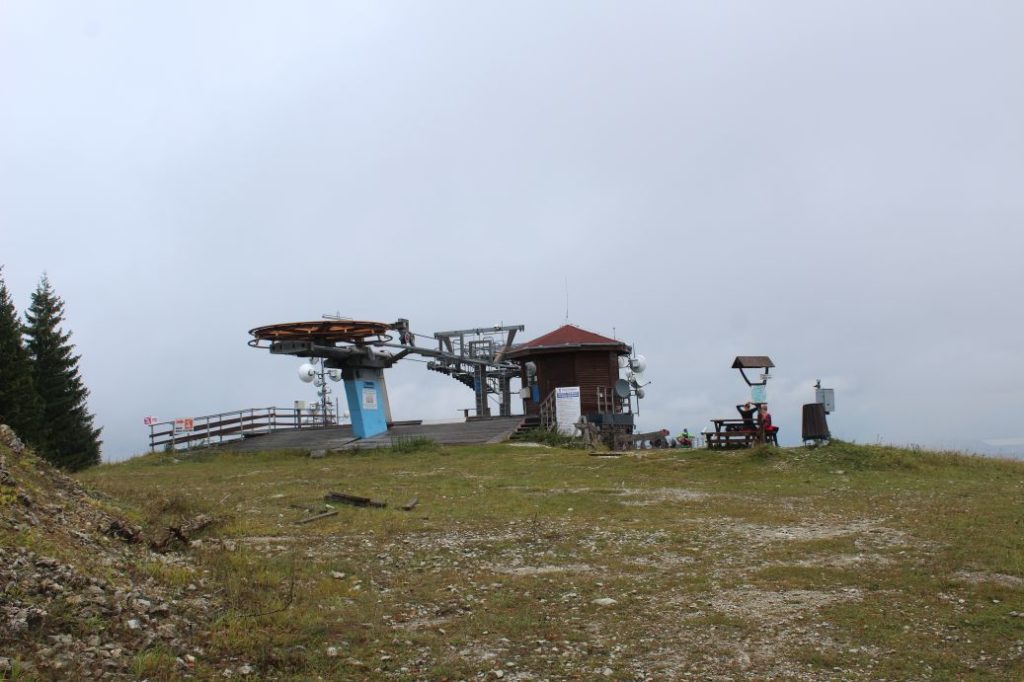
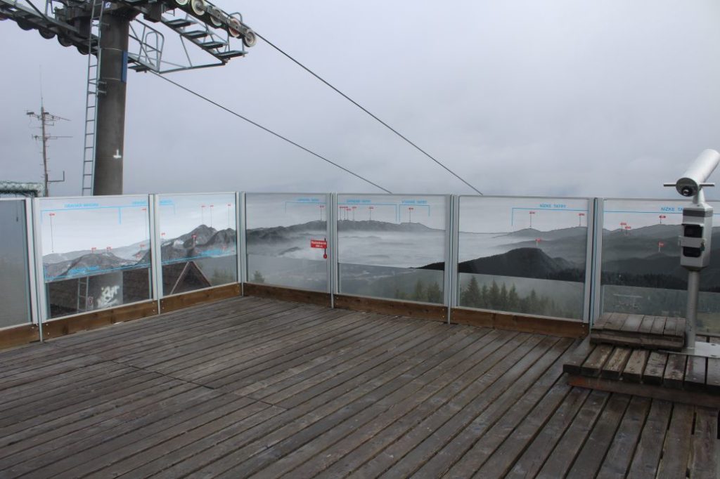
The route begins in the centre of Ružomberok, by the Marian Column at Andrej Hlinka Square, in front of Ružomberok’s town hall. Together with the red and the green marked trails, it runs through the historic square on a path through the protected tree alley, to the opposite end of the square to the former Piarist complex (a monastery, a school and a church), passing by the complex from the left. At the nearest intersection, the green trail disconnects. After a few meters, a blue bike trail joins the route, and together with the red hiking trail, they lead us to the beginning of Ružomberok’s Calvary, where we see an educational panel about Ružomberok’s Calvary. The route continues steeply uphill in between the chapels of the Calvary and past the church, to the signpost at the Calvary. Situated here is a sitting area and an information panel about the attractions in the town, including panorama and description. On the other side of the panel, you can find a map of the closer and wider surroundings. From the Calvary, you get a lovely view of Ružomberok with peak Mních rising above the town, the Likava Castle, the Choč Mountains and a part of the West Tatras. At the signpost, the red-marked trail disconnects and continues up the meadow to the ridge. The route continues on the asphalt road towards the woods, where you will find a schematic map of the Great Fatra National Park. A few metres after passing by the map, you will see a signpost titled “Za Kalváriou“, at which the route turns to a path on the left, disconnecting from the blue-marked bike trail and connecting to a yellow-marked hiking trail. The trail enters the woods, where it is joined by a one-way bike trail running in the uphill direction (“Singletrail Rozprávkové Enduro”). Copying the terrain, trail runs mildly uphill through the woods, in which there are various rock formations situated at the top part. Finally, through a short downhill section, the trail runs down onto an asphalt road and then continues to the periphery of the woods at “Vlkolínske Lúky” (Vlkolínec Meadows). In the vicinity of the signpost, there is a wooden shelter with a sitting area and an educational panel of educational trail “Medvedia Cesta” (The Bear’s Path). At the signpost, the accompanying trails disconnect and the red hiking trail connects to our route, the one that disconnected from us at the Calvary and passed through the ridge of Sidorovo. Running continuously uphill, the asphalt road leads us past cabin Chata Skalka, at which we can see non-standard marking similar to the official hiking marks, to ski resort Malinô Brdo. At the signpost, the route turns left and continues to the left periphery of the main ski run, passing by a refreshment establishment and a ski tow for kids. A steep uphill path leads us by the trees, above which there are lines of the artificial snow system, serving as guidance. As we are walking up, we are getting more and more views of the surroundings, the higher we are, the more interesting views we get. The route continues directly uphill all the way to the top, where it approaches a wooded area. In front of the wooded area, the route turns slightly to the right and continues mildly uphill all the way to the top station of the chair lift. The station of the lift includes a viewpoint platform with panels describing the objects in the view. The view from the platform includes Oravská Magura with Kubínska Hoľa, the Choč Mountains with Great Choč, the West Tatras with Pachoľa, Baníkovo and Baranec, the Low Tatras with Poludnica, Salatín and Prašivá. You will also get a view of the Liptov Basin and a part of the High Tatras with dominant peak Kriváň. A few metres farther from the lift, there is a hiking signpost, at which this route ends.
Safety:
The route belongs among the safe ones. In damp weather, the path in the woods above the Calvary becomes slippery. The path at the periphery of the ski run is very steep and slippery, even in dry weather. In the woods above the Calvary, there is traffic of cyclists, but only in the uphill direction. On the road to the ski resort, there is traffic of downhill cars, scooters, bicycles and also motor vehicles. During summer, the route is suitable for kids over the age of 5, but in some sections, parents/accompanying persons need to supervise / hold the kids. In the section on the ski run, the route is also not suitable for persons with reduced mobility. In winter, in particular on the way up and down the ski run, you will need to use climbing irons / crampons. In winter, pay great attention to the skiers and only stay at the periphery of the ski runs. During winter, the route is not suitable for children.
Marking on the route:
The marking on the route is sufficient, all turns are marked, only sometimes you need to look for the marks covered by growth, or located a bit farther away. The marking of the route on the way down is less visible, but still sufficient. In winter, the marking on the ski run is limited, therefore you need to follow the periphery of the ski run and continue straight up.
Notes:
– The trail is accessible all year round.
– Passing of the route in the opposite direction takes approximately 2:00 hours.
– At the top station of the chair lift, you will find a map of ski runs, a map of downhill tracks for cyclists and a sitting area.
– At the beginning of the route, there is a map of the Great Fatra National Park.
– There is a parking lot at the beginning of the route.
– Situated near the beginning of the route is a grocery store, restaurants, refreshment establishments and an accommodation facility.
– There are buses of the Ružomberok public transport system running to the beginning of the route.
– There is a cable car lift running to the ski resort.
– At the ski resort, you will find a restaurant and refreshment establishments.
– There are no man-altered springs with potable water located on the route.
– The section of the route between signposts ”Za Kalváriou“ and ”Vlkolínske Lúky“ can be passed on the asphalt road running along the blue-marked bike trail.
– An educational trail called “Medvedia Cesta” (The Bear’s Path) is crossing the route.
The route was reviewed in September 2021.

