Nová hoľa - Zvolen - Malý Zvolen - Nižná Revúca
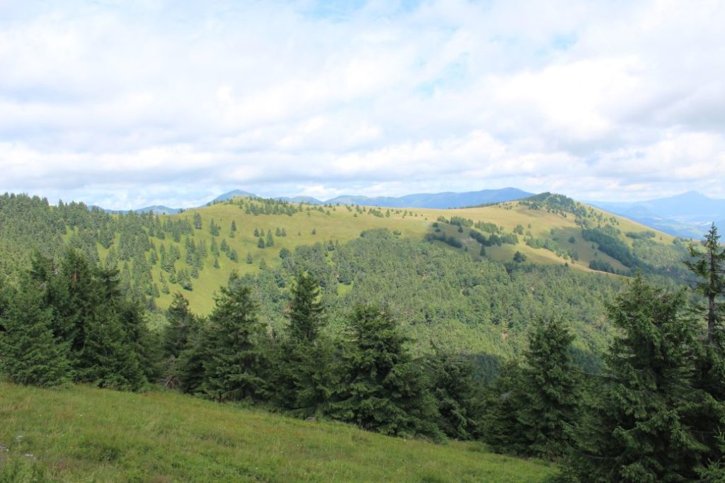
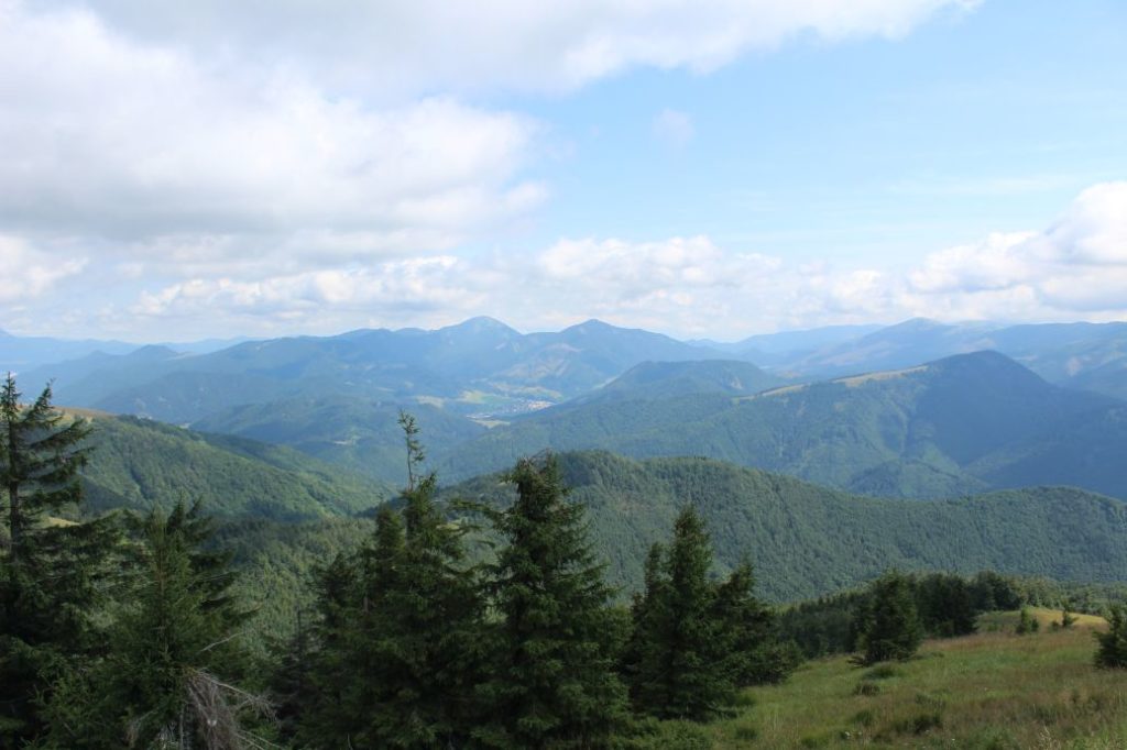
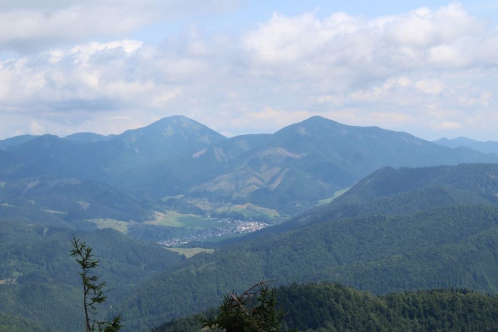
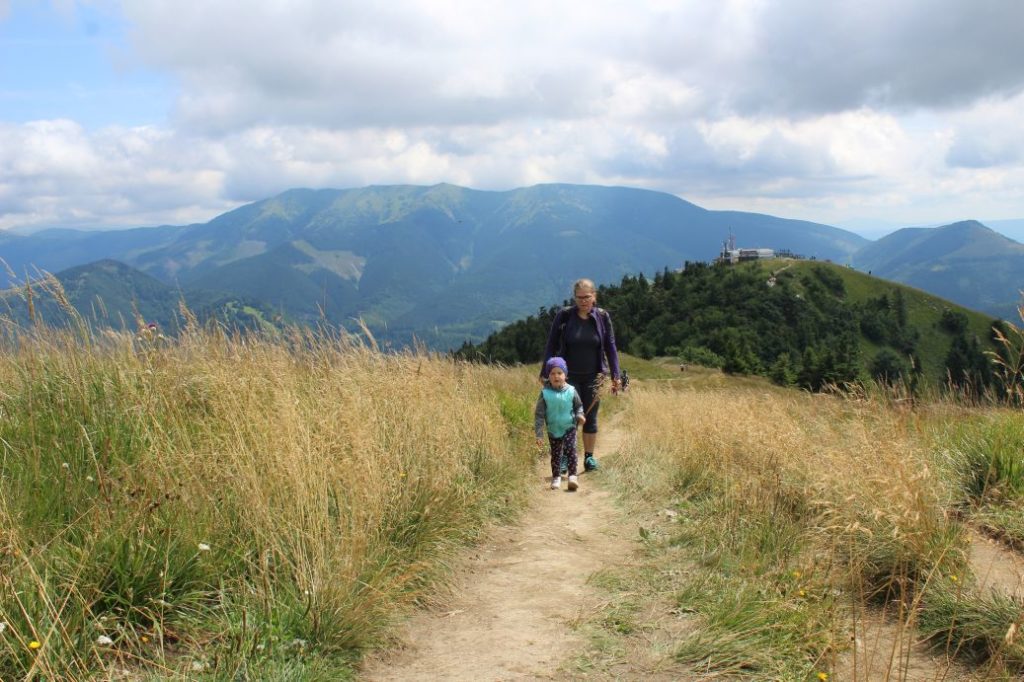
The trail runs from the top station of the lift at Nová Hoľa. It continues through the ridge to peak Zvolen, and then through a meadow ridge to Malý Zvolen, from where it runs down to Nižná Revúca on a ski run. You are able to see the Low Tatras and the Great Fatra almost along the entire route.
Number of the route: 8607
Colour: Yellow
Length of the route: 6.7 km
Vertical distance: Ascent: approx. 150 m / Descent: approx. 840 m
Time of completion: 2:20 hours
Reference points for orientation:
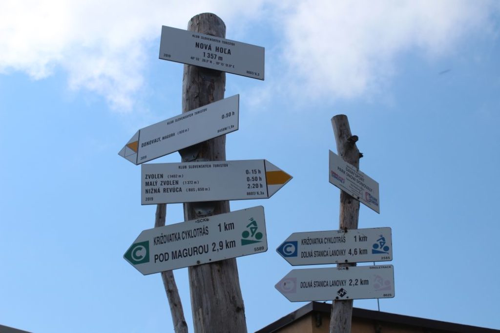
1. Nová Hoľa 1357 m
2. Zvolen 1402 m
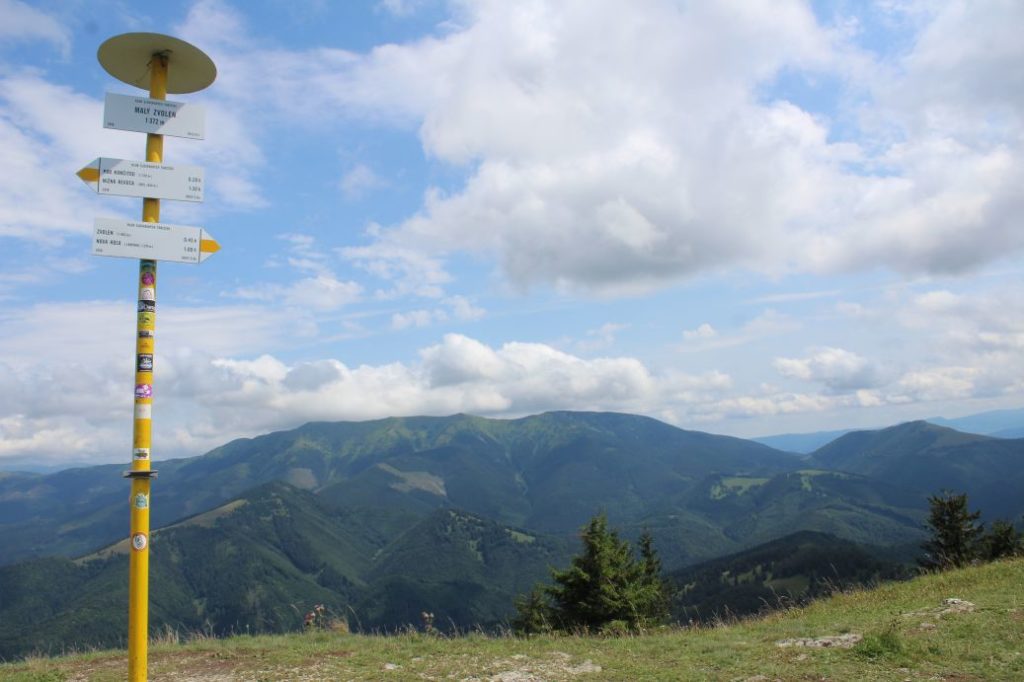
3. Malý Zvolen (Small Zvolen) 1372 m
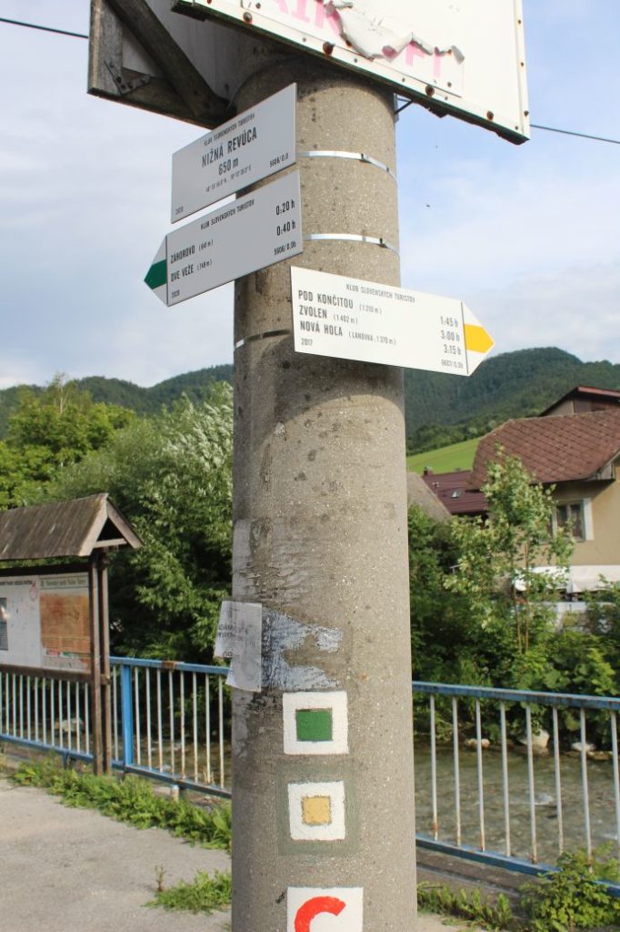
4. Pod Končitou 1210 m
5. Nižná Revúca 650 m
Route description:
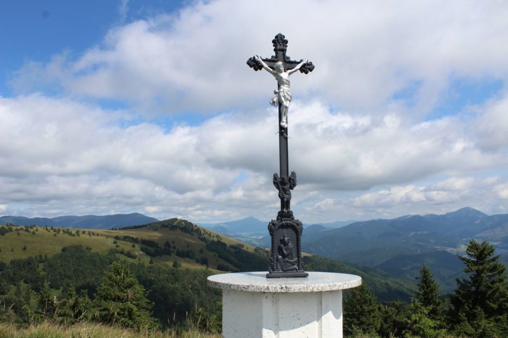
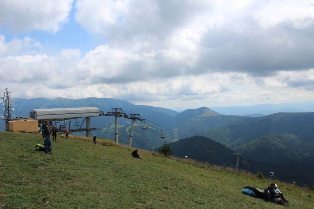
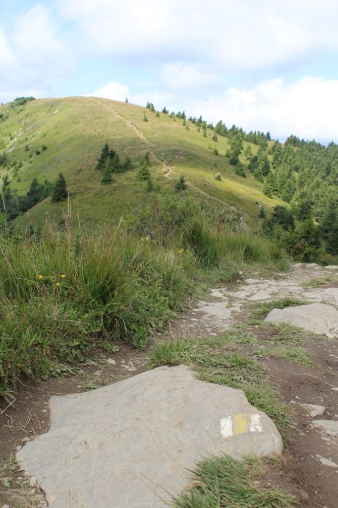
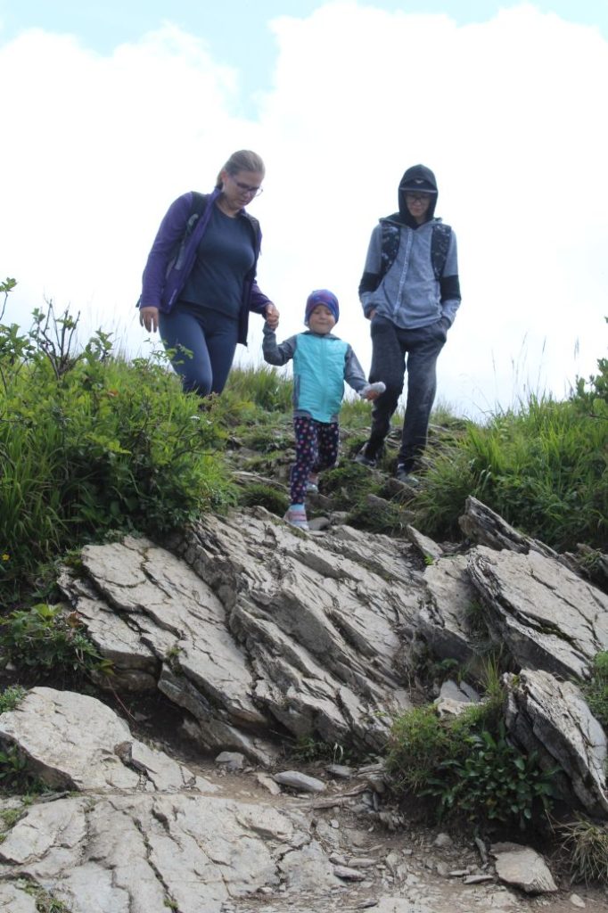
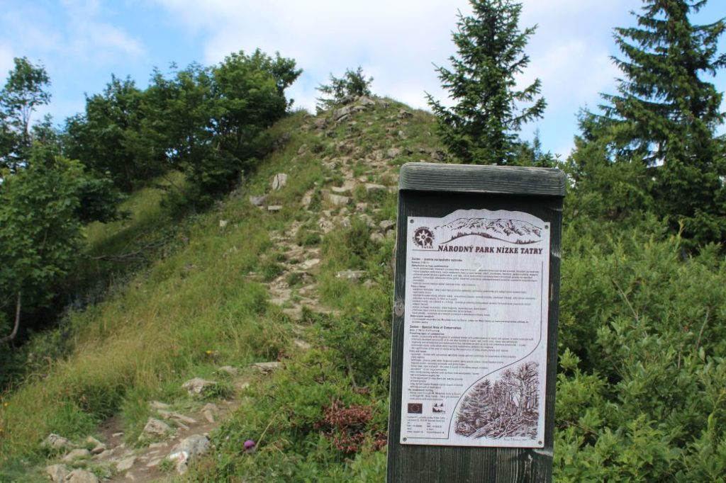
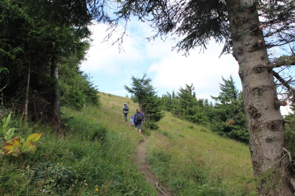
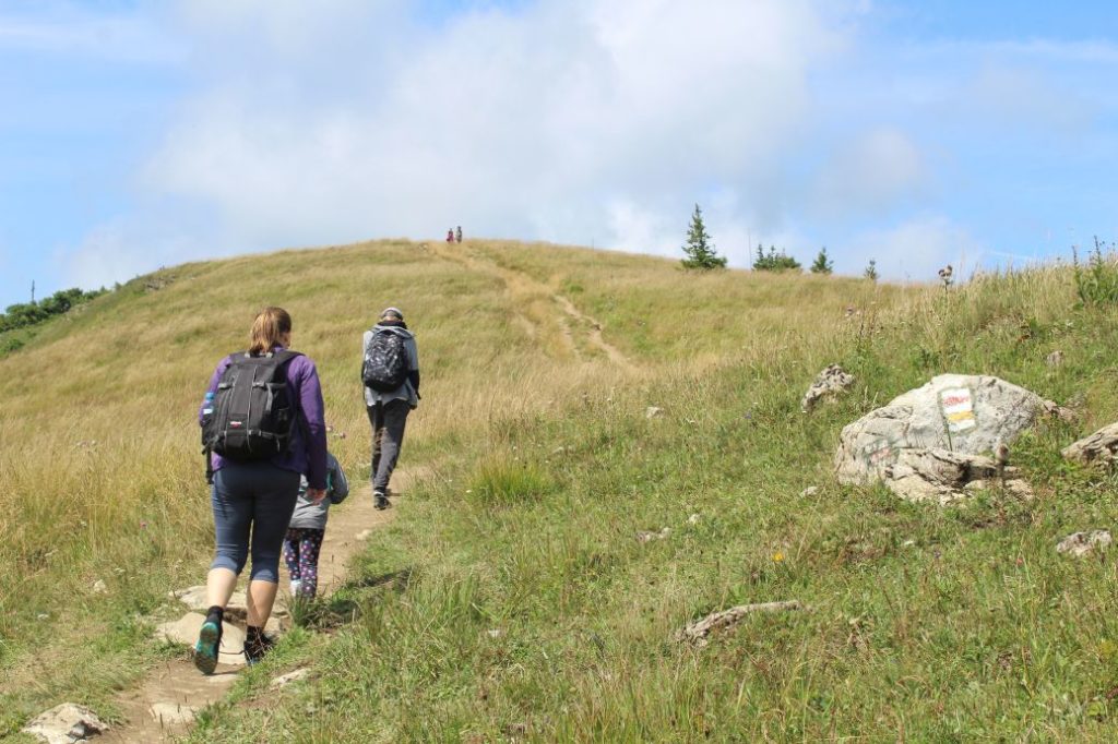
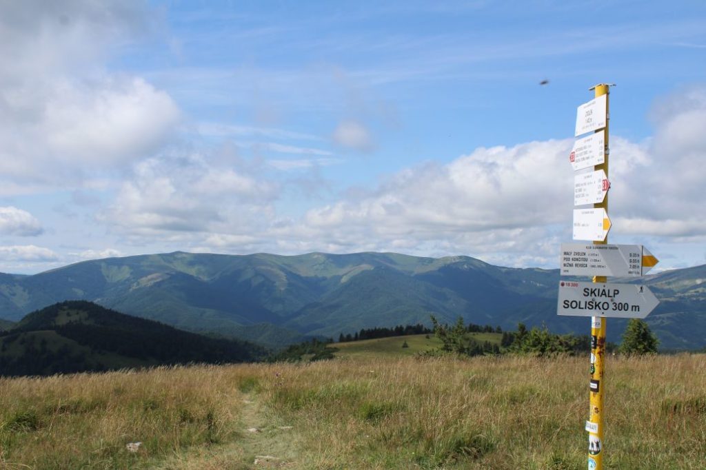
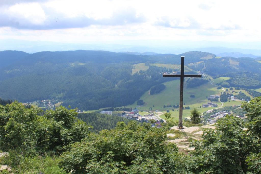
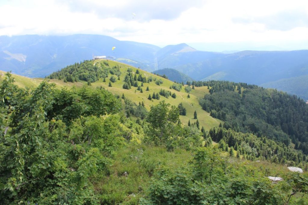
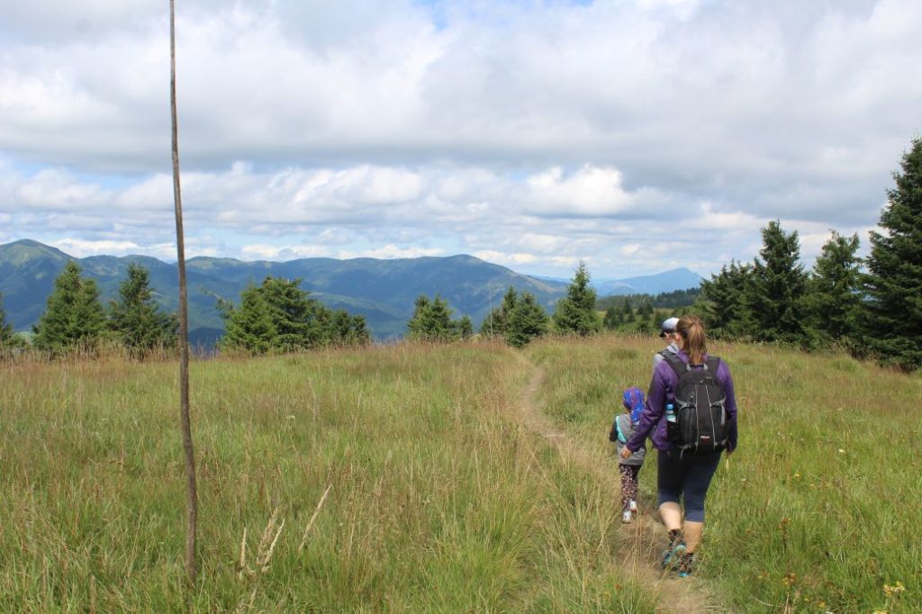
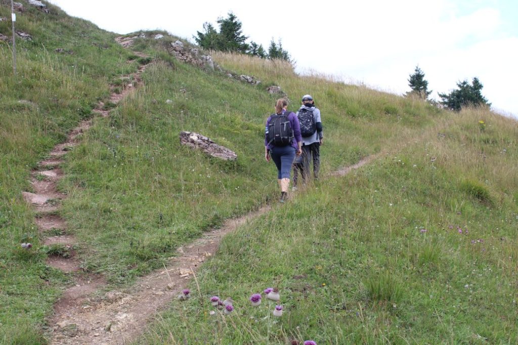
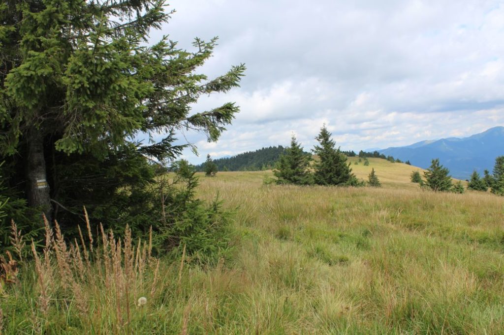
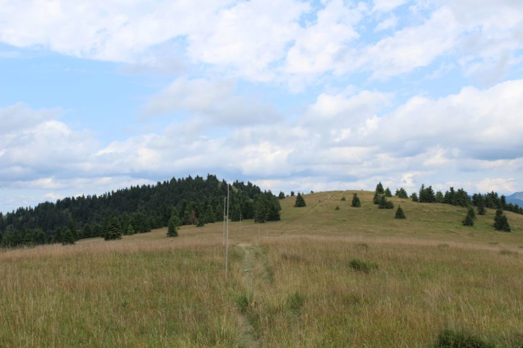
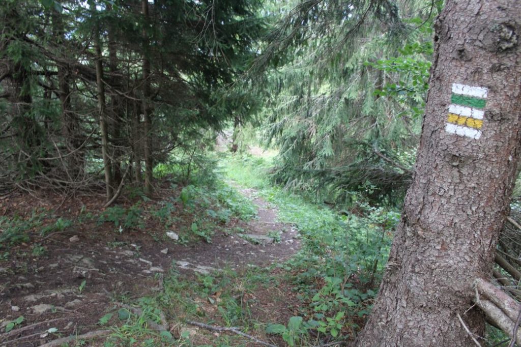
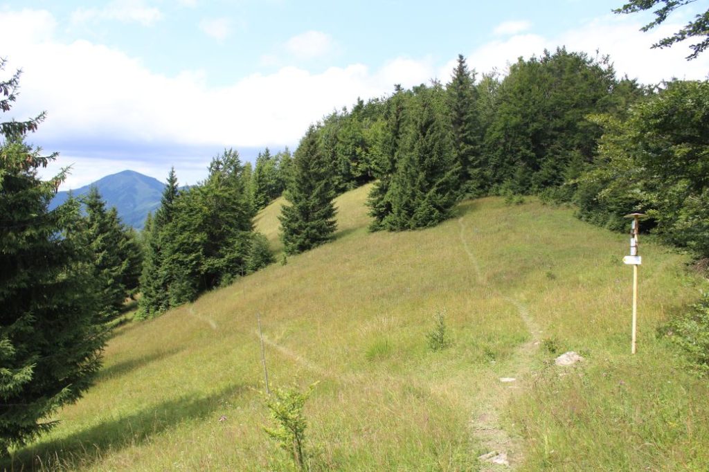
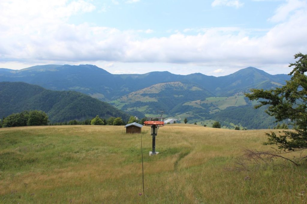
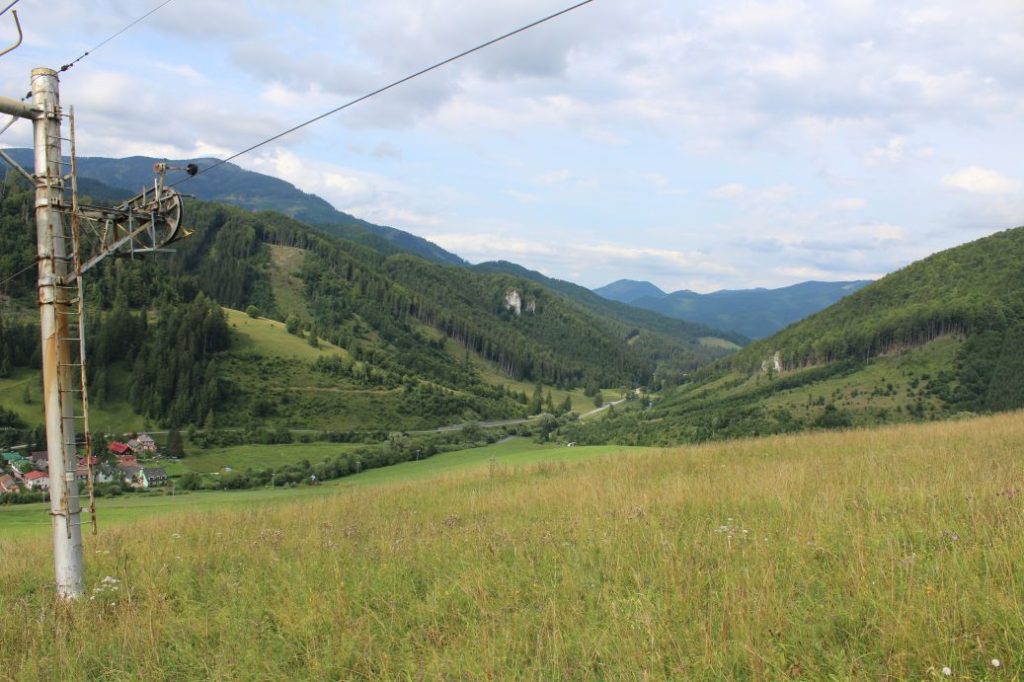
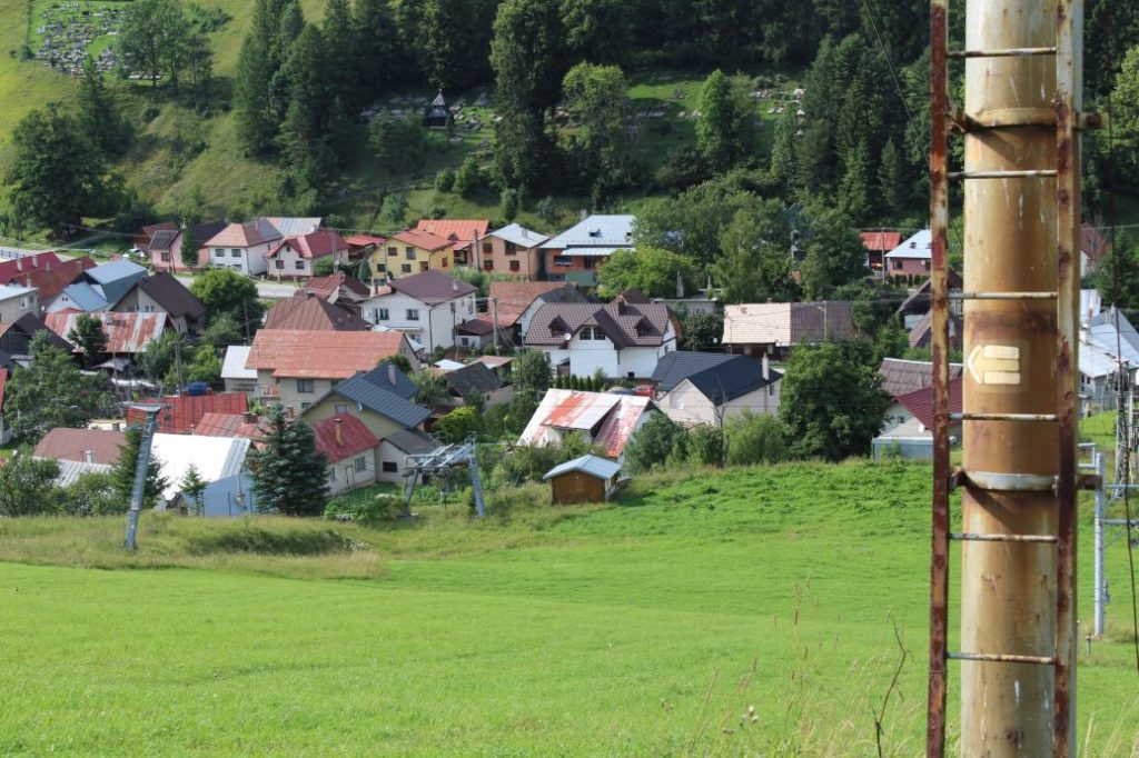
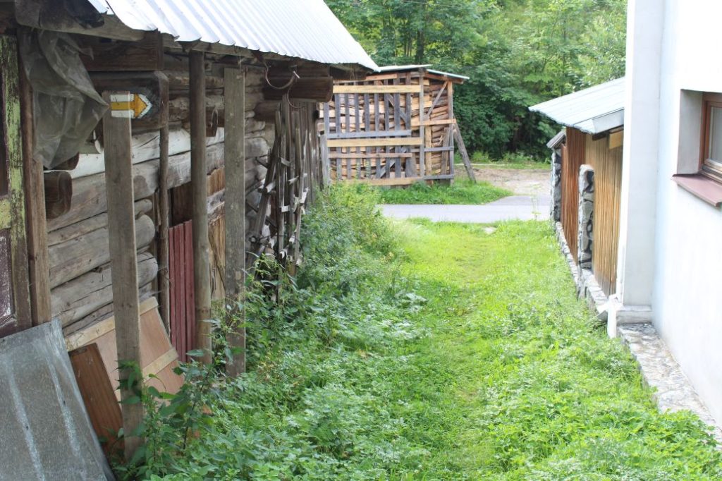
The route begins by the top station of the lift Donovaly – Nová Hoľa. From the signpost, it continues to the west, to the peak of Nová Hoľa situated a few metres away, at which you will find a small metal cross. From the peak, you will get the view of Zvolen and Small Zvolen, with the Great Fatra in the background. Rising at the north is Great Choč. The east view consists of the Low Tatras with the ridge of Prašivá, and hills such as Salatín, Fedorka, Červená Magura, Brankov and many more. In addition to that, we can admire peak Kozí Chrbát with the Staré Hory Mountains, Poľana, the Vepor Mountains or the Kremnica Mountains. From the peak, the route runs down on initially rocky and later muddy and slippery trail through trees and bushes, to the notch in front of Zvolen, where you will see a panel about Zvolen, a territory of European importance. At the notch, a red-marked hiking trail running from Donovaly connects to our route and continues with the route, at first below the ridge (on the right side). On clay terrain, the trail runs up to the ridge, on which it continues until arriving at the signpost situated at peak Zvolen. Situated below the peak is a rocky viewpoint with a wooden cross, from which you can see Donovaly. The views from Zvolen and from the rocky viewpoint are a little bit nicer than the ones at the beginning of the route, especially the view of the Great Fatra. The route turns north and disconnects from the red trail. We continue on meadow terrain, mildly downhill. The trail maintains a steady direction, under-running the grass-covered rocky elevations from the right. Along the entire meadow path up to the ascent to Small Zvolen, we are able to see views, at first of the Low Tatras and later of the Great Fatra as well. The ascent to peak Small Zvolen is short and runs mildly uphill. The peak offers views in particular of the Low Tatras and partially of the Great Fatra. The route begins to run mildly downhill, simultaneously with a green-marked hiking trail. After a few minutes of walking, the descent becomes steeper. We are descending on clay terrain, which is often muddy and slippery. The steep downhill section continues almost all the way to the signpost at the area called “Pod Končitou” (below Končitá). At the intersection, the green-marked trail disconnects and our route continues to the left, running mildly downhill in the slope of Končitá. The trail will lead us to a meadow ski run with ski tows. At approximately two hundred metres to the right, behind old shepherd’s huts, there is a spring with potable water. The route continues down the ski run, along the right periphery. During our descent down the ski run, we can admire the views of a part of the Great Fatra. At the end of the ski run (before the last post of the ski tow), the route moves to the left, below the poles of the electric power line, onto a path running behind the fences of the family houses. Passing in between the houses, the trail will lead us to Liptovské Revúce, more specifically the part of Nižná Revúca, to the valley of Veľký Hričkov. Then we continue on an asphalt road in between the houses, to the Revúca River. The very end of the route is located by the bridge, behind the Revúca River, at a bus stop.
Safety:
For the most part, the route runs on safe terrain, mostly on meadow paths, and on two steeper and slippery downhill sections. The most dangerous section of the trail is the descent from Nová Hoľa to the notch in front of Zvolen, where the terrain is usually damp and slippery, even in dry weather. Another relatively difficult section is the descent from Small Zvolen to the area below Končitá. This section also includes places with steep, damp, muddy and slippery terrain. The route is suitable for children from the age of 7, however, you need to hold the children when passing through the above-mentioned sections. In winter, there is usually a thick layer of snow on the route, the pole marking will lead you through safe terrain.
Marking on the route:
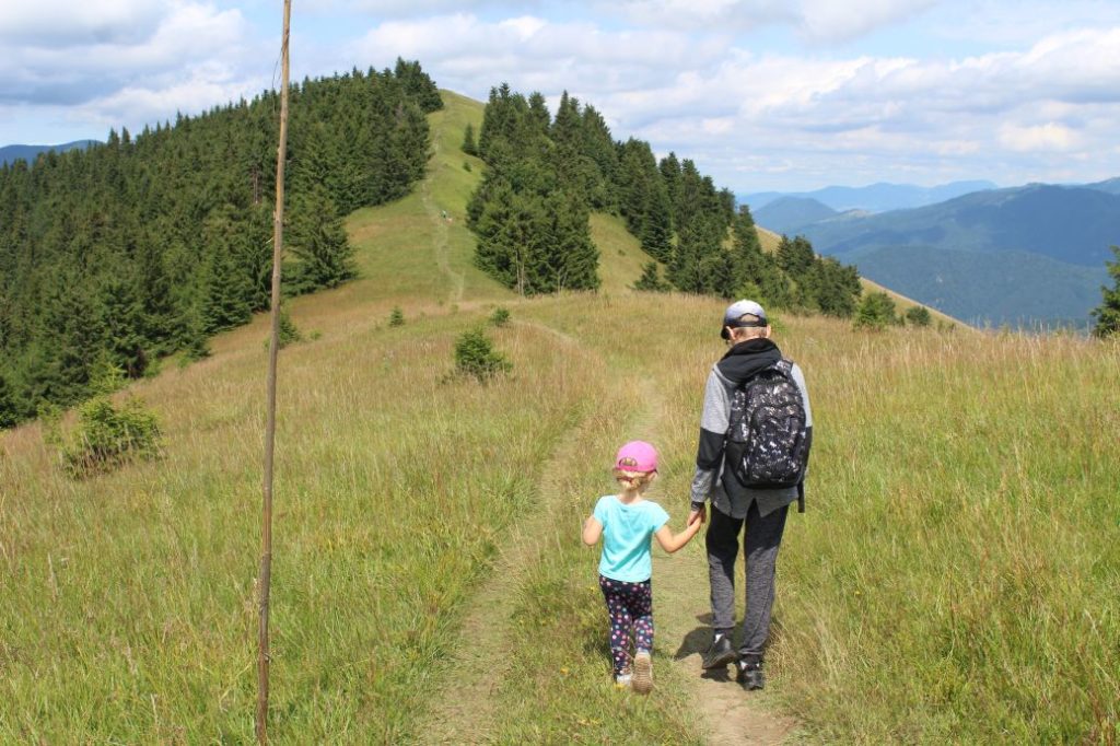
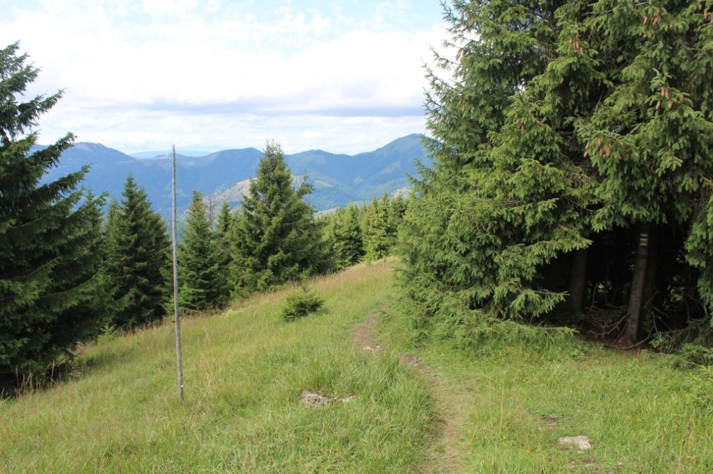
The marking on the route is sufficient, as a large portion of the route has winter pole marking as well. The winter pole marking leads from Nová Hoľa all the way to the ski runs above Nižná Revúca. In particular in the meadow sections, the marks are poorly visible, however, the pole marking usually leads us directly along the route, or a few metres away from the route paths which are used and clearly visible.
Notes:
– Walking the route back (ascent) takes approximately 3:15 hours.
– The easiest way to get to the beginning of the route is using the lift from Donovaly or walking along the red-marked hiking trail, also from Donovaly, to which we can ride a regular-line bus from Ružomberok.
– At the beginning of the route, there is a sitting area, view panels and a picture frame.
– The trail is used all year round.
– We recommend using hiking poles at the downhill sections.
– From the signpost at Pod Končitou (below Končitá), it is an approximately 15 minute detour to the peak of Končitá (in total, there and back).
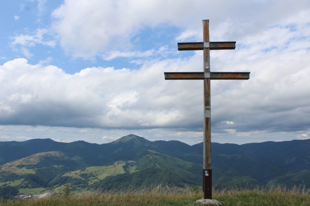
– At the peak of Končitá, there is a wooden double cross with a panoramic view of the Low Tatras and the Great Fatra.
– At the end of the route, there is a grocery store and a refreshment establishment.
– In the summer months, you will find plenty of wild berries directly by the trail, such as blueberries and raspberries.
The route was reviewed in August 2021.

