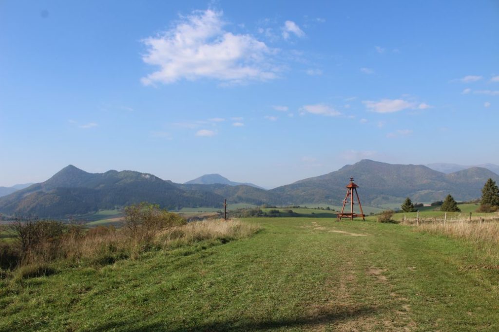
Viewpoint “Štyri Chotáre” below peak Hrádok
A viewpoint area at the intersection of field roads, at the meeting point of cadastral areas of four different towns.
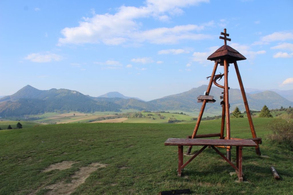
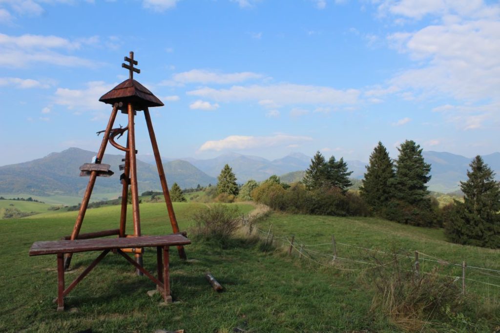
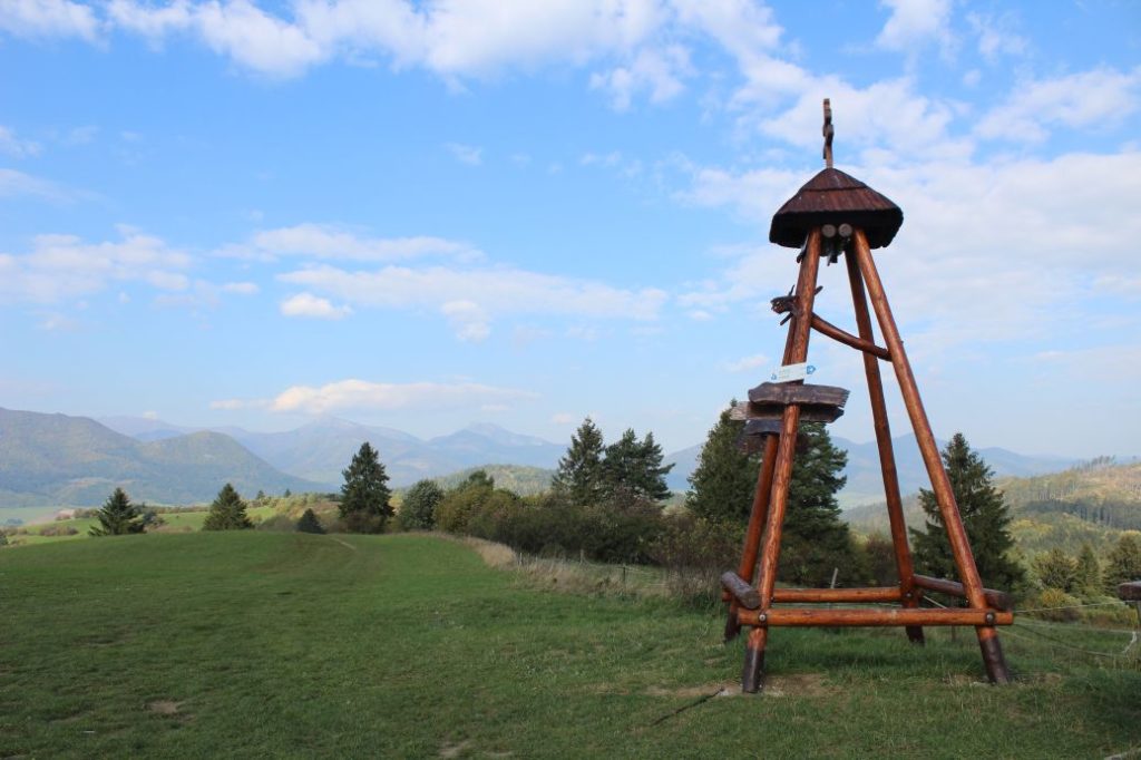
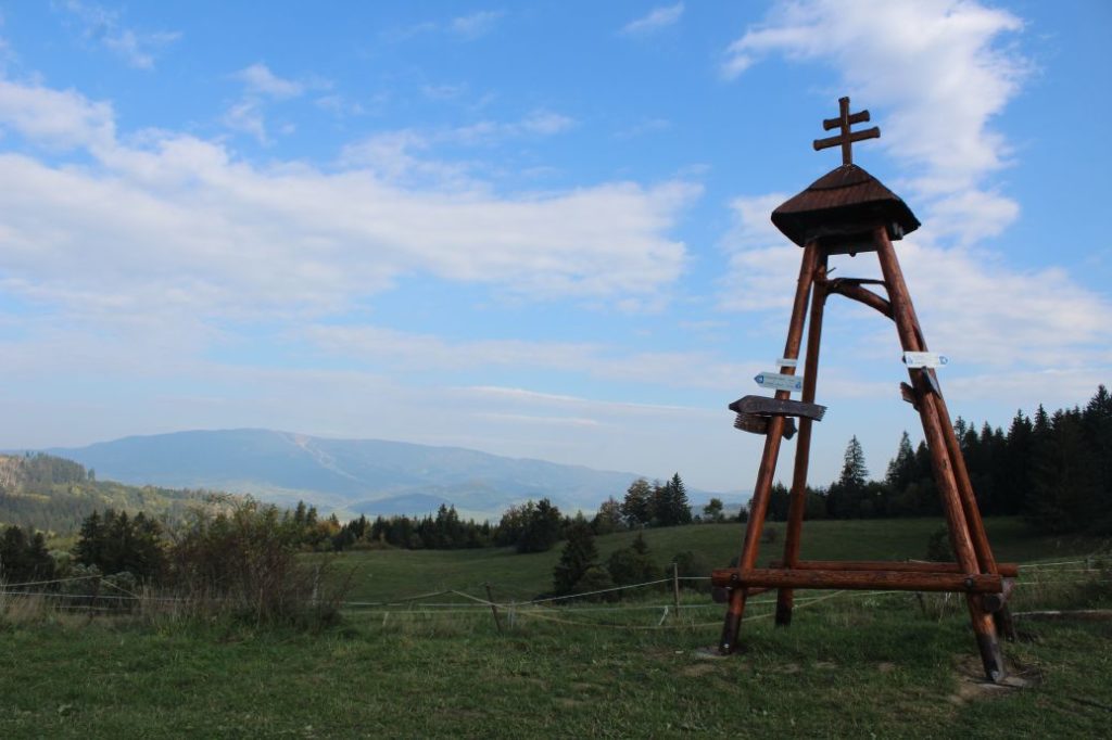
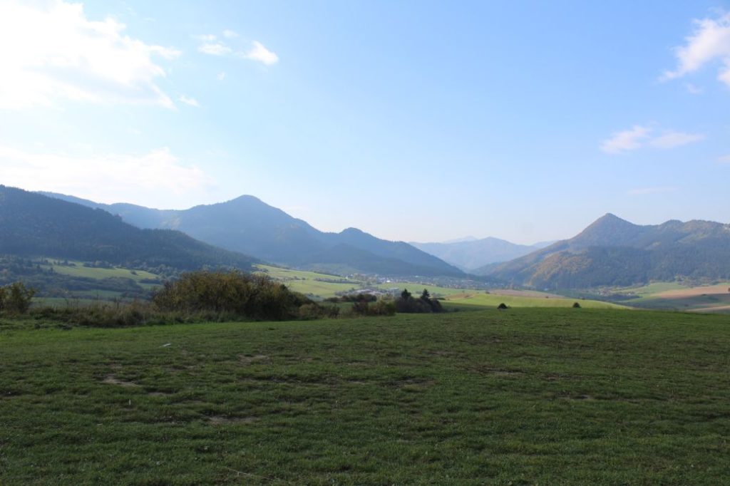
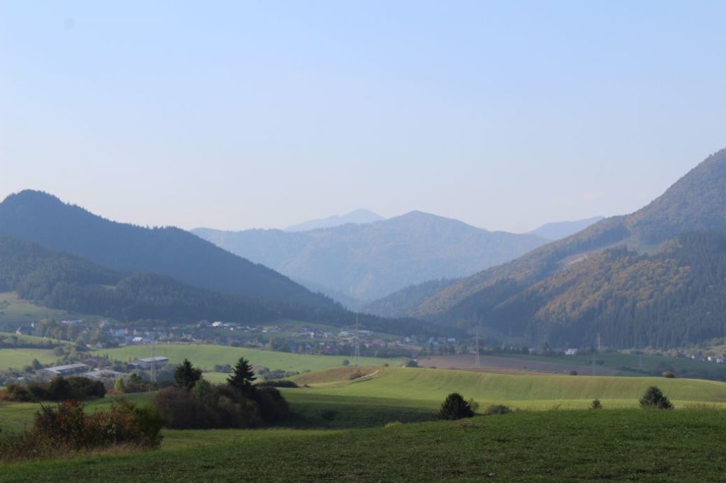
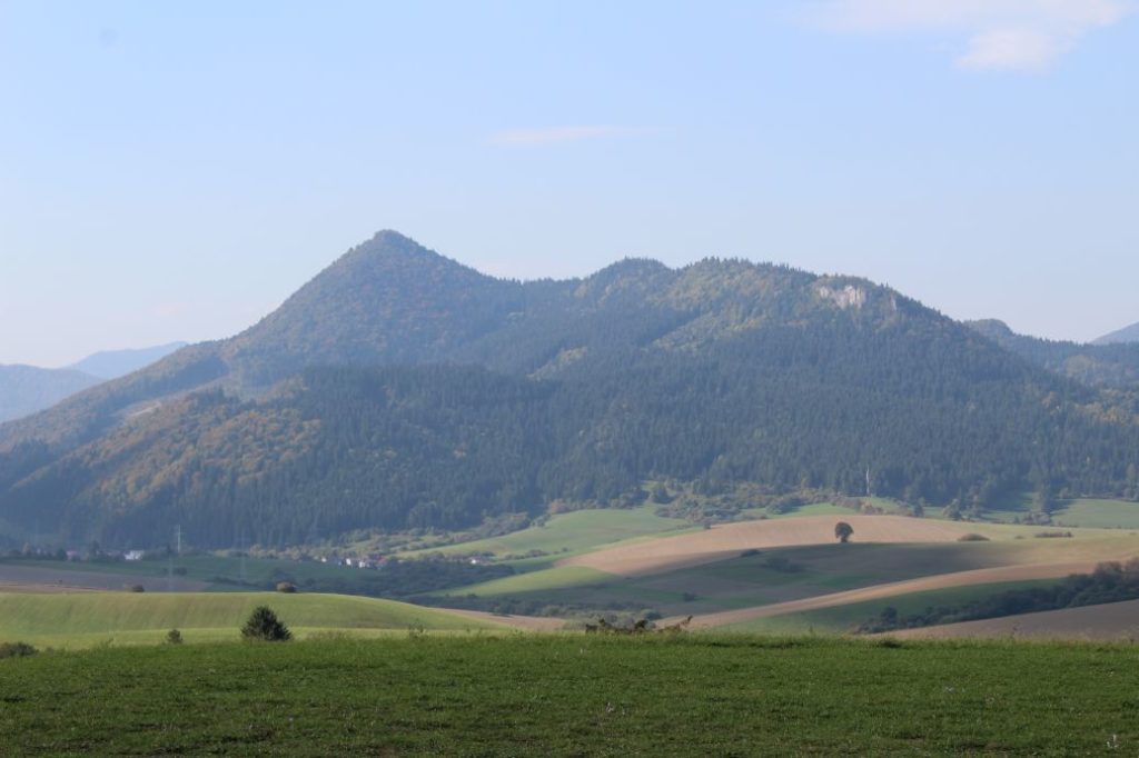
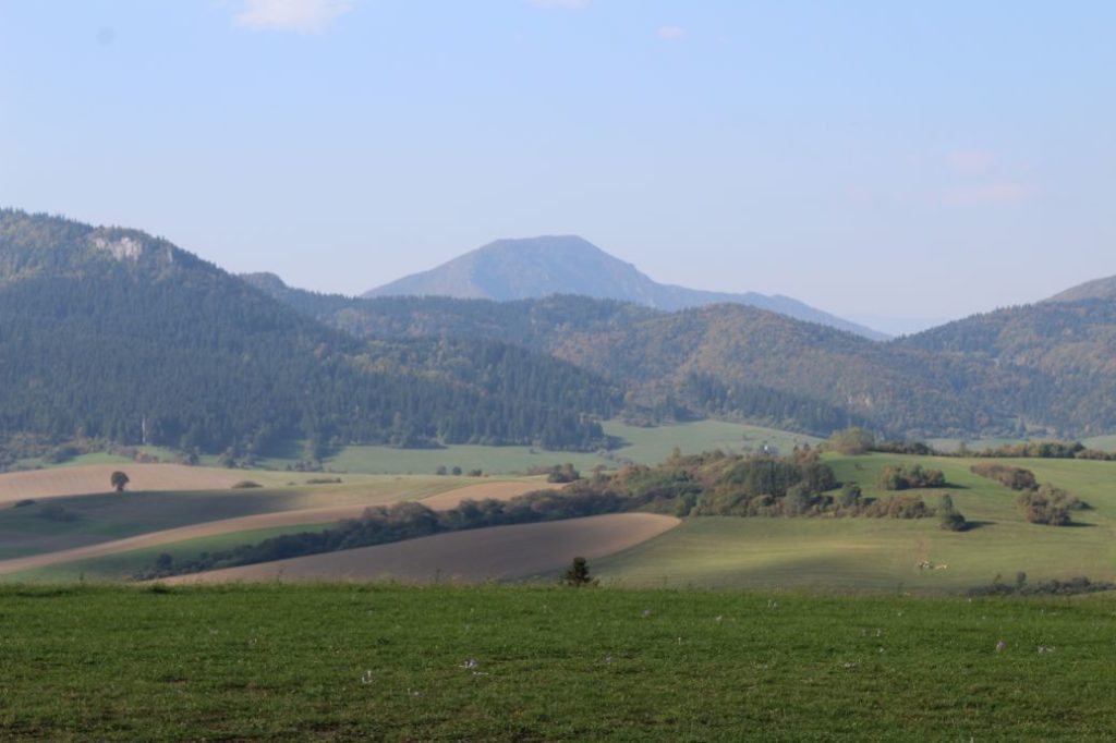
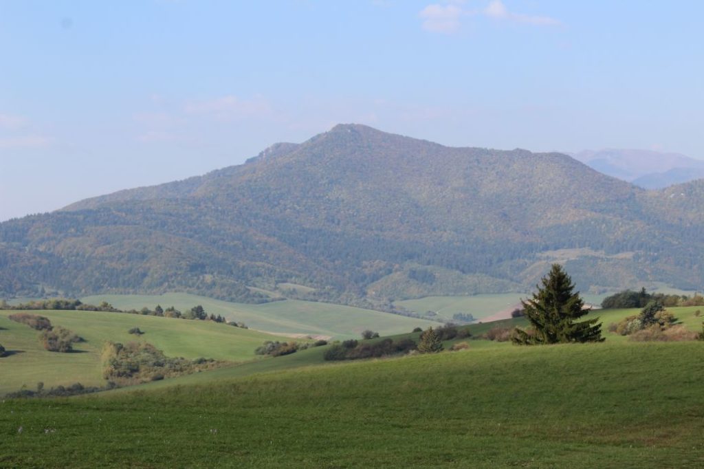
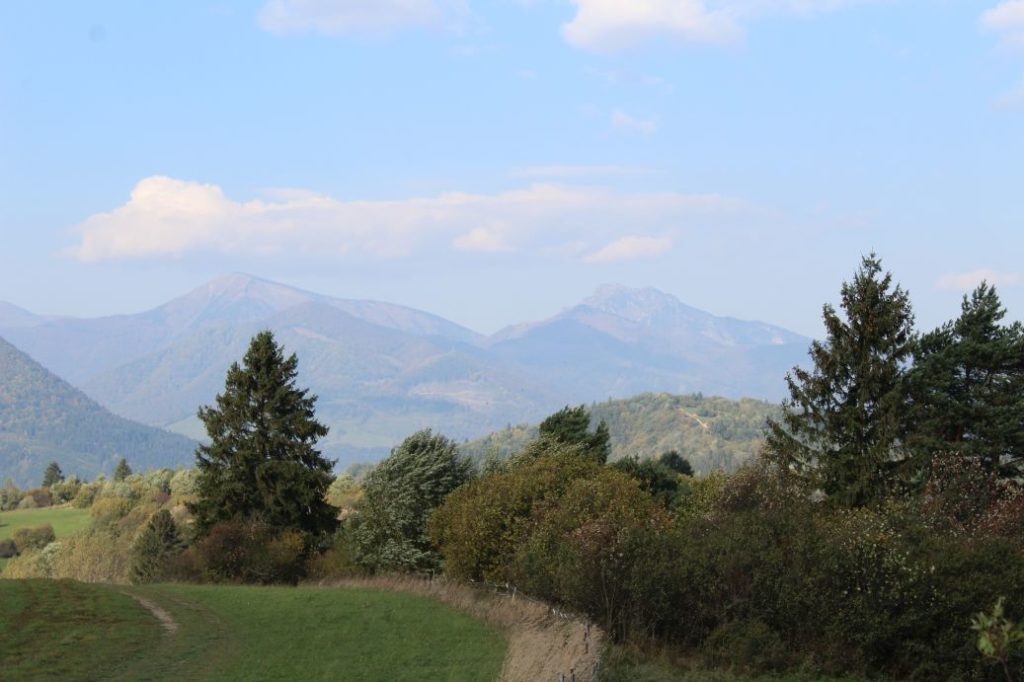
It is situated north of Ružomberok, near the town of Komjatná. It is a part of the Oravská Vrchovina mountain, more specifically the part of Podchočská Brázda. The viewpoint is situated at 717 m.a.s.l. It is located 9 km away from the centre of Ružomberok (as the crow flies). The viewpoint consists of a meadow below the woods, with a small wooden tower and a sitting area. The viewpoint mainly offers a view of the west, the north and the south. The viewpoint area is indistinct when looking from a distance. From the close vicinity, you can spot the wooden tower.
It can be accessed along an unmarked field road from the town of Komjatná, or along a marked bike trail from the towns of Jasenová and Žaškov.
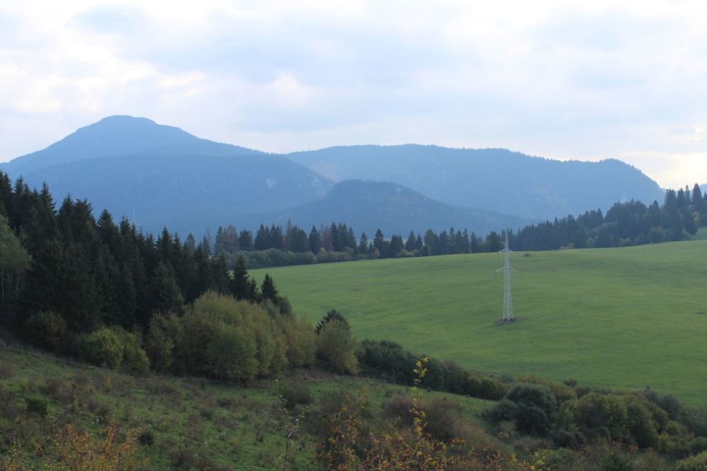
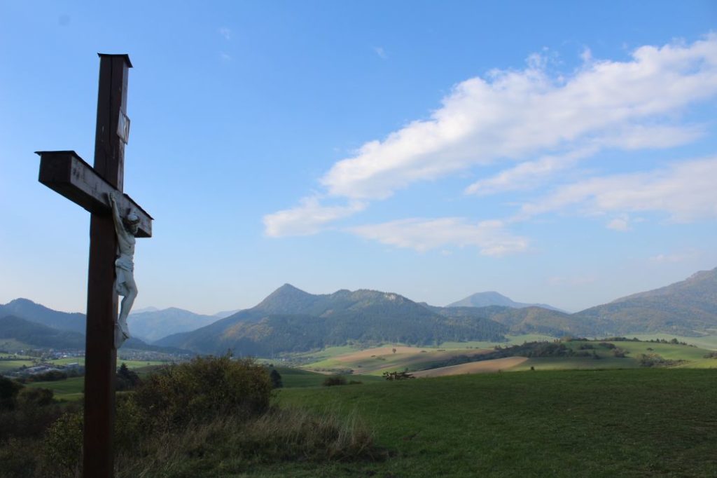
We can get to the viewpoint from Komjatná (from the tourist signpost by bus stop “Komjatná,,Pod Stráňou“). The route is not marked. From the signpost, which points to three directions, you should go slightly uphill, following a fourth direction, which is not shown by the signpost. The path leads to a small hill, where the house row ends and fields begin. At this place, there is a wooden cross. The path turns right and continues slightly downhill. At the nearest intersection, turn left and continue downhill to another intersection. At the intersection, continue directly uphill along the field road leading slightly to the right, to the ridge. At the ridge, go right again, towards the high-voltage poles. The field road running along the ridge passes below the poles and it continues parallel to the poles (on the left side) all the way to a small wooded area, where the viewpoint is situated.
From the viewpoint, you can admire the peaks of Ostré, Hrdošná Skala, Kečka, Kútnikov Kopec, Kopa, Šíp, Poludňový grúň, Osnica, Stoh, Veľký Rozsutec, Kubínska Hoľa and other, less distinct peaks.
Notes:
– Hiking to the viewpoint is possible all year round.
– During rainy weather and after rains, the path is muddy.
– The hiking tour from Komjatná takes approximately 45 minutes.
– The viewpoint has a small wooden tower with a double cross at the top.
– There is also a sitting area.
– There is a wooden cross.
– A few metres below the viewpoint, in the direction to Komjatná, there is a bench with a view of the Great Choč.
– The cadastral areas of the towns are not meeting directly at the viewpoint, but at two locations approximately 150 m away from the viewpoint. One of the locations is the meeting place of towns (Komjatná, Žaškov and Oravská Poruba) and the other location of (Komjatná, Jasenová and Oravská Poruba).

