Liptovská Osada - Žiar, viewpoint
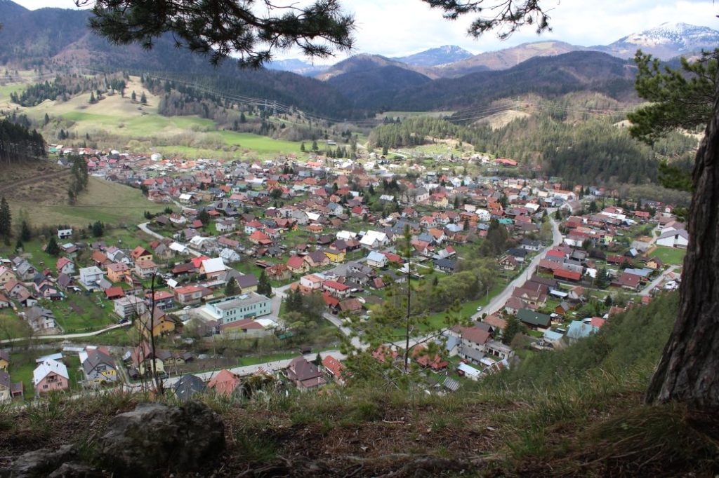
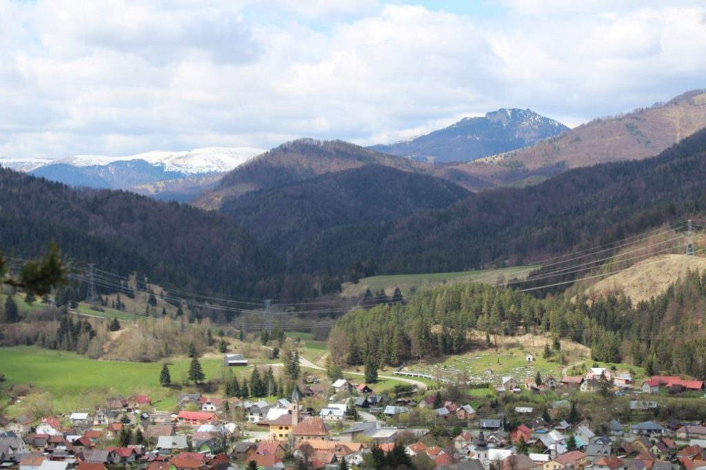
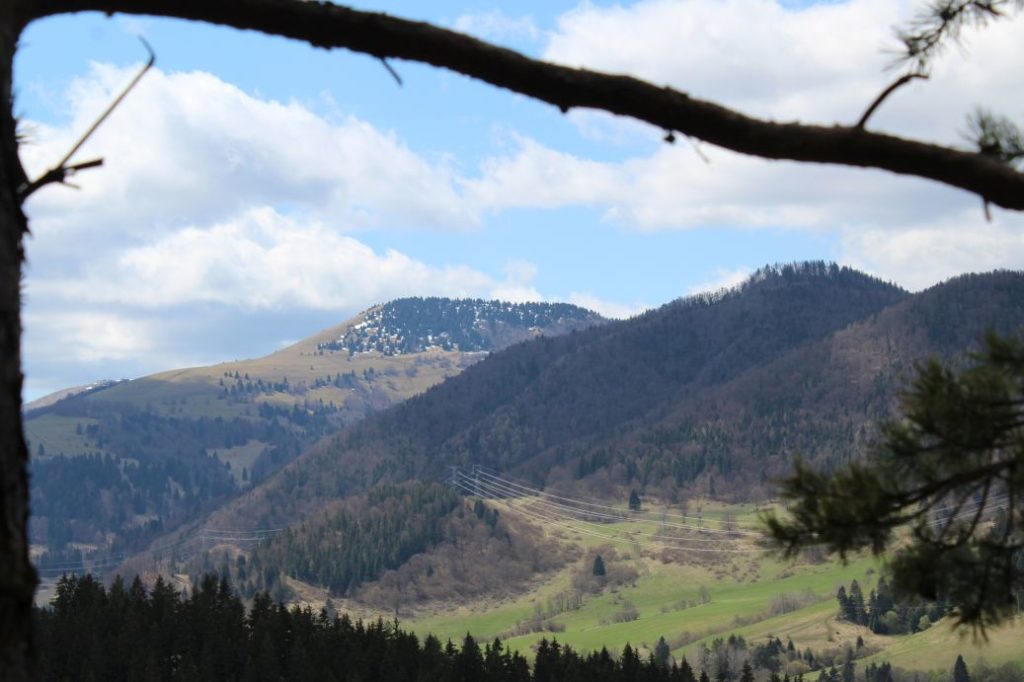
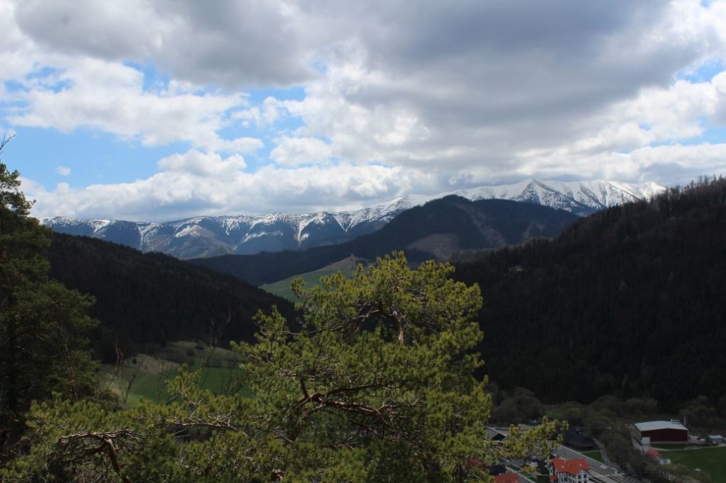
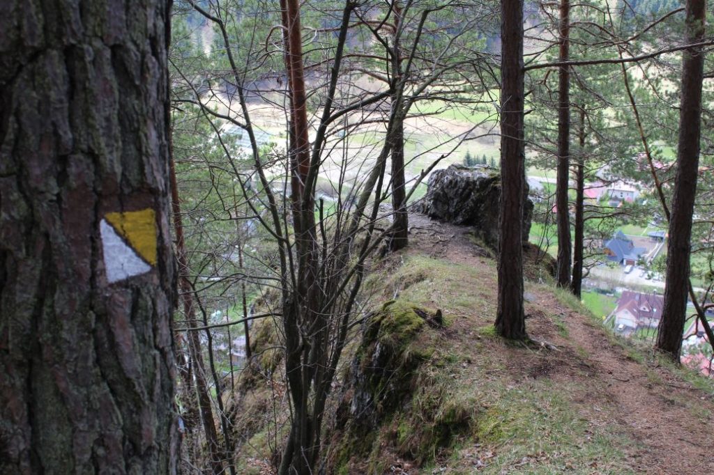
The trail runs from the centre of the village of Liptovská Osada to the bottom part of the rocky massif of peak Žiar, where, situated in a rocky town, you will find a viewpoint area with a view of the village and the surrounding hills.
Number of the route: 8478M
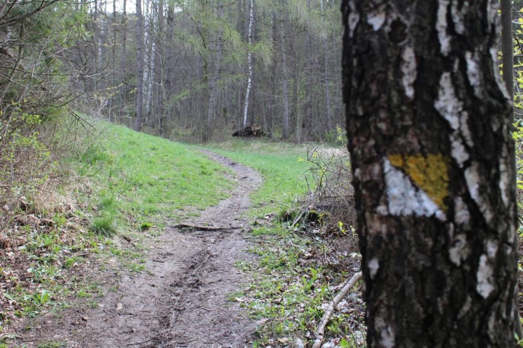
Colour: Yellow
Length of the route: 1.6 km
Vertical distance: Ascent: approx. 140 m / Descent: 10 m
Time of completion: 0:30 hours
Reference points for orientation:
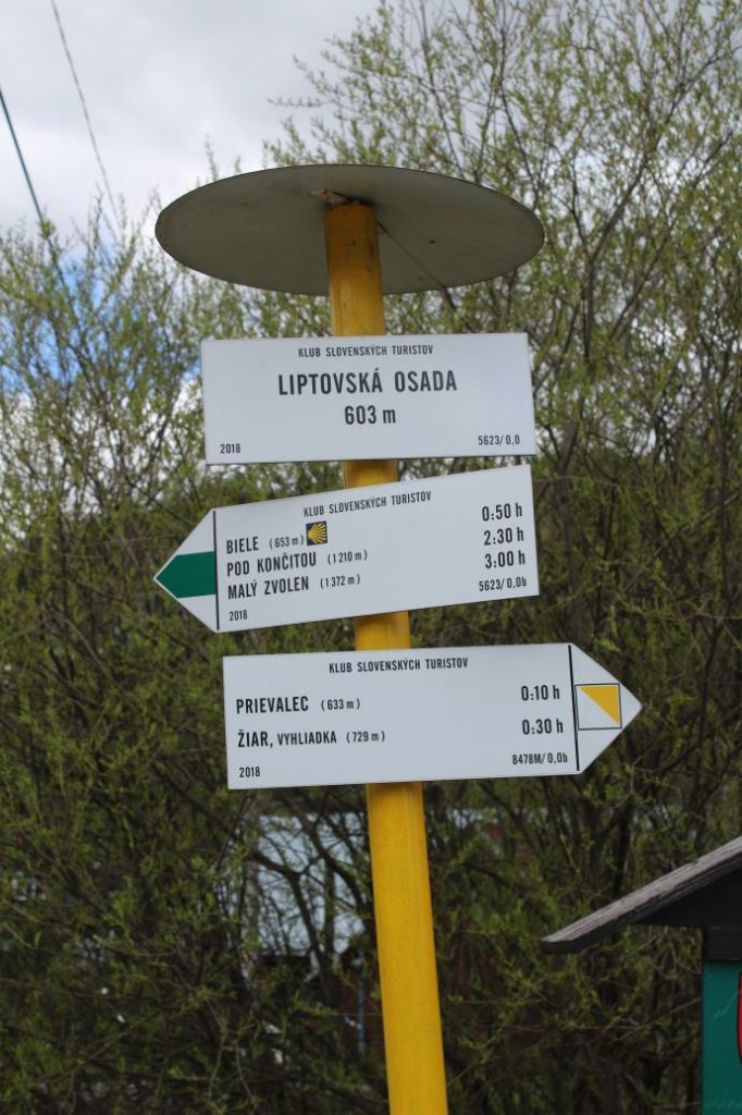
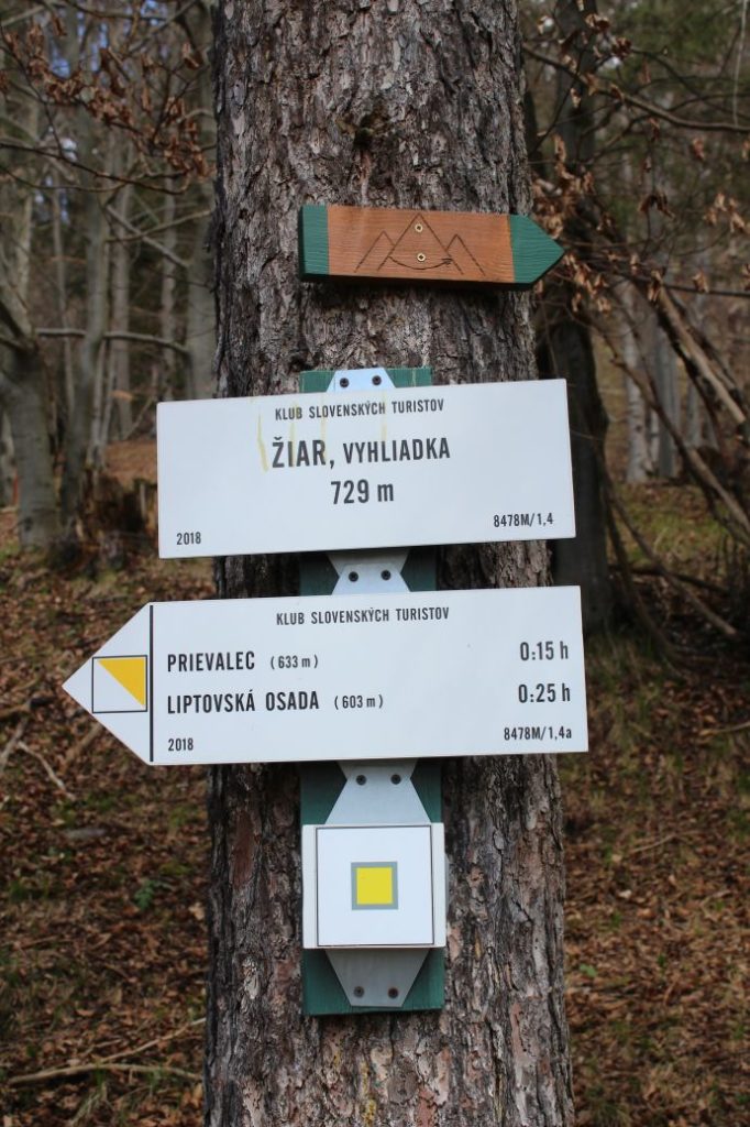
1. Liptovská Osada 603 m
2. Prievalec 633 m
3. Žiar, viewpoint 729 m
Route description:
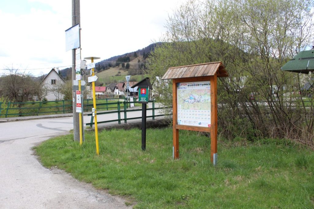
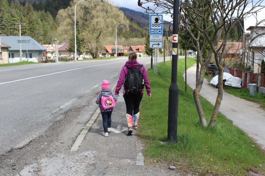
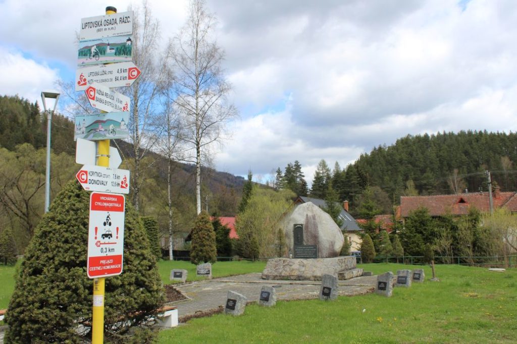
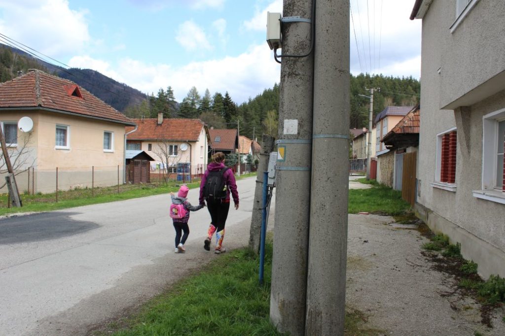
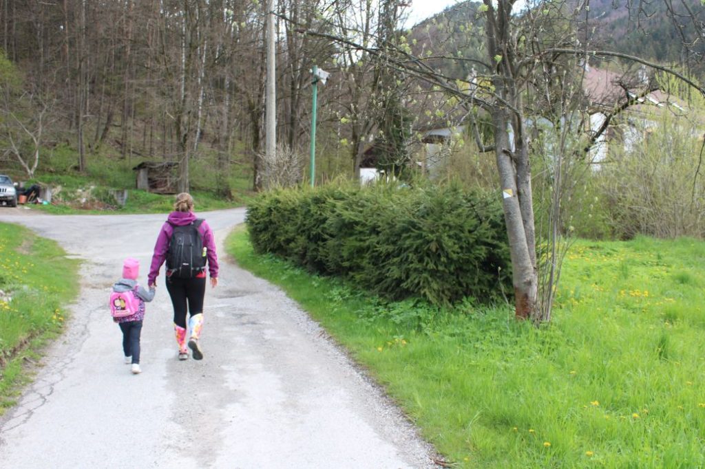
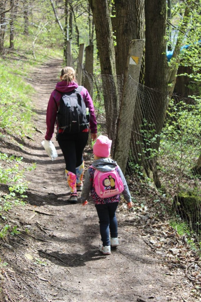
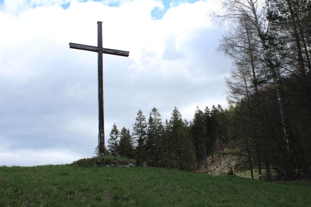
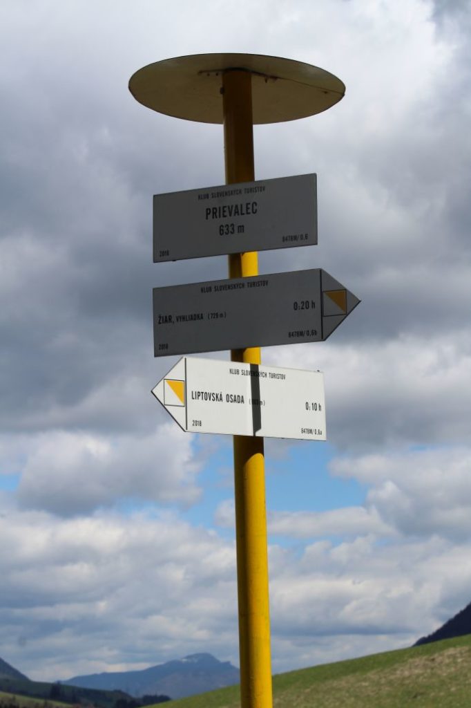
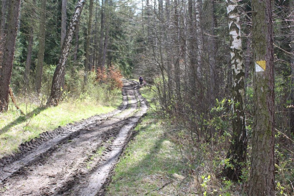
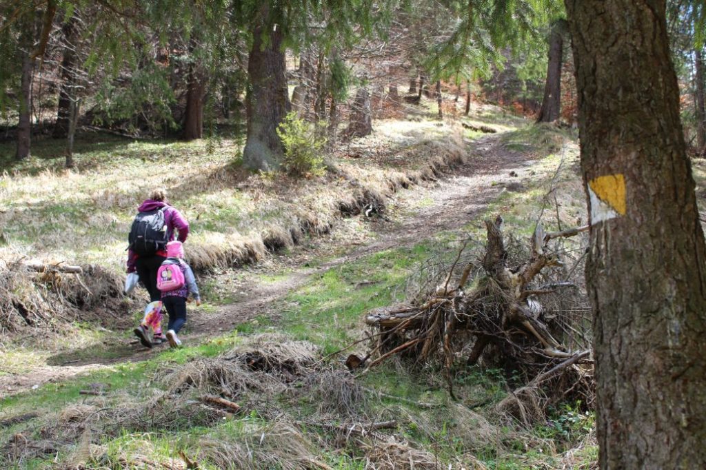
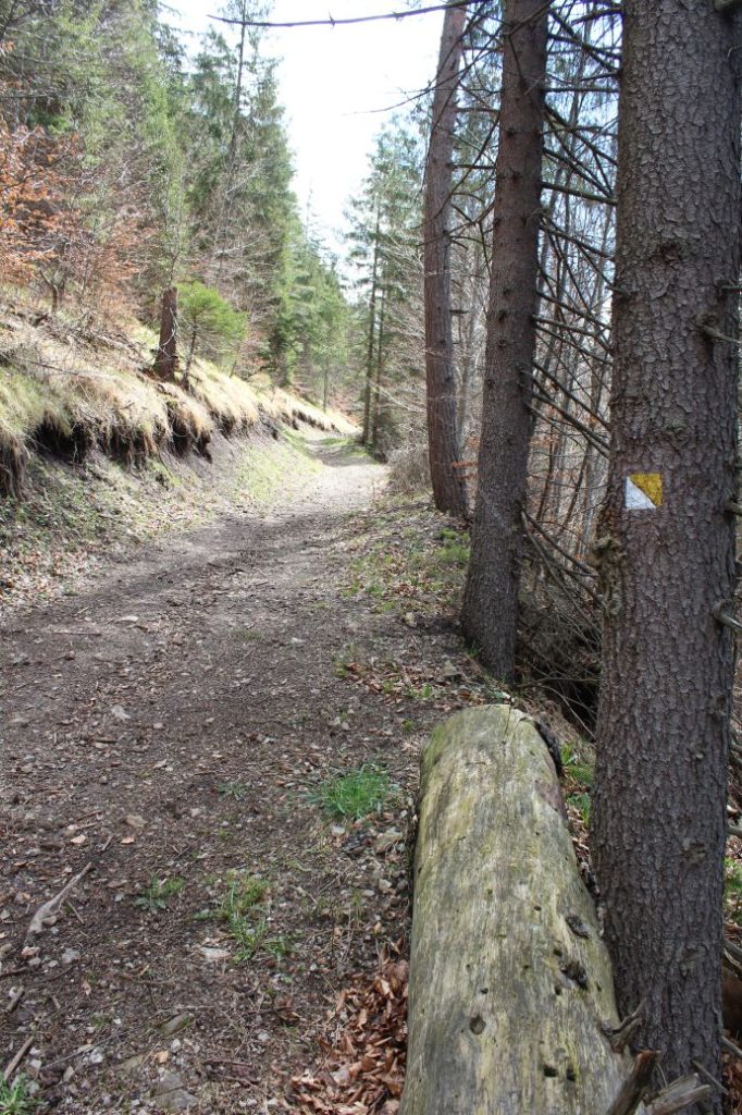
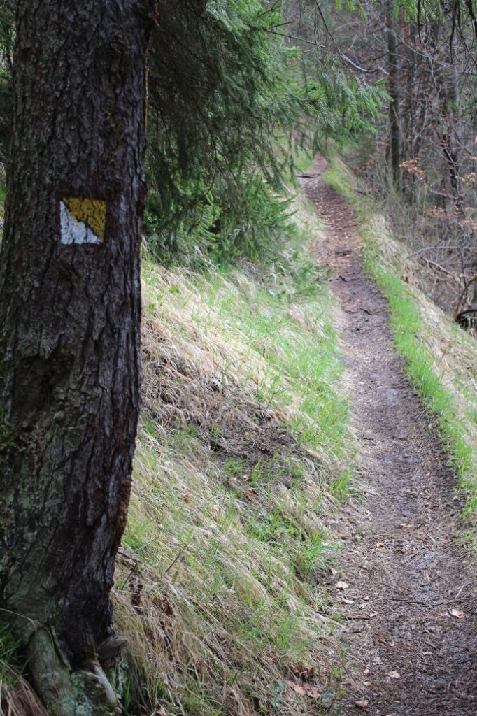
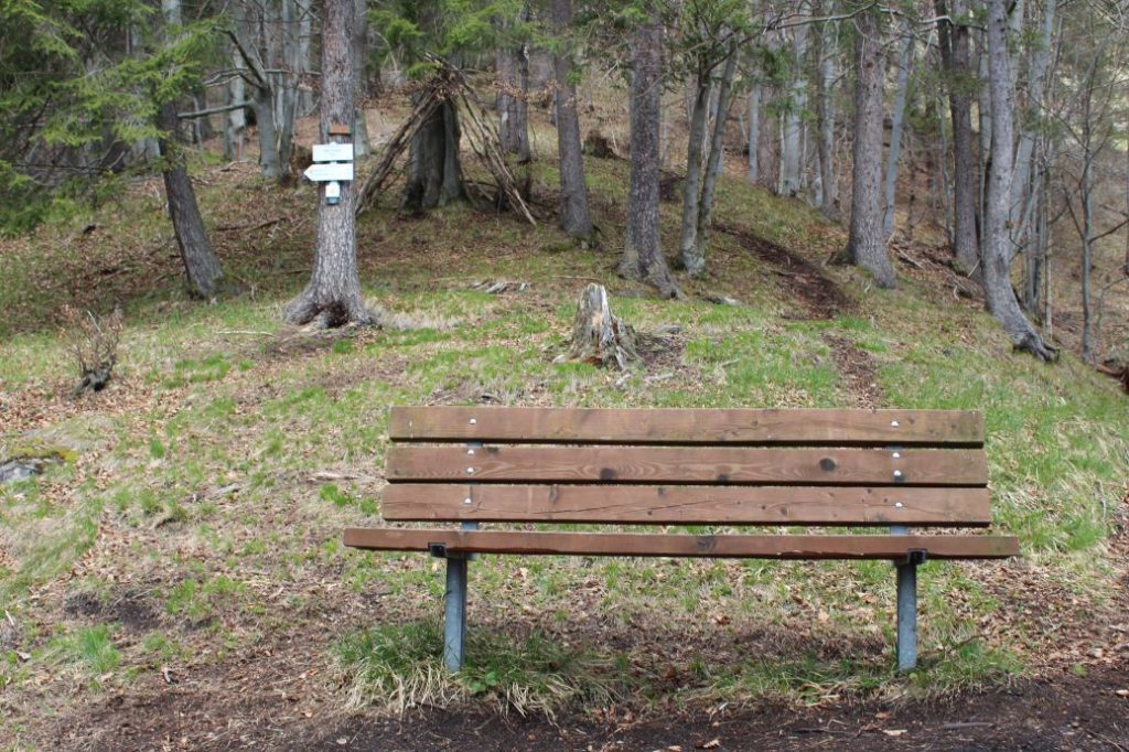
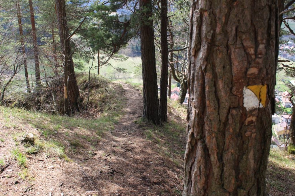
The route begins by the hiking signpost in the centre of Liptovská Osada. It runs through a first-class road with heavy traffic. We use the pedestrian crossing to safely cross the road. The route leads us to the left, to a memorial of the Slovak National Uprising. The route turns to the right from the main road and subsequently it turns to the left, after passing by the memorial. After a few dozen metres, at the beginning of “Poštárska“ Street, the route passes by a family house and enters a small wooded area, from which it continues to a small meadow, rising above which is a wooden cross. By the cross in the area of Prievalec, there are benches and a hiking signpost, which will show us the direction to the viewpoint. From the signpost, we continue through the woods on a sloping road, which runs more and more steeply uphill. After a short while, the ascent becomes less steep and the road continues mildly uphill. After a while, the road ends and we continue on a pleasant path cut into a steep slope, which will lead us to the two viewpoints situated at the rocky cliff of peak Žiar. From the first viewpoint, the route continues a bit further uphill through a serpentine, to the second viewpoint, where we will find the end of our route as well as a bench and a direction sign for hikers. From the viewpoints, which are not secured, we get a view of the village of Liptovská Osada or the mountain ridge of Prašivá in the Low Tatras. The parts of the Great Fatra we can see are Malý Zvolen, Ostredok, Čierny Kameň and Rakytov.
Safety:
The route is safe almost in its entire length. The final section to the viewpoint runs on a good-quality path, with a steep ridge below it. The rocky viewpoints are not secured, therefore you need to enter them extremely carefully. In the event of damp surface, the rocky viewpoints are slippery. The route is suitable for all age categories, but children should not be allowed to the viewpoints without supervision and someone holding them.
Marking on the route:
The marking on the route is sufficient. The route is marked with a local yellow hiking mark. At some places, the marks are poorly visible, especially in the village. Orientation in the wooded area is easy, as the route to the viewpoints is direct, without detours, on a clearly visible path.
Notes:
– Walking the route back (descent) takes approximately 0:25 hour.
– The trail is used all year round.
– At the beginning of the route, there is a grocery store, a refreshment establishment and a parking area.
– There are suburban buses running from Ružomberok to the beginning of the route.
The route was reviewed in May 2021.

