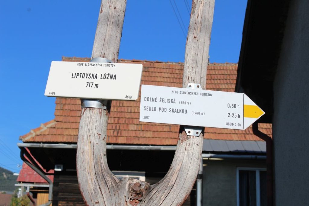
Liptovská Lúžna - notch Sedlo pod Skalkou
The trail running from Liptovská Lúžna to the main ridge of the Low Tatras. The trail is used mainly to ascend to and to descend from Prašivá, a sub-part of the Low Tatras.
Number of the route: 8608
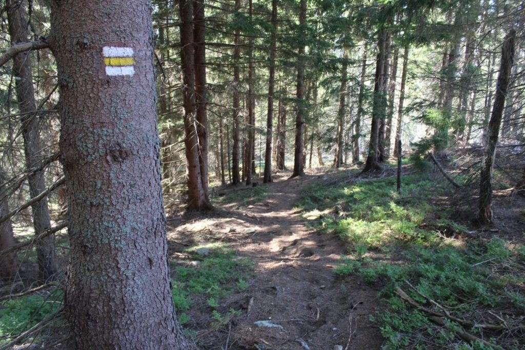
Colour: Yellow
Length of the route: 4 km
Vertical distance: Ascent: approx. 760 m
Time of completion: 2:25 hours
Reference points for orientation:
1. Liptovská Lúžna 717 m
2. Dolné Želiská 950 m
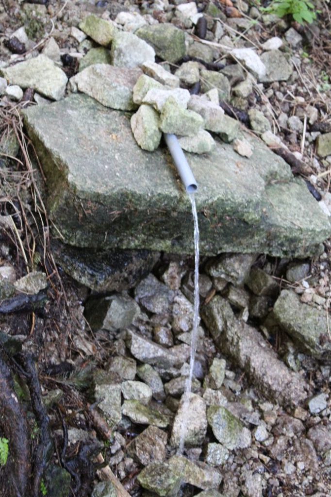
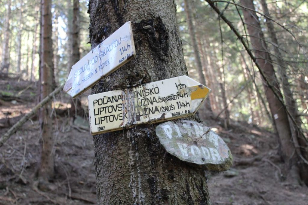
3. Pri Prameni (by the spring) (Old marks ZT ČSZTV from 1987)
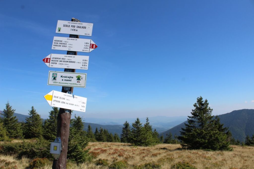
4. Sedlo pod Skalkou (notch) 1476 m
Route description:
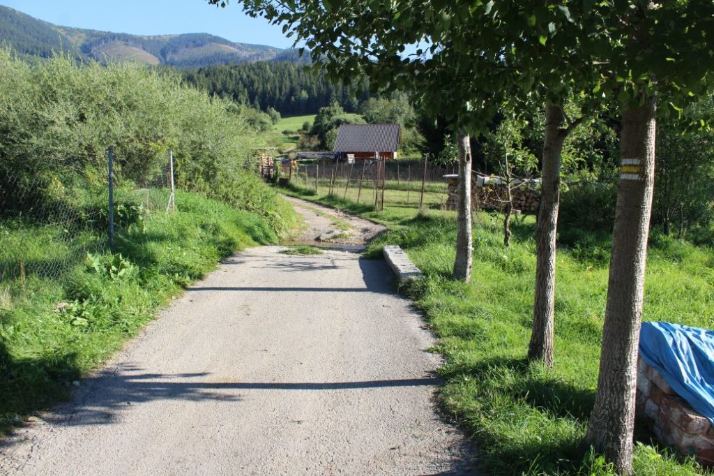
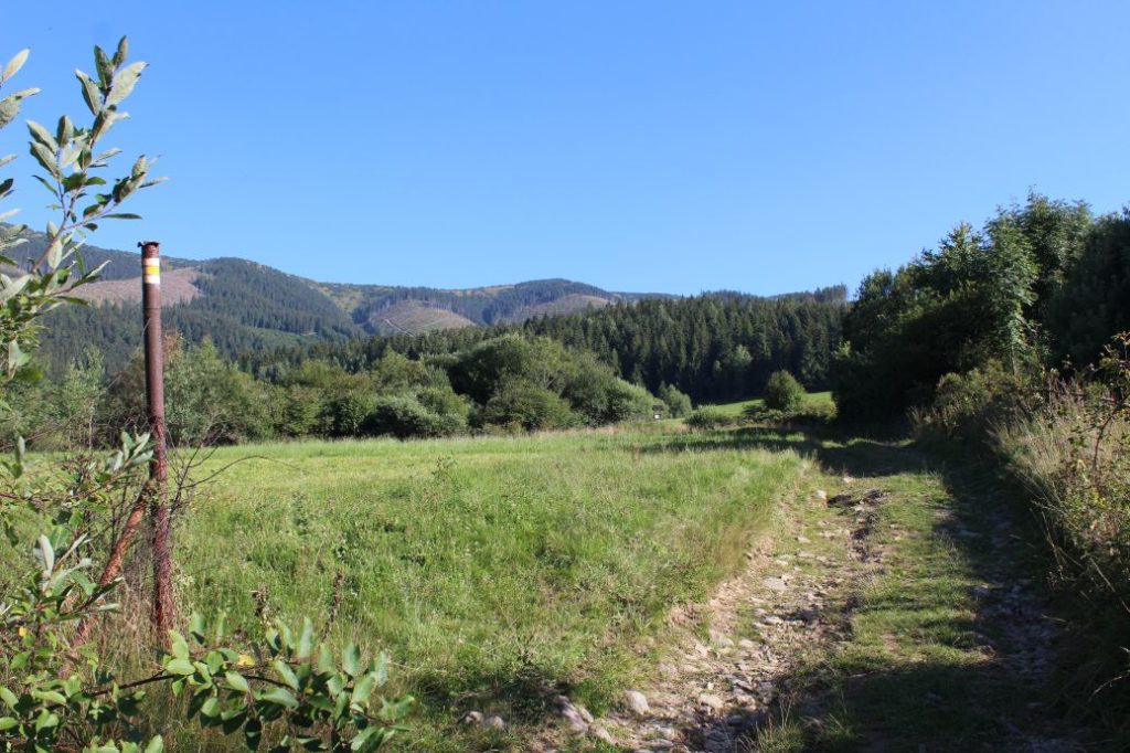
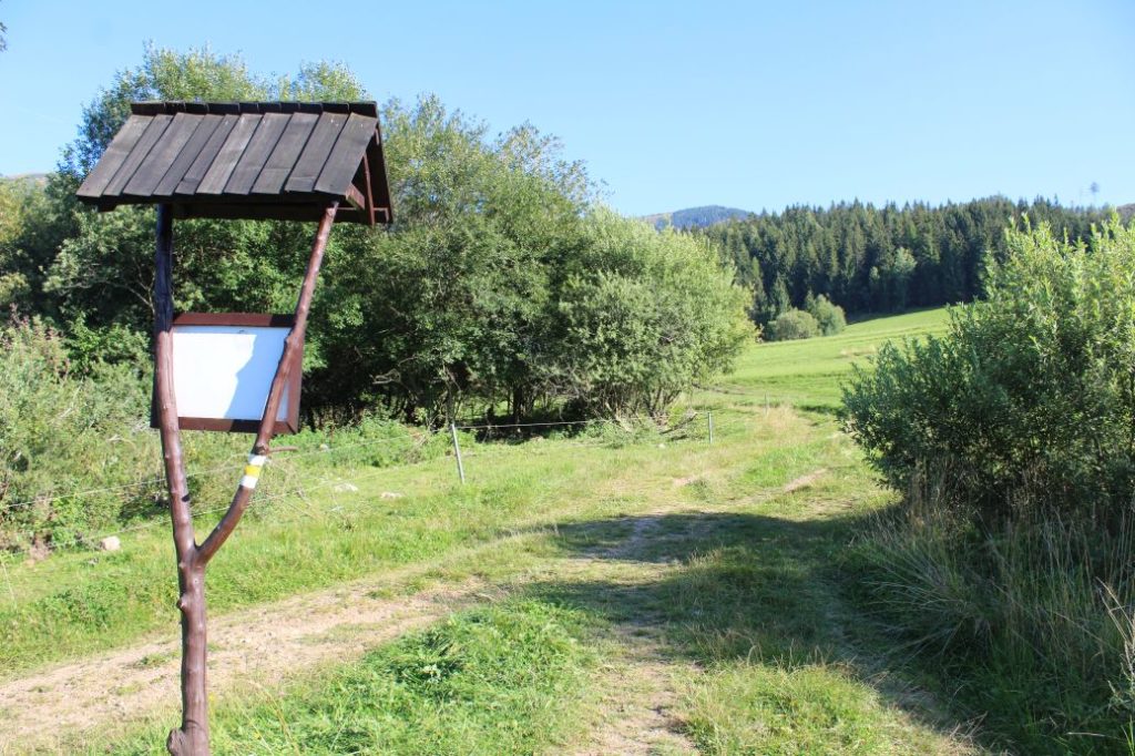
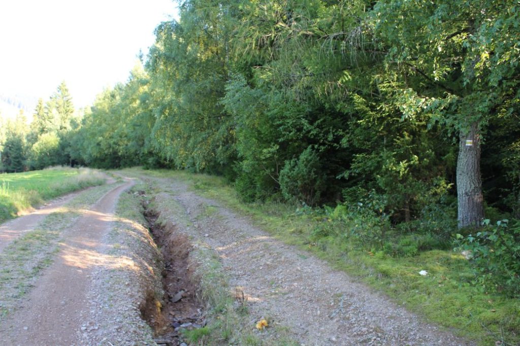
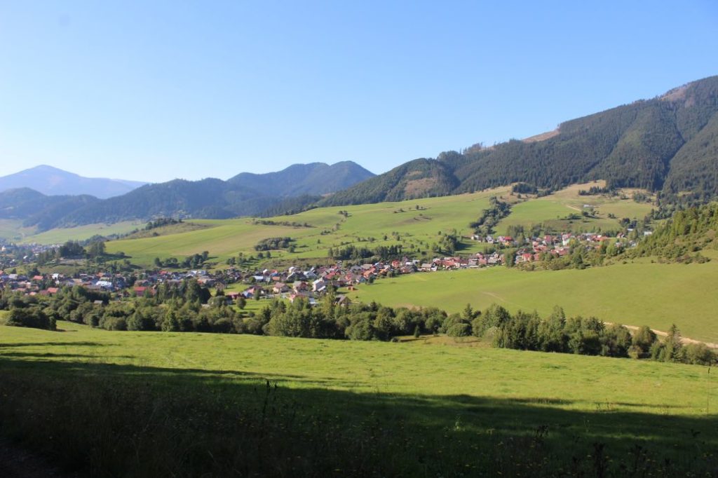
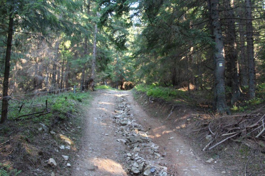
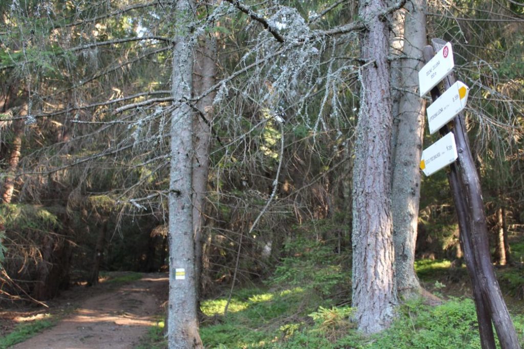
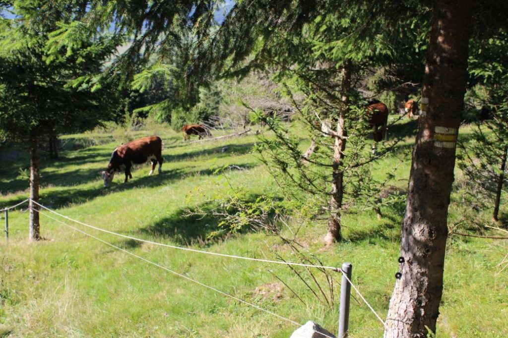
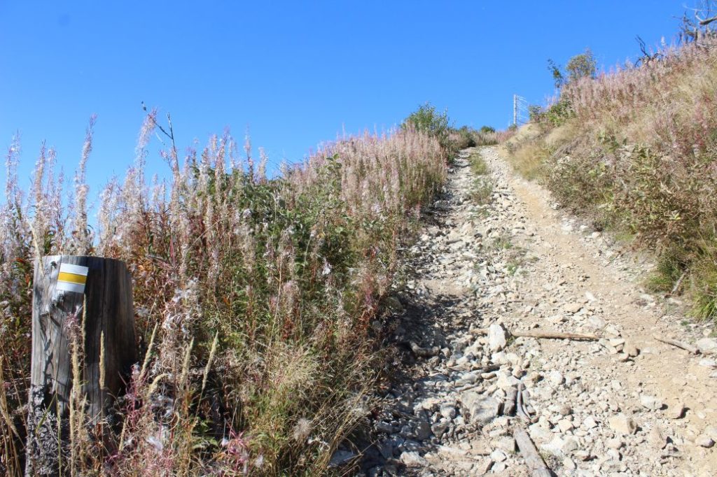
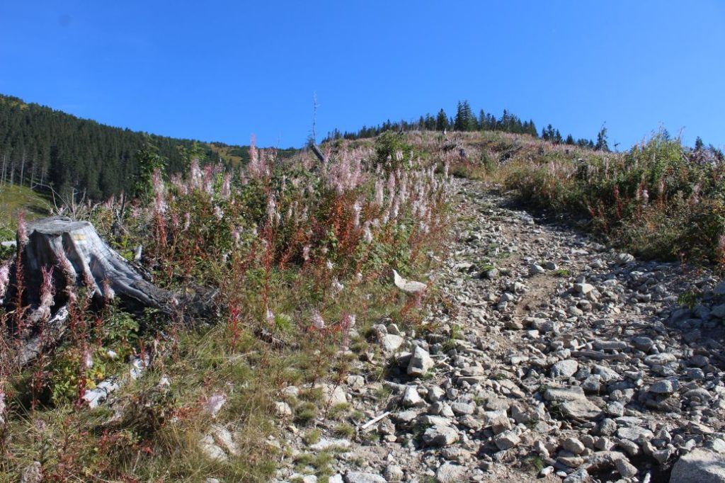
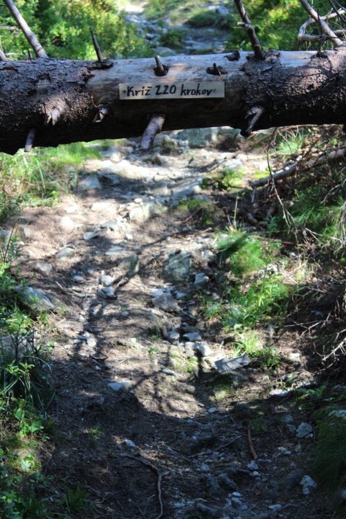
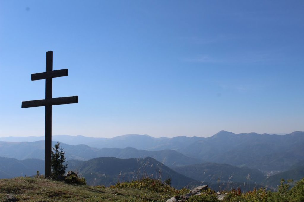
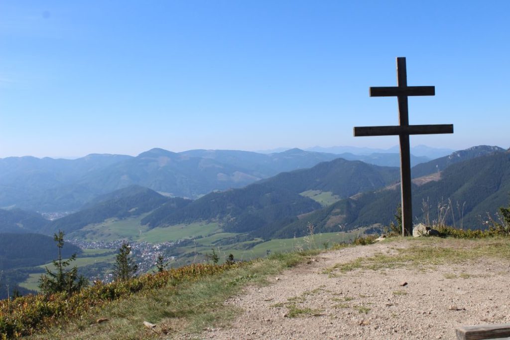
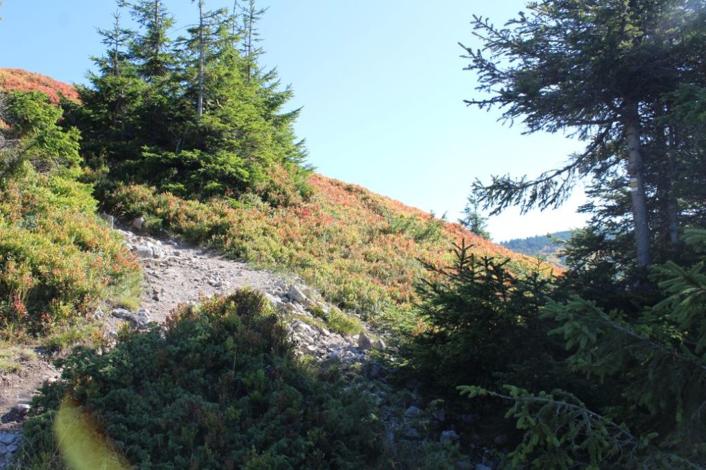
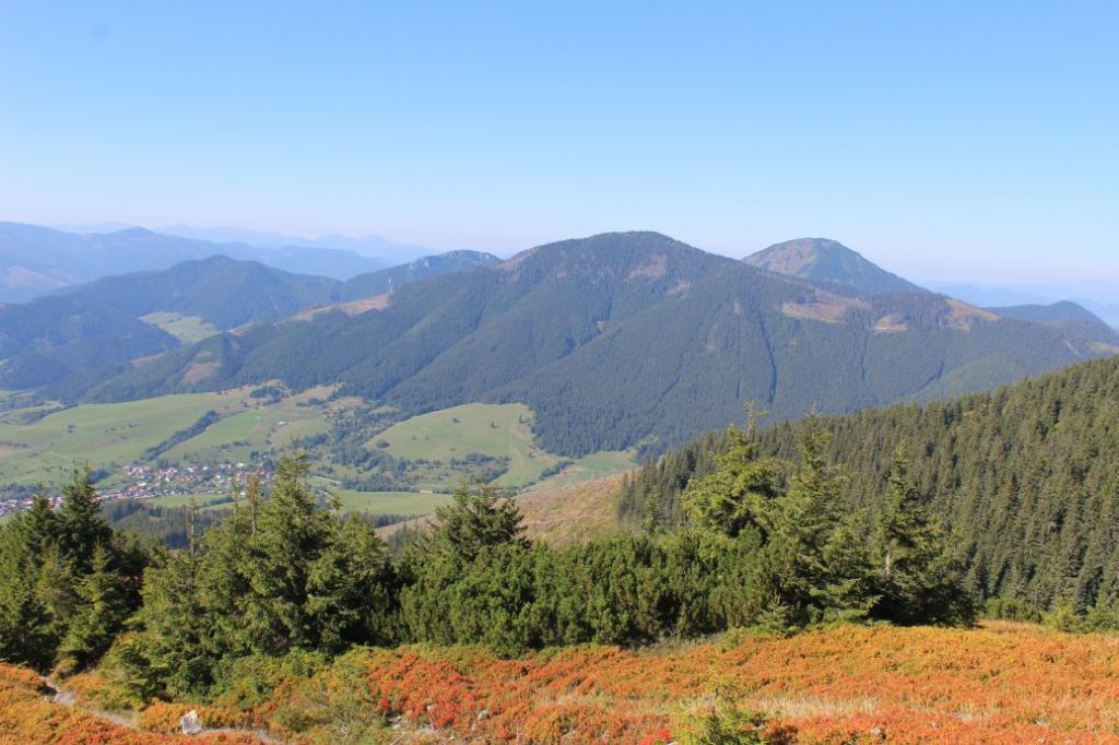
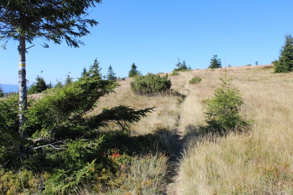
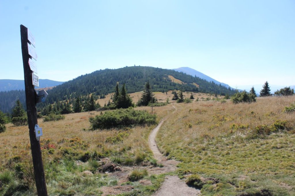
The route begins in the upper part of village Liptovská Lúžna, farther uphill from bus stop “Lipt.Lúžna,,nocovňa SAD“. It runs through a side street in between the family houses, to the periphery of the village, where it crosses a creek and passes by fields, to a meadow. Passing by a line of trees and bushes separating large meadows, it arrives at a wooded area, from where it continues to the left on a sloping road running at the periphery of the woods. When looking back, we get views of the village and the ridge of the Great Fatra in the background. The road enters the woods, and in the area of Dolné Želiská, by a hiking signpost, it continues on a small path to the left of the road. The path continues through the woods to the periphery of a meadow, where it turns left and crosses a creek. It continues to the right, along the periphery of the meadow, to wetlands with muddy terrain. The ascent becomes very steep, and passing by an unaltered spring, the steep uphill path arrives at a springhead, from which the water is collected into a plastic pipe for easier access. At this place, there are old hiking signs located on a tree. The path continues steeply uphill through the woods. In this area, you need to pay attention and follow the marking, as you will need to by-pass some obstacles due to fallen trees. The uphill path arrives at a sloping road, which you only need to cross to the other side and then continue through the woods to another sloping road running nearby. On the sloping road, the route continues uphill to the left. The rocky / debris sloping road continues to the ridge, where you need to turn right and continue directly uphill on a steep road, through a clearing. If you look back on your way up, you will get a view of Liptovská Lúžna and the surrounding hills of the Great Fatra and the Low Tatras. At some places, you will see turns from the road, but you need to stay on the ridge and continue straight uphill. The marks through the clearing are poorly visible, as there is nothing to put them on and most of them are covered with grass. You just need to follow the well-trodden path. At the upper part of the clearing, the trail turns slightly to the right and enters a small channel, where the marking is sufficient again. Surrounded with fallen trees, the channel runs uphill all the way to a place with a viewpoint and a makeshift sitting area with a double cross. The viewpoint offers a view of Liptovská Lúžna and the surrounding hills, as well as the Small Fatra Mountain in the distance. The uphill rocky path arrives at blueberry meadows and the ascent becomes milder. The meadow terrain with a few trees offers new views when looking back, this time of the Choč Mountains. In the final meadow section, the trail arrives at the main ridge of the Low Tatras, at notch Sedlo pod Skalkou. In the notch, with new views of the Upper Hron River Region, the route of the yellow-marked trail ends.
Safety:
The route passes through steep woodland sections, muddy terrain and steep clearings with rocky / debris surface, which is dangerous especially on the way down. In damp weather, the route is very slippery. Walking the route in winter is extremely difficult and the route is usually untrodden. The route is not suitable for children under the age of 10 and visitors with reduced mobility. We recommend using sturdy footwear and hiking poles.
Marking on the route:
Marking on the route is sufficient. Only in the short section from the built-up area of the village to the woods, the marking is insufficient, especially on the way down. There are also places where you need to pay extra attention, as the yellow colour of the marks may be poorly visible and covered with grass. Orientation is difficult in winter, as the marks, which are often located near the ground, are covered with snow.
Notes:
– The trail is accessible all year round.
– Passing of the route in the opposite direction takes approximately 1:45 hours.
– The route is situated in the Low Tatras National Park.
– There are suburban buses running from Ružomberok to the beginning of the route.
– Situated near the beginning of the route is a grocery store, a refreshment establishment and an accommodation facility.
– Passing by the beginning of the route is a red-marked bike trail called “Vrchárska Cyklomagistrála”.
The route was reviewed in September 2021.

