To Brankovský Icefall
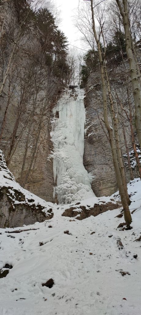
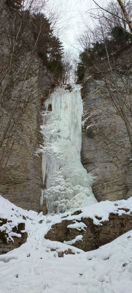
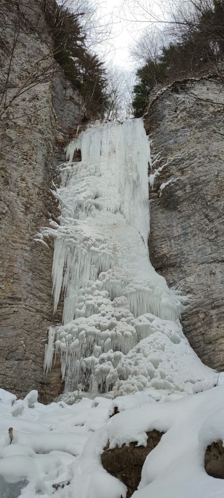
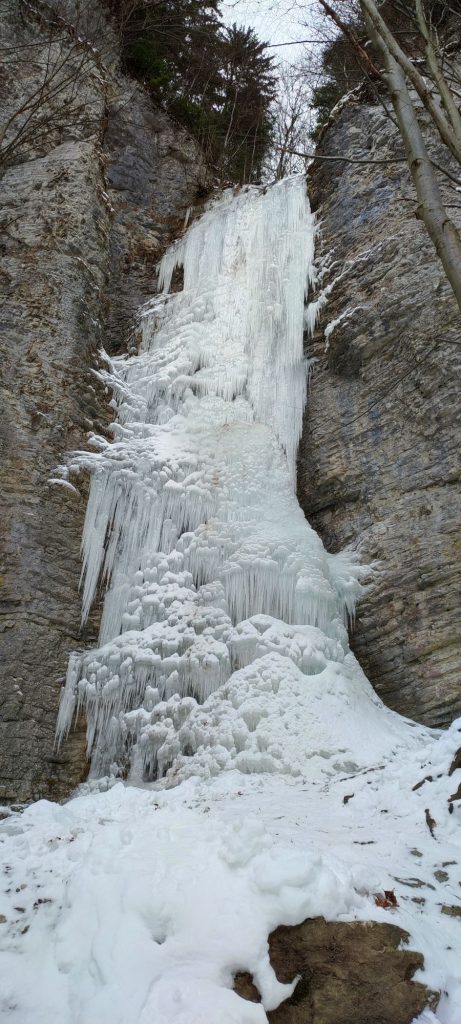
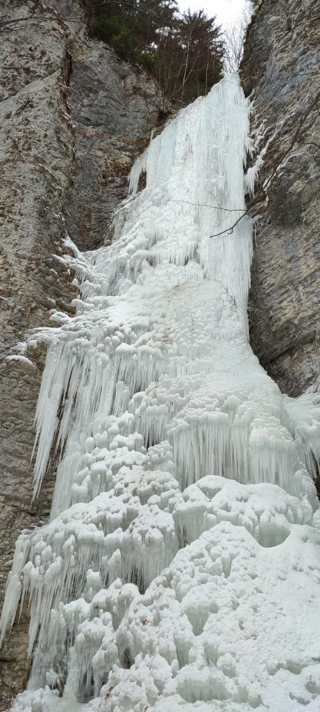
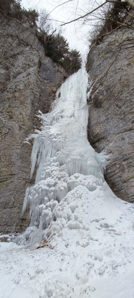
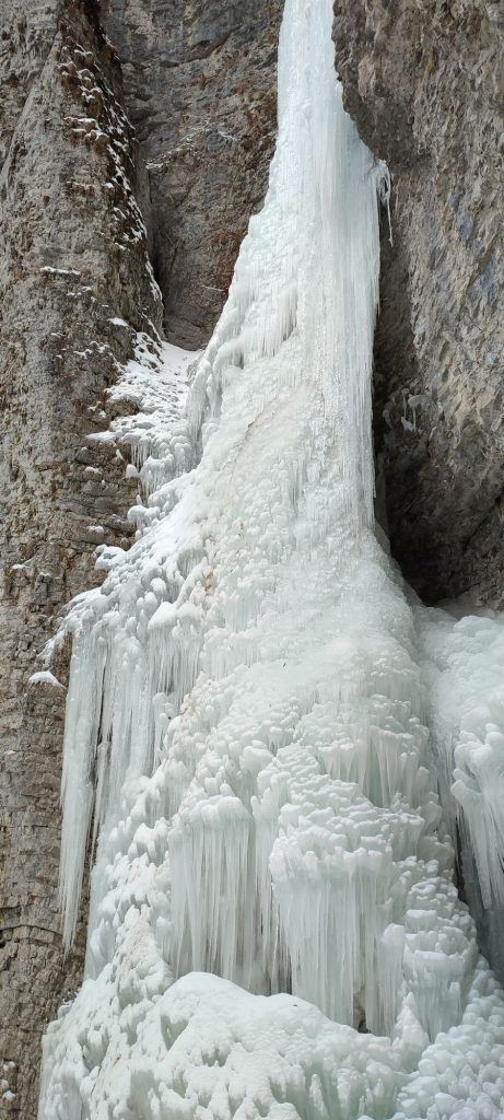
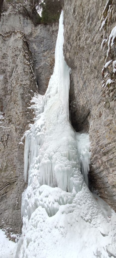
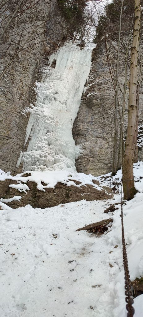
The Brankovský waterfall, “icefall”, belongs among the favourite locations for a winter hike. In winter, the waterfall is usually frozen and creates a beautiful tall icefall, which, in good conditions, is used for climbing by mountaineers.
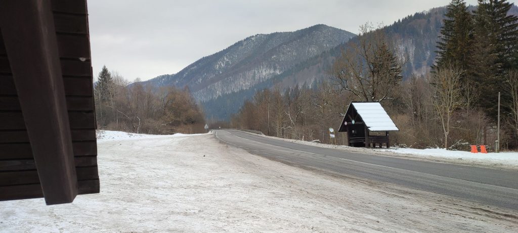
Start and destination: Podsuchá (part of Ružomberok) (bus stop ”Biely Potok/Ružomberok,Podsuchá“)
Route: 4 km (in total, there and back)
Estimated time: 2 hours (in total, to the icefall and back)
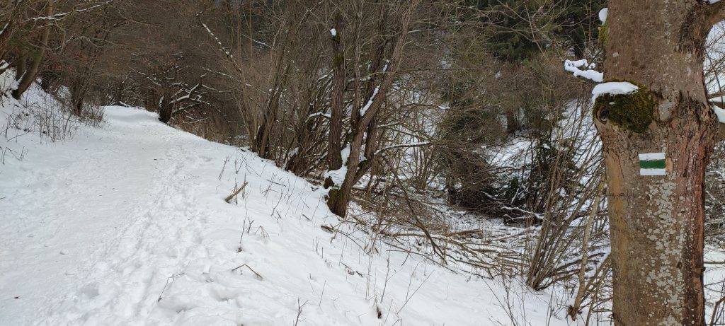
Marking: green hiking trail, no marking in the final section, back along the same route
Vertical distance: 230 m
Difficulty level: Non-demanding route. Depending on the weather and snow conditions, it can be moderately demanding. A route running mildly uphill, with moderately difficult access path to the icefall, which is usually smoothed out, but it is secured with chains.
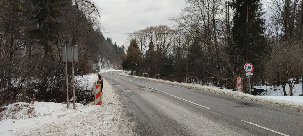
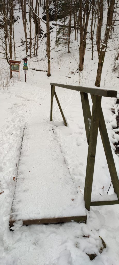
Safety: At the beginning of the route, you need to cross a road bridge on a first-class road with heavy traffic, and there is no side walk for pedestrians at the bridge. Even the narrow road shoulder at the bridge is sometimes covered with shovelled snow from the road. On the entire route, you need to pay attention to avoid slipping. As the route is frequented, the trail is usually smoothed out. To facilitate crossing of the creeks, there are bridges, which are often icy and slippery. In the final section of the ascent from the information panel, the terrain is steeper and therefore also more slippery, especially on the way down. The final section is secured with a chain. We do not recommend walking up to the icefall, as there are often pieces of ice falling down. We recommend using hiking poles on the route, and possibly also crampons (climbing irons or shoe chains).
Transport:
By car: Parking at toll free parking areas next to the main road, by the bus stop. (They are not always cleared from snow.)
By bus: From the bus station to bus stop “Biely Potok/Ružomberok,Podsuchá“
Route:
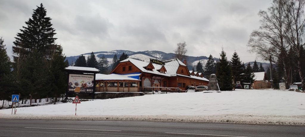
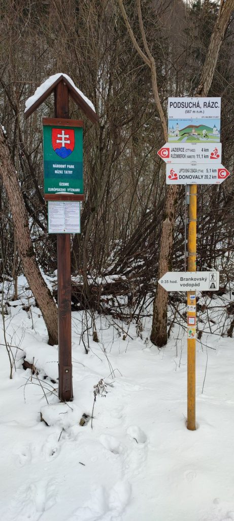
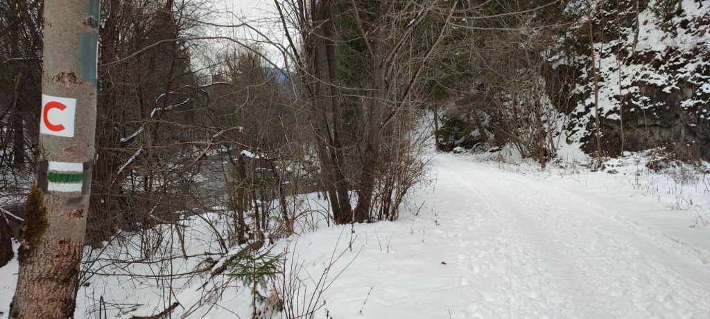
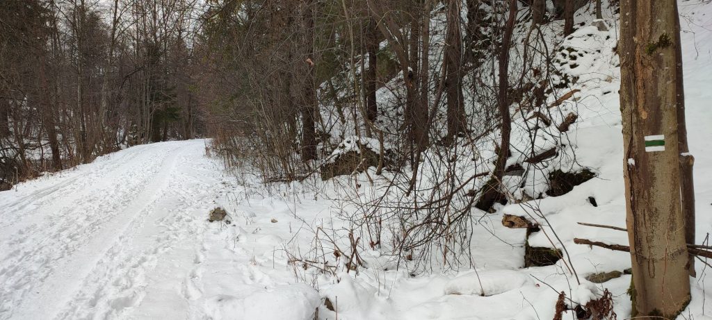
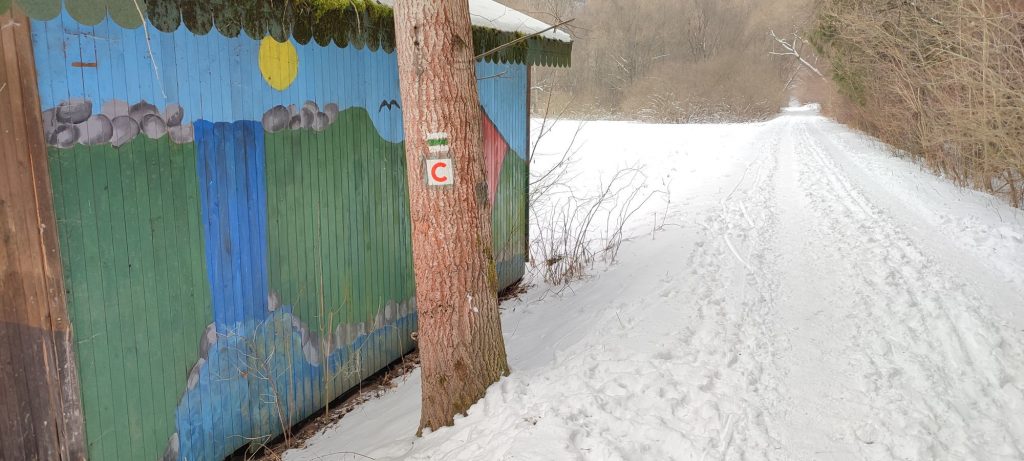
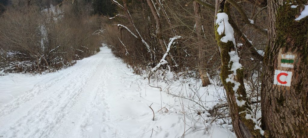
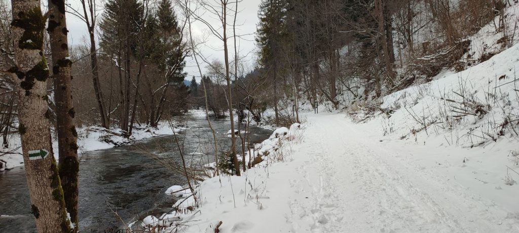
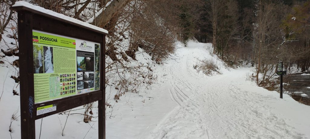
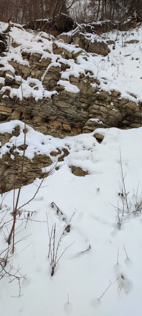
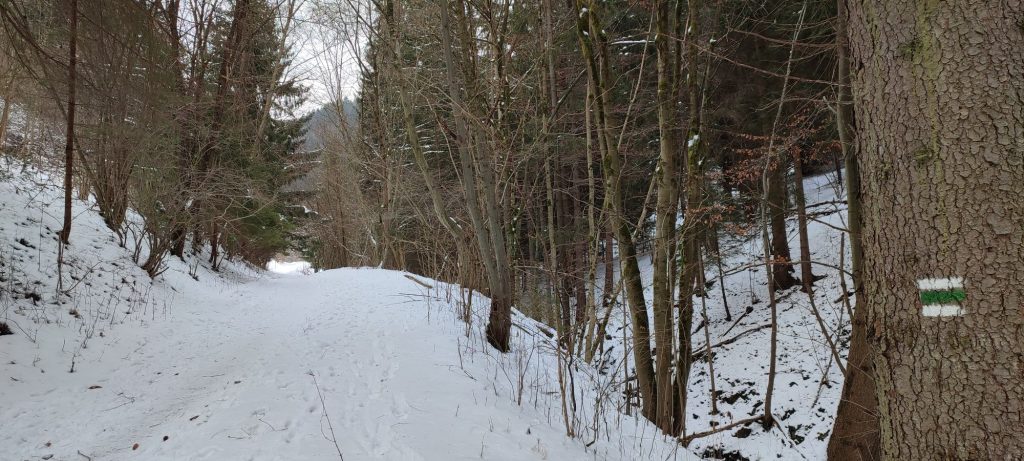
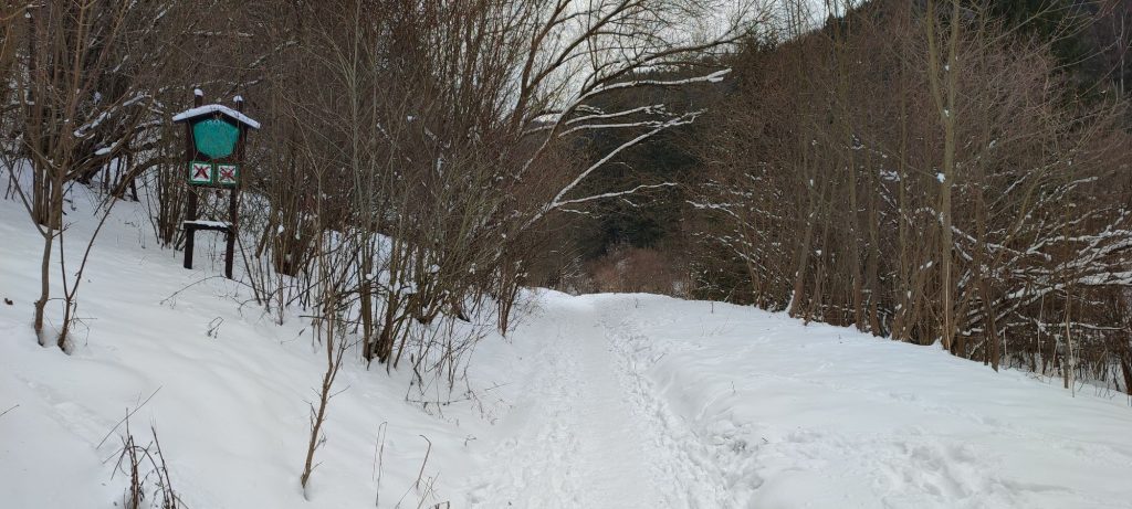
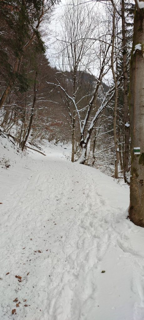
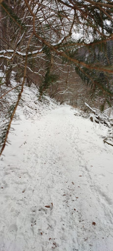
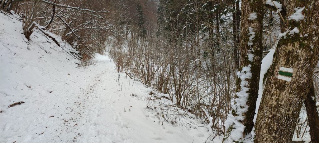
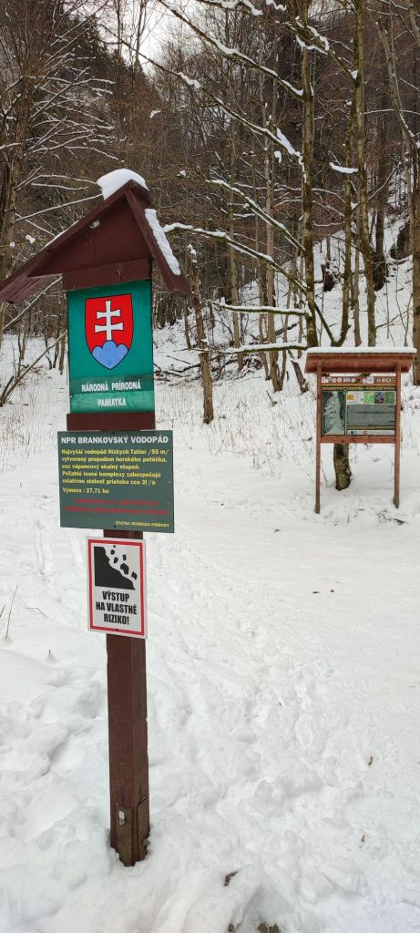
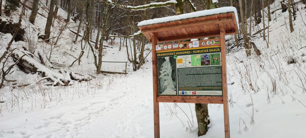
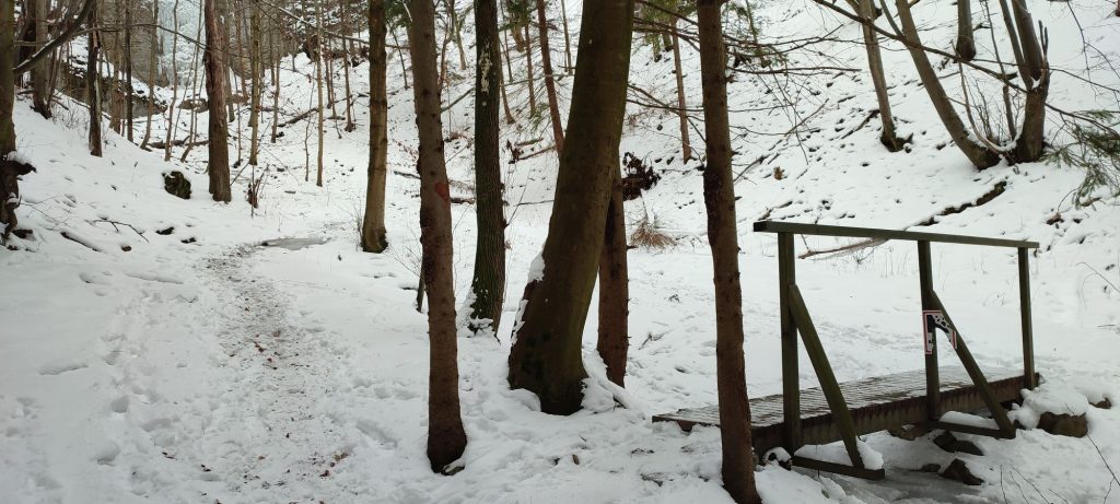
The route begins in Ružomberok’s village Podsuchá, to which we can get comfortably by bus or with our own car. From the bus stop / parking lot, we go to the local restaurant (shepherd’s hut), where the marking for hikers begins. We walk along the green-marked trail, back towards the main road. We use the pedestrian crossing to cross the street. Then we cross the road bridge over the Revúca river. Pay increased attention here, as there is no side walk for pedestrians on the bridge and you have to walk on the side of the road. After crossing the bridge, we continue to the left, on a road which includes icy and slippery sections. You might also meet cross-country skiers passing through on the road. We continue on the road by the Revúca river, in which we might notice various ice formations on the rocks, created by the flowing water at temperatures below zero. We pass by a camping site with a wooden building, on which we may notice a painting of the Brankovský Waterfall, which has remained here after a scout camp. By the second valley turning to the right, the marking tells us to turn to the valley, however, we will continue for a few dozen metres further in order to avoid a steep and slippery climb up the creek bank. The detour will lead us to an information panel called “Podsuchá”, at which we will continue on a sloping road to the right. The forest road runs back towards the valley, and you need to be careful right at the beginning, because it passes under a landslide area, where a rock may fall down occasionally. Running mildly uphill, the road leads us to the border of the Low Tatras National Park, of which we are informed by the panel we pass by on the way. The forest road slowly changes to a trail, which leads us to bridges, at which you need to pay attention to avoid slipping. After passing the bridges, we get off the green-marked trail and we continue up the valley, past an information panel about the Brankovský Waterfall. In the valley, there are many fallen rocks covered by snow, so you need to pay increased attention to your steps. After a few minutes of somewhat steeper terrain, we arrive at a bridge, from which we can admire the icefall. The trail becomes more rugged, with more rocks, but fortunately, this section is only a few dozen metres long. We recommend the visitors to only continue up to the chains, from where it is possible to take pictures of the icefall and to see it in its full beauty. If you are still tempted, you may use the chain to get up close to the waterfall, but we do not recommend it for safety reasons. We return along the same route, but we pay increased attention, as the downhill terrain is a bit more slippery.
Notes:
– There is a restaurant at the beginning of the route.
– The icefall is frequently visited, which means the trail is clear for passing almost at all times.
– The route is suitable for visitors of all age categories, but you should hold your younger kids by the hand, especially in the section of the last 300 metres of the route.
– The surrounding area of the icefall is a National Natural Monument.
– The territory in the surroundings of the icefall belongs among the protected territories of European significance.
– The route is situated in the Low Tatra Mountains.
– In good conditions, the icefall is used for climbing by mountaineers.
– For the collectors, there is a wooden tourist stamp, a sticker for a tourist diary or a magnet of the Brankovský Waterfall, which are available at the Ružomberok Information Centre at “Antona Bernoláka” Street no. 1 in Ružomberok.

