To Žiar Viewpoint
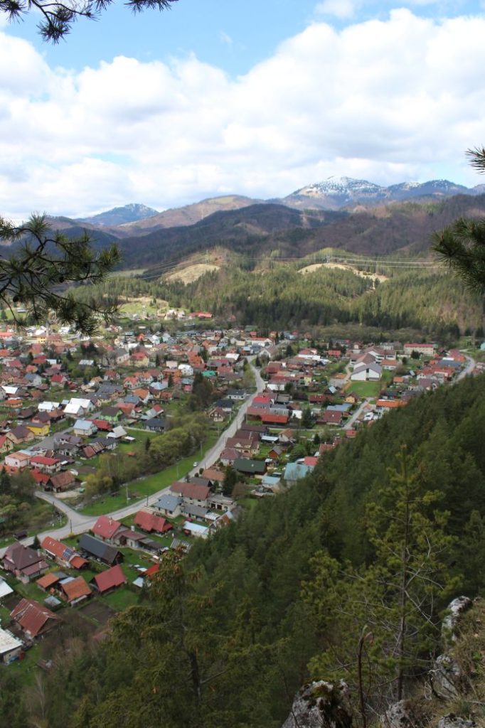
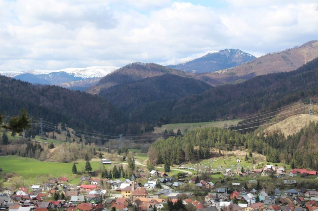
This viewpoint in a rocky town below Žiar hill is one of the so-far undiscovered locations and the view from this place will bring joy to every visitor.
Start and destination: Liptovská Osada (bus stop ”Lipt.Osada,,Jednota“)
Route: 3.2 km (in total, there and back)
Estimated time: 1.5 hours (in total, to the viewpoints and back)
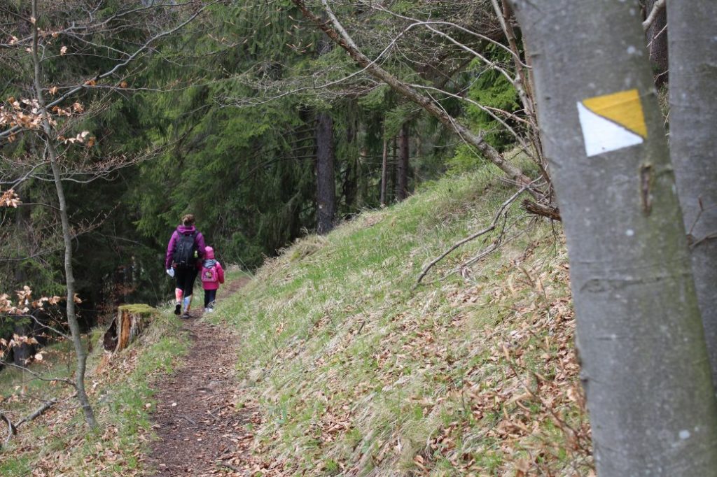
Marking: Local yellow hiking mark.
Vertical distance: 140 m
Difficulty level: A non-demanding route, mildly rising for the most part, with moderately demanding terrain at the viewpoints.
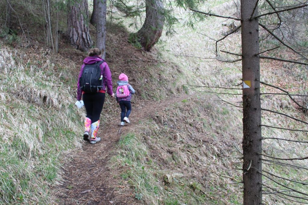
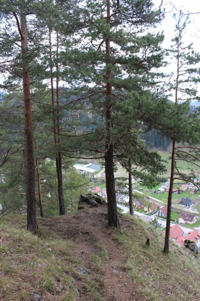
Safety: At the beginning, you need to cross a first-class road, using the pedestrian crossing. The section through the town runs mostly on low-frequented communications or pathways for pedestrians. The path through the woods up to notch Prievalec is muddy and slippery during damp weather, sometimes there are cyclists using the makeshift downhill tracks built in this area. From notch Prievalec, the sloping road is a bit steeper in a short section, you need to pay attention to avoid slipping, especially on your way down. The path that is cut into the steep slope is a bit narrow, and when the terrain is damp, you should be careful as there is a risk of slipping. The most dangerous part of the route are the viewpoints themselves, which are not protected with handrails and there are no safety chains either. Do not enter the viewpoints in damp weather, as the rocks which make up the natural viewpoints are slippery and there is a risk of falling. Children should not be allowed to the viewpoints without strict supervision and without securing / holding them.
Transport:
By car: Parking at toll free parking areas near the main road, by the bus stop or by the SNU memorial.
By bus: From the bus station to bus stop “Lipt.Osada,,Jednota“ or bus stop ”Lipt.Osada,,pekáreň“
Route:
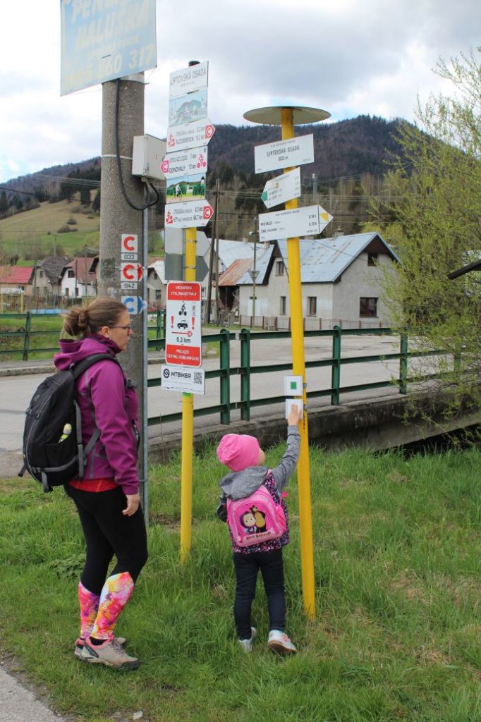
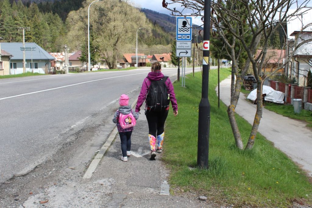
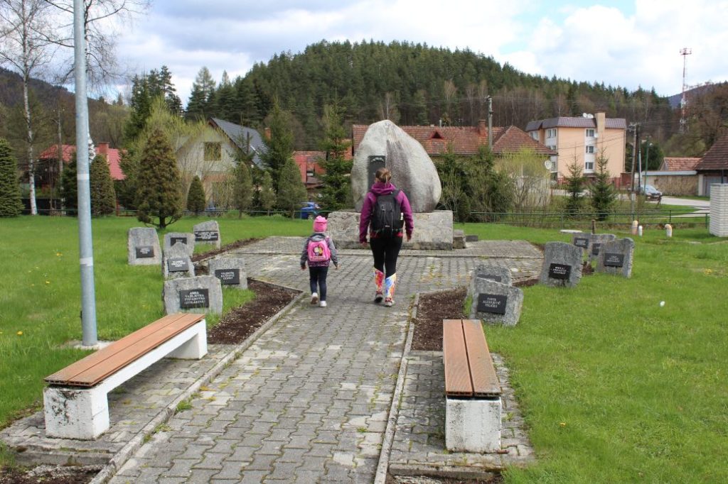
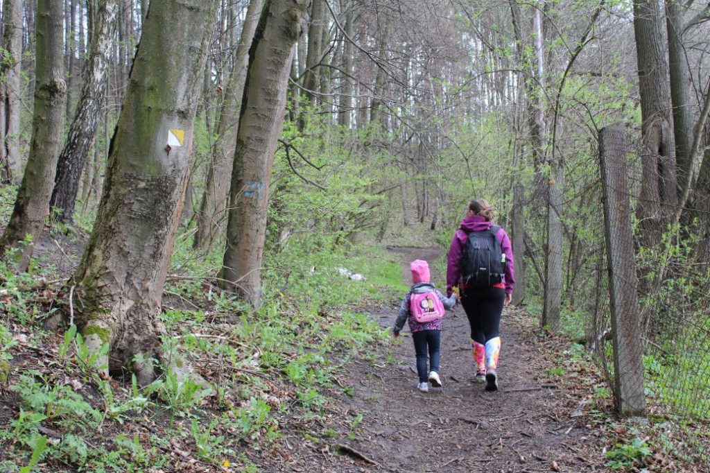
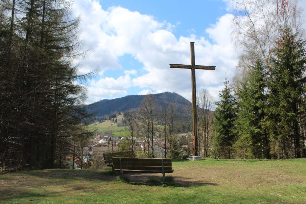
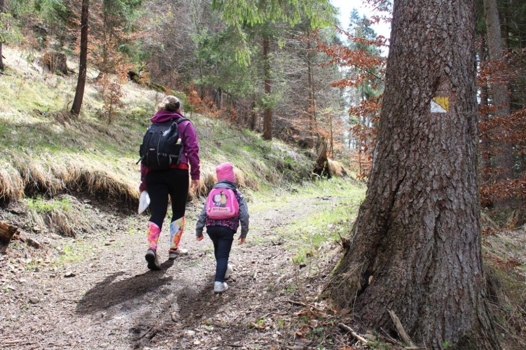
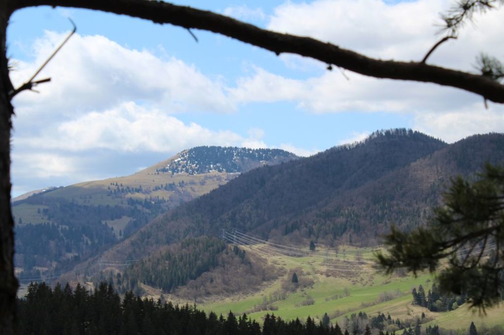
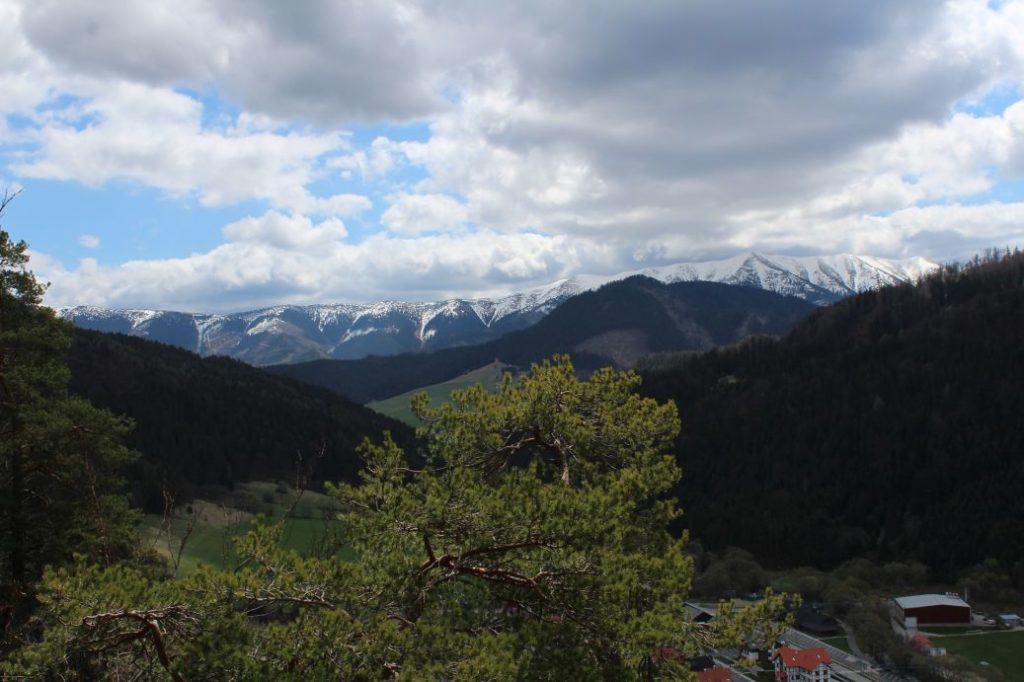
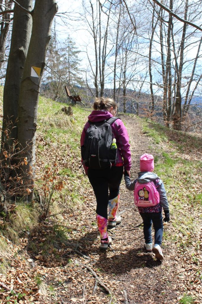
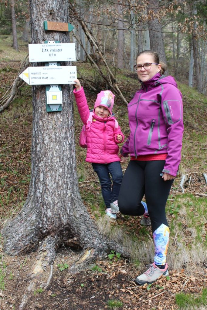
The route begins in the village of Liptovská Osada, at the bridge over the river (turn from the main road in the direction to Liptovské Revúce). You can comfortably get to the beginning of the route by bus or with your own car. From the bus stop / parking lot, we need to go to the turn to the village of Liptovské Revúce, at which the hiking marks begin. We will be guided by the yellow painted marks of the local hiking trail, which consist of a square divided into a white and a yellow triangle. We cross the main road using the pedestrian crossing and then we continue along the side walk by the road, in the direction back to Ružomberok. At the intersection, we turn right to the wooden shelters of the bus stops “Lipt.Osada,,pekáreň“. There is a memorial here, at the place of remembrance where partisans jumped down, participating in the preparations for the Slovak National Uprising. After passing by the memorial, we turn left and we cross the bridge over the river. A few metres further, there is an intersection, where we choose the middle path, slightly to the right. The route then leads us through a small wooded area, passing by the fence of a family house. The path is muddy and you also need to pay attention to cyclists, as there are tracks for downhill bicycles created here by biking enthusiasts. Passing by the transmitter, we enter a meadow, above which there is a wooden cross with a sitting area. We can sit down by the cross and enjoy the view of the meadows and partially of the village of Liptovská Osada. Rising in the background to the north above the meadows are the hills of Sidorovo and Great Choč. After we have rested a little, we continue to the right, along a wood path, which first leads us slightly uphill, but later the rise becomes steeper. Do not be afraid of the steep rise though, it is only a short section and then it becomes milder again. After a short while, the sloping road turns into a comfortable path. The path is cut into the steep slope and with a mild rise it leads us to the first viewpoint, which is situated a few metres below the trail. The second viewpoint is situated a little bit further. Above the second viewpoint, the route ends and there is a bench you can sit down on. Both viewpoints are situated a few meters below the trail and they are not man-altered in any way. You need to be extremely careful here, especially in damp weather. The viewpoint offers views of the village of Liptovská Osada and the hills in the surrounding area. In the background, we can notice the mountain ridge of Prašivá situated in the Low Tatras. Of the Great Fatra, we can see Malý Zvolen, Ostredok, Čierny Kameň or Rakytov. After resting and enjoying the views, we return along the same route.
Notes:
– At the beginning of the route, there is a grocery store and a refreshment establishment.
– The route is suitable for visitors of all age categories, however, younger kids should be held and protected from falling, particularly in the section near the viewpoint.
– Until 2004, the territory of the rocky town below Žiar hill was protected as a natural monument.
– In Liptovská Osada, there is an all-year-round pool complex and a restaurant, as well as many accommodation facilities.

