To Malinné
A medium-difficulty route to a viewpoint terrace / platform by the top station of the chair lift at Malinné.
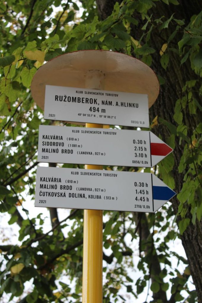
Start and destination: The centre of Ružomberok by the Municipal Office building (Andrej Hlinka Square)
Route: 14.5 km (in total, there and back)
Estimated time: 4:45 hours
Marking: Blue hiking mark
Vertical distance: 720 m
Difficulty level: The route includes steep downhill and uphill sections, and there are some sections where the terrain is rocky, muddy, with many protruding roots. The most difficult part is the ascent and descent along the side of the steep ski run.
Safety: The route belongs among the safe ones. In damp weather, the path in the woods above the Calvary gets slippery. The path on the side of the ski run is very steep and slippery, even in dry weather. In the woods above the Calvary, there is traffic of cyclists, but only in the uphill direction. On the road to the ski resort, there is traffic of downhill cars, scooters, bicycles and also motor vehicles. The route is suitable for kids over the age of 5, but in some sections, parents/accompanying persons need to supervise / hold the kids. In the section along the side of the ski run, the route is not suitable for persons with reduced mobility. We recommend using hiking poles and sturdy footwear.
Transport:
By car: Parking at toll free parking lots at Andrej Hlinka Square.
Route:
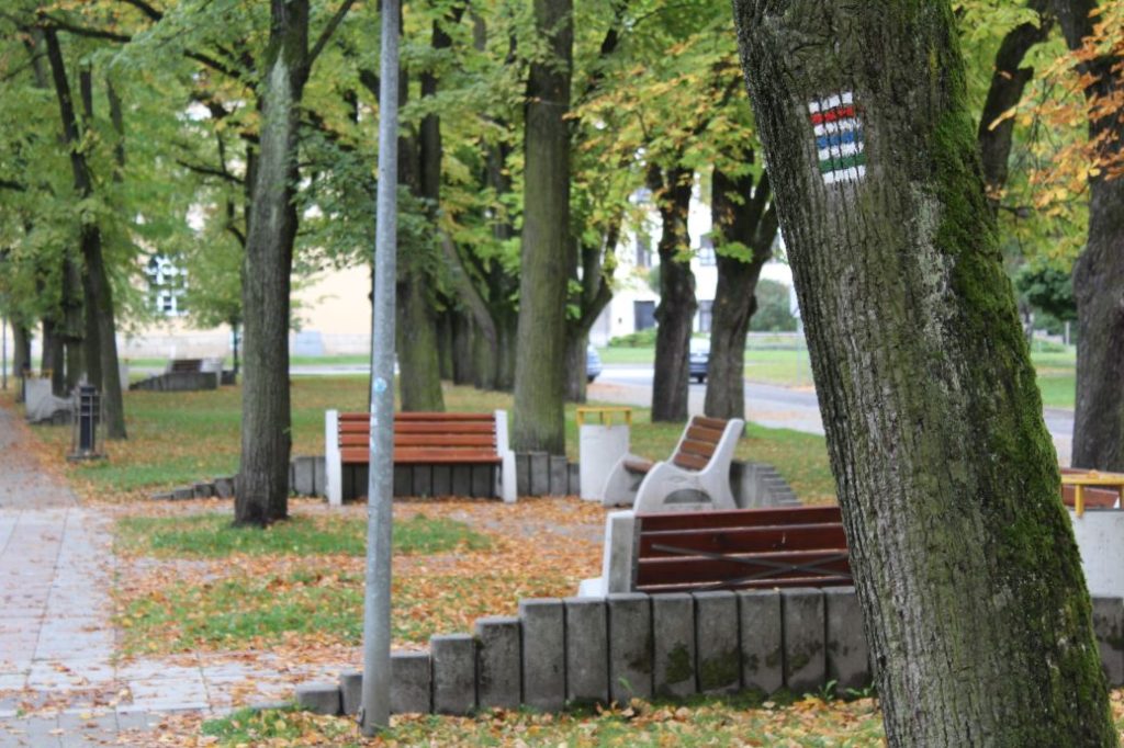
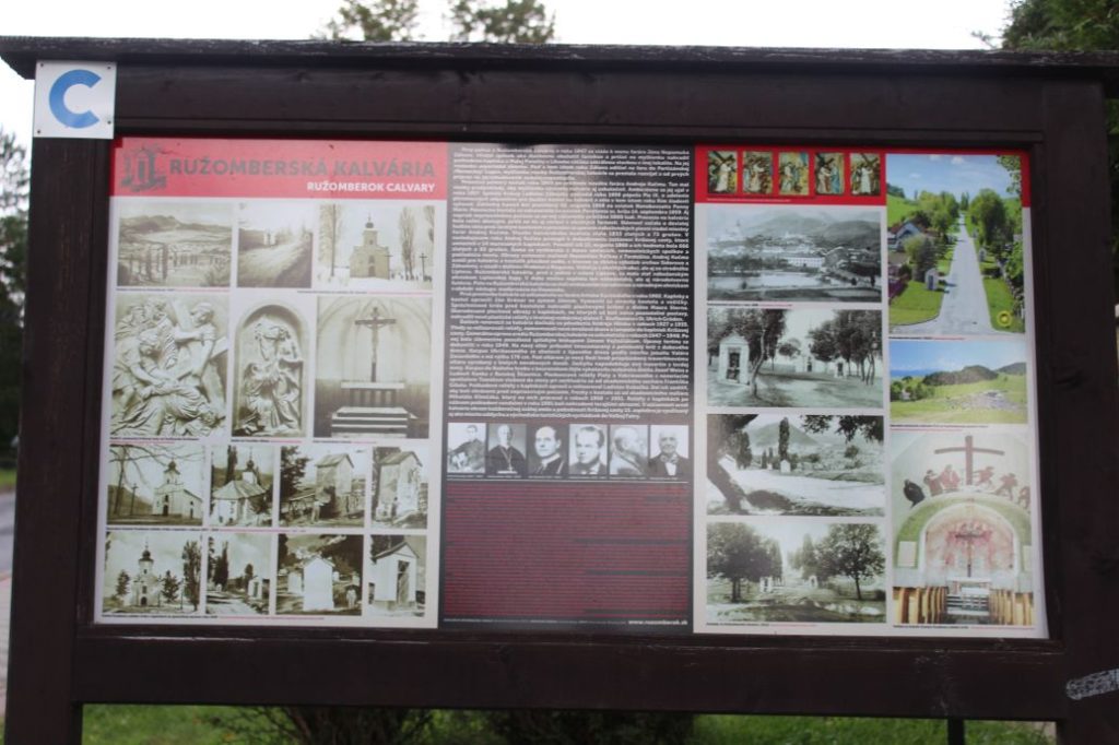
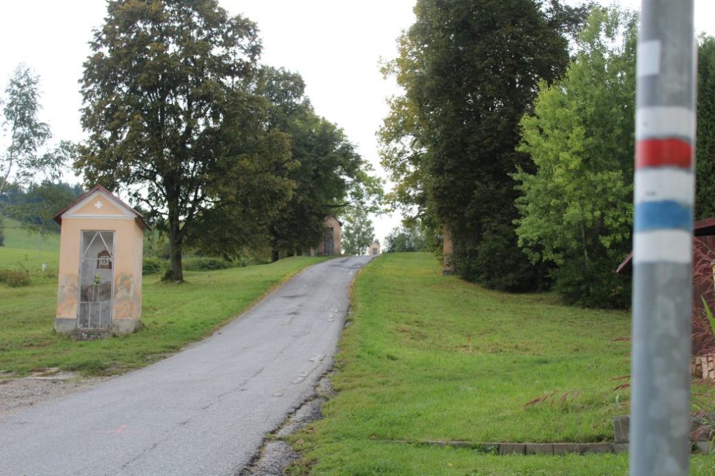
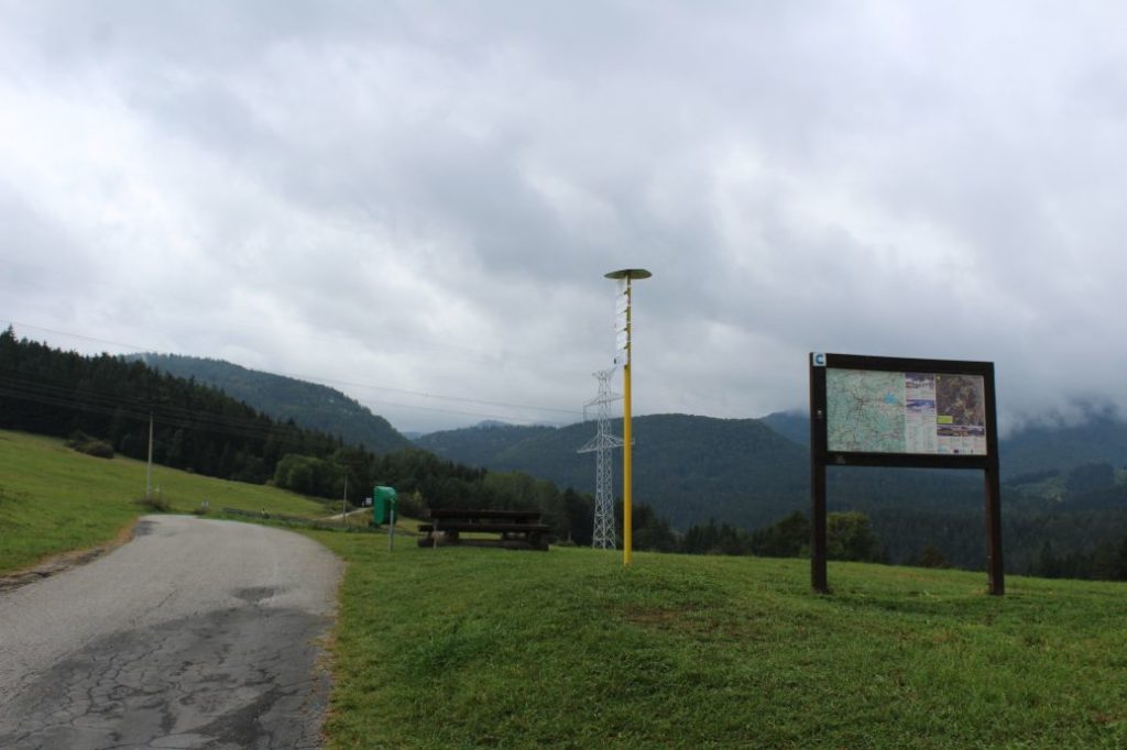
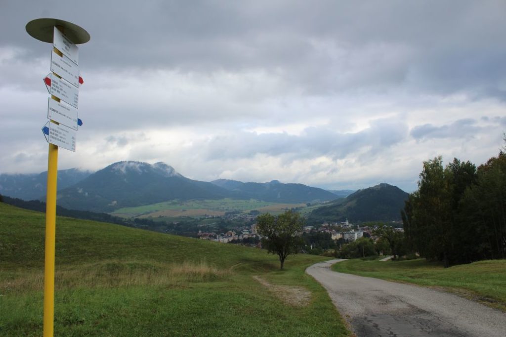
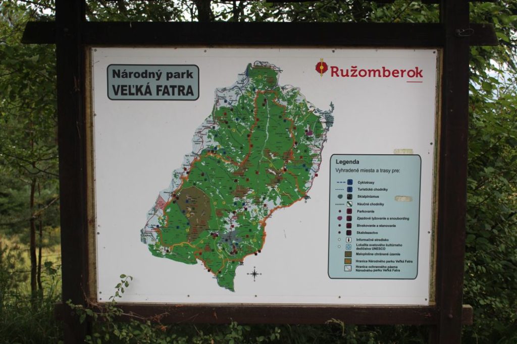
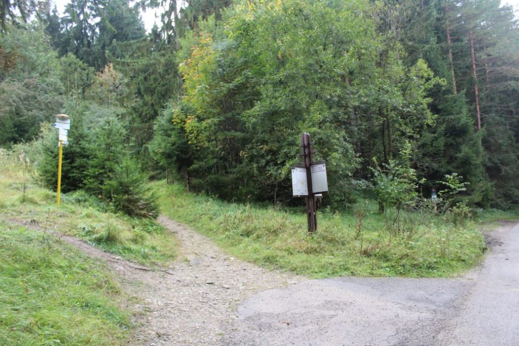
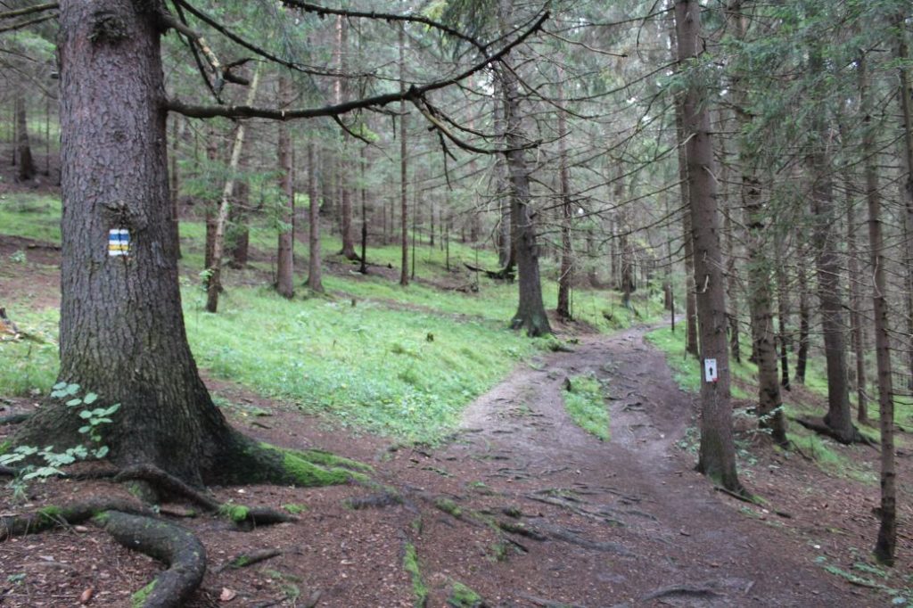
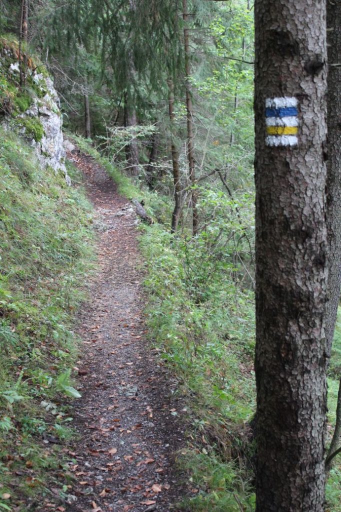
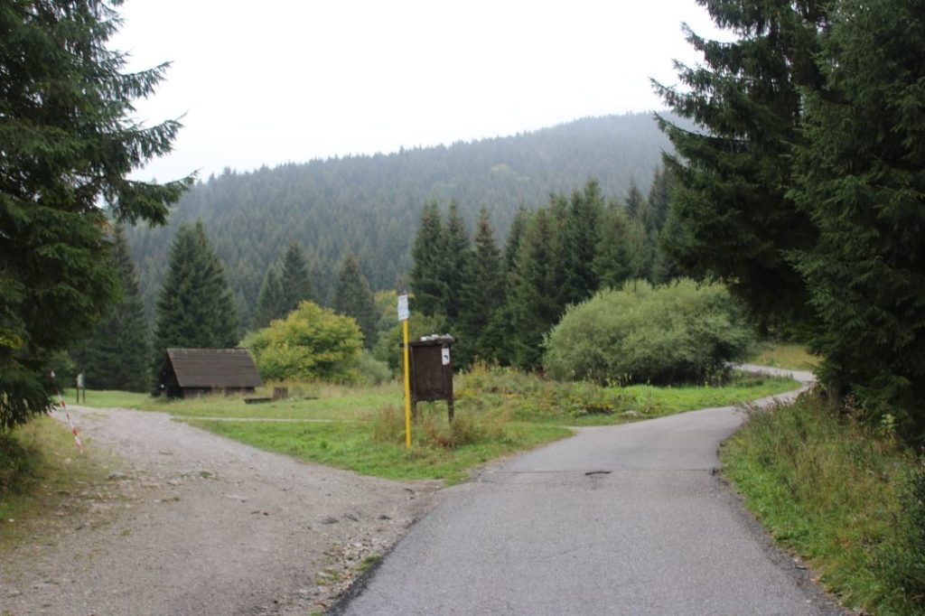
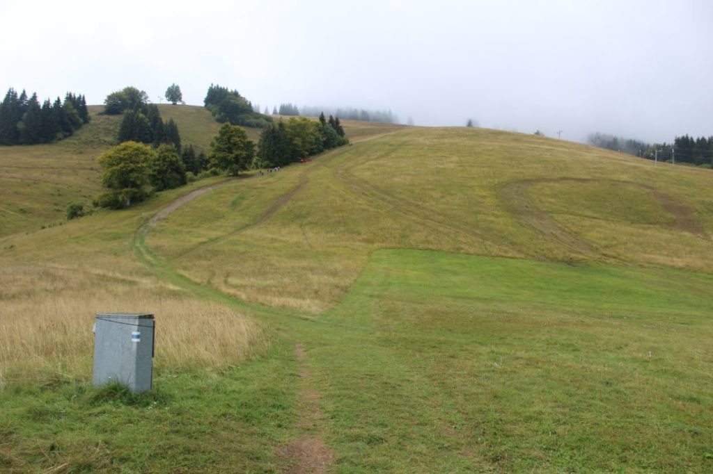
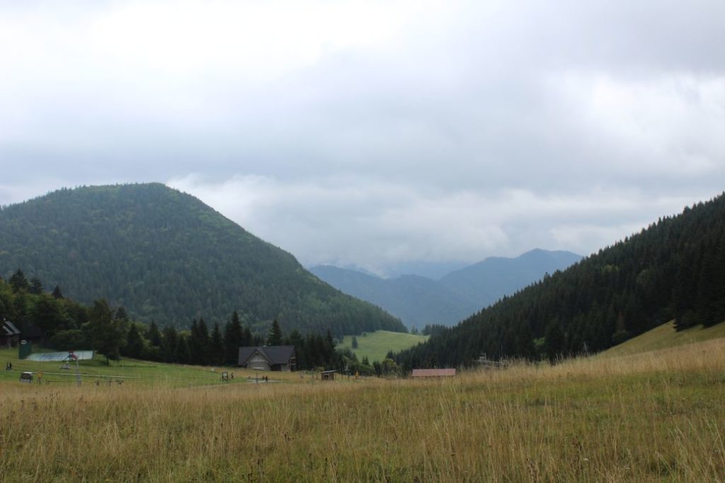
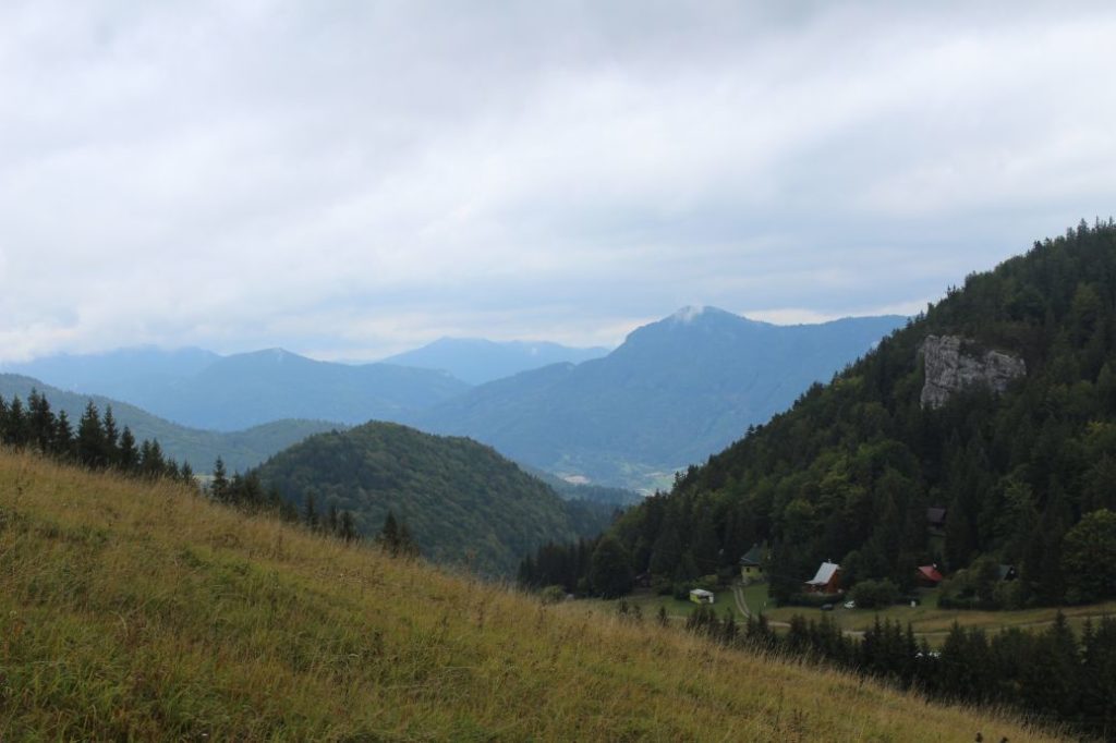
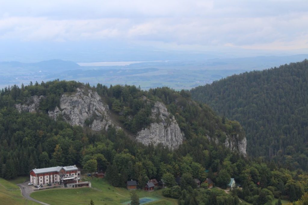
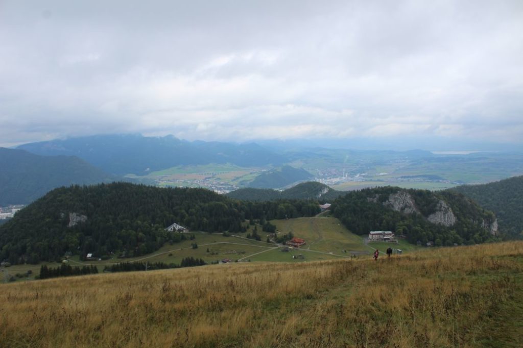
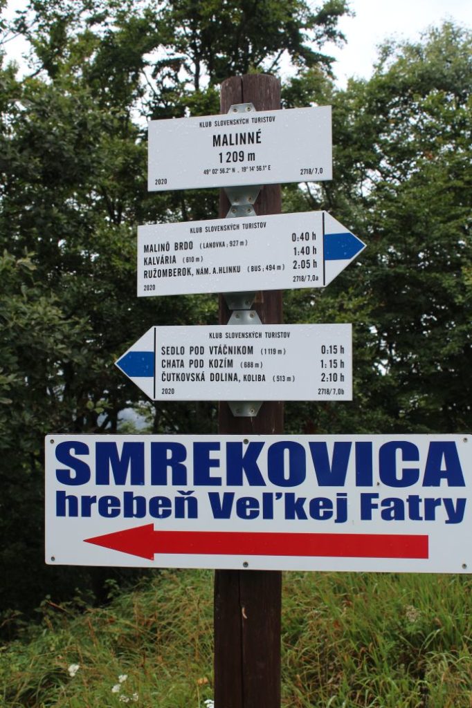
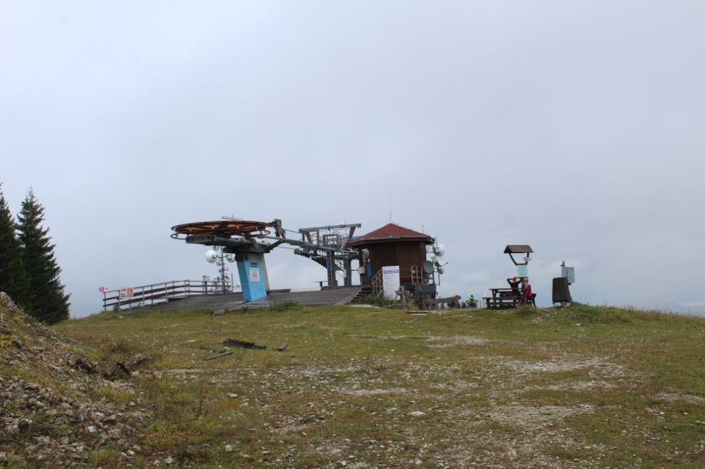
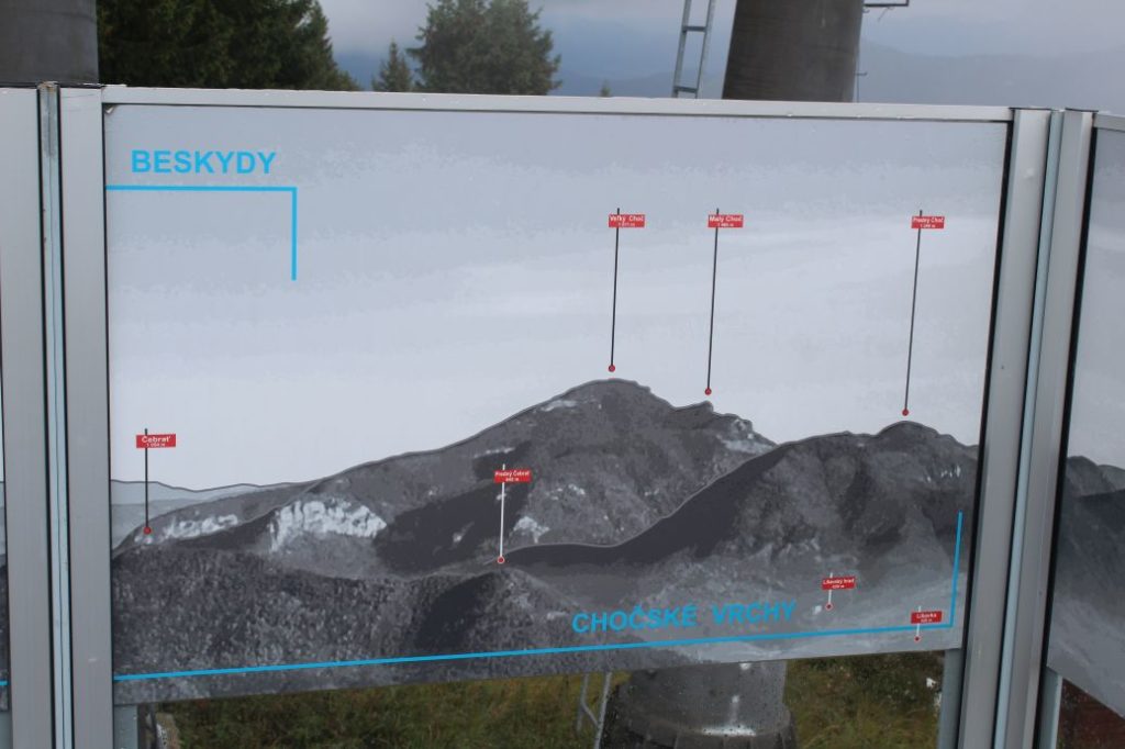
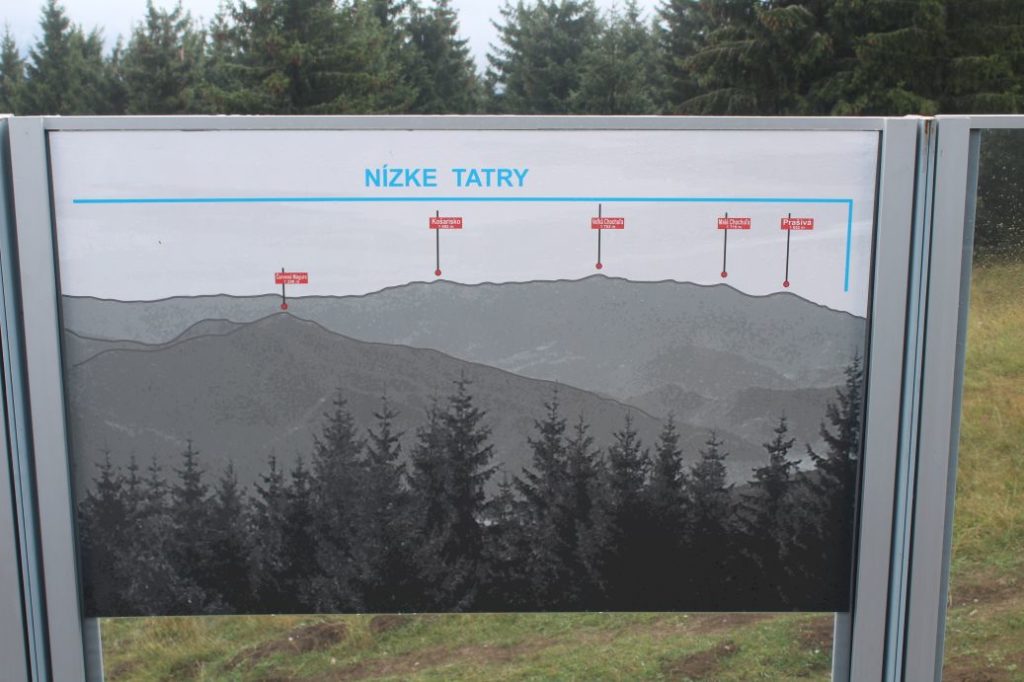
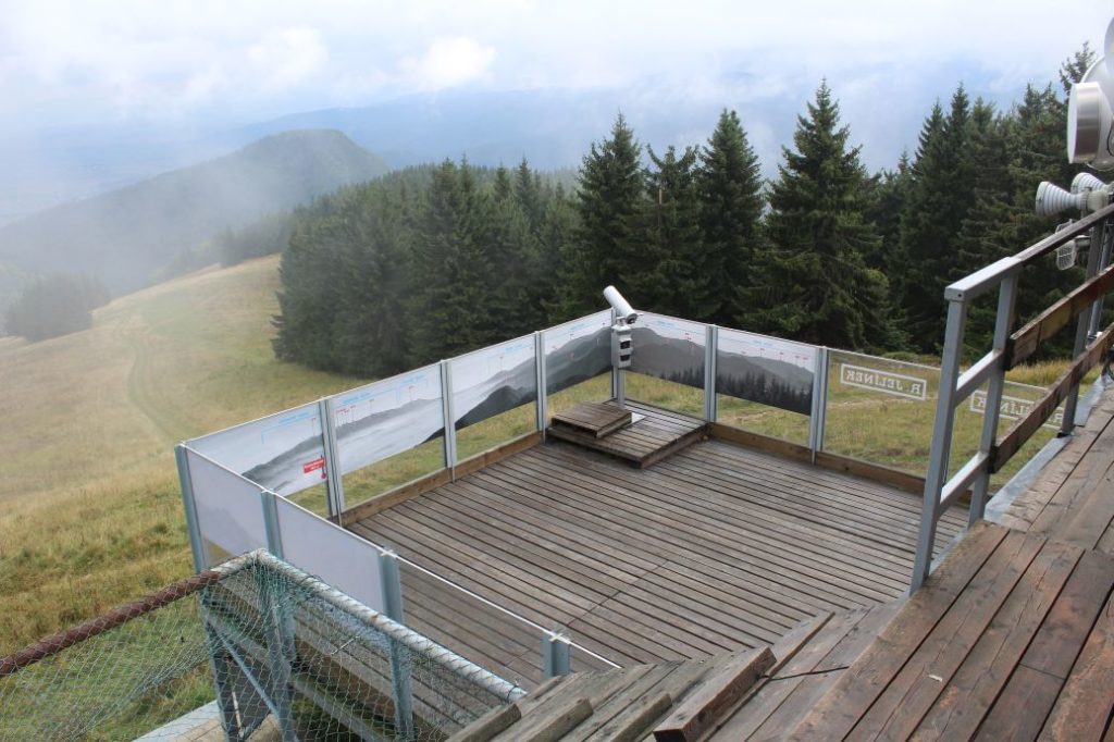
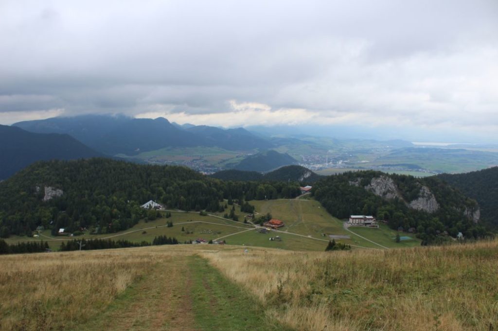
Our route begins in the centre of Ružomberok, at Andrej Hlinka Square, by the tourist signpost next to the Marian Column in front of Ružomberok’s Town Hall. Along the entire route, we will be guided by the blue-marked hiking trail, which runs through the centre of the square, through the protected tree alley, to the former Piarist Complex. The complex consists of a monastery, a school and a church, in front of which there is a mini park of John Paul II. The blue mark leads us through the streets of the town to the beginning of Ružomberok’s Calvary, where we see an educational panel about the Calvary. We continue in between the chapels of the Calvary and past the Calvary Church, to the signpost at the Calvary. Situated here is a sitting area and an information panel about the attractions in the town, including panorama and description. From the Calvary, you get a lovely view of Ružomberok with peak Mních rising above the town, the Likava Castle, the Choč Mountains and a part of the West Tatras. After a short rest, we continue on the road towards the woods, near which there is a schematic map of the Great Fatra National Park. At the periphery of the woods, by signpost “Za Kalváriou, rázcestie“, we turn to the left and enter onto a wood path, which is going to lead parallel with the road we just left. After the first few metres through the woods, the path leads us to a panel on a tree, which informs us that there is also a one-way bike trail called “Singletrail Rozprávkové Endruo“ running along our trail. The trail leads through the woods, copying the terrain with mild, but continuous rising. The trail passes above a meadow with a feeder, to higher altitudes with steeply falling slopes of Sidorovo hill. The trail becomes more and more cut into the slope and it passes by rocky cliffs, which, at some places, extend into the trail. The final section of the trail consists of a mild descent onto the asphalt road from which we turned away at the beginning of the woods. We continue on the road, passing by the signpost at Vlkolínske Lúky (Vlkolínec Meadows), near which there is a hiking shelter and a sitting area, in the direction to ski resort Malinô Brdo. On our right, we may notice the rocky cliffs of Halín, which are used as climbing terrain for mountaineers. The road will lead us to the resort, in which there are accommodation facilities including refreshment establishments, which we might use and get some refreshments before the steep climb up the ski run. From signpost “Malinô Brdo“, we go straight to the ski run, which we climb on the left side, by the trees. We are leaving behind the trees and now, instead of the trees, we are guided by the lines of the artificial snow system with hiking marks. Every time we take a little break and look back, the views reveal more and more distant surroundings. In the final section of the climb, we come to a wooded area, where we go slightly to the right, in the direction to the top station of the chair lift, on the now less steeply rising meadow / ski run. Below the peak of Malinné, there is a terrace built by the station of the lift, with a view of wide surroundings. On the terrace, you will find maps of the ski runs for winter and the downhill bike tracks for summer. There is also a sitting area and a telescope. On the handrails of the terrace, you can find panels with panoramic views of the surrounding mountains, including description of what you can see from the terrace. You can see Oravská Magura with Kubínska Hoľa, the Choč Mountains with Great Choč, the West Tatras with Pachoľa, Baníkovo and Baranec, the Low Tatras with Poludnica, Salatín and Prašivá. You will also get a view of the Liptov Basin with a part of the High Tatras with dominant Kriváň peak. After getting enough of the views, we return down to the resort along the same route. This time, we can also use the restaurant services, in addition to the refreshment establishments, after all, we deserve it after our hike. After regaining our strength, we return back to the beginning of our trip along the same route.
Notes:
– There is a parking lot at the beginning / end of the route.
– At the beginning / end of the route, there are staircases with Andrej Hlinka Mausoleum, which are open for visitors in the summer months.
– In the vicinity of the beginning / end of the route, there is a grocery store, restaurants and refreshment establishments.
– At the Calvary, there is also a map of closer and wider surroundings.
– On the way back, instead of the wood path, we can also use the asphalt road for our descent.
– For our descent to the resort, we may also use the cable car lift or rent mountain cars or scooters.
– At the Information Centre in Ružomberok, you can also get a collector’s stamp of Malino Brdo.
– If you have enough time, we recommend making a detour from Vlkolínske Lúky (Vlkolínec Meadows) to Vlkolínec, which is included in the UNESCO List of World Cultural Heritage.

