Along the ridge of Sidorovo
A medium-difficulty route through Ružomberok’s Calvary and the ridge of Sidorovo with a lot of views of the surroundings, with an element of a trip to the past.
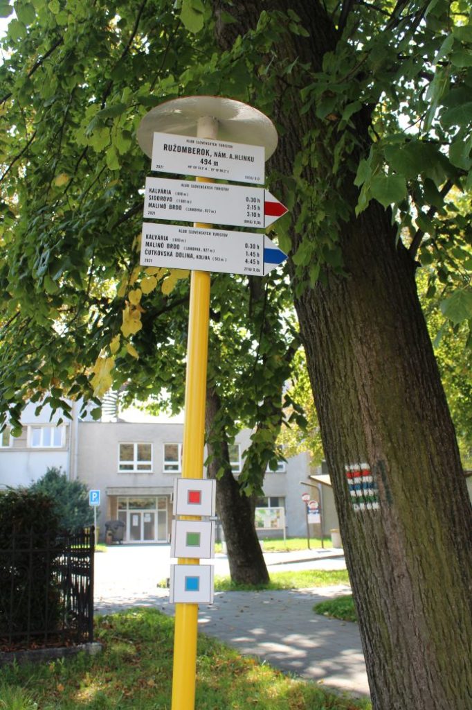
Start and destination: The centre of Ružomberok by the Municipal Authority building (Andrej Hlinka Square)
Route: 14.0 km (circuit)
Estimated time: 5.0 hours
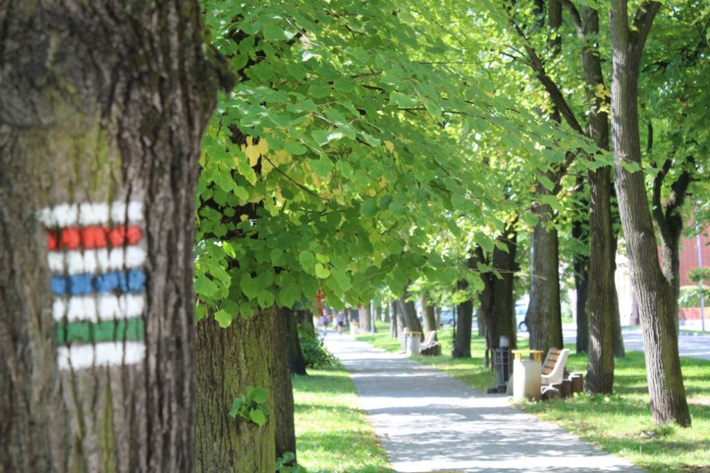
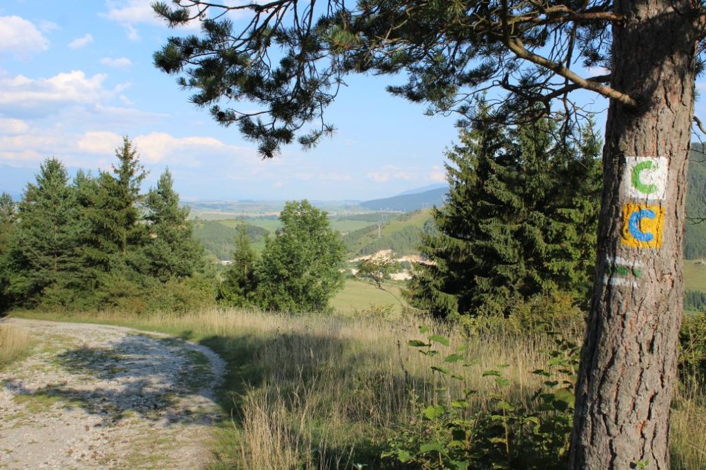
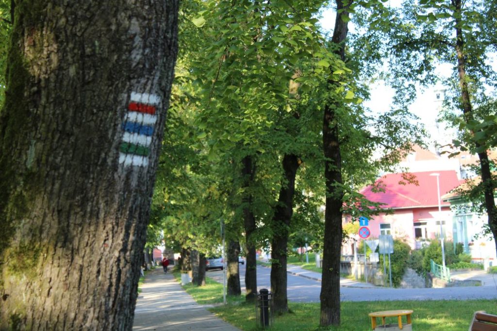
Marking: Red, Yellow hiking mark, Green bike trail, Green hiking mark.
Vertical distance: 750 m
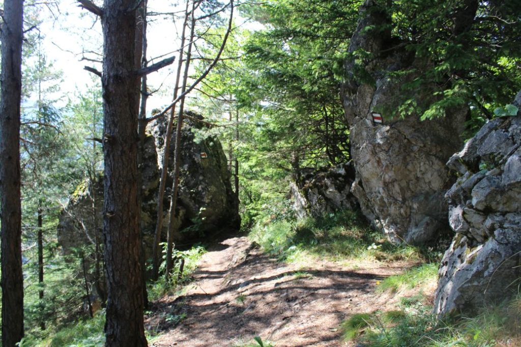
Difficulty level: The route includes steep downhill and uphill sections, and there are some sections where the terrain is rocky, muddy, with many protruding roots. The most difficult part is the descent from Sidorovo on a steep downhill path through rocky, wooded terrain. At some places, you need to look for the marking to help you navigate.
Safety: At the beginning of the route, pay increased attention particularly when crossing the road and use the pedestrian crossings. Although there is a prohibition of entry by motor vehicles on the road through the Calvary, the cars with a permit are allowed to enter, and they are not just a few. The section through the ridge of Sidorovo is often slippery even in dry weather, as the trail is steep in several places. The viewpoint at Veľká Skala is not secured, you need to be careful. The viewpoint at the top of Sidorovo is secured with metal railing and chains. The descent from Sidorovo is the most demanding section of the route and you need to think about where to step and what to hold onto, as the terrain is very steep, slippery and smoothed out. The descent from the notch below Sidorovo to Vlkolínec runs on a gravel road, which includes steep downhill sections and its rocky surface is not fixed. The section from Vlkolínec to Ružomberok runs on an old paved road, which might be slippery. During the final walk through the town, you need to pay attention to the traffic in the town and use sidewalks and pedestrian crossings. For safety reasons, we do not recommend bringing along children under the age of 10, the older ones will also need assistance, especially during the descent. The route is also not suitable for persons with reduced mobility. We recommend using hiking poles and high-quality anti-slip footwear.
Transport:
By car: Parking at toll free parking lots at Andrej Hlinka Square.
Route:
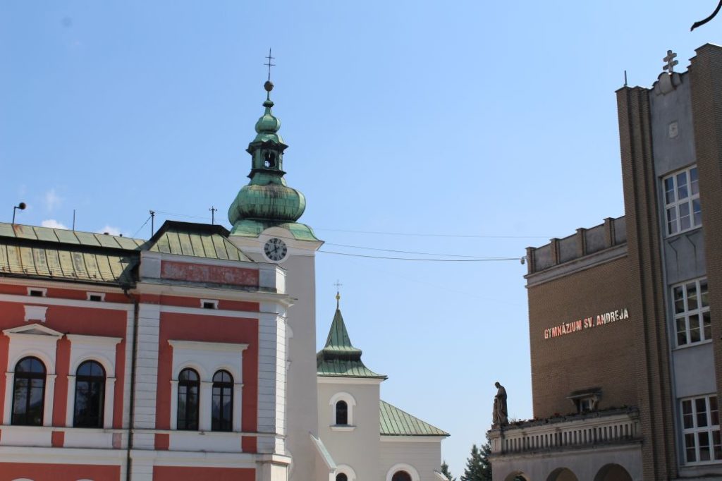
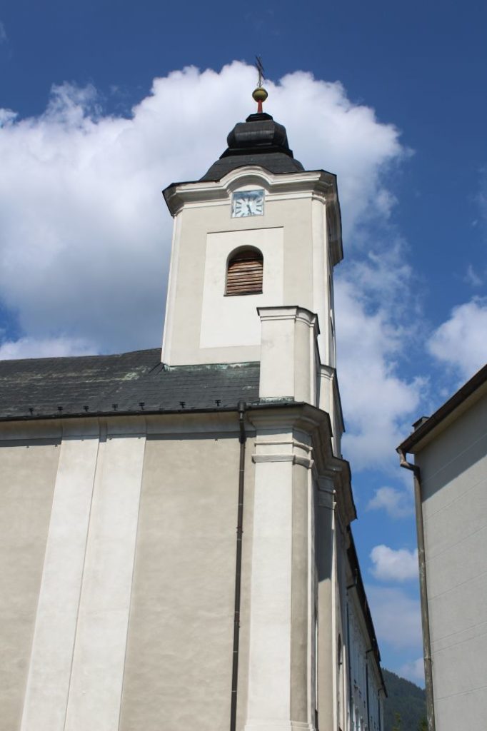
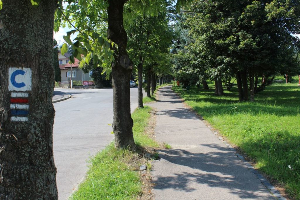
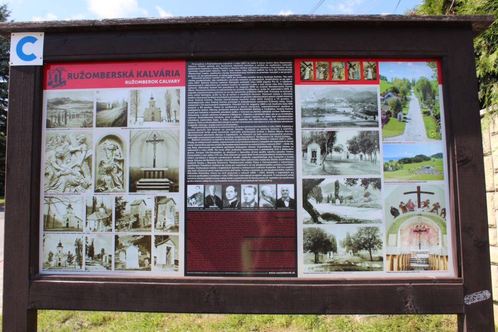
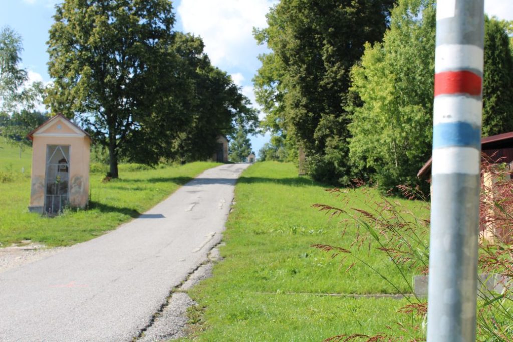
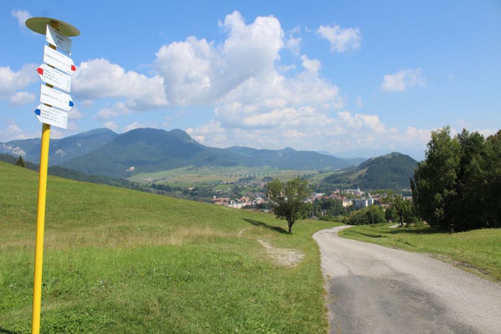
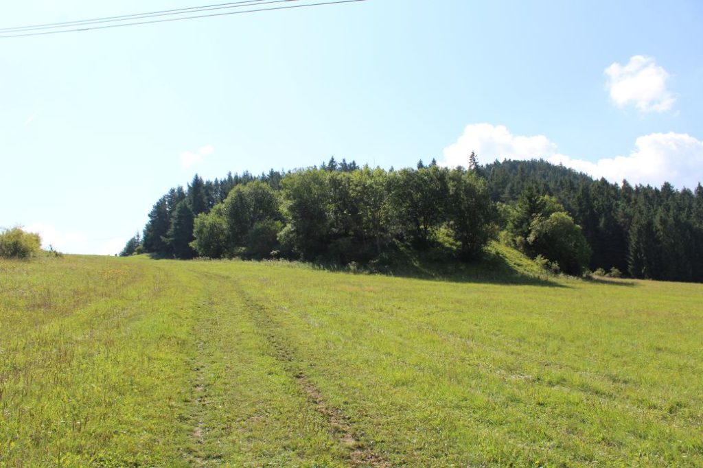
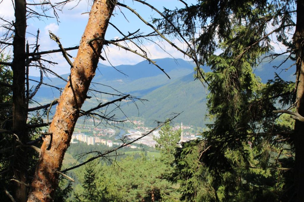
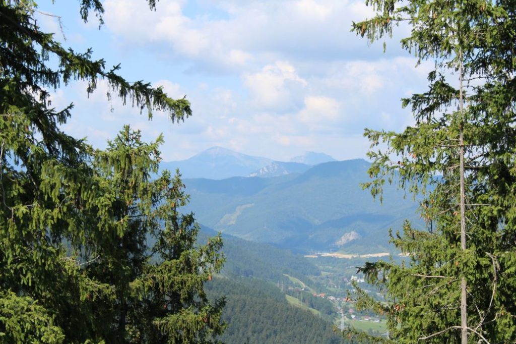
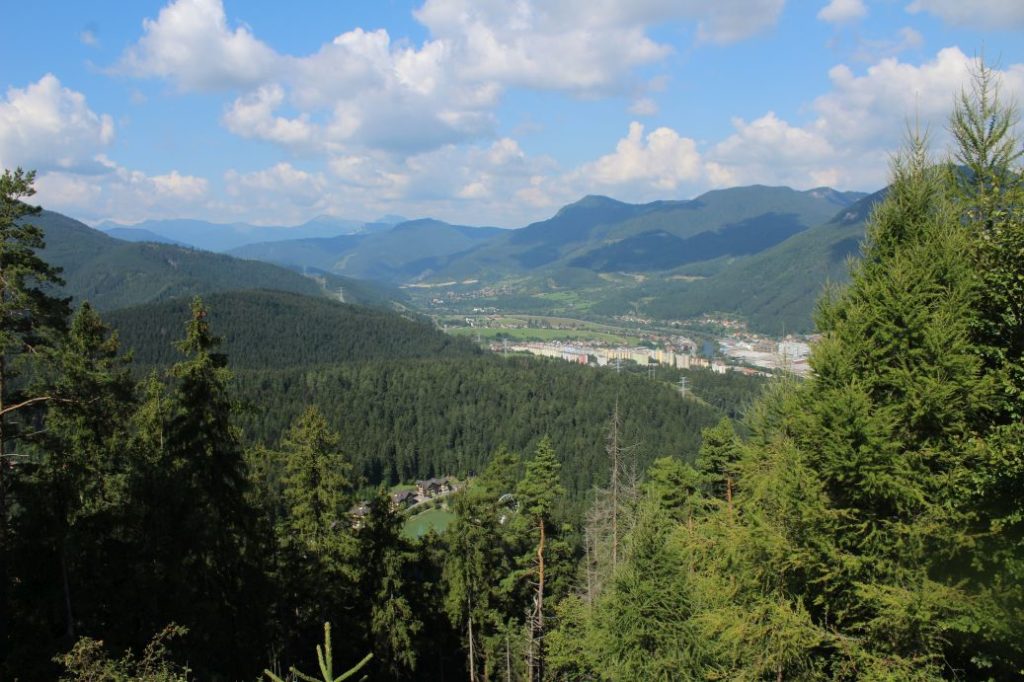
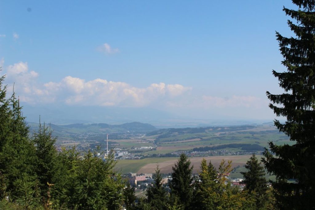
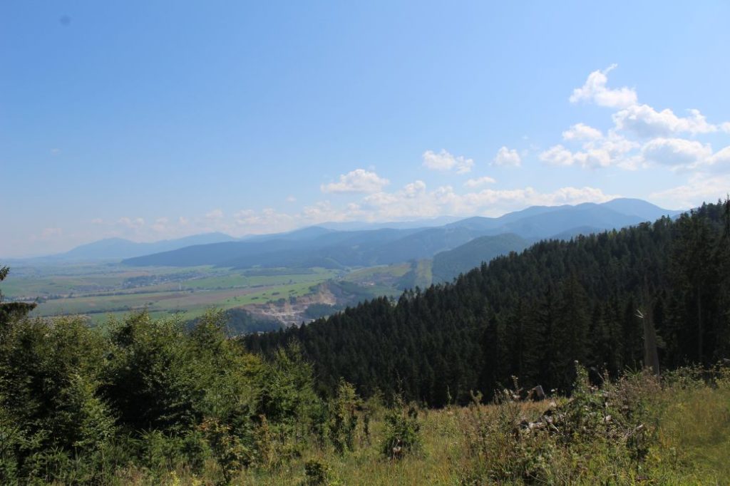
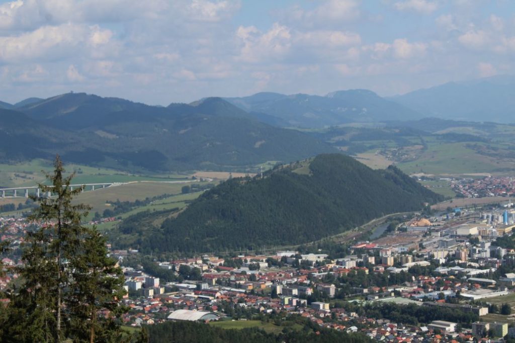
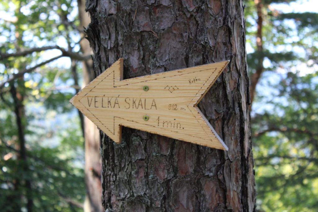
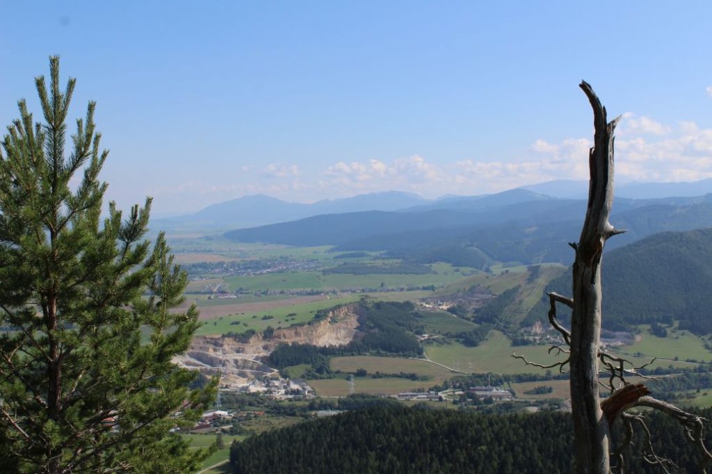
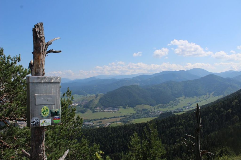
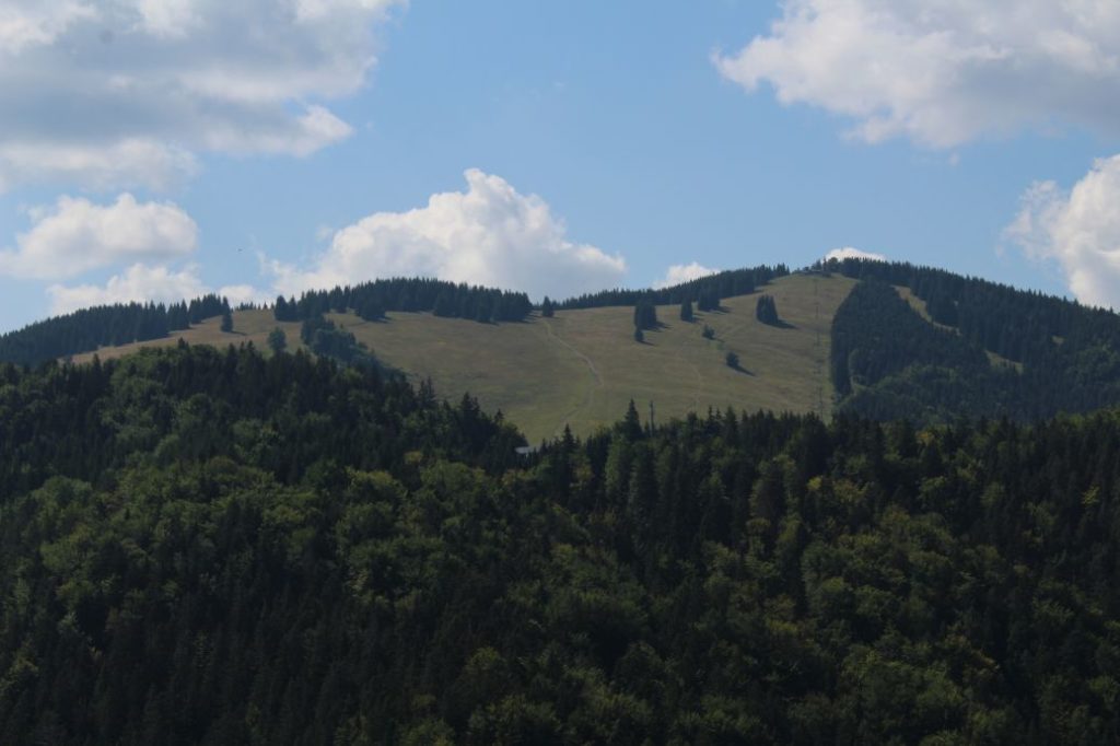
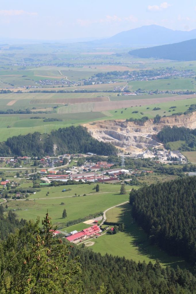
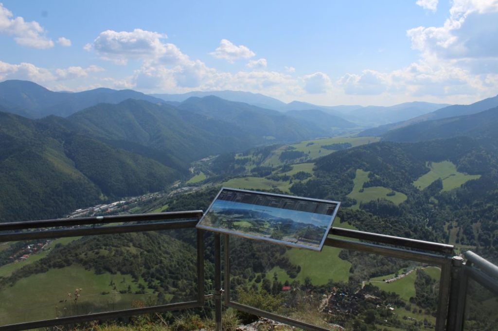
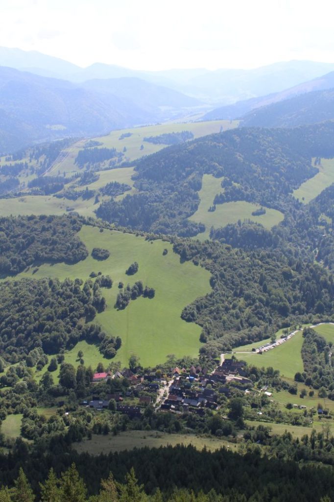
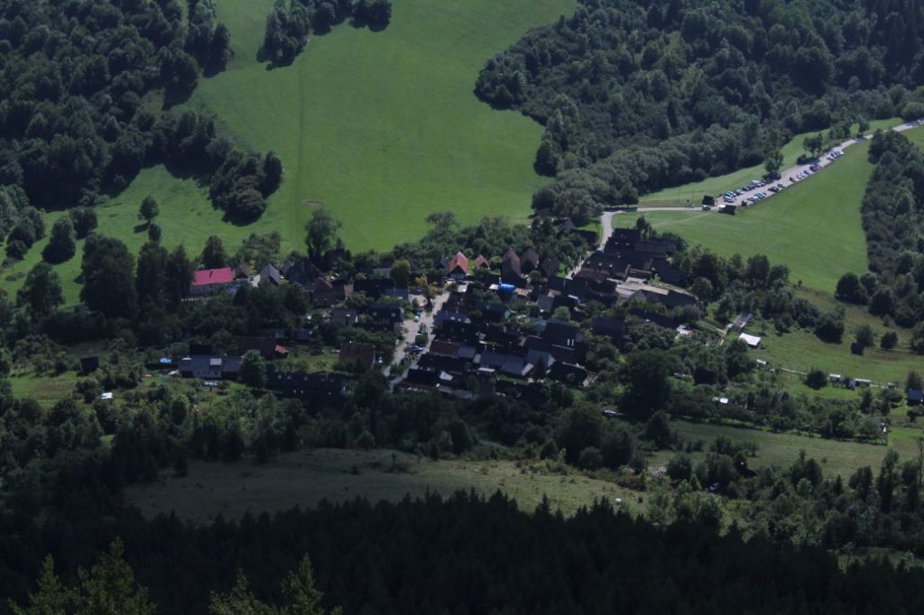
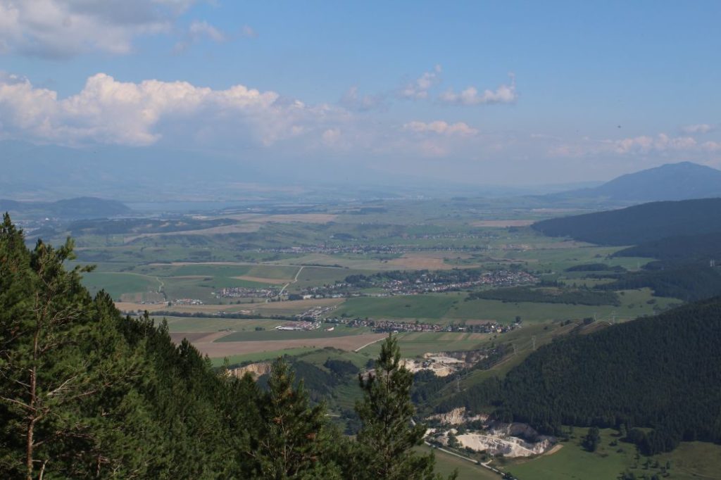
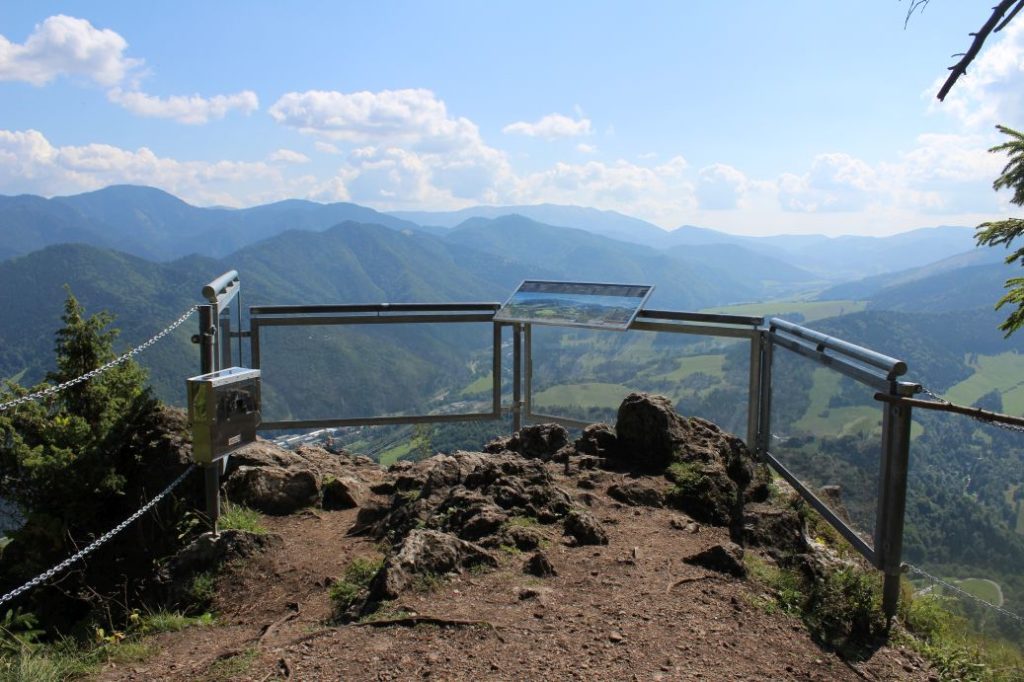
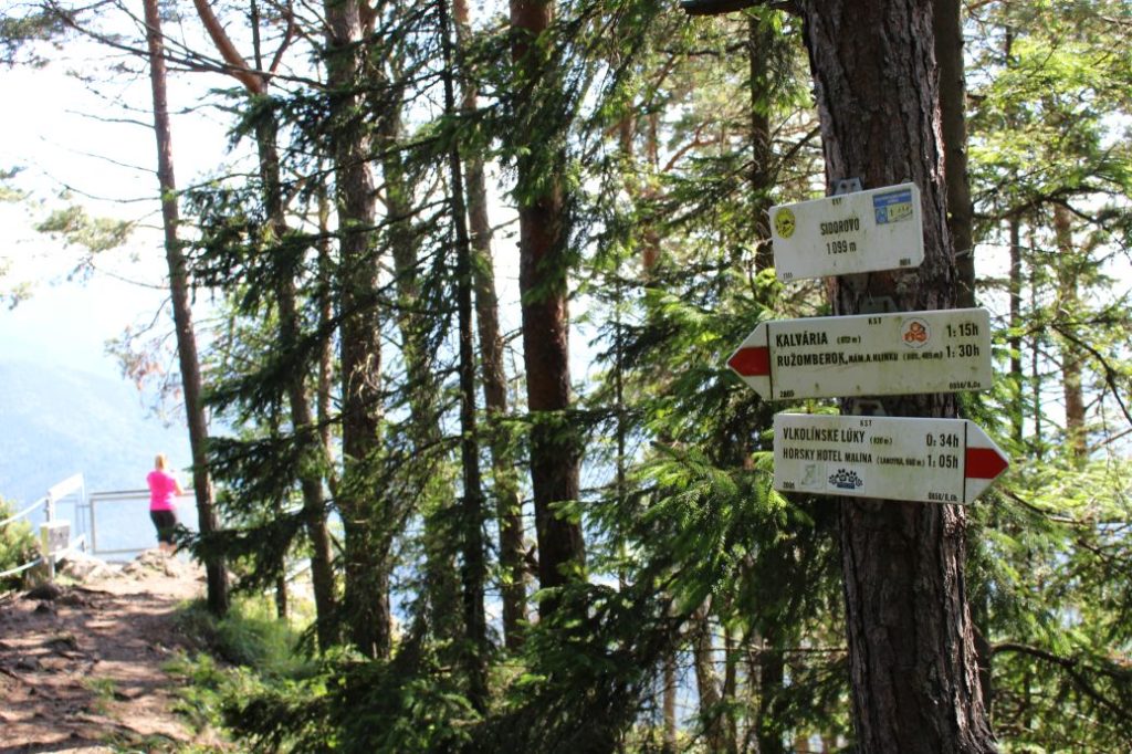
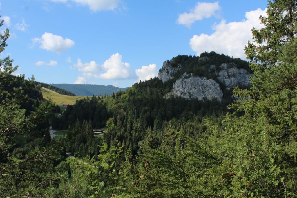
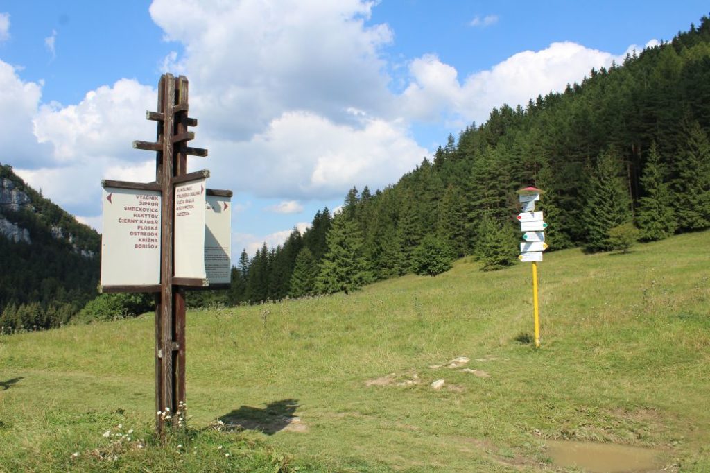
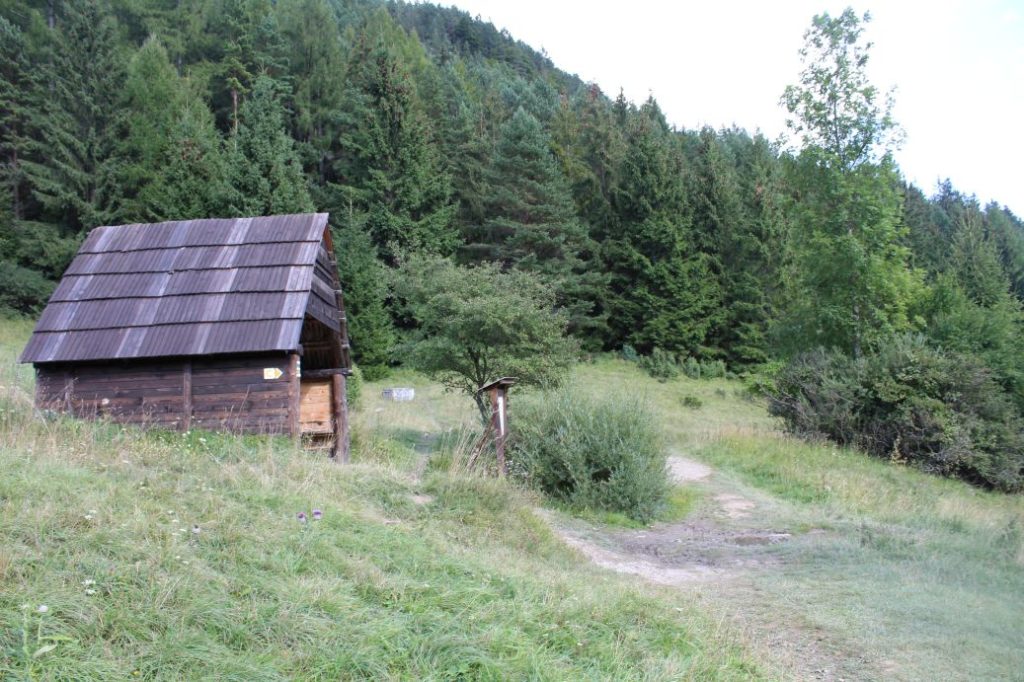
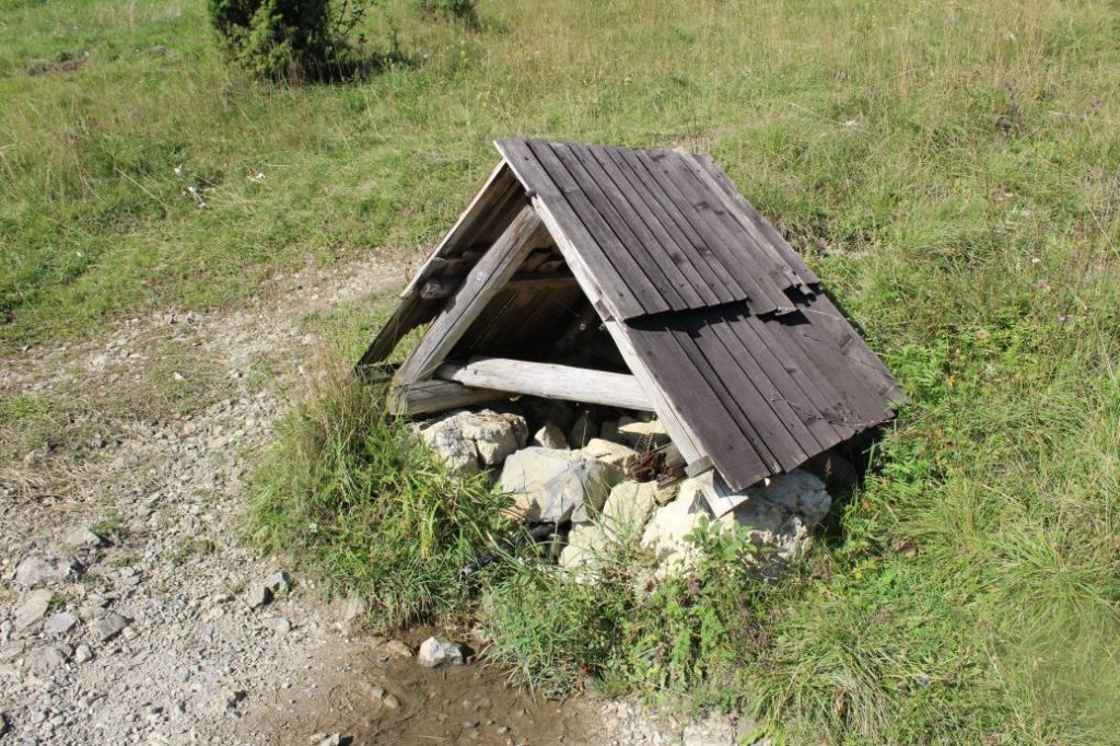
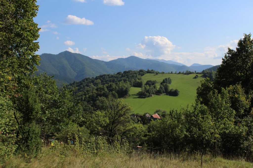
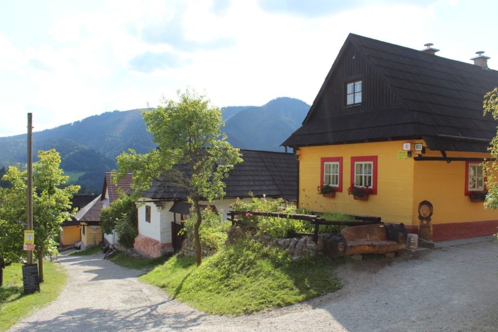
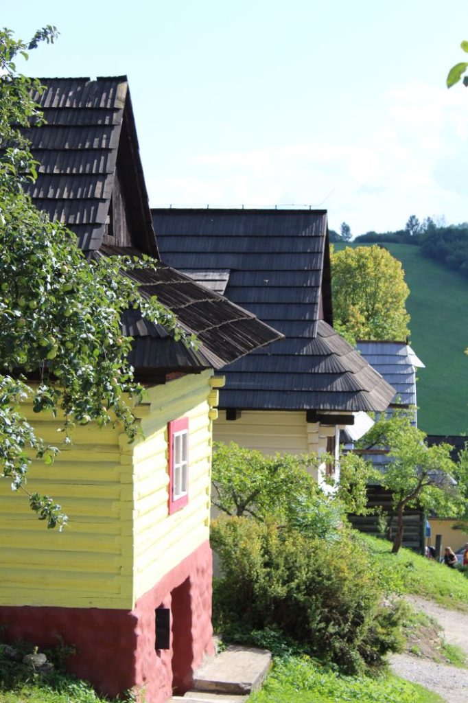
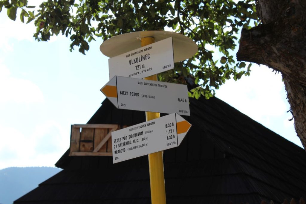
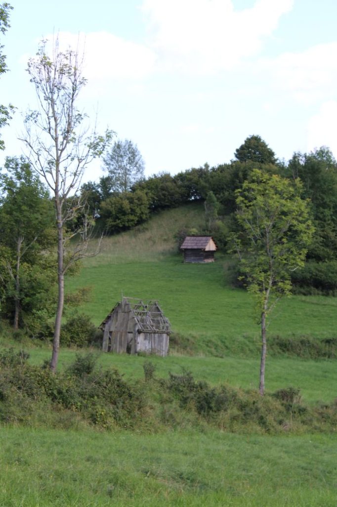
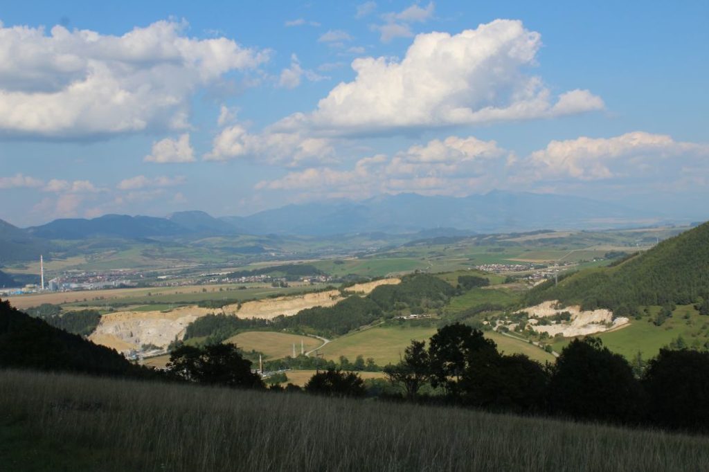
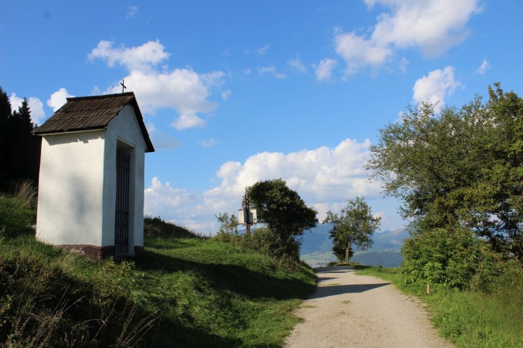
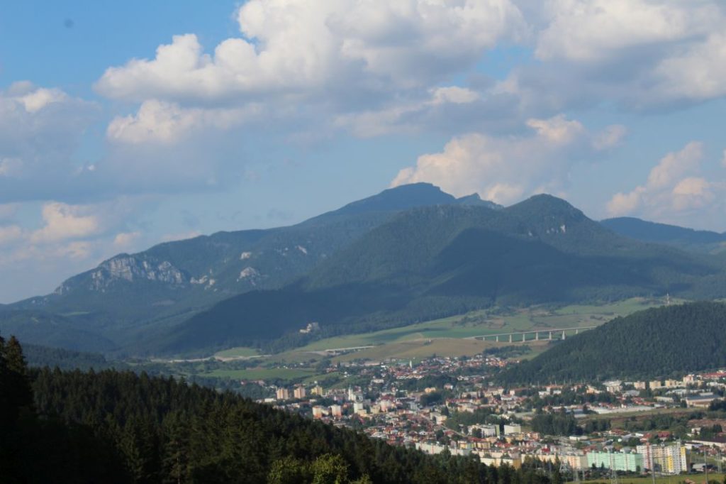
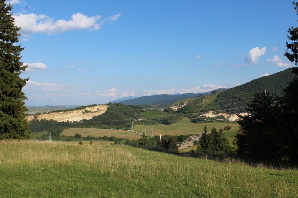
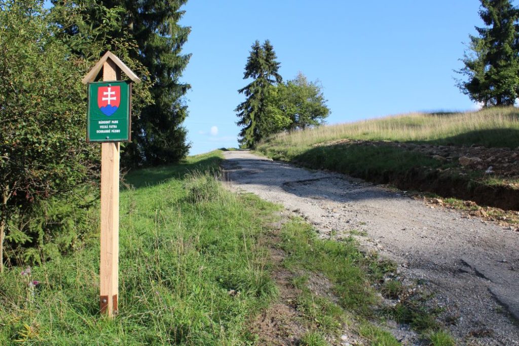
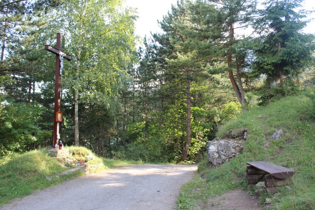
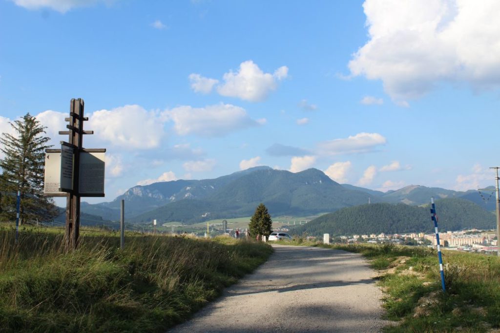
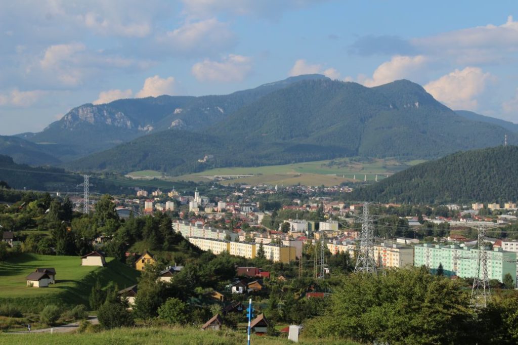
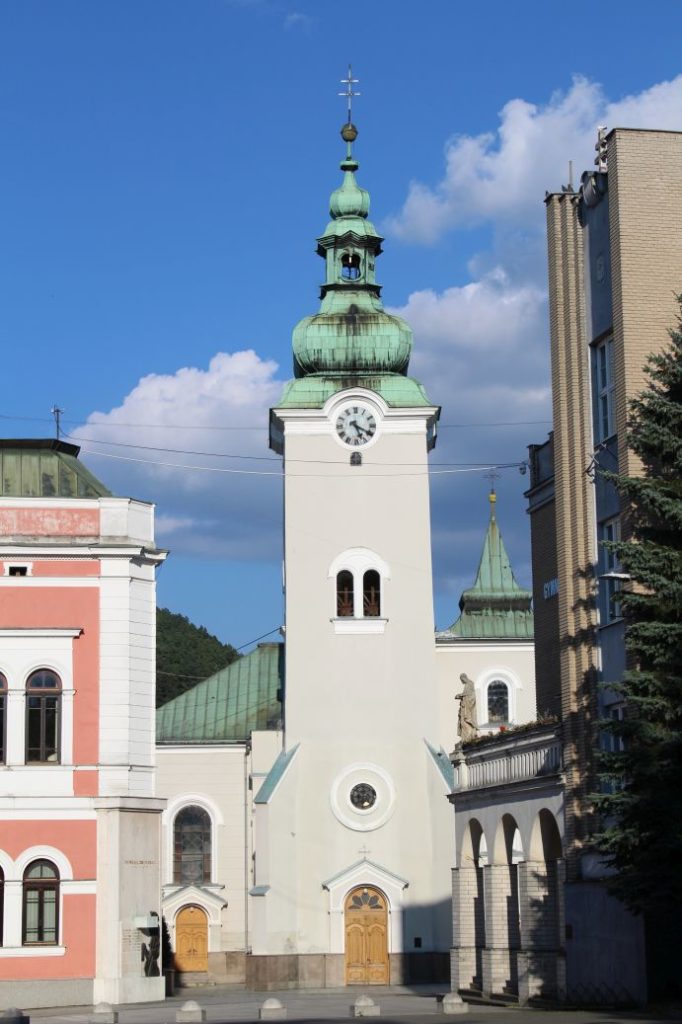
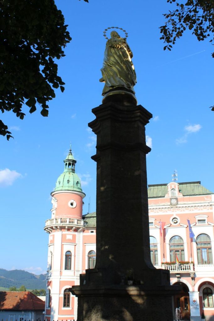
We begin in the centre of Ružomberok, at Andrej Hlinka Square, by the Marian Column in front of Ružomberok’s Town Hall, from where we are guided by a red-marked hiking trail through the centre of the square, in a protected tree alley. We arrive at a former Piarist complex (a monastery, a school and a church), situated near which is a mini park of John Paul II. The red mark leads us to the beginning of Ružomberok’s Calvary, where we see an educational panel about the Calvary. We continue in between the chapels of the Calvary and past the Calvary Church, to the signpost at the Calvary. Situated here is a sitting area and an information panel about the attractions in the town, including panorama and description. From the Calvary, you get a lovely view of Ružomberok with peak Mních rising above the town, the Likava Castle, the Choč Mountains and a part of the West Tatras. After a short rest, we continue on the meadow in the direction to the left of the road on which we came here. We arrive at the ridge, approaching a wooded area, where we get more views of Ružomberok, the Liptov Basin, the Low Tatras, the Choč Mountains and the West Tatras with a part of the High Tatras. We enter the wooded area and the wood path will lead us to a former jumping ramp with a referee’s observation tower and concrete abutments of the ramp structure, which have remained here. We continue along the path on the ridge, which leads us uphill, to felled areas, which will gradually reveal views of a part of the Small Fatra and the Great Fatra, the Low Tatras and the West Tatras, the Choč Mountains or the ski run in Maline, Hrabovo, the town of Ružomberok and the Liptov Basin. At the place where we descend to a small notch and the path starts to run uphill again, you need to be careful to not let the trodden path lead you astray below the ridge, but to stay on the ridge. The path will lead us to a viewpoint on a rocky cliff called “Veľká Skala“, from where we get a lovely circular view of the surroundings. This is probably the place with the most beautiful view of the entire route. If you want to, you may sign the hikers’ book at the viewpoint, and after walking down back to the trail, we continue further, passing below the rocky cliff, following the ridge in the direction to the wooded peak of Sidorovo. After a short descent, the path starts to run uphill again. The marking will lead us to a place where the path is turning away from the ridge to the left and down the hill, but we will not be led astray and will continue along the ridge. A little bit further ahead, the ridge becomes wider and the trail leads slightly to the right, from where it curves back to the ridge after a short while. After a few dozen metres, we are passing by old direction signs from 1975. At the top of Sidorovo, which is the highest point of our route, there is an information panel about the hill fort which was situated here in the past. At the southern section of the peak, there is a viewpoint terrace located on the rocks, with a viewpoint panel and a hikers’ book. The viewpoint offers a view particularly to the south, of a part of the Great Fatra and the Low Tatras. However, the most interesting part of the view is the village of Vlkolínec. After sufficient rest, we prepare ourselves for the technically demanding descent. The route runs continuously downhill through steep wooded terrain, by-passing rock formations. You need to think about your steps and use the terrain and the trees to support yourselves. You might feel that you need a ladder or a staircase at some places. In the final section of the descent, we arrive at a small rocky viewpoint, from which we can see the ski resort of Malinô Brdo and the rocky wall of Halina. After a short section of steep descent, we arrive at meadows with a signpost titled “Sedlo pod Sidorovom”. Along the yellow-marked hiking trail and bike trail, we continue to the left, to Vlkolínec. After a short walk, we come to a hiking shelter with a sitting area, where we can rest after our descent. Situated by the shelter is an information panel about the location in which we are. A few metres away from the shelter, we come to a well, which is often dried out in summer. The downhill road leads us down the hill, below Sidorovo peak. At steeper sections, the road surface becomes rocky, which means there is a risk of slipping. After a few minutes, we arrive at the village of Vlkolínec, where we enjoy a bit of history on our route. Vlkolínec consists of many original wooden houses set in the sub-mountainous landscape. Due to its preservation level, it has earned the entry in the UNESCO List of World Cultural Heritage. There are several exhibitions in Vlkolínec, as well as souvenir shops and a restaurant. After the tour of Vlkolínec, we continue along the paved road running past the church slightly uphill. In this section, we will follow the green-marked bike trail. We are passing by the cemetery, situated near which is an educational panel. To the right of the road, you might notice old wooden stalls (hay barns), which are as if dotted all over the Vlkolínec surroundings. We arrive at the highest point of the road, where we get views of the Choč Mountains and the West Tatras. Continuing slightly downhill, we come to a wooden hiking shelter, near which there is also a spring. Not far away from the shelter, a green-marked hiking trail will connect to the road and it will lead us all the way to our destination. We come to a chapel, situated behind which is the natural monument of Krkavá Skala (Krkava Rock), about which we can read on the information panel located at another hiking shelter situated a few metres above the chapel. There is another well situated behind the shelter. While walking down the road, we can admire the views of Ružomberok, the Choč Mountains, the West Tatras and the Liptov Basin. The paved road will lead us to a garden settlement, behind which there is a wooden cross. We come to an asphalt road leading to farm Gejdák, at which there is a restaurant we can stop by for some refreshments. At this place, we can walk down to the meadow on the right, from where we get a nice view of the town and of Great Choč. We continue on the road in the direction to the town, and at the edge of another garden settlement, at the place under the high voltage line, we turn left onto a paved road passing by the gardens. This road will lead us to another asphalt road, from which we get off after a few metres, once again to the left onto a paved road. The road will lead us to the houses at the periphery of the town. All we need to do now is to walk through the low-frequented streets of the town to the place behind the Piarist complex, where we connect to the already familiar path we followed at the beginning. After passing through the Andrej Hlinka Square, we will arrive at the end / beginning of our route.
Notes:
– There is a parking lot at the beginning / end of the route.
– At the beginning / end of the route, there are staircases and a mausoleum of Andrej Hlinka, which is open for visitors in the summer months.
– In the vicinity of the beginning / end of the route, there is a grocery store, restaurants and refreshment establishments.
– At the Calvary, there is also a map of the closer and wider surroundings.
– When planning the route, designate enough time for the tour of Vlkolínec, as it might add up to an hour to the route.
– In Vlkolínec, you can get potable water from a standpipe (it is shut down in winter months)
– You can shorten the final section of the route through the town by getting on a bus of the public transport system in the housing area of Baničné.
– At the information centre in Ružomberok, you can buy magnets of Vlkolínec and Sidorovo hill, or other souvenirs for collectors related to the route.

