Educational trail Čebrať - Skalky
The educational trail is situated in the cadastral territory of Likavka, 2.5 km away from the centre of Ružomberok. It starts by the Likavka Tourist-Information Office situated by the access road to the Likava Castle, and it ends in the area of Skalky, at the mouth of the valley between Malý Čebrať and Čebrať.
From the village, the trail leads us through the meadows by the fields, to the mining area. It continues through the woods, to mountain meadows, and then it runs down to the ponds at the periphery of the woods, which create small moors. On this trail, you will learn a few things about this area, the history of the local land communities, hunting, and the local fauna and flora. You will also see interesting locations with views of the surroundings.
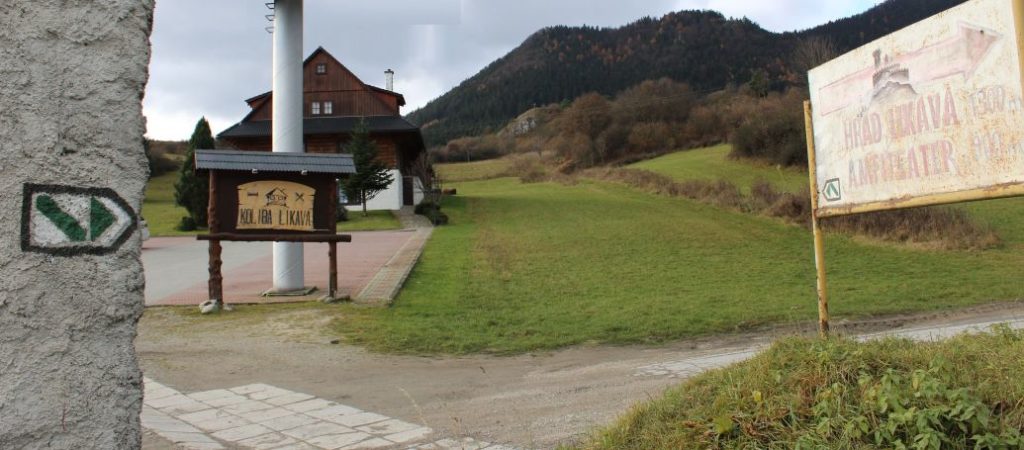
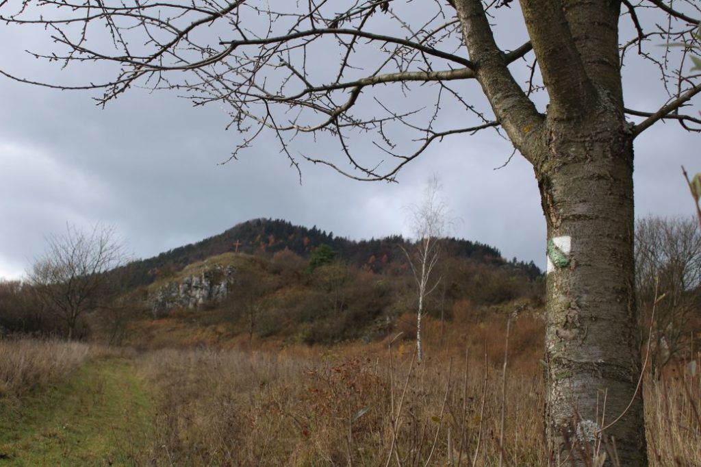
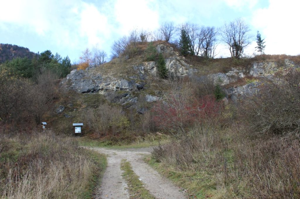
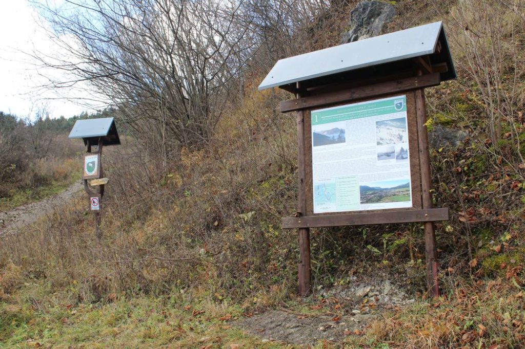
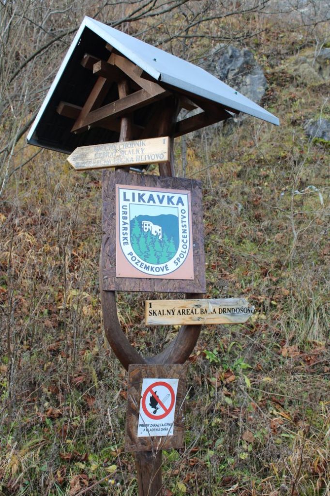
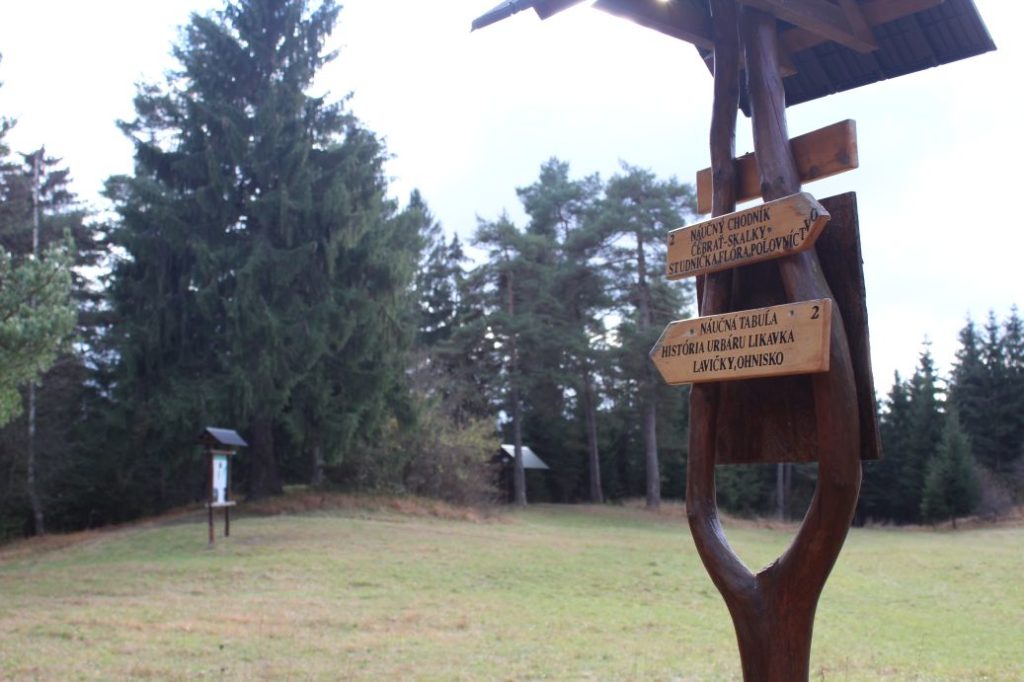
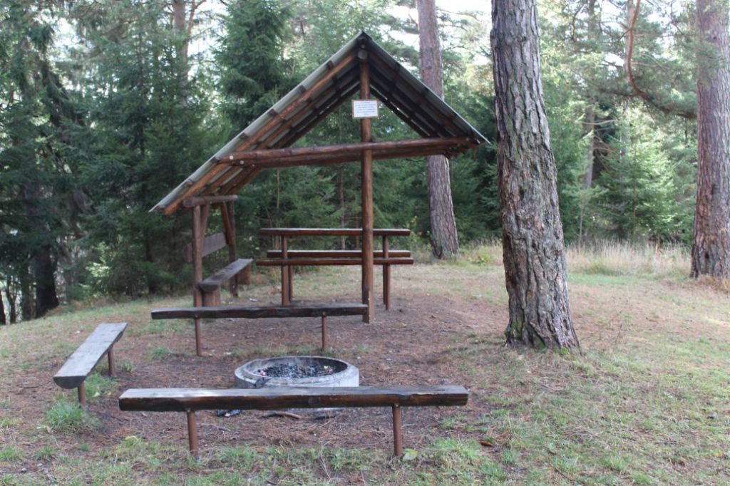
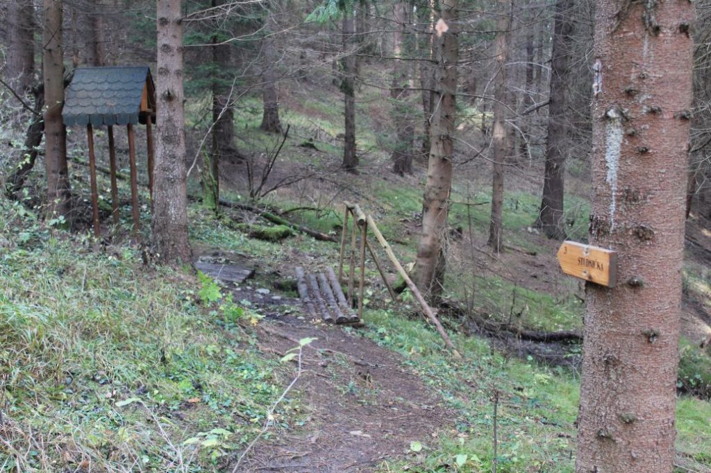
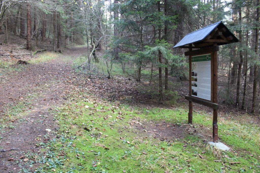
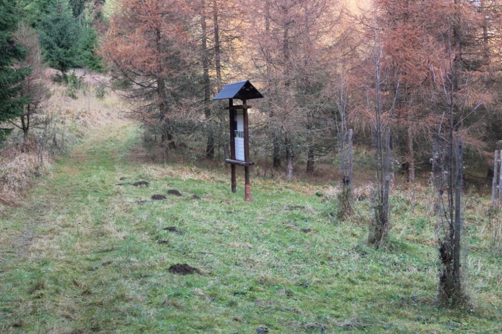
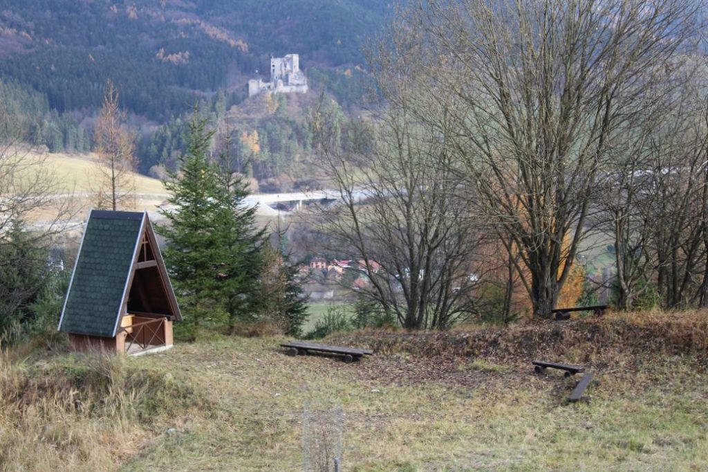
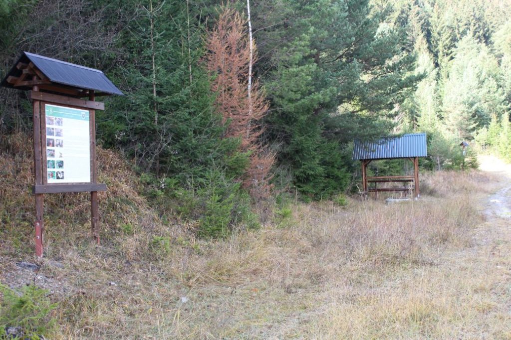
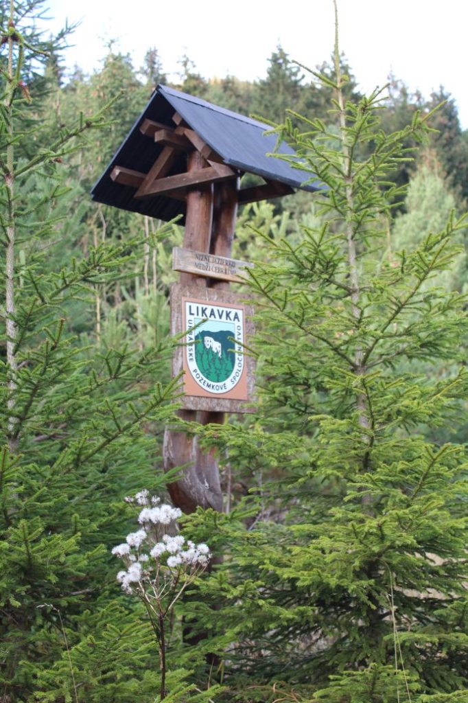
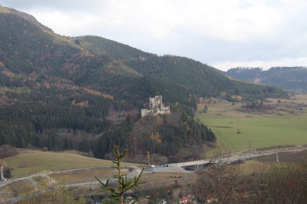
The trail begins at the northern part of the village of Likavka, by the Likavka Tourist-Information Office at “Pod Hradom” Street. The starting place of the educational trail is not marked in any way, but right from the beginning, we can see a mark of the educational trail painted on a pole, which navigates us in the direction to the main road. We will pay increased attention when crossing the road and we will wait for the traffic to clear, as this is a very frequented road. Passing behind the chapel, we continue to the right, however, we are not going to follow the road running north, mildly uphill, but we exit this road to the left after a few metres, and we continue parallel to shepherd’s hut “Koliba Likava”, up the hill along the periphery of the meadow. We may use the cross situated on a small hill behind the shepherd’s hut as our reference point. There is a field road running mildly uphill along the periphery of the meadow, which is, however, indistinct and covered with growth for the majority of it in the initial section. The road will lead us to the area above Drndošovo mine, with the already mentioned cross rising above it. Here, we recommend making a detour to the cross on the right above the road, from where you will get a lovely view. However, the path leading to the cross is steep and slippery, so you need to be careful, especially when descending back to the route. If you are hiking with kids, we recommend visiting the viewpoint situated to the left, following the meadow road to a different cross. You walk there practically on level terrain and it is a more suitable option for kids, especially in terms of safety. The road runs down directly to the mine, where we see the first educational panel of the trail, informing us about the area and about the close surroundings. We continue further along the road, which runs up the hill towards a wooded area. After a few minutes, we enter the woods, and shortly after, we arrive at a meadow called Hlivovo. Situated here is another panel of the educational trail, from which we learn something about the history of the local land communities. We can also see a jubilee garden here, which was planted on the occasion of the 100th anniversary of the establishment of the Czechoslovak Republic. There is also a wooden shelter with a sitting area and a fireplace, where we can take a break, as we have now passed over a half of our route on the educational trail. On the southern side of the meadow, me may notice a green-marked hiking trail, which leads from Ružomberok to the peak of Predný Čebrať. We return to the road on which we came to the meadow, and we continue to the right, into the woods. After a few metres, we come to a well with potable water. We continue further to another panel, about flora, at which there is a bench you can sit on. We exit the wooded area to a small garden with young trees, where another educational panel informs us about hunting and wild game. Then the road starts slowly turning downhill and we may notice a feeder for woodland animals. We walk down to the chapel of St. Hubert, which was built in 2014. There is also a sitting area by the chapel, where we can rest. We continue a few more metres downhill, to an intersection. We continue in the direction slightly to the left, to a shelter with a sitting area and another fireplace in the area of Skalky. Situated by the shelter is the last panel of the educational trail, from which we learn something about the habitats and the fauna in the surroundings. Right after the shelter, we may notice lake Nižné situated between Čebrať hills, which is covered with grass and sugar cane. A few metres further ahead, we turn to the left in the direction up the hill. In this section, however, there is no more marking of the educational trail and it looks like the trail ended by the shelter. After a short while, we arrive at an intersection, to the left of which we see lake Vyšné situated between Čebrať hills, which is also covered with growth. If we continued on the road up the hill, after a few metres, we would see a spring surfacing by the road. This is where the educational trail ends and we will return to the beginning along the same route. There are also other possible routes back, which are shorter, but they are not marked. Finally, we would like to mention that it is worth stopping and looking around along the route, as you may get views of the surroundings as well as see the dominant Likava Castle from different angles and viewpoints.
After completing the route of the educational trail, you can use the services of restaurant Koliba Likava, which is situated at the beginning of the route. In summer months, we also recommend visiting the nearby Likava Castle, which we were able to see from the trail.
– The texts on the panels of the educational trail are in Slovak language.
– The educational trail connects with the green-marked hiking trail leading to Predný Čebrať.
– You can walk the trail in winter as well, however, you need to take into account that it is a lot more difficult to navigate and move in the terrain covered with snow.
– The educational trail is approximately 5 km long (there and back), and it takes approximately 2 hours to complete. To this time, you need to add the time needed for getting to the start of the trail and for getting back along the same route.
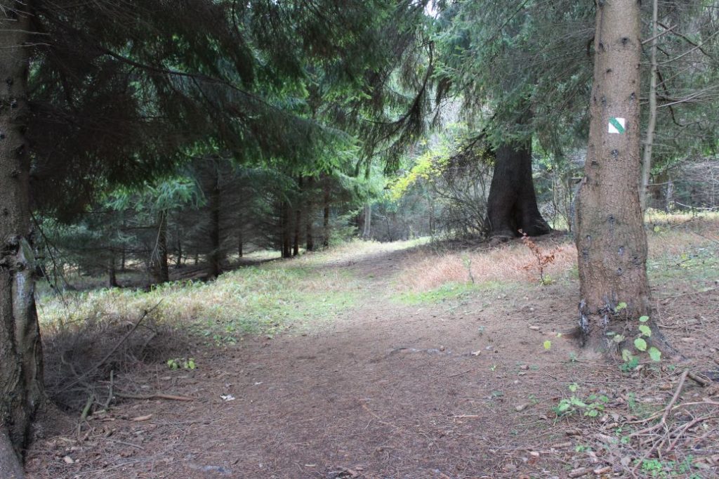
– Along the entire route, the trail is marked with green marking of an educational trail (a white square with a diagonal green line inside). At some places, you need to pay increased attention, as the marks are not always easy to spot, especially through tall grass.
– As the trail runs mostly on forest roads and wood paths, it is also suitable for the youngest visitors. Children from the age of 3 should be able to complete the route with minimal assistance from their parents.
– Along the trail, you will find places with benches, where you can rest.
– There are two places on the trail with a shelter and a fireplace for barbecues.
– In the woods, behave in the way that will not disturb its inhabitants, do not damage anything, do not pick anything or leave anything in the woods.
– The only sections of the trail with some level of risk are the downhill sections, where you could slip.
– Some sections of the trail might be waterlogged, muddy and slippery after the rain.
– The educational trail was created by the Urbarial Land Community of Likavka.
Transport:
By car: In the vicinity of the Likavka Tourist-Information Office, there is a parking area for the visitors to the Likava Castle, or there is a car park at a nearby shepherd’s hut, Koliba Likava, where you may park your car.
On foot: From the centre of the town, it is approximately a 40 minute walk to the beginning of the route along the red-marked hiking trail.
By train: From the train station in Ružomberok, it is approximately a 40 minute walk to the beginning of the route along the red-marked hiking trail.
By bus: You can ride a bus from the bus station in Ružomberok to bus stop “Likavka,,hrad”, from where it is approximately a 3 minute walk to the beginning of the route.
By taxi: Taxi from the centre of the town will cost you about 5€.

