Stredná Revúca - Sedlo pod Čiernym Kameňom (Notch below Čierny Kameň)
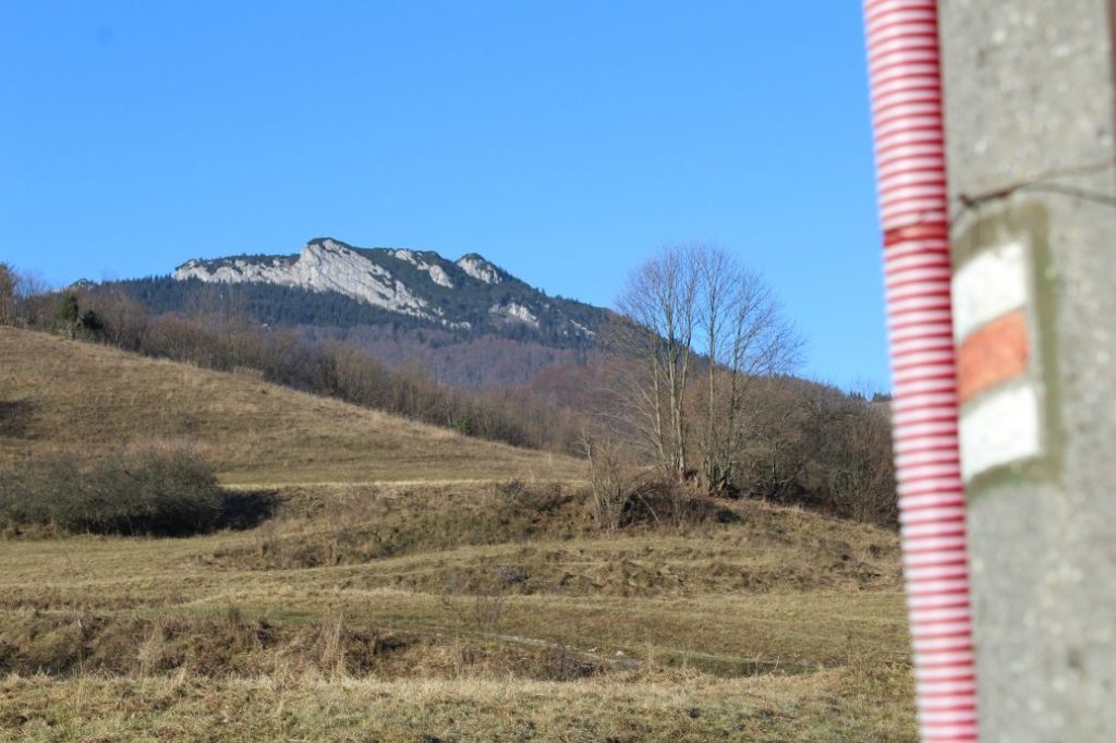
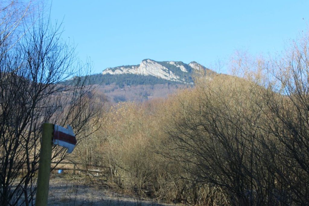
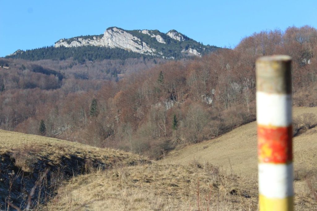
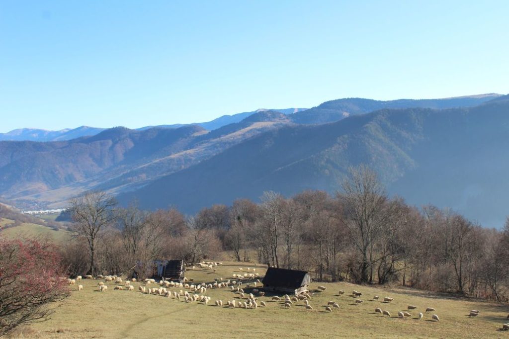
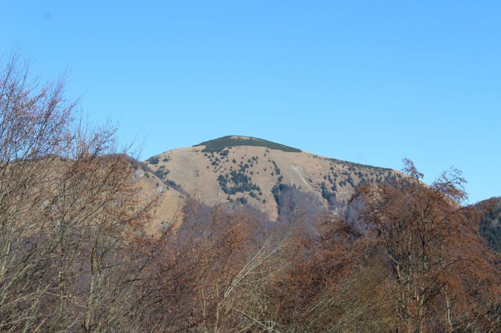
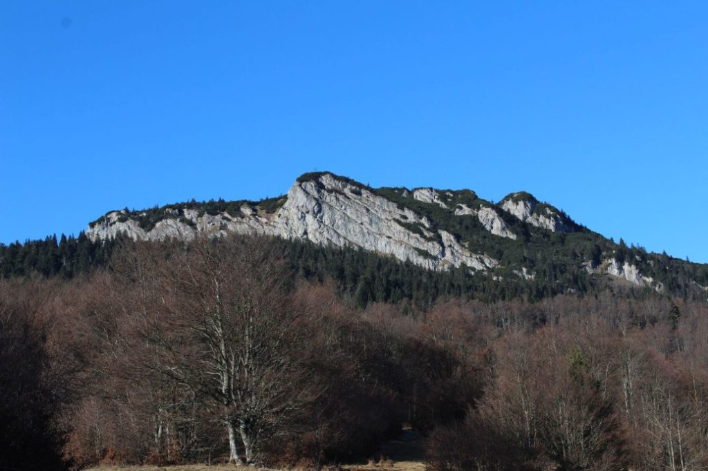
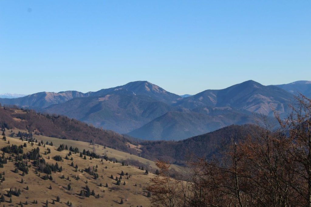
The trail runs from Stredné Revúce, through foothill meadows and mountain meadows, through wooded areas and gardens, to the ridge of the Great Fatra. The route offers views of the surroundings and of the rocky cliff of Čierny Kameň. It runs on meadows and pastures, which are still used for sheep grazing. This trail ends in notch Sedlo pod Čiernym Kameňom, where it connects to a trail running through the ridge of the Great Fatra.
Number of the route: 0858 (1st part)
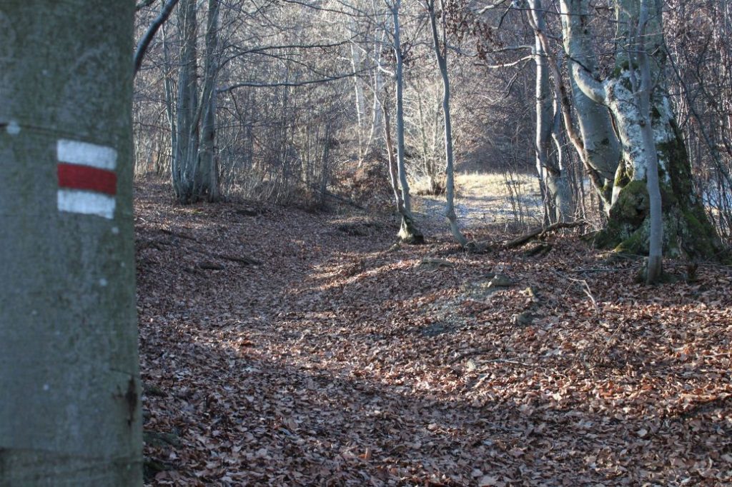
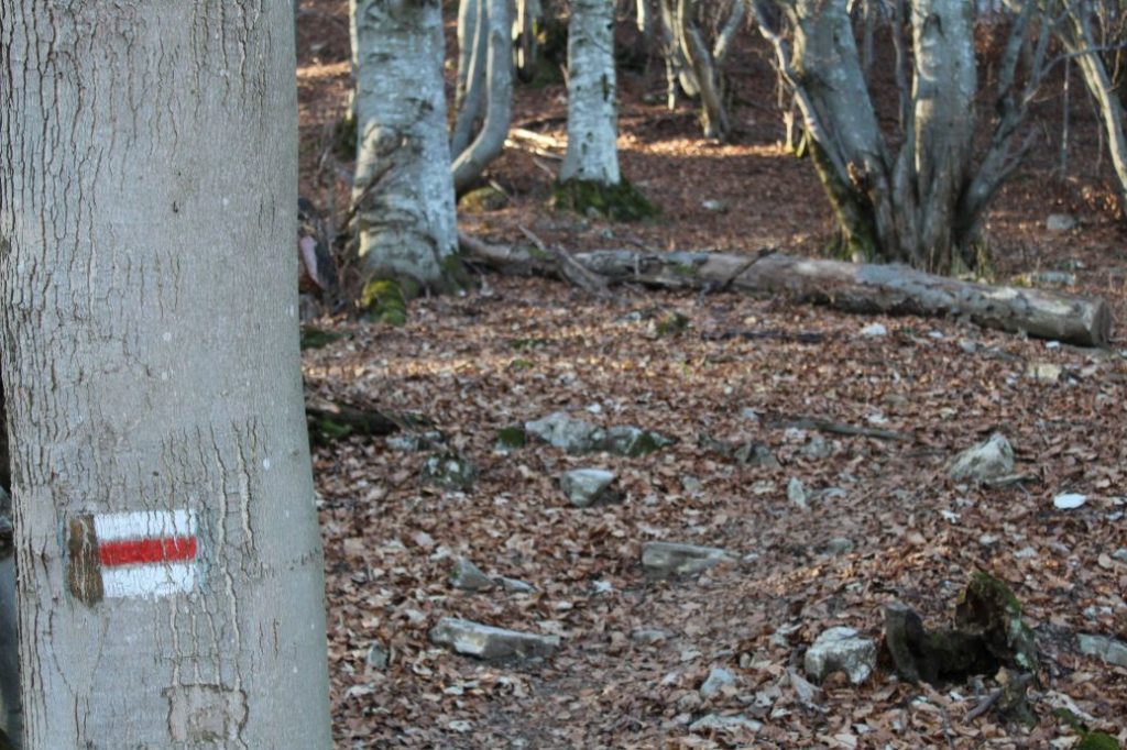
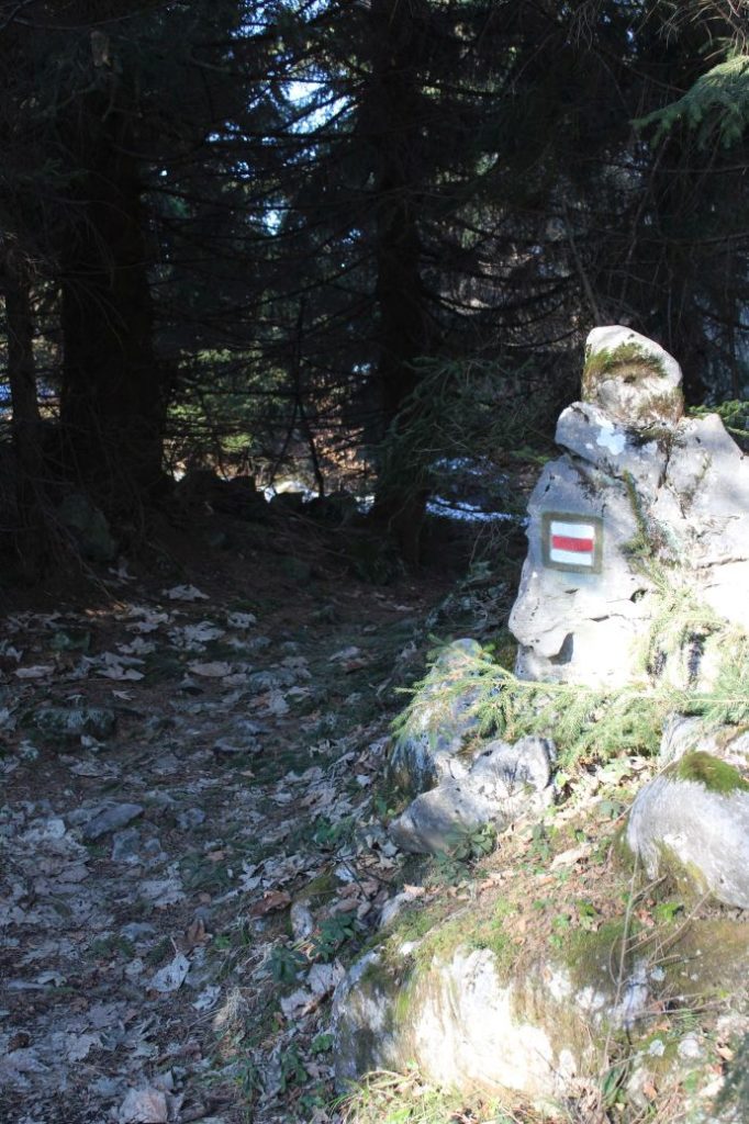
Colour: Red
Length of the route: 4.7 km
Vertical distance: Ascent: approx. 605 m / Descent: 15 m
Time of completion: 2:00 hours
Reference points for orientation:
1. Stredná Revúca (bus, 679 m)
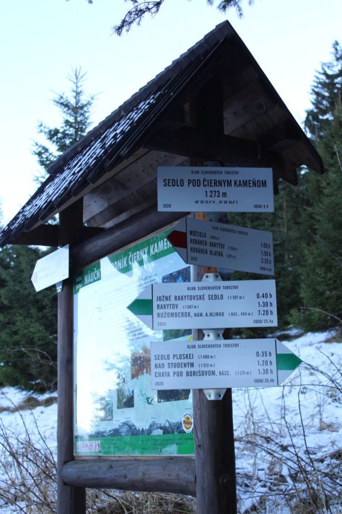
2. Sedlo pod Čiernym Kameňom (notch) 1273 m
Route description:
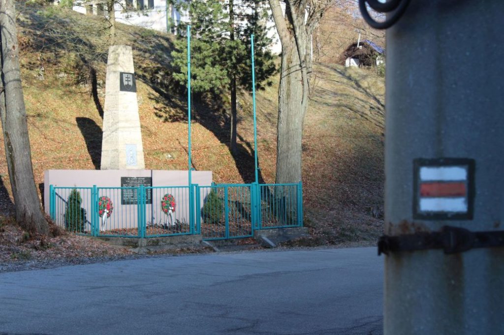
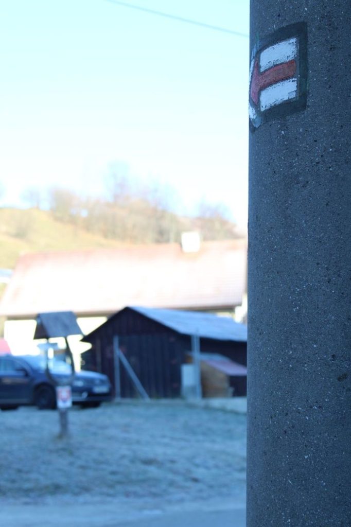
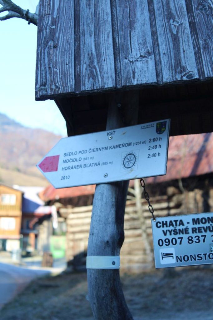
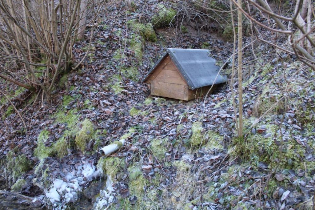
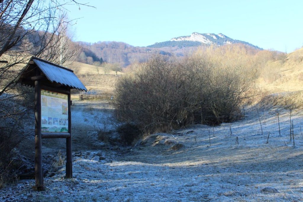
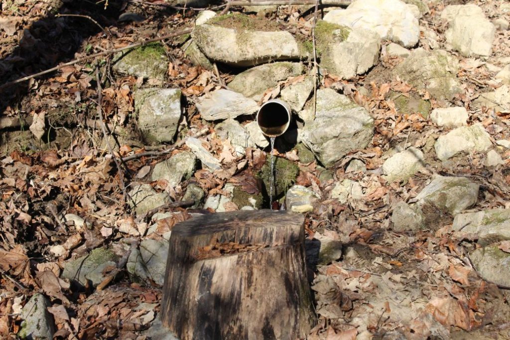
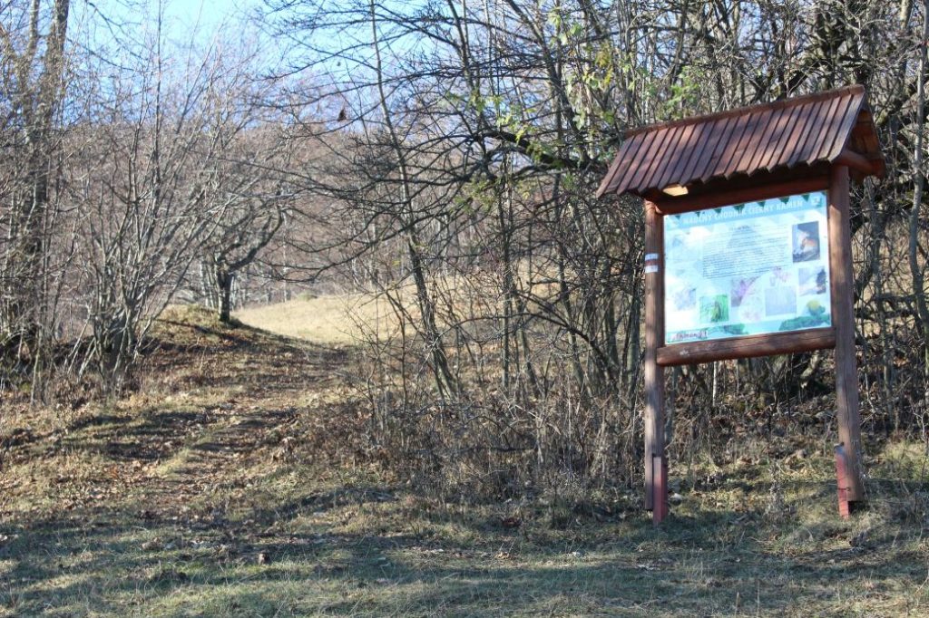
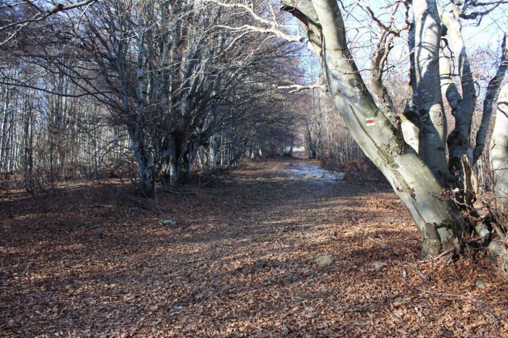
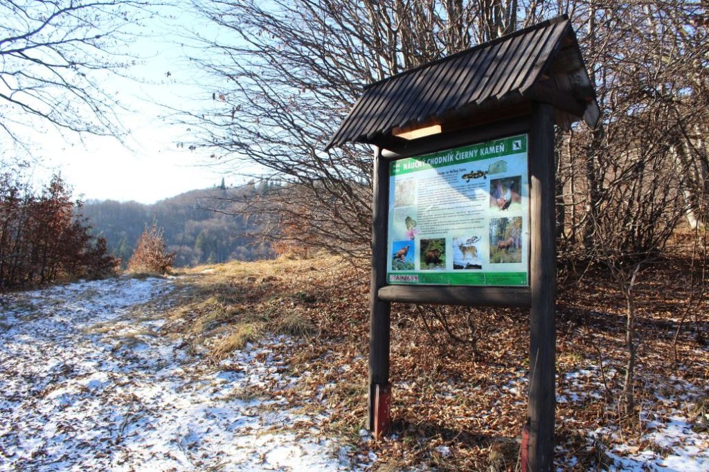
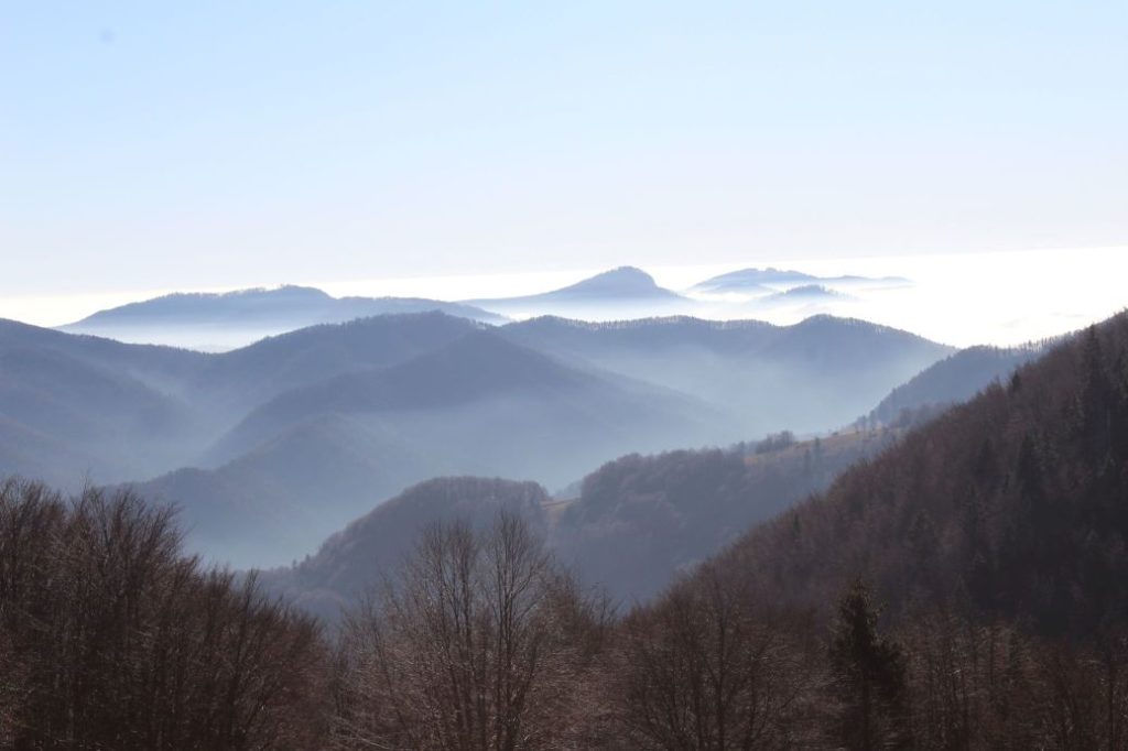
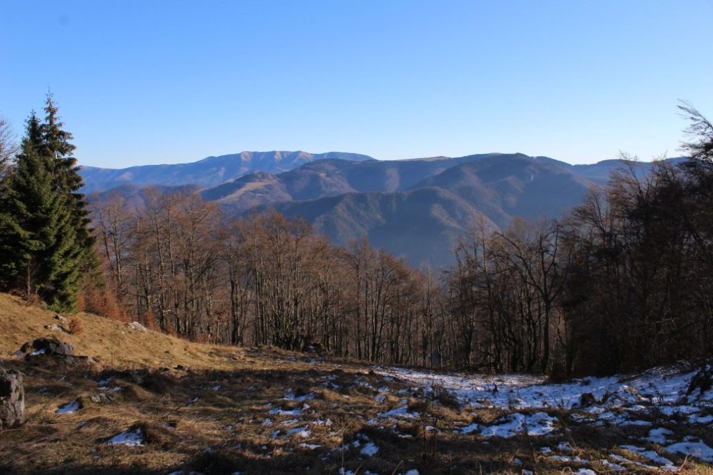
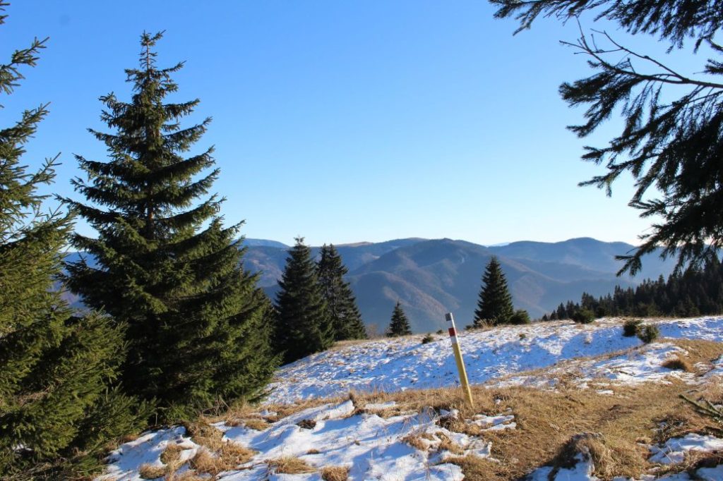
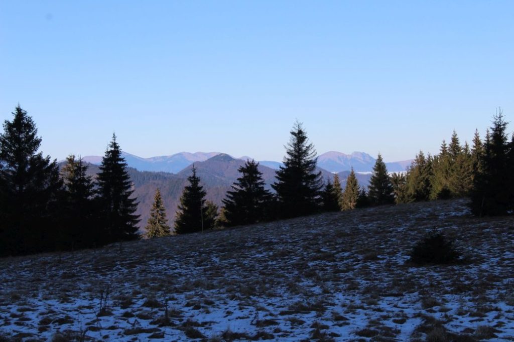
The route begins in Liptovské Revúce, in district Stredná Revúca, by bus stop “Lipt.Revúce,Stredná Revúca,pož.zbr.“. There is no orientation point with a direction sign at the beginning, it is located a bit further ahead, by the church. From the bus stop, we are guided by the red hiking marks, in the direction back to the beginning of the village. The route passes by a memorial to the victims of the Slovak National Uprising, and a few metres away, it turns to the left, to a side street. We can now see the orientation point with a direction sign. From this place onward, we will get alternating views of the rocky cliffs of Čierny Kameň, to the foot of which the route is leading us. The route passes by a roofed staircase, which leads to a church situated on a small hill, below the cemetery and to the end of the street, where you will see a hikers’ map in front of the last house. We will by-pass the house from the right, in between the houses. Behind the houses, there is a panel of an educational trail, near which you might notice a well with mineral water situated behind a creek. This place is an official camp-site serving for overnight visitors in the Great Fatra National Park. The trail runs through the creek and continues along the creek, mildly uphill. Gradually, the trail moves farther from the creek, but before entering the woods, it returns to the creek again. At the beginning of the woods, the route crosses the creek and continues along the creek for about 200 metres. The creek turns to the left, but the route continues to the right. There is a spring surfacing a few metres farther uphill, which makes the path waterlogged and muddy. The path leads us to meadows with a sheep farm, which is still in use. A helpful reference point is another panel, which is visible from a distance. The route passes by the panel and continues through alternating sections of meadows and gardens, to a wooded area with the steepest uphill section on the route. This is the place with the highest risk of slipping, as the surface is often waterlogged and muddy. After the short, steep section, the ascent becomes milder again, and the meadows in this area reveal views of the Low Tatras and of the dominant peak of Rakytov. After passing by the third panel of the educational trail, we get views in the direction of rock Majerova Skala. The trail continues along the periphery of the meadow and enters a wooded area again, which it exits onto large meadows situated on the ridge of the Great Fatra. The route ends by the signpost in notch Sedlo pod Čiernym Kameňom (Notch below Čierny Kameň), where you will also find an educational panel about the National Nature Reserve of Čierny Kameň. There are hiking trails crossing each other here. The red one from Liptovské Revúce continues to the Ľubochnianska Valley, this section is, however, described at a different place, and the green one runs along the ridge of the Great Fatra, from Ružomberok to the village of Belá – Dulice. There is a spring surfacing a few metres away from the end of the route, which is collected into a wooden conduit near the trail, for easier use by the visitors. There is also a new view in the direction of the Small Fatra, which is partially covered by growth.
Safety:
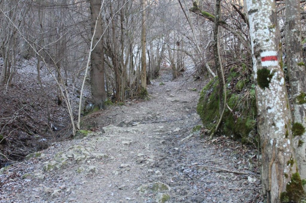
Majority of the route runs on safe terrain, mostly on paths through woods and fields. At some places, the trail is muddy and slippery, even in dry weather. The risk of slipping is the highest at approximately the midpoint of the route, in a small wooded area, where the terrain is steep and slippery.
Marking on the route:
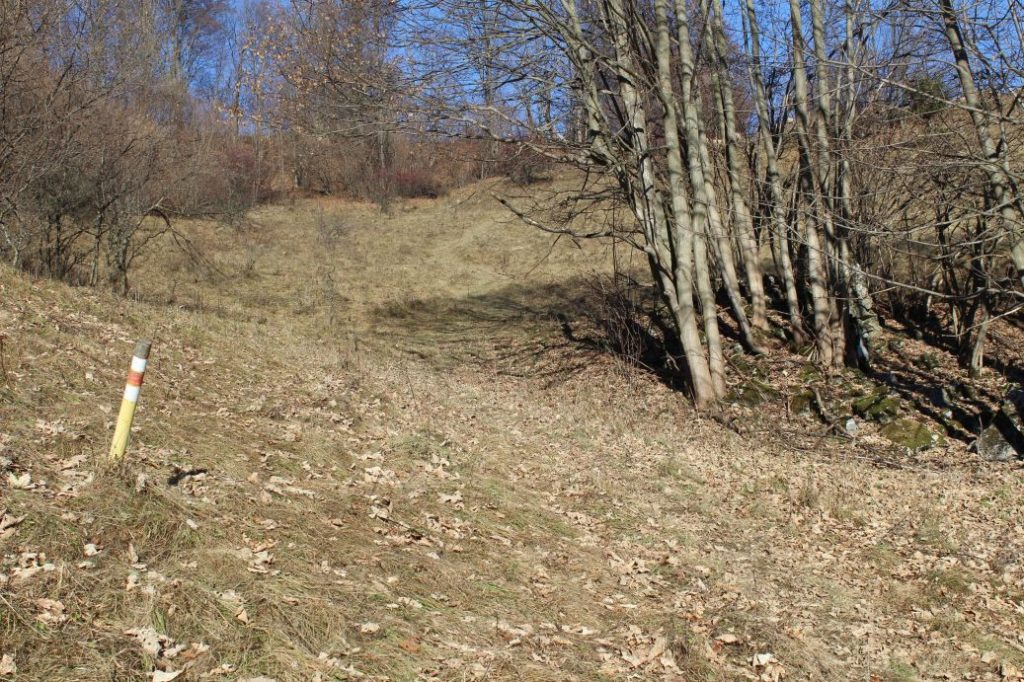
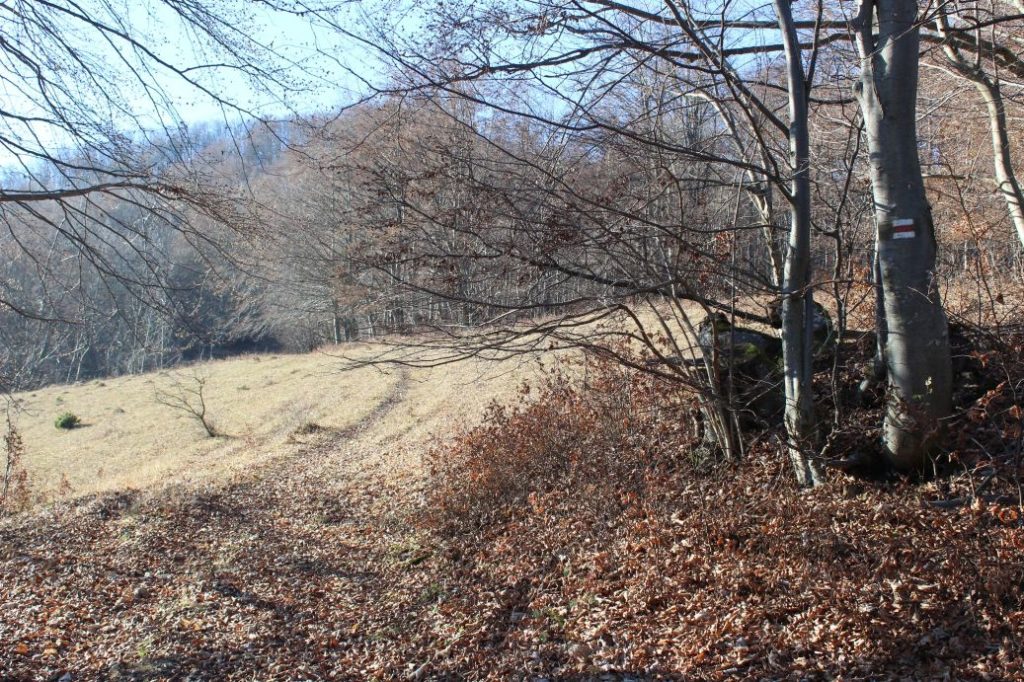
The marking on the route is sporadic, but sufficient for the most part, with small posts located in the meadow sections. The marking is less visible in spring and summer, when the marks are covered with grass or wild growth. Therefore, you need to pay extra attention at times and look for the marks on trees, rocks or bushes.
Notes:
– Walking the route back (descent) takes approximately 1:25 hours.
– Along the route, there are four information panels of the educational trail “Čierny Kameň”.
– The trail is used all year round, however, you need to take into account that it is a lot more difficult to navigate and move in the terrain covered with snow.
– At the bus stop situated at the beginning of the route, there is a hikers’ map and an educational panel about the history of the village.
– At the beginning of the route, there is a grocery store and a refreshment establishment.
– At some places, the trail is muddy and slippery, even in dry weather.
– In 2020, the trail was cleaned up and the obstacles extending onto the trail were sawn up and removed.
– There are often sheep from the sheep farm moving on the trail, you need to walk past them slowly and peacefully.
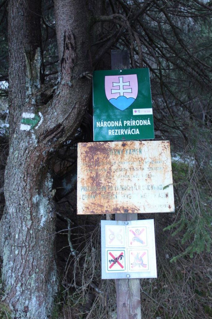
– The trail enters the territory of the Great Fatra National Park, therefore you must observe its rules for the visitors.
The route was reviewed in November 2020.

