Biely Potok - Vlkolínec - Hrabovo
The trail serves as an access route to the folk architecture reserve of Vlkolínec, which is included in the UNESCO List of World Cultural Heritage. The first part of the trail leads the visitors from the bus stop at Biely Potok and the second part from the recreational area of Hrabovo.
Number of the route: 8613
Colour: Yellow
Length of the route: 7.2 km
Vertical distance: Ascent: approx. 450 m
Time of completion: 2:10 hours
Reference points for orientation:
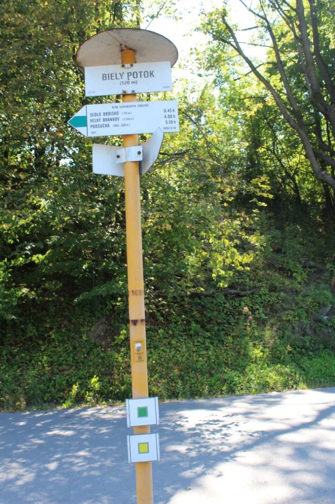
1. Biely Potok 520 m
2. Vlkolínec 721 m
3. Sedlo pod Sidorovom (notch) 865 m
4. Vlkolínske lúky (Vlkolínec meadows) 819 m
5. Za Kalváriou (behind Calvary), intersection 623 m
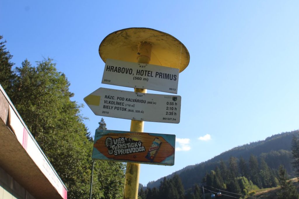
6. Hrabovo, Hotel Primus 560 m
Route description:
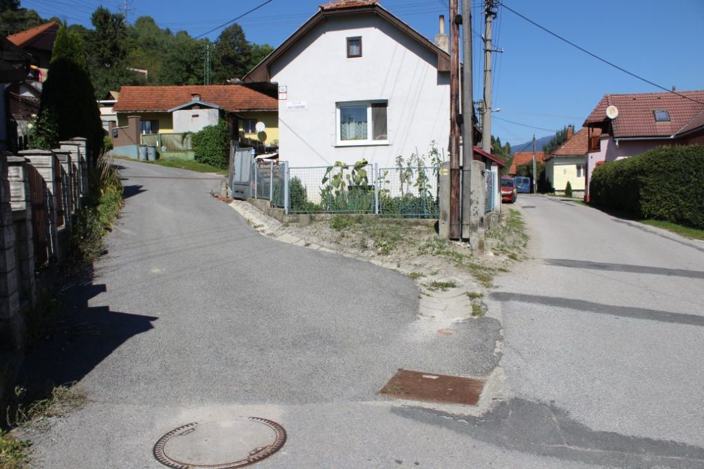
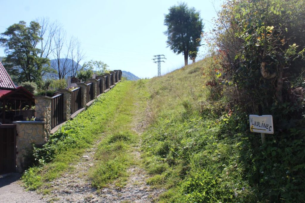
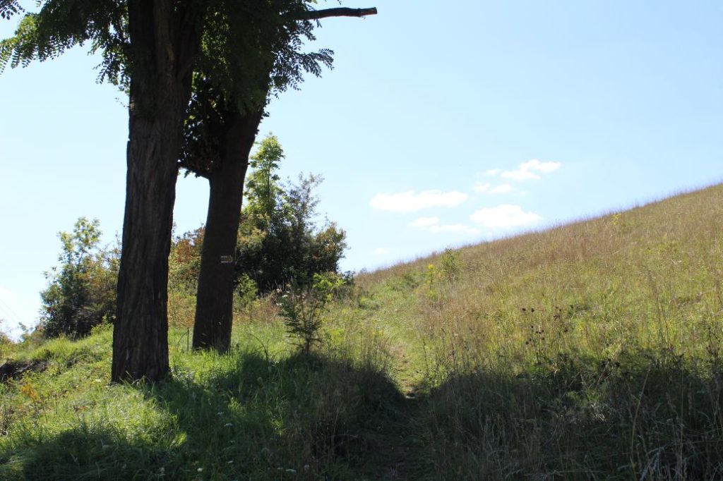
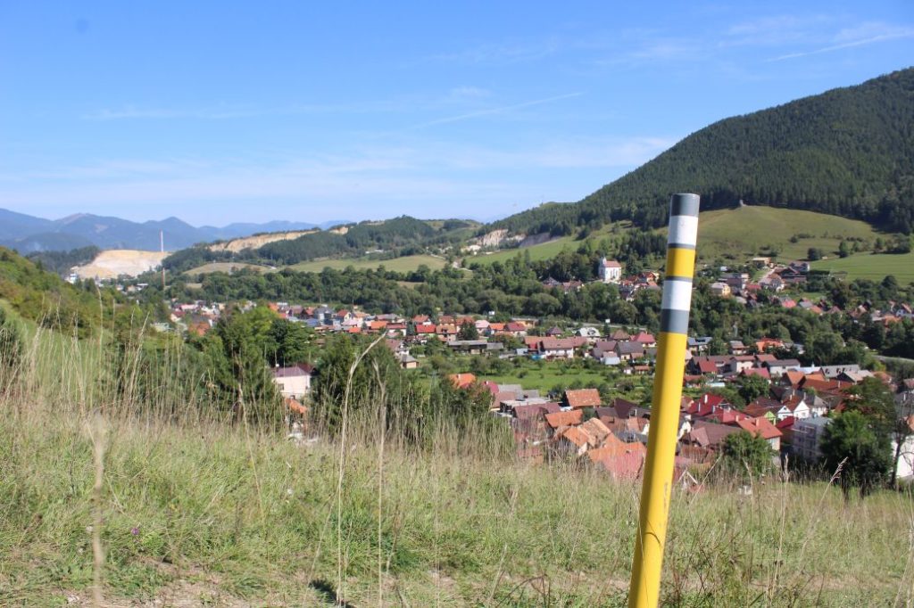
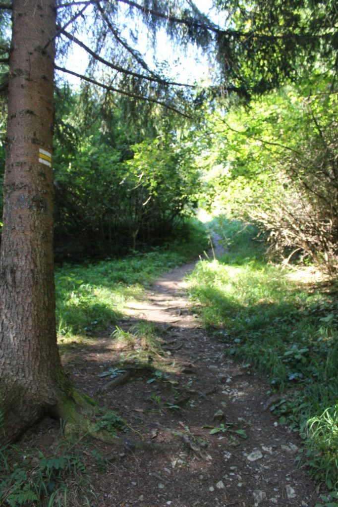
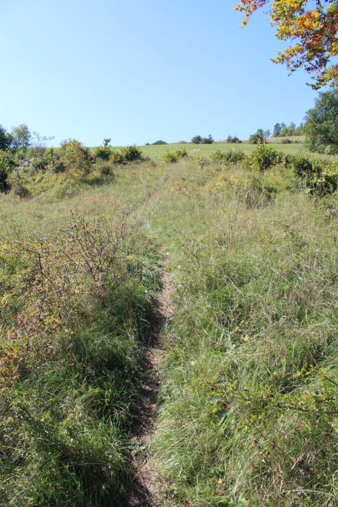
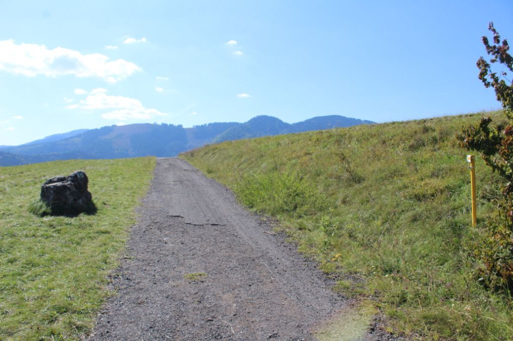
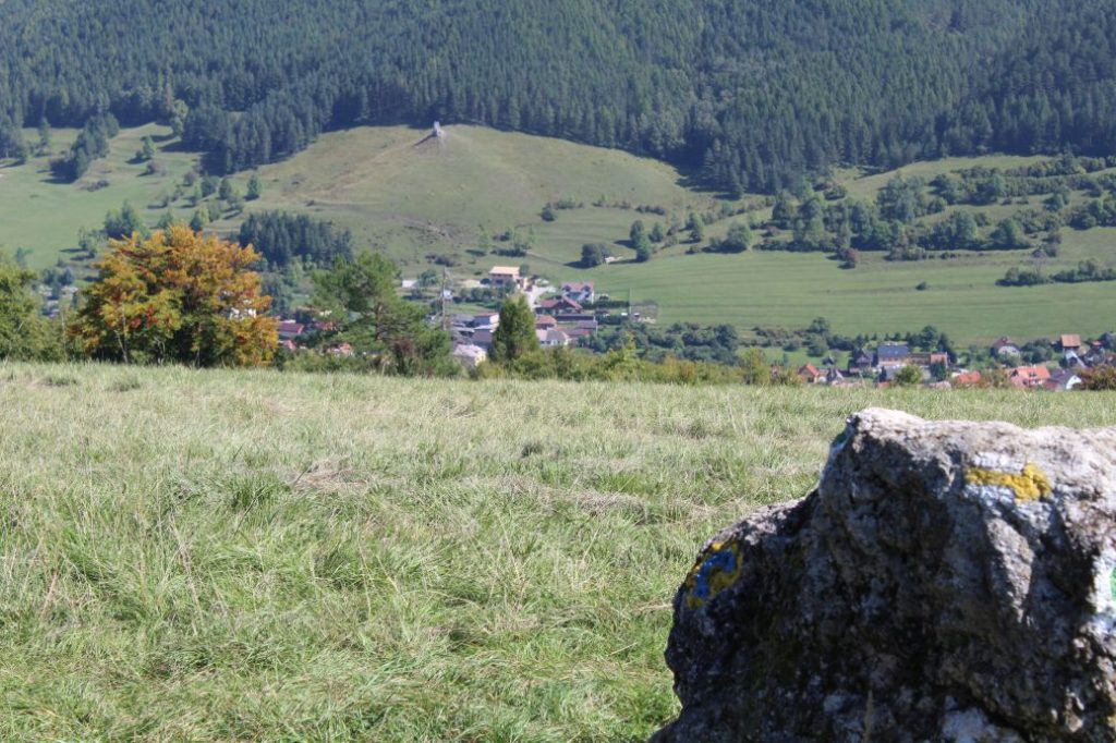
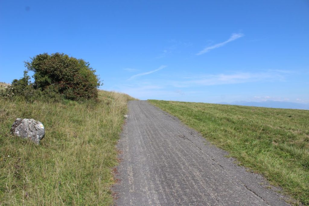
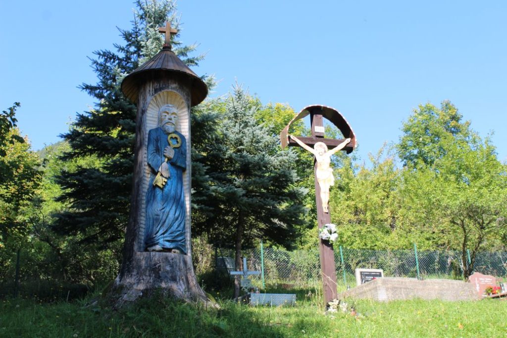
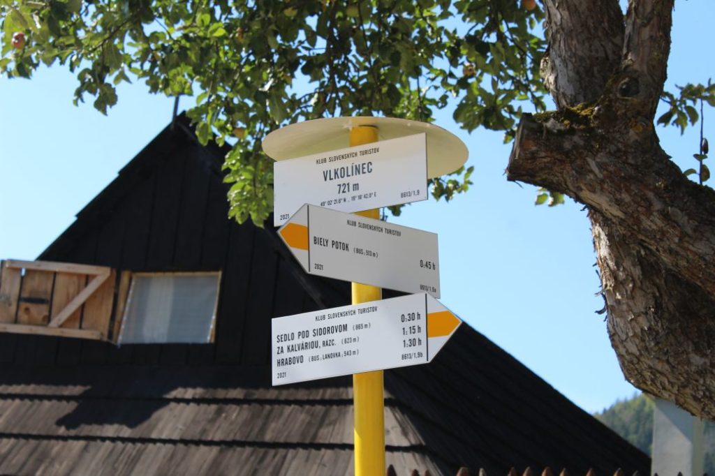
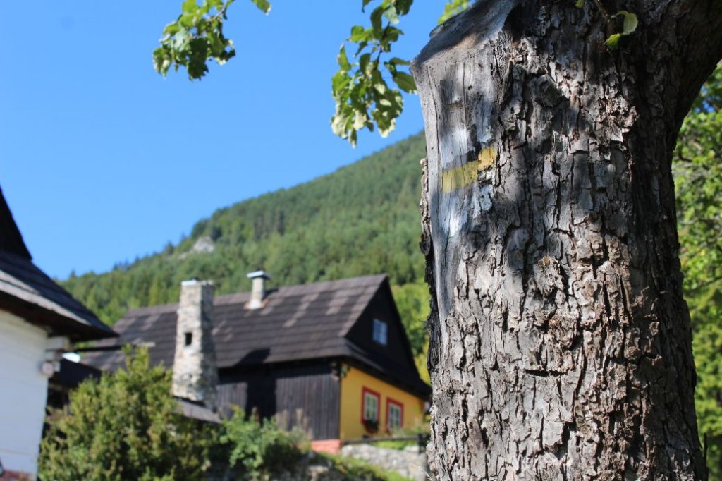
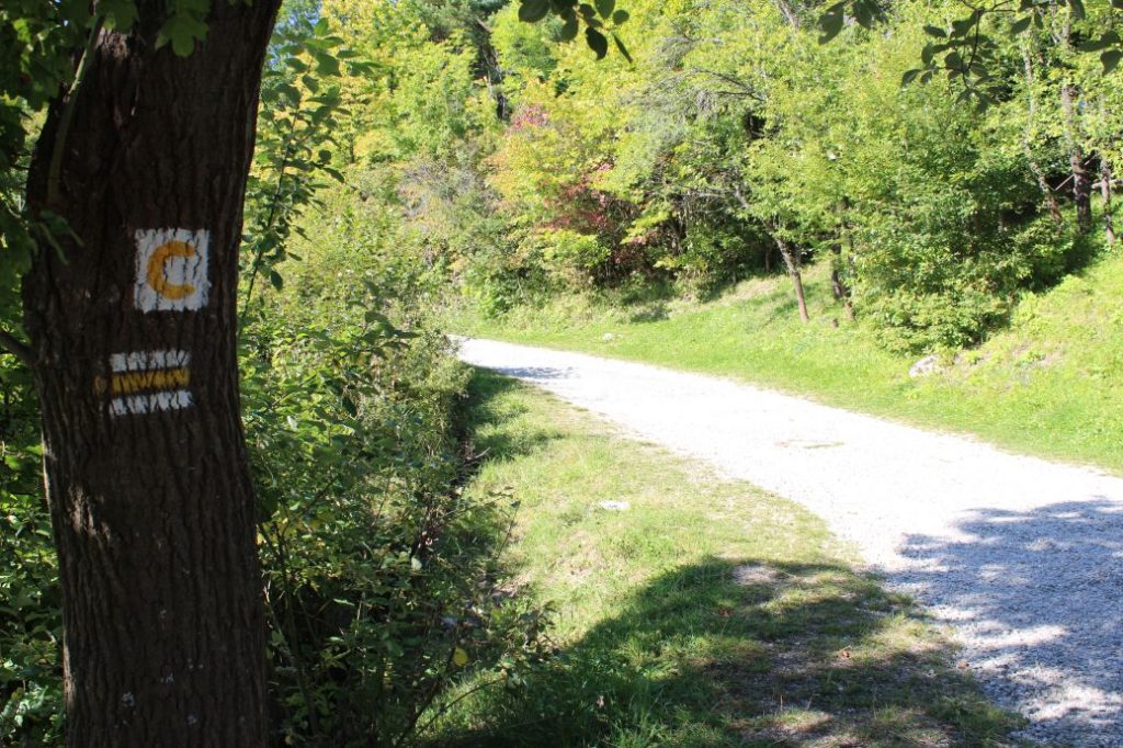
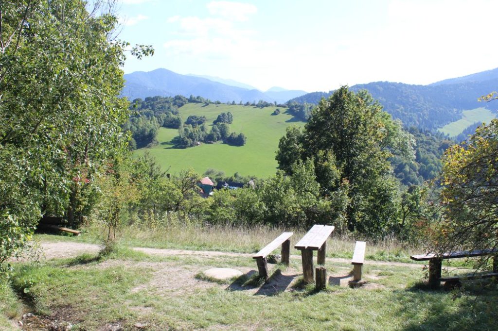
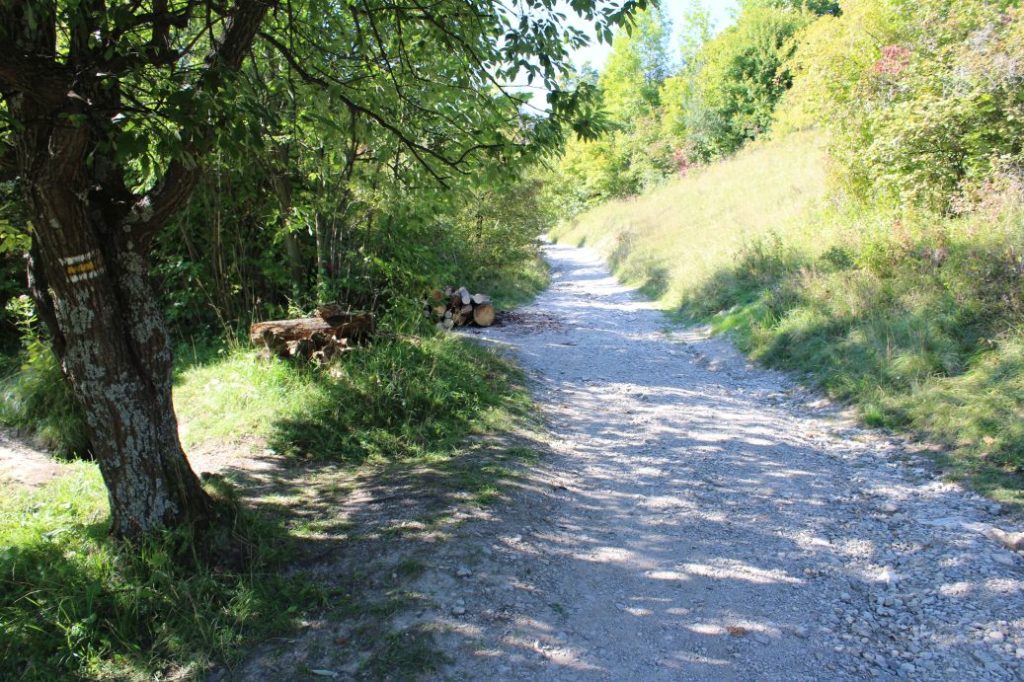
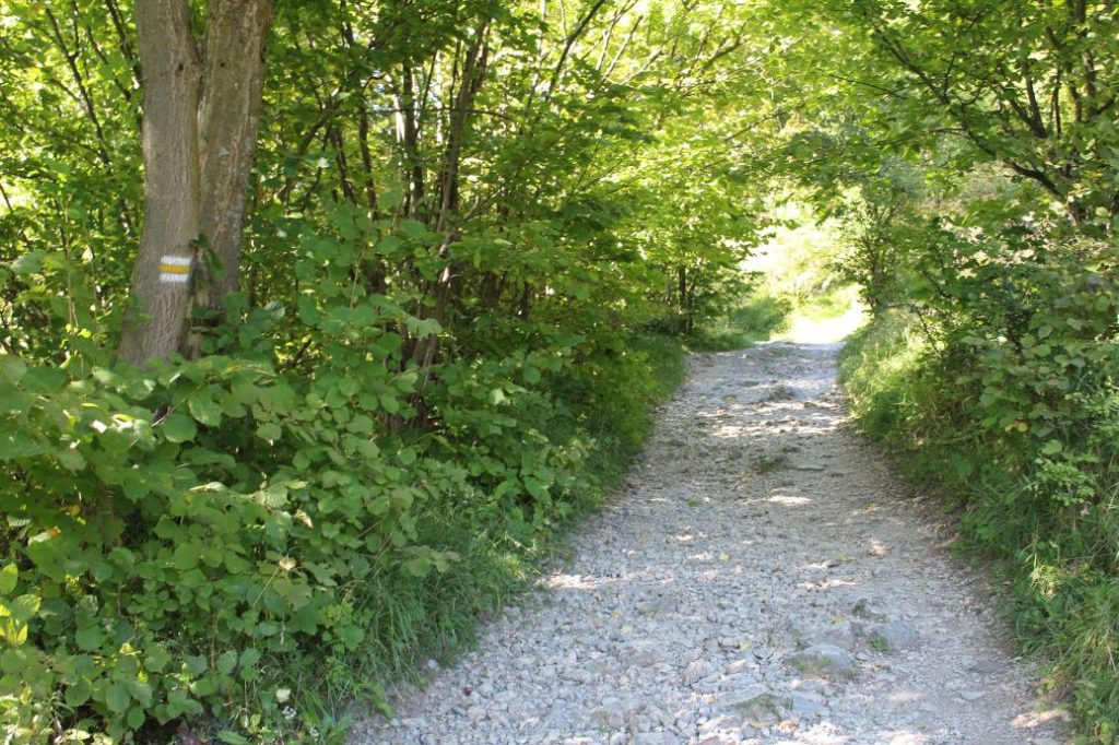
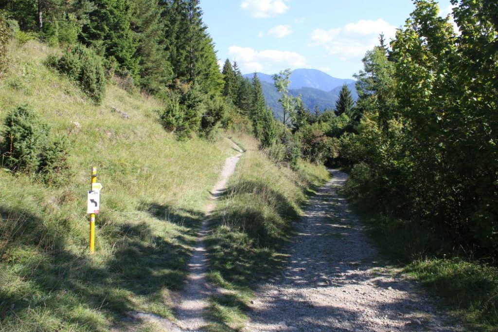
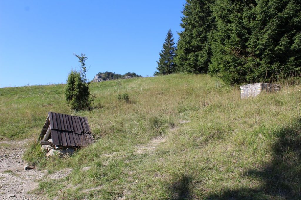
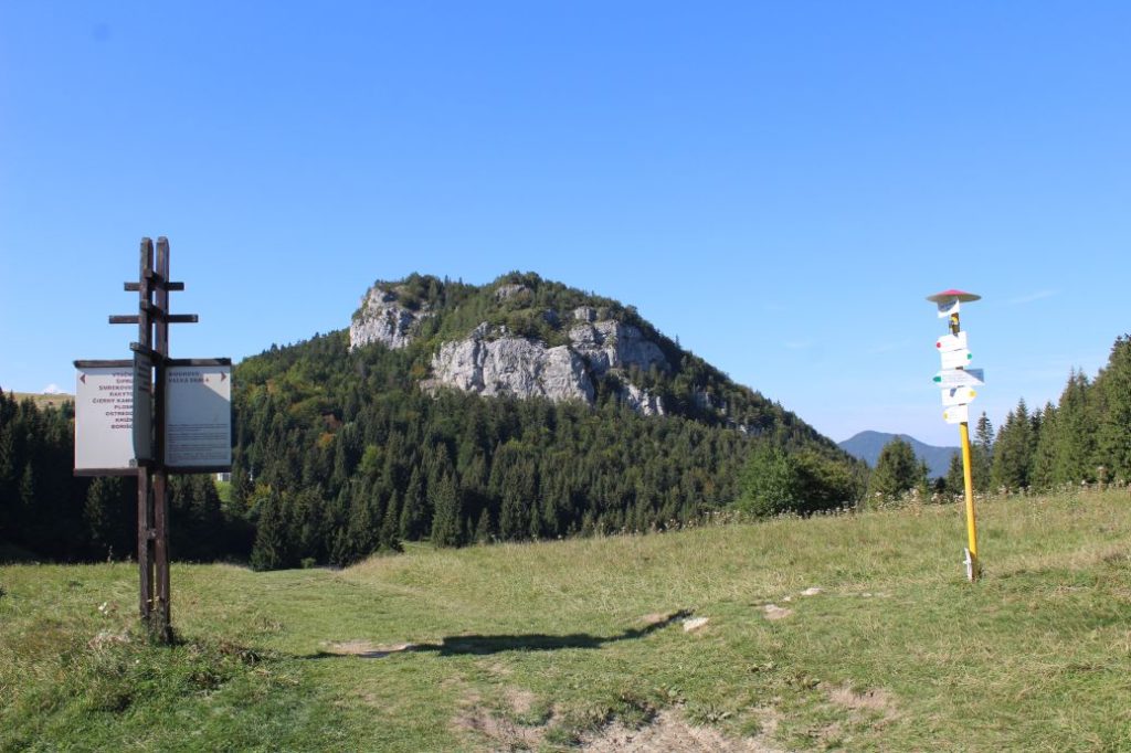
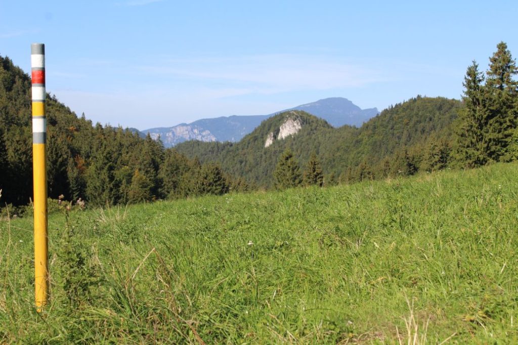
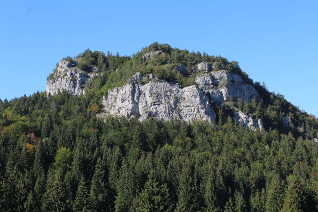
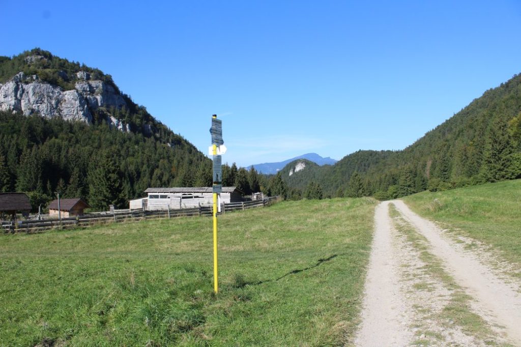
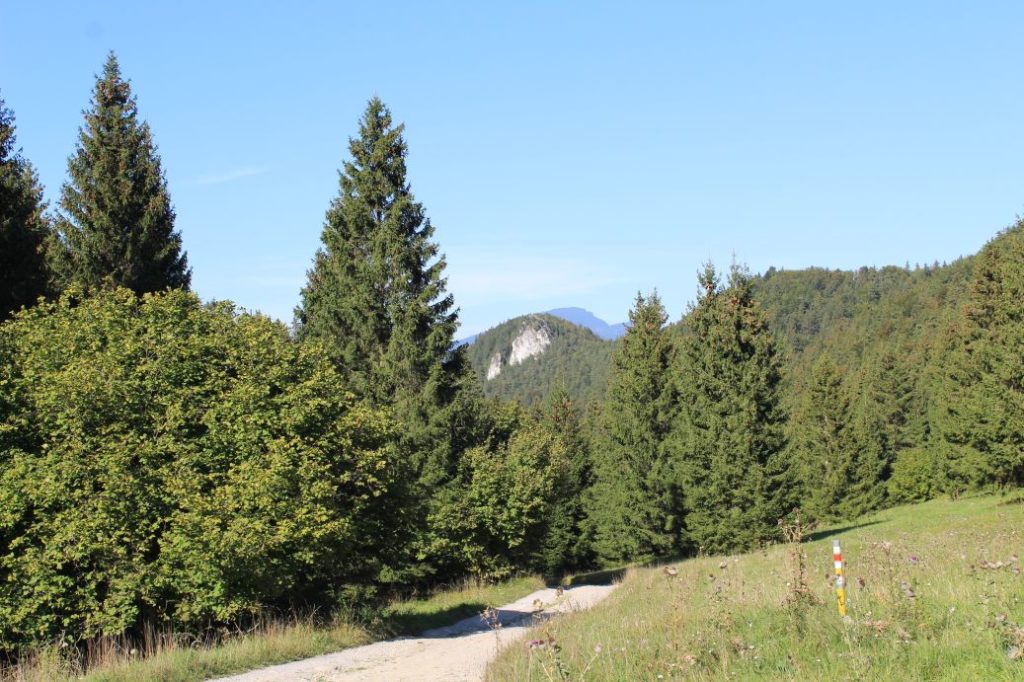
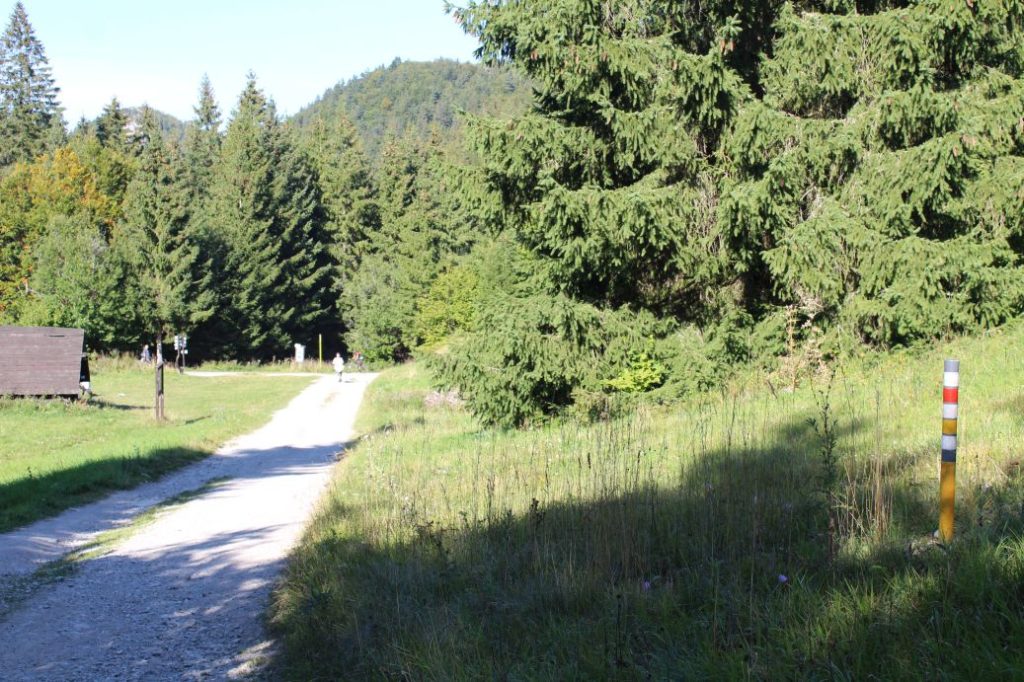
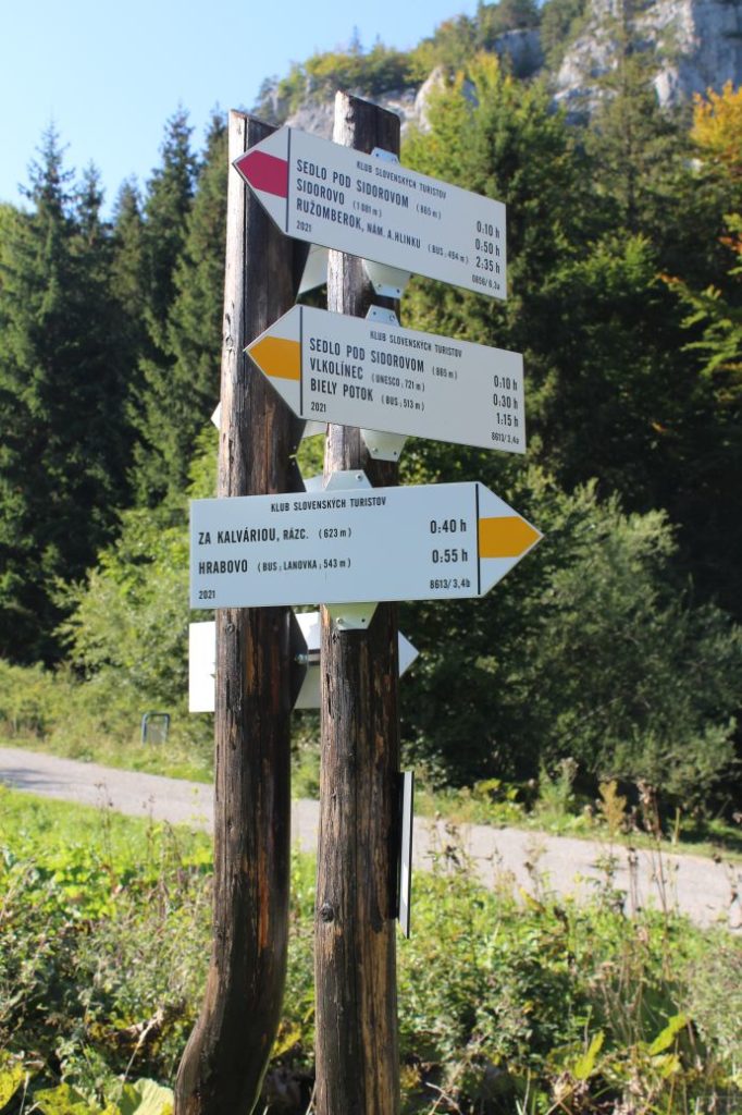
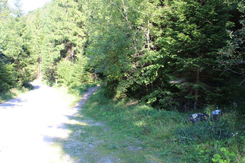
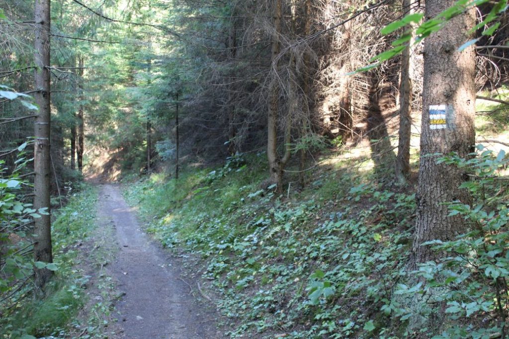
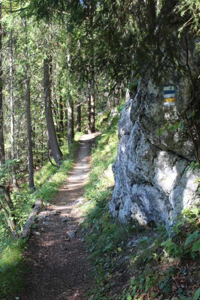
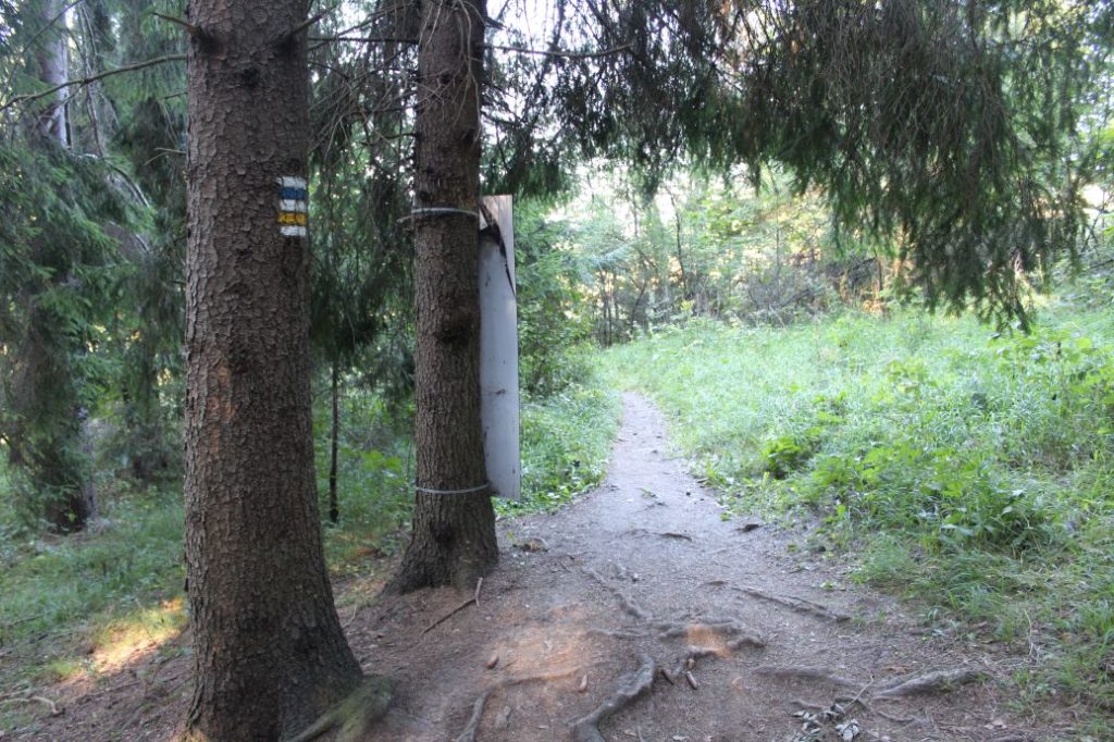
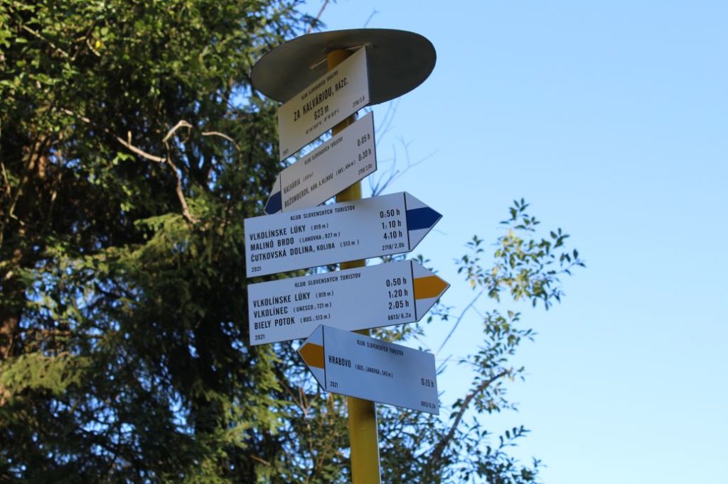
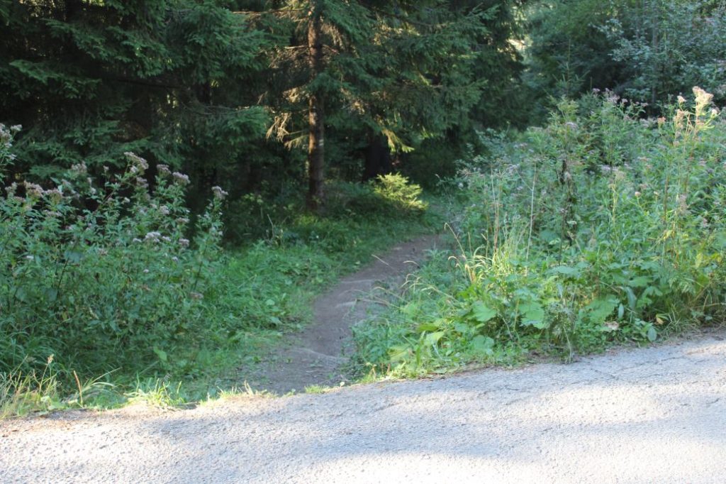
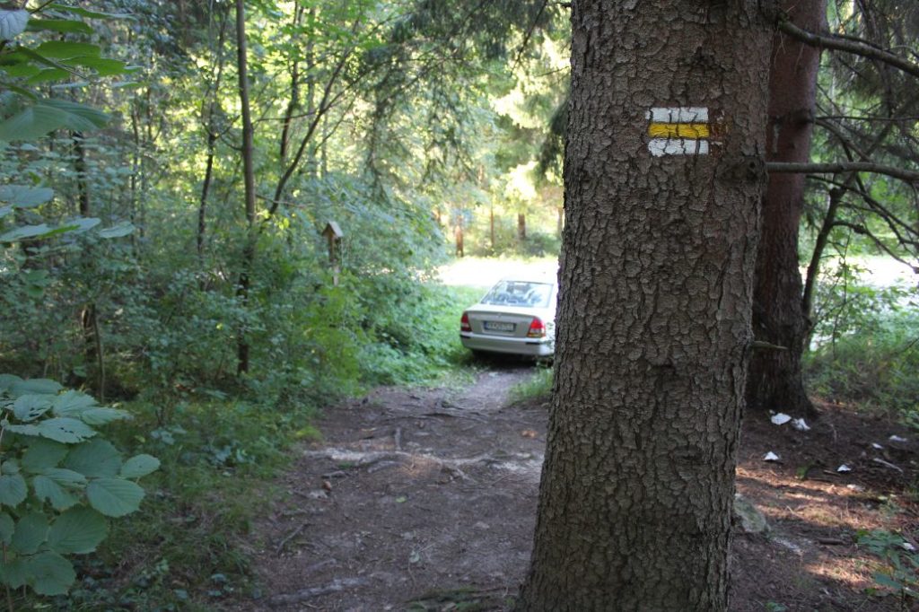
The route begins in Ružomberok’s suburban area Biely Potok, by bus stop “Ružomberok,Biely Potok,pri moste“ / local public transport bus stop ”Pri moste“. Right at the beginning, the route crosses the bridge over the Revúca River, and continues straight ahead on the side walk by the road. In the middle of the street, we are passing by a SNU memorial and an educational panel of a thematic educational bike trail called “Cyklokorytnička”. At the end of the street, the route turns to the right, and then, after a few metres, to the left, to a street running uphill. After passing by the last house on the left side, the route gets off the asphalt road to the left, to a small path behind the fence, where we see a sheet metal plate with an arrow, which reads “Vlkolínec”. The path runs uphill towards two trees with a yellow mark confirming our route. The path arrives at the ridge and turns towards a wooded area, directly along the ridge. When looking back, we get the first views, for instance of a rock sticking out from the top of a small hill behind the church, and of Great Choč at the north. A small yellow post by the path reassures us that we are on the correct path running towards the woods. At the beginning of the woods, we can look back to see a new addition to our view, the West Tatras and another part of the Choč Mountains. In the woods, the path runs directly uphill, in a narrow line without trees, and it arrives at a small meadow. Here, we need to continue directly uphill to the periphery of the meadow and follow the path running to the left. After a short while, the path curves to the right and continues mildly uphill to the periphery of the meadow at the foot of Sidorovo hill. (Sidorovo is visible already at the beginning of the route.) The route through the meadow runs slightly to the left, to a paved road. It connects to the road almost at its highest point, by a rock next to the road painted with hiking trail and bike trail marks. This is the place with perhaps the most beautiful views of the entire route. The view includes the Choč Mountains with the dominant peak of Great Choč, the West Tatras, Kriváň situated in the High Tatras, Siná in the Low Tatras, Borovnisko, Ostrô, Brankov, Červená Magura, a part of Salatín, the Liptov Basin, as well as some of the peaks in the Great Fatra. Simultaneously with a bike trail, our route continues to the left, on a road running mildly downhill, to Vlkolínec. Below the road, at the periphery of the meadows, there are Vlkolínec stalls (small wooden hay barns), which complete the colouring of the landscape. Above the road, at the top of Sidorovo, you can see the glistening metal handrails of the viewpoint terrace. The route enters Vlkolínec by the cemetery, where you will find an educational panel. At the end of the cemetery, there is a church welcoming the visitors with a commemorative plaque on its side wall. A small street running in front of a former school building, currently a gallery, leads us mildly uphill past wooden houses, to the central part of Vlkolínec with a hiking signpost. Situated by the signpost are the most significant buildings of Vlkolínec, the wooden bell tower and the well. On the side of a small house, you will see a commemorative plaque of the SNU. Simultaneously with a yellow-marked bike trail, the route continues up the street by the creek regulated into wooden conduits. Right at the beginning of the uphill section, there is a visitors’ centre called “UNESCO Vlkolínec House”, where you can buy souvenirs or ask about Vlkolínec. Above Vlkolínec, the route continues on a gravel road, at first mildly uphill and then steeply uphill, with occasional sections of broken-up road made of rocks and debris. After the steep uphill section, a green-marked hiking trail connects to the route. As the path continues, it passes by a well, which is often without water, and by a wooden shelter with a sitting area and an educational panel situated by the shelter. Situated on a meadow behind the shelter is a hiking signpost titled “Sedlo pod Sidorovom“ (notch below Sidorovo). In the notch, we reach the highest point of the route, and with a few small exceptions, the route will run mildly downhill all the way to our destination. In the vicinity of the notch, our view will also include the Low Tatra ridge with peak Prašivá and peak Kozí Chrbát at the south, as well as the rocky cliff of Halín at the north. The green hiking trail will be replaced with a red trail, along which we continue downhill to a small post with bike marks, located by the paved road. On the way down, when looking to the north, we can see Great Choč with the rocky wall of Sokol situated to the left of Great Choč, and cliff Veľká Skala on the ridge of Sidorovo. The yellow bike trail ends at the post, and joining our route for a short section is a blue-marked bike trail running downhill to Ružomberok (to the right). The route arrives at a wooden shelter with an educational panel and a signpost titled “Vlkolínske lúky”. At this place, the route leaves all the accompanying trails and together with the blue-marked hiking trail, it continues a few metres downhill on an asphalt road and then it turns to a path above the road, to the right. The path continues parallel with the road through a wooded area, running mildly downhill all the way to the periphery of the woods above the Calvary. In this section, there is a one-way bike trail (Single trail “Rozprávkové Enduro”) running in the uphill direction, therefore pay attention to any cyclists you might pass by on this narrow path cut into the slope, which includes some steep sections. At the periphery of the woods, you need to turn left to an asphalt road and a signpost, where the blue hiking trail disconnects from the route. From the signpost, continue a few metres in the direction into the woods and then down the trodden path leading us below the road. The path splits up. One branch runs outside of the periphery of the wooded area and the other runs through the periphery of the wooded area. Both branches have marking, so it is up to the visitor, which one they choose. Both paths run down to an asphalt road, which continues mildly downhill to the left, passing by the cabins. At the end of the road, approximately 20 metres away from the parking lot to which the route runs down to, it turns right to the signpost in Hrabovo. Here, at local public transport bus stop “Hrabovo, konečná“, the route ends.
Safety:
The route runs through steep sections, which are dangerous especially on the way down. In damp weather, the route is slippery. There are cyclists passing through on a large section of the route. The section from Biely Potok to notch Sedlo pod Sidorovom is not suitable for small children under the age of 5.
Marking on the route:
The marking on the route is insufficient. In several sections, it is poorly visible, and even absent in critical places (intersections). At some places, marks are only present in one direction and you need to use the marks of the opposite direction for navigation. At some places, marking of the bike trails might be helpful. In winter, the marks are even less visible, but you can see the trodden trail in the snow, which makes orientation easier.
Notes:
– The trail is accessible all year round.
– Passing of the route in the opposite direction takes approximately 2:35 hours.
– The route is situated in the protected zone of the Low Tatras National Park.
– The route passes through the protected UNESCO territory of Vlkolínec and its protected zone.
– There are suburban buses as well as buses of the local public transport system running to the beginning of the route from Ružomberok.
– There are seasonal buses of the local public transport system running to the end of the route from Ružomberok.
– Situated near the beginning of the route is a grocery store, a refreshment establishment and an accommodation facility.
– Passing by the beginning of the route is a red-marked Donovaly cycling route.
– Passing by the beginning of the route is a thematic educational bike trail called CykloKorytnička.
– Marking in the opposite direction of the described route is less clear, especially in the section after Vlkolínec.
– In Vlkolínec, there are exhibitions and a restaurant.
– Vlkolínec has been included in the List of World Cultural Heritage since 1993.
– At the end of the route, you will find a cable car lift to the ski resort, a bike park, a restaurant, refreshment establishments, accommodation facilities, a climbing complex, and many other attractions.
– Collectable stickers, magnets, zero Euro banknotes and stamps of Vlkolínec are available in the Ružomberok’s Information Centre, as well as at the establishments in Vlkolínec.
The route was reviewed in September 2021.

