Partizánska Ľupča - Malý Salatín (Small Salatín) - Sedlo pod Malým Salatínom (Notch below Small Salatín)
A trail running from the village of Partizánska Ľupča, by a mofette spring through Liptovské Sliače, to peak Malý Salatín, connecting to the trail below Salatín. This route is one of the newer ones and it has been available to visitors only a few years. The new marked hiking trail provides access to peak Malý Salatín, as well as, along its route, to another part of the National Nature Reserve of Salatín.
Number of the route: 2702
Colour: Blue
Length of the route: 12 km
Vertical distance: Ascent: approx. 950 m
Time of completion: 4:00 hours
Reference points for orientation:
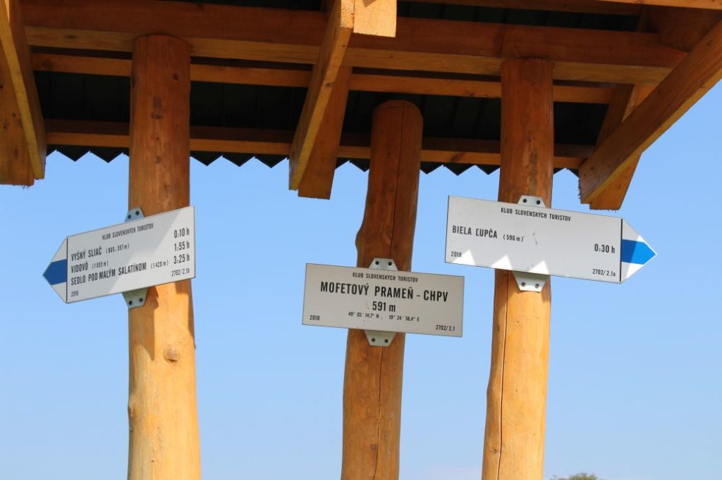
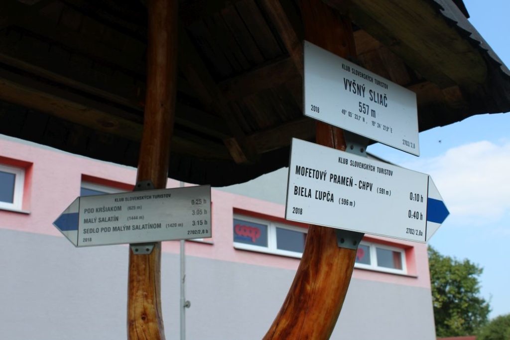
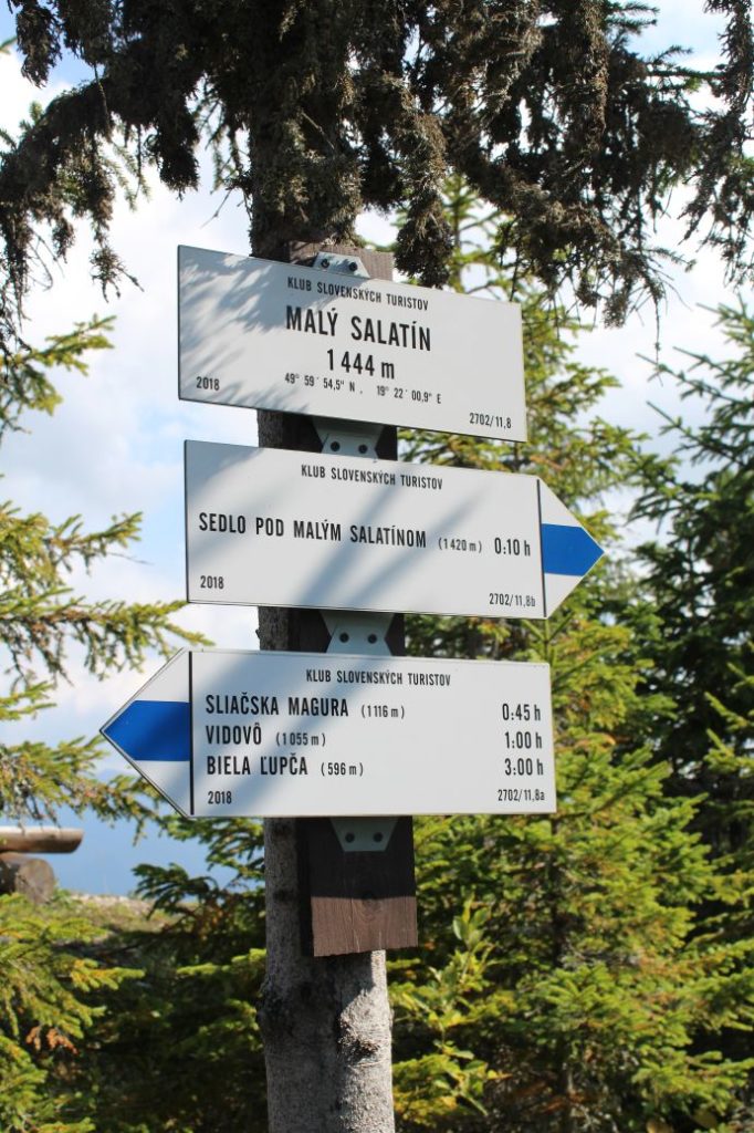
1. Biela Ľupča 596 m
2. Mofette spring – CHPV 591 m
3. Vyšný Sliač (Upper Sliač) 557
4. Pod Kršiakom (Below Kršiak) 625 m
5. Vidovô 1055 m
6. Sliačska Magura 1116 m
7. Malý Salatín (Small Salatín) 1444 m
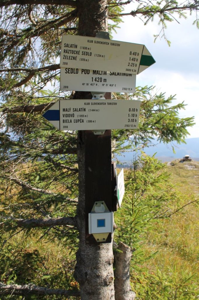
8. Sedlo pod Malým Salatínom (Notch below Malý Salatín) 1420 m
Route description:
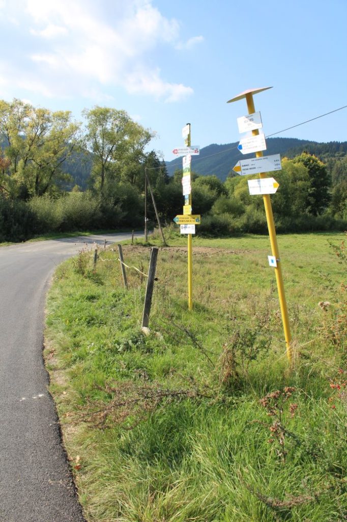
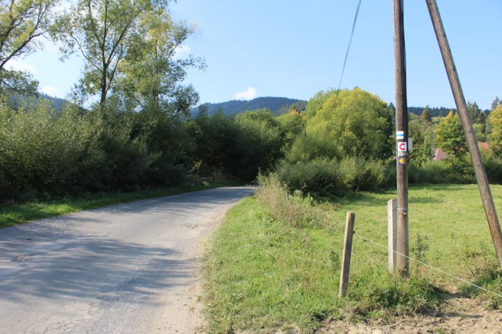
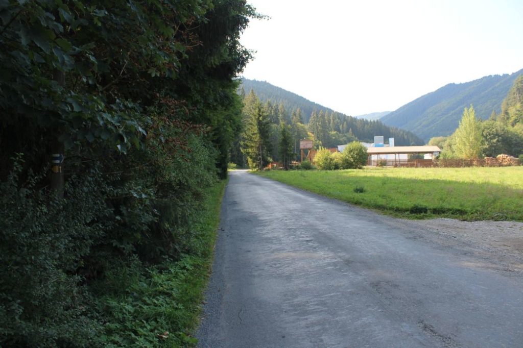
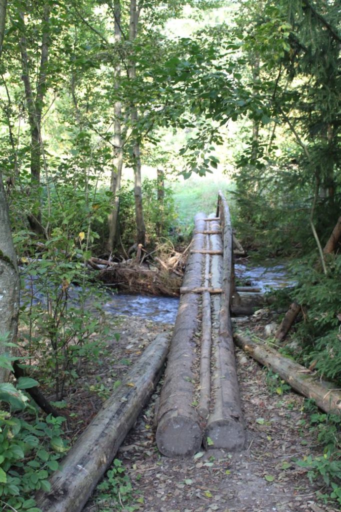
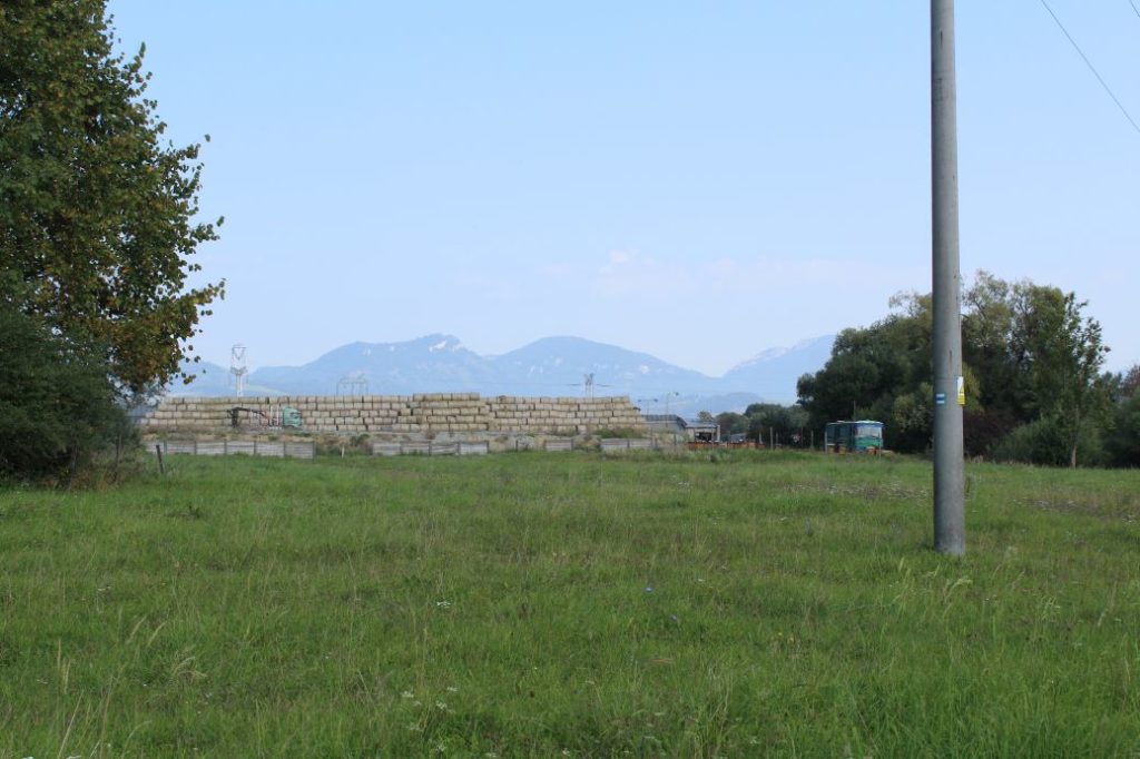
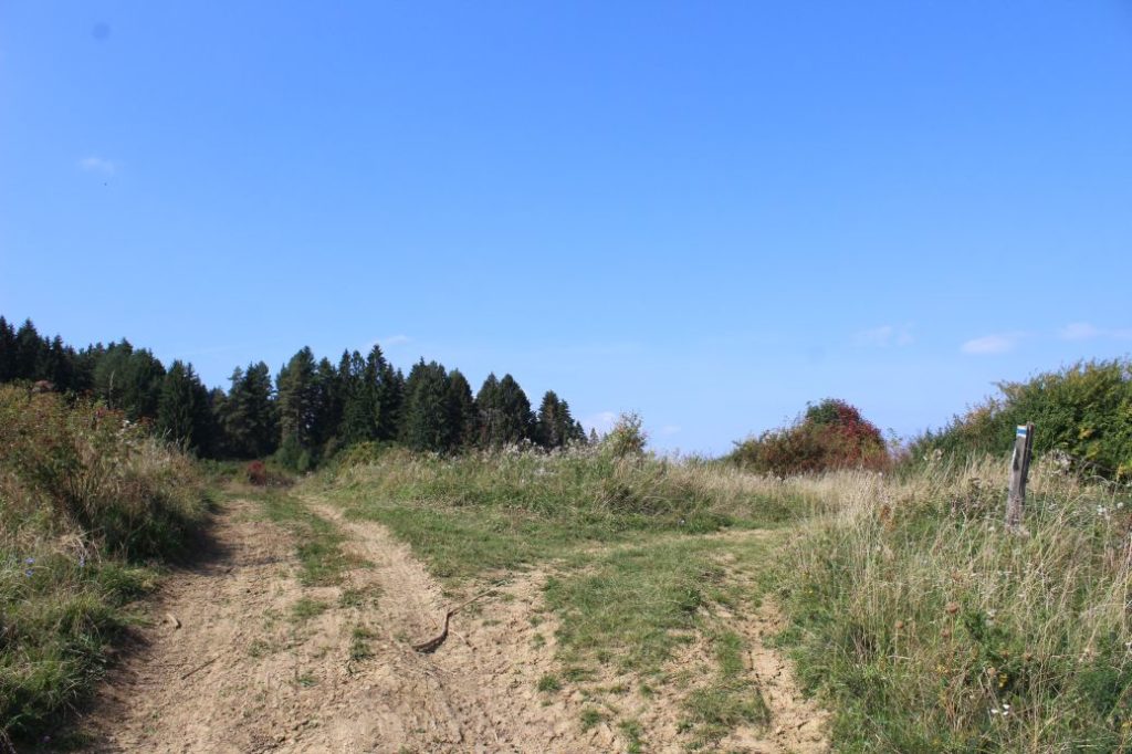
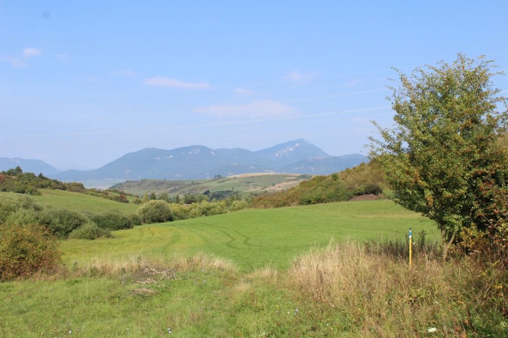
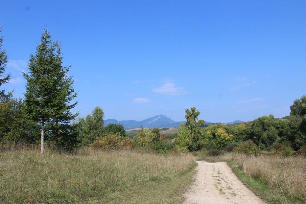
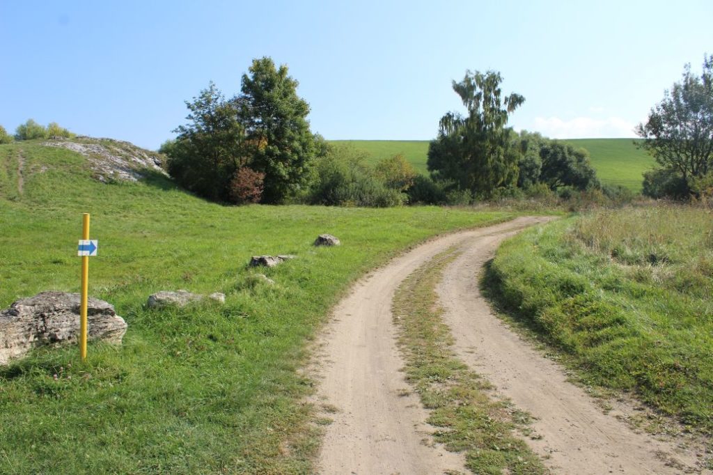
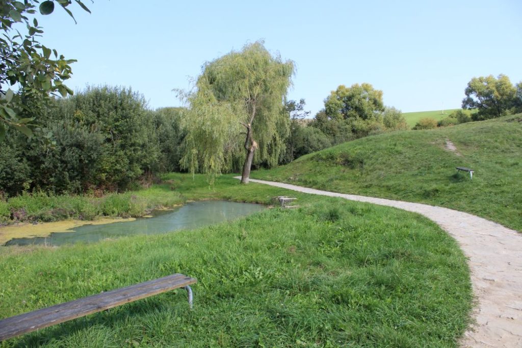
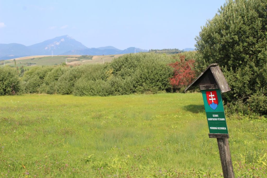
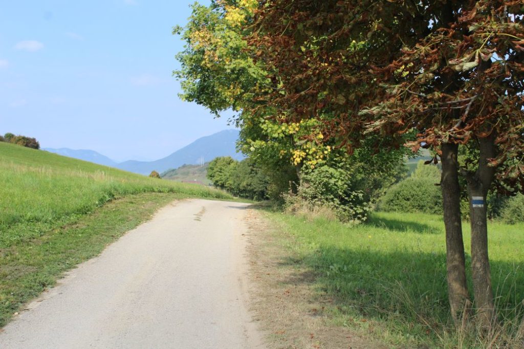
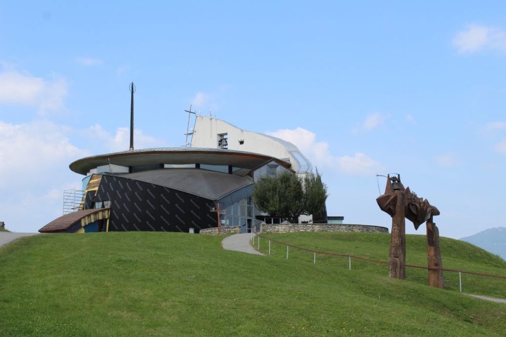
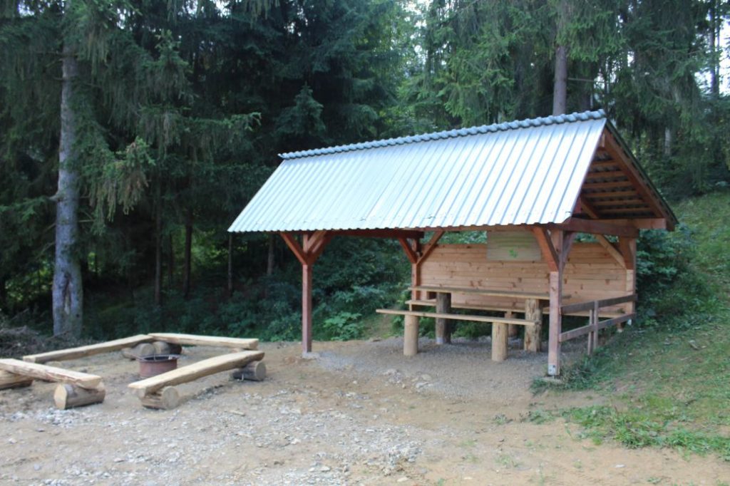
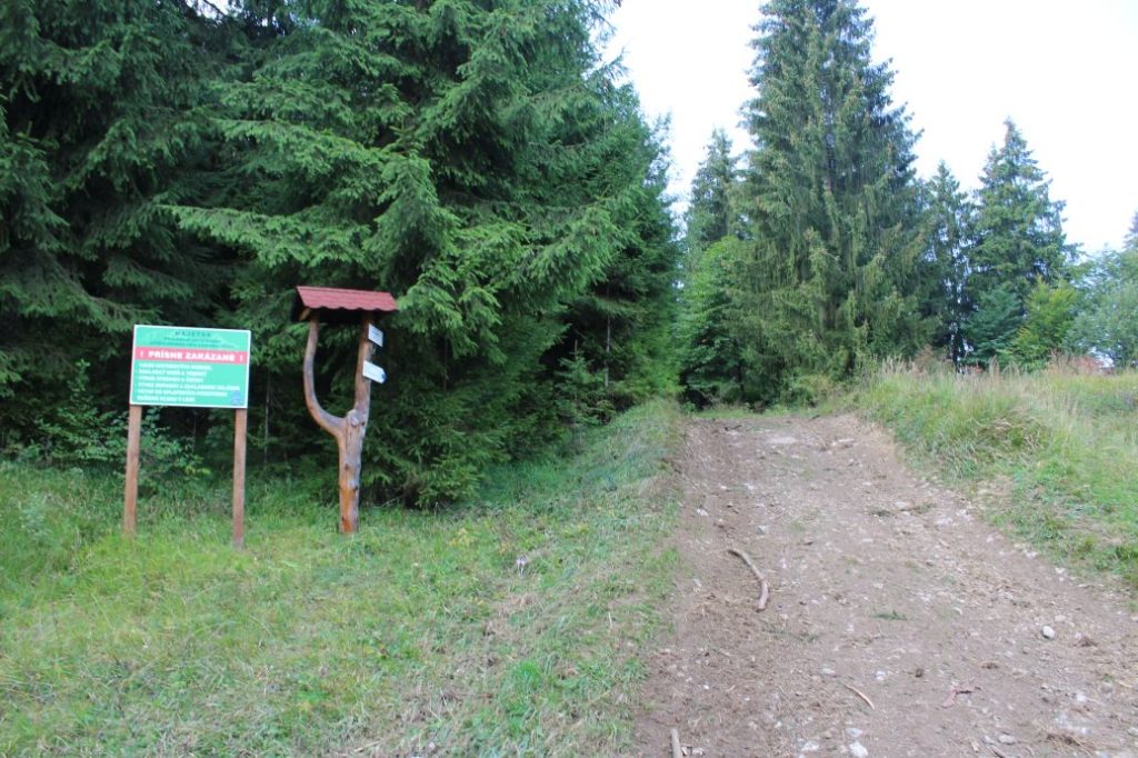
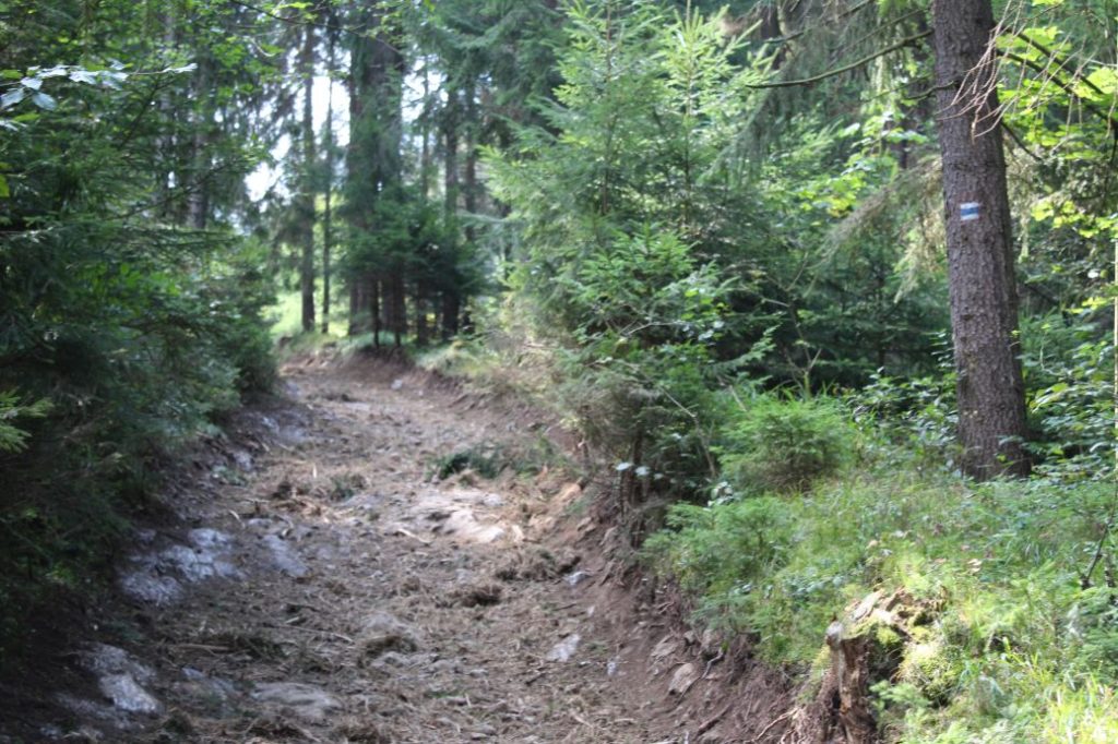
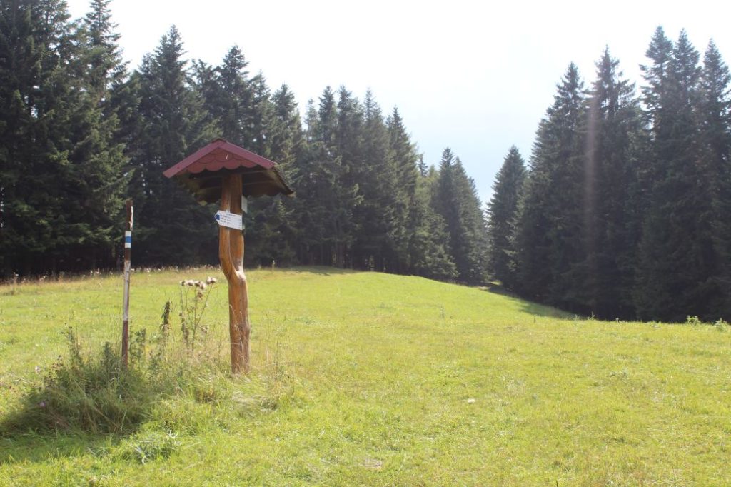
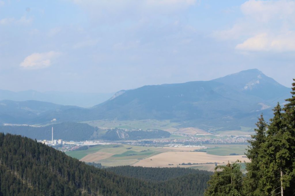
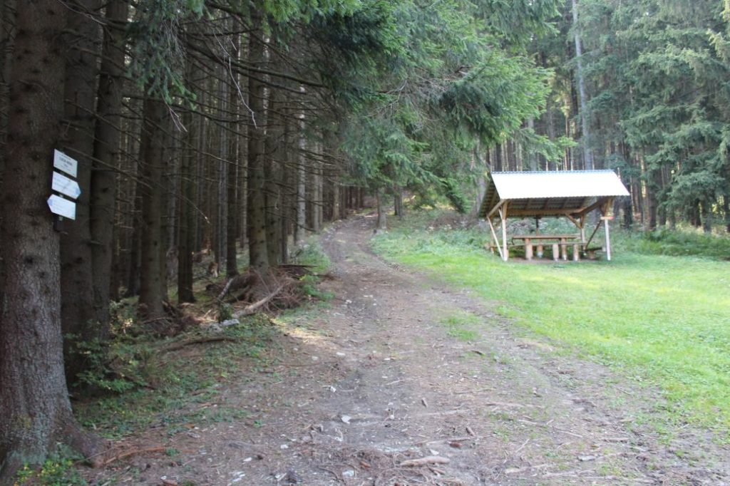
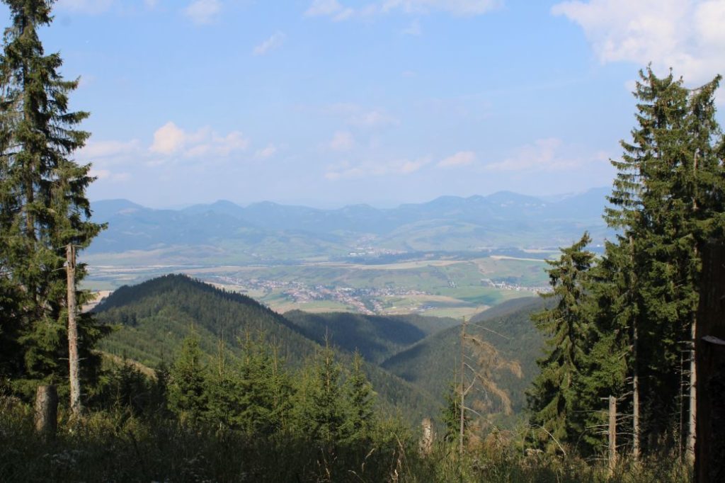
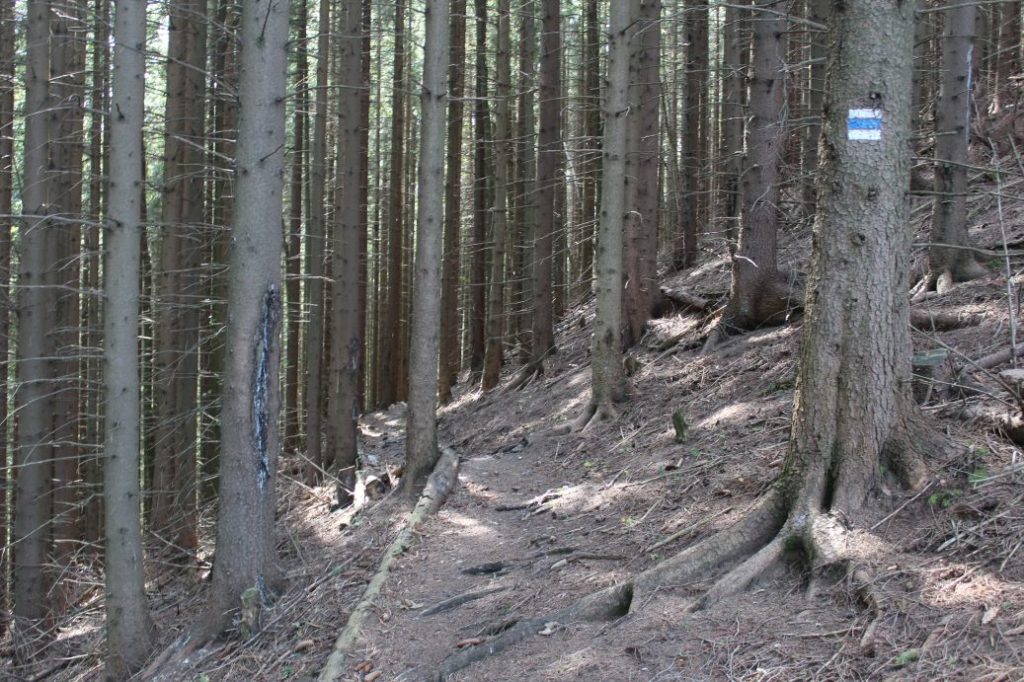
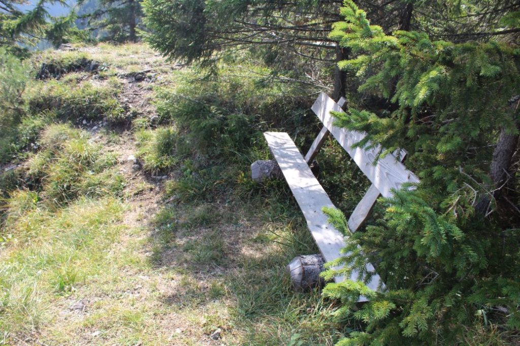
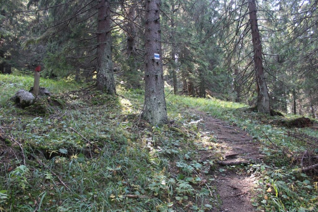
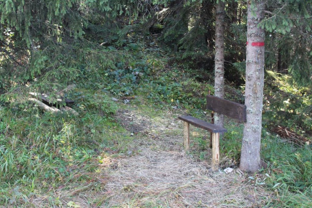
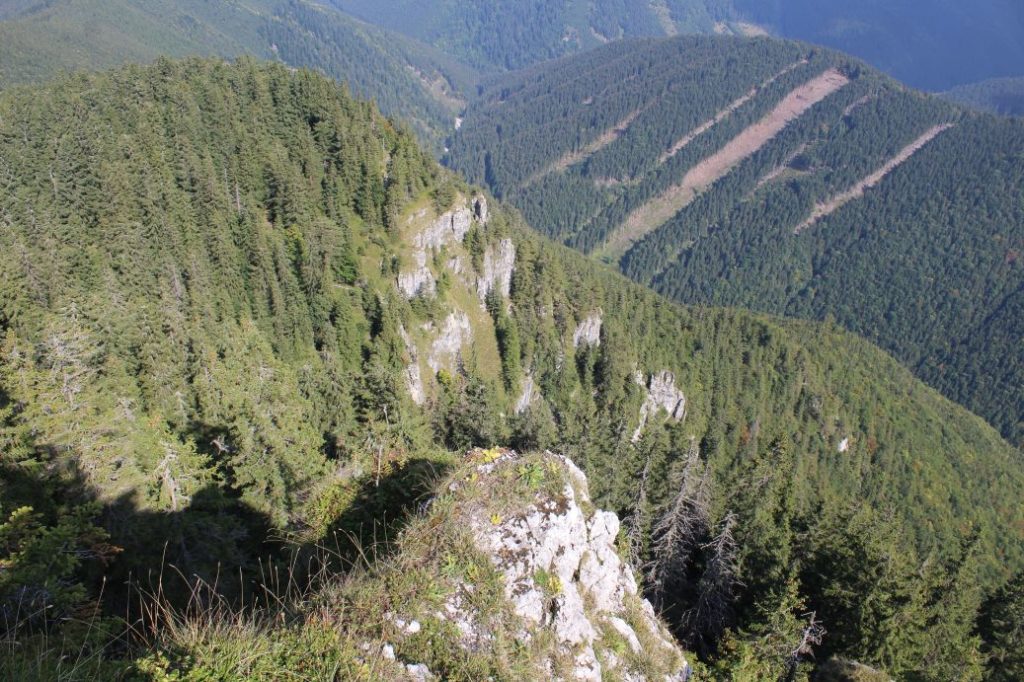
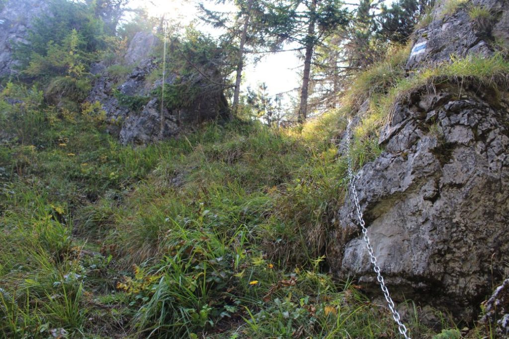
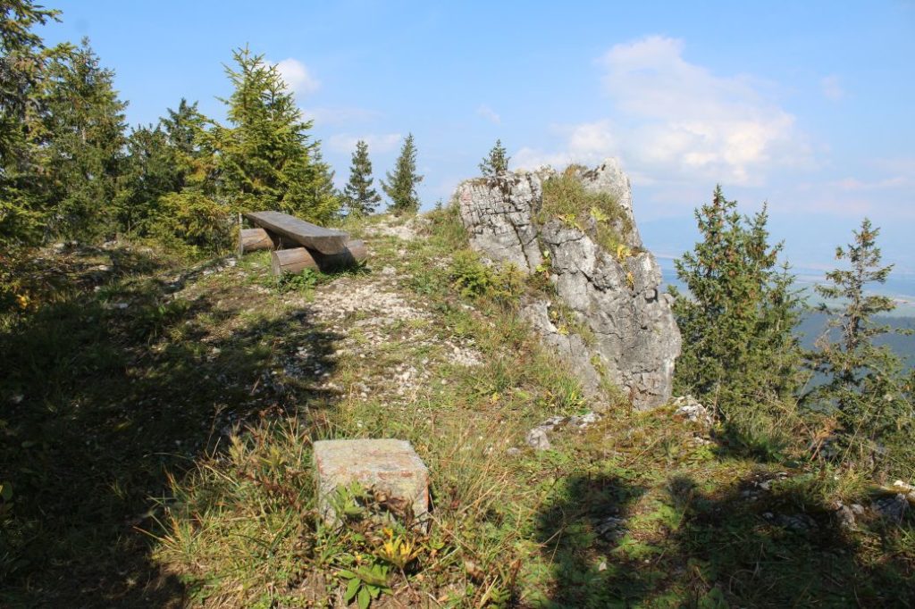
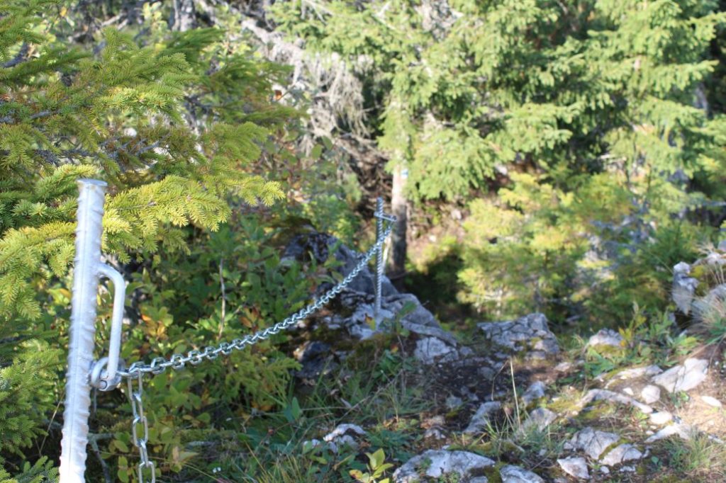
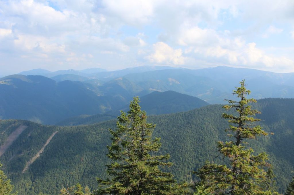
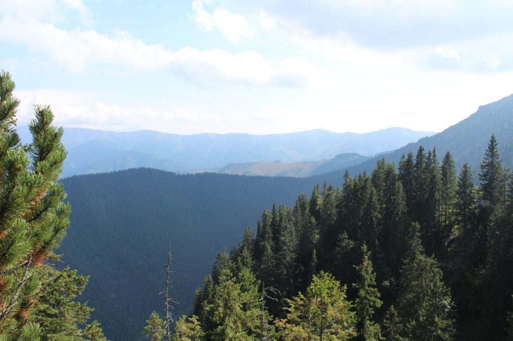
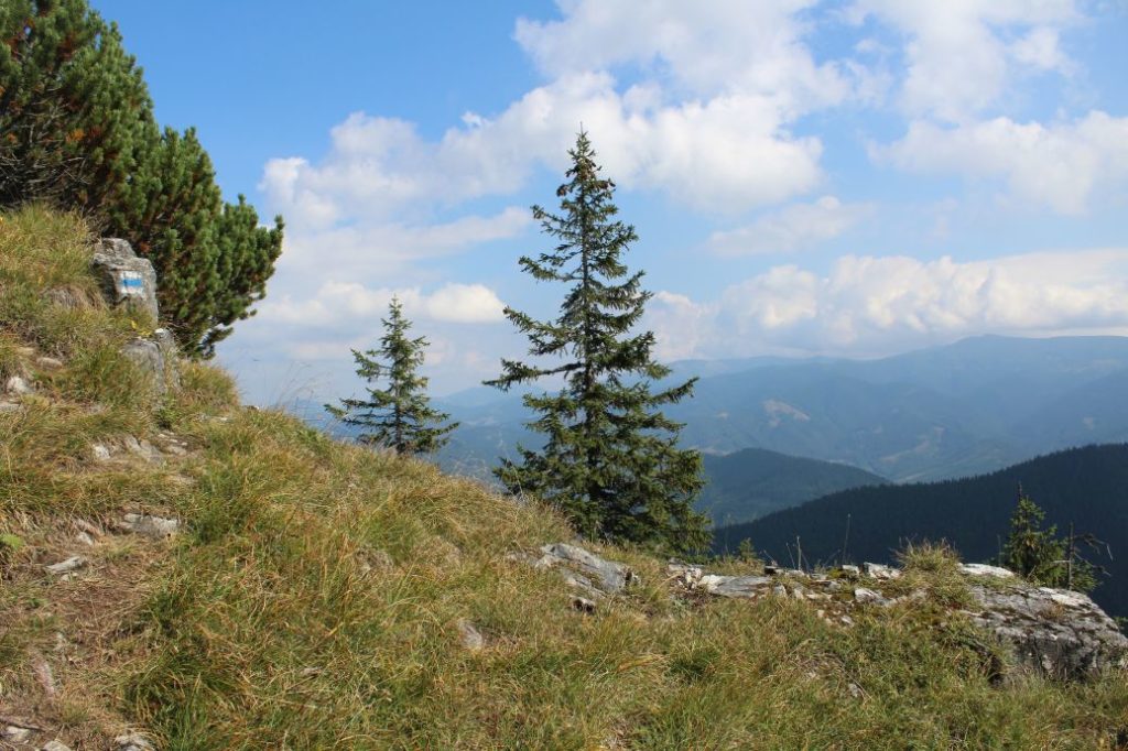
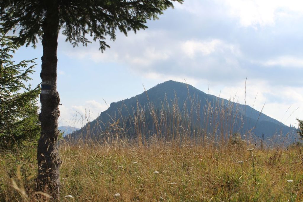
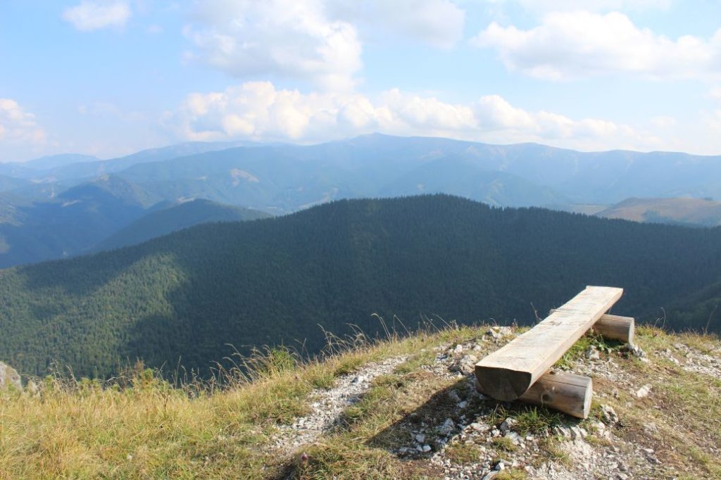
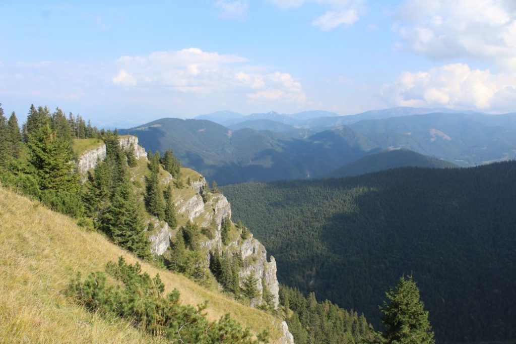
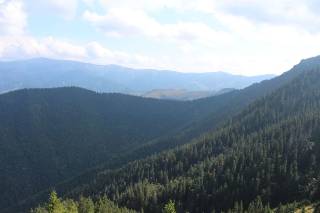
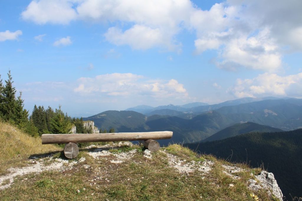
The route begins at the periphery of the wooded area outside of the village of Partizánska Ľupča, in the area called Biela Ľupča. From the signpost, it continues on an asphalt road in the direction to the valley, towards the sawmill, in front of which it turns right and exits the road onto a small meadow. It passes through trees, across a bridge made of trees, over the Ľupčianka river. After passing over the river, it turns right again and continues to a farming group, where it turns left. At this place, the terrain is usually damp and muddy. The field road runs up to the ridge, where it splits into several directions. At this place, the first interesting view reveals Great Choč with the Choč Mountains and the West Tatras. The route continues to the right, not on the ridge, but below the ridge, to a meadow. It continues along the left periphery of the meadow all the way to a distinct field road, on which it passes through the bushes and continues in the same direction to mofette spring ”Teplica“, or ”Čertovica“, as it is called by the locals. The spring is situated in the Nature Reserve of Sliač Travertines. By the spring, you will find a resting zone with a shelter, benches, and an information panel about the village of Liptovské Sliače. Rising above the spring is a travertine hill with a crater and a weak gas escape coming out of it. The route runs along the periphery of the reserve, past an information panel about the reserve, to a signpost. On an asphalt road, the route continues to the village of Liptovské Sliače, more specifically the part of Vyšný Sliač (Upper Sliač). At the highest point of the road, in front of the family houses, we get views of the Choč Mountains and a part of the Great Fatra. Standing out in the distance among the hills is also peak Veľký Rozsutec situated in the Small Fatra. The route runs down the road to bus stop “Lipt.Sliače,Vyšný Sliač,garáž“, where it continues to the left, and subsequently to the right at signpost “Vyšný Sliač“. The route continues uphill, to a parking lot below the Church of Two Hearts. It exits the asphalt road onto a field road, which continues behind the fields, towards the woods. The field road connects to a street, on which we continue past the last houses, below the high-voltage line, towards the woods. On the way to the woods, the views become a little better and we are able to see more peaks. At the periphery of the woods, the route passes by a hiking shelter with a sitting area and a fireplace, which serves for resting and enjoying the view, in particular of the Choč Mountains and the West Tatras, which are partially covered by the high-voltage line. The signpost at the entry to the woods provides information about the name of the area through which the route is passing, called “Pod Kršiakom“, and it navigates the visitors to the correct sloping road. By entering the woods, we begin the section of the route that will overcome vertical distance of over 400 metres. The section runs through the woods, on a sloping road, which splits into branches at a few places, fortunately, each intersection is well marked with the hiking trail marking. At the place where the route passes through a meadow, past a cross on a tree and a feeder below the road, you can look back and get a partial view of the Choč Mountains and Liptovská Mara reservoir, with the West Tatras in the background. On the meadow in the area of Vidovô, the ascent becomes milder and the road continues mildly uphill along the ridge, sometimes by-passing the ridge from the right. At the areas with felled trees, we get views of a part of the Small and the Great Fatra, with dominant Great Choč next to them. Hidden at a small mountain meadow in the area of Sliačska Magura is an animal feeder, a wooden cross and a shelter with a sitting area. From the shelter, you can see the West Tatras. There is a path leading from the shelter to a well with potable water, situated approximately a five-minute walk away. The route continues past the shelter, on the side of which you will find information about the National Nature Reserve of Salatín. After a short uphill section, at the place with felled trees and a view of Great Choč, the trail turns to the left and continues on a traversing path below peak Chlopec. At a small meadow notch with a statue of a saint on a tree, the route enters the reserve of Salatín. The path through the woods is sinuous and by-passes various fallen trees. It runs on steep as well as milder sections. The marking is closely spaced and the path is cleared from obstacles, which makes orientation quite easy in spite of the thick woodland. At the periphery of a small meadow, at the place where a painted arrow points to the right, there is a viewpoint with two wooden benches located slightly to the left, among the trees. From the viewpoint, you can see the nearby peaks of Malý Salatín and Salatín. In addition to Salatín peaks, the viewpoint also reveals a part of the Low Tatras. The route continues through the meadow, passing by a small mud swamp used by woodland animals, steeply uphill to the viewpoint below Malý Salatín, at which there is a sitting area. The viewpoint consists of a rocky ledge with a narrow path, from which you can see the Liptov Basin and the Low Tatras. After a few metres of walking among the trees, the trail arrives at a rock, leading to which is a path secured with a chain. Situated above the chain is the peak of Malý Salatín with hiking marks and a bench you can sit on. An attentive eye may also notice the bench of the previous viewpoint. The view of the Low Tatras, the West Tatras and the Liptov Basin is what Malý Salatín offers in the case of good visibility. The peak of Malý Salatín consists of rocky cliffs at the south and woods at the north. The peak itself consists of mountain bushes and blueberry bushes. From the peak, the blue-marked hiking trail continues through a thick wooded area with occasional fallen trees, to a nearby meadow at notch Sedlo pod Malým Salatínom (Notch below Malý Salatín), where it ends by the signpost with arrows of the green-marked trail to Salatín. A few metres away from the signpost, there is a viewpoint with a wooden bench, from which you can admire the rocky terraces of Malý Salatín, Salatín, and the Low Tatras.
Safety:
The route belongs among the safe ones, for the most part it runs on field roads and forest roads. A smaller portion of the route runs on wood paths. The upper areas in the vicinity of Malý Salatín have rugged terrain and the peak itself is secured with a chain, which helps in particular with the ascent in damp weather and in winter. There is some risk especially at the viewpoints and at the peak, which are not secured. In damp weather, some of the steeper sections are slippery, especially on the way down. Some sections of the sloping roads are broken up after excavations, with a lot of loose rocks. The route is not suitable for children under the age of 7, especially due to its length and vertical distance. We do not recommend walking up to the rocky viewpoints in winter.
Marking on the route:
As the route belongs among the newer ones, the marking is in good condition and orientation is easy in both directions. The only section where the marking is less satisfactory is the one leading to the mofette spring, where there is nothing to paint the marks on and at least two additional posts would be needed. In winter, orientation is difficult due to snow-covered path, especially from Sliačska Magura onward.
Notes:
– The trail is accessible all year round.
– The trail was marked in 2018.
– Passing of the route in the opposite direction takes approximately 3:10 hours.
– In the initial section, the route passes through several electric fences with built-in passageways.
– In the section through Liptovské Sliače, the route passes by an accommodation facility with a restaurant, a refreshment establishment and a grocery store.
– The water from the mineral spring is suitable for drinking and it is a good source of minerals.
– In Sliačska Magura, at the place with the cross, they hold an annual mass with a pilgrimage.
– The route is situated in the Low Tatras and it passes through protected territories with the highest level of protection.
– At approximately two kilometres away from the beginning of the route, there are suburban buses running from Ružomberok.
– The beginning of the route is located at an intersection of bike trails.
– If you want to visit the route in winter, we recommend participating in the annual winter hike on Saint Stephen’s Day (December 26).
The route was reviewed in September 2021.

