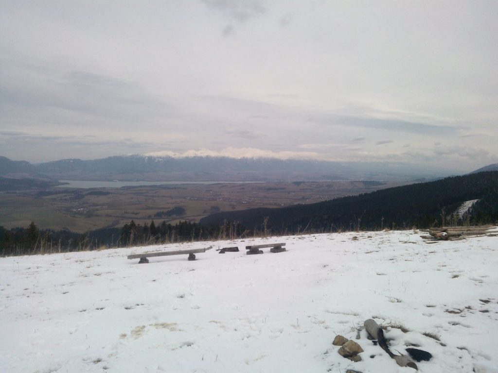
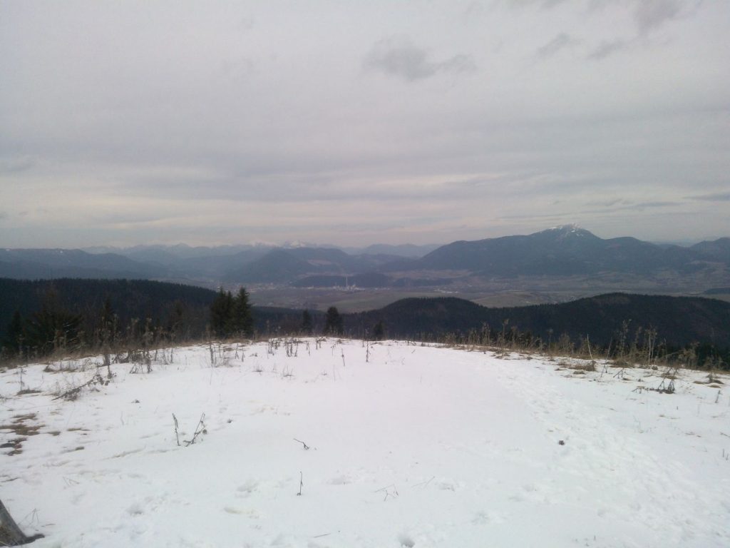
Predná Magura (Front Magura) in winter
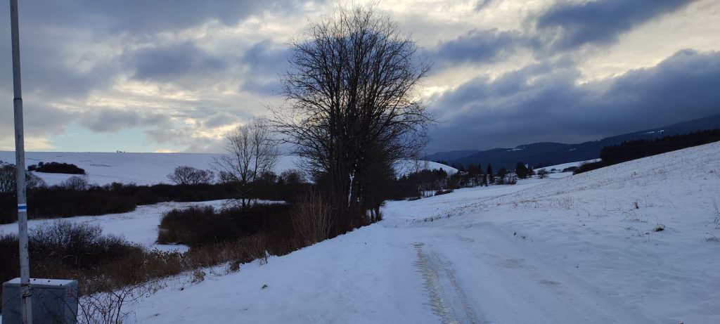
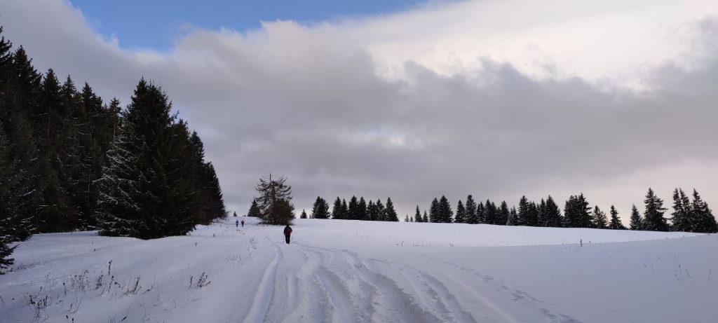
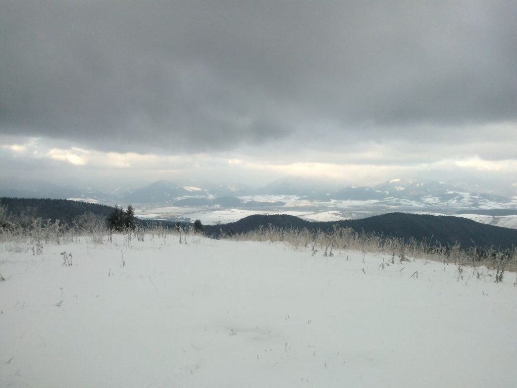
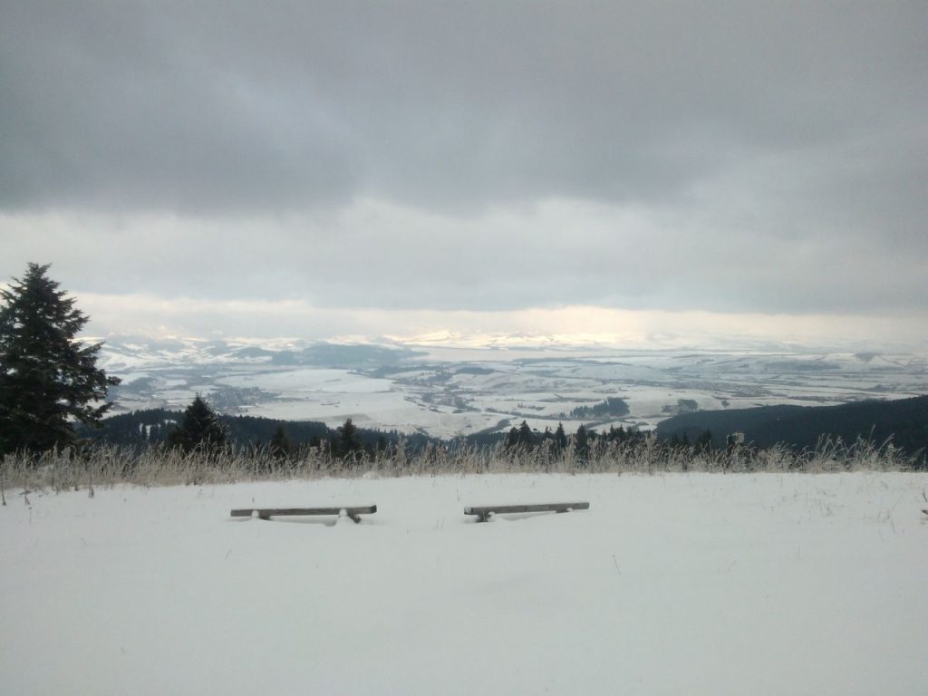
In winter, Predná Magura is an easily accessible, safe peak with lovely views of the Liptov Basin.
Start and destination: Liptovské Sliače – Vyšný Sliač (bus stop ”Lipt.Sliače,Vyšný Sliač,garáž“)
Route: 15 km (in total, there and back)
Estimated time: 5 hours (in total, to the peak and back)
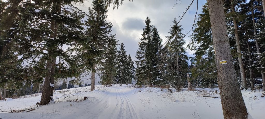
Marking: blue and yellow hiking trail marks, back along the same route
Vertical distance: 600 m
Difficulty level: Medium difficulty route. Depending on the weather and snow conditions, the difficulty level might increase. A route with longer sections of mild uphill terrain and level terrain. The route is visited sporadically, therefore it is not always trodden, which increases its difficulty.
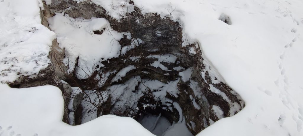
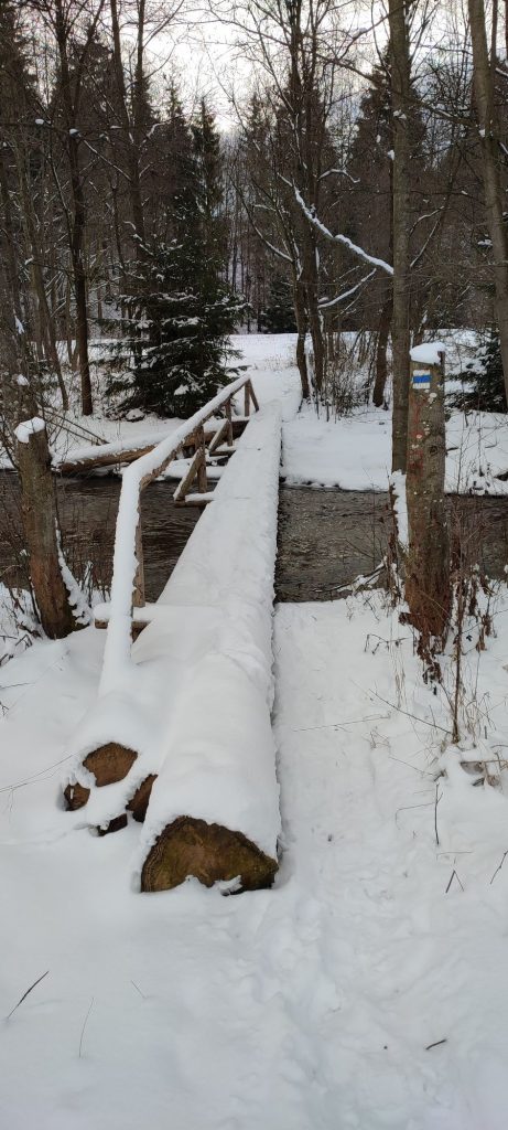
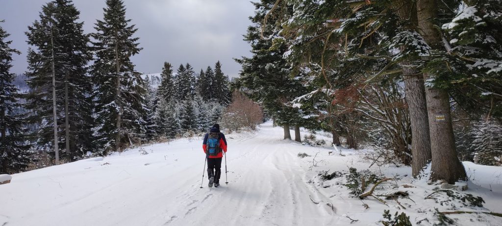
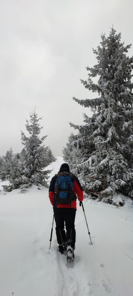
Safety: Almost the entire route is safe, with the exception of a few short sections. In the initial section, the route runs on a street with traffic. Above the mineral spring, you need to be very careful in the area of the crater. When crossing the bridge over the Ľupčianka river, which consists of two tree trunks and handrails on one side, you need to pay increased attention. There is also car traffic at a short section through the Ľupčianska valley. On the road in the woods, in the section with steeper terrain, there is a risk of slipping. The final section of the ascent runs in open terrain and there is often unpleasant wind. In the event the weather gets worse or you run out of time or energy, we recommend turning around and going back. We also recommend using hiking poles.
Transport:
By car: Parking in the town is possible near the bus stop at guest house Prameň or by the local refreshment establishment and grocery store. (The parking areas are not always cleared from snow.)
By bus: From the bus station in Ružomberok to bus stop ”Lipt.Sliače,Vyšný Sliač,garáž“
By taxi: Taxi from the centre of the town to the beginning of the route will cost you about 15€.
Route:
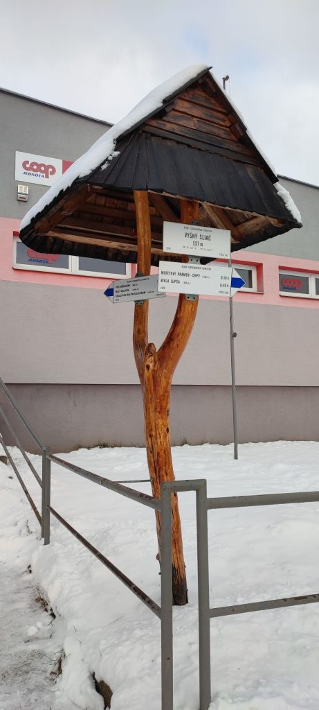
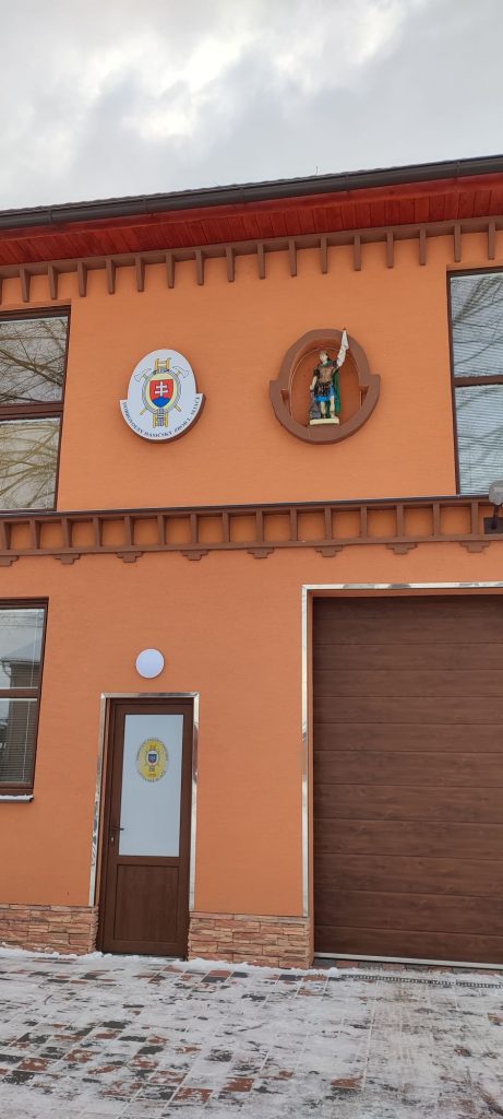
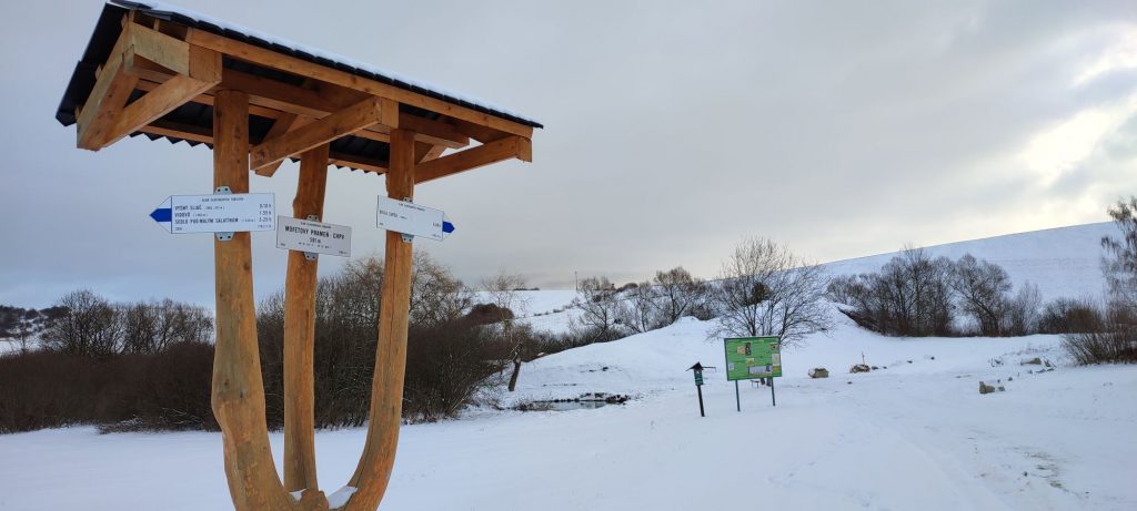
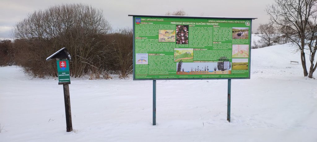
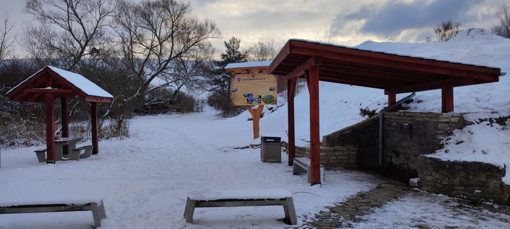
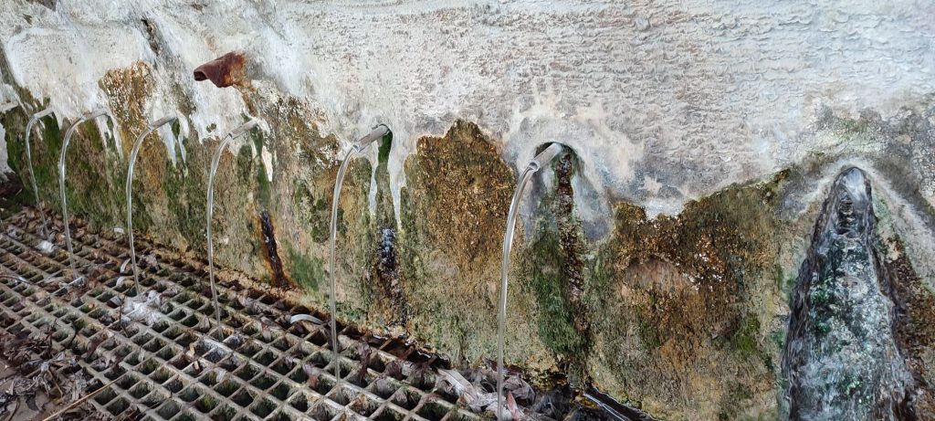
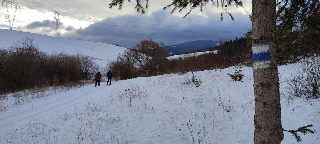
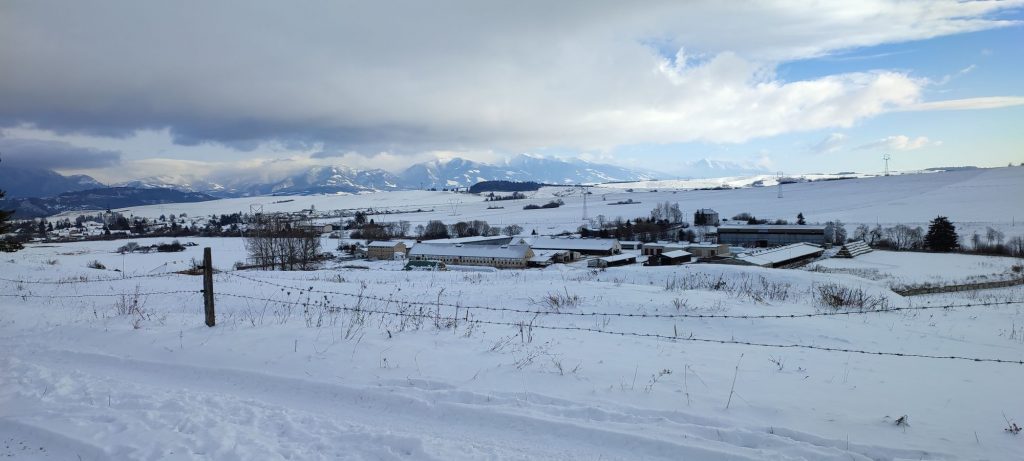
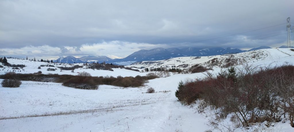
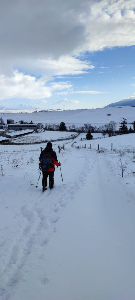
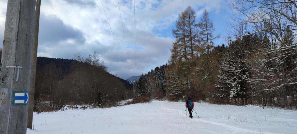
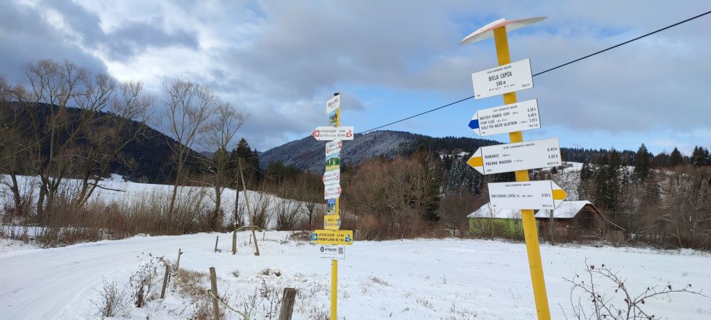
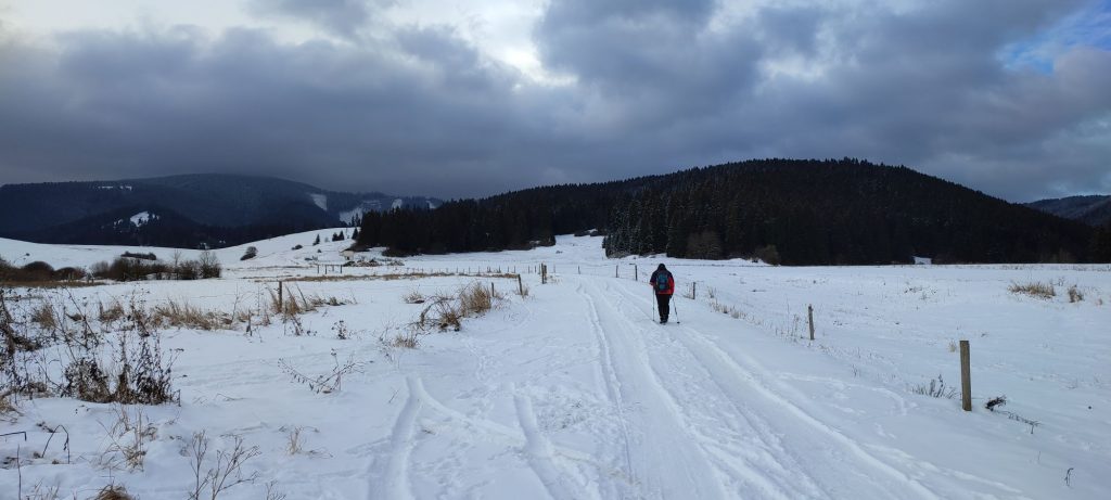
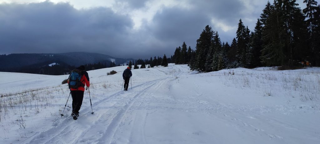
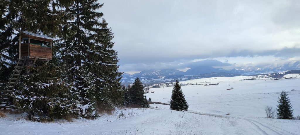
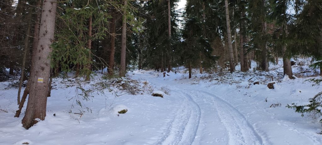
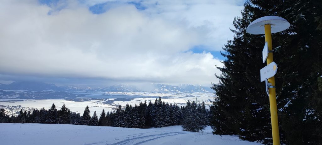
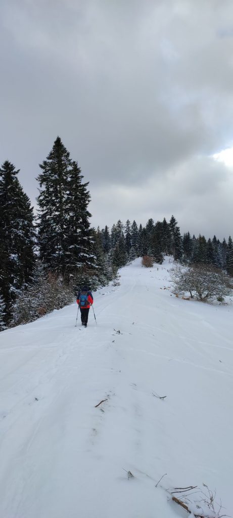
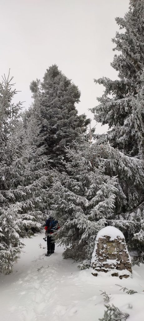
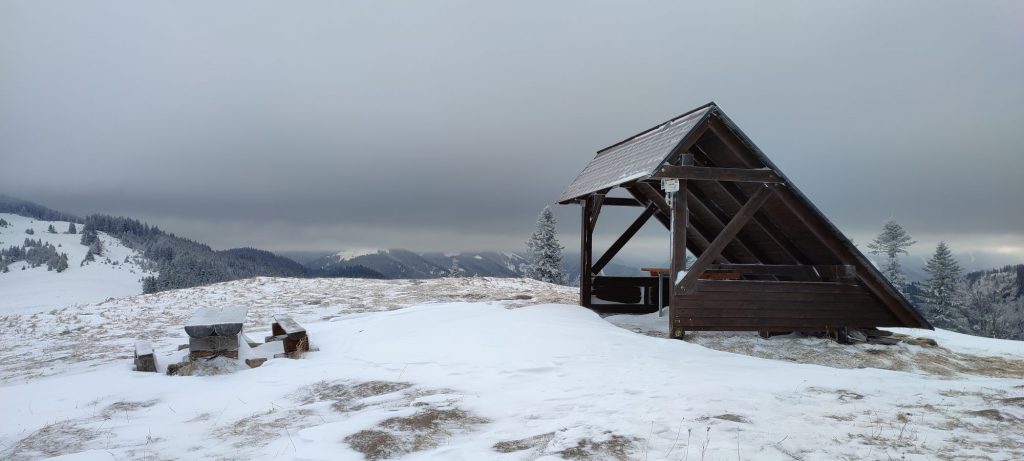
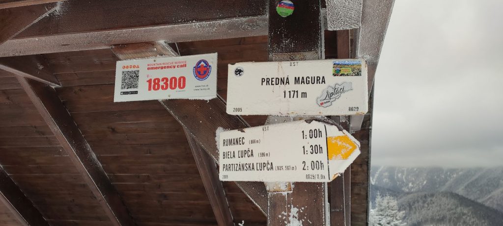
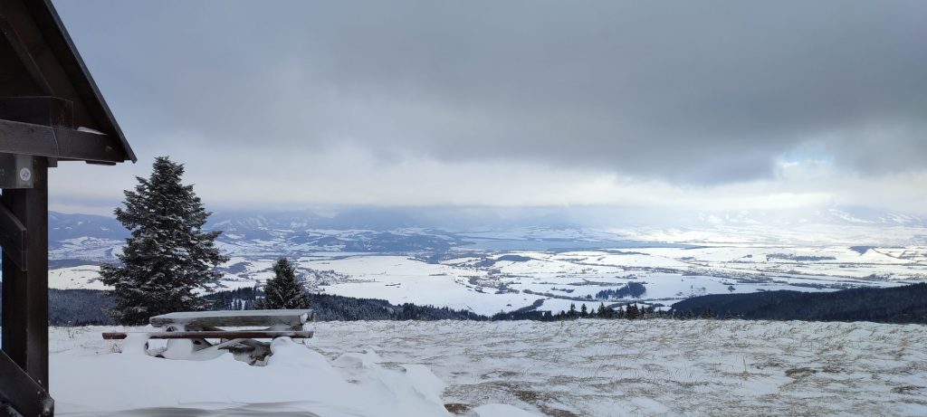
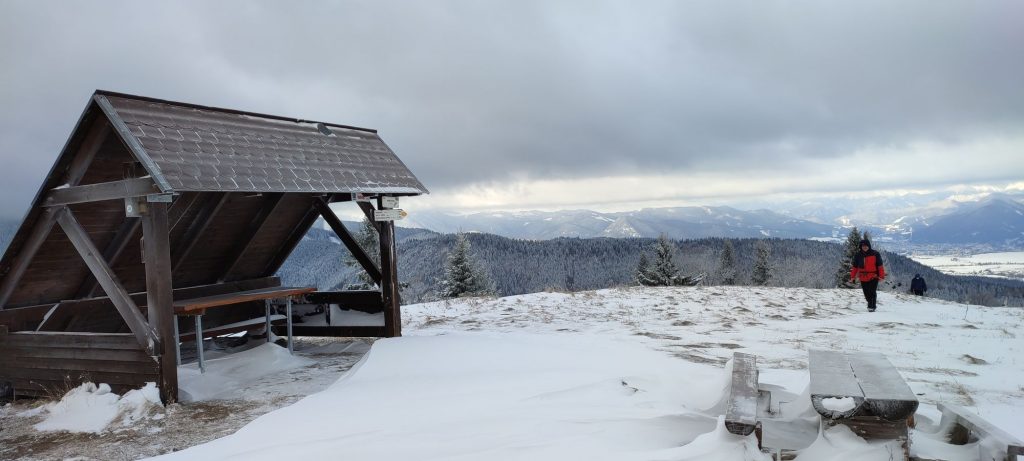
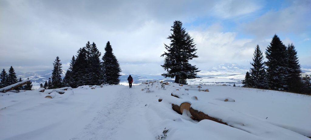
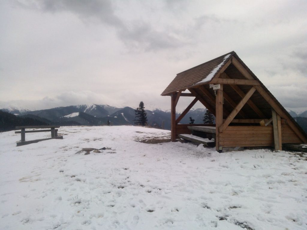
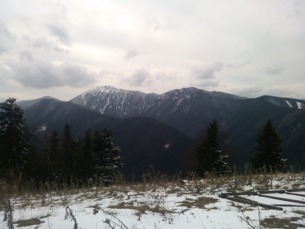
We begin the route in Vyšný Sliač, by bus stop “Lipt.Sliače,Vyšný Sliač,garáž“. The hiking signpost is situated approximately 100 metres away, at the local refreshment establishment and grocery store. As our route does not pass by the signpost, you can make a short detour to it, if you want to. From the bus stop, we pass by the fire station to get to the road running uphill. We are guided by the blue hiking trail mark. After a short uphill section on the steep road, we come to the area above the town, where we get our first views of the surroundings. Gradually, the road turns downhill, passing by the protected area of Sliač Travertines, and it leads us to a signpost with an information panel about the mentioned area. A few metres away from the signpost, we will make a short detour to a mineral spring called “Teplica” or “Čertovica”. On a small hill above the spring, there is a crater created by the mineral spring. You need to pay extra attention in the area around the crater, which resembles a volcano, in order to avoid slipping and falling into the crater. After the detour to the spring, we continue on the field road to a place where the road passes through bushes and curves back. At this place, we pass through the bushes, but then we leave the road and continue further in the direction in which we have been walking. Gradually, we climb onto the ridge located to the left of us. At the ridge, we can enjoy more views of the surroundings. In a discreet notch on the ridge, where several field roads meet, we go downhill in the direction towards the farming group. By the farming group, we turn right in the direction to the valley. At approximately 400 metres away from the premises of the farming group, there is a bridge over the Ľupčianka river, which we use to get to the other side. On the road on the other side of the river, we go to the left, and near the periphery of a wooded area, we will see a hiking signpost called “Biela Ľupča“. From the signpost, we follow the yellow-marked hiking trail to a small road running below the wooded area. After approximately a hundred metres, the road splits up and we continue on the branch running to the right, towards the woods. Below the woods, we may see a building to which our route leads. When we come to the building, we can see that it is a waterworks building, and we pass by it from the left side. We continue uphill along the periphery of the woods, where we can see two travelled field roads. Whichever road we choose, we need to stay at the periphery of the woods and move uphill. On the way up, we may turn around sometimes and check if there is anything new in our view. At the place where the periphery of the wooded area curves to the left, we enter the woods on a road. The road through the woods runs smoothly, with two steeper sections. When we exit the woods, we arrive at meadows called Rumanec. Situated here is another hiking signpost and a sitting area. At Rumanec, we can admire the views of the Liptov Basin, the West Tatras and the Choč Mountains. We continue on the road running on the ridge, continuously uphill to the peak. The road runs through alternating sections of meadows and tree areas. Almost the entire time, we get views of the surroundings. In a few short sections, the terrain is steeper, but there are also sections of level terrain. Finally, the road leads us to a memorial, at which it turns left and underruns a hill. Here, we exit the road and continue directly uphill past the memorial, on a steep path. After a few minutes, we will see a hiking shelter in front of us, at the peak of Predná Magura, which is our destination. At the peak, we can admire panoramic views of the ridge of the Low Tatras, the West Tatras and a part of the High Tatras with Kriváň, the Choč Mountains, a part of the Great Fatra and the Small Fatra, and most importantly, the Liptov Basin with reservoir Liptovská Mara. After resting, we use the same route to return to where we began.
Notes:
– In the vicinity of the beginning / end of the route, there are refreshment establishments, accommodation facilities and a grocery store.
– The route is situated in the Low Tatra Mountains.
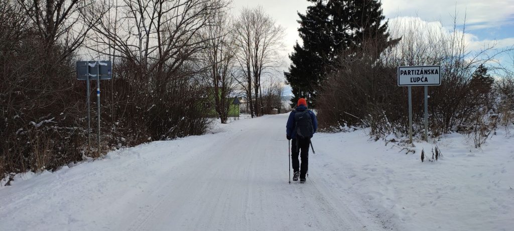
– We can make the route shorter by starting and finishing in Partizánska Ľupča, to which there are buses running from Ružomberok.
– If the ascent is too much for you, just walk up to Rumanec, from where you get lovely views as well.
– The route is also suitable for passing on skis.
– On your way back, we recommend filling your bottles with some of the mineral water. It can replenish the minerals we have used up during the ascent.
– There is a hikers’ book in the shelter at the peak, where you can sign your name, if you want to.

