To mountain pass Hučiaky
A moderately demanding route through the Ludrovská Valley to a somewhat demanding mountain pass called Hučiaky, which can easily compete with the ravines of Slovenský Raj.
Start and destination: Ludrová (bus stop ”Ludrová,,otočka“)
Route: 14 km (in total, there and back)
Estimated time: 4:00 hours (in total, to the mountain pass and back)
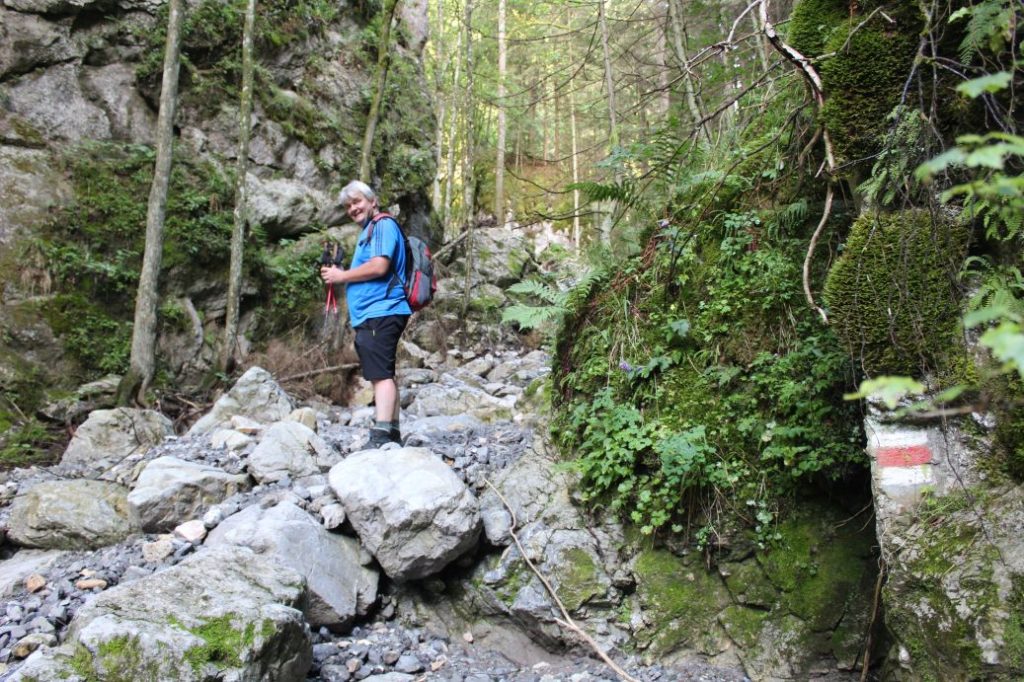
Marking: Red hiking trail mark.
Vertical distance: 370 m
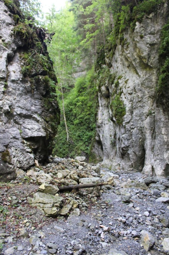
Difficulty level: The section through the valley is non-demanding up to the turn to the mountain pass. The section leading to the mountain pass is rocky and at some places you need to overcome fallen trees or grooves washed out by water. The mountain pass itself is rocky and you need to climb over a few fallen trees and climb up large rocks without any aid.
Safety: From the turn to the mountain pass, we move on rocky and gravel terrain, which was deposited here by water. When getting through the grooves washed out by water, you need to keep in mind that the rocky surface can easily slide under your weight. There is also water-deposited gravel in the ravine, which slides in steeper sections. Water has created many rock formations in the ravine, which you need to climb over. The atmosphere in the ravine is damp, therefore everything is slippery, from the rocks to the wood we walk on. The route is not suitable for small kids, particularly due to difficult terrain in the mountain pass. Kids from the age of 10 should be able to get through the mountain pass with a large amount of help from the parents. The route is also not suitable for pensioners with reduced mobility.
Transport:
By car: Parking in the area next to the road by the bus stop or at free parking spaces in the village (by the refreshment establishment, by the mineral spring, by the asphalt playground).
By bus: From the bus station to bus stop ”Ludrová,,otočka“
By taxi: Taxi from the centre of the town will cost you about 10€.
Route:
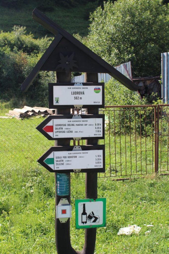
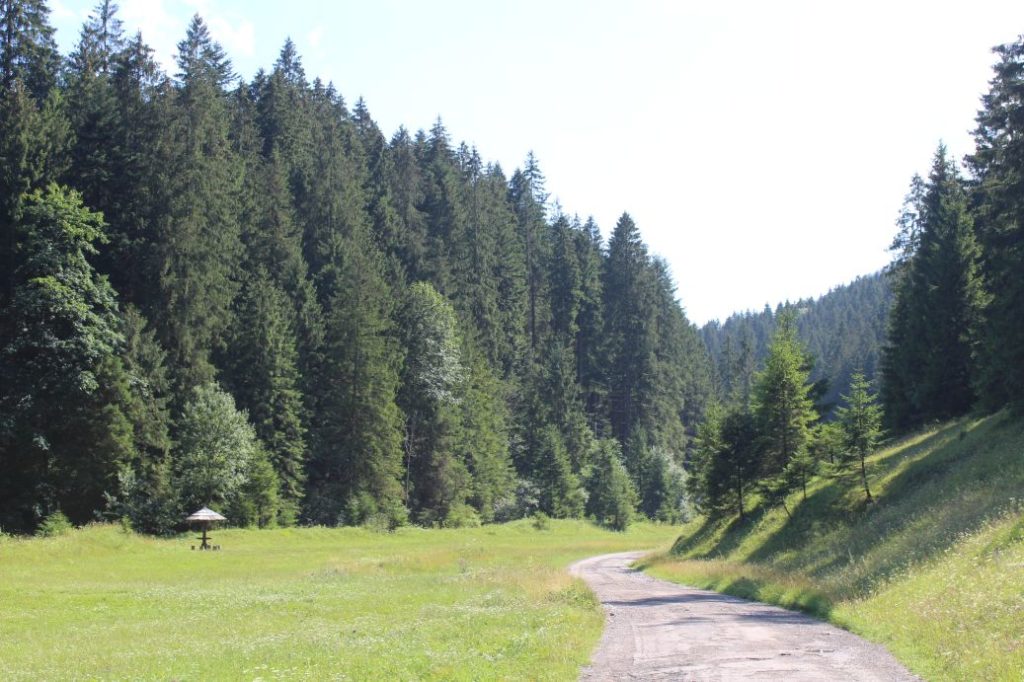
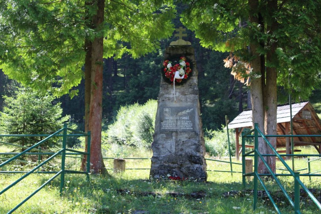
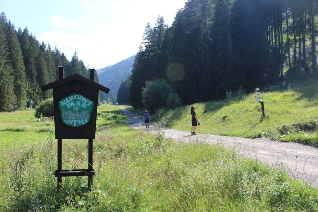
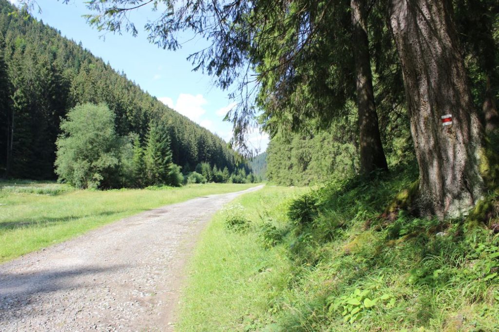
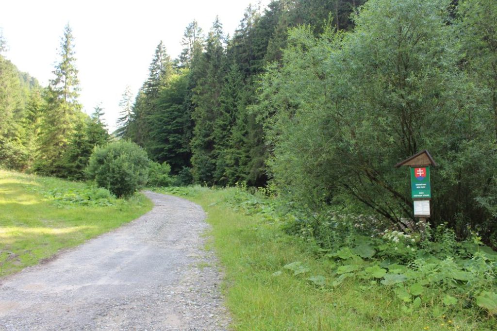
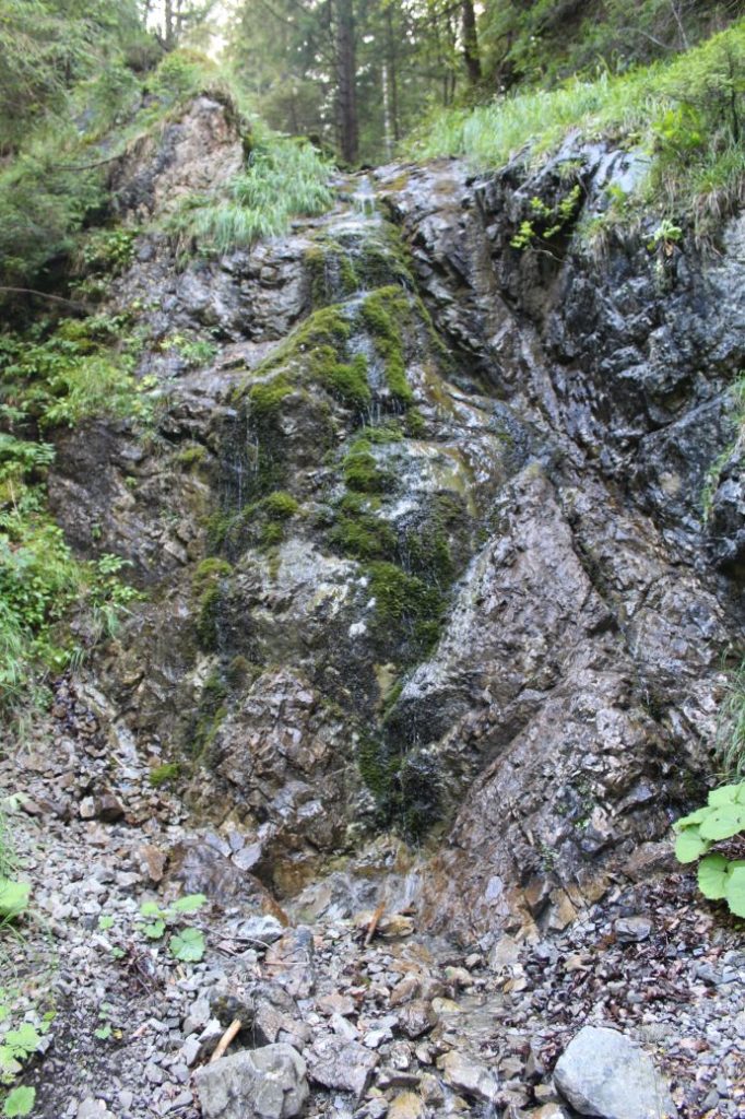
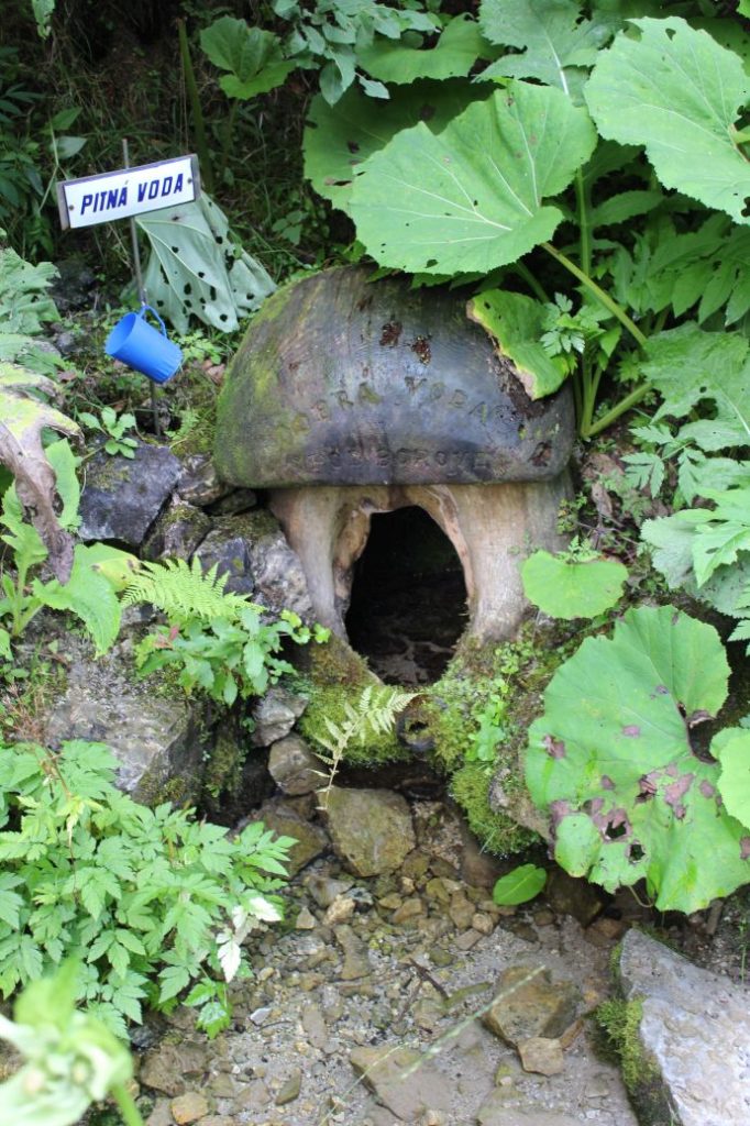
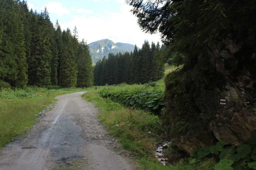
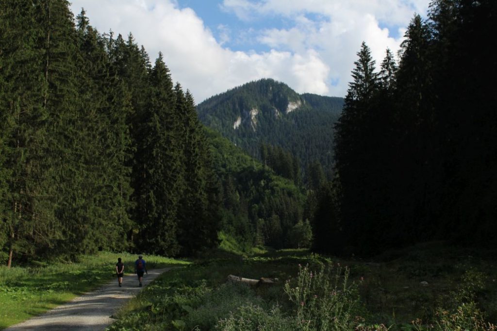
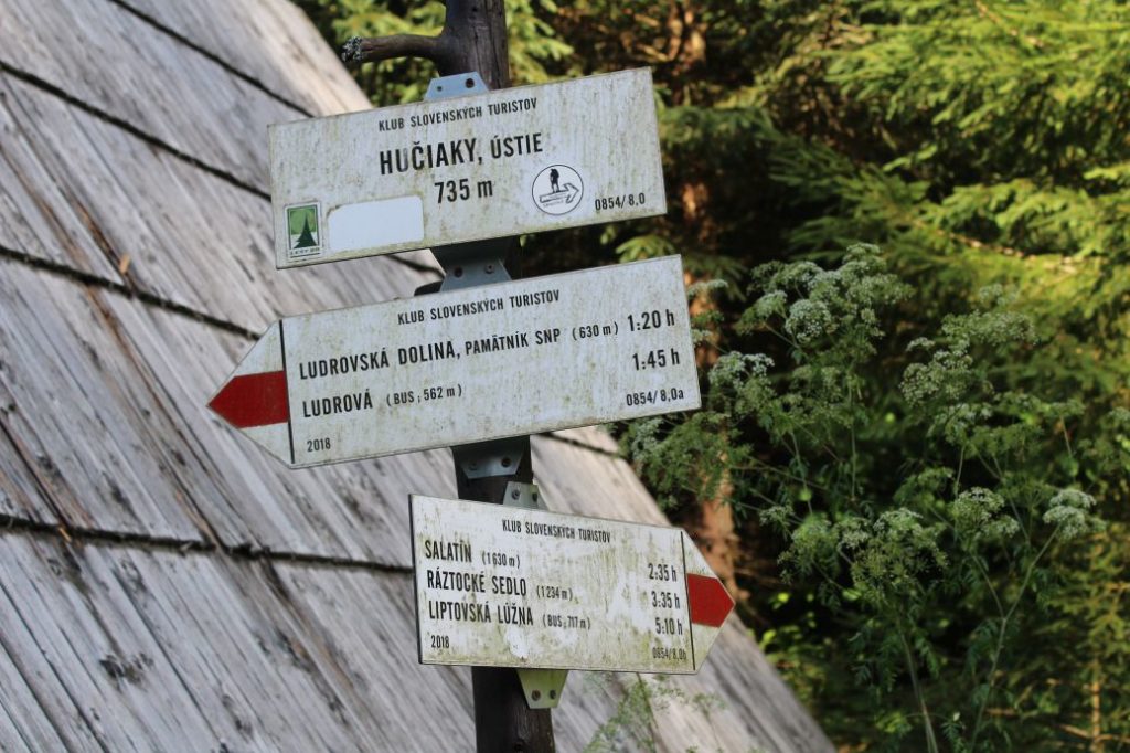
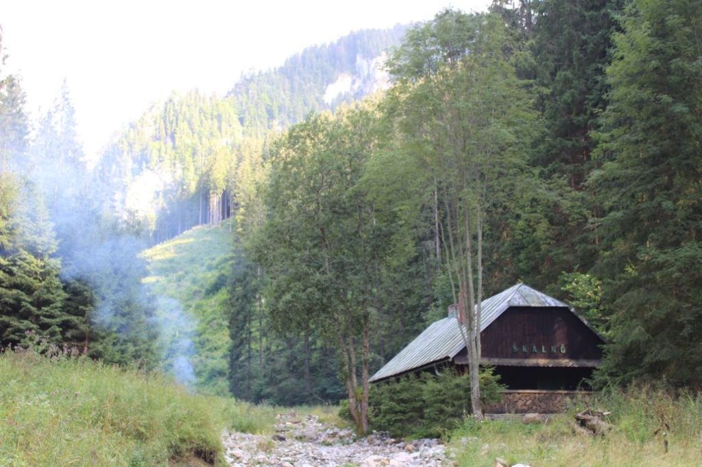
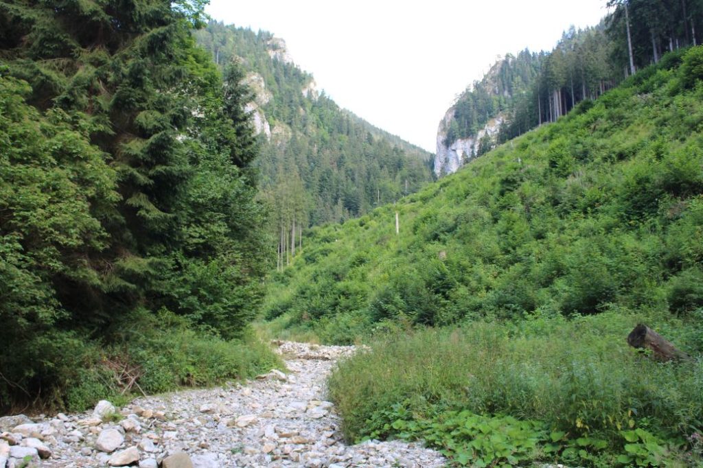
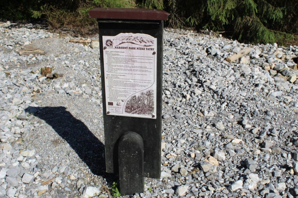
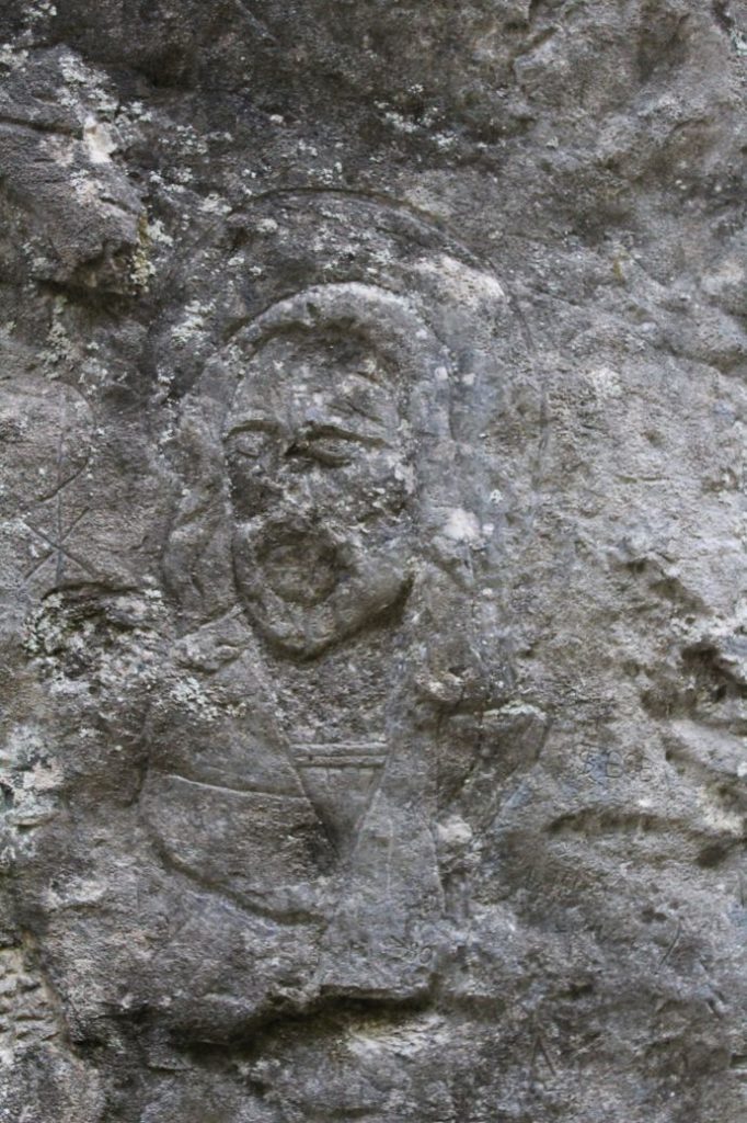
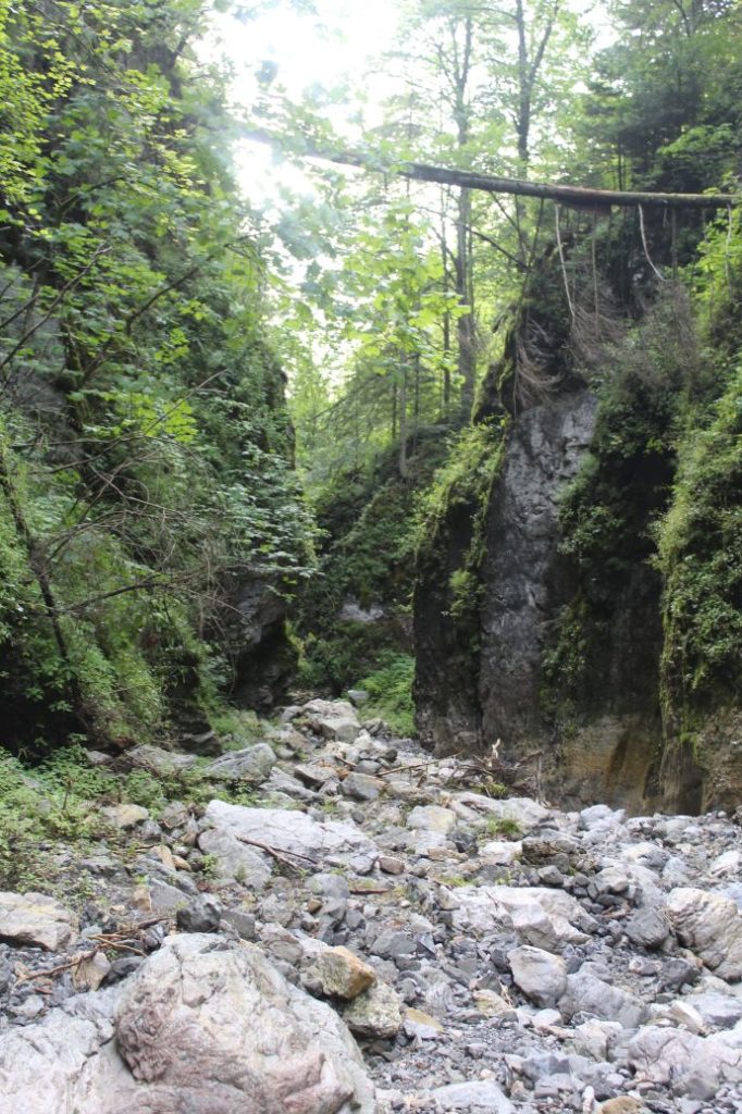
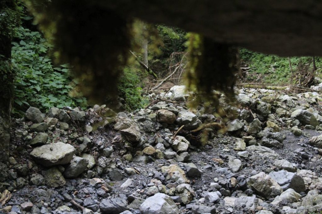
The route begins at the last bus stop in the village of Ludrová. Along the entire route, we will be guided by the red-marked hiking trail leading to the peak of Salatín. An old asphalt road with gravel sections leads us past a farm building to the valley. In the initial section, we are passing by a bridge over a creek, behind which there is a wooden cross and a bench. We continue further to the SNU memorial, where we might notice another trail leading to hill Ostré (Ostrô) and a hiking shelter. A wooden panel informs us that we are in the Low Tatras National Park, and behind the panel, we might notice another hiking shelter with a fireplace. This location is often used for barbecues. There is also an educational panel about the Ludrovská Valley. We continue further through the valley to another hiking shelter, where we might rest if we need to. A bit further ahead, another panel informs us that we are entering the Low Tatras National Park. The road leads us further, to a small wooden well in the shape of a mushroom, located to the left of the road. The more attentive visitors may notice that a few metres before reaching the well, there is a waterfall situated on the right side, behind the creek. Although it does not have a large flow rate and sometimes it is even dried out, with its hight over 5 metres, this waterfall does not belong among the smaller ones. We continue through the valley, still mildly uphill, past the feeders for animals and a cratch with hay for animals for the winter, towards the cabins. At the end of the cabins, there is a hiking shelter with a signpost, which informs us that we are at the mouth of Hučiaky. We continue to the left, passing by cabin “Skalnô“. The original wood path running through this area has been destroyed since the floods of summer 2020. We continue on the deposited gravel further into the valley, overcoming the washed-out grooves in the gravel terrain. At the place with a panel informing us that we are entering a National Nature Reserve, we might notice another information panel about Salatín, a territory of European importance. A few metres after this panel, we need to stay at the right periphery of the woods, and we might notice an indistinct growth-covered trail, which will lead us closer to the mountain pass. (It is only indistinct for the first few metres, then it turns into a distinct trail). If we continued in the direction of the deposited gravel, we would get there too, but this part of the valley is full of fallen trees and flooded wood, therefore we need to find this trail and pay attention to the red marking. At the place where the trail returns to the valley, mountain pass Hučiaky begins. The mountain pass itself is approximately one kilometre long, but it takes over half an hour to pass through it. The consequences of the flood are clearly visible in the ravine and there is deposited gravel everywhere. All traces of the trail which used to pass through this place have been destroyed, and therefore you need to choose your path based on the current conditions at each place. There are rock formations in the ravine created by water, which you need to climb over using your hands. We recommend taking your time in the mountain pass and noticing everything that makes it beautiful, how it is full of life, with its walls covered with moss, fern, burdocks and often times also rare flora. There are also many caves, which, however, cannot be seen from the mountain pass, as they are located higher in the rocky walls. The cool, damp air in the mountain pass is refreshing especially during hot summer months, and it makes the flora at this place so abundant. After getting through the mountain pass, we come to a meadow, which has become more of a gravel deposit after the floods. There is an animal feeder and an old collapsed shepherd’s hut. After resting, we follow the same route back down the mountain pass. We recommend taking your time on your way back down, because the views are different from the opposite side and many times you will notice what you missed on your way there. For example, you might notice a face of a saint carved in one of the rocky walls.
Notes:
– In the vicinity of the beginning of the route, there is a mineral spring, situated by which is the Museum of Handmade Paper Production.
– In the vicinity of the beginning of the route, there is a refreshment establishment.
– The route passes through the Low Tatras National Park.
– The section through mountain pass Hučiaky belongs in the National Nature Reserve of Salatín with the highest level of protection.

