To Veľká Chochuľa
An all-day-long hike to the highest peak of Ružomberok District. The peak is frequently visited, as it is situated on the main ridge of the Low Tatras and it offers a circular view of Liptov and the Upper Hron River Region.
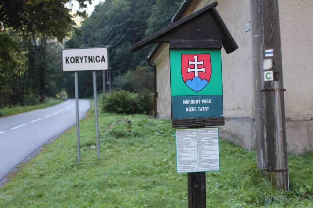
Start: Turn to Korytnica (bus stop ”Lipt.Osada,Korytnica-kúpele,rázc.“)
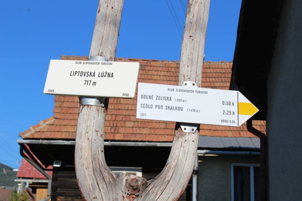
Destination: Liptovská Lúžna (bus stop ”Lipt.Lúžna,,nocovňa SAD“)
Route: 20.5 km
Estimated time: 7.00 hours
Marking: Blue, red and yellow hiking trail mark.
Vertical distance: 1200 m
Difficulty level: The route belongs among the more demanding ones, especially due to the large vertical distance, the length of the route and the steep descent. The terrain is diverse, from gravel / rubble surfaces, rocky sections, through wood paths, meadows, to forest and asphalt roads. The most difficult part of the entire route is probably the steep descent from the ridge, through a clearing.
Safety: Along the route, there are several steep uphill / downhill sections, which are slippery in damp as well as dry weather. Some sections in the woods, especially on the way down, pass through muddy terrain. A large portion of the route consists of gravel and rocky trails, which pose a risk of twisting an ankle. The biggest risk of injury is present when descending on gravel /rocky rubble sections. We recommend using hiking poles and high-quality anti-slip footwear. The route is not suitable for children under the age of 10. The route is also not suitable for persons with reduced mobility.
Transport:
By car: Parking in the vicinity of the bus stop at the turn to Korytnica. However, keep in mind that there are lorries turning here and buses pulling over. Parking is also possible at a metered car park in Korytnica. (We recommend using public transport, as the route does not end where it begins, or you can return from the peak along the same route.)
By bus: From the bus station in Ružomberok to bus stop ”Lipt.Osada,Korytnica-kúpele,rázc.“
By taxi: Taxi from the centre of the town to the beginning of the route will cost you about 20€.
Route:
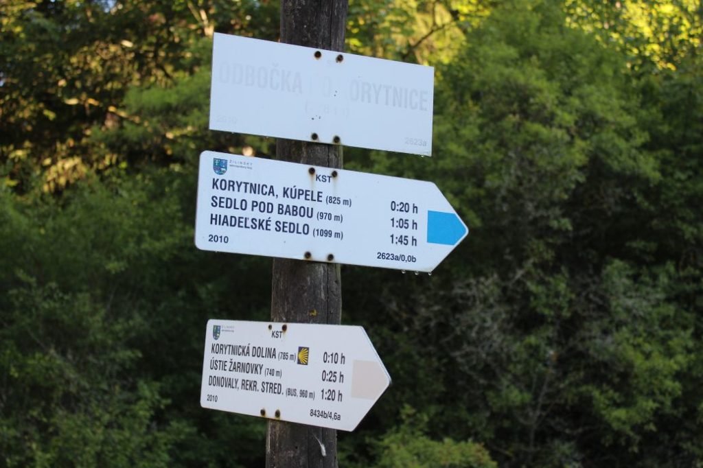
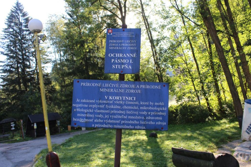
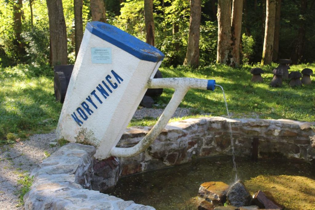
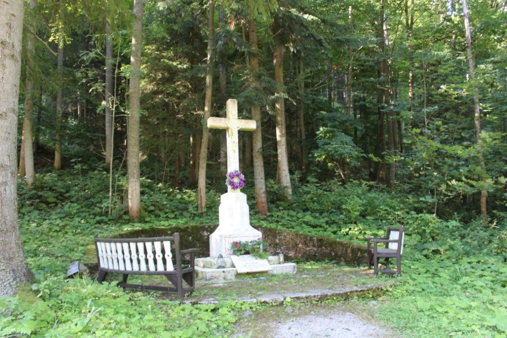
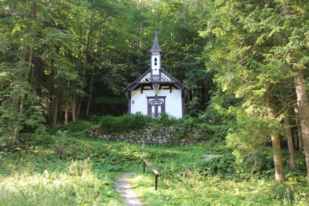
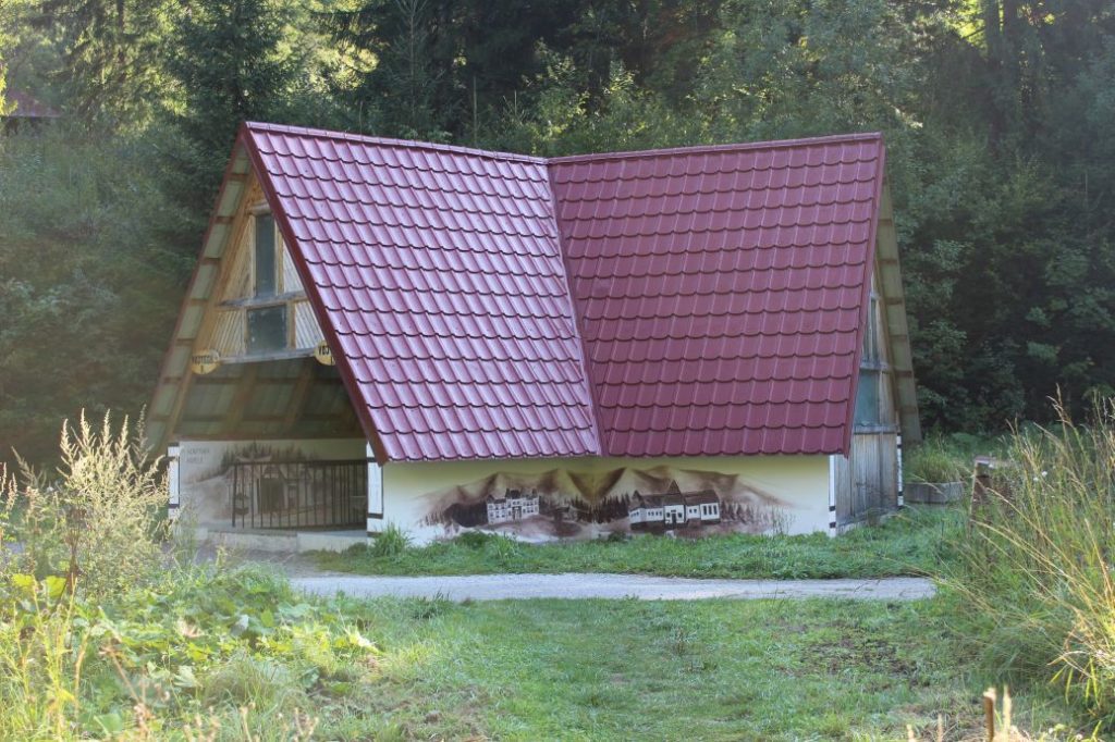
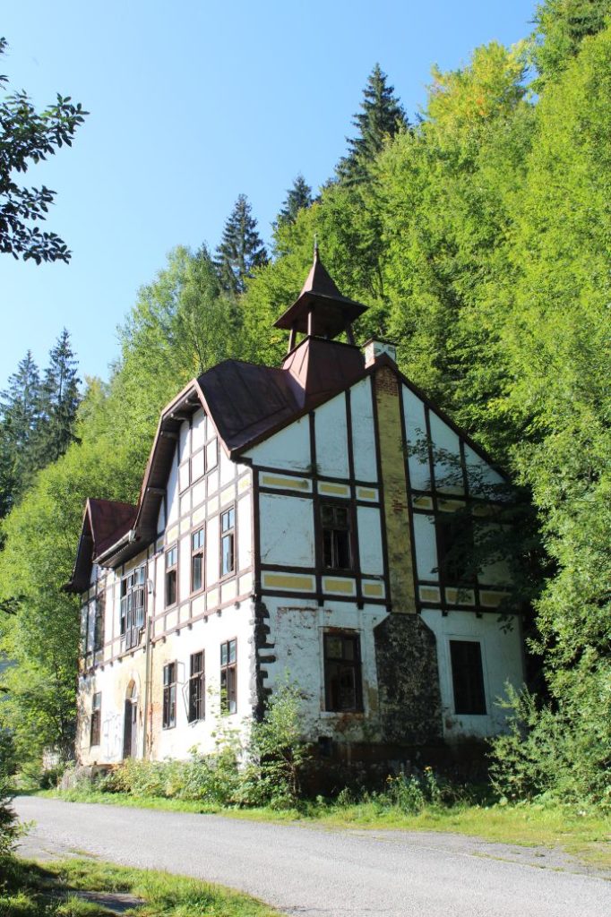
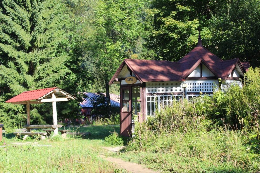
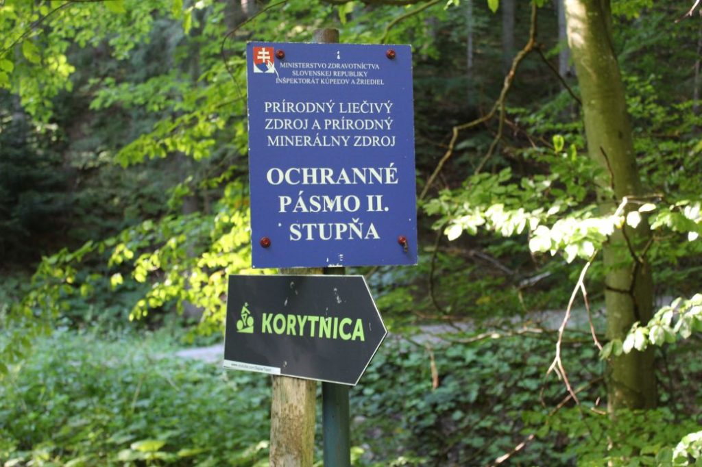
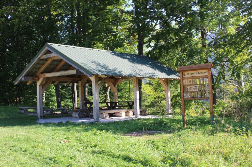
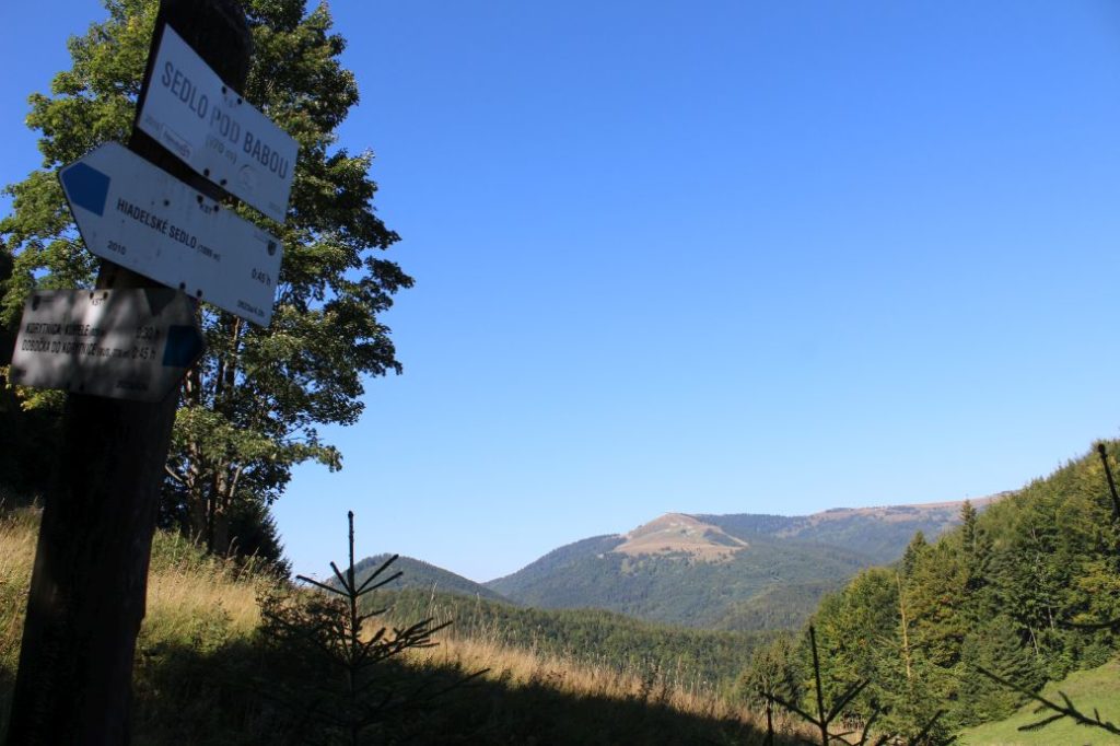
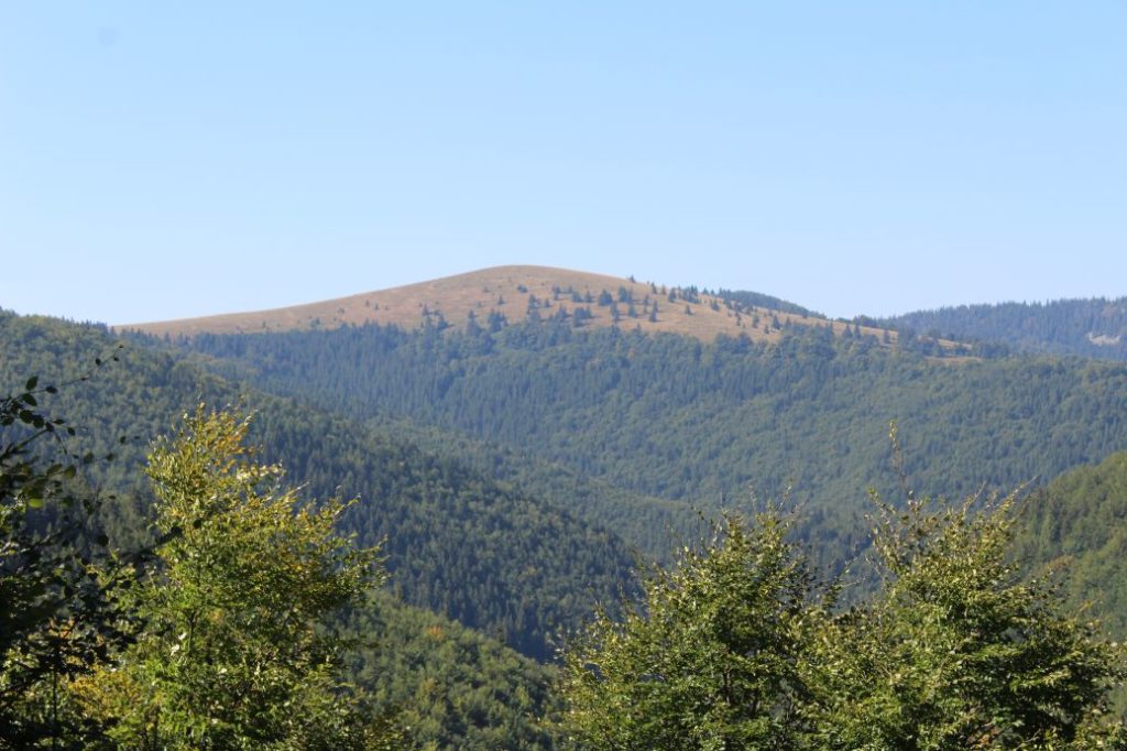
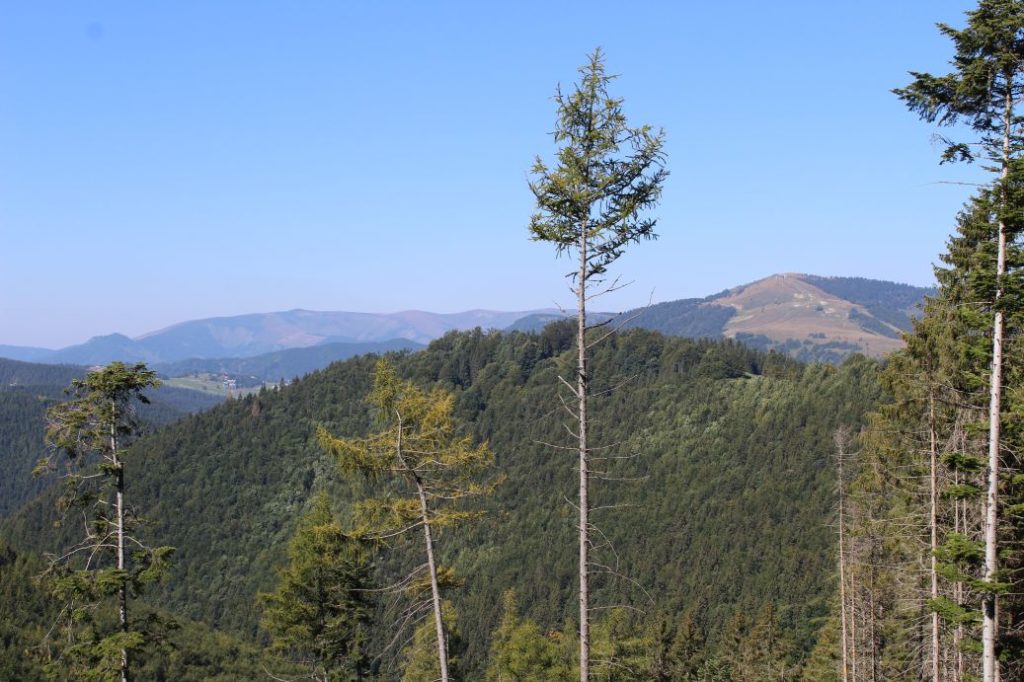
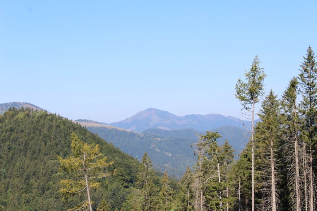
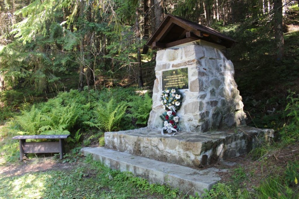
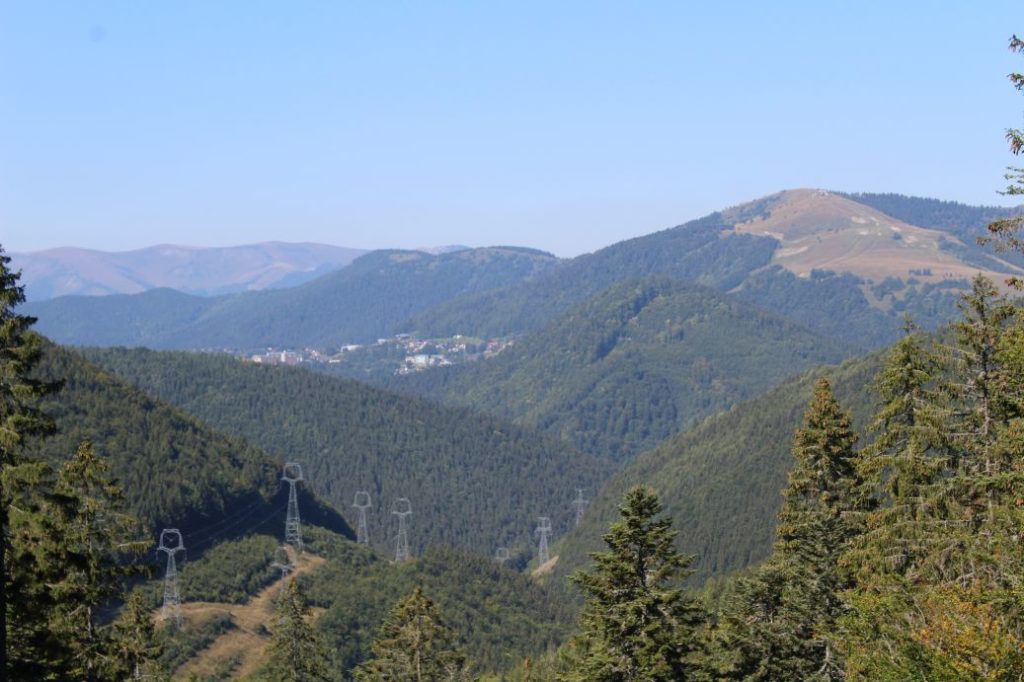
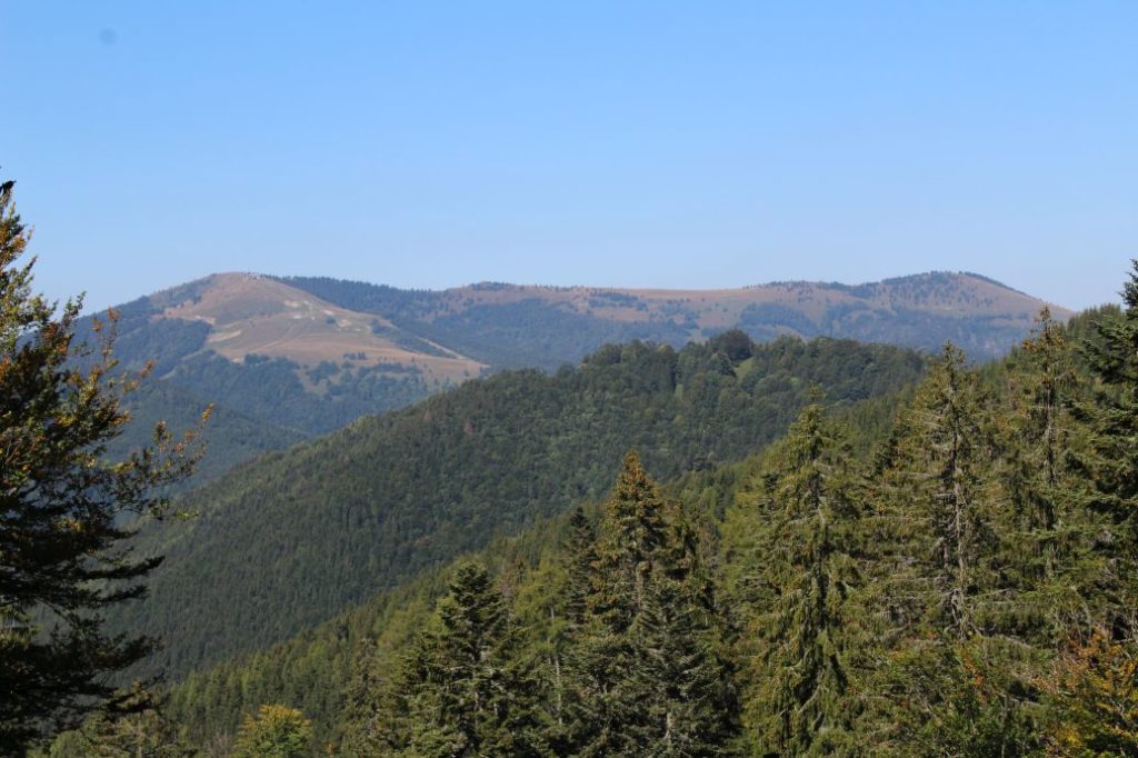
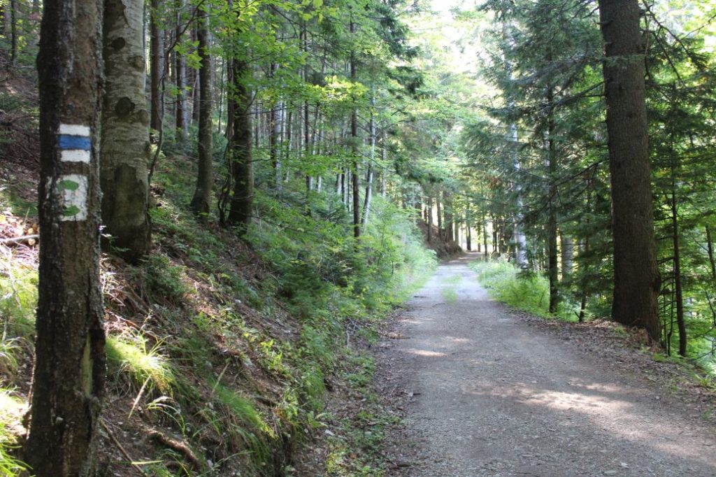
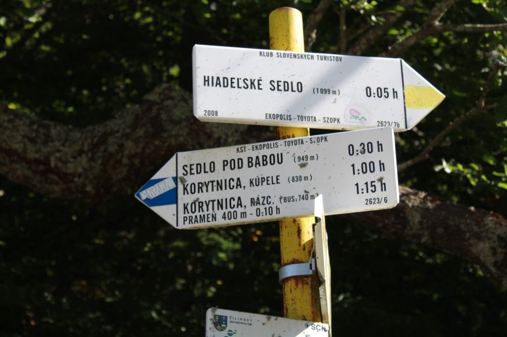
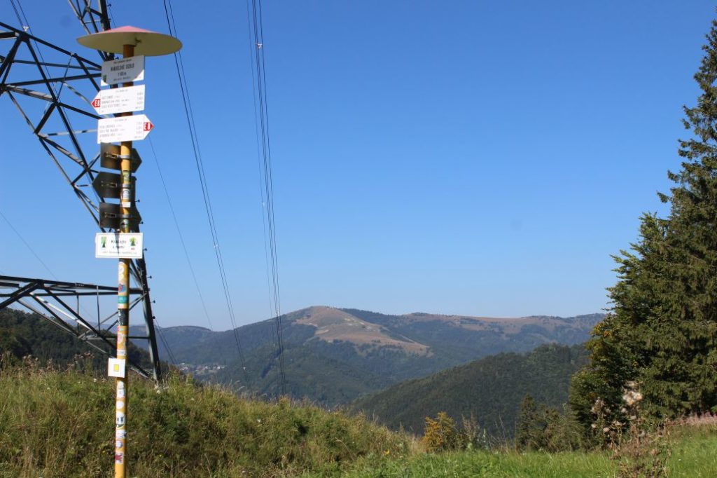
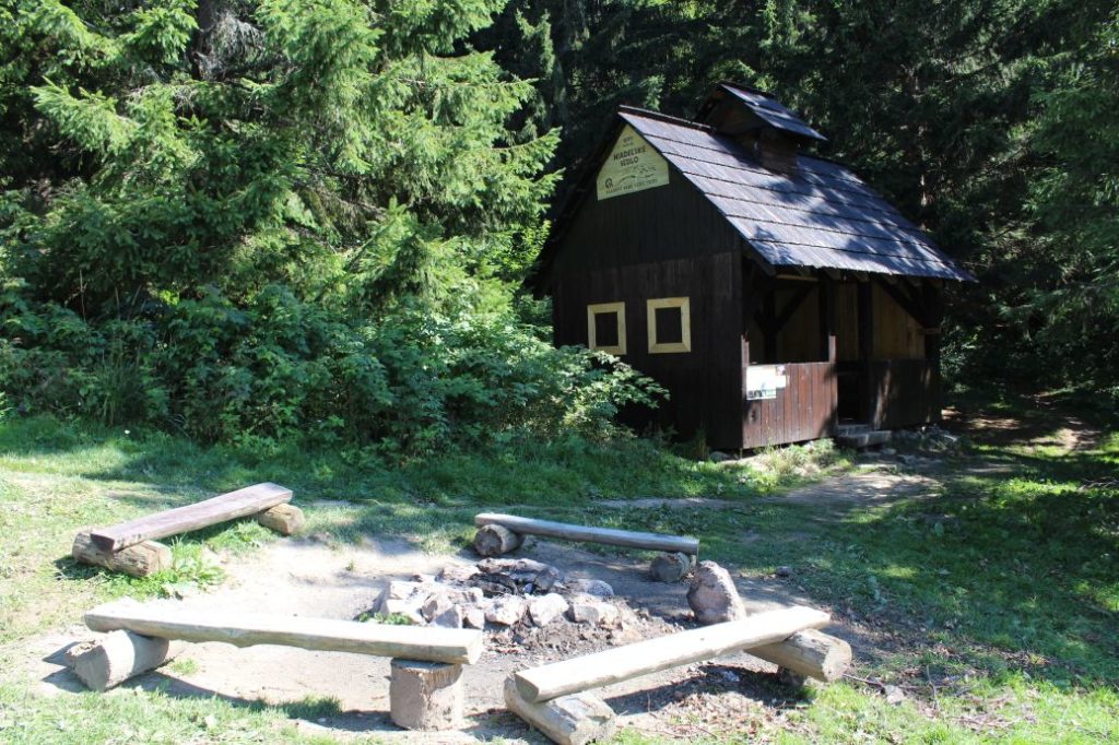
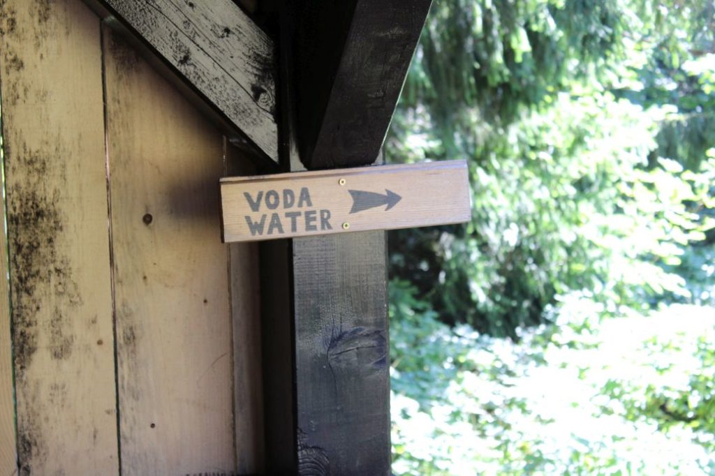
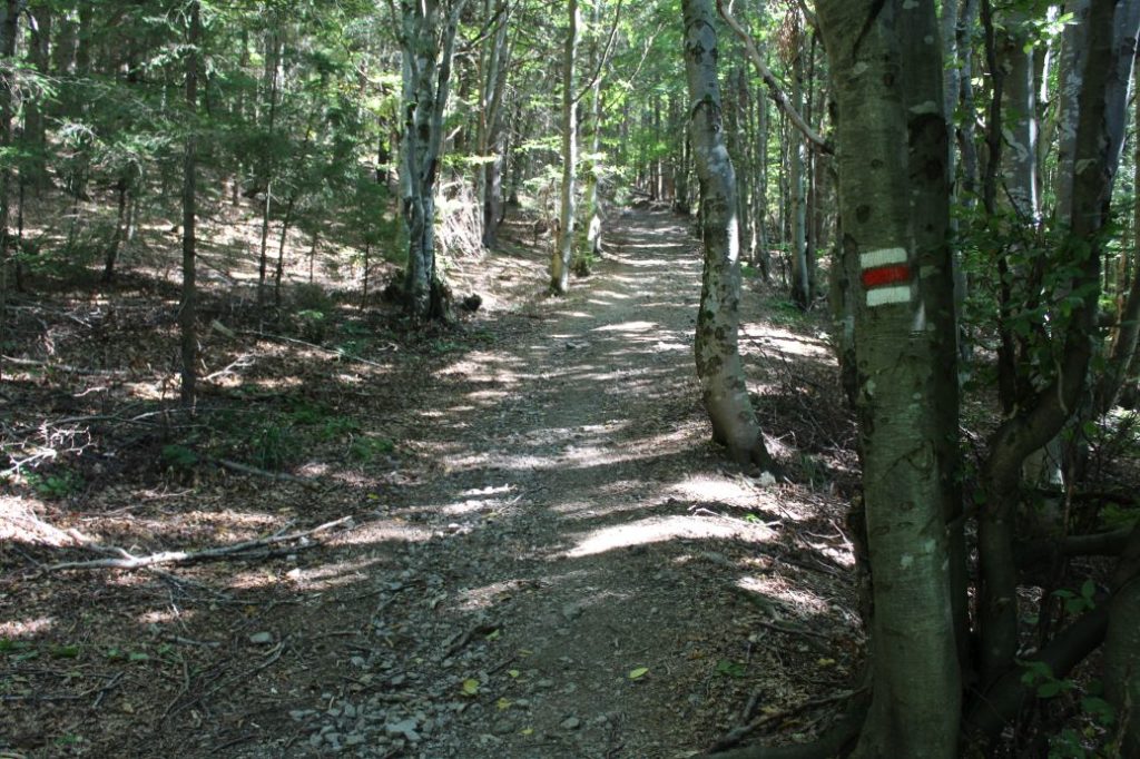
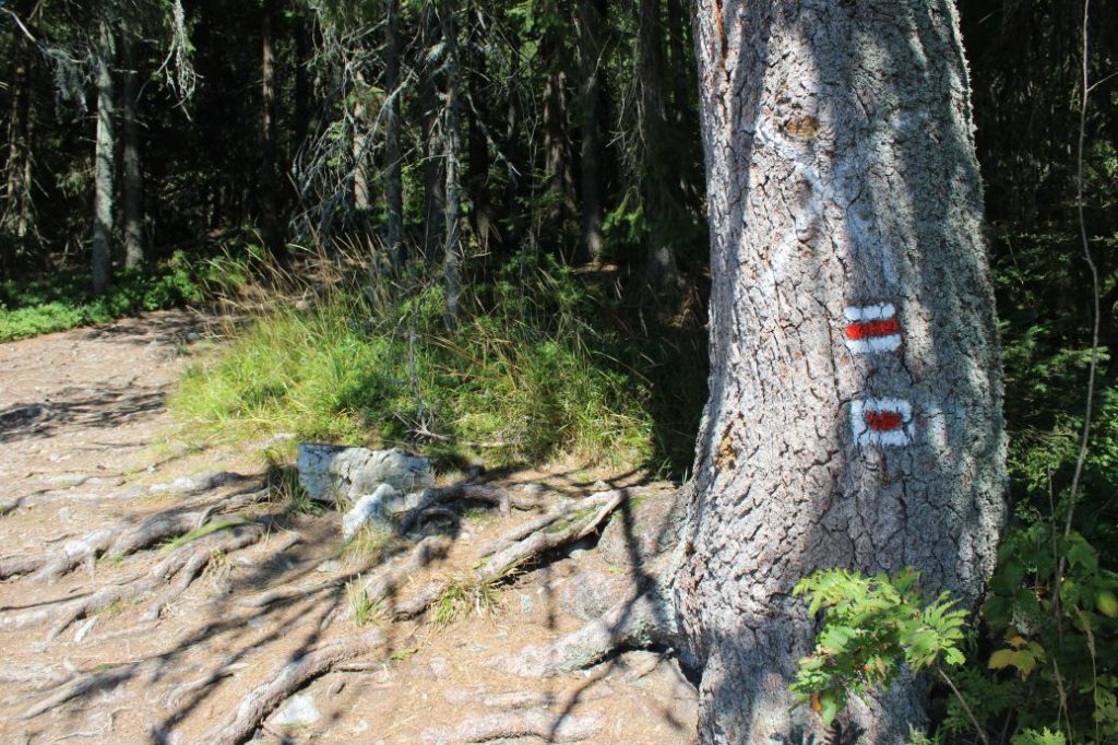
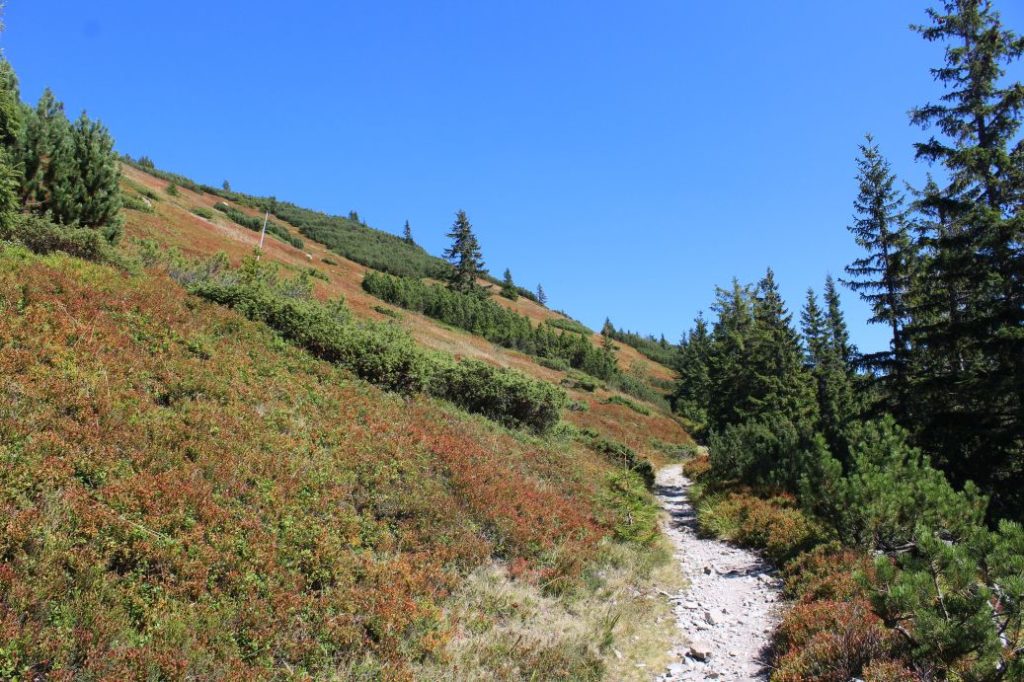
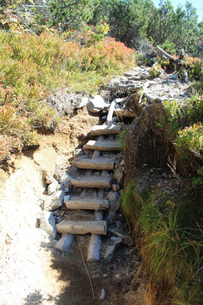
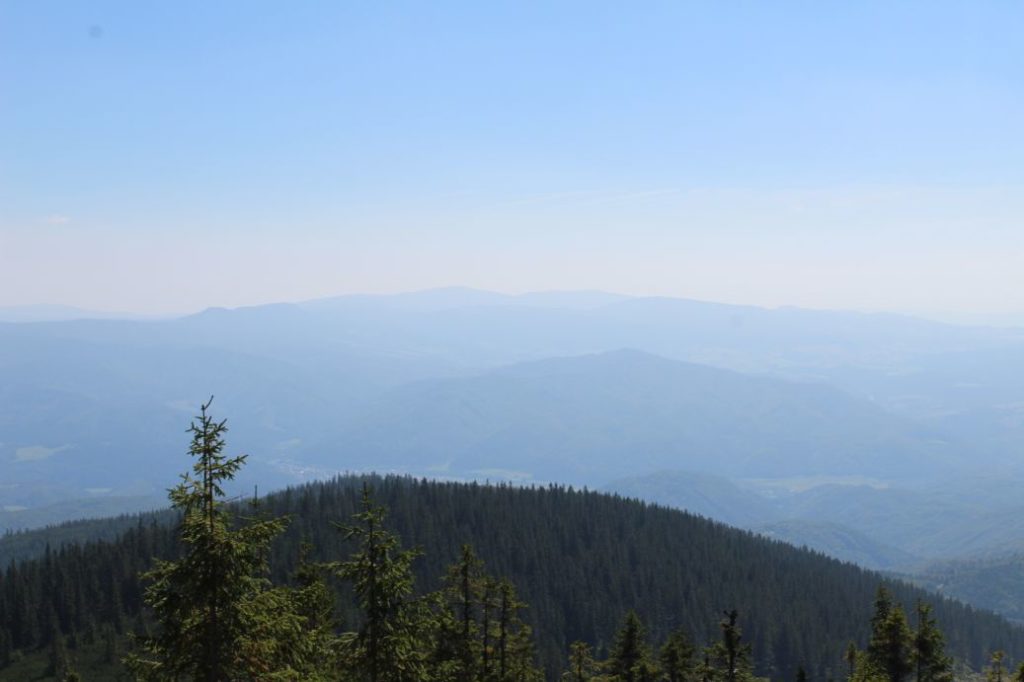
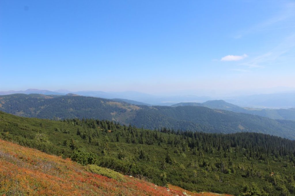
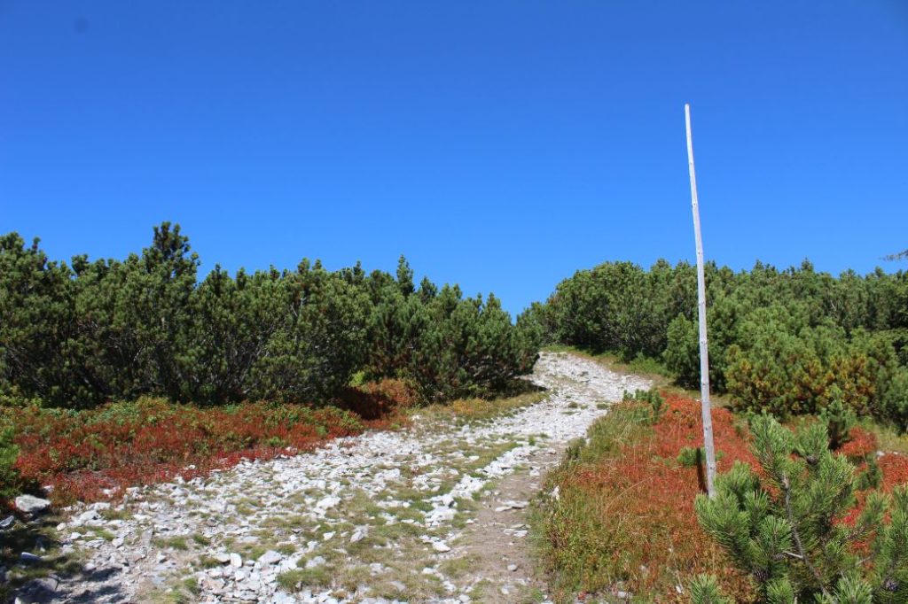
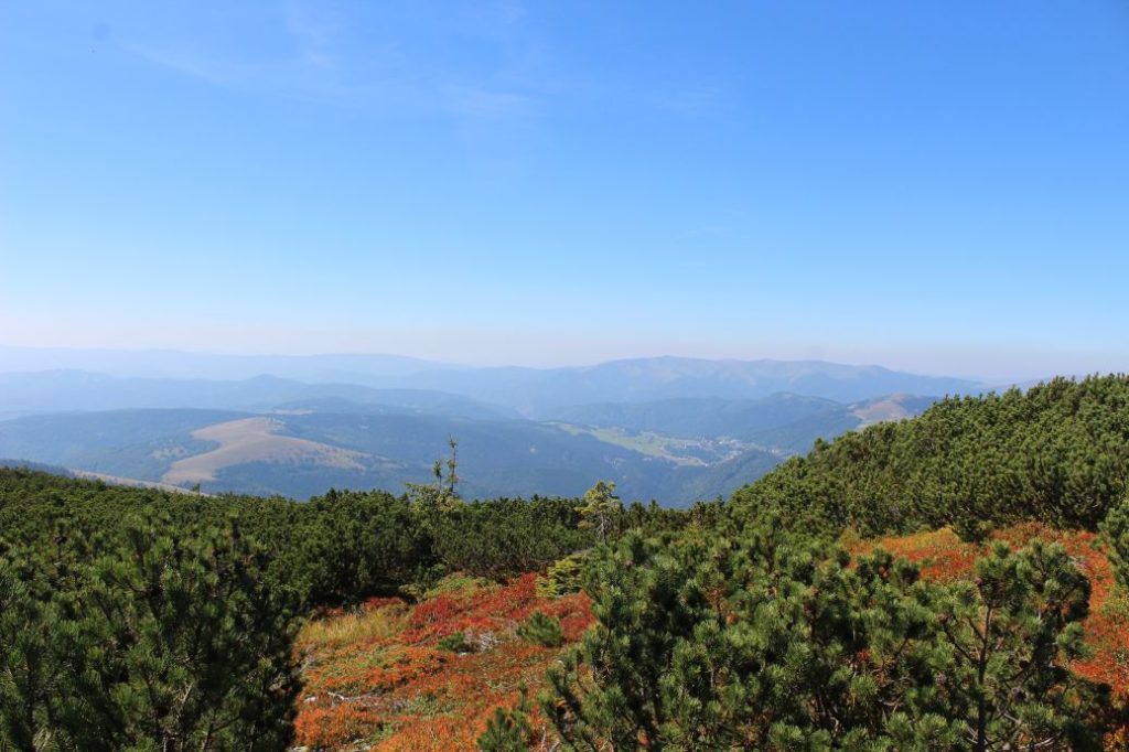
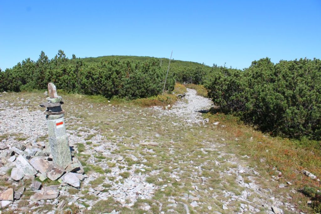
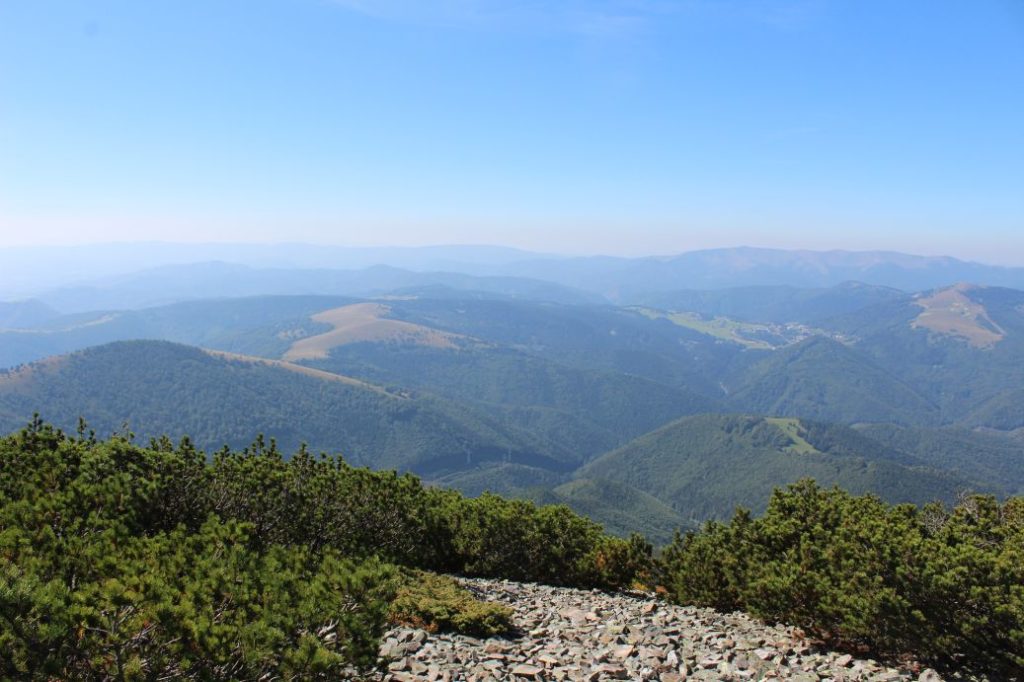
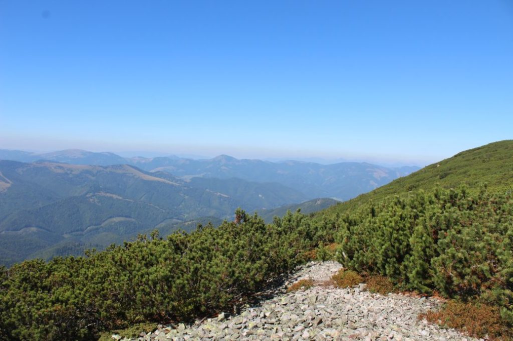
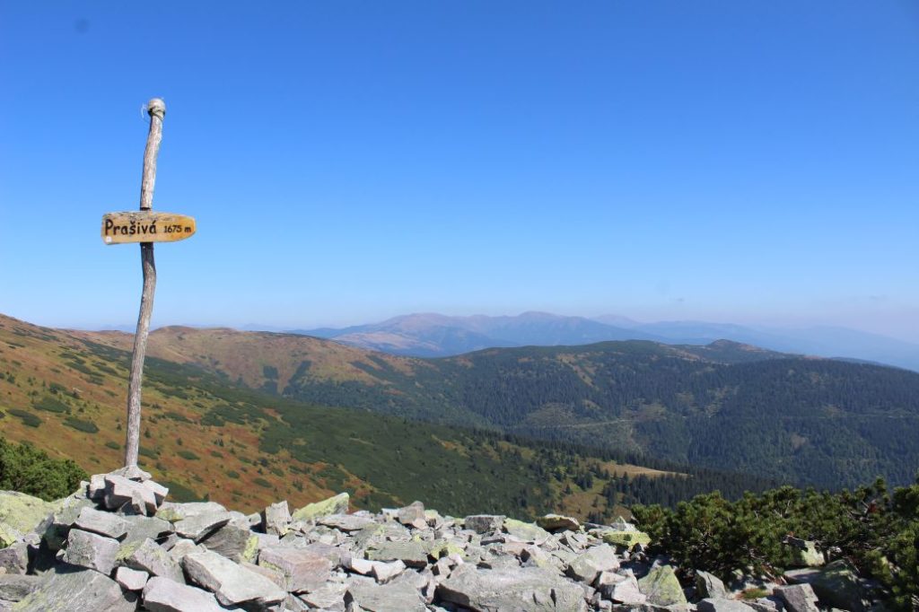
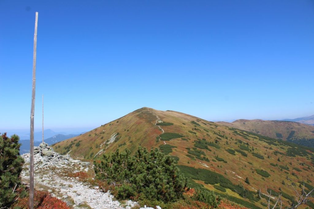
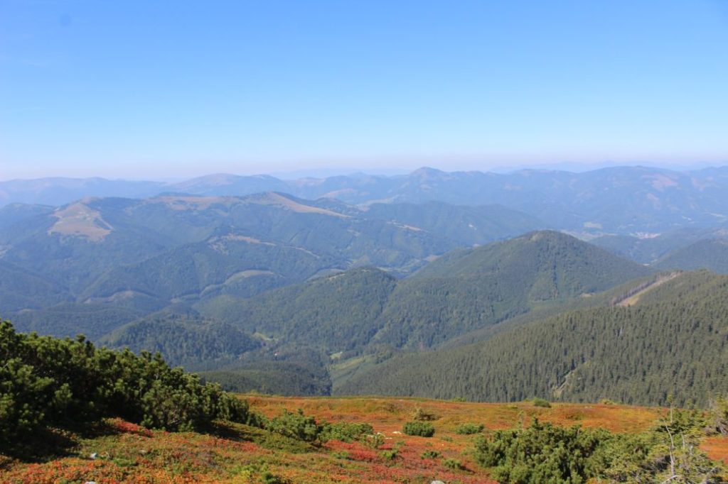
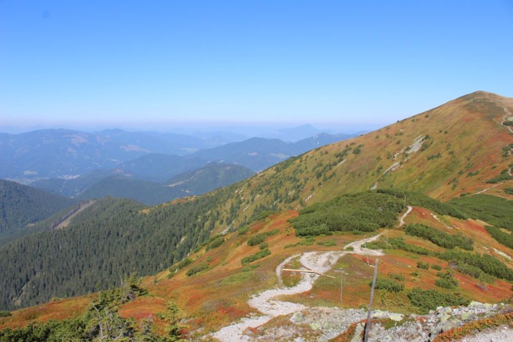
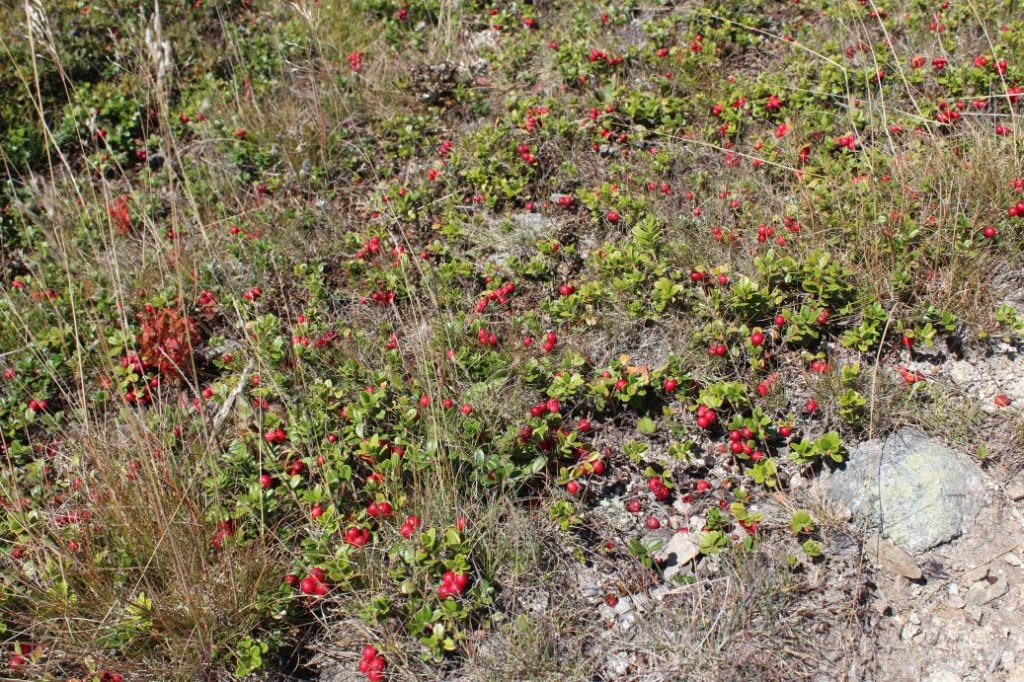
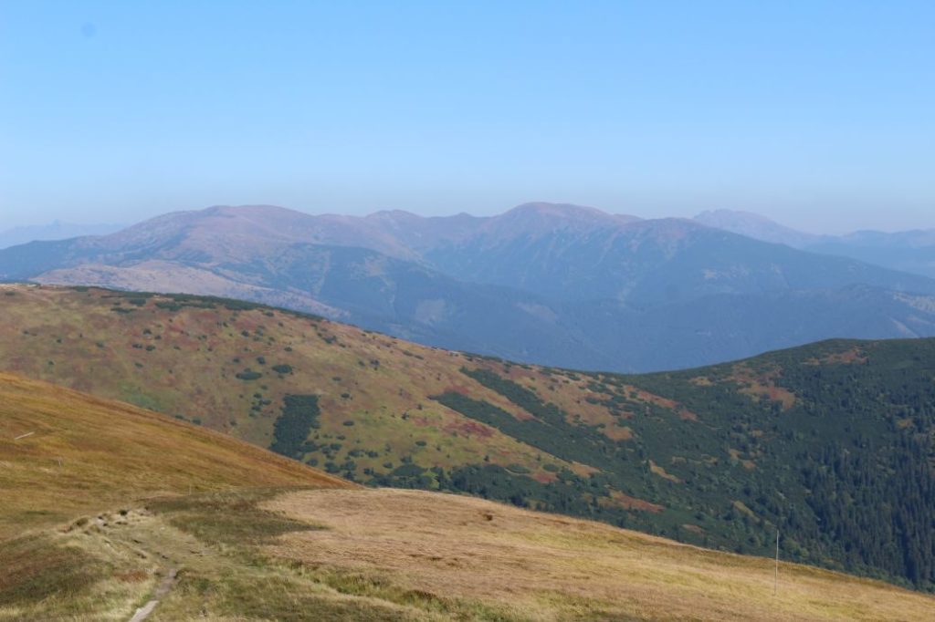
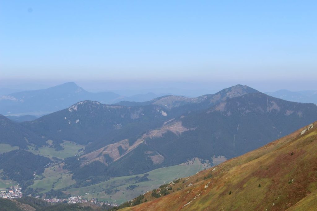
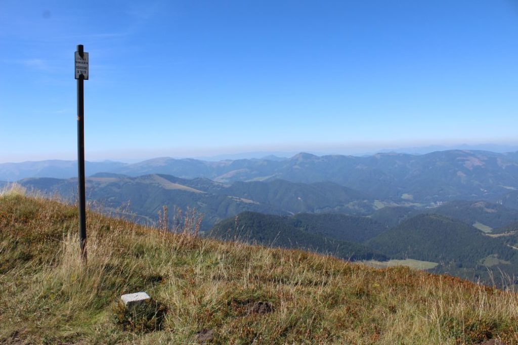
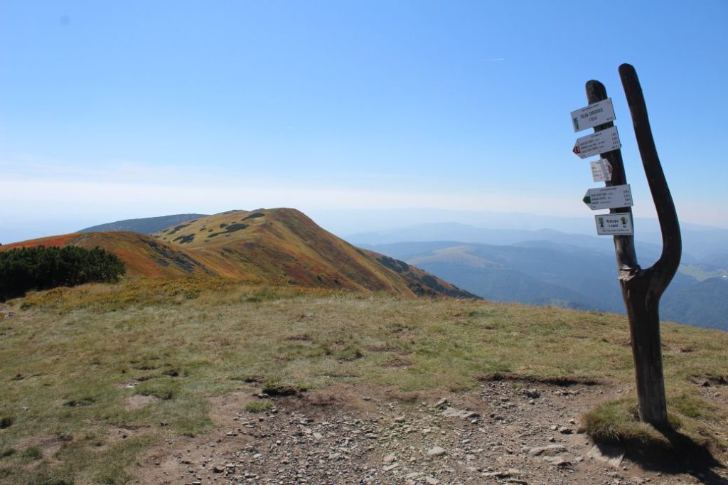
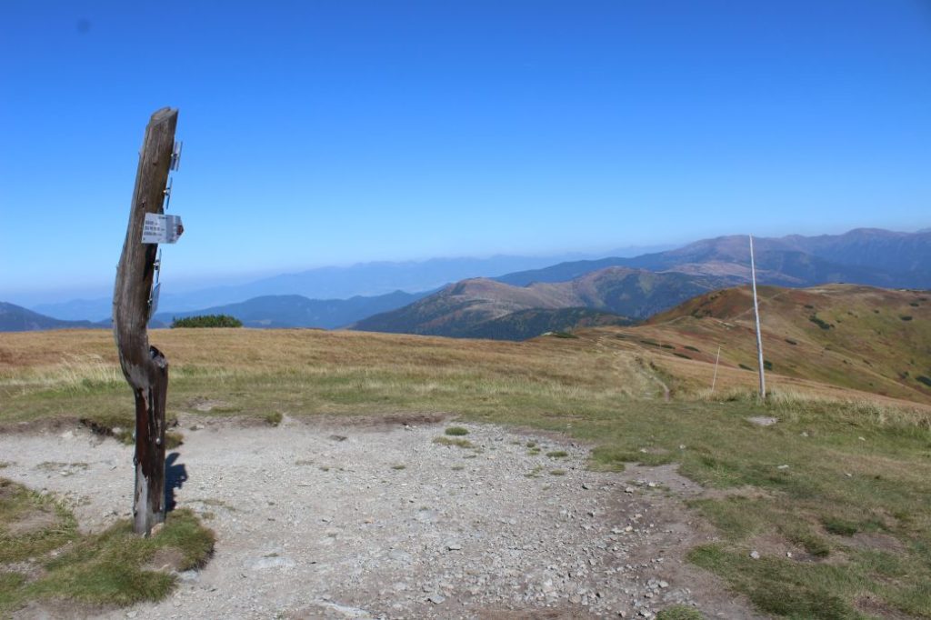
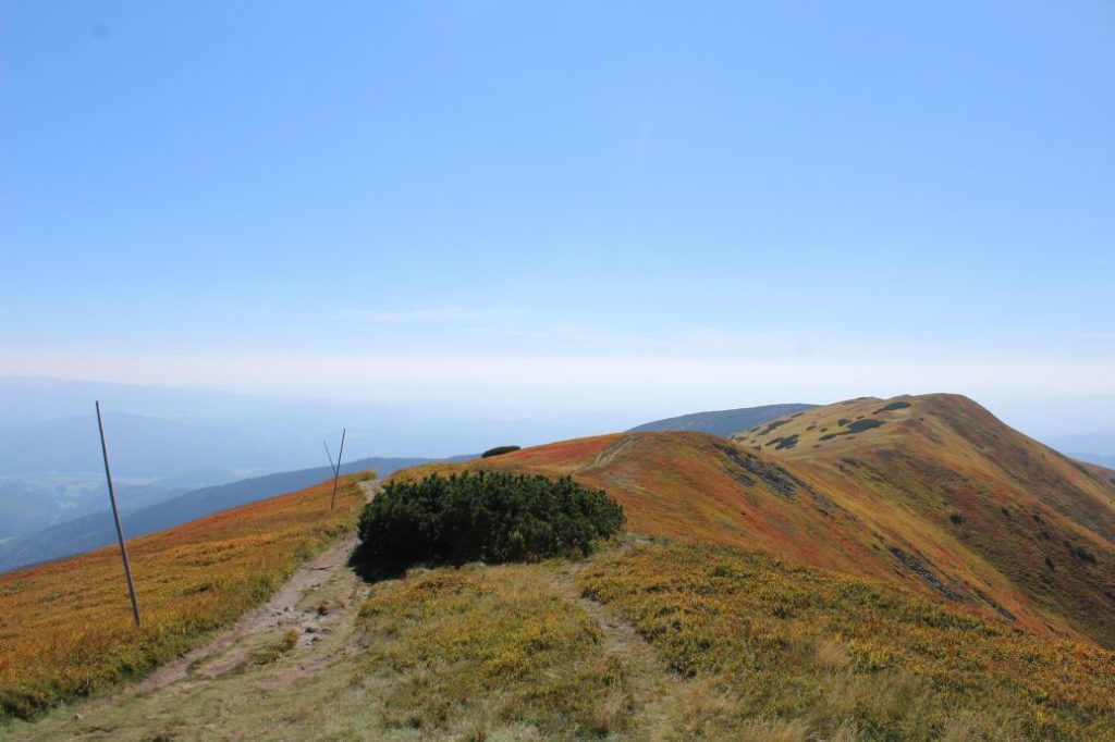
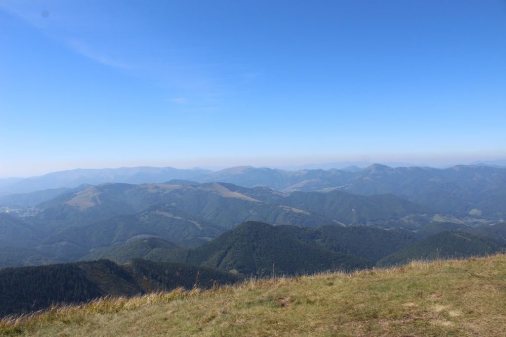
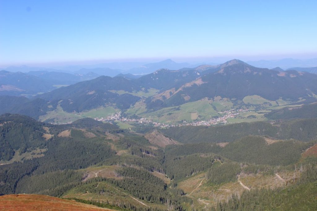
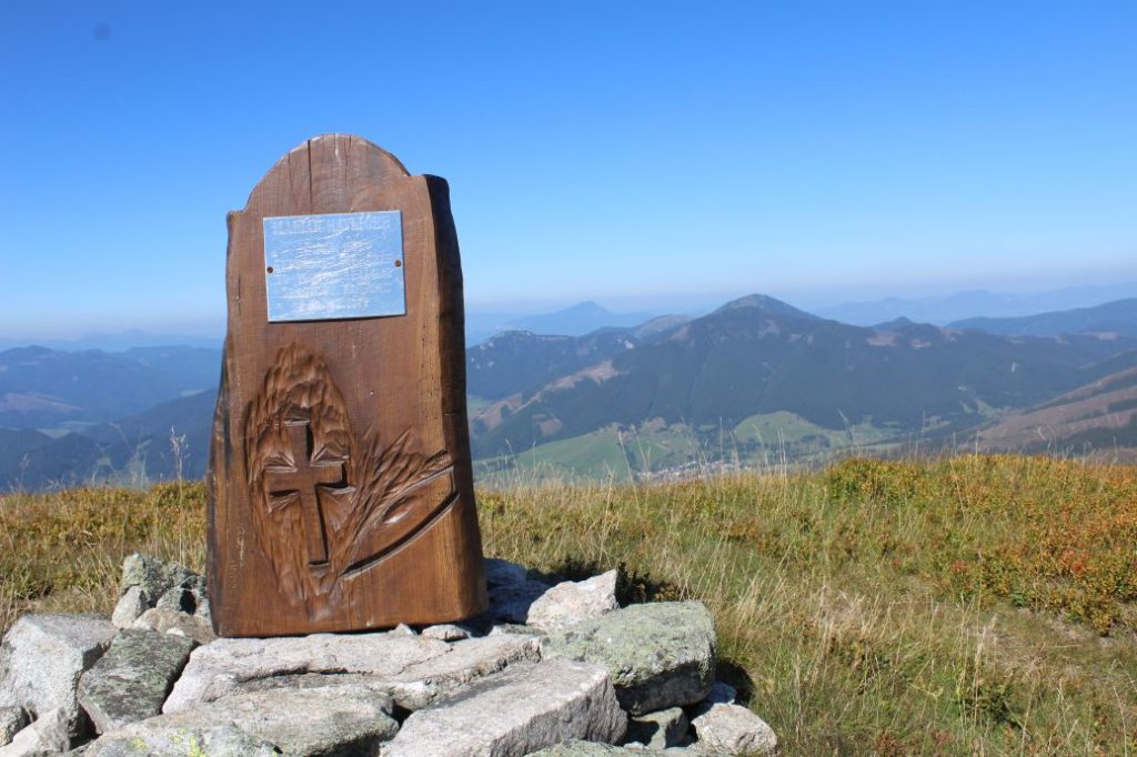
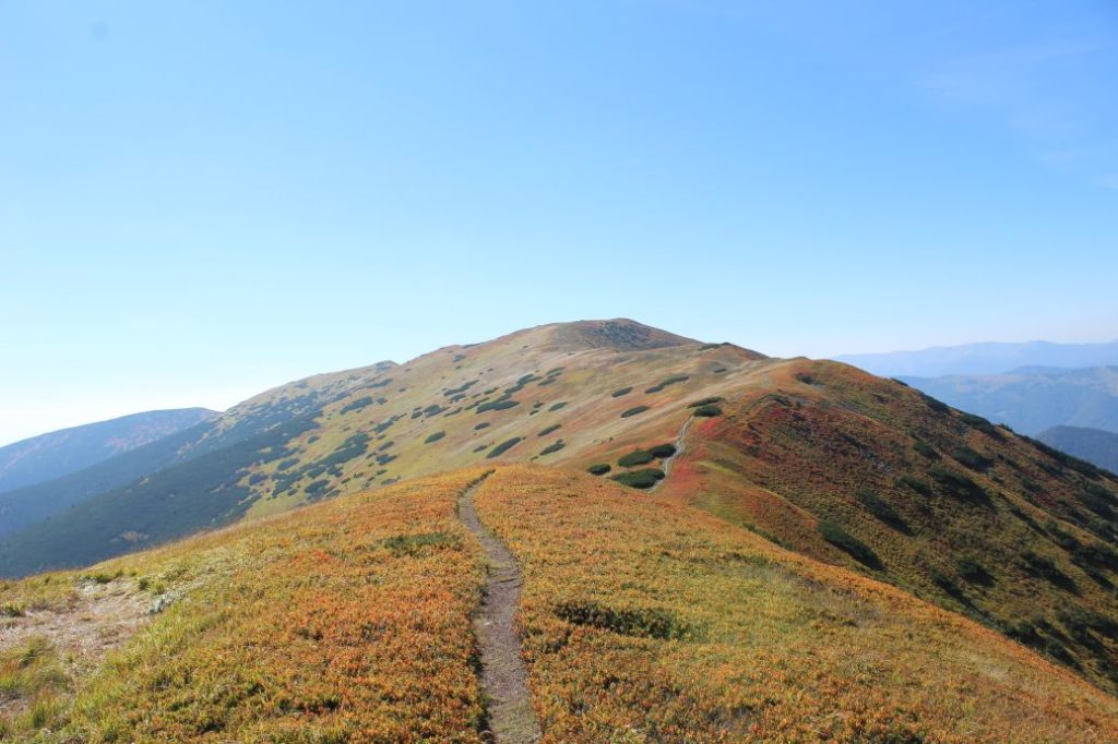
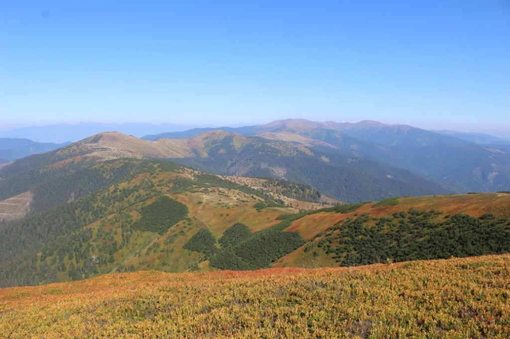
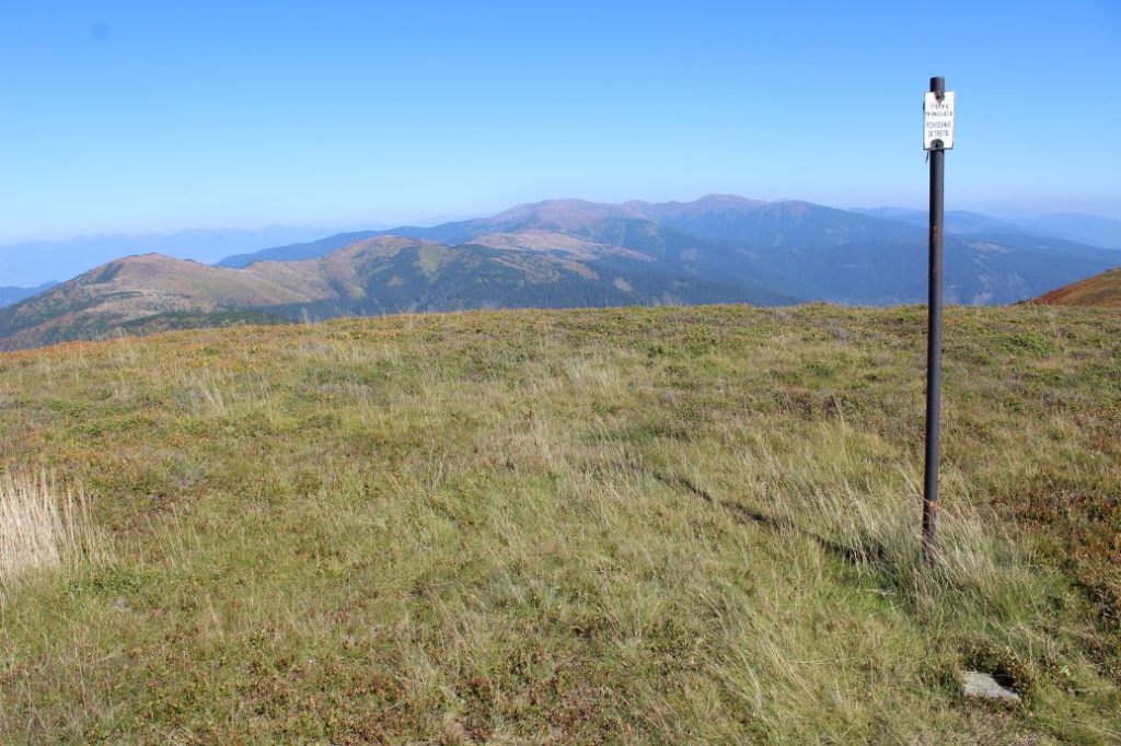
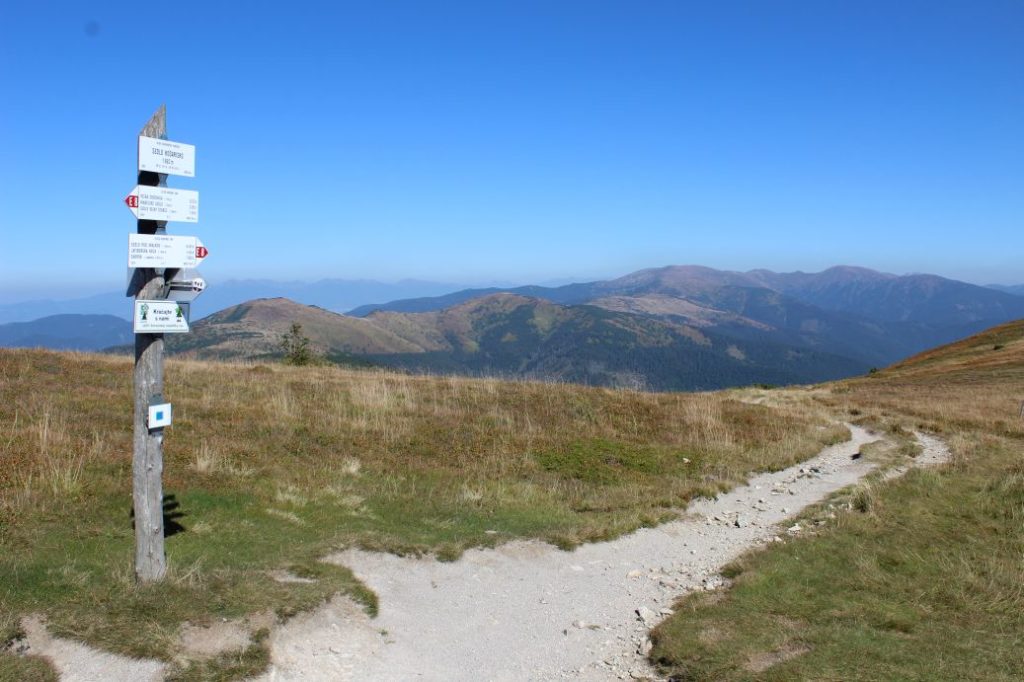
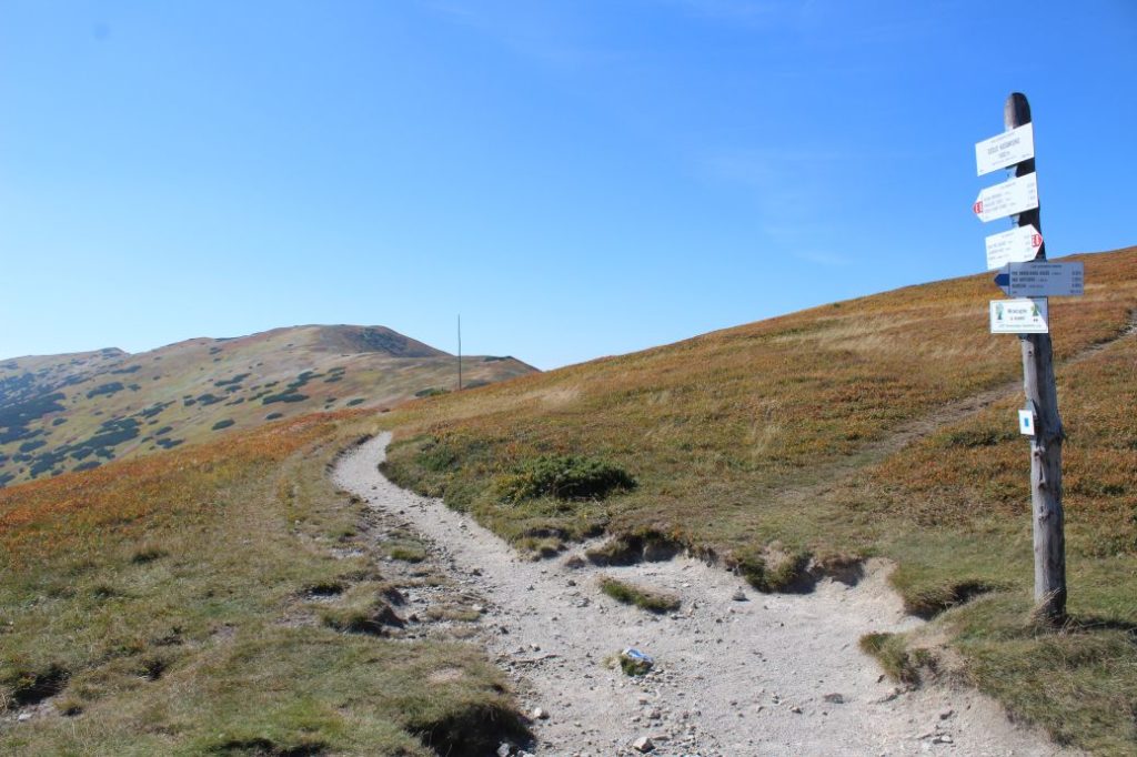
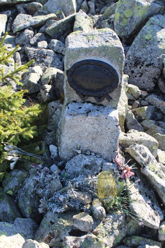
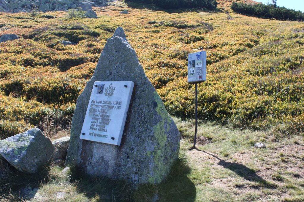
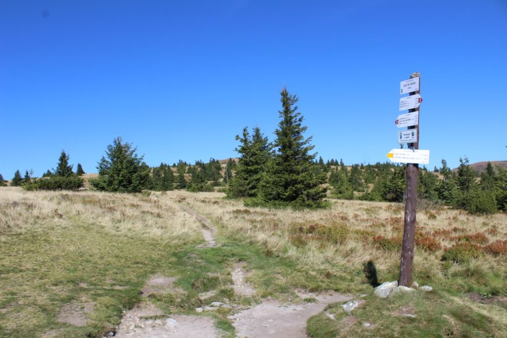
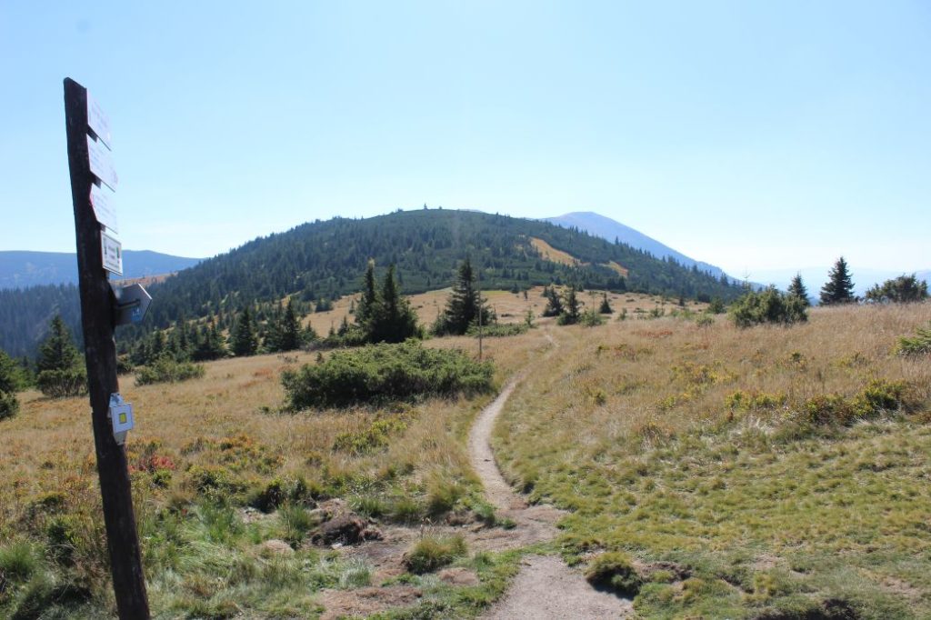
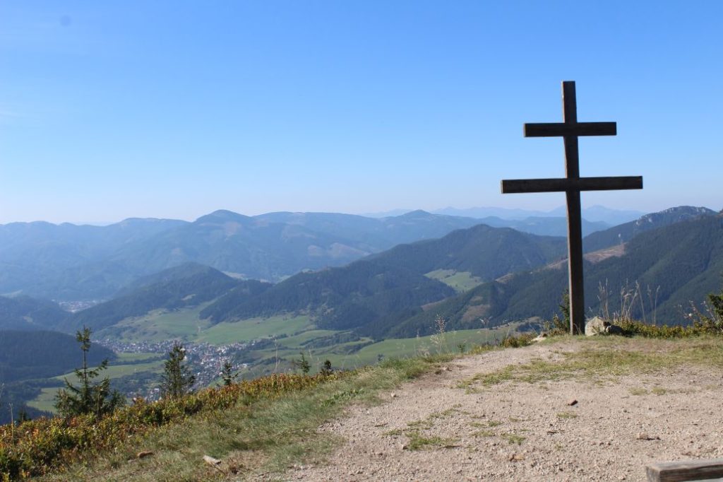
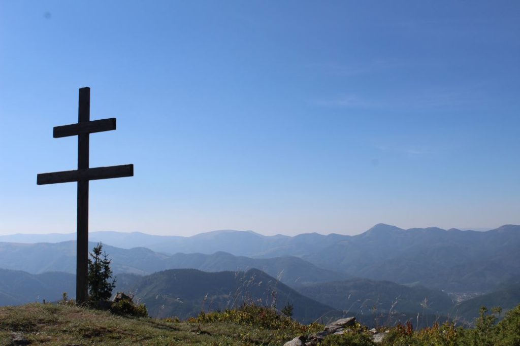
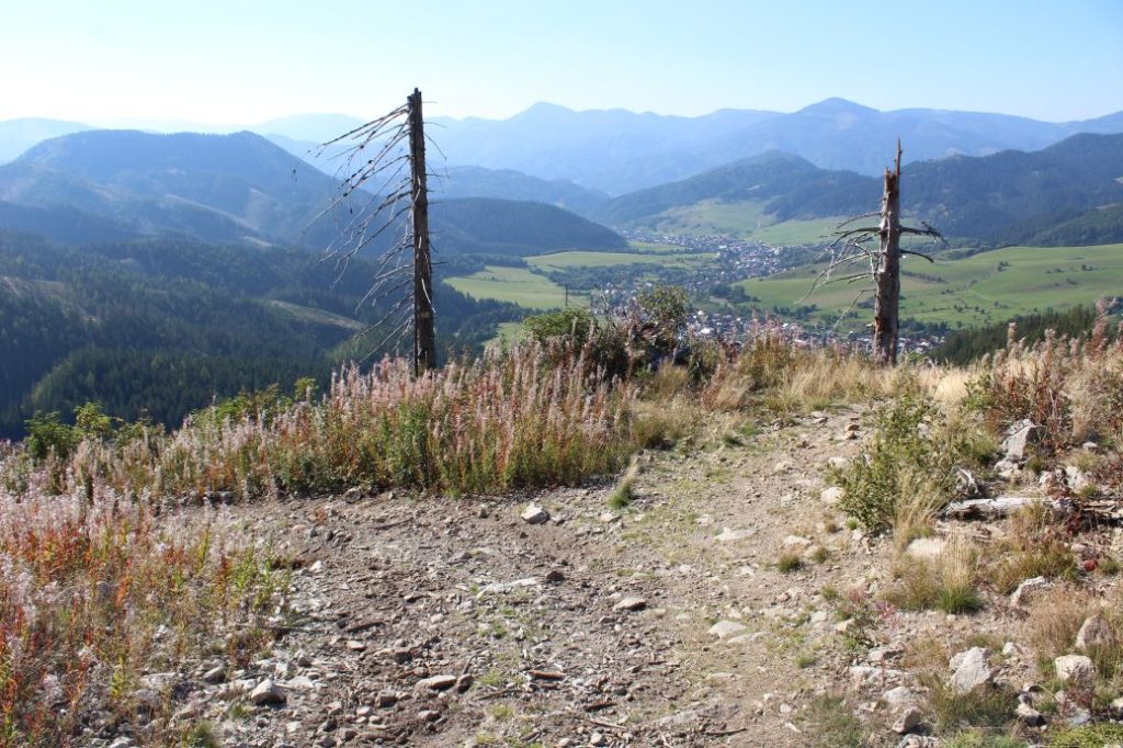
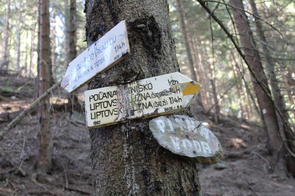
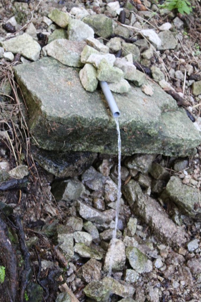
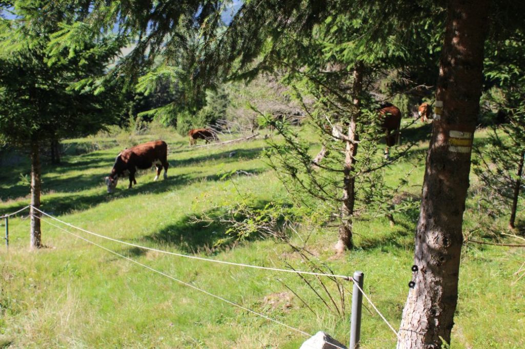
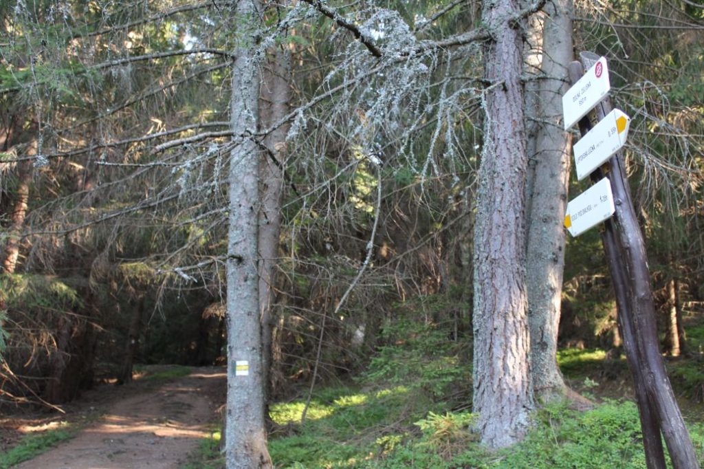
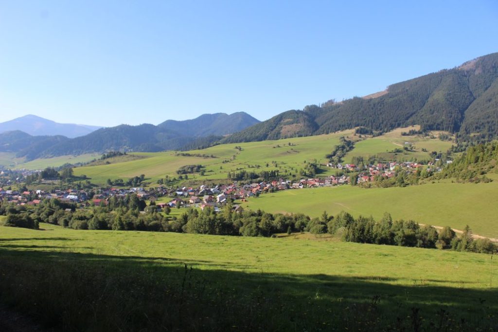
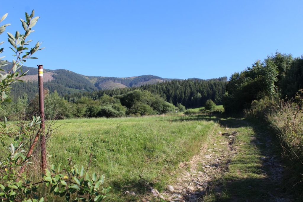
We begin the route at the turn to Korytnica, by bus stop “Lipt.Osada,Korytnica-kúpele,rázc.“. We follow the blue-marked hiking trail, which is going to lead us simultaneously with the green-marked bike trail to notch Hiadeľské Sedlo. The initial section of the route consists of an asphalt road leading us through a small valley, by a creek, to the premises of former Korytnica Spa. There are four accessible mineral springs in Korytnica, which will serve us as a source of potable water on our hike. After drawing a supply of the mineral water, we continue along a gravel road, which leads us through the woods to notch Sedlo pod Babou, where we get the first views. We continue through the woods to a small meadow, which reveals another view. The road continues further through the woods with occasional views of the clearings below the road. Towards the end of our ascent to the notch, we are passing by a SNU memorial and then by an iron conduit on a creek, where we can refresh ourselves, if we want to. The high-voltage line in the notch will navigate us to the signpost in Hiadeľské Sedlo, where we can rest in a wooden shelter with a fireplace before the upcoming difficult uphill section. Then we continue along the red-marked hiking trail, which will lead us along the ridge of Prašivá, which is not only a peak, but also a sub-part of the Low Tatras. The trail through the woods is noticeably steeper than the road which led us to the notch. At the place where the trail curves to the left at the periphery of a partially growth-covered clearing, there is a well (the last water source on our way through the ridge). An indistinct path to the well is marked with a small wooden arrow that reads “H2O”. A little bit farther uphill on a tree, you will also find a standard paint mark for a spring, but the trail at this mark, which leads to the bushes, will not lead you to the spring, you need to go back a few metres downhill and look for the already mentioned arrow, it takes about one minute to get to the spring. Above the spring, the trail arrives at hillsides with blueberry bushes. This location gradually reveals more views and the trail disconnects from the winter pole marking, which serves as navigation for hikers in winter. The trail becomes cut into the terrain and creates a deep and narrow channel, with a small staircase constructed in one place for easier passing. The zone of mountain bushes we have entered will lead us continuously uphill to more blueberry meadows at the peak, where the winter pole marking connects to our trail again. Here, the views become prettier yet again and reveal new, so far hidden areas. The trail through the zone of mountain bushes leads us below the peak of Prašivá, where we get a lovely view of Liptov from the viewpoint located on the left. Situated a little bit further ahead is the very peak of Prašivá, which is marked with a wooden pole and a wooden table with the name and the altitude. From the peak of Prašivá, in the distance, you can even see peak Kriváň of the High Tatras or the peaks of the West Tatras. We continue along the trail through the zone of mountain bushes and after a mild downhill section, we enter mountain meadows covered with blueberry and cranberry bushes. We climb to Malá Chochoľa in front of us, where we get views of the Small Fatra. The trail running mildly downhill and uphill will lead us to the highest point of our route, peak Veľká Chochuľa. Salatín and Great Choč with the Choč Mountains are the new clearly visible dominants in our view. The peak also reveals views of another section of the Low Tatra ridge, which was hidden behind the massif of Veľká Chochuľa. The trail leads us mildly downhill past a small wooden memorial of a tragic event, after which we arrive at notch Košarisko. On the way down, we pass by another memorial plaque and then a memorial to the victims of an avalanche during the SNU, at which there is also a hikers’ book. However, we were not able to open the protective metal cover of the book. The trail will lead us to the zone of mountain bushes, where we are passing below peak Skalka, which is covered with growth. We arrive at large meadows with some sections covered with mountain bushes and small trees. Smiling at us from a distance, approximately in the centre of the meadow, is a signpost titled “Sedlo pod Skalkou” at which we say goodbye to the Low Tatra ridge and we head to the left, along the yellow-marked hiking trail. There are several trodden trails running from the signpost and you need to choose the one which is pointed to by the yellow direction sign. The trees with painted yellow marks will reassure us that we are on the right trail, which leads us mildly downhill to a more steeply sloping rocky-rubble trail. The steep and rocky downhill trail will lead us to a viewpoint with a wooden double cross and a modest sitting area, from which we can admire the view of Liptovská Lúžna. The steep downhill trail leads us down a sawn up blowdown with many fallen dry trees, to a clearing. We walk down the clearing on a rocky / rubble sloping road. At the bottom part of the clearing, the sloping road turns left, and at the beginning of the woods, the trail exits the road and enters the woods, to the right. After a while, it passes through another sloping road, which it just crosses and continues through the woods. In this section, there are fallen trees and you need to look around and maintain contact with the marking, which is abundant here. The steep downhill trail leads us to a spring, where we can refresh ourselves. The trail passes through wetlands, where we get muddy a little, and along the periphery of the woods, to a creek. After the creek, we walk along the periphery of a meadow to get to a path, which leads us through the woods to a signpost in the area of Dolné Želiská. From the signpost, we continue on a sloping road, which leads us through the woods and then along the periphery of a meadow, to the village. In a small valley near the periphery of the village, we turn right in the direction to the village. At the intersection at the end of the fields, we follow the path on the left, which will lead us to the houses, and after a few minutes, to the end of our route. The nearest bus stop is situated a bit farther downhill. The Great Fatra, the Small Fatra, the Staré Hory Mountains, the Kremnica Mountains, the Choč Mountains, Poľana, the Vepor Mountains, the West Tatras, the High Tatras, the Liptov region, the Upper Hron River region and much more we were able to see along our route. All we needed to do was to stop and look around. We can let our impressions from the trip soak in for a long time after our visit to this beautiful corner of the landscape.
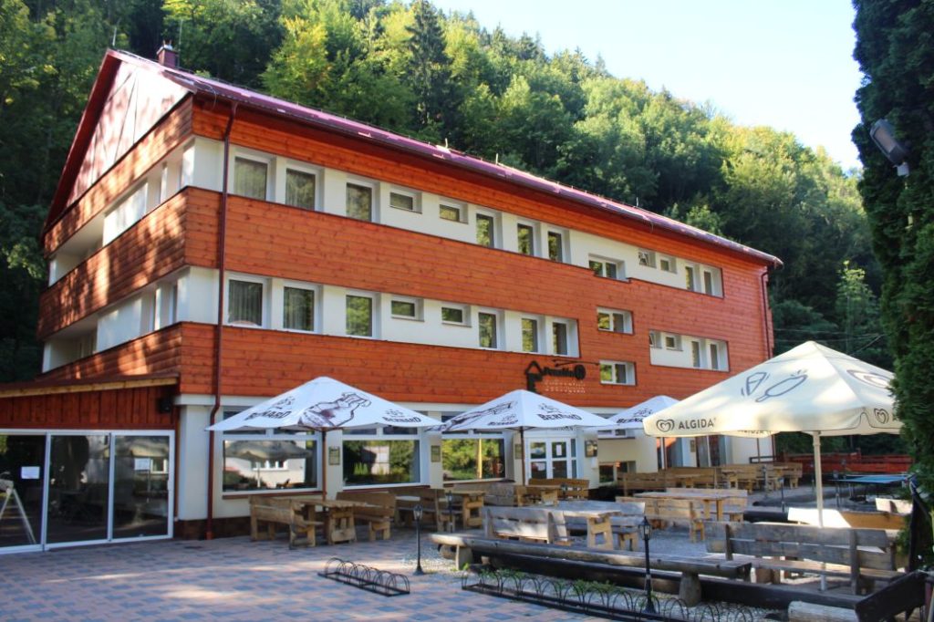
After completing the route, we can use the services of the local refreshment establishment situated near the bus stop.
Notes:
– The route is situated in the Low Tatras National Park.
– The route passes through a protected spa territory.
– In Korytnica, there is a metered car park and a refreshment establishment.
– In Korytnica complex, there is a SNU memorial.
– The route from Korytnica to notch Hiadeľské Sedlo is used as a ski track.
– Notch Hiadeľské Sedlo separates the Low Tatra Mountain from the Staré Hory Mountain, and the Liptov region from the Upper Hron River region.
– In notch Hiadeľské Sedlo, approximately 100 m away from the shelter, there is a well with potable water.
– Situated in notch Hiadeľské Sedlo is a wooden cross, an educational panel about the Špania Dolina Water Line, about activities of the Partisans in the area, and also the rules for the visitors of the Low Tatras National Park.
– The section of the route on the ridge along the red-marked trail is a part of European long distance route E8 and it is also a part of “Cesta hrdinov SNP” (Trail of SNU Heroes).
– Connecting to the route in notch Hiadeľské Sedlo is a blue-marked hiking trail from Hiadeľ and a yellow trail from Moštenica.
– Connecting to the route at the peak of Veľká Chochuľa is a green-marked hiking trail from Brusno.
– Connecting to the route in notch Košarisko is a blue-marked hiking trail from Nemecká.
– Situated near the end of the route is a SNU memorial and a replica of a Partisan bunker.
– Situated near the end of the route is a grocery store, a refreshment establishment and an accommodation facility.

